Elevation of W Main St, St Clairsville, OH, USA
Location: United States > Ohio > Belmont County > Richland Township > Saint Clairsville >
Longitude: -80.8895114
Latitude: 40.0047023
Elevation: 251m / 823feet
Barometric Pressure: 0KPa
Related Photos:
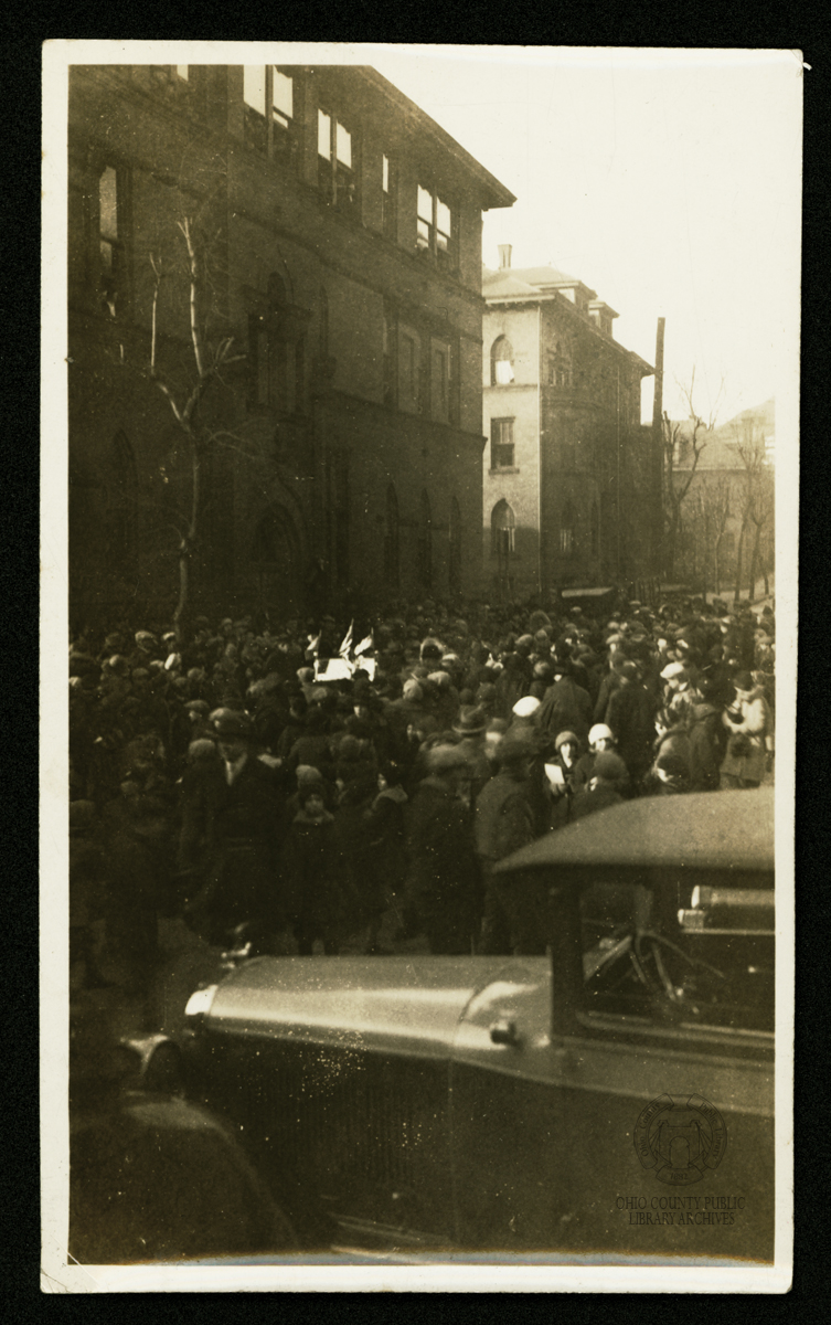
A crowd gathers to view the Eskimo parade

Sharing Time
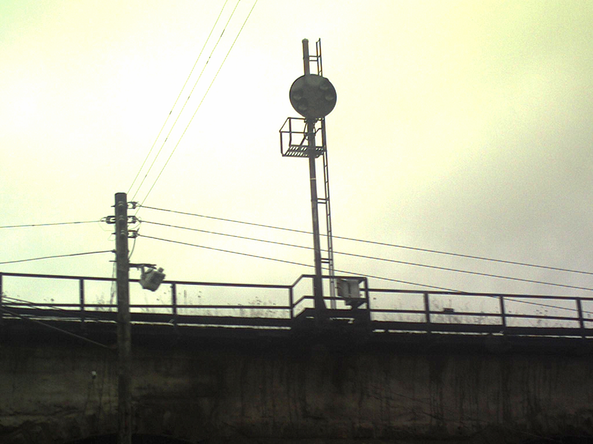
Abandoned B&O Railroad Signal, Bellaire, OH
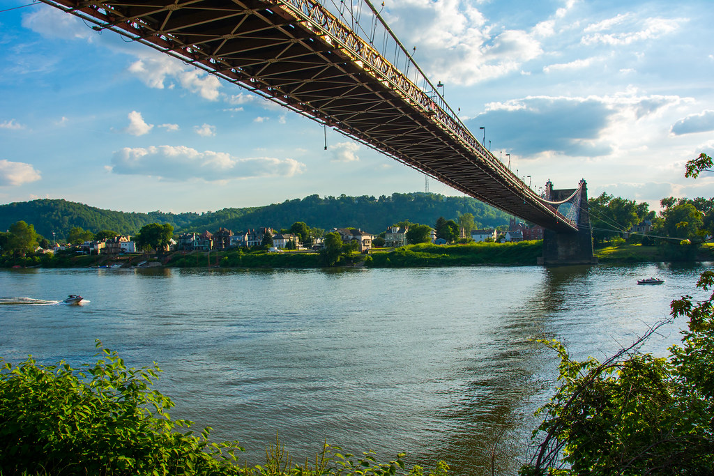
Wheeling Suspension Bridge
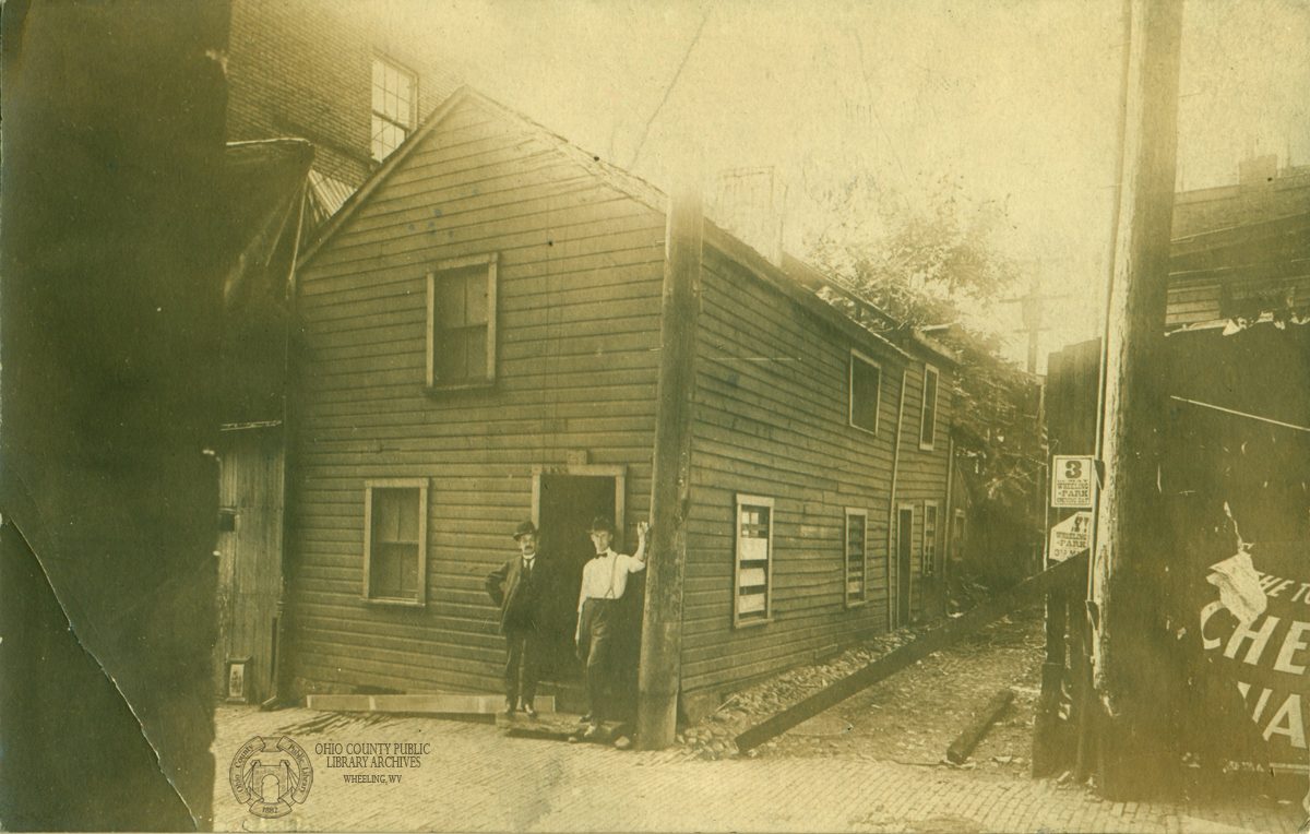
Real Photo Postcard: First House in Wheeling
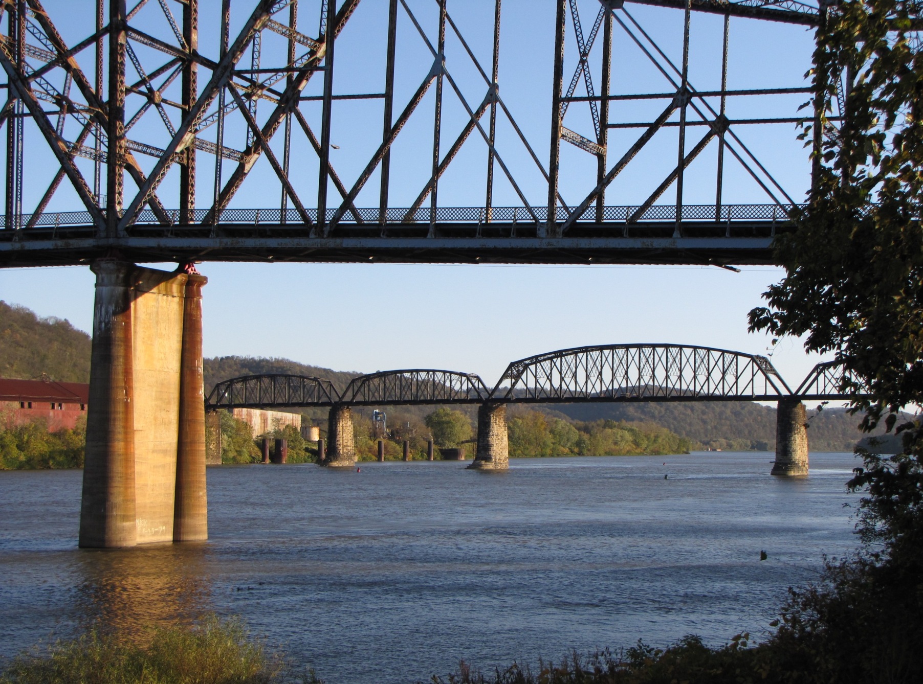
Bellaire Bridge Ohio River

Bridgeport Support

North Wheeling Island

Bellaire Bridge Ohio River
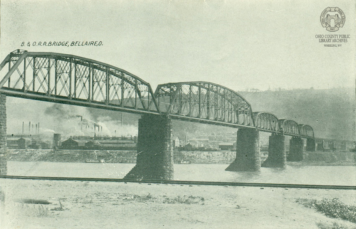
Bellaire Railroad Bridge
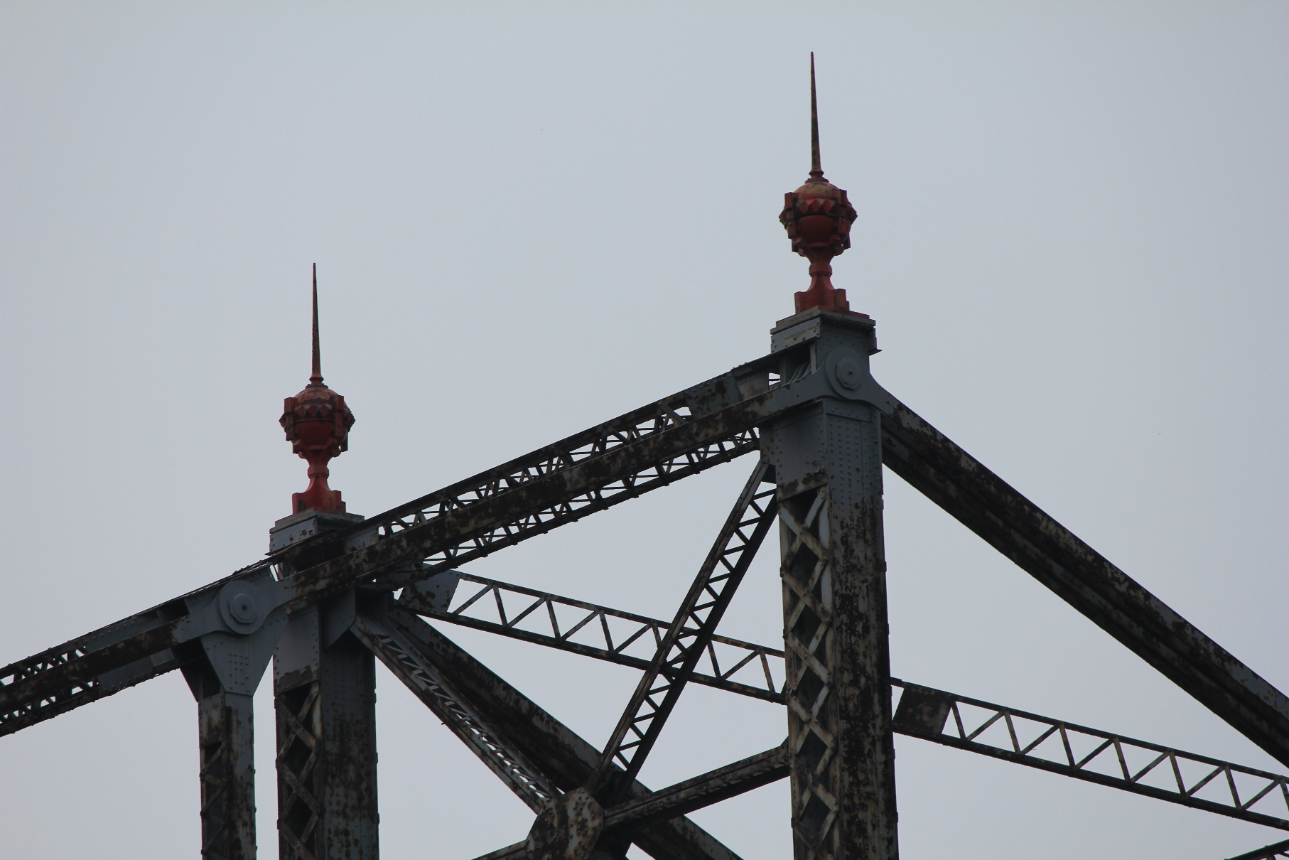
Benwood Bridge: View 1
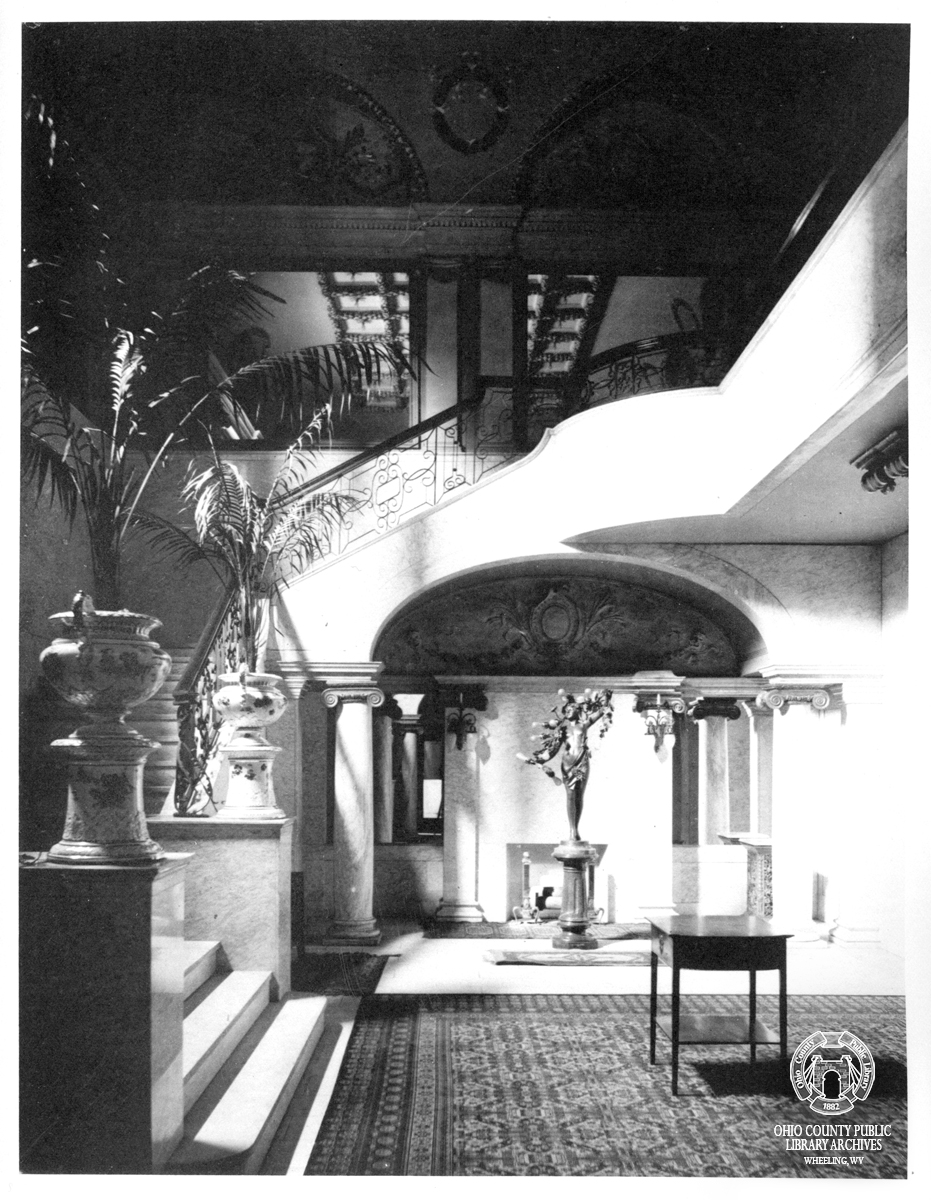
Art Work of Wheeling: View in Foyer, Court Theatre

Flood of 1913: 12th Street, Looking at Intersection of Main
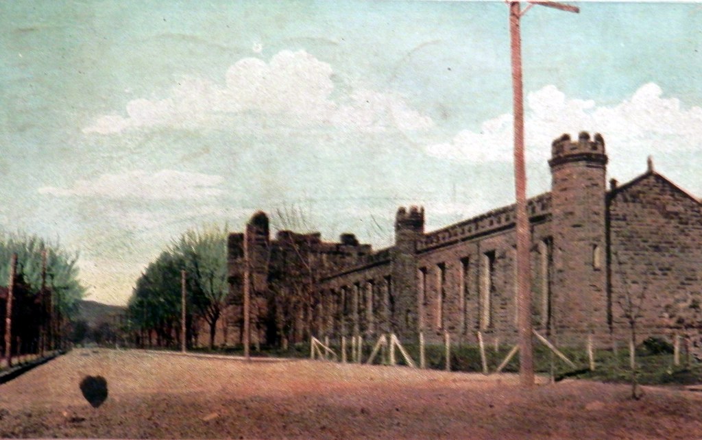
WV Penitentiary and Jefferson Avenue ca. 1910

Wheeling Island View of Wheeling WV

Postcard: Main Street
This Place Mattered - Wheeling WV
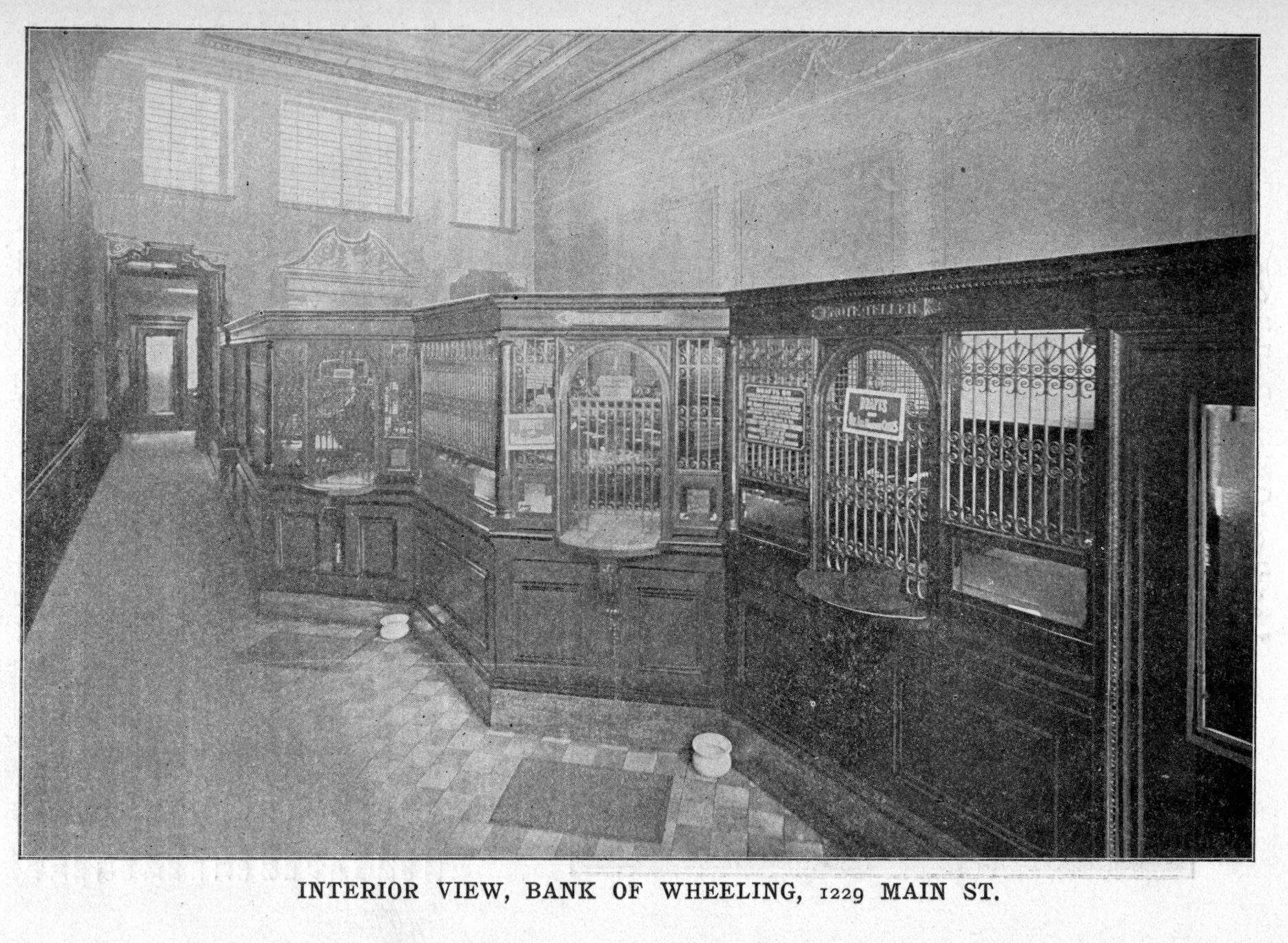
Interior View, Bank of Wheeling

Benwood Bridge: View 4
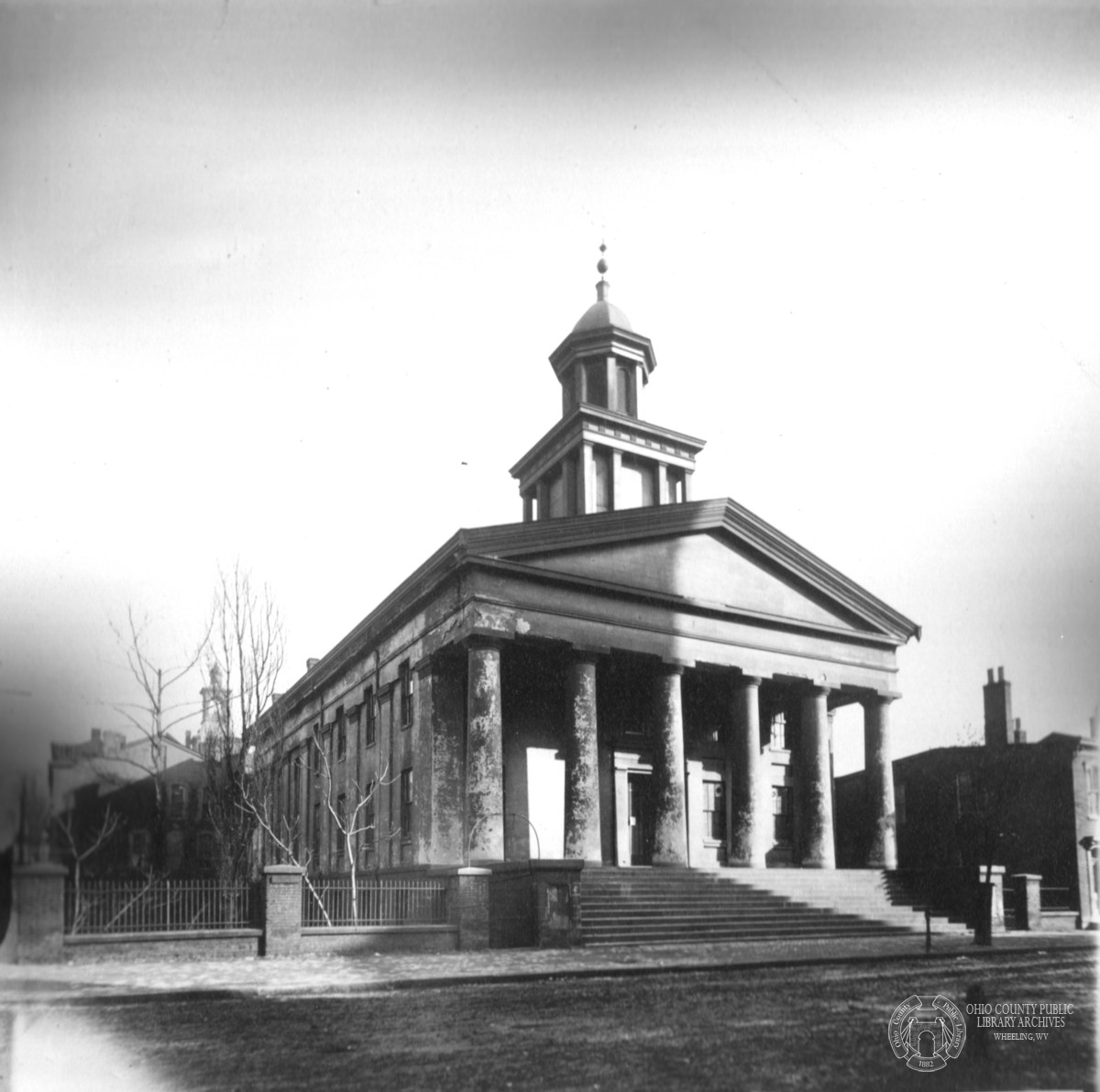
Old Court House, 1888

Flood of 1913: Market Street at 14th

Landscape #128
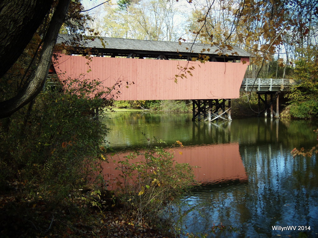
Shaeffer Campbell Covered Bridge on College Pond

Light through the Darkness

Ohio Sunrise

A small section along US 250 in East Central Ohio near Wheeling, WV is called Sunset Heights. This image from November 10, 2014 shows why exactly that is a good name for it! Taken with a #Sony RX100 III. #sunset #Ohio #sky #clouds
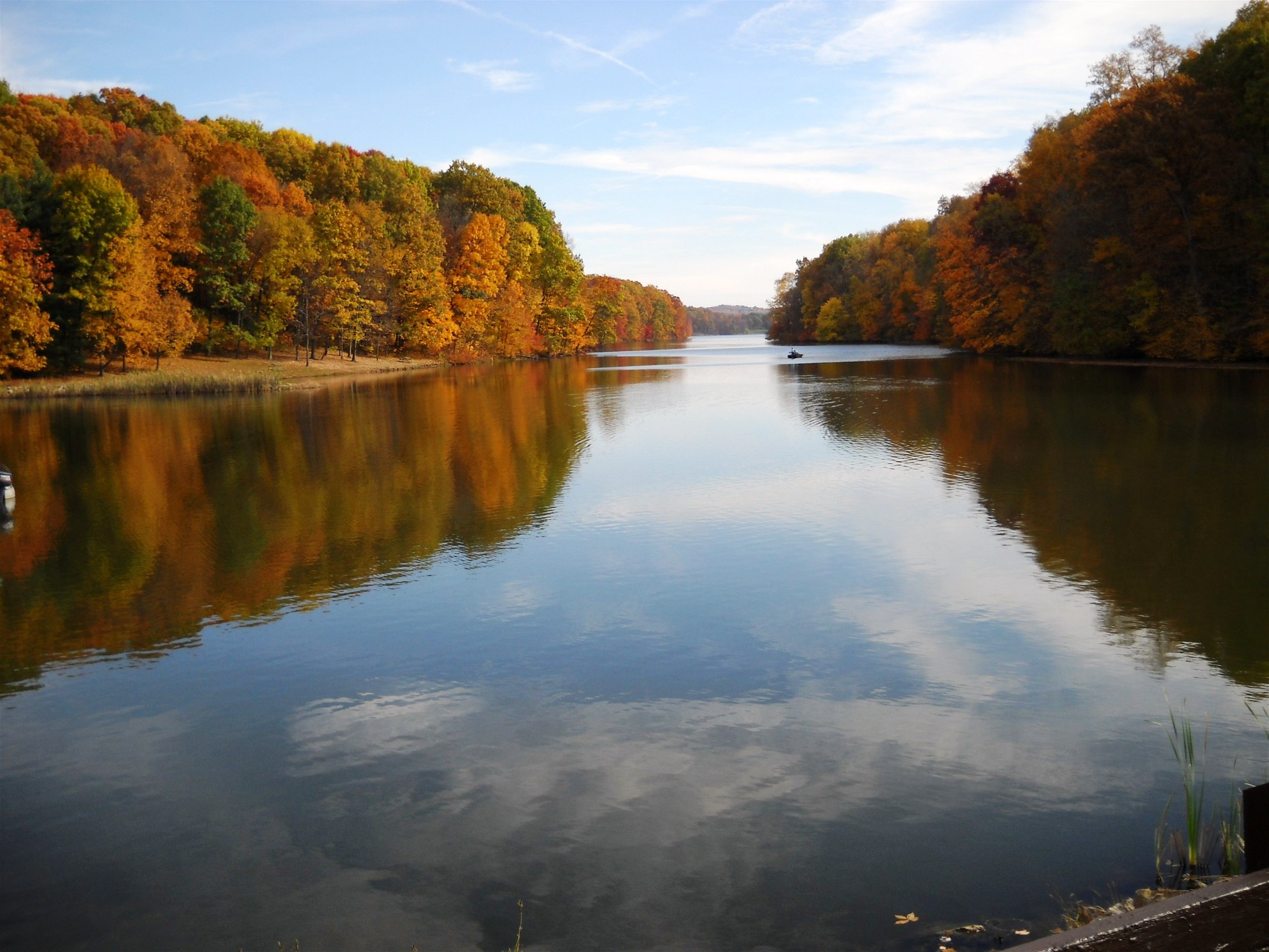
Barkcamp State Park Autumn

Deer Herd Feeding In The Snow

Winter Icicles
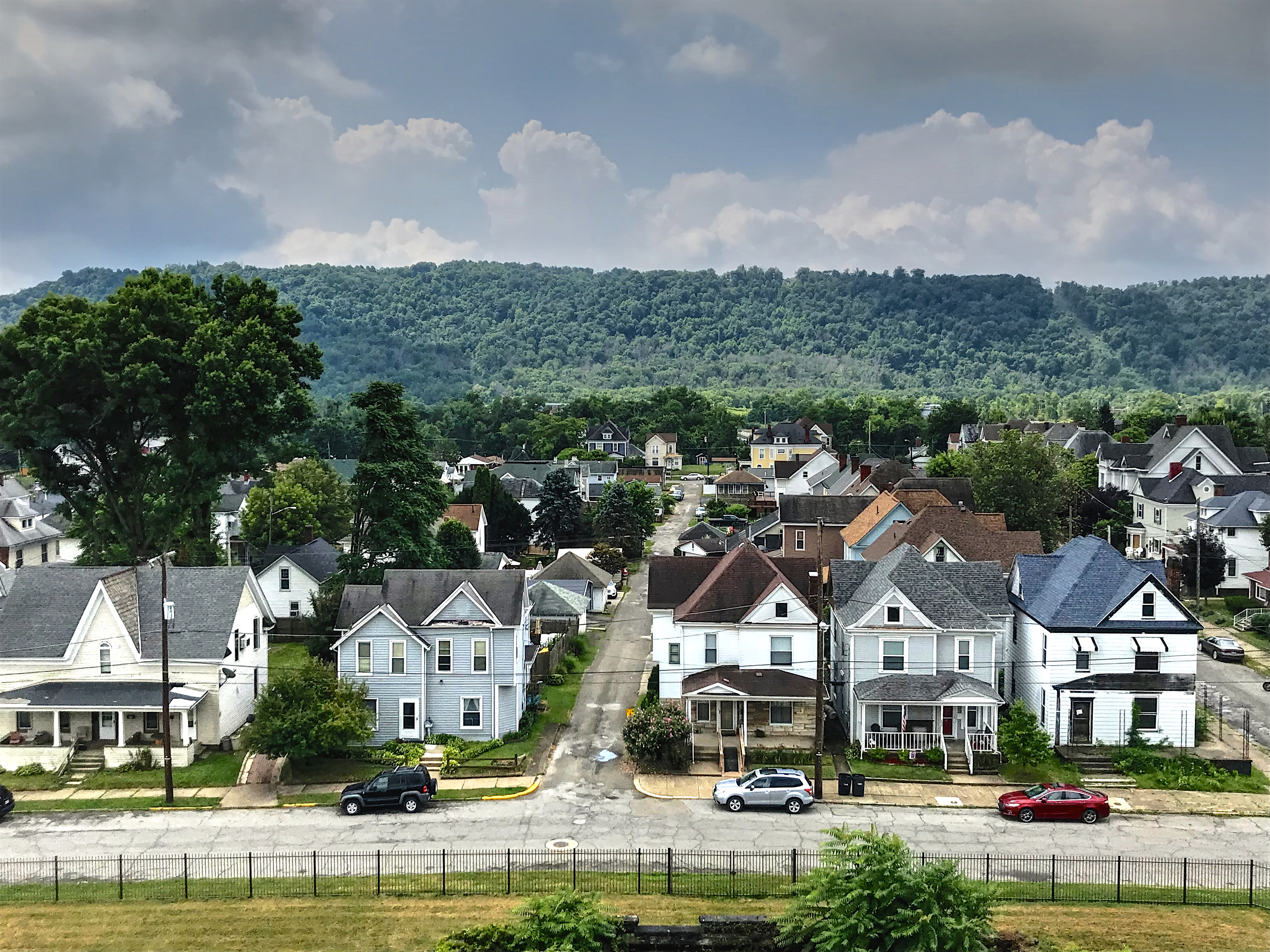
A Residential Neighborhood

Bridgeport Bridge

Wheeling Suspension Bridge
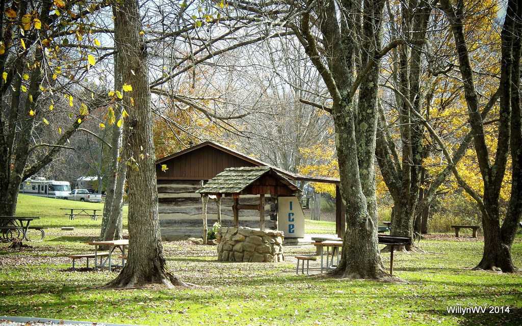
Barkcamp State Park
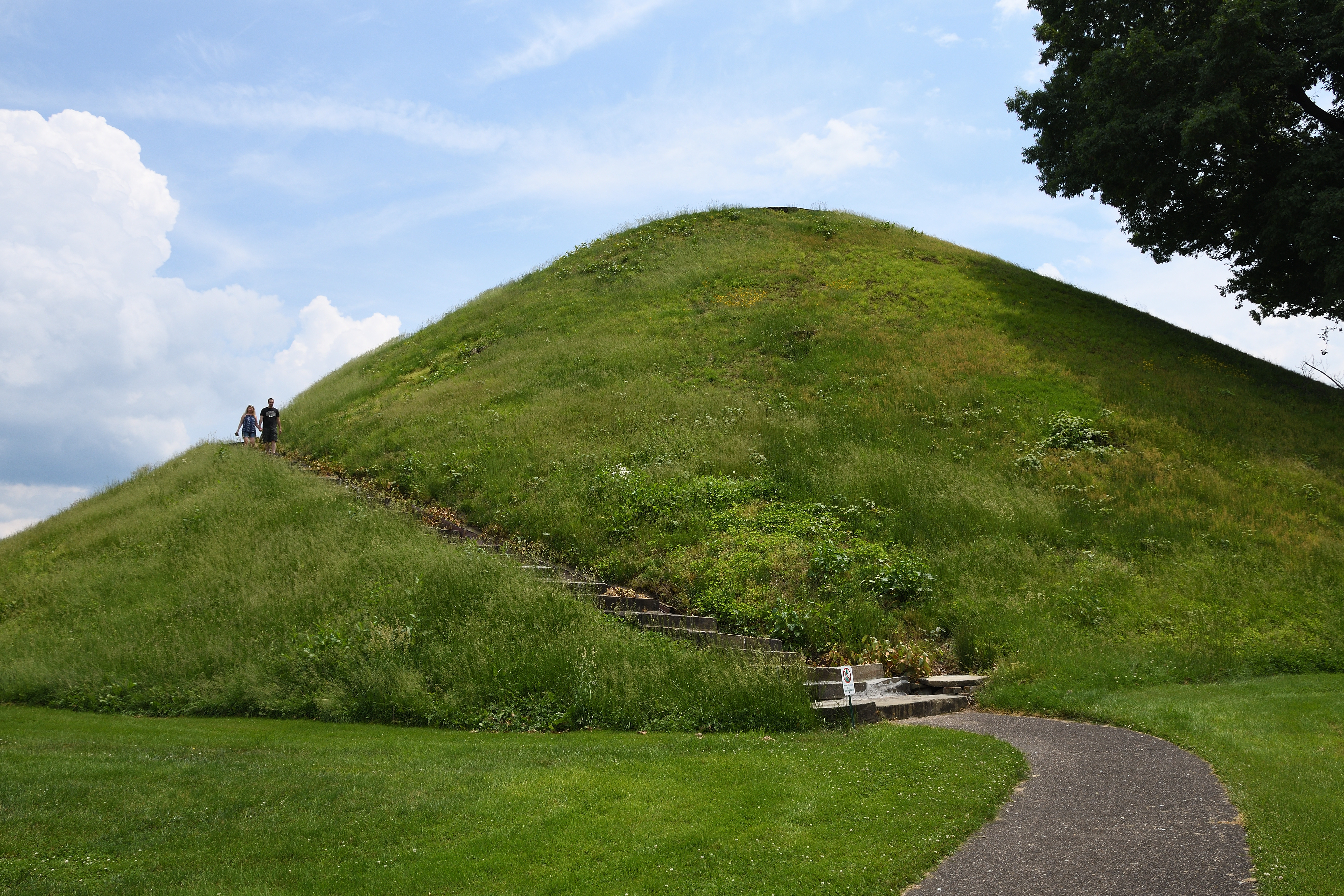
The Mound at the Grave Creek Mound Archaeological Complex

Ohio ~ Belmont
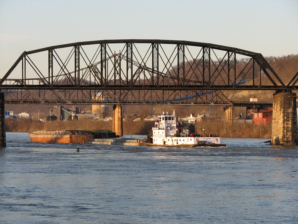
Towboat 2010 Jane G. Huffman

The Guardian

The Mound at the Grave Creek Mound Archaeological Complex
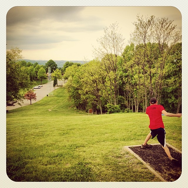
#WVDiscGolf #DiscGolf #BlackCourse

#1BlackCourse #DiscGolfFarm @WVDGA #WVDiscGolf #DiscGolf

#DiscGolf #JohnnySias Championship #18BlackCourse

#DGFBlackCourse #DiscGolf
Topographic Map of W Main St, St Clairsville, OH, USA
Find elevation by address:

Places near W Main St, St Clairsville, OH, USA:
49393 Glencoe Whitney Rd
Belmont County
Jacobsburg Key Rd, Jacobsburg, OH, USA
Jacobsburg
Main St, Jacobsburg, OH, USA
66702 Anna Dr
Richland Township
116 Taylor Ln
51130 National Rd E
Smith Township
Belmont Warnock Rd, Belmont, OH, USA
Main St, St Clairsville, OH, USA
65421 Barkcamp Park Rd
Belmont
Union Township
Main St, Morristown, OH, USA
Morristown
High St, Barnesville, OH, USA
Tacoma Rd, Barnesville, OH, USA
Hendrysburg
Recent Searches:
- Elevation of Clifton Down, Clifton, Bristol, City of Bristol, England, BS8 3HU, United Kingdom
- Elevation map of Auvergne-Rhône-Alpes, France
- Elevation map of Upper Savoy, Auvergne-Rhône-Alpes, France
- Elevation of Chamonix-Mont-Blanc, Upper Savoy, Auvergne-Rhône-Alpes, France
- Elevation of 908, Northwood Drive, Bridge Field, Chesapeake, Virginia, 23322, USA
- Elevation map of Nagano Prefecture, Japan
- Elevation of 587, Bascule Drive, Oakdale, Stanislaus County, California, 95361, USA
- Elevation of Stadion Wankdorf, Sempachstrasse, Breitfeld, Bern, Bern-Mittelland administrative district, Bern, 3014, Switzerland
- Elevation of Z024, 76, Emil-von-Behring-Straße, Marbach, Marburg, Landkreis Marburg-Biedenkopf, Hesse, 35041, Germany
- Elevation of Gaskill Road, Hunts Cross, Liverpool, England, L24 9PH, United Kingdom
- Elevation of Speke, Liverpool, England, L24 9HD, United Kingdom
- Elevation of Seqirus, 475, Green Oaks Parkway, Holly Springs, Wake County, North Carolina, 27540, USA
- Elevation of Pasing, Munich, Bavaria, 81241, Germany
- Elevation of 24, Auburn Bay Crescent SE, Auburn Bay, Calgary, Alberta, T3M 0A6, Canada
- Elevation of Denver, 2314, Arapahoe Street, Five Points, Denver, Colorado, 80205, USA
- Elevation of Community of the Beatitudes, 2924, West 43rd Avenue, Sunnyside, Denver, Colorado, 80211, USA
- Elevation map of Litang County, Sichuan, China
- Elevation map of Madoi County, Qinghai, China
- Elevation of 3314, Ohio State Route 114, Payne, Paulding County, Ohio, 45880, USA
- Elevation of Sarahills Drive, Saratoga, Santa Clara County, California, 95070, USA