Elevation of Richland Township, OH, USA
Location: United States > Ohio > Belmont County >
Longitude: -80.920773
Latitude: 40.0546742
Elevation: 385m / 1263feet
Barometric Pressure: 97KPa
Elevation Map:
Satellite Map:
Related Photos:
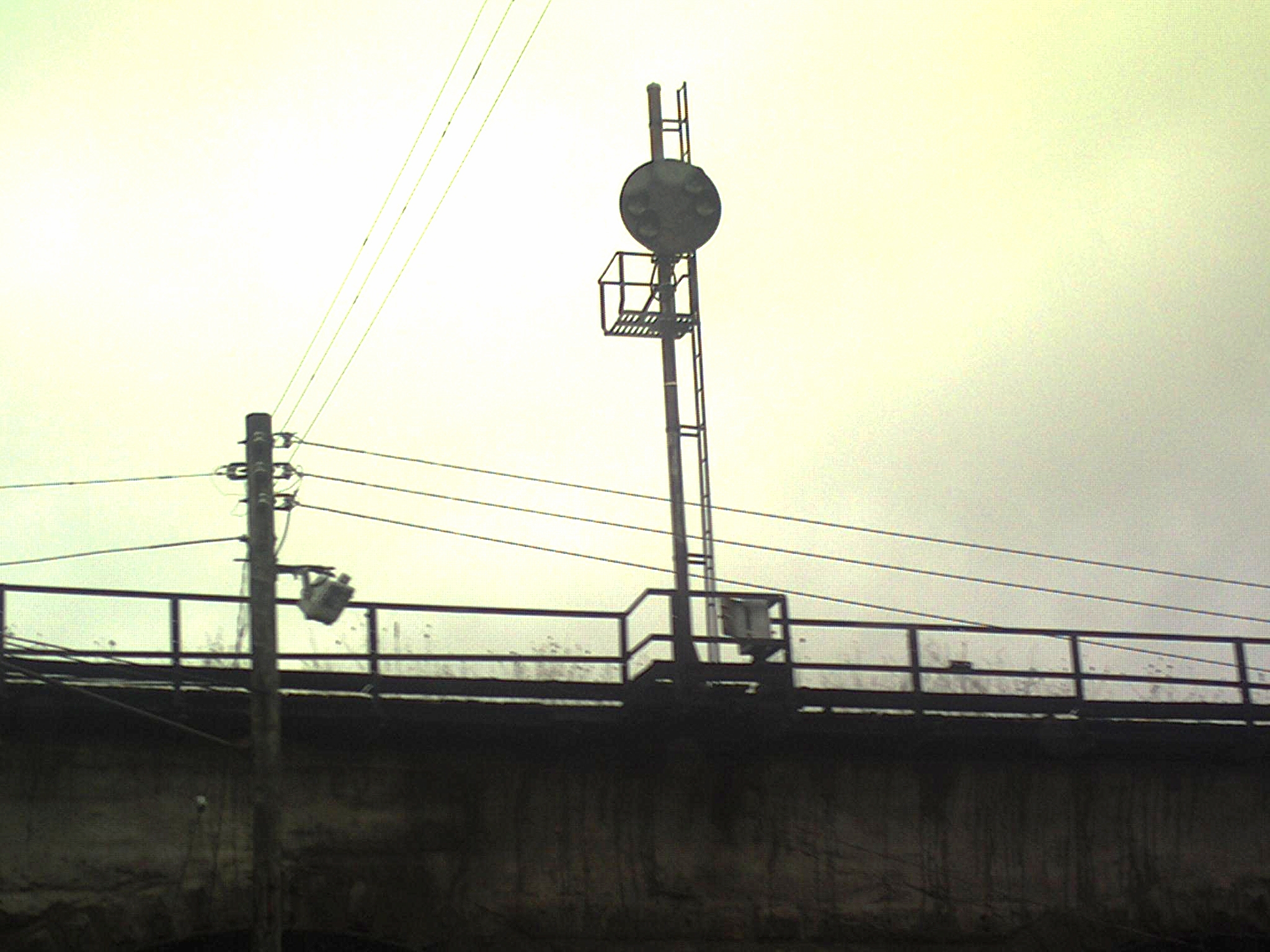
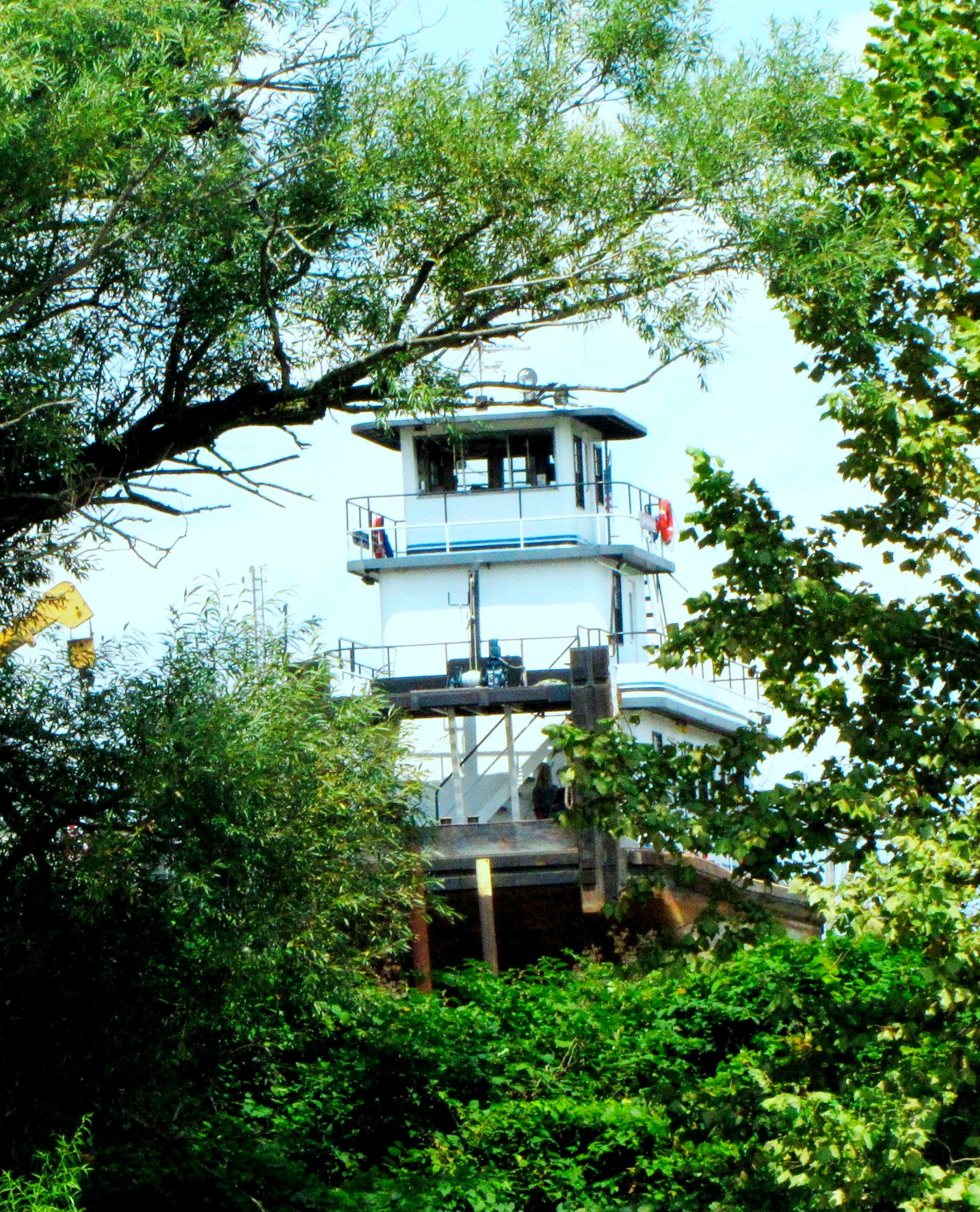
Abandoned B&O Railroad Signal, Bellaire, OH

View from the parking lot of the Ohio Valley.

Postcard: Scene at Ohio County Fair, Wheeling W. Va.
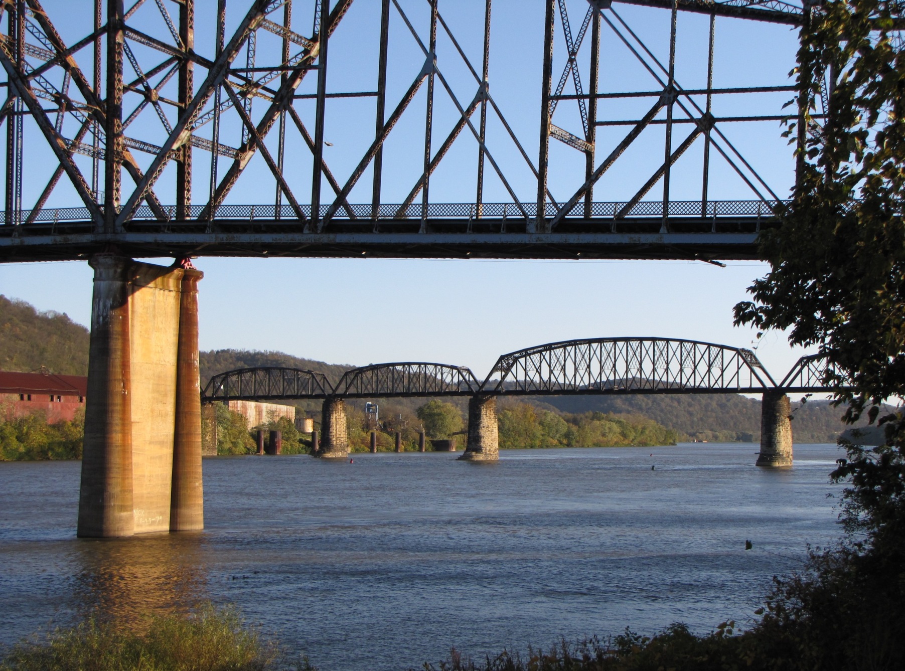
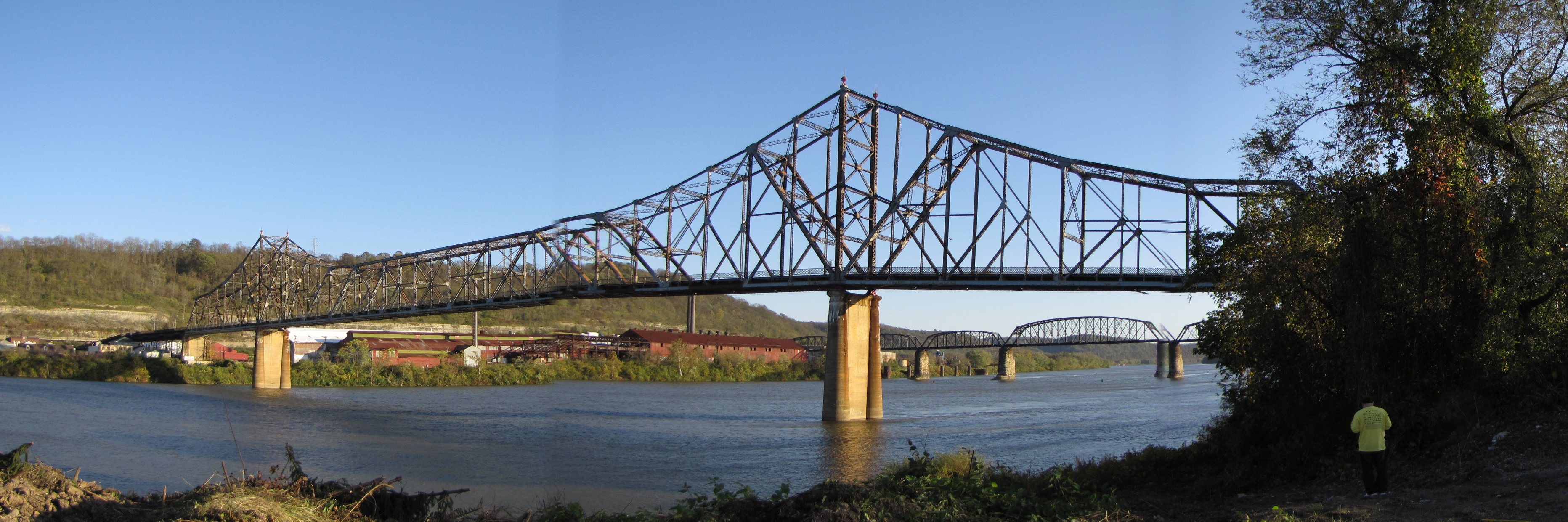
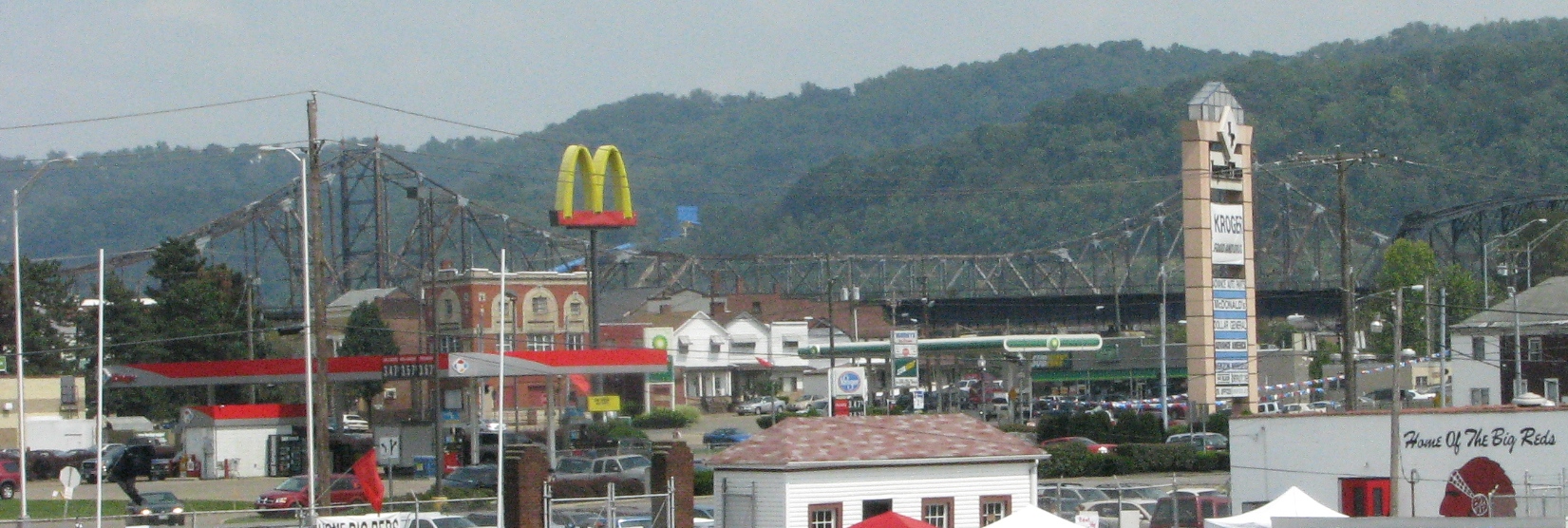
Bellaire Bridge Ohio River

North Wheeling Island

PBR Comes to Wheeling
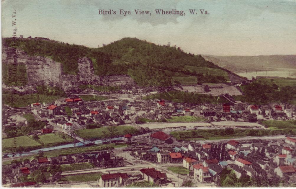
Bird's Eye View, Wheeling, W. Va.
Bridgeport Support
Bellaire Ohio Marina
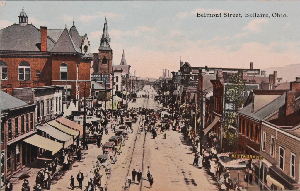
Belmont St Birdseye View
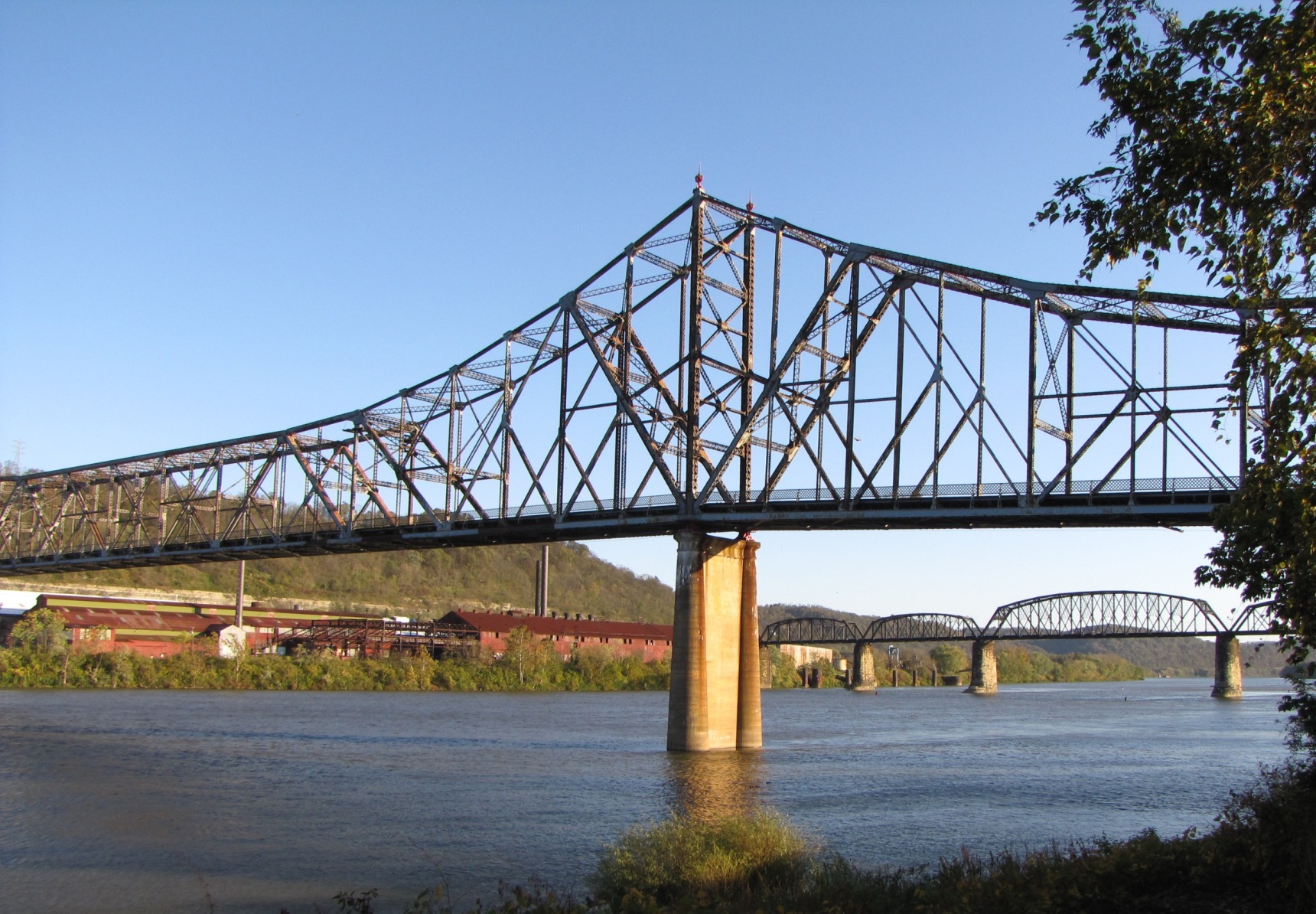
Bellaire Bridge Ohio River
Bellaire Bridge Ohio River

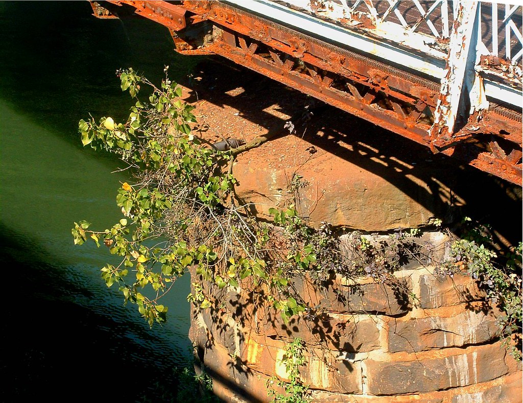
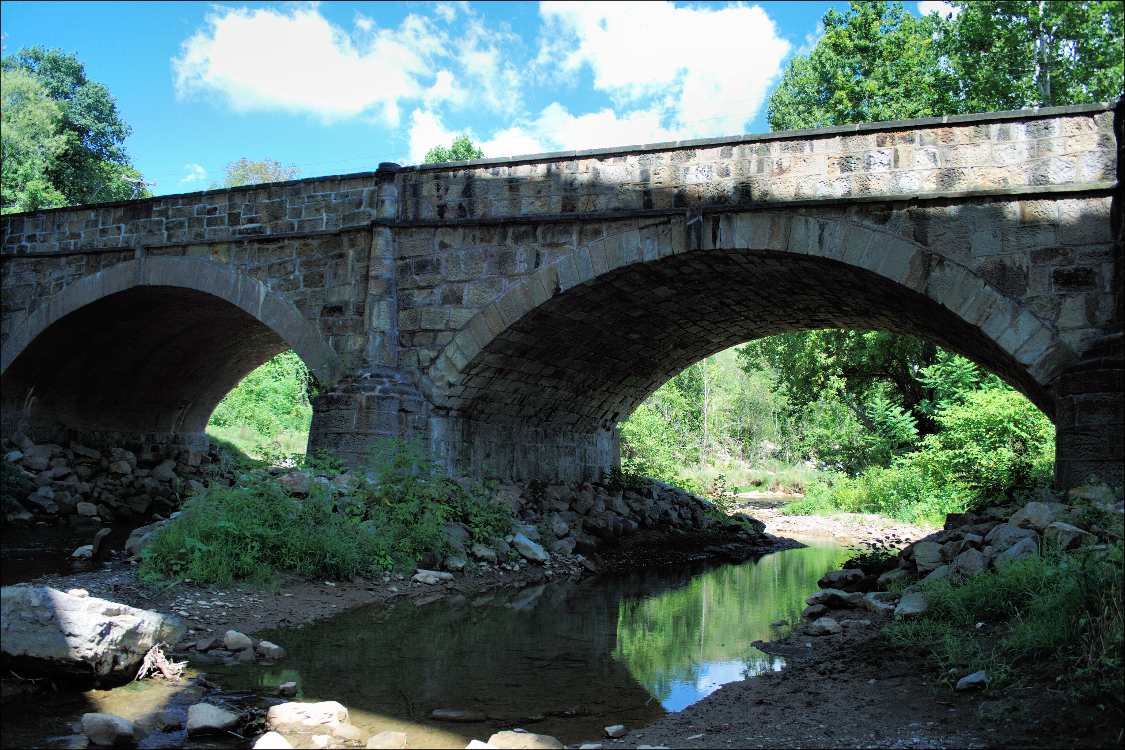
Bellaire view thru Stone Bridge May 30 2009
Blaine Bridge
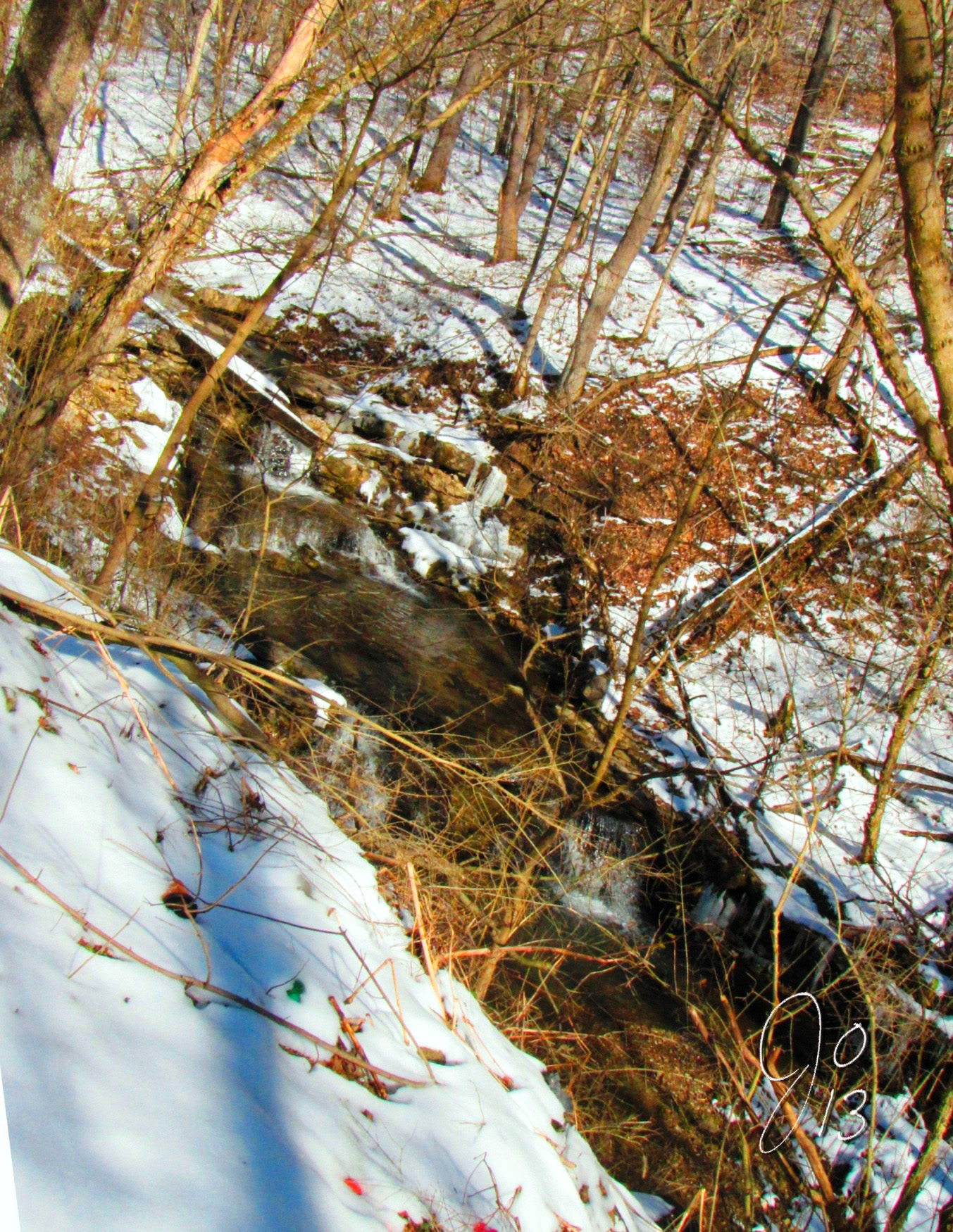
Bellaire Ohio Indian Run Falls

Belmont County Courthouse Sunset
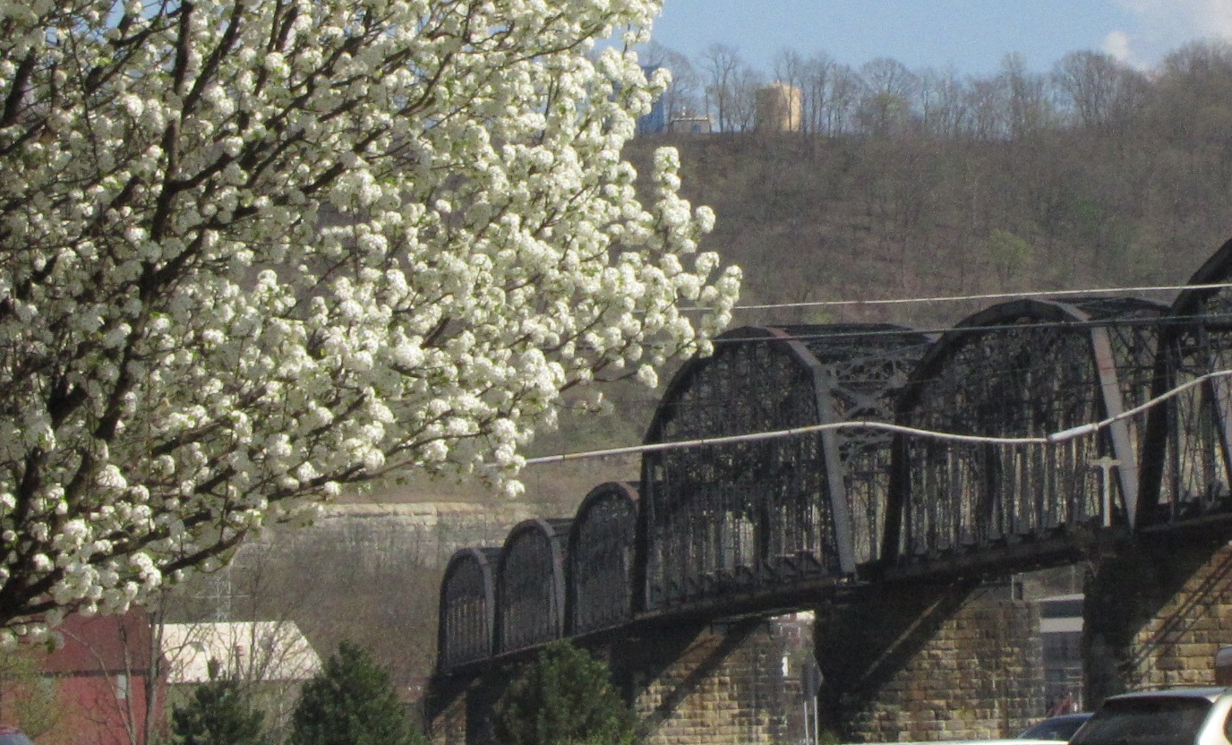
Bellaire OH Spring - Train Bridge
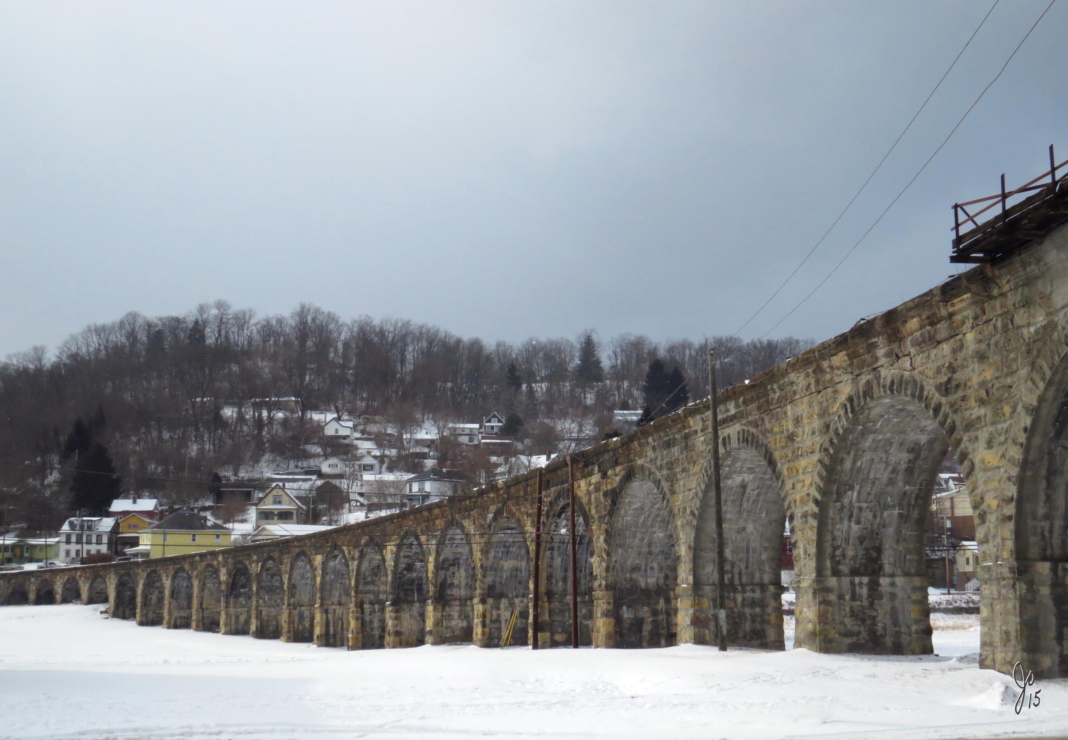
Bellaire Ohio Snow
Bellaire Bridge Ohio River
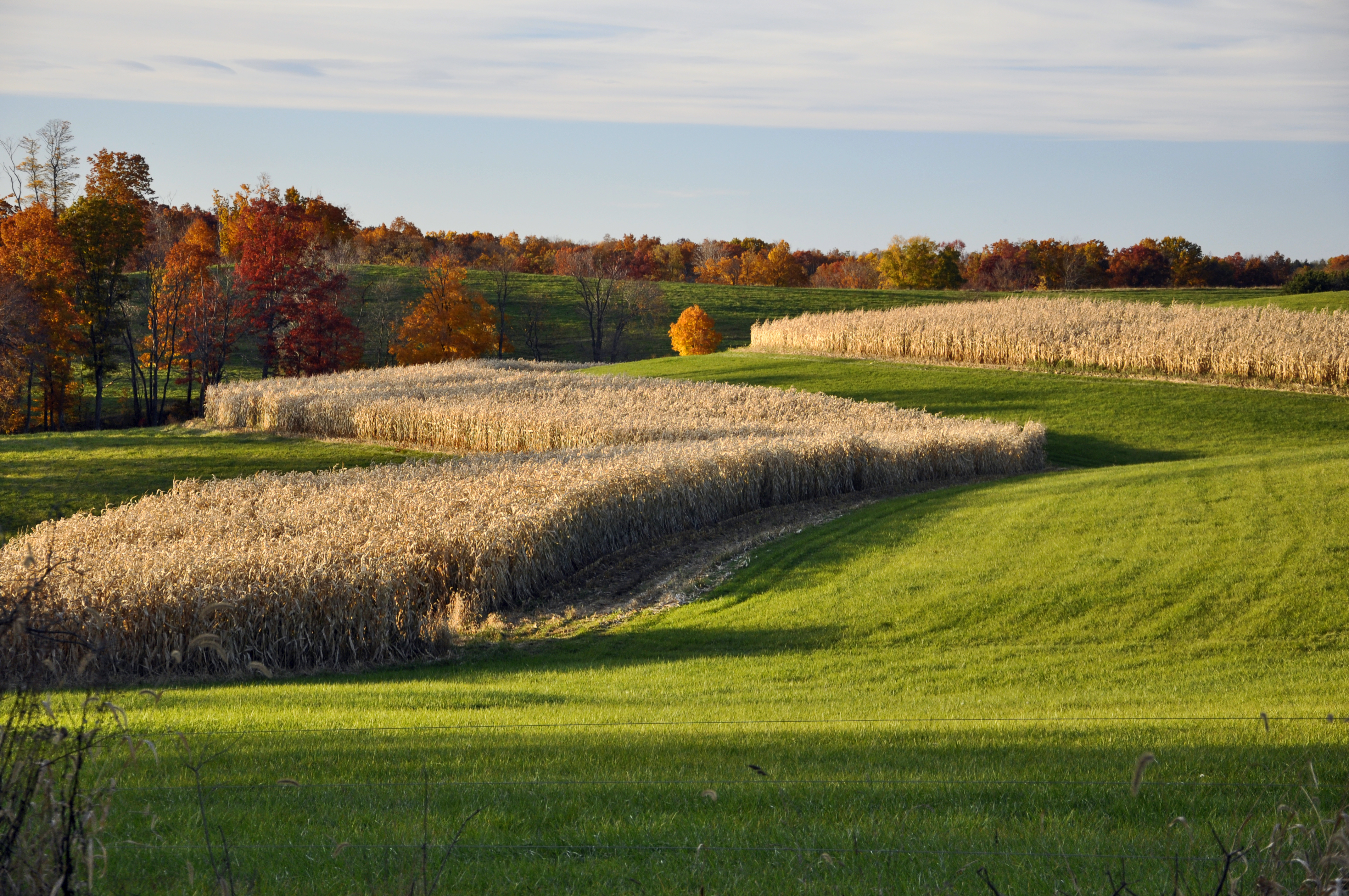
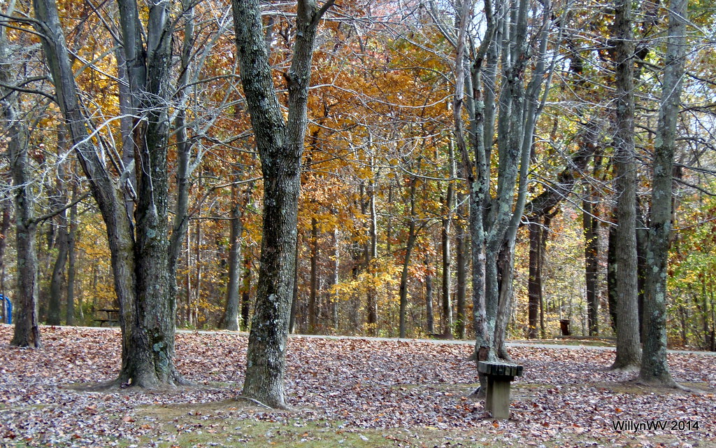
Bellaire Ohio Autumn

Bellaire Bridge Ohio River

The other shoe

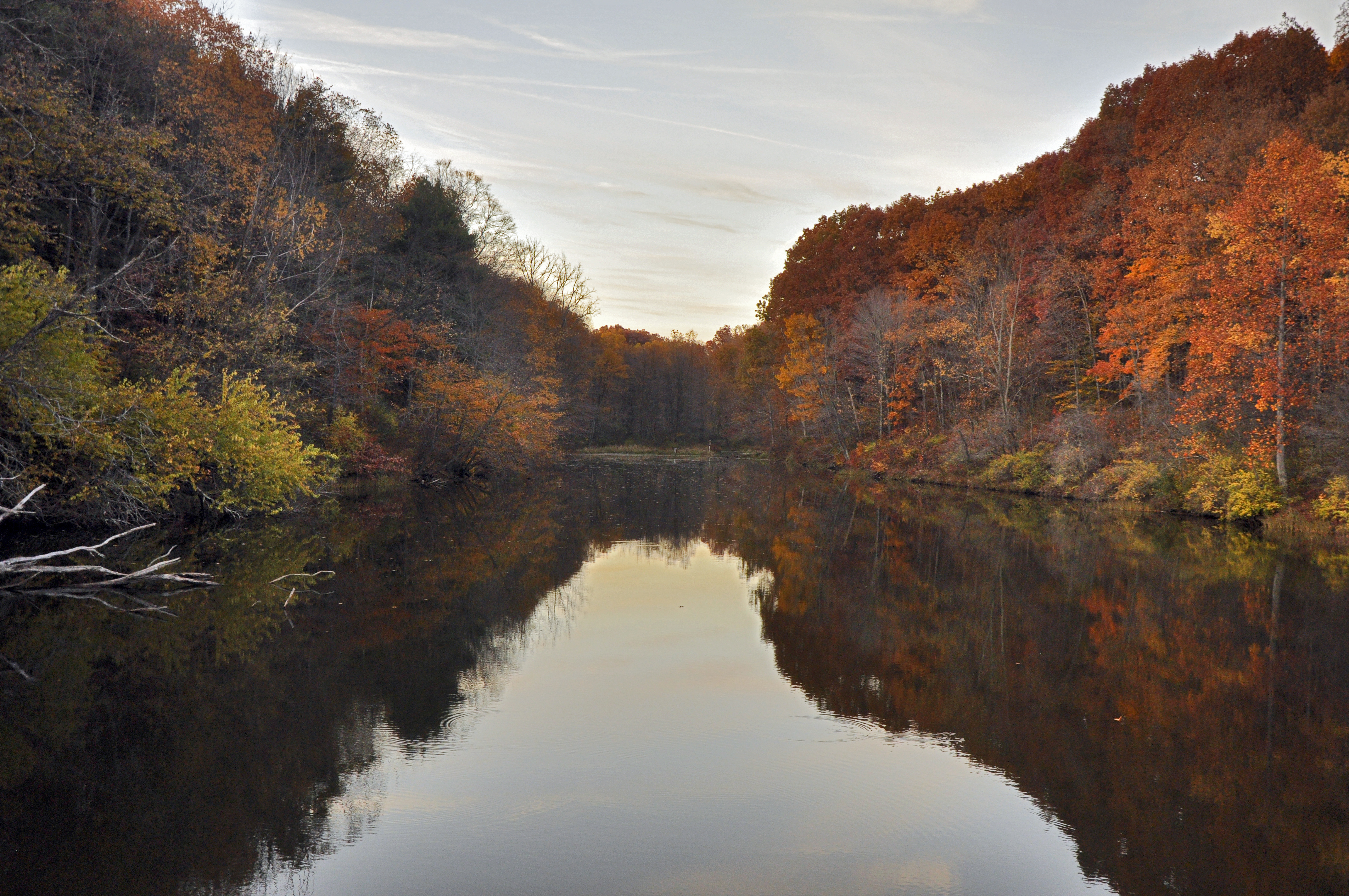
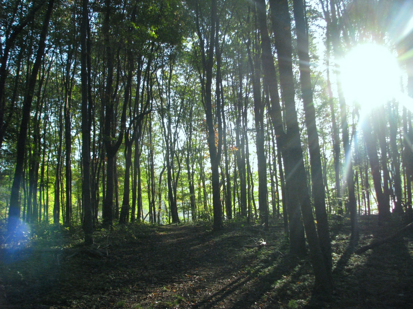
Nature Walk
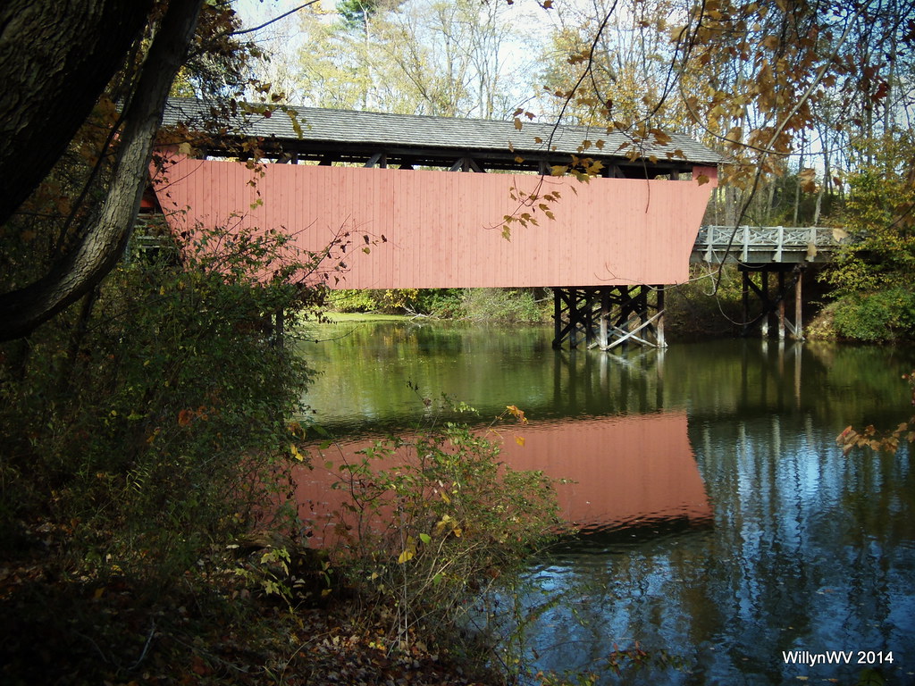
Shaeffer Campbell Covered Bridge on College Pond

Dreams come true
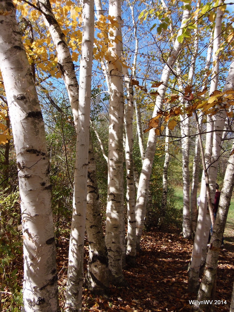
Happy Autumn
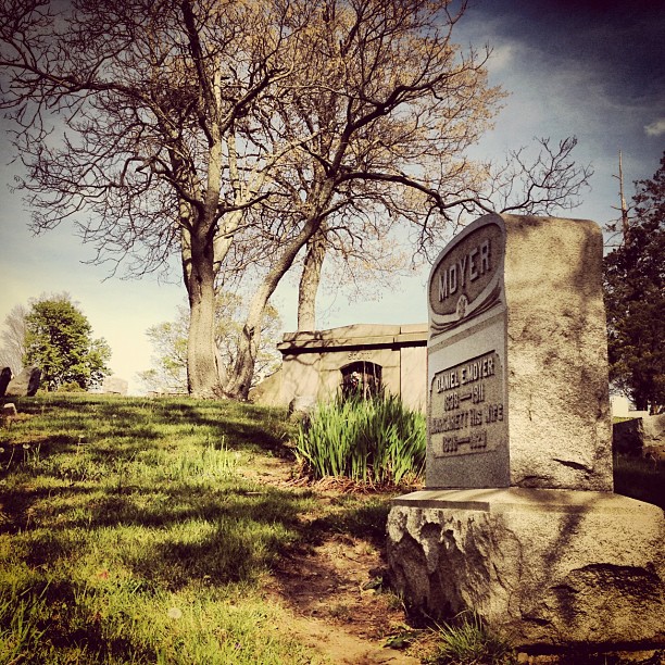
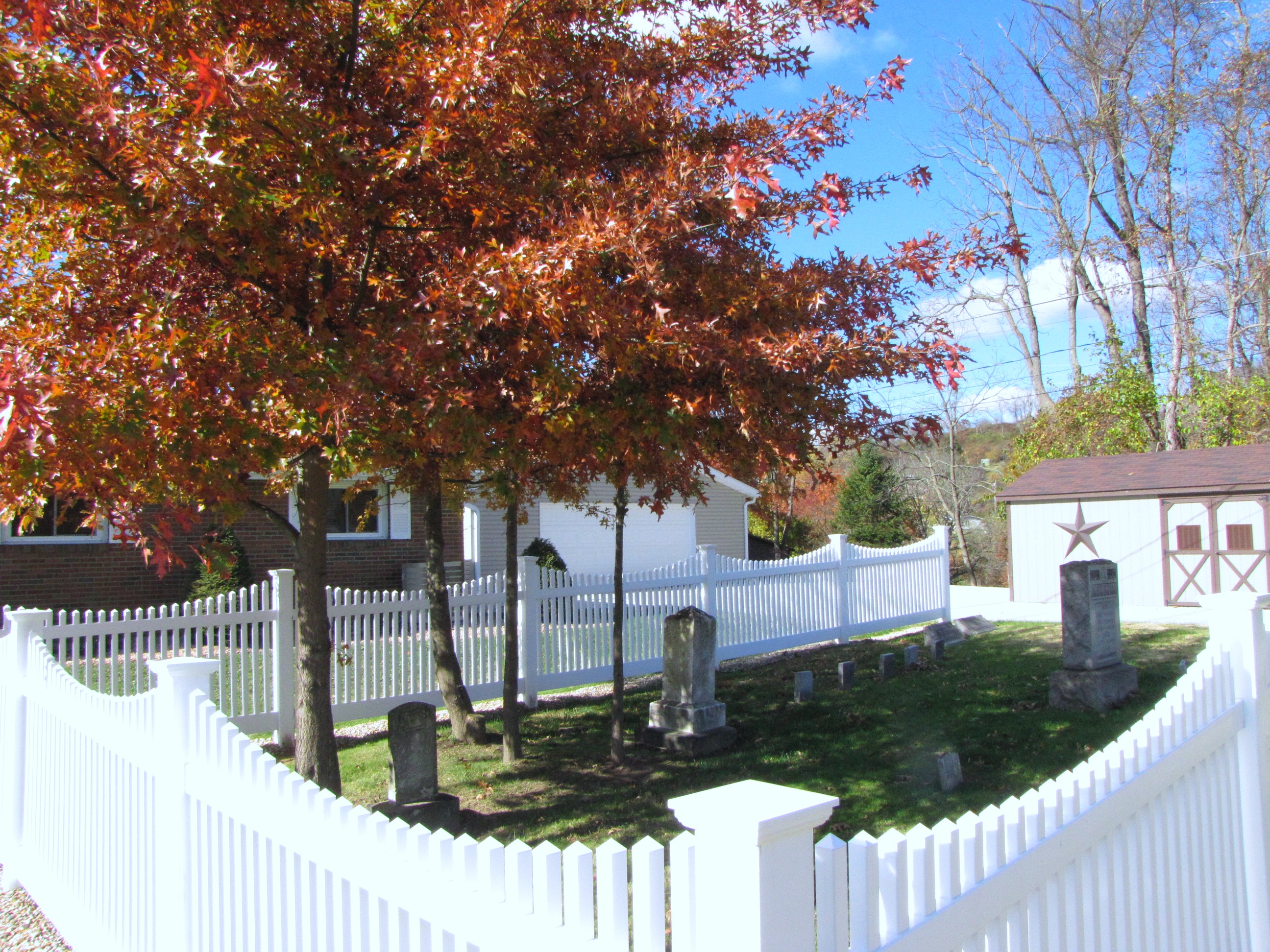
#iphone #ohio #landscape #cemetery

Happy Autumn

Happy Autumn
Barkcamp State Park

Cloudy Dusk

Ohio ~ Belmont

Happy Autumn
Happy Autumn

Barkcamp State Park Autumn
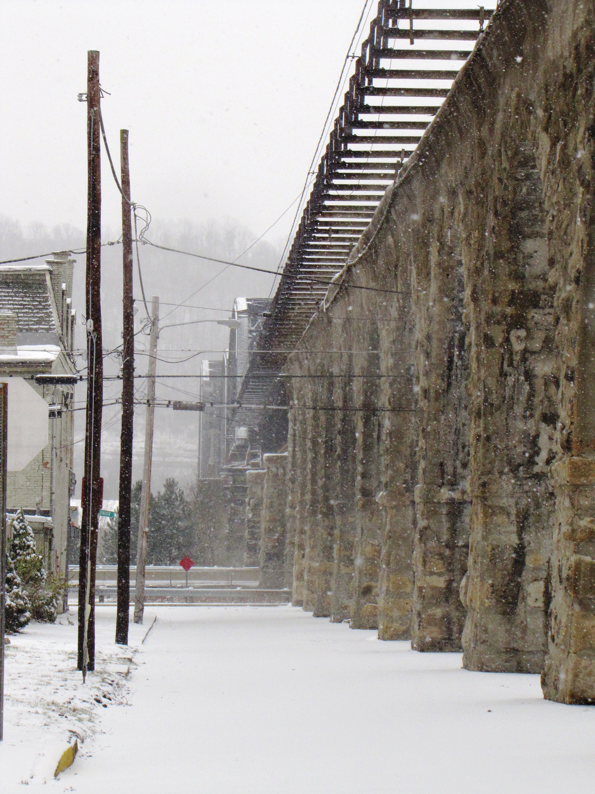
Bellaire Stone Bridge Snow
Barkcamp State Park Autumn
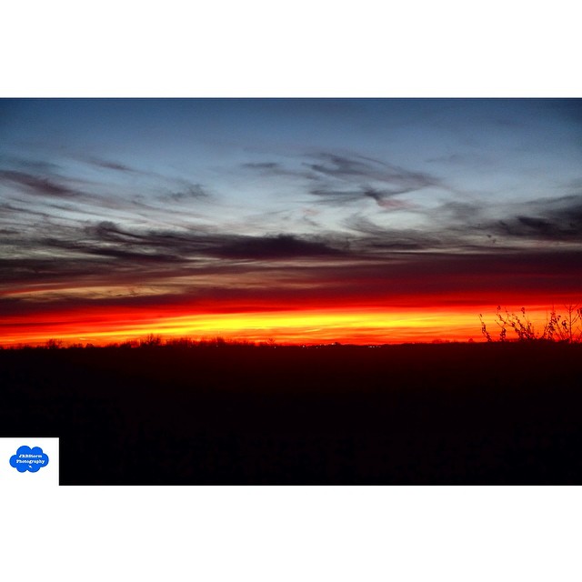
A small section along US 250 in East Central Ohio near Wheeling, WV is called Sunset Heights. This image from November 10, 2014 shows why exactly that is a good name for it! Taken with a #Sony RX100 III. #sunset #Ohio #sky #clouds

Race Track at State Fair Grounds
Barkcamp State Park
Shaeffer Campbell Covered Bridge on College Pond
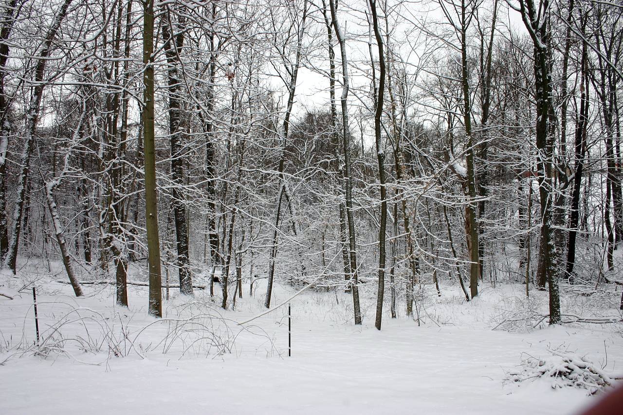
Snowy Trees
Topographic Map of Richland Township, OH, USA
Find elevation by address:

Places in Richland Township, OH, USA:
Places near Richland Township, OH, USA:
116 Taylor Ln
Belmont County
66702 Anna Dr
49393 Glencoe Whitney Rd
101 W Main St
51130 National Rd E
Belmont Warnock Rd, Belmont, OH, USA
Main St, St Clairsville, OH, USA
Smith Township
Jacobsburg
Main St, Jacobsburg, OH, USA
Jacobsburg Key Rd, Jacobsburg, OH, USA
65421 Barkcamp Park Rd
Belmont
Union Township
Main St, Morristown, OH, USA
Morristown
High St, Barnesville, OH, USA
Tacoma Rd, Barnesville, OH, USA
Hendrysburg
Recent Searches:
- Elevation of Corso Fratelli Cairoli, 35, Macerata MC, Italy
- Elevation of Tallevast Rd, Sarasota, FL, USA
- Elevation of 4th St E, Sonoma, CA, USA
- Elevation of Black Hollow Rd, Pennsdale, PA, USA
- Elevation of Oakland Ave, Williamsport, PA, USA
- Elevation of Pedrógão Grande, Portugal
- Elevation of Klee Dr, Martinsburg, WV, USA
- Elevation of Via Roma, Pieranica CR, Italy
- Elevation of Tavkvetili Mountain, Georgia
- Elevation of Hartfords Bluff Cir, Mt Pleasant, SC, USA