Elevation of W Lakeshore Dr-57, Columbia City, IN, USA
Location: United States > Indiana > Noble County > Noble Township >
Longitude: -85.498070
Latitude: 41.2726334
Elevation: 275m / 902feet
Barometric Pressure: 98KPa
Elevation Map:
Satellite Map:
Related Photos:

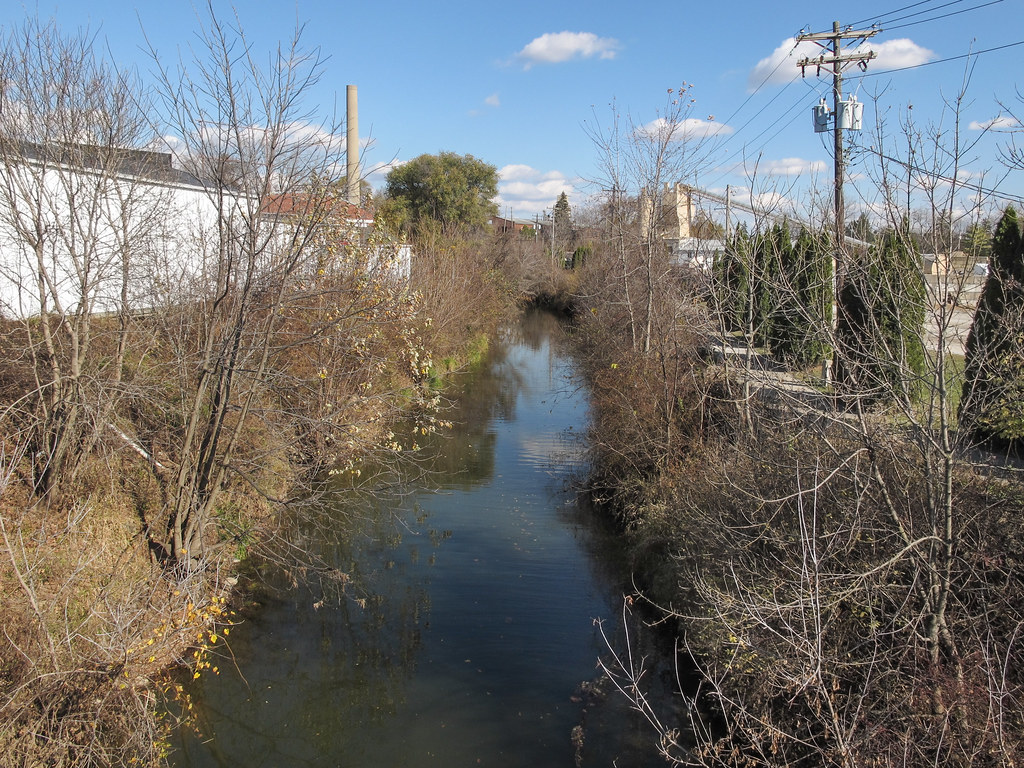
2000 05-12 1208-2 CSX SD50-8626 W/B Q-500 West of Albion, IN

Indiana Farm at 5:38 pm

A golden view

Columbia City Jail Detail

Yellow on purple

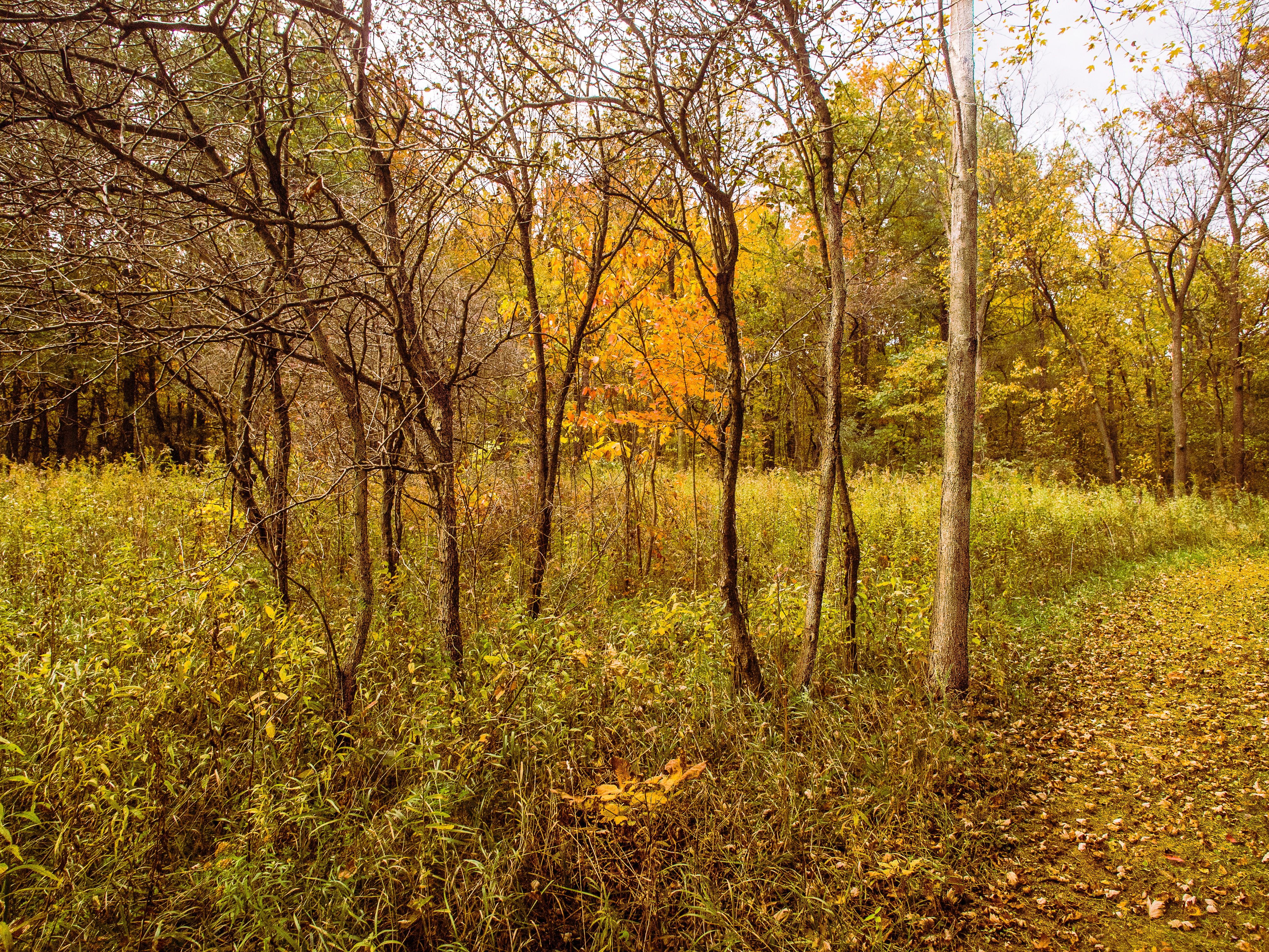
Spring Repose
The Blue River is my favorite river in the entire Eel River drainage basin. You know what I'm talking about.

Mown grid. This is in Indiana.
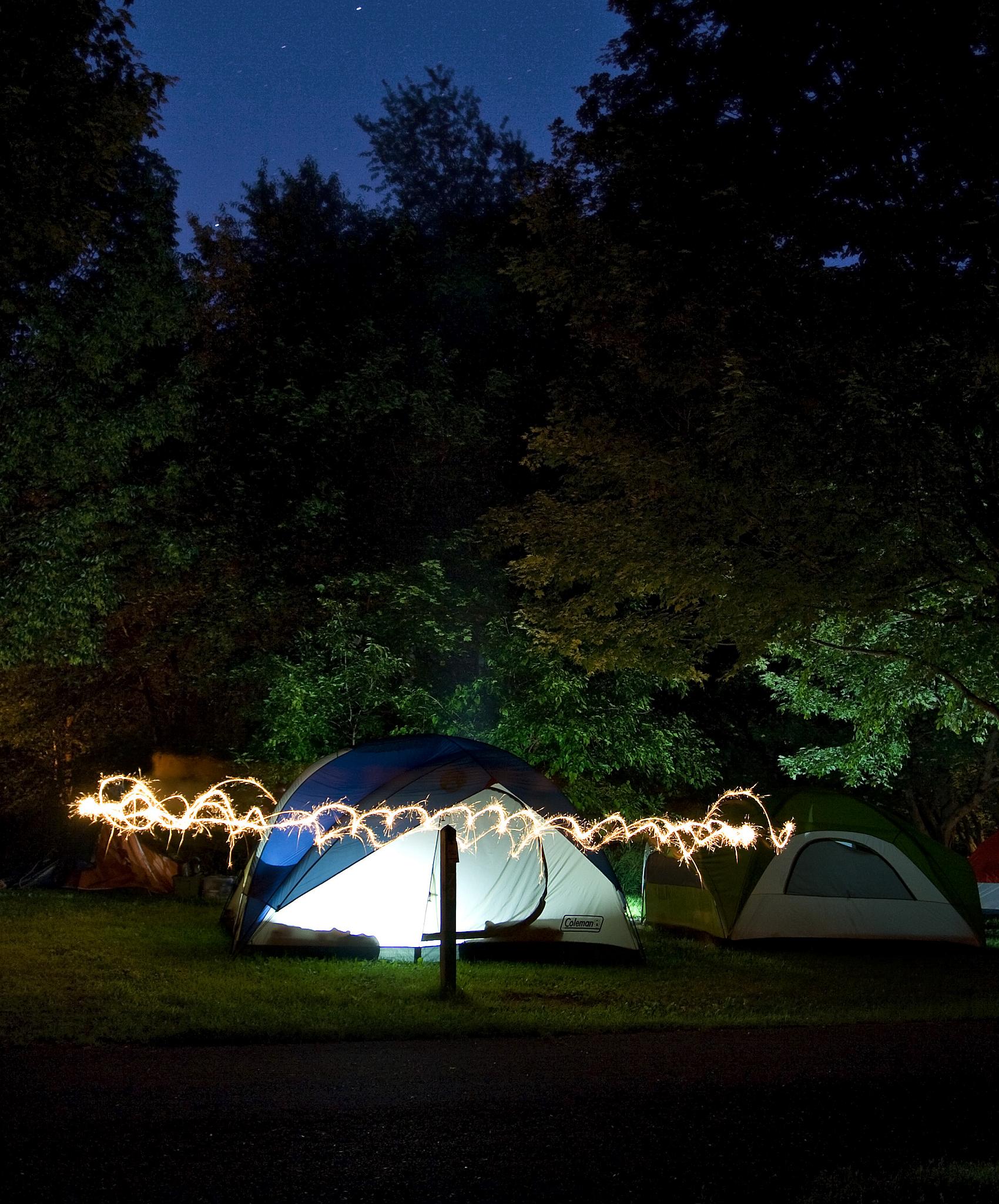
Killer Lightning Bug

Dogs Eye View

The view from here.

Bent with the Wind

Kesling Wetland and Farmstead

Sky, Sun and Field

Golden Pathway

Bear Lake Prairie on Trail K

Kesling Wetland

Autumn Harvest
Leaves by the Hundreds Came

Prairie Grass

Up the Hilltop

Light, Shadow, Color in the Woods

Walking Bridge Trail K

Road to Fairy Land

The Meadows

Kesling Wetland at Merry Lea Environmental Center

Black Pond
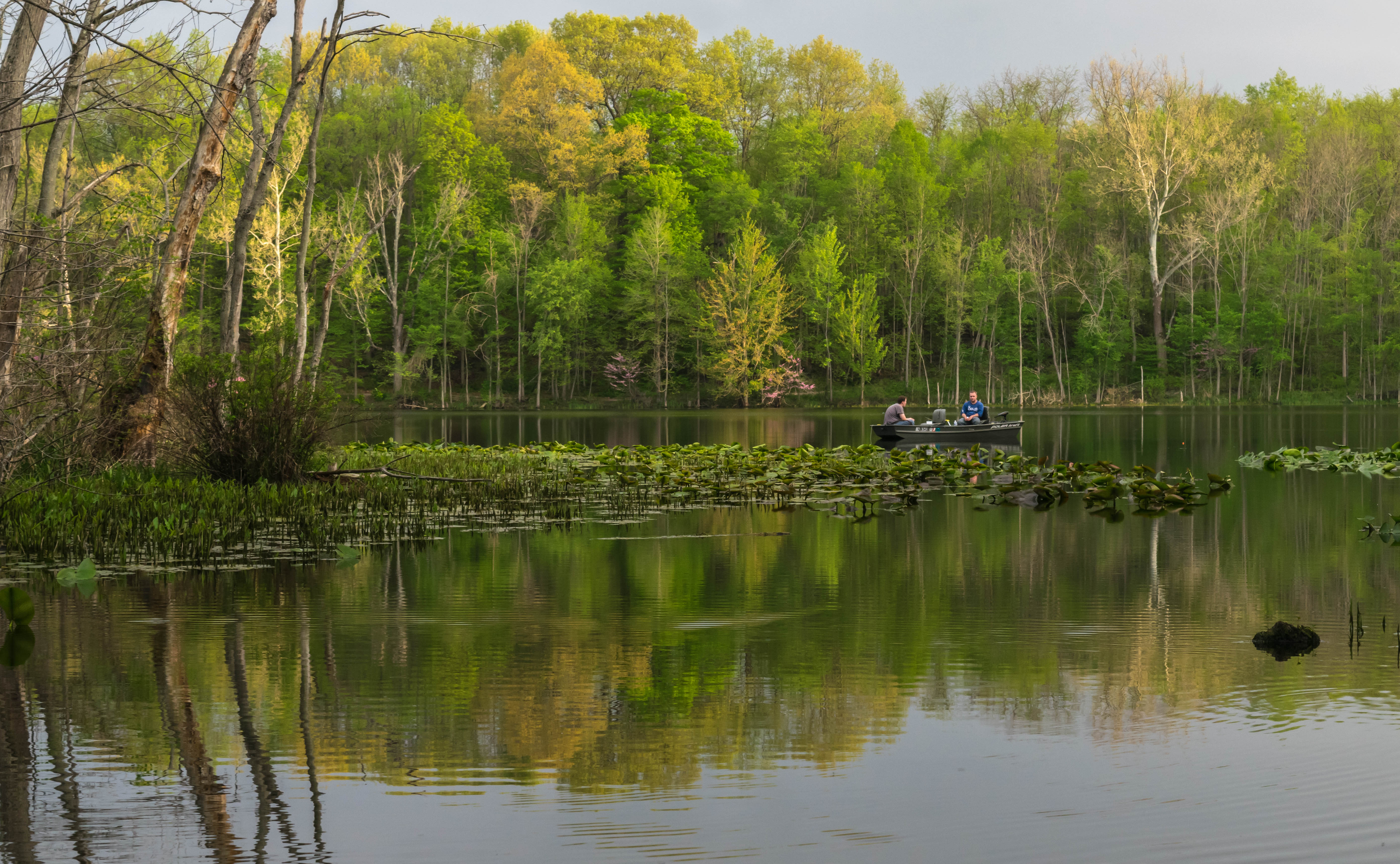
Gone fishing

Light Snow

Autumn at Kesling Wetland

The Place

Luckey's Lane
Topographic Map of W Lakeshore Dr-57, Columbia City, IN, USA
Find elevation by address:

Places near W Lakeshore Dr-57, Columbia City, IN, USA:
Noble Township
US-33, Albion, IN, USA
W N-92, Columbia City, IN, USA
Etna-troy Township
N W, Columbia City, IN, USA
N Main St, Columbia City, IN, USA
Columbia City
Columbia Township
Richland Township
Larwill
Center St, Larwill, IN, USA
4380 W 200 S
53 EMS B11 Ln, Pierceton, IN, USA
E South Barbee Dr, Pierceton, IN, USA
Tippecanoe Township
Washington Township
N Barbee Rd, Warsaw, IN, USA
Pierceton
N 1st St, Pierceton, IN, USA
26 Ems B40e Ln
Recent Searches:
- Elevation of Corso Fratelli Cairoli, 35, Macerata MC, Italy
- Elevation of Tallevast Rd, Sarasota, FL, USA
- Elevation of 4th St E, Sonoma, CA, USA
- Elevation of Black Hollow Rd, Pennsdale, PA, USA
- Elevation of Oakland Ave, Williamsport, PA, USA
- Elevation of Pedrógão Grande, Portugal
- Elevation of Klee Dr, Martinsburg, WV, USA
- Elevation of Via Roma, Pieranica CR, Italy
- Elevation of Tavkvetili Mountain, Georgia
- Elevation of Hartfords Bluff Cir, Mt Pleasant, SC, USA