Elevation of Tippecanoe Township, IN, USA

Location: United States > Indiana > Kosciusko County >

Longitude: -85.705111

Latitude: 41.3012522

Elevation: 258m / 846feet

Barometric Pressure: 98KPa

Elevation Map:

elevation map of Tippecanoe Township, IN, USA
Satellite Map:

Satellite map of Tippecanoe Township, IN, USA
Related Photos:

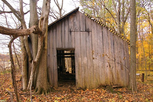
Sugar Shack, Kosciusko County, IN
fireworks reflected 5d 4thofjuly 2470mm websterlake fireworksdisplay fensterbme lakewebster lowlightphotography canon2470mm canonllens canon2470mmf28l northwebsterindiana fenstermacherphotography
4th of July Fireworks
square squareformat iphoneography instagramapp uploaded:by=instagram
View from the trainer #lonelierthangodracing
interestingness fireworks fisheye reflected 5d 4thofjuly websterlake fireworksdisplay fensterbme lakewebster primelens lowlightphotography interestingness104 i500 canonfisheye canon15mmf28 canon15mmf28fisheye northwebsterindiana fenstermacherphotography curvilinearlens explore18jul08
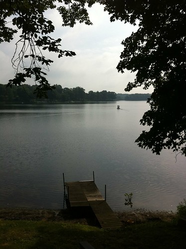
Lakeside View
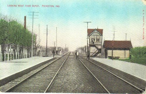
railroad piercetonindiana
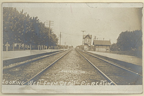
View looking west from Pierceton Depot
indiana pierceton
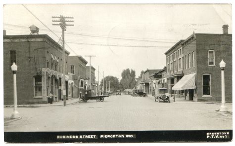
Pierceton Postcard, c. 1925
fireworks reflected 5d 4thofjuly 2470mm websterlake fireworksdisplay fensterbme lakewebster lowlightphotography canon2470mm canonllens canon2470mmf28l northwebsterindiana fenstermacherphotography
Double Shot
indiana pierceton
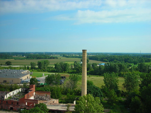
View from Pierceton Water Tower
girls stereophoto stereophotography 3d women shauna stereo shorts parallel kayla
P9065954c.jpg
Winona Lake, IN
Pier 68 View
View from the Deck
Quaker Haven Sunset
Leesburg, Indiana Pedastal Signal
usa nature ecology field barn rural landscape geotagged outdoors landscapes spring seasons farm country meadows indiana olympus scene environment biodiversity wolflake noblecounty primelens davidcornwell merryleacenterofgoshencollege olympuspenepl2 olympusmzuiko12mmf20 shewmeadows
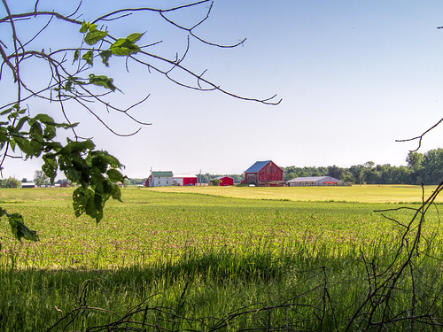
Indiana Farm at 5:38 pm
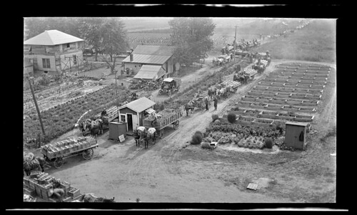
indiana canning pierceton reidmurdoch tomatofarming
PPL-003-804e_300
indiana pierceton
Pierceton Railroad tracks, c. 1915
autumn usa fall nature ecology landscape geotagged outdoors map path meadow indiana olympus location trail environment restoration biodiversity mapped noblecounty davidcornwell merryleacenterofgoshencollege olympuspenepl2 luckeyslane
Luckey's Lane of Merry Lea Center
autumn usa fall nature ecology landscape geotagged outdoors map path indiana olympus location trail environment restoration prairie biodiversity mapped wolflake noblecounty primelens trailk davidcornwell merryleacenterofgoshencollege olympuszd50mmf20 olympuspenepl2 olympusmzuiko12mmf20 bearlakeprairie
Bear Lake Prairie on Trail K
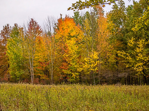
autumn usa fall nature ecology leaves forest landscape geotagged outdoors woods seasons map meadow indiana olympus location environment restoration biodiversity mapped noblecounty marysmeadow davidcornwell merryleacenterofgoshencollege olympuspenepl2 olympusmzuiko12mmf20
Leaves by the Hundreds Came
indiana 2016 allenlake syracusein motorolamotog3 tricountyfwa
Allen Lake
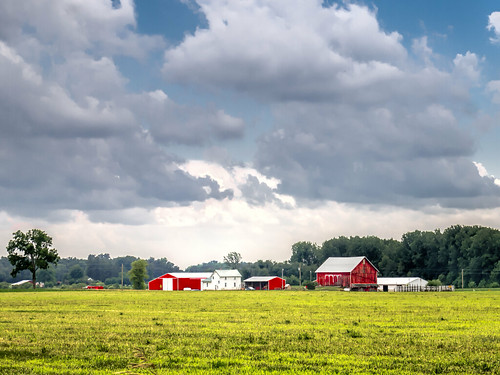
sky usa field clouds farmhouse barn rural landscape geotagged scenery farm indiana agriculture noblecounty davidcornwellphotographer olympuspenepl2
Afternoon Farm in Indiana
square squareformat iphoneography instagramapp uploaded:by=instagram foursquare:venue=4e177c3415202ba040b573bd
Today I worked from before sunrise straight through to sunset. Fourteen hours. So there's that.
autumn usa fall nature ecology leaves landscape geotagged outdoors woods map path indiana olympus location trail environment biodiversity mapped noblecounty southtrail primelens davidcornwell merryleacenterofgoshencollege olympuspenepl2 olympusmzuiko12mmf20
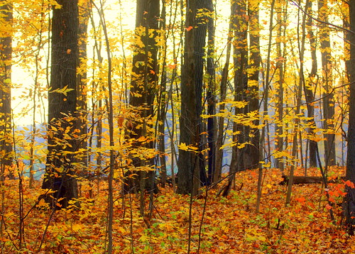
Light, Shadow, Color in the Woods
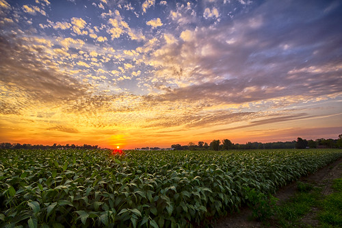
sunset sky field clouds rural cloudy farm country indiana bean
57 Indiana Bean Field Sunset
autumn usa nature ecology landscape geotagged outdoors map meadow indiana olympus location environment biodiversity mapped noblecounty marysmeadow davidcornwell merryleacenterofgoshencollege olympuspenepl2
Mary's Meadow and Forest
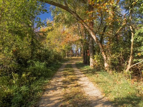
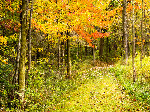
autumn trees usa nature ecology forest landscape geotagged outdoors woods education map meadow environmental indiana olympus location environment protected biodiversity mapped noblecounty marysmeadow davidcornwell merryleacenterofgoshencollege olympuspenepl2
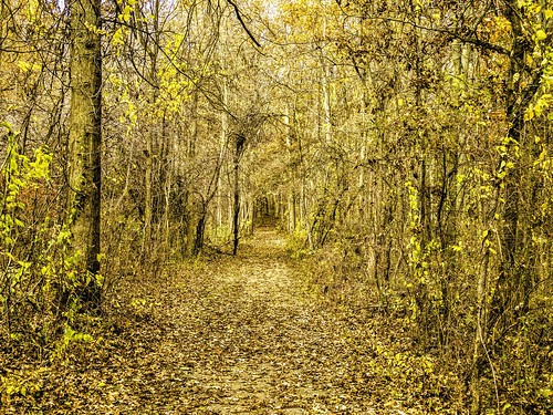
Forest Path
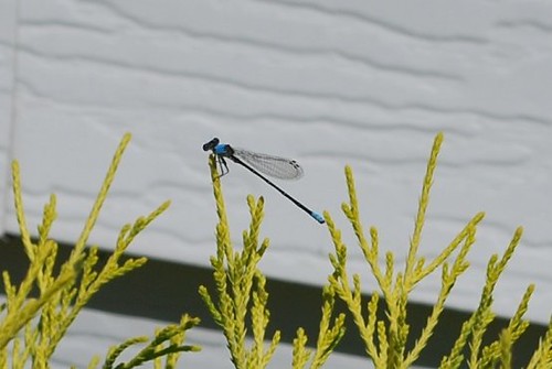
Blue Dragonfly
dragonfly d 60
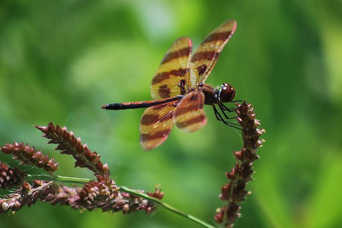
Brown Dragonfly
fallpics
Glad I don't have to rake those leaves
At the Cabin
bridge autumn usa fall nature ecology landscape geotagged outdoors map meadow indiana olympus location trail environment restoration biodiversity mapped walkingbridge noblecounty primelens trailk davidcornwell merryleacenterofgoshencollege olympuspenepl2 olympusmzuiko12mmf20
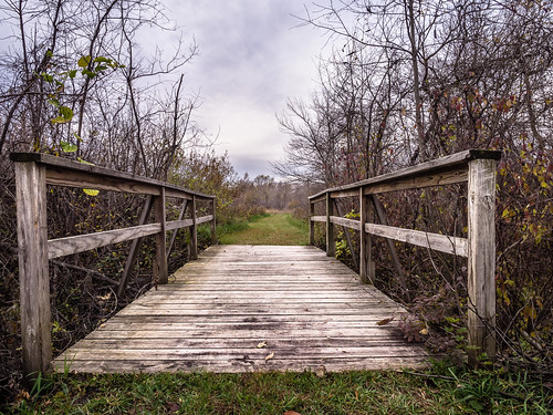
Walking Bridge Trail K
unitedstates indiana syracuse
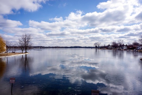
Spring is almost here
usa nature landscape geotagged indiana environment noblecounty merryleacenterofgoshencollege davidcornwellphotographer olympuspenepl2
The Sentinel
square squareformat hefe iphoneography instagramapp uploaded:by=instagram foursquare:venue=4e220438b61cdcf1ecc441a4
It may be cold, it might even be snowing... But we have a great homecoming crowd and the lead! #WeAreGC #feartheLancer #homecoming2014
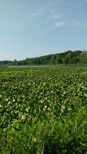
autumn usa fall nature ecology landscape geotagged outdoors unitedstates map mint indiana olympus location onions environment restoration albion wetland biodiversity mapped wolflake noblecounty primelens davidcornwell merryleacenterofgoshencollege olympuspenepl2 olympusmzuiko12mmf20 merryleamerryleaenvironmentalcenterofgoshencollege onionbottomswetland
Onion Bottoms Wetland
flower butterfly d60
DSC_0226 a