Elevation of Etna-Troy Township, IN, USA

Location: United States > Indiana > Whitley County >

Longitude: -85.581791

Latitude: 41.2565109

Elevation: 278m / 912feet

Barometric Pressure: 98KPa

Elevation Map:

elevation map of Etna-Troy Township, IN, USA

Satellite Map:

Satellite map of Etna-Troy Township, IN, USA

Related Photos:

fireworks reflected 5d 4thofjuly 2470mm websterlake fireworksdisplay fensterbme lakewebster lowlightphotography canon2470mm canonllens canon2470mmf28l northwebsterindiana fenstermacherphotography
4th of July Fireworks
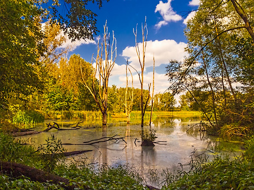
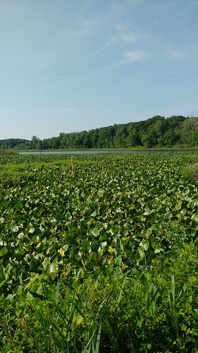
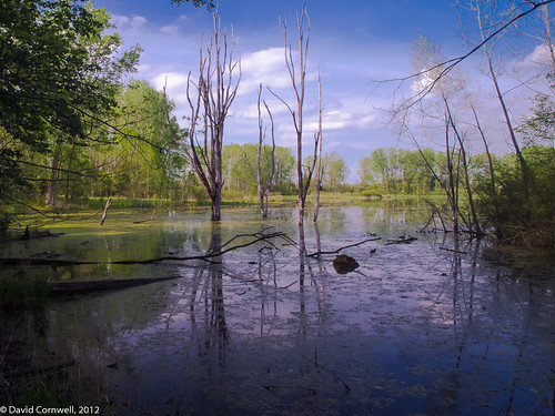
usa nature ecology landscape geotagged outdoors landscapes spring seasons scenic indiana olympus scene environment marsh habitat marshland wetland biodiversity in noblecounty primelens davidcornwell merryleacenterofgoshencollege olympuspenepl2 olympusmzuiko12mmf20 keslingwetland
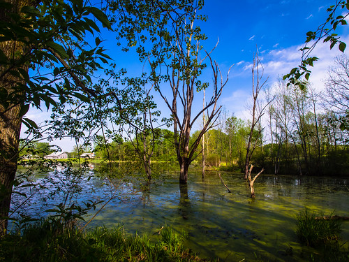
Spring Repose
interestingness fireworks fisheye reflected 5d 4thofjuly websterlake fireworksdisplay fensterbme lakewebster primelens lowlightphotography interestingness104 i500 canonfisheye canon15mmf28 canon15mmf28fisheye northwebsterindiana fenstermacherphotography curvilinearlens explore18jul08
Lakeside View
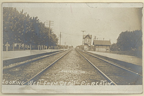
railroad piercetonindiana
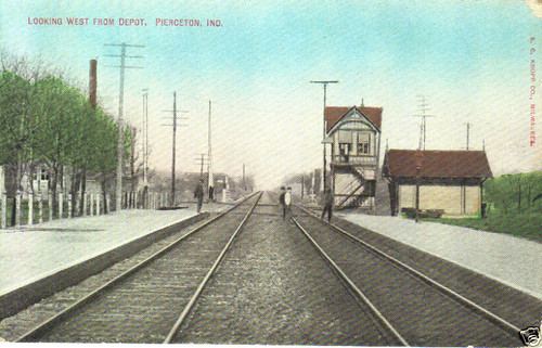
View looking west from Pierceton Depot
indiana pierceton
Pierceton Postcard, c. 1925
fireworks reflected 5d 4thofjuly 2470mm websterlake fireworksdisplay fensterbme lakewebster lowlightphotography canon2470mm canonllens canon2470mmf28l northwebsterindiana fenstermacherphotography
Double Shot
indiana pierceton
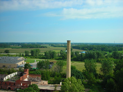
View from Pierceton Water Tower
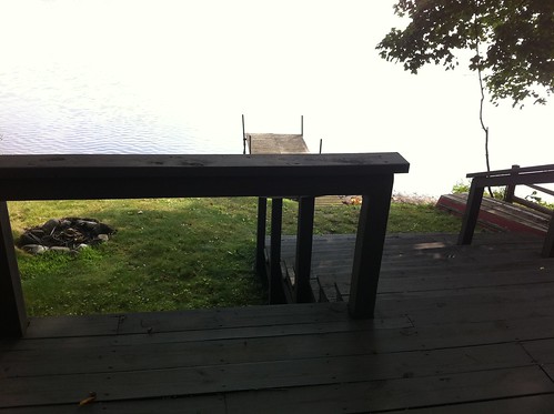
View from the Deck
usa nature ecology field barn rural landscape geotagged outdoors landscapes spring seasons farm country meadows indiana olympus scene environment biodiversity wolflake noblecounty primelens davidcornwell merryleacenterofgoshencollege olympuspenepl2 olympusmzuiko12mmf20 shewmeadows
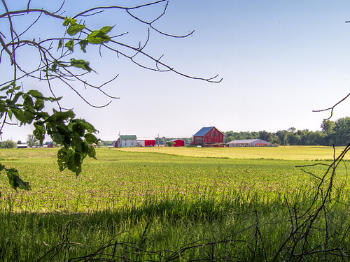
Indiana Farm at 5:38 pm
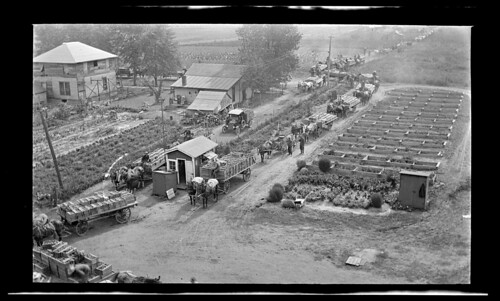
indiana canning pierceton reidmurdoch tomatofarming
PPL-003-804e_300
indiana pierceton
Pierceton Railroad tracks, c. 1915
davidcornwell indiana merryleacenterofgoshencollege noblecounty olympus olympusmzuiko12mmf20 olympuspenepl2 usa biodiversity clouds ecology environment flowers foilage geotagged grass habitat landscape location map mapped meadow nature outdoors prairiegrass preservation primelens restoration wetland albion unitedstates
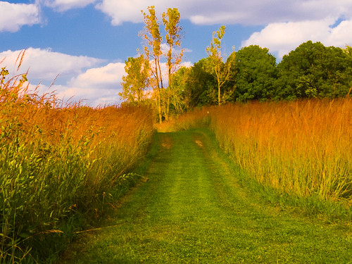
Golden Pathway
flowers usa nature ecology clouds landscape geotagged outdoors unitedstates map meadow indiana olympus location environment dslr habitat foilage albion wetland biodiversity mapped farmstead noblecounty primelens davidcornwell merryleacenterofgoshencollege olympuspenepl2 olympusmzuiko12mmf20 keslingwetland
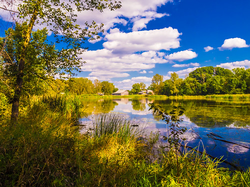
Kesling Wetland and Farmstead
autumn usa fall nature ecology landscape geotagged outdoors map path meadow indiana olympus location trail environment restoration biodiversity mapped noblecounty davidcornwell merryleacenterofgoshencollege olympuspenepl2 luckeyslane
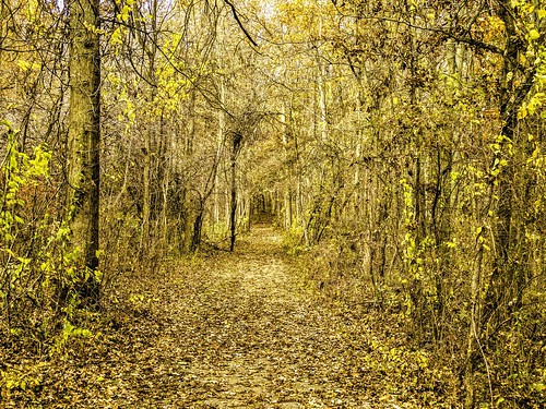
Luckey's Lane of Merry Lea Center
flowers usa nature ecology grass clouds landscape geotagged outdoors unitedstates map meadow indiana olympus location environment restoration dslr habitat foilage albion preservation wetland biodiversity mapped prairiegrass noblecounty primelens davidcornwell merryleacenterofgoshencollege olympuspenepl2 olympusmzuiko12mmf20
The Other Side
autumn usa fall nature ecology landscape geotagged outdoors map path indiana olympus location trail environment restoration prairie biodiversity mapped wolflake noblecounty primelens trailk davidcornwell merryleacenterofgoshencollege olympuszd50mmf20 olympuspenepl2 olympusmzuiko12mmf20 bearlakeprairie
Bear Lake Prairie on Trail K
usa nature ecology clouds landscape geotagged outdoors unitedstates map indiana olympus location environment dslr habitat foilage albion wetland biodiversity mapped noblecounty primelens davidcornwell merryleacenterofgoshencollege olympuspenepl2 olympusmzuiko12mmf20 keslingwetland
Back to Kesling
flowers usa nature ecology clouds landscape geotagged outdoors unitedstates map meadow indiana location environment dslr habitat foilage albion wetland biodiversity mapped noblecounty primelens davidcornwell merryleacenterofgoshencollege olympuspenepl2 olympusmzuiko12mmf20 keslingwetland
Kesling Wetland
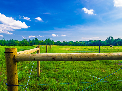
usa nature ecology landscape geotagged indiana environment biodiversity noblecounty merryleacenterofgoshencollege davidcornwellphotographer olympuspenepl2 olympusmzuiko12mmf20 southkeslingmeadows
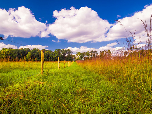
Fenced Meadow
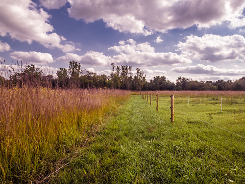
flowers usa nature ecology clouds landscape geotagged outdoors unitedstates map meadow indiana olympus location environment dslr habitat foilage albion wetland biodiversity mapped prairiegrass noblecounty primelens davidcornwell merryleacenterofgoshencollege olympuszd50mmf20 olympuspenepl2 olympusmzuiko12mmf20
Prairie Grass
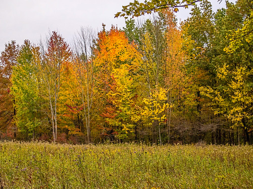
autumn usa fall nature ecology leaves forest landscape geotagged outdoors woods seasons map meadow indiana olympus location environment restoration biodiversity mapped noblecounty marysmeadow davidcornwell merryleacenterofgoshencollege olympuspenepl2 olympusmzuiko12mmf20
Leaves by the Hundreds Came
indiana 2016 syracusein motorolamotog3 tricountyfwa wylandlake
Wyland Lake
indiana 2016 allenlake syracusein motorolamotog3 tricountyfwa
Allen Lake
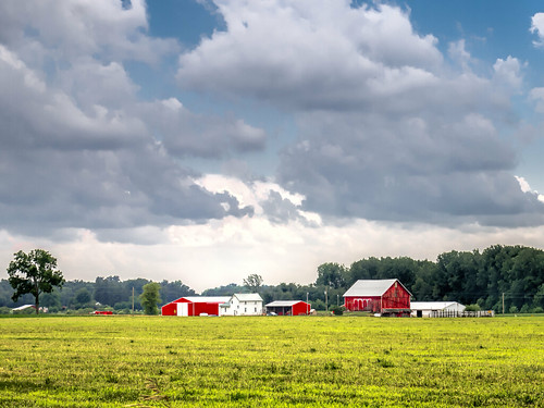
sky usa field clouds farmhouse barn rural landscape geotagged scenery farm indiana agriculture noblecounty davidcornwellphotographer olympuspenepl2
Afternoon Farm in Indiana
ecology landscape indiana olympus biodiversity wolflake noblecounty davidcornwell merryleacenterofgoshencollege merryleamerryleaenvironmentalcenterofgoshencollege
Merry Lea Farmstead
autumn usa nature ecology landscape geotagged outdoors map meadow indiana olympus location environment biodiversity mapped noblecounty marysmeadow davidcornwell merryleacenterofgoshencollege olympuspenepl2
Mary's Meadow and Forest
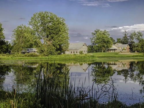
usa ecology barn rural landscape geotagged scenery farm country indiana olympus soil agriculture biodiversity in farmstead wolflake noblecounty davidcornwell merryleacenterofgoshencollege merryleamerryleaenvironmentalcenterofgoshencollege
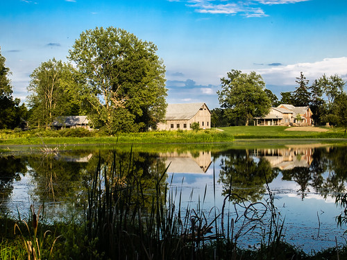
Merry Lea Environmental Center Farmstead
autumn usa fall nature ecology landscape geotagged outdoors seasons natural conservation indiana olympus environment zuiko preservation wetland biodiversity evolt wolflake zd noblecounty fourthirds goshencollege esystem protectedarea davidcornwell zuikodigital50mm olympuse510camera merryleacenter merryleacenterofgoshencollege 100mmequiv fwfg uefirsteditions
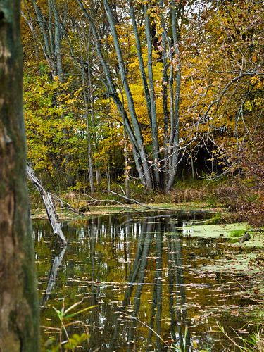
Reflecting...
road usa ecology rural landscape countryside scenery indiana olympus biodiversity wolflake noblecounty davidcornwell wdeangle merryleacenterofgoshencollege olympuspenepl2 olympusmzuiko12mmf20 merryleamerryleaenvironmentalcenterofgoshencollege
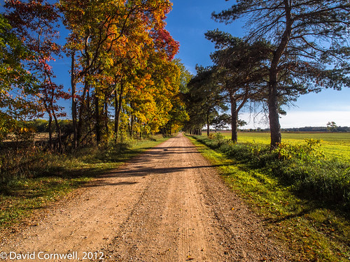
The Road
autumn trees usa nature ecology forest landscape geotagged outdoors woods education map meadow environmental indiana olympus location environment protected biodiversity mapped noblecounty marysmeadow davidcornwell merryleacenterofgoshencollege olympuspenepl2
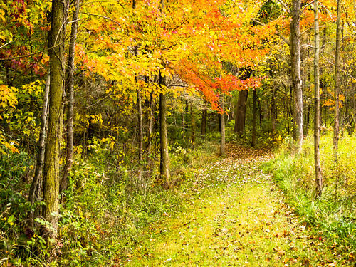
Forest Path
flowers usa nature ecology clouds landscape geotagged outdoors unitedstates map meadow indiana location environment habitat foilage albion wetland biodiversity mapped noblecounty primelens davidcornwell merryleacenterofgoshencollege olympuspenepl2 olympusmzuiko12mmf20
In the Sun
usa nature ecology pen landscape geotagged outdoors landscapes spring seasons scenic indiana olympus scene environment marsh habitat marshland wetland biodiversity in noblecounty primelens davidcornwell merryleacenterofgoshencollege olympuspenepl2 olympusmzuiko12mmf20 kesslingwetland
A Silent Spring