Elevation of W Cedar St, Fulton, KS, USA
Location: United States > Kansas > Bourbon County > Freedom > Fulton >
Longitude: -94.722602
Latitude: 38.0107555
Elevation: 259m / 850feet
Barometric Pressure: 98KPa
Elevation Map:
Satellite Map:
Related Photos:
30033
30034
30041

“Life is partly what we make it, and partly what it is made by the friends we choose.” Tennessee Williams
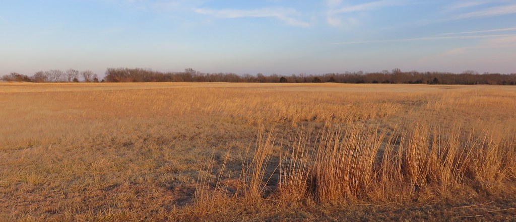
Battle of Mine Creek Site- Linn County KS (6)
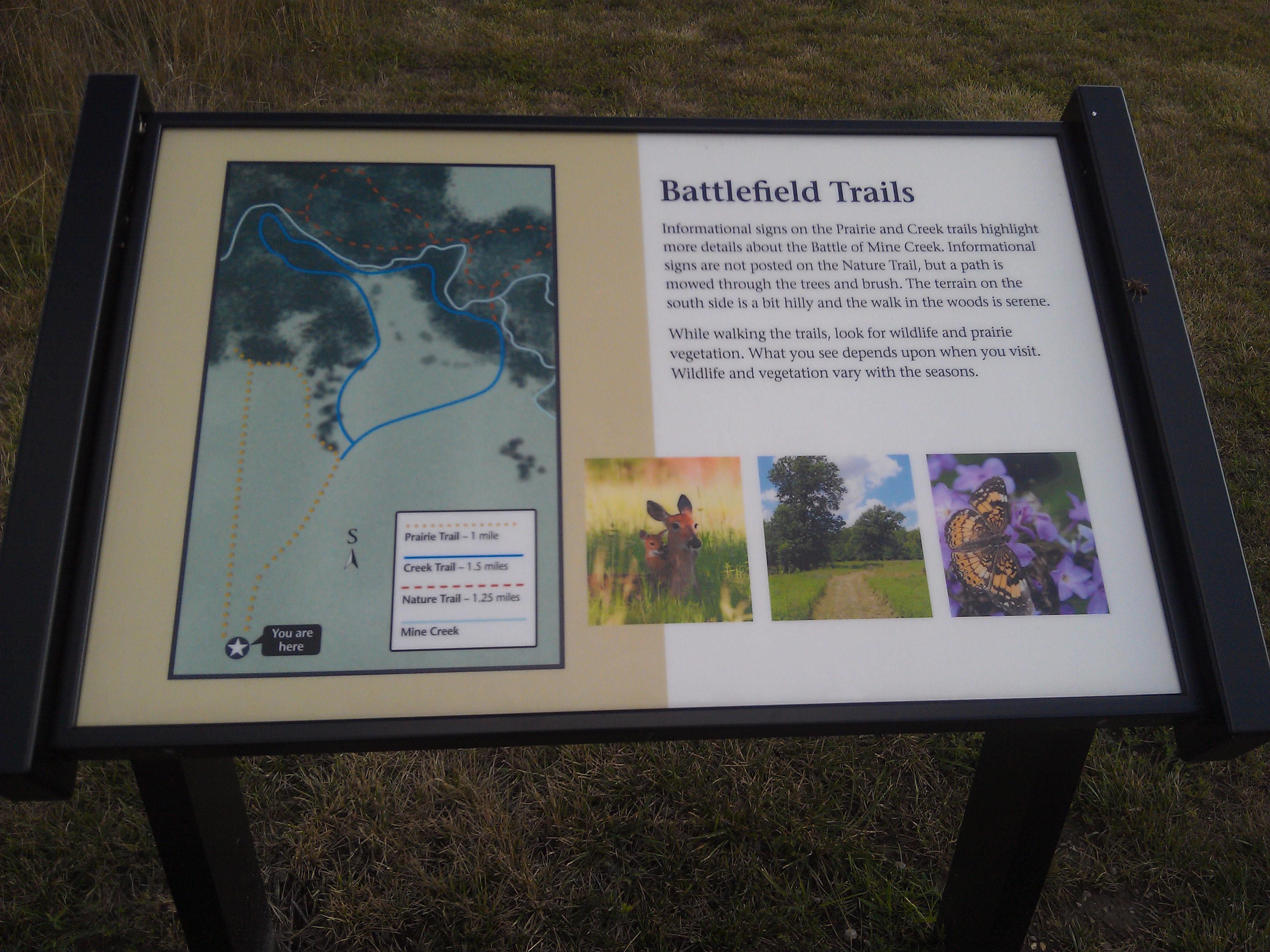
Battle of Mine Creek State Historic Site (Linn County, Kansas)
Battle of Mine Creek State Historic Site (Linn County, Kansas)
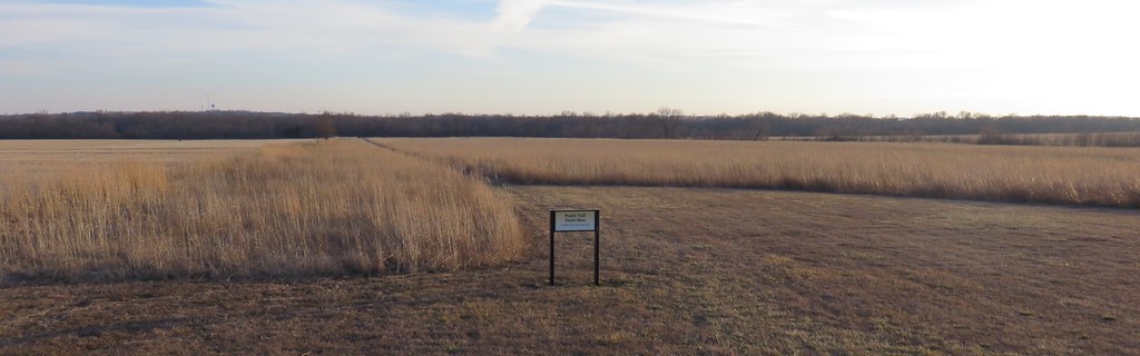
Battle of Mine Creek Site- Linn County KS (7)
Battle of Mine Creek Site- Linn County KS (4)

Battle of Mine Creek Site- Linn County KS (1)
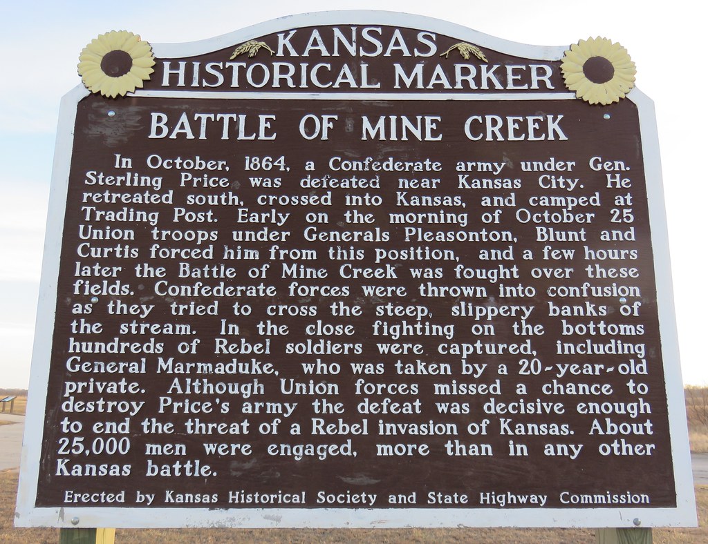
Battle of Mine Creek Marker (Linn County, Kansas)
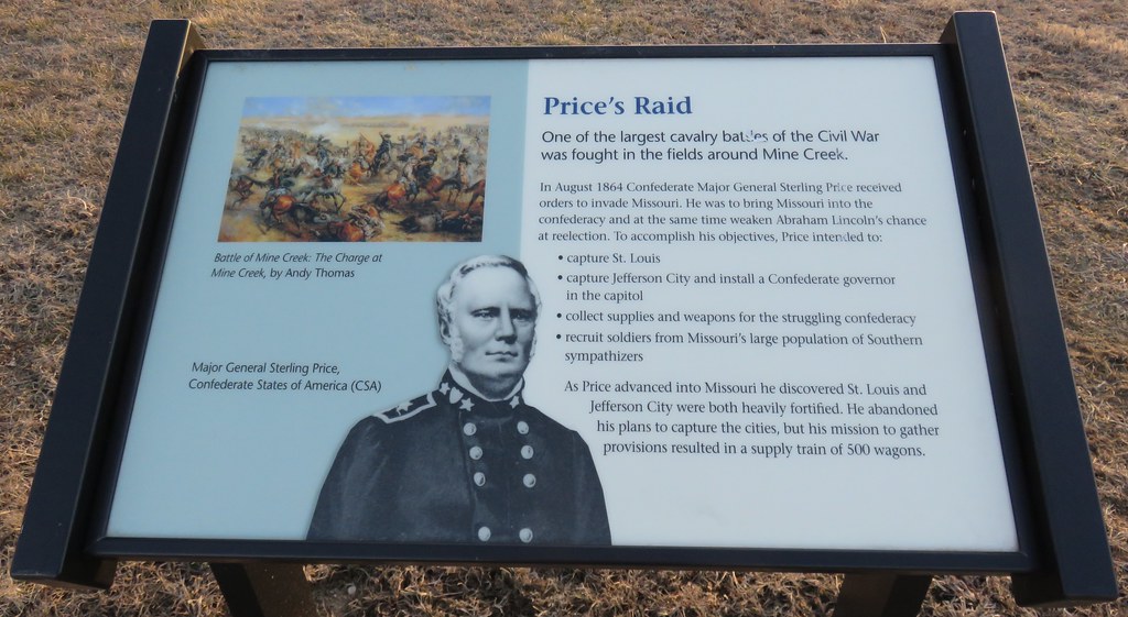
Price's Raid Marker (Battle of Mine Creek State Historic Site, Kansas)
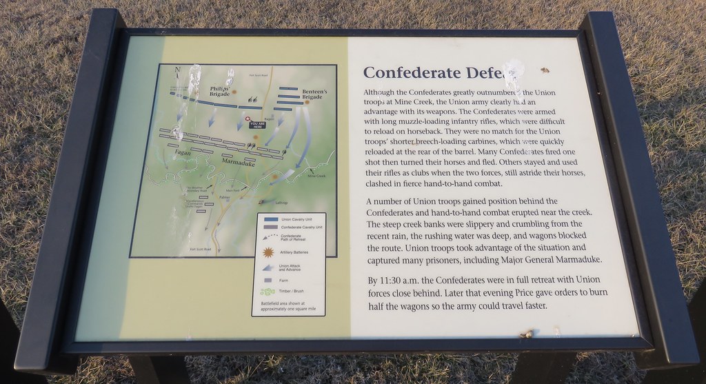
Confederate Defeat Marker (Battle of Mine Creek State Historic Site, Kansas)
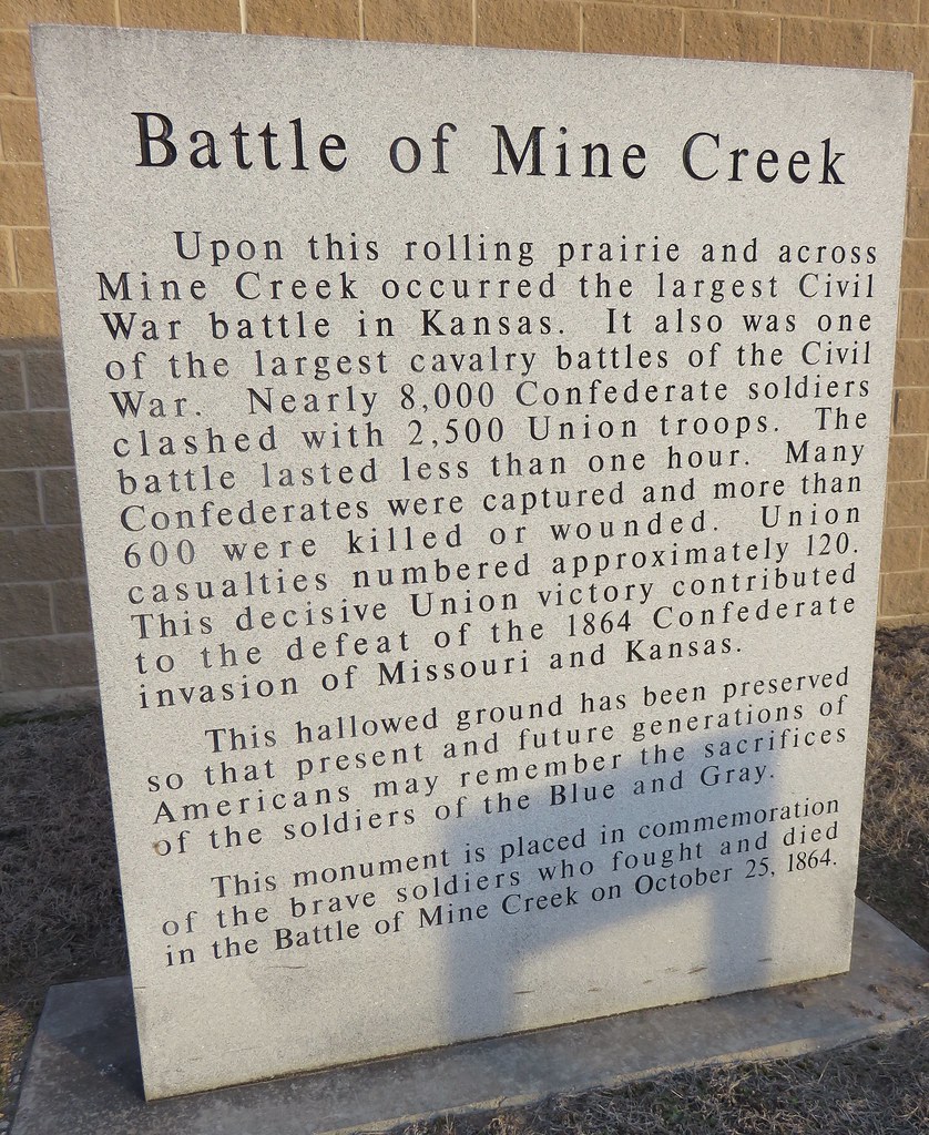
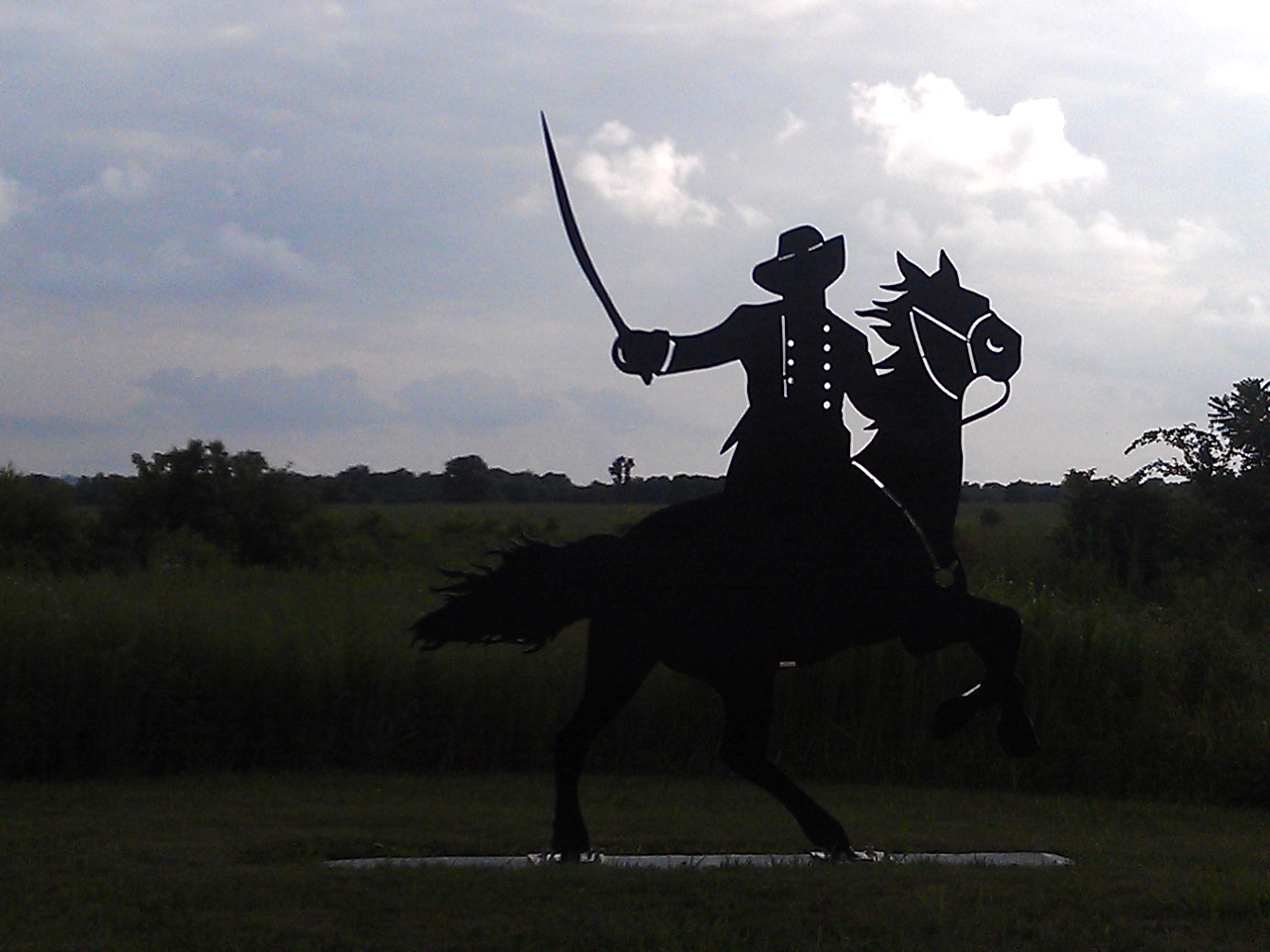
Battle of Mine Creek Monument (Linn County, Kansas)
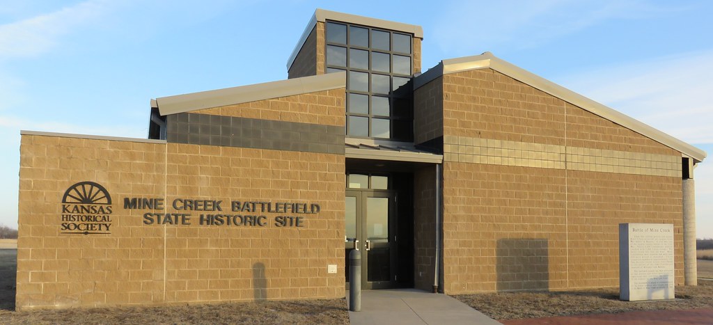
Battle of Mine Creek State Historic Site Visitor Center (Linn County, Kansas)
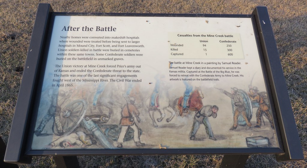
After the Battle Marker (Battle of Mine Creek State Historic Site, Kansas)
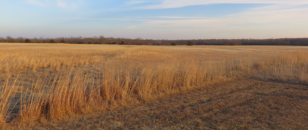
Battle of Mine Creek State Historic Site (Linn County, Kansas)
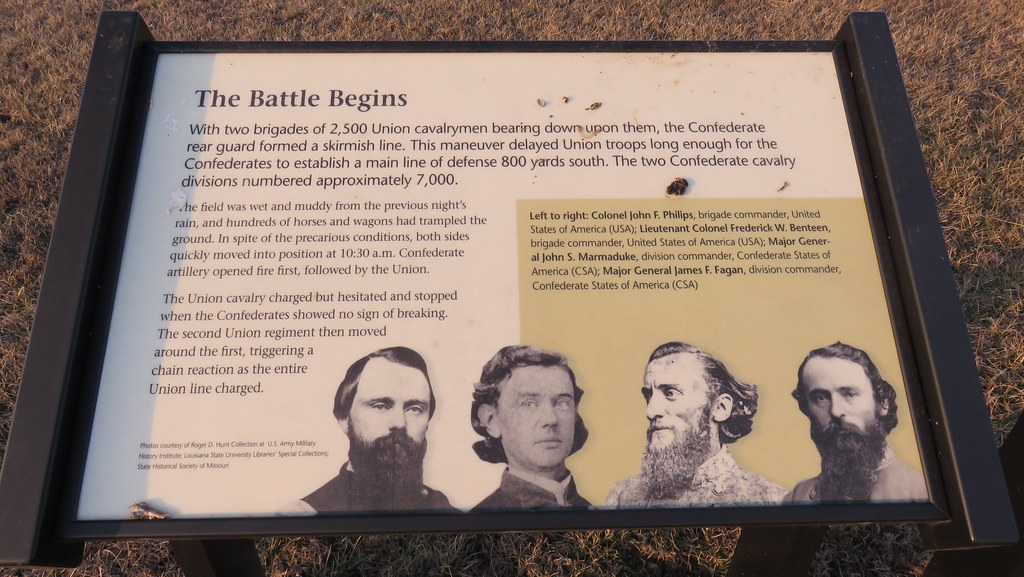
The Battle Begins Marker (Battle of Mine Creek State Historic Site, Kansas)
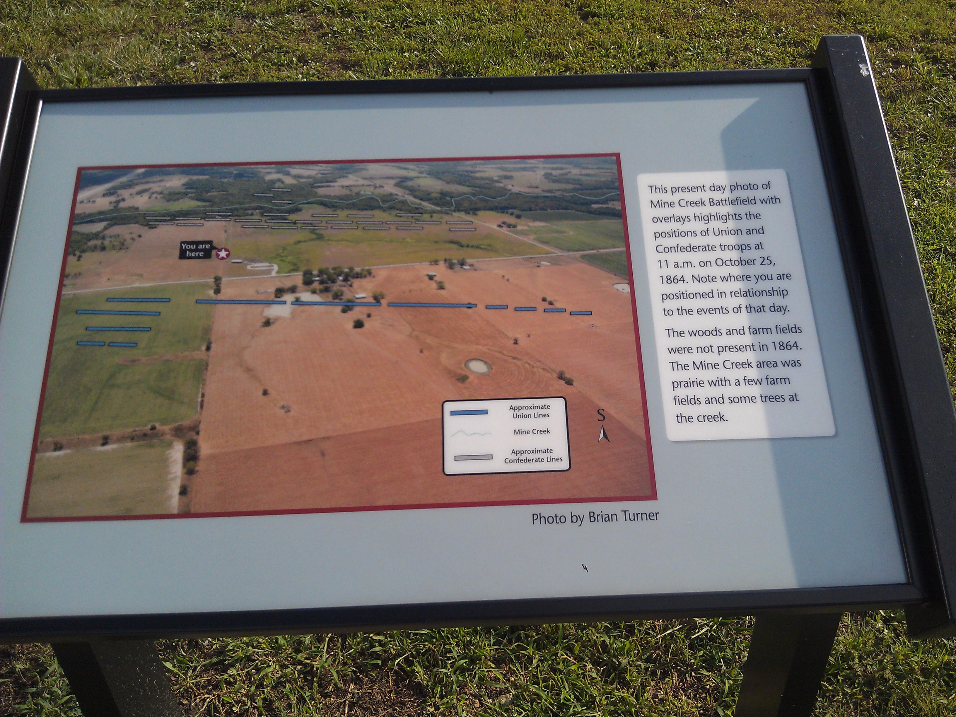
Battle of Mine Creek Site- Linn County KS (2)
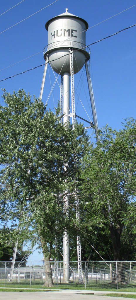
Hume, Missouri Water Tower

Hume, Missouri City Hall
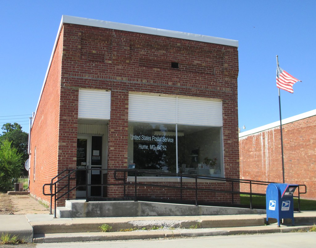
Post Office 64752 (Hume, Missouri)
Topographic Map of W Cedar St, Fulton, KS, USA
Find elevation by address:

Places near W Cedar St, Fulton, KS, USA:
Fulton
Freedom
Sugar Valley & Hidden Valley Lakes
Timber Hills Lake Ranch Cattle Company
Mound City
Linn County
Timberhill
2nd St, Hume, MO, USA
Hume
E 7th St, Mapleton, KS, USA
Mound City
Potosi
Mapleton
Main St, Pleasanton, KS, USA
Pleasanton
Howard Township
Walnut Township
Main St, Pleasanton, KS, USA
11336 Sw County Rd 968
Valley
Recent Searches:
- Elevation of Corso Fratelli Cairoli, 35, Macerata MC, Italy
- Elevation of Tallevast Rd, Sarasota, FL, USA
- Elevation of 4th St E, Sonoma, CA, USA
- Elevation of Black Hollow Rd, Pennsdale, PA, USA
- Elevation of Oakland Ave, Williamsport, PA, USA
- Elevation of Pedrógão Grande, Portugal
- Elevation of Klee Dr, Martinsburg, WV, USA
- Elevation of Via Roma, Pieranica CR, Italy
- Elevation of Tavkvetili Mountain, Georgia
- Elevation of Hartfords Bluff Cir, Mt Pleasant, SC, USA