Elevation of Mapleton, KS, USA
Location: United States > Kansas > Bourbon County > Timberhill >
Longitude: -94.883577
Latitude: 38.015034
Elevation: 270m / 886feet
Barometric Pressure: 98KPa
Elevation Map:
Satellite Map:
Related Photos:

Old Gravestones: a re-edit, with texture added
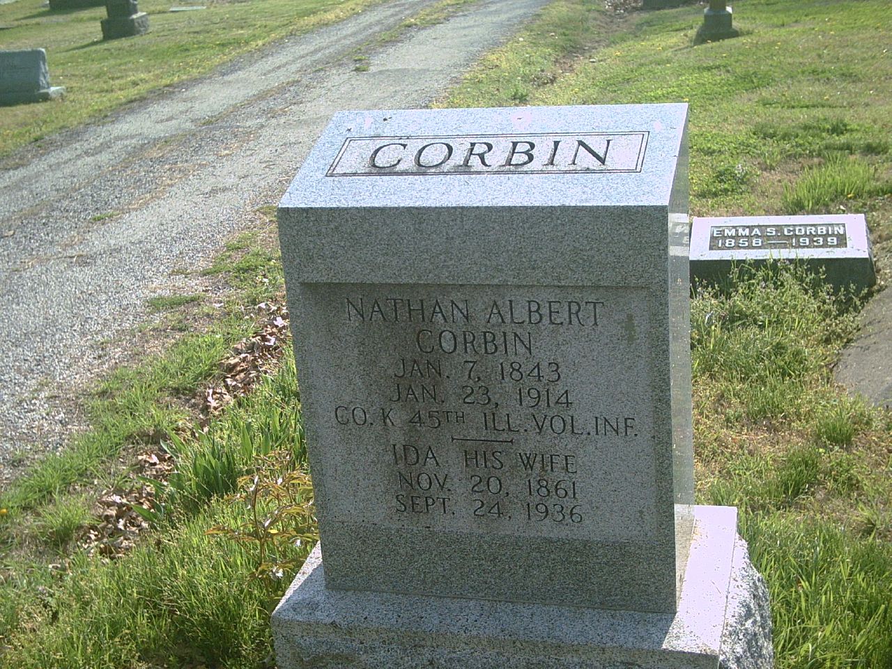
Nathan Albert Corbin
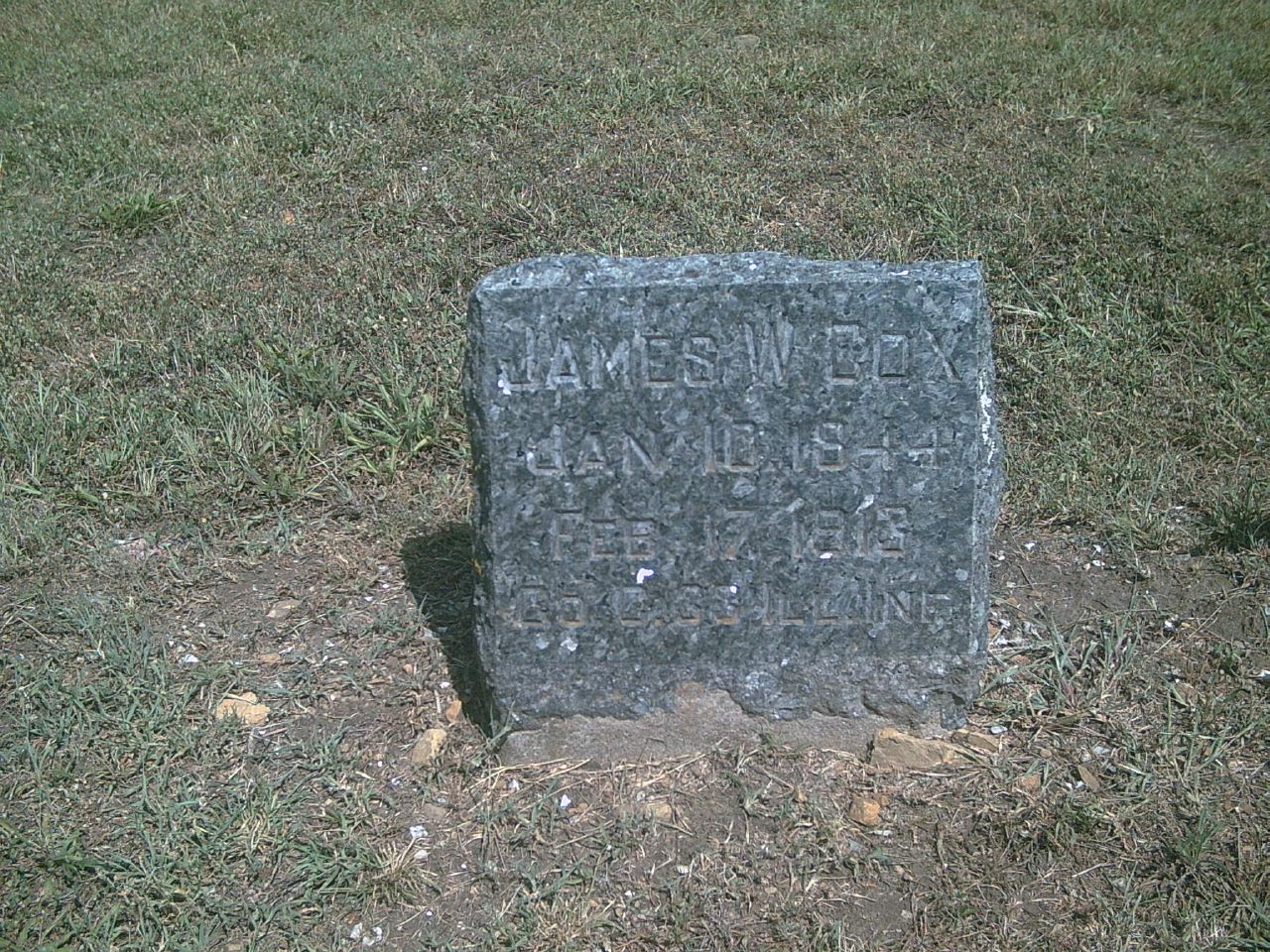
James W. Cox

Daniel D. Day
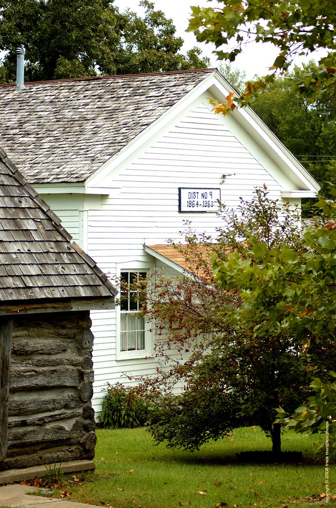
Old School House - Mound City Historical Park

James M. Lowry

Daniel D. Day1

Pleasant View Cemetery
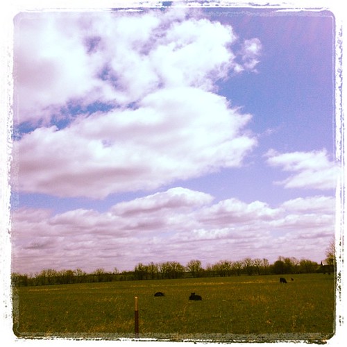
Kansas road trip

Kansas road trip
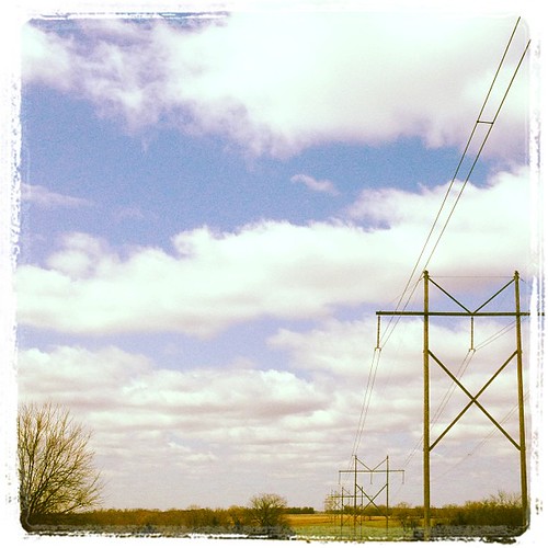
Kansas road trip
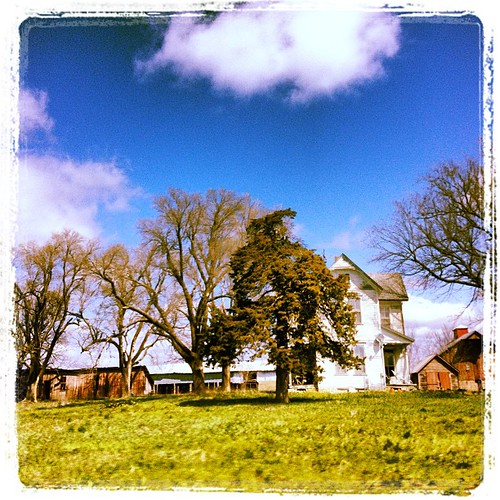
Kansas road trip
Topographic Map of Mapleton, KS, USA
Find elevation by address:

Places in Mapleton, KS, USA:
Places near Mapleton, KS, USA:
E 7th St, Mapleton, KS, USA
Timberhill
Timber Hills Lake Ranch Cattle Company
Mound City
Franklin
Sugar Valley & Hidden Valley Lakes
Freedom
Linn County
Blue Mound
E Main St, Blue Mound, KS, USA
Mound City
Blue Mound
W Cedar St, Fulton, KS, USA
Fulton
Main St, Pleasanton, KS, USA
Pleasanton
4486 W 1325 Rd
Centerville
Centerville
Potosi
Recent Searches:
- Elevation of Corso Fratelli Cairoli, 35, Macerata MC, Italy
- Elevation of Tallevast Rd, Sarasota, FL, USA
- Elevation of 4th St E, Sonoma, CA, USA
- Elevation of Black Hollow Rd, Pennsdale, PA, USA
- Elevation of Oakland Ave, Williamsport, PA, USA
- Elevation of Pedrógão Grande, Portugal
- Elevation of Klee Dr, Martinsburg, WV, USA
- Elevation of Via Roma, Pieranica CR, Italy
- Elevation of Tavkvetili Mountain, Georgia
- Elevation of Hartfords Bluff Cir, Mt Pleasant, SC, USA