Elevation of E 7th St, Mapleton, KS, USA
Location: United States > Kansas > Bourbon County > Timberhill > Mapleton >
Longitude: -94.882856
Latitude: 38.0161121
Elevation: 270m / 886feet
Barometric Pressure: 98KPa
Elevation Map:
Satellite Map:
Related Photos:
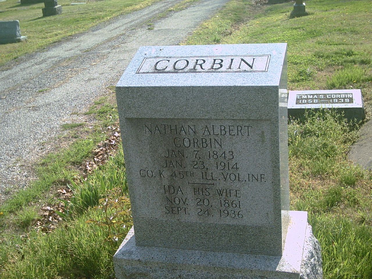
Nathan Albert Corbin

Old Gravestones: a re-edit, with texture added
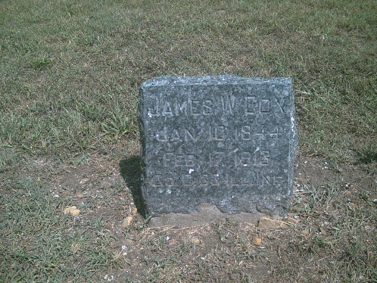
James W. Cox

Daniel D. Day
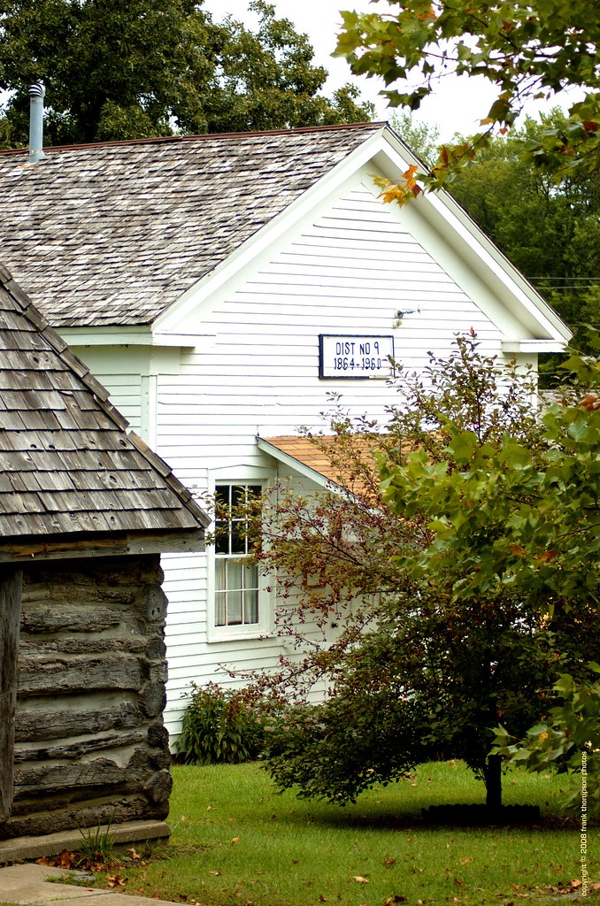
Old School House - Mound City Historical Park

James M. Lowry

Daniel D. Day1

Pleasant View Cemetery
Kansas road trip

Kansas road trip
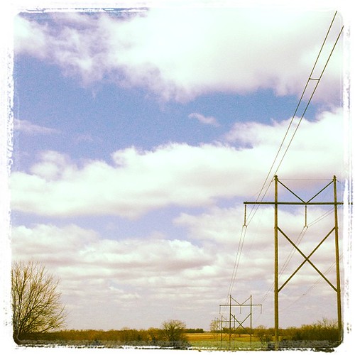
Kansas road trip
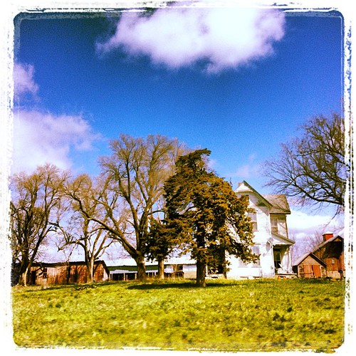
Kansas road trip
Topographic Map of E 7th St, Mapleton, KS, USA
Find elevation by address:

Places near E 7th St, Mapleton, KS, USA:
Mapleton
Timberhill
Timber Hills Lake Ranch Cattle Company
Mound City
Franklin
Sugar Valley & Hidden Valley Lakes
Freedom
Linn County
Blue Mound
E Main St, Blue Mound, KS, USA
Mound City
Blue Mound
W Cedar St, Fulton, KS, USA
Fulton
Main St, Pleasanton, KS, USA
Pleasanton
4486 W 1325 Rd
Centerville
Centerville
Potosi
Recent Searches:
- Elevation of Corso Fratelli Cairoli, 35, Macerata MC, Italy
- Elevation of Tallevast Rd, Sarasota, FL, USA
- Elevation of 4th St E, Sonoma, CA, USA
- Elevation of Black Hollow Rd, Pennsdale, PA, USA
- Elevation of Oakland Ave, Williamsport, PA, USA
- Elevation of Pedrógão Grande, Portugal
- Elevation of Klee Dr, Martinsburg, WV, USA
- Elevation of Via Roma, Pieranica CR, Italy
- Elevation of Tavkvetili Mountain, Georgia
- Elevation of Hartfords Bluff Cir, Mt Pleasant, SC, USA