Elevation of Vista Grande Rd, El Cajon, CA, USA
Location: United States > California > San Diego County > El Cajon >
Longitude: -116.91362
Latitude: 32.7630783
Elevation: 172m / 564feet
Barometric Pressure: 99KPa
Elevation Map:
Satellite Map:
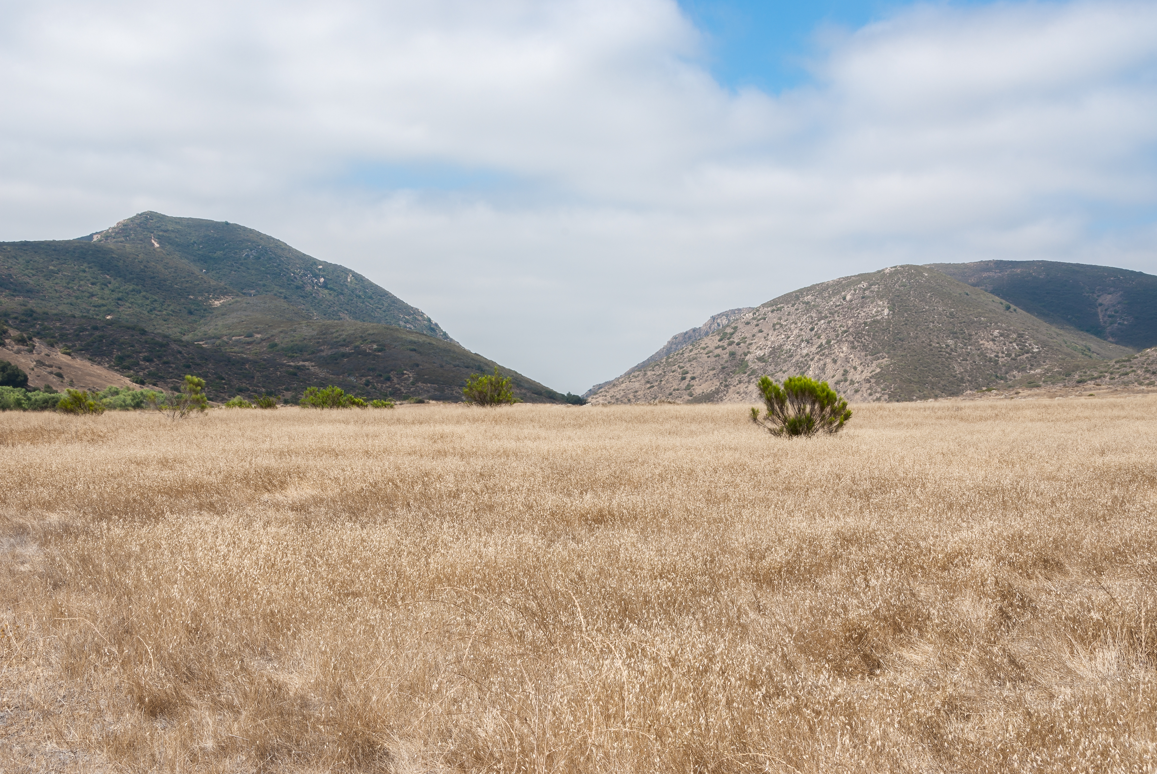
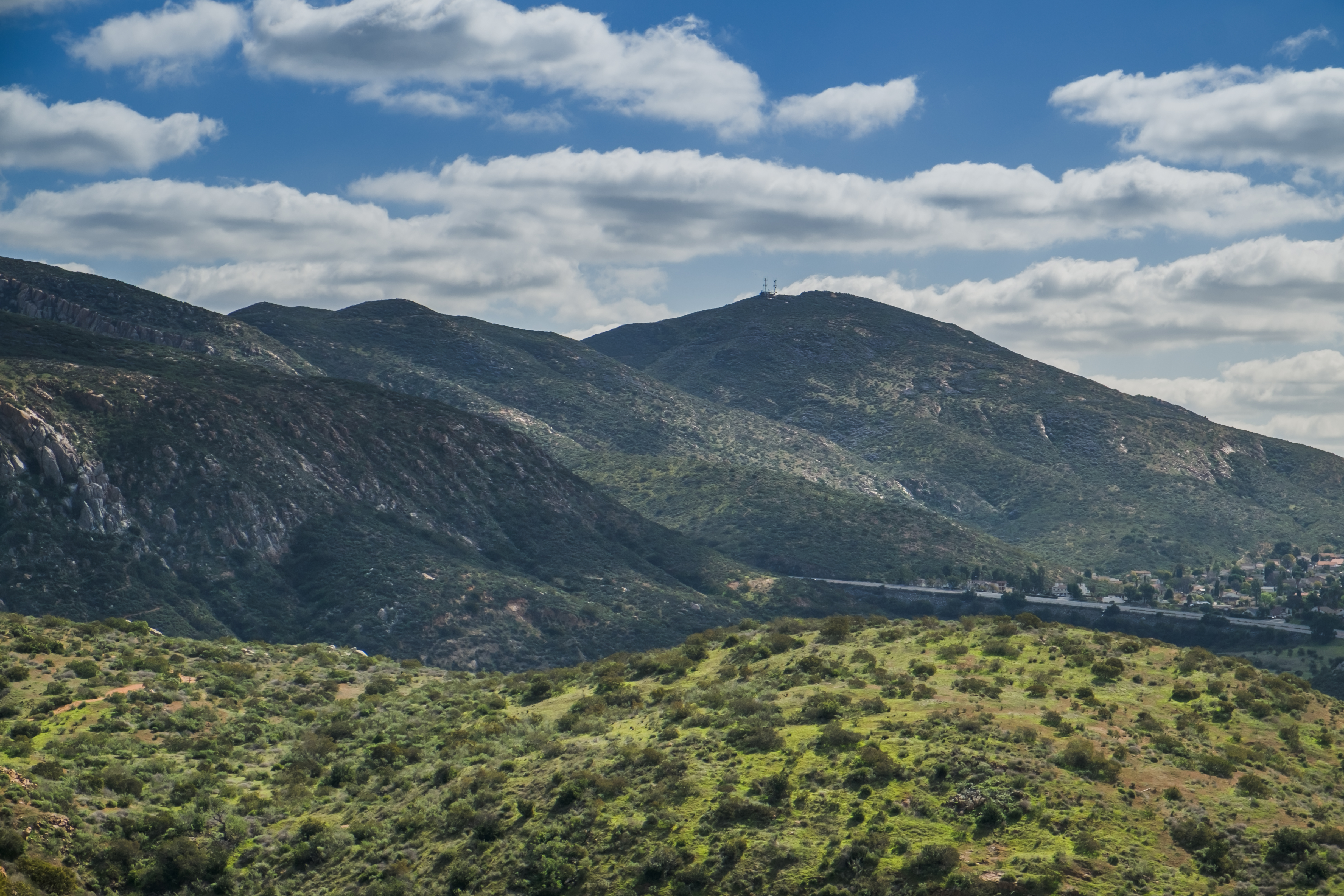
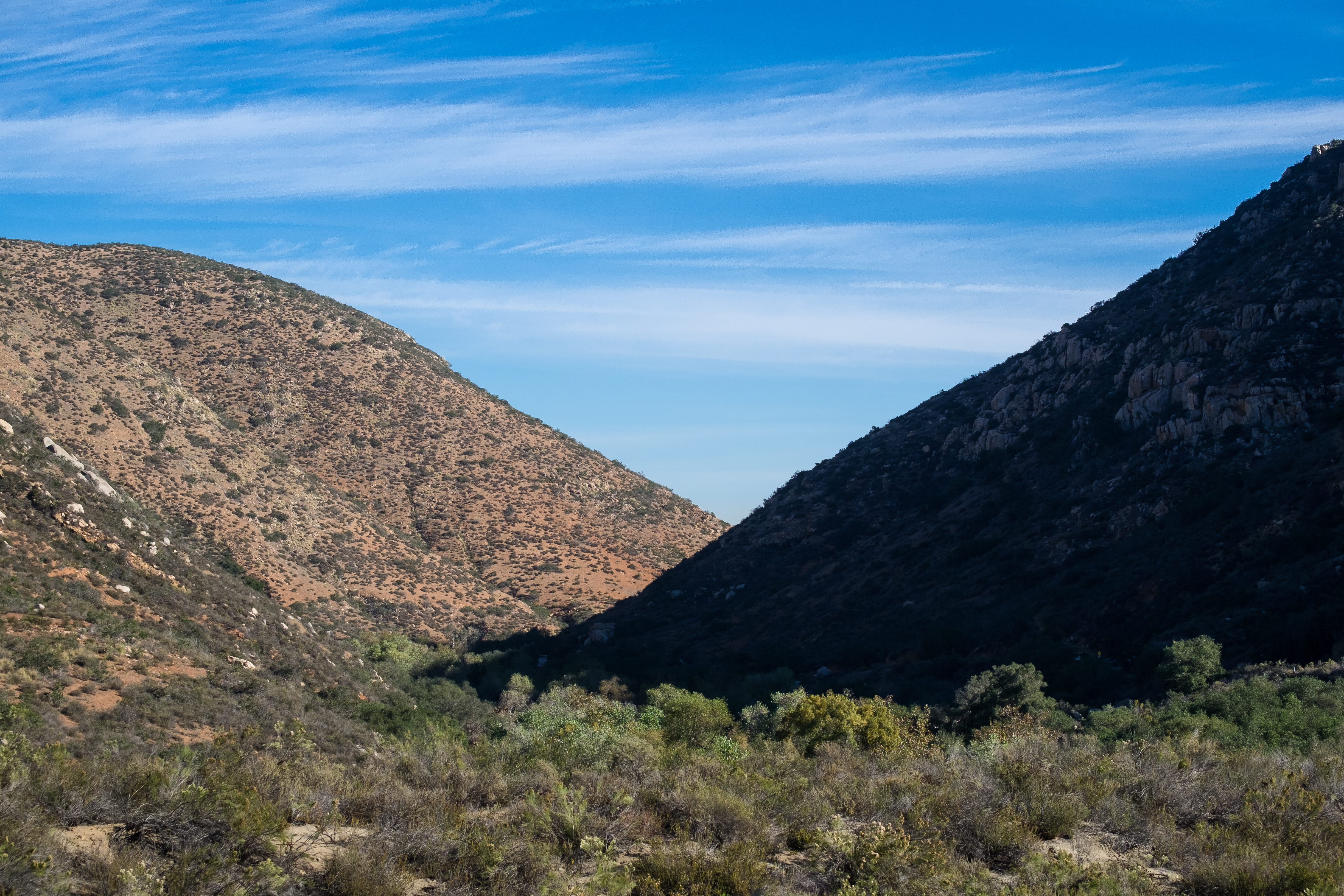
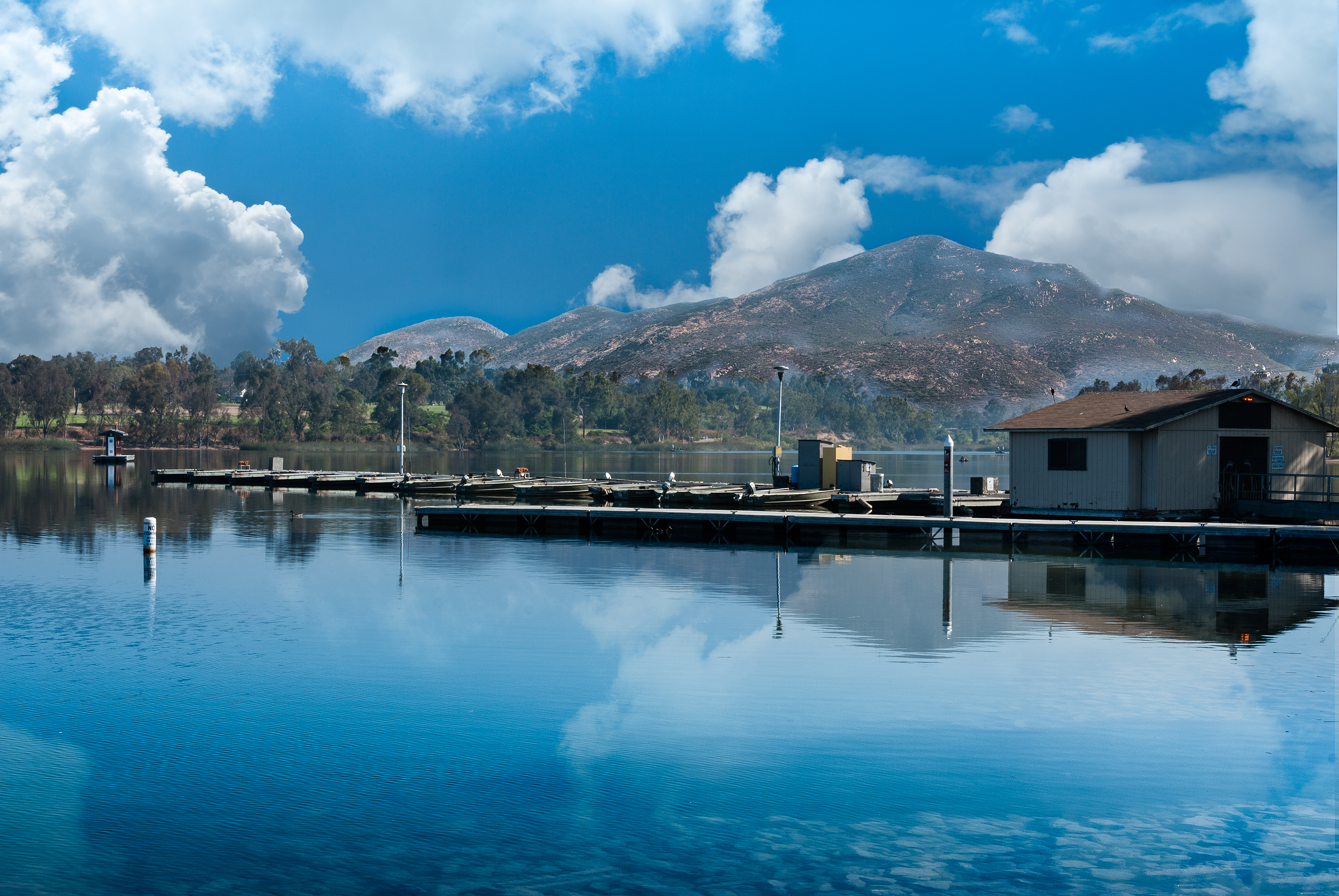
Related Photos:

Santee Lakes on the Winter Solstice With Sun Flare - Infrared
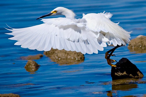
Delicate Dance (Egretta Thula), Snowy Egret

Mega Cloud

Saturday In The Park - Infrared
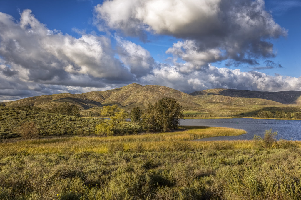
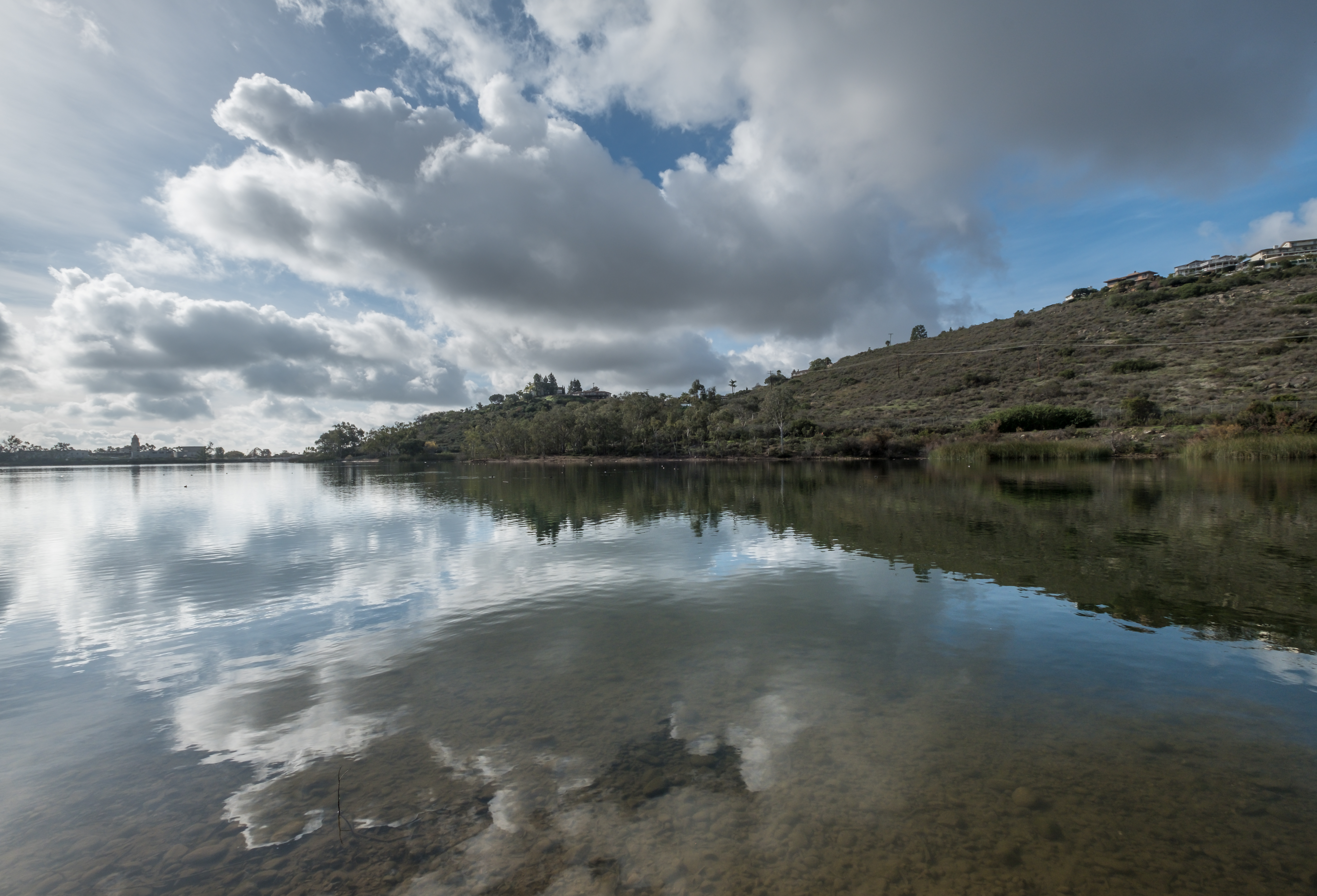
Lower Otay Reservoir
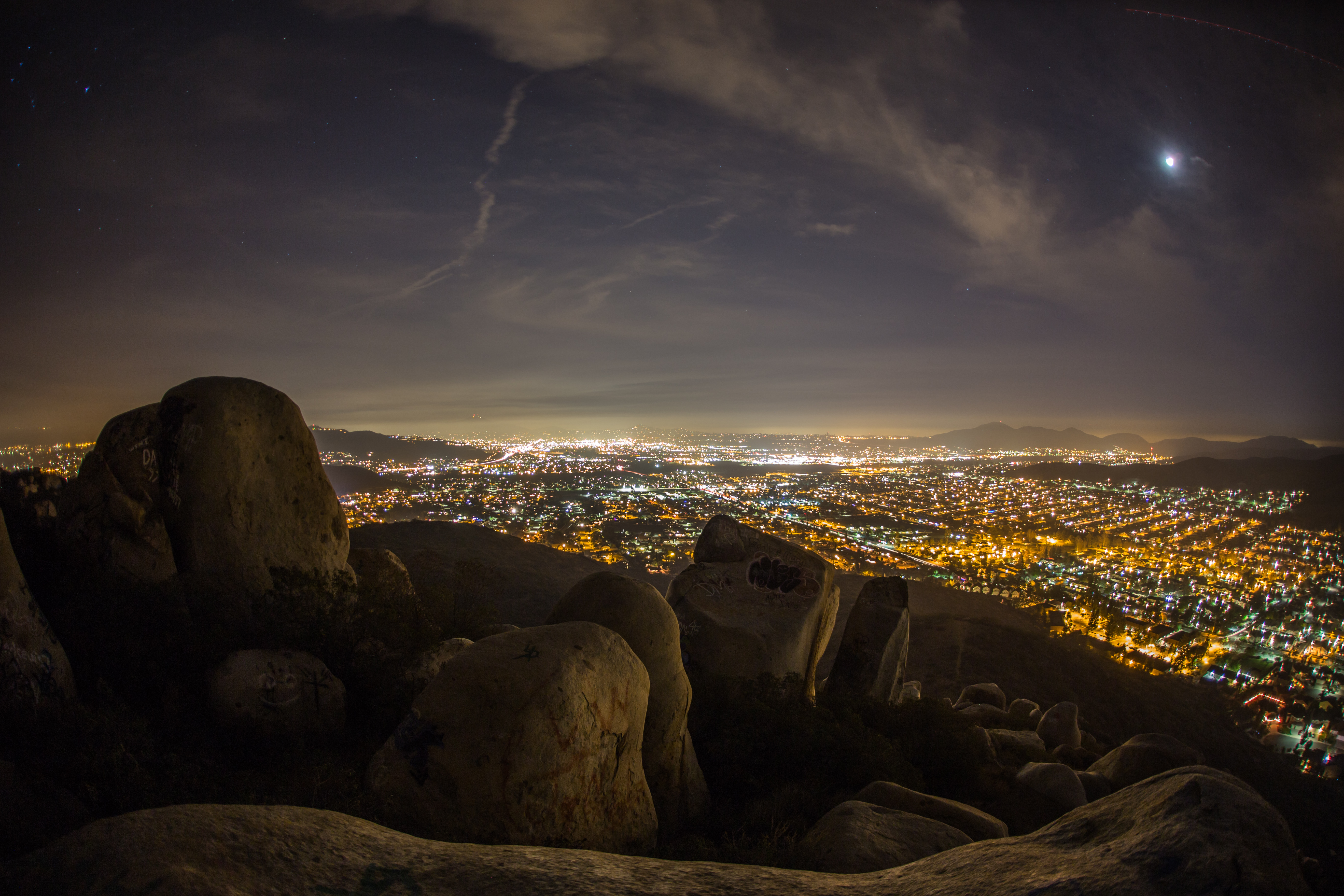
Rocks atop a mountain at night.
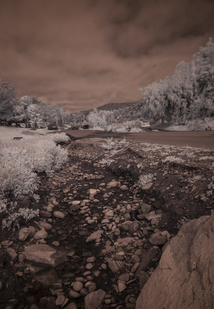
Oak Creek Running Across Oak Creek Drive IR

El Cajon to the third power!

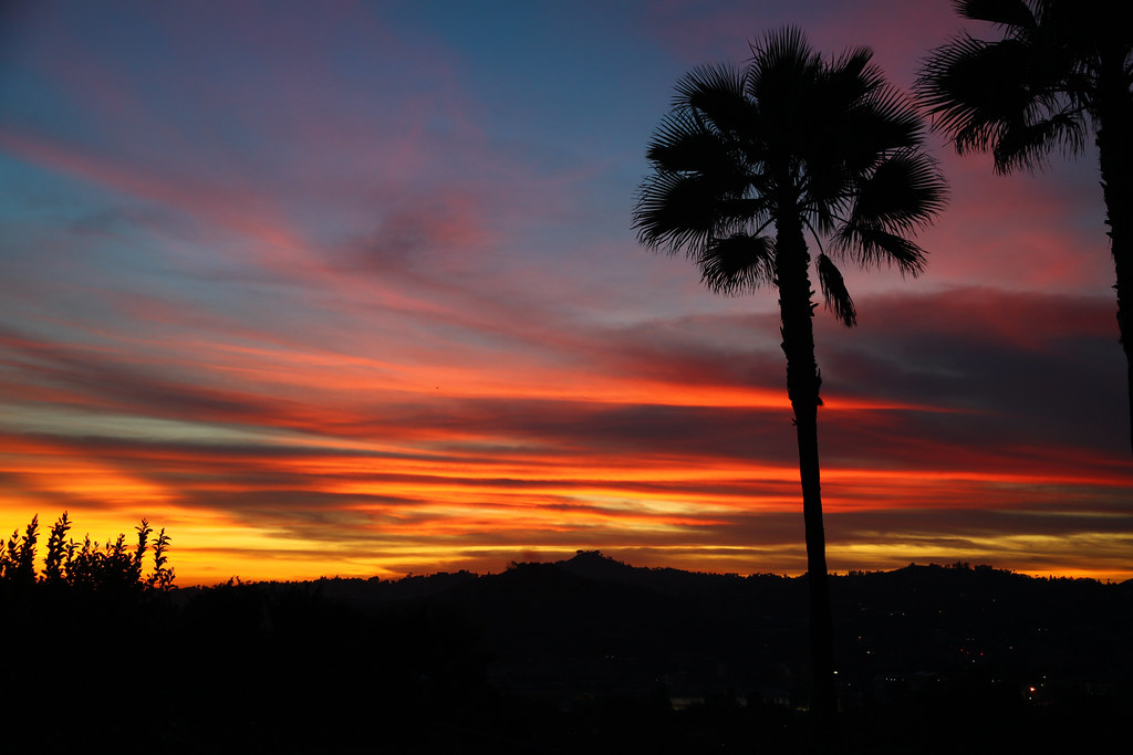
Sunday Night
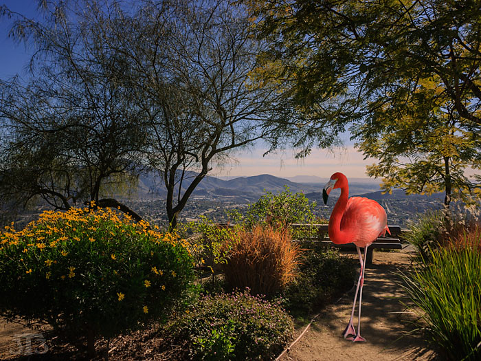
Fiona Flamingo

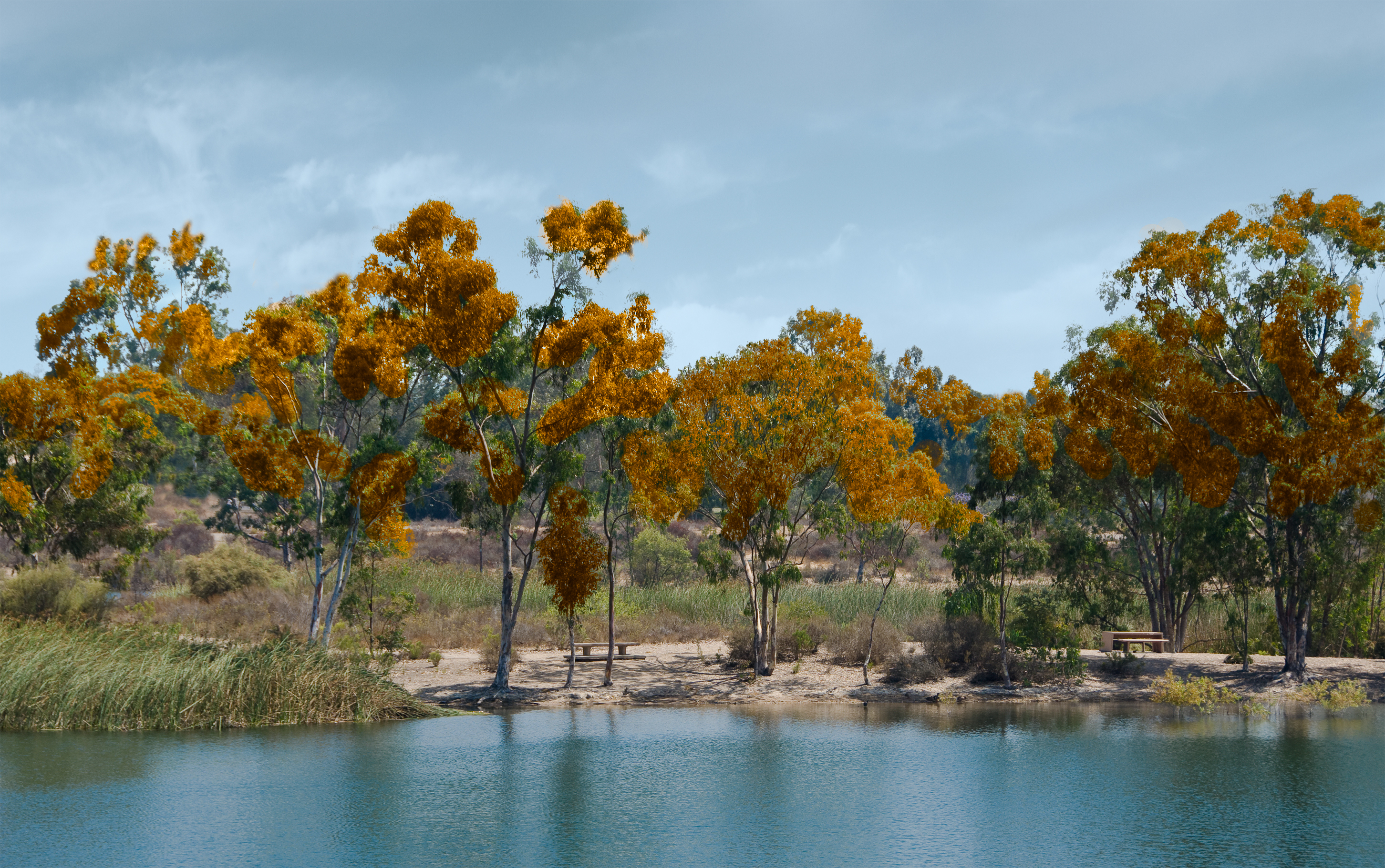
Trees Of Santee Lakes On A Morning With Clouds
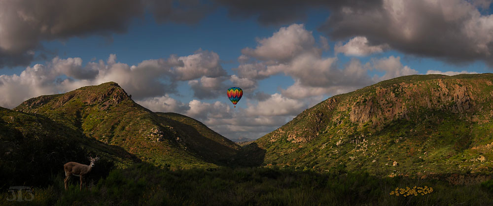
Mission Trails Valley
backyard view

Dodge Power Train
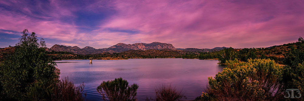
Lake Jennings

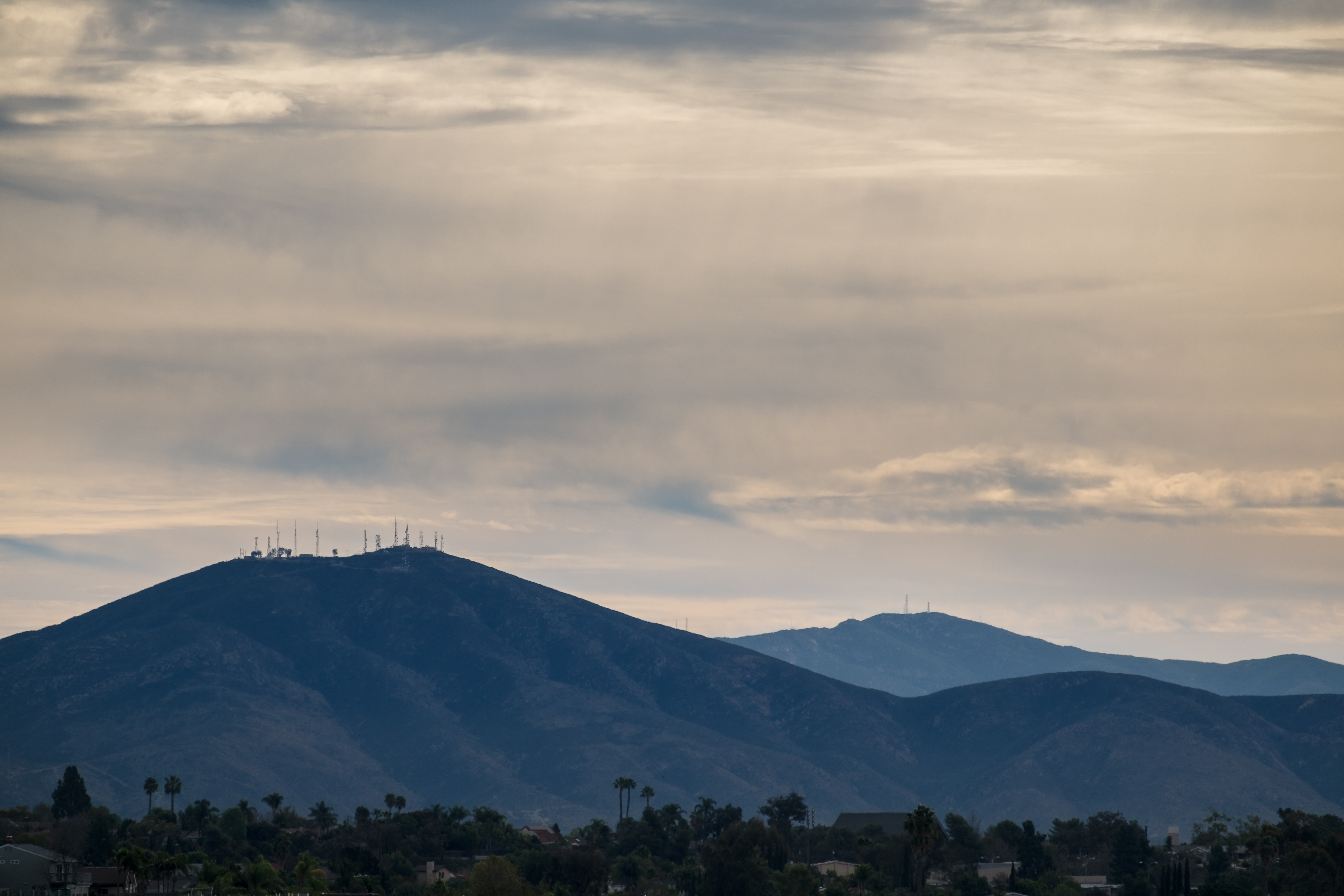
Mt. Helix
Purple Mountains

Cowles Sunrise
Another panoramic view from atop Blue Rock in Santee

Color and Textures

Family Time
PEDB20070713-050-Pano.jpg
PEDB20070713-054 as Smart Object-1 - LAB Color.jpg
PEDB20120703-057-Edit.jpg
PEDB20130306-026.jpg

PEDB20090818-019-Edit-3.jpg

PEDB20090217-010-Edit.jpg
Visitor Center Loop Trail - Mission Trails Park
PEDB20110719-011-Edit.jpg
Visitor Center Loop Trail - Mission Trails Park
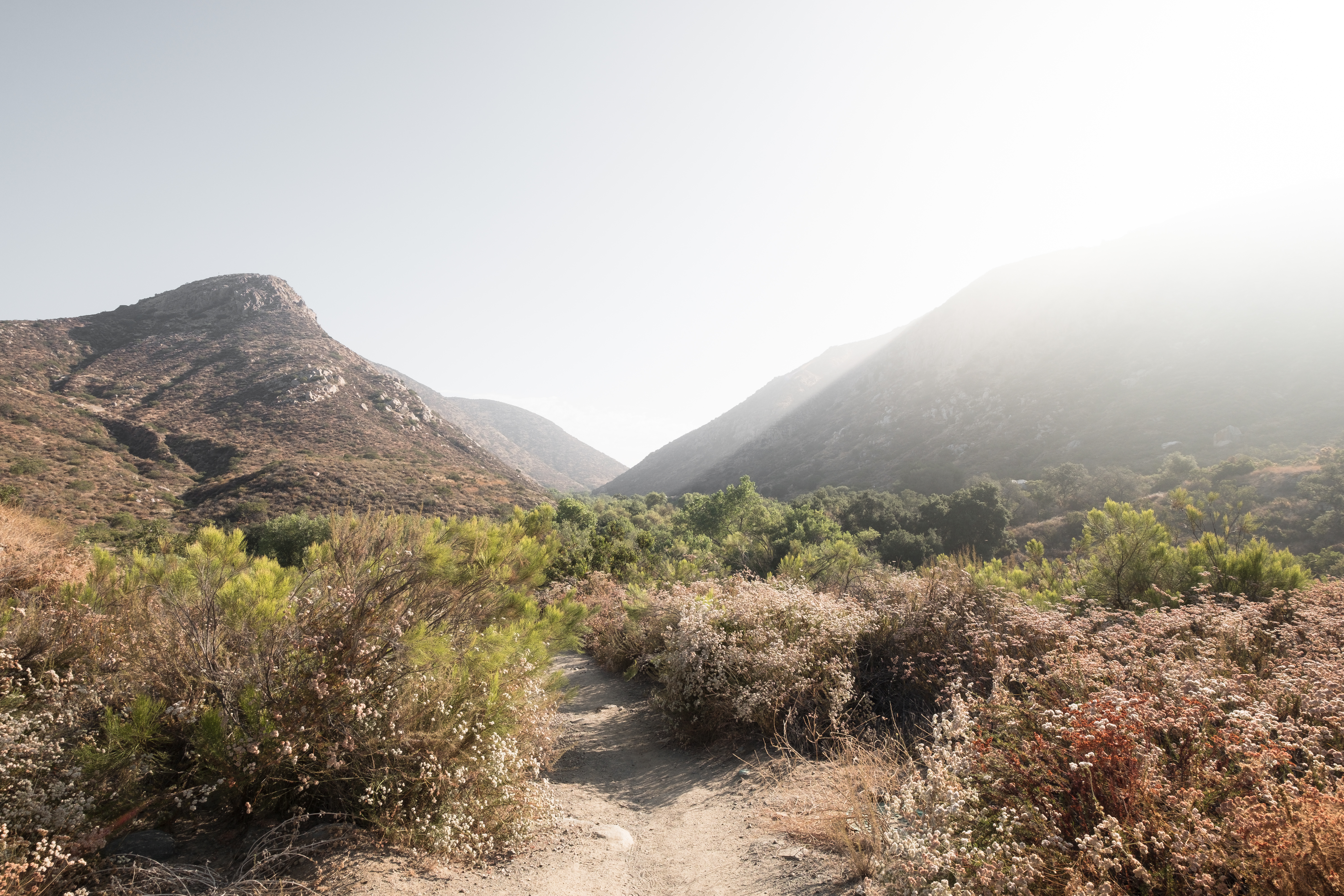
Oak Canyon Trail - Mission Trails Park

PEDB20140411-029.jpg

Visitor Center Loop Trail - Mission Trails Park
PEDB20120703-032-Edit-Edit.jpg
PEDB20160511-028.jpg
PEDB20090818-019-Edit-Edit.jpg
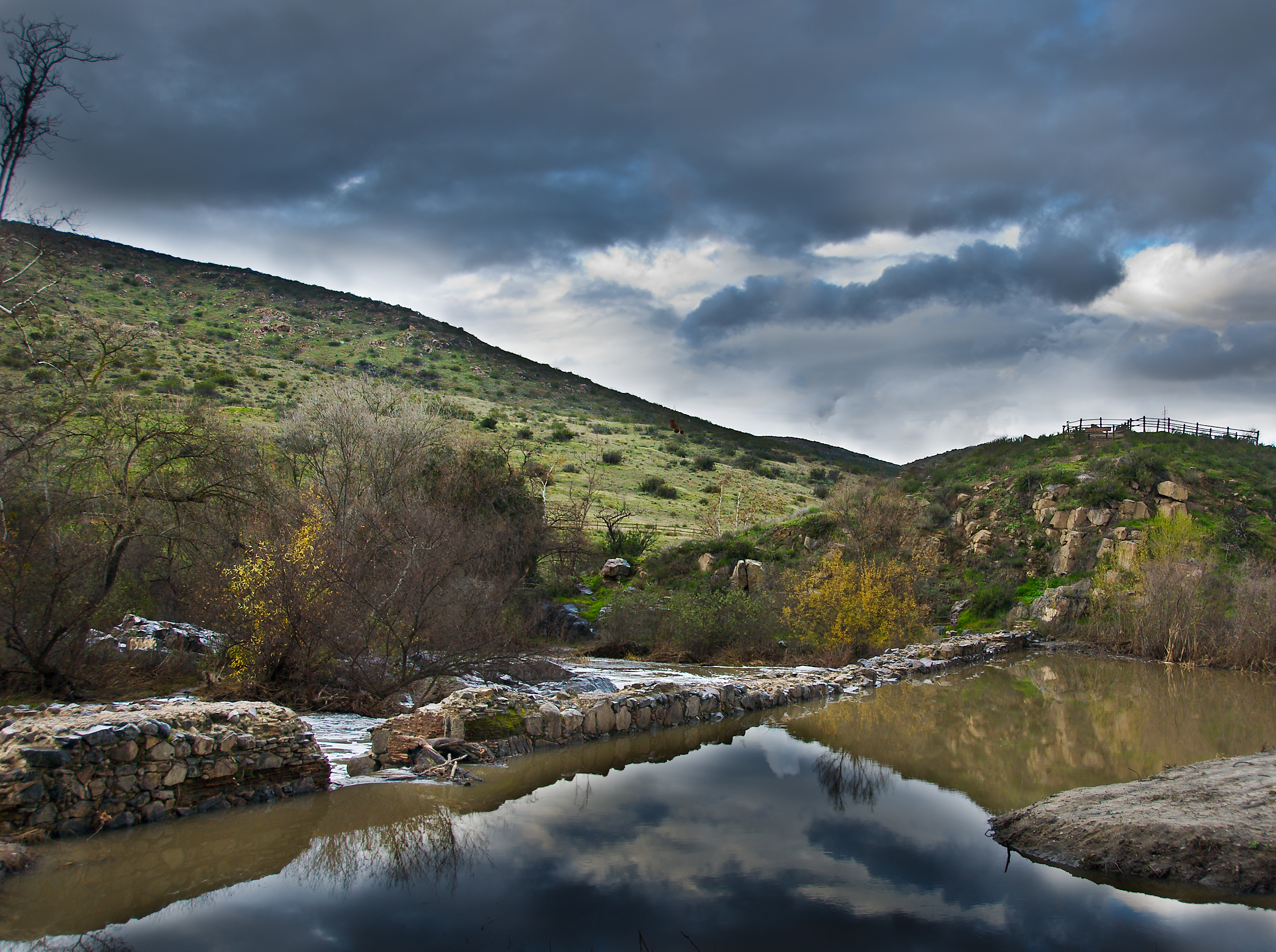
Father Junipero Serra Trail - Mission Trails Park
Mission Trails Park Visitor Center
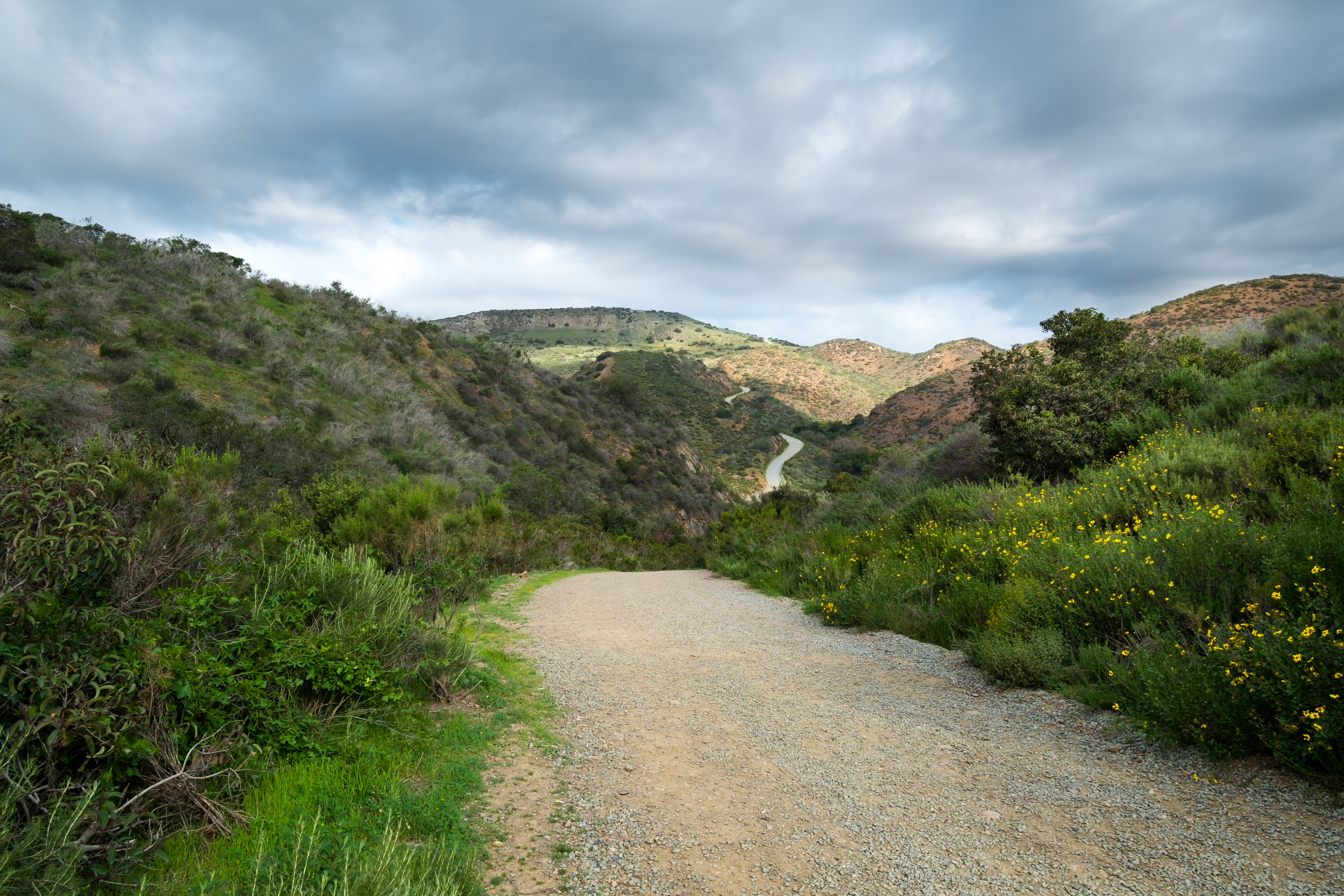
Visitor Center Loop Trail - Mission Trails Park
PEDB20170110-009.jpg

PEDB20150714-010-HDR.jpg
PEDB20140121-058.jpg
Topographic Map of Vista Grande Rd, El Cajon, CA, USA
Find elevation by address:

Places near Vista Grande Rd, El Cajon, CA, USA:
2027 Offy Ct
Avenida Ofelita
1537 Burris Dr
Vista Del Valle Blvd, El Cajon, CA, USA
1844 Grove Rd
12113 Via Antigua
Grove Road
1218 Buttonwood Ct
Steel Canyon Road
Rancho San Diego
Steele Canyon Golf Club
3150 Jamacha View Dr
3322 Rancho Miguel Rd
11621 Vernette Ct
Cuyamaca College
1444 Horizon Pointe
3007 Dehesa Rd
CA-94, Spring Valley, CA, USA
1276 Horizon Ridge
1606 E Madison Ave
Recent Searches:
- Elevation of Corso Fratelli Cairoli, 35, Macerata MC, Italy
- Elevation of Tallevast Rd, Sarasota, FL, USA
- Elevation of 4th St E, Sonoma, CA, USA
- Elevation of Black Hollow Rd, Pennsdale, PA, USA
- Elevation of Oakland Ave, Williamsport, PA, USA
- Elevation of Pedrógão Grande, Portugal
- Elevation of Klee Dr, Martinsburg, WV, USA
- Elevation of Via Roma, Pieranica CR, Italy
- Elevation of Tavkvetili Mountain, Georgia
- Elevation of Hartfords Bluff Cir, Mt Pleasant, SC, USA