Elevation of Via Antigua, El Cajon, CA, USA

Location: United States > California > San Diego County > El Cajon >

Longitude: -116.93376

Latitude: 32.7509326

Elevation: 125m / 410feet

Barometric Pressure: 100KPa

Elevation Map:

elevation map of Via Antigua, El Cajon, CA, USA

Satellite Map:

Satellite map of Via Antigua, El Cajon, CA, USA

Related Photos:

city mthelix night sandiego
Hazy evening in San Diego
bridge blue sunset red sky urban orange mountain nature bike bicycle cycling highway rocks cyclist view traffic path watching shortcut mountainbike rocky overpass canyon downhill trail biking mtb bicyclist rushhour rider berm hdr 52 missiontrails marzocchi response hardtail canari diamondback lowepro kenda bikeroute bikerider mtbike fastpack redbike topeak onbikes platinumphoto savegasrideabike savegasrideyourbike addidasberms mtfortuna
Trail or Traffic
trees water niceshot shapes highcontrast foliage infrared southerncalifornia sunflare santee santeelakes platinumheartaward
Santee Lakes on the Winter Solstice With Sun Flare - Infrared
elcajon neon sign zoom blur motion longexposure lights cityscape sandiego california night abstract trail dark light city effect illustration speed color traffic blue dusk sky exposure movement samantoniophotography
El Cajon to the third power!
california mountain night rocks view unitedstates suburban boulders vista santee bluerock pwpartlycloudy
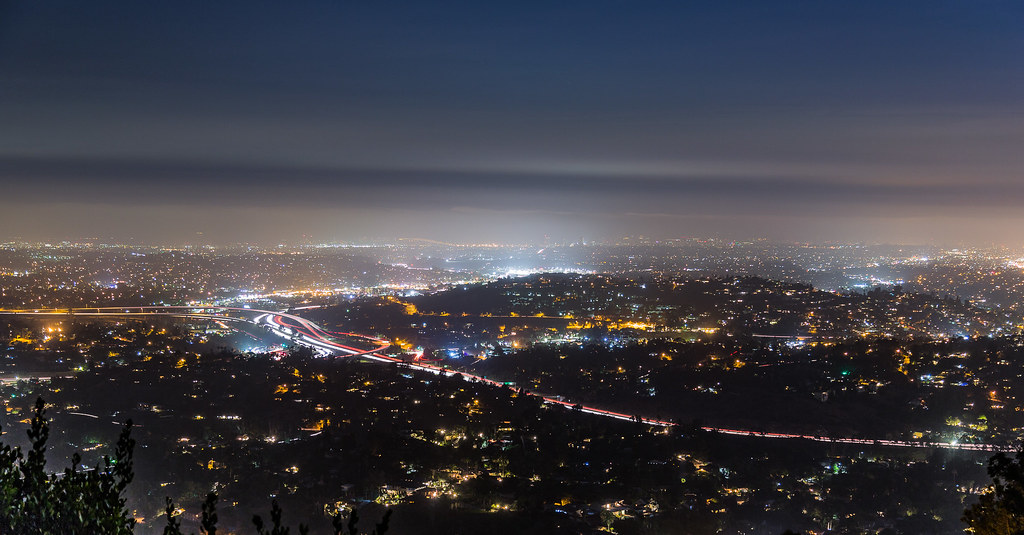
Rocks atop a mountain at night.
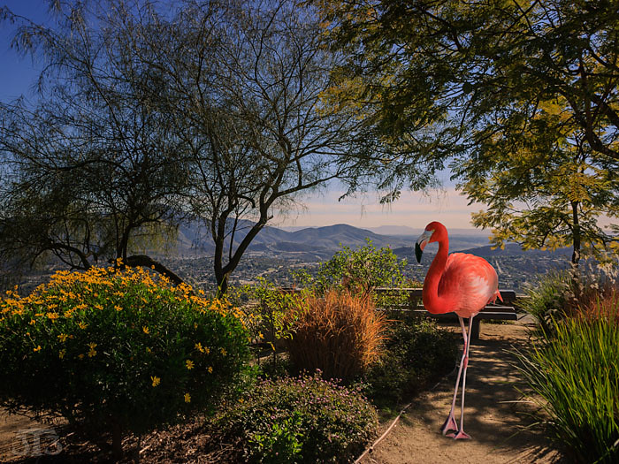
flamingo trees plants park view mountains mounthelix lamesa sandiego california usa composite
Fiona Flamingo
mountains clouds valley deer hotairballoon shrubs flowers park missiontrails santee sandiego california usa composite
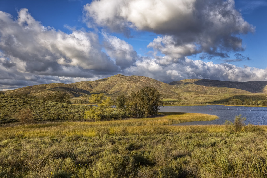
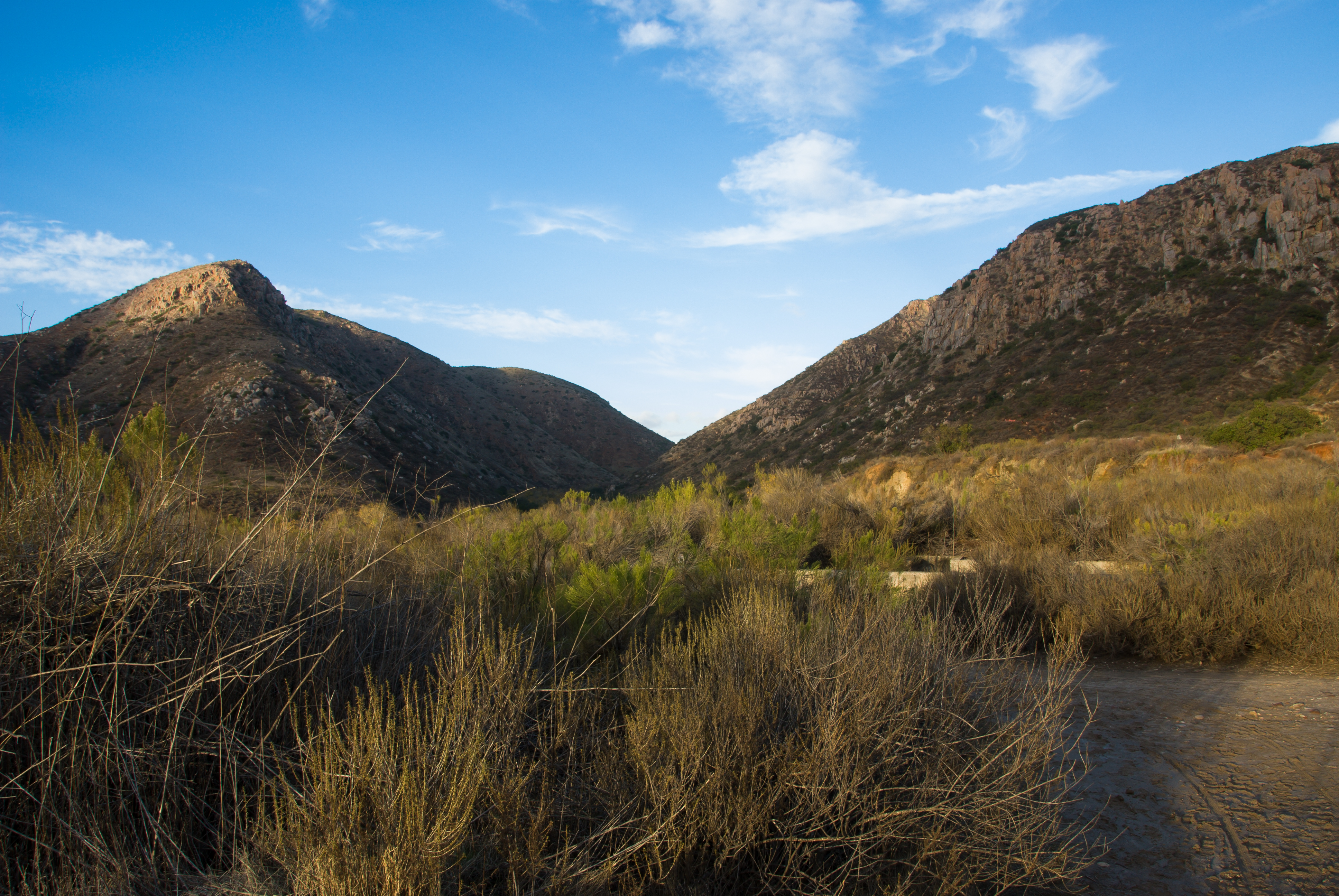
Mission Trails Valley
santeelakes table water sky clouds nature polarizer ir infrared infraredphotography convertedinfraredcamera composition
Table With A View
orange color macro yellow gold leaf colorful fallcolors patterns details autumncolors veins backlit softbox backlighting macrolens macrophotography offcameraflash strobist fruitlessmulberry yn560 yongnuorf603ntrigger
Mulberry Leaf Patterns
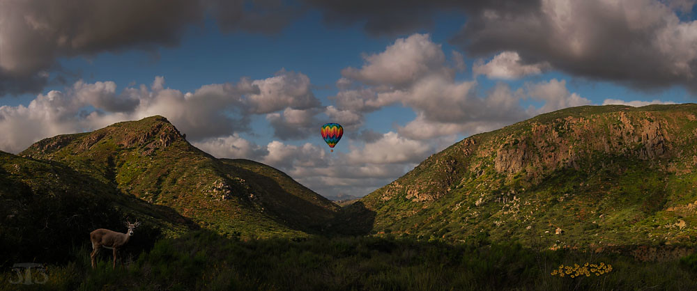
california lake mountains texture nature water golden dry reservoir plus 100 arid californiadreamin chulavista naturethroughthelens skeletalmess
California Dreamin'
california slr bird nature birds fauna photography nikon image sandiego feeding hawk wildlife stock sigma lamesa raptor prey dslr redtailed predator avian birdofprey chickenhawk missiontrails buteojamaicensis dx d60 regionalpark naturesfinest lakemurray avianexcellence 150500mm rubyphotographer slbfeeding thewonderfulworldofbirds nickchill
Red-Tailed Hawk Feeding
ocean california sunset panorama composite night clouds print landscape mexico photography lights nikon pacific image sandiego fineart border stock scenic lamesa westcoast cowlesmountain dx pointloma highestpoint lakemurray missiontrailsregionalpark d90 eastcounty 7images nickchill
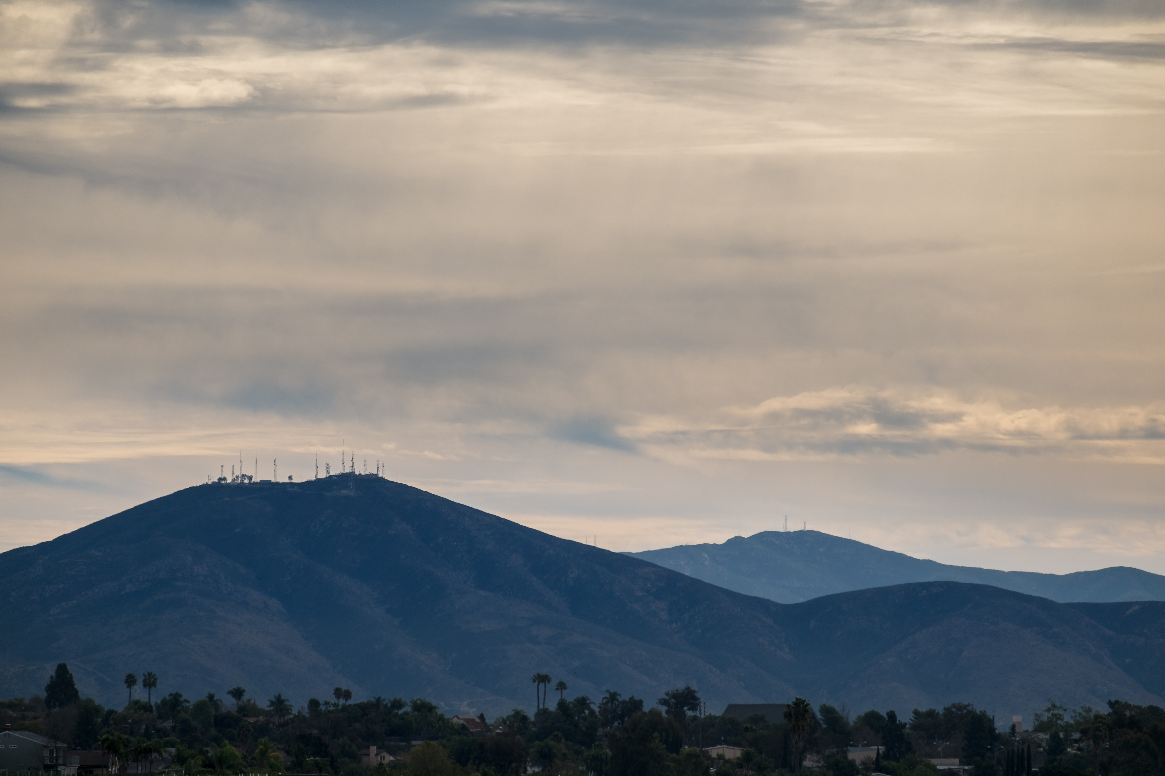
Cowles Mountain Sunset
deer deergrazing damonlane damonlanecountypark mthelix mounthelix fuertefarms metalart
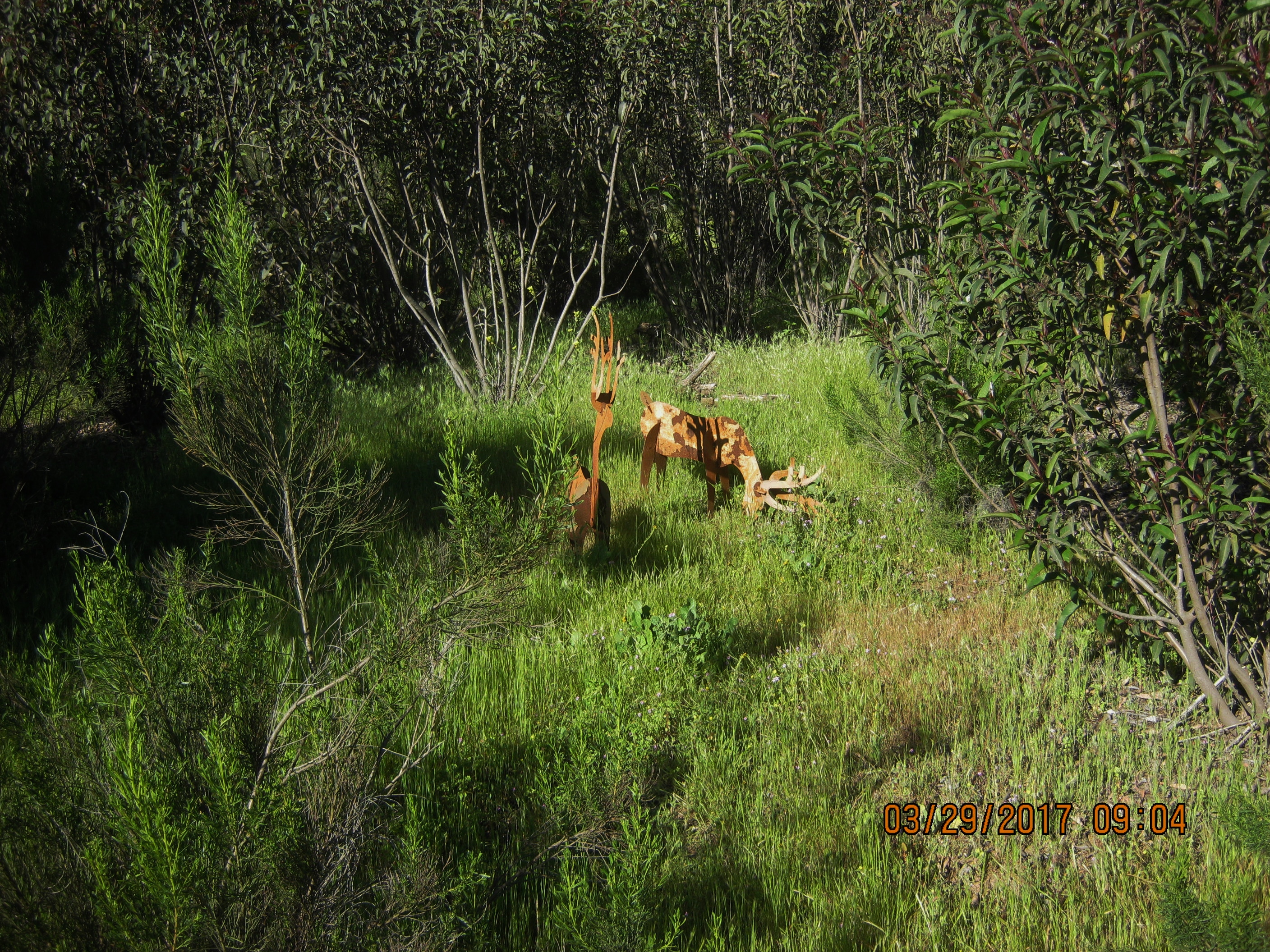
Deer may safely graze in Damon Lane Co. Park 3-29-17 (FOR A CLOSER VIEW RIGHT CLICK ON THE IMAGE)
california rocks view unitedstates boulders nighttime vista santee bluerock
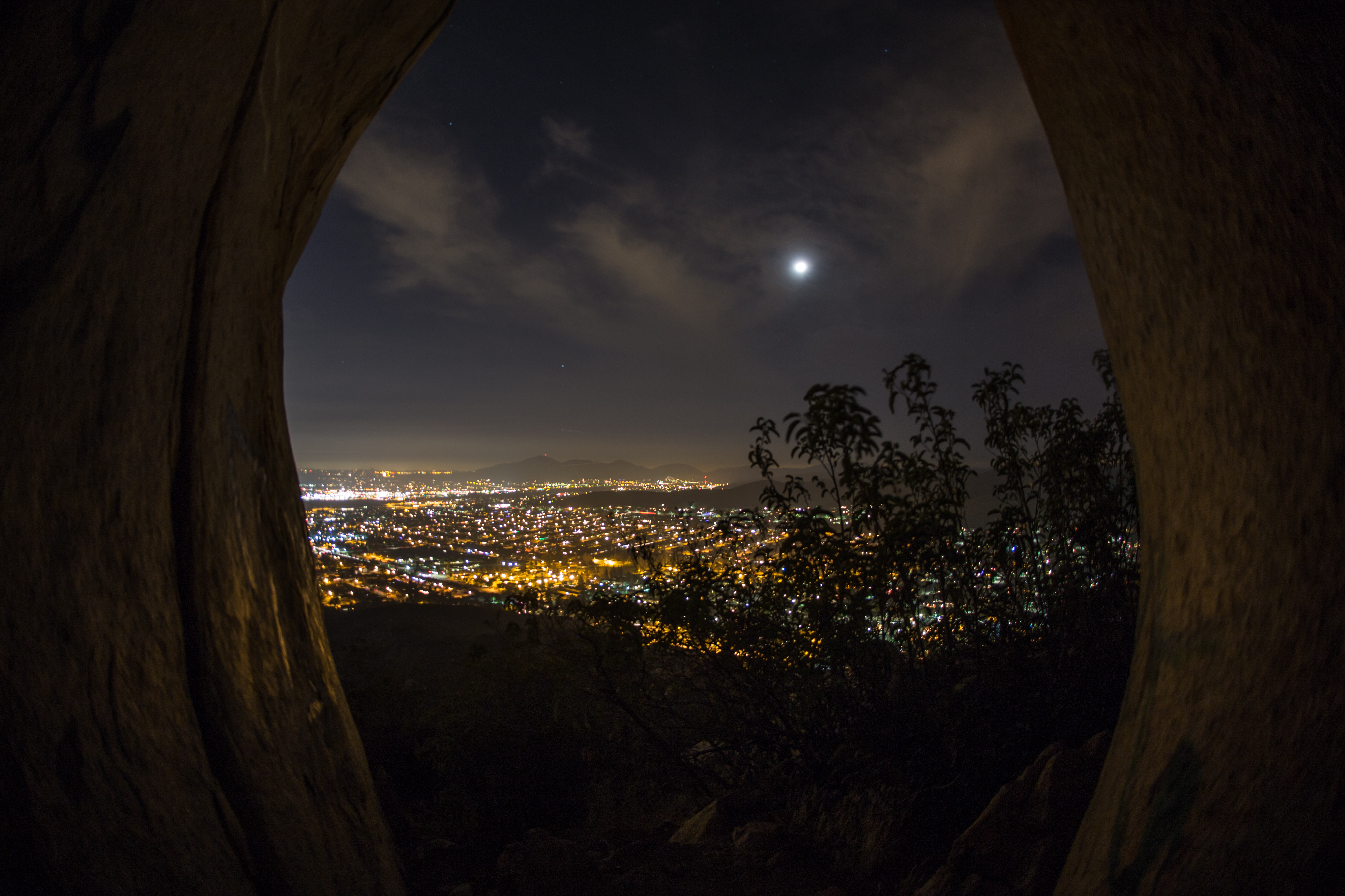
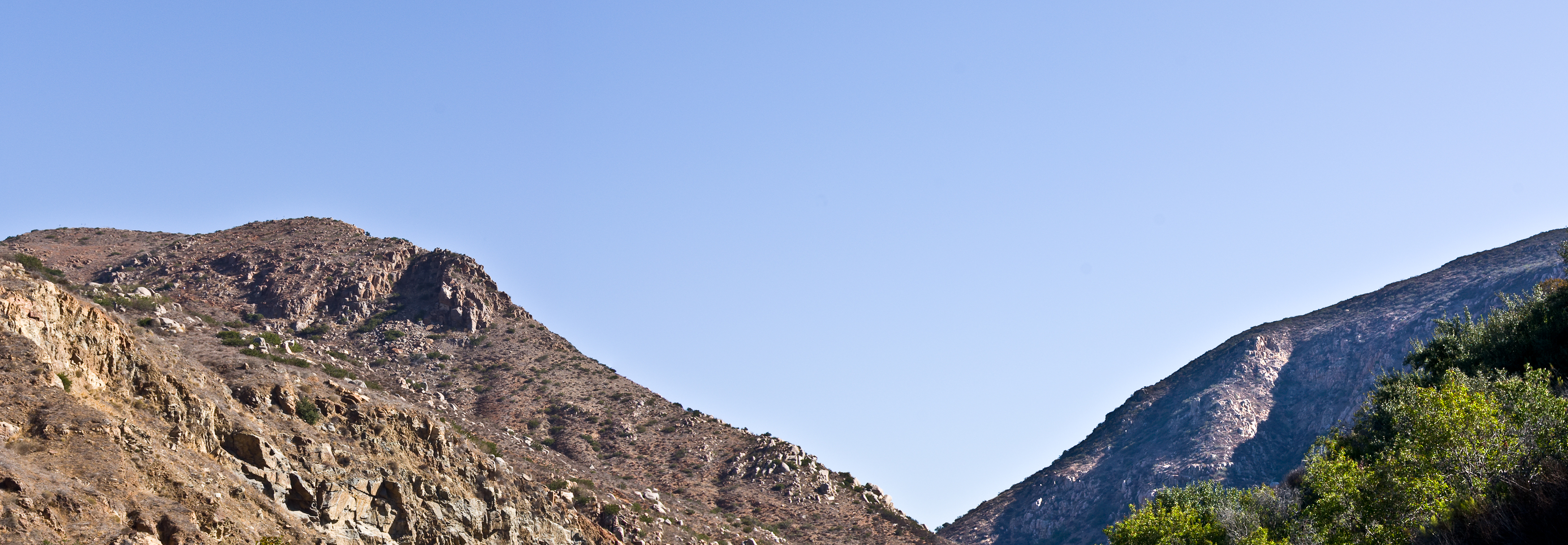
Peeking through an opening between two big rocks.
california park ca travel sunset mountain view unitedstates sandiego lamesa mount mthelix
View from Mt. Helix
sunset sky people sunlight sexy nature beauty silhouette sport horizontal female clouds standing outdoors photography freedom togetherness model women slim adult sandiego hiking horizon fulllength tranquility happiness bodybuilding beautifulwomen heat attractive northamerica balance strength holdinghands southerncalifornia sensuality sideview fitness youngadult vacations enjoyment adultsonly cowlesmountain confidence contemplation lifestyles aspirations tranquilscene weighttraining femaleform vitality casualclothing traveldestinations colorimage moodysky sandiegocalifornia gettingcloser beautyinnature yogapants sunsetsilhouette gettingawayfromitall fitnessmodel modelphotography womansilhouette femalefitness onlywomen fitwomen appleiphone muscularbuild humanbodypart hikingcowlesmountain highestpeakinsandiego sandiegoactivities
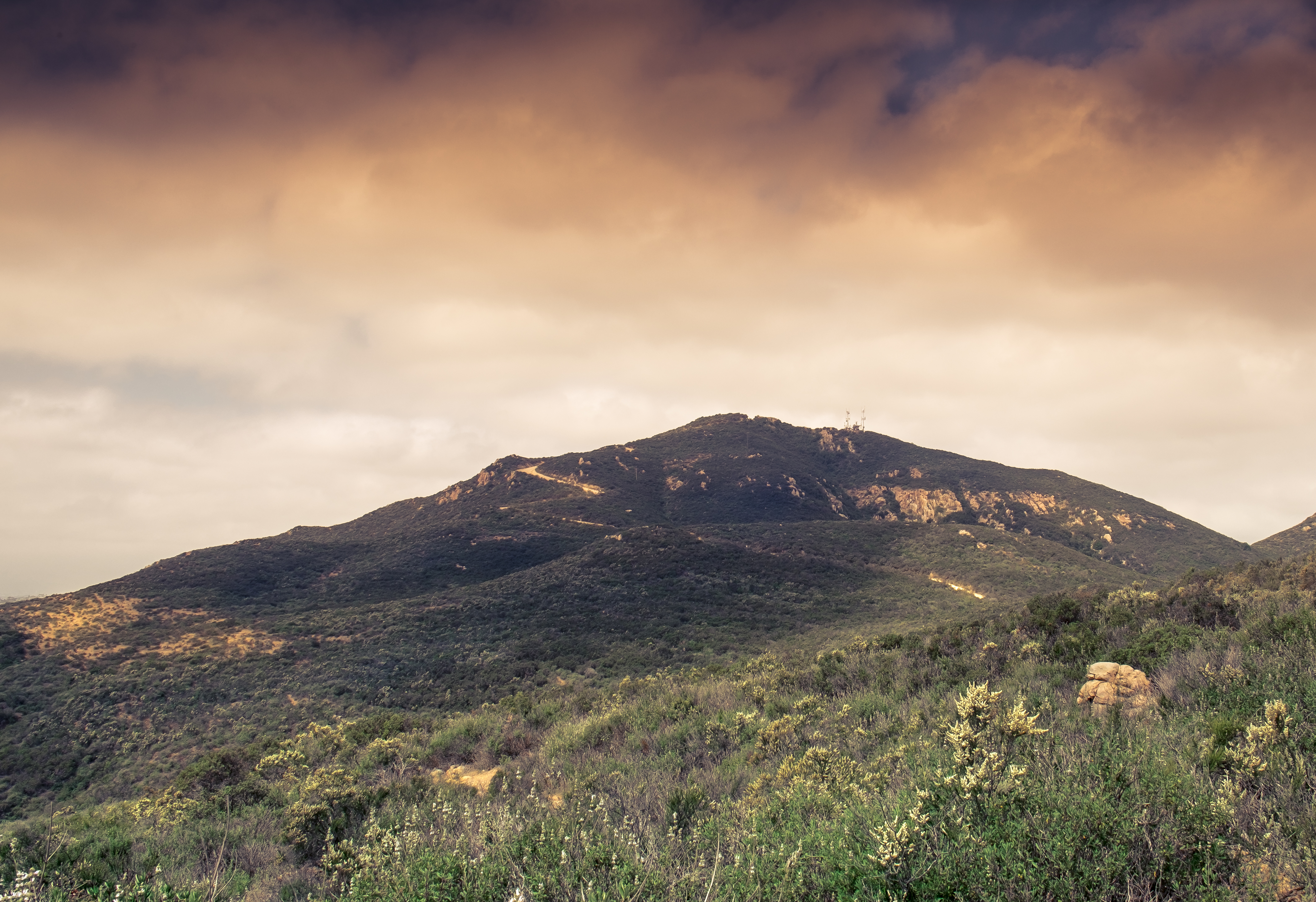
Summit Silhouette at Cowles Mountain – San Diego, California
ir infrared infraredphotography nature naturalbeauty highcontrast convertedinfraredcamera lindolake lakeside sky clouds water composition
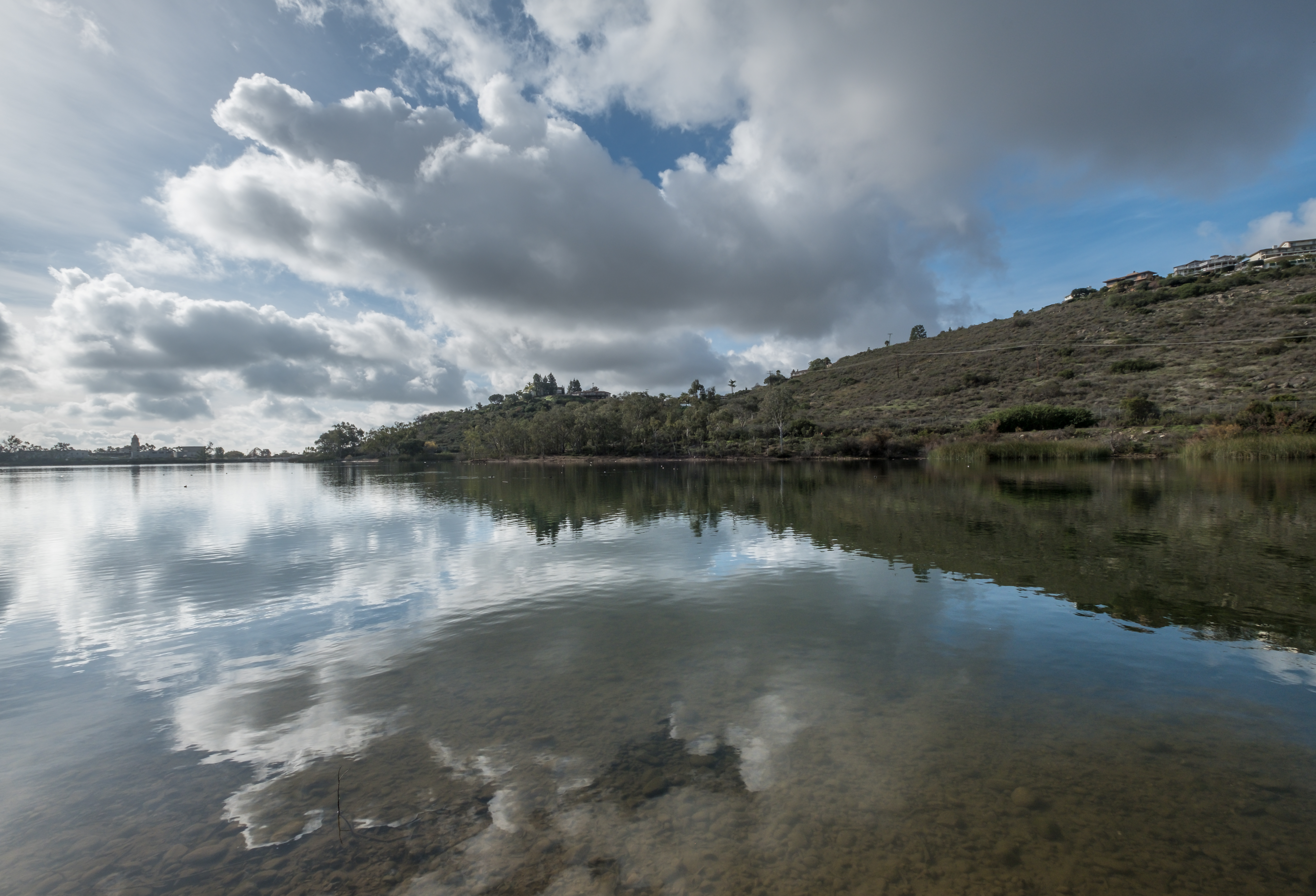
View From The Shore Line At Lindo Lake
california white slr birds fauna photography wings nikon image sandiego wildlife stock flight dslr egret birdwatching wading snowyegret missiontrails singlelensreflex bif dx birdwatcher naturephotography shorebirds d60 egrettathula regionalpark naturesfinest lakemurray birdphotography wildlifenorthamerica wildlifephotography inspiredbylove wildlifephotos natureimages specanimal avianexcellence windsandandwater brillianteyejewel thewonderfulworldofbirds nickchill neighborhoodnw09
Delicate Dance (Egretta Thula), Snowy Egret
california trip flowers trees vacation sky lake mountains southwest detail water beautiful grass weather clouds composition rural photoshop canon reeds landscape interestingness spring high nice interesting fishing bush exposure flickr quiet different view place dynamic sandiego superb wind hiking unique air iii tripod relaxing scenic peaceful atmosphere calm canyon sharp explore upper adobe definition 5d shrub capture grassland range thunder hdr rollinghills wetland chulavista 1635 photomatix bracketed ef1635mmf28l traveldestination cs5 mountmiguel canoneos5dmarkii arcoolympictrainingcenter lowerotayreservoir
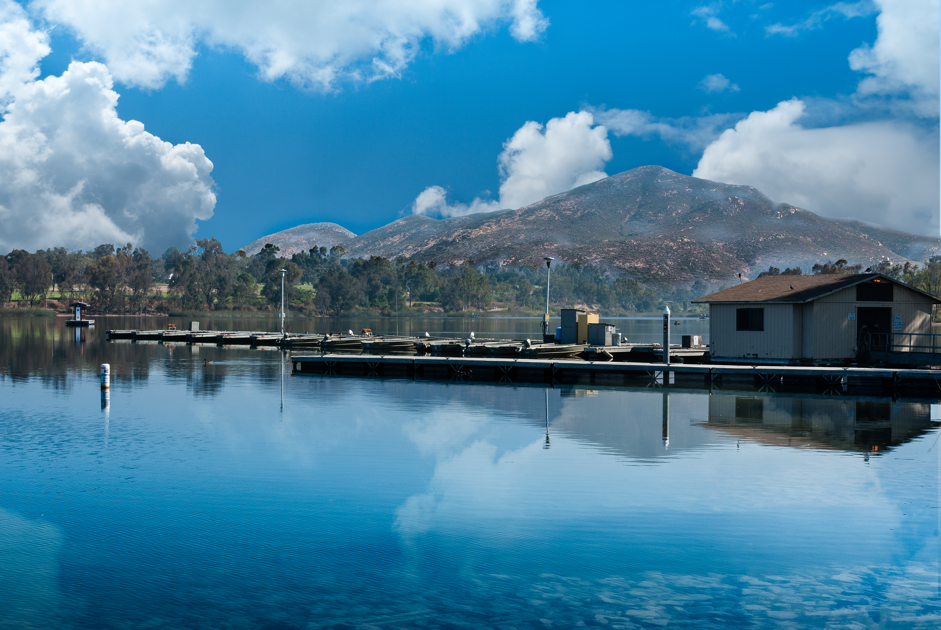
Lower Otay Reservoir
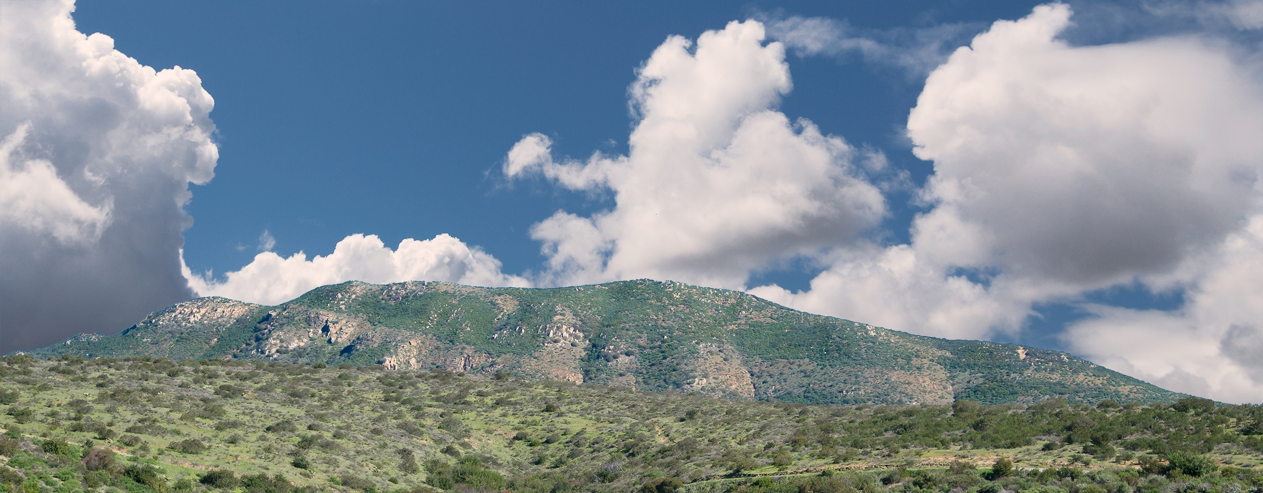
california trees panorama usa cloud mountain lake big sandiego lakeside crow lindolake
Mega Cloud
park trees sky nature water highcontrast surreal infrared soe otherworldly santeelakes platinumheartaward
Saturday In The Park - Infrared
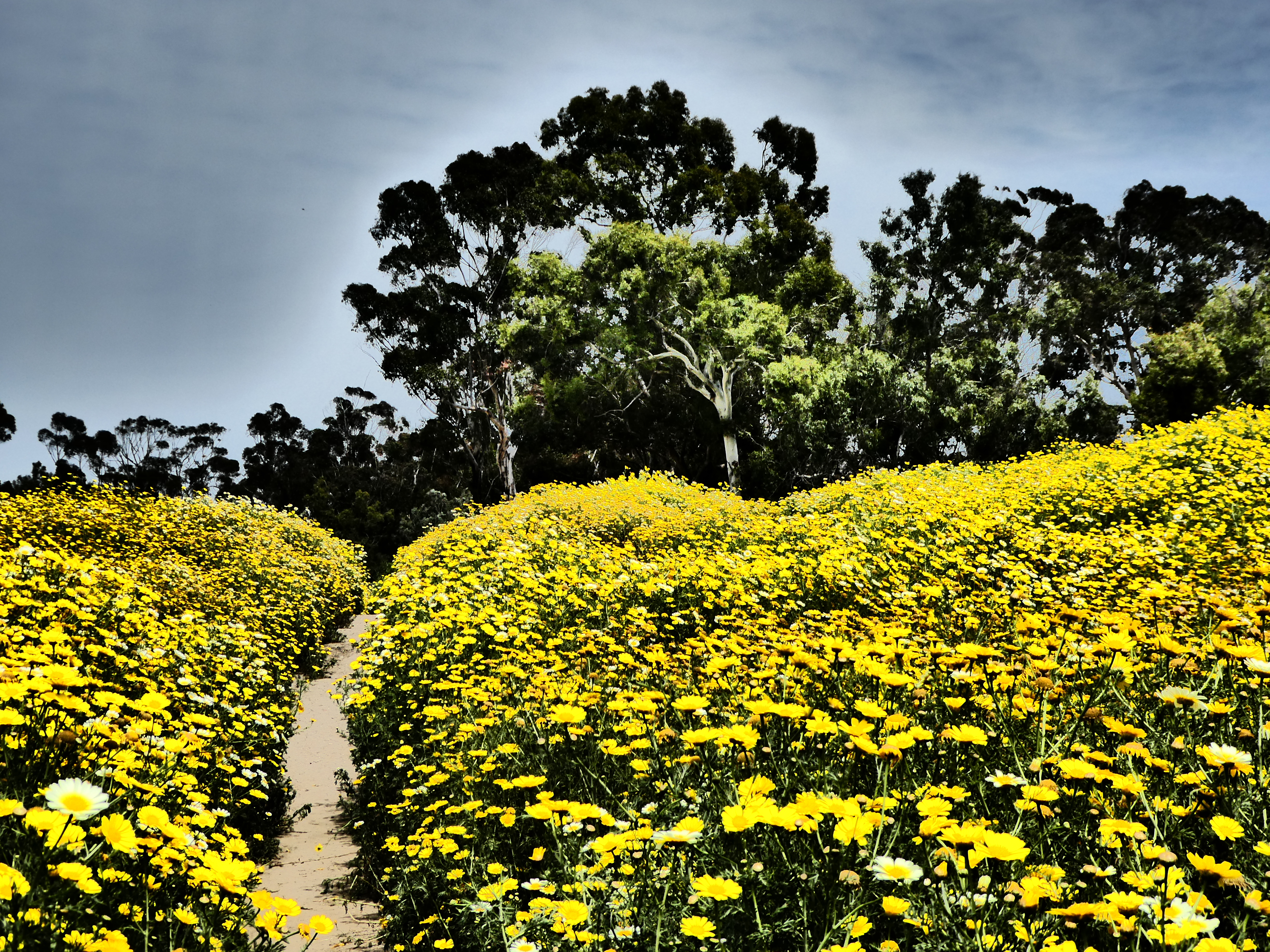
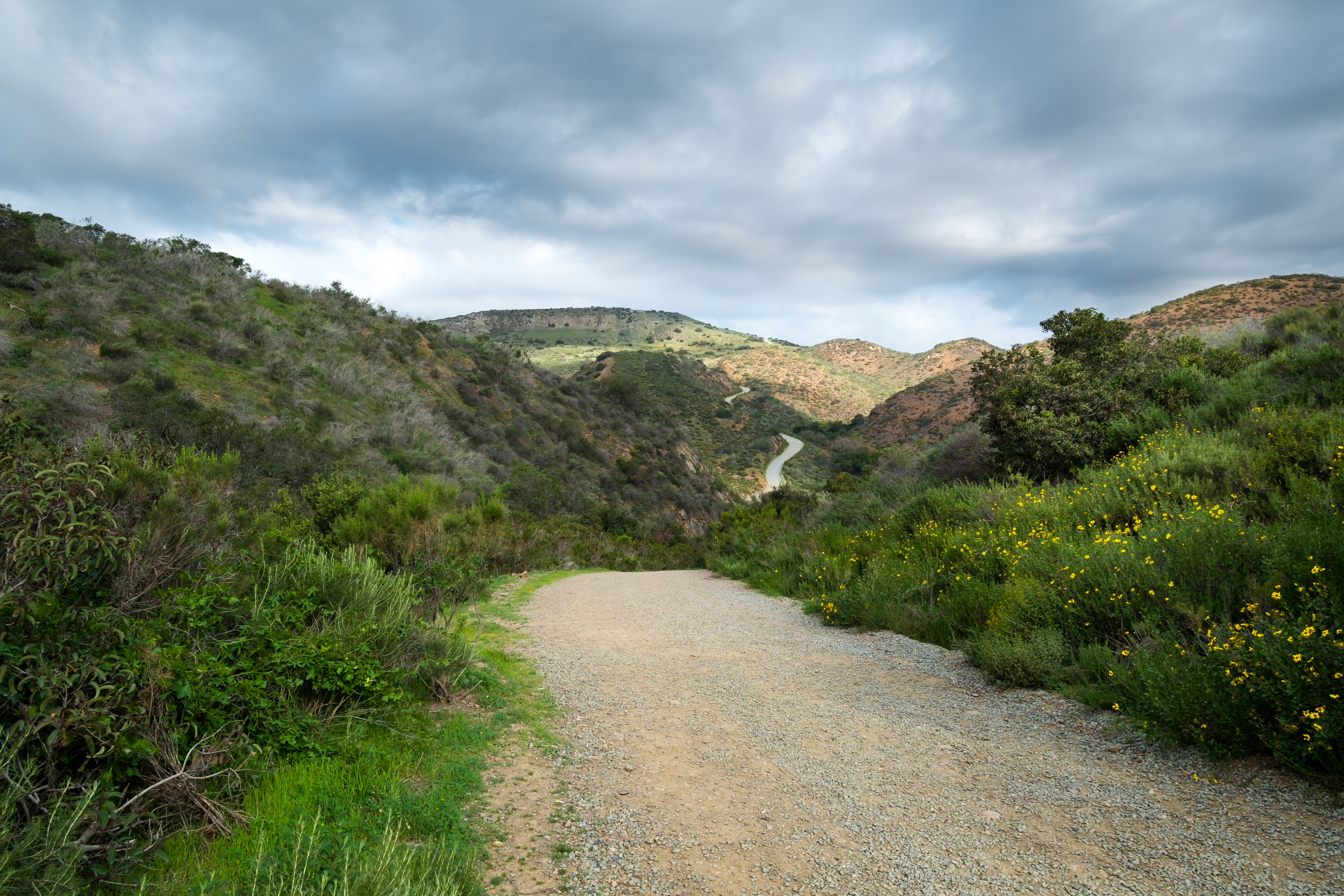
wildflower superbloom
On The Right Path
iphone iphonephotos southfortunamountain 20141109missiontrails trail category gorge visitorcenterlooptrail sandiego 92071 unitedstates geological implement event mountain
Visitor Center Loop Trail - Mission Trails Park
lkmrry tree 20090818lakemurray water photoouting category lake cowlespoint hike sandiego 92119 unitedstates geological place event plantae abbreviationforplace biological
PEDB20090818-019-Edit-3.jpg
lkmrry hike pier photoouting category lake water cowlesmountain 20110719lakemurray sandiego 92119 unitedstates place geological event abbreviationforplace infrastructure mountain
PEDB20110719-011-Edit.jpg
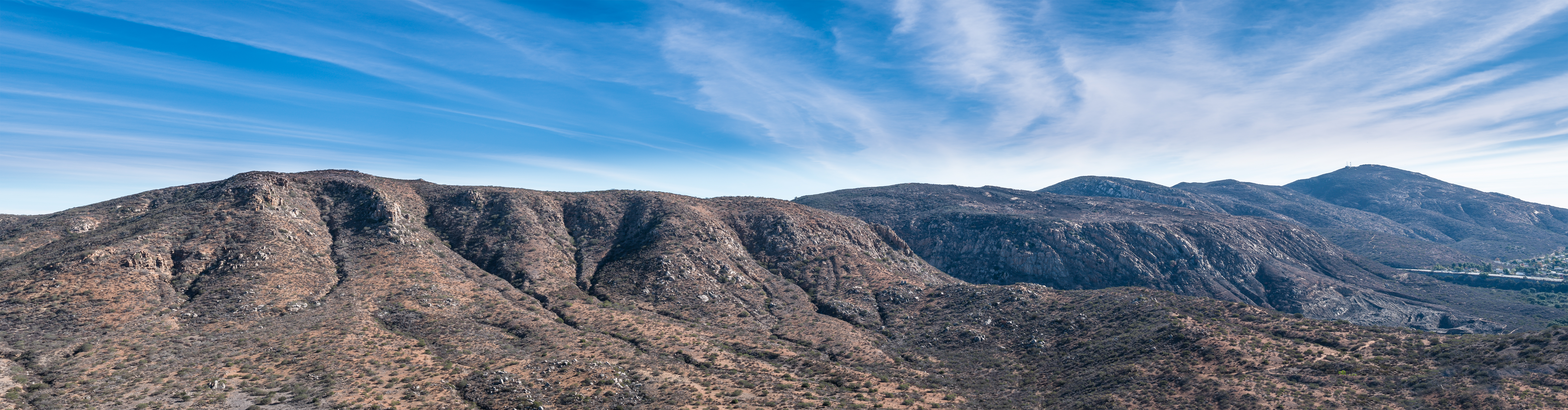
frsd hike tags quarrylooptrial frtnsddl qrrlp panoramio people trail events category fortunasaddletrail photoouting 20130514missiontrails mountain man woman sandiego 92071 unitedstates place photographyprocedure abbreviationforplace male biological animalia geological event homosapien female artwork gender quarrylooptrail
Mission Trails Park
lkmrry hike reflection cloud photoouting 20170110lakemurray category lake water notripod mountain sandiego 92119 unitedstates place photographyprocedure abbreviationforplace geological event sky artwork
PEDB20170110-009.jpg
hike visitorcenterlooptrail panoramio photoouting trail category mountain 20150227missiontrails sandiego 92071 unitedstates geological event artwork photographyprocedure
Visitor Center Loop Trail - Mission Trails Park
hike visitorcenterlooptrail photoouting trail category 20110917missiontrailsvisitorstrail composition mountain fence sandiego california unitedstates us geological event artwork photographyprocedure infrastructure
Visitor Center Loop Trail - Mission Trails Park
hdr tree photoouting category fatherjuniperoserratrail hike 20121023missiontrails mountain sandiego 92071 unitedstates artwork geological event plantae trail photographyprocedure biological
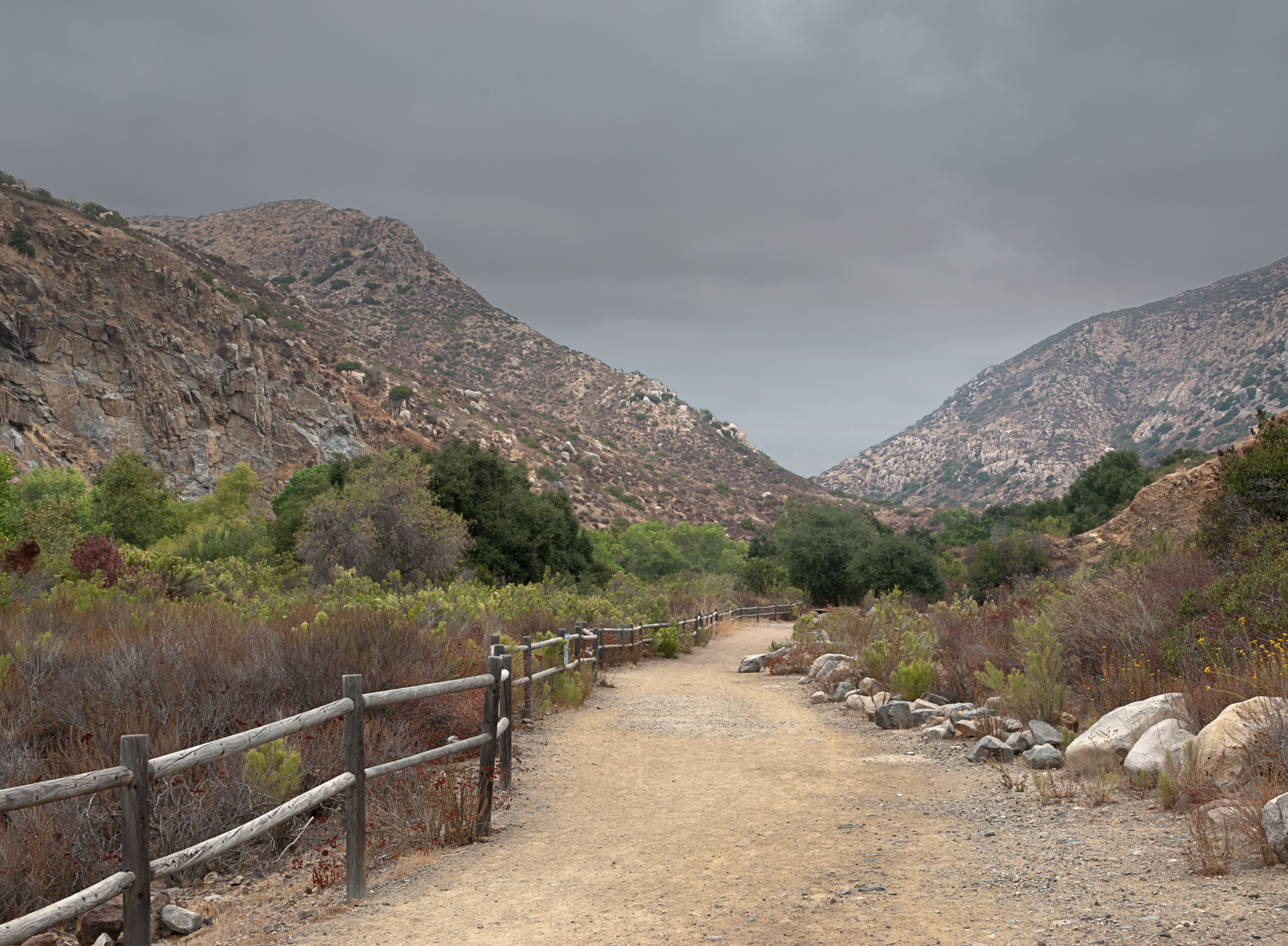
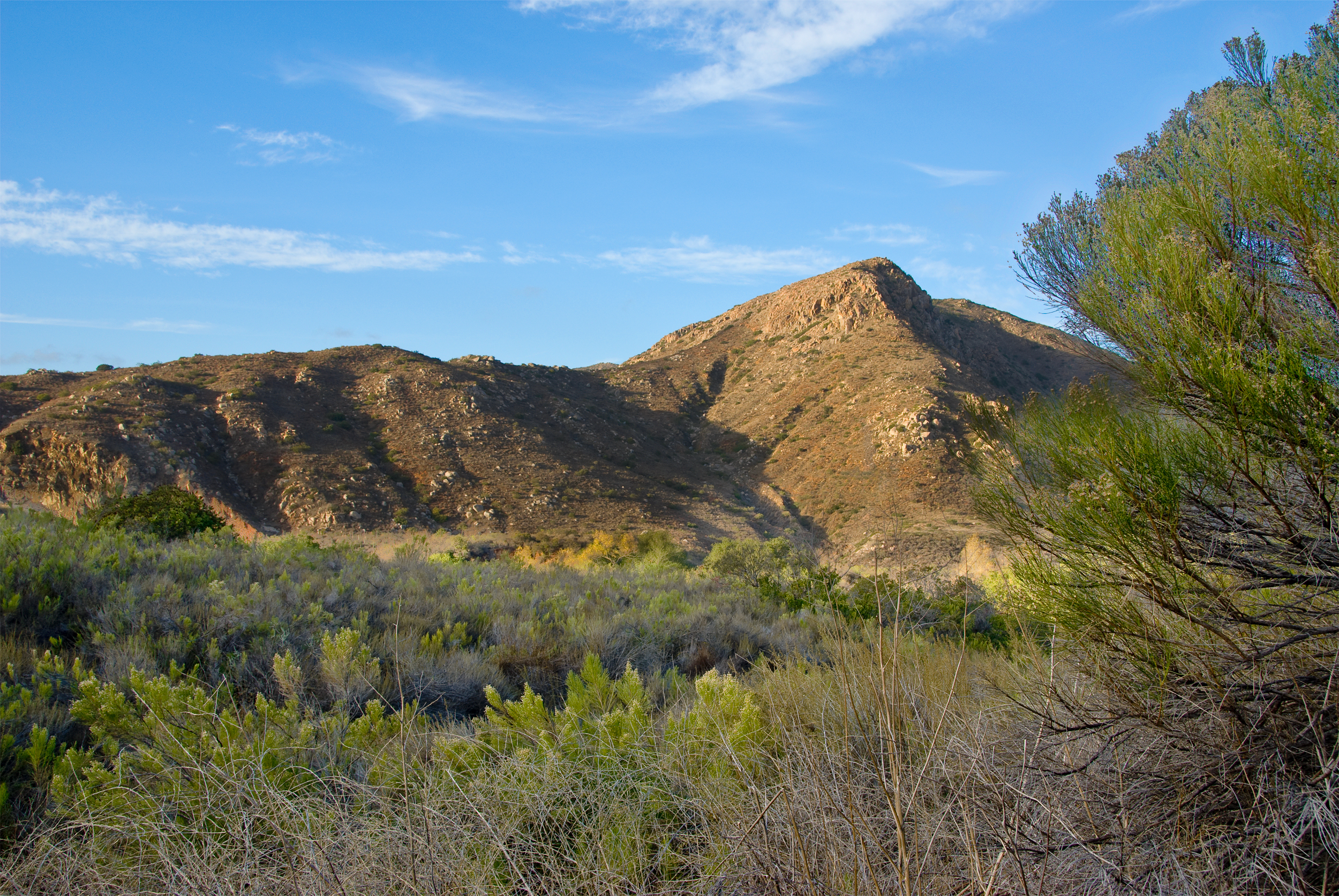
Father Junipero Serra Trail - Mission Trails Park
photoouting category 20091213missiontrails visitorcenterlooptrail hike mountain sandiego 92071 unitedstates geological event trail
Visitor Center Loop Trail - Mission Trails Park
qrrlp hike 20140121missiontrails photoouting category sanmiguelmountain mountain sandiego 92071 unitedstates place geological event trail quarrylooptrail abbreviationforplace
PEDB20140121-058.jpg
hike 20130429missiontrails bgrcktrl geological event panoramio photoouting place abbreviationforplace artwork photographyprocedure category cowlesmountain mountain sandiego 92071 unitedstates
Mission Trails Park
rock hike visitorcenterlooptrail photoouting 20071006missiontrailsvisitorlooptrail category composition mountain sandiego 92071 unitedstates geological event trail artwork photographyprocedure
Visitor Center Loop Trail - Mission Trails Park
hike 20141118missiontrails sandiegorivertrail photoouting fortunasaddletrail category panorama sdrt cowlesmountain mountain sandiego 92071 unitedstates place frtnsddl photographyprocedure abbreviationforplace geological event trail artwork
Mission Trails Park
hike place 20141111missiontrails geological event panoramio photoouting bgrcktrl category elcapitansandiego photographyprocedure artwork abbreviationforplace mountain sandiego 92071 unitedstates
Mission Trails Park
prmtrtrl pylespeak hike tags perimetertrail sprngcnyn springcanyon photoouting trail events category kwaaypaaypeak 20150210missiontrails gorge mountain sandiego 92071 unitedstates place abbreviationforplace geological event
PEDB20150210-039.jpg
place category hike infrastructure 20141111missiontrails geological event panoramio photoouting dirtroad bgrcktrl artwork photographyprocedure trail abbreviationforplace mountain sandiego 92071 unitedstates
Mission Trails Park
fatherjuniperoserratrail hike 20091213missiontrails visitorcenterlooptrail photoouting category mountain sandiego 92071 unitedstates geological event trail
Visitor Center Loop Trail - Mission Trails Park
lkmrry hdr hike infrastructure place category event implement photoouting trail trekpod artwork photographyprocedure path abbreviationforplace 20150714lakemurray sandiego 92119 unitedstates
PEDB20150714-010-HDR.jpg
fortunaserviceroad hike composition place panoramio category photographyprocedure abbreviationforplace wstfrtnsrvcrd westfortunaserviceroad event photoouting trail 20130222missiontrails artwork fortunamountain infrastructure sandiego 92071 unitedstates
PEDB20130222-018-Edit.jpg