Elevation of Villavieja, Huila, Colombia
Location: Colombia > Huila >
Longitude: -75.21756
Latitude: 3.218357
Elevation: 387m / 1270feet
Barometric Pressure: 0KPa
Related Photos:

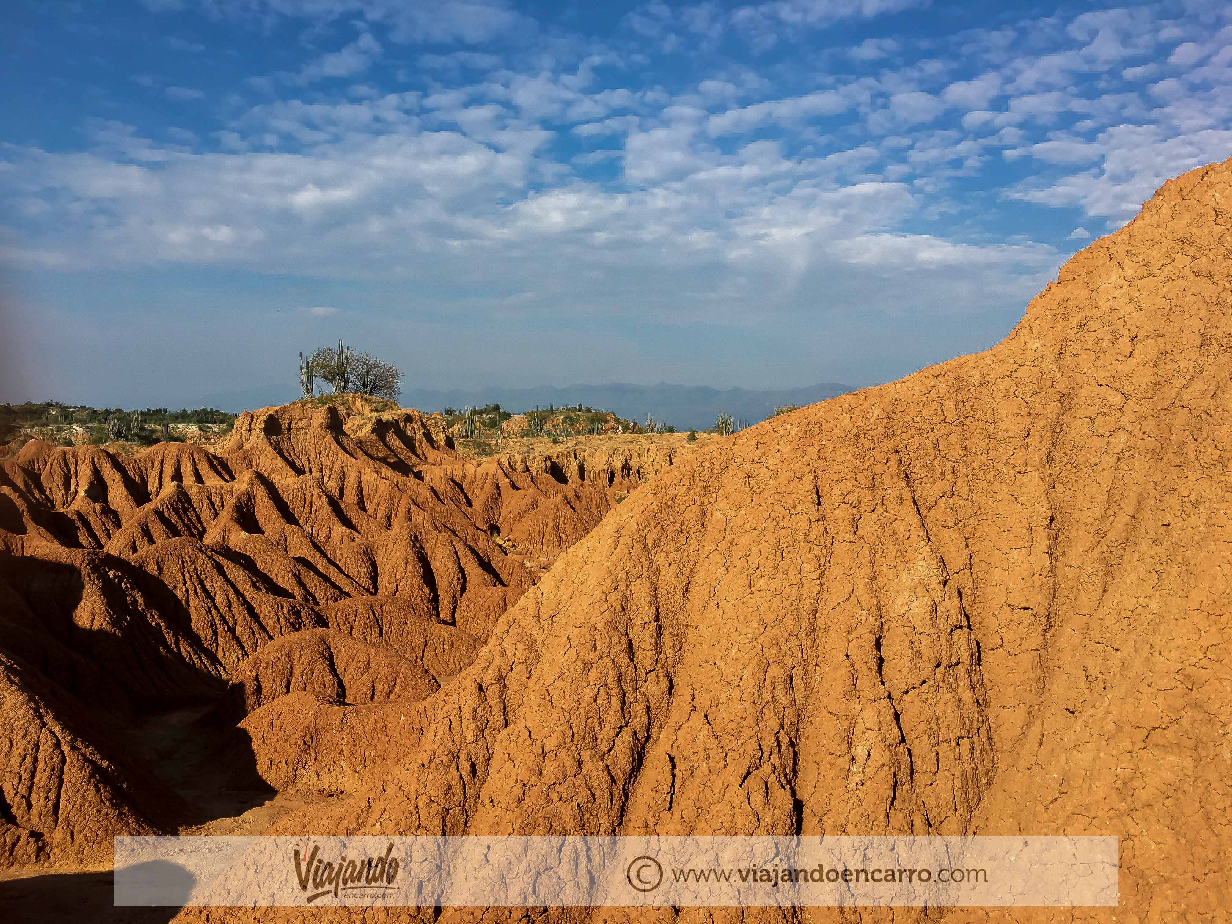
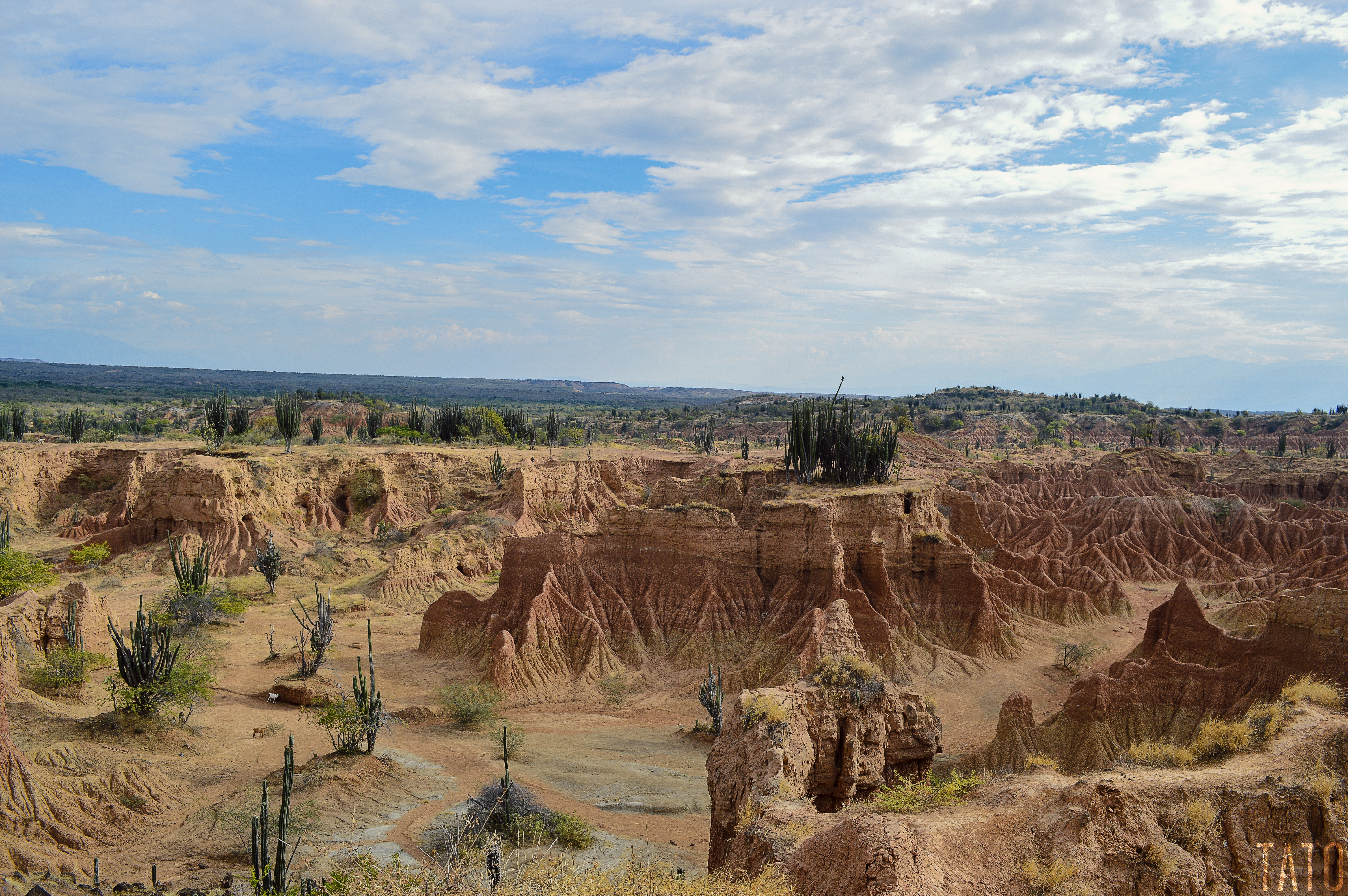
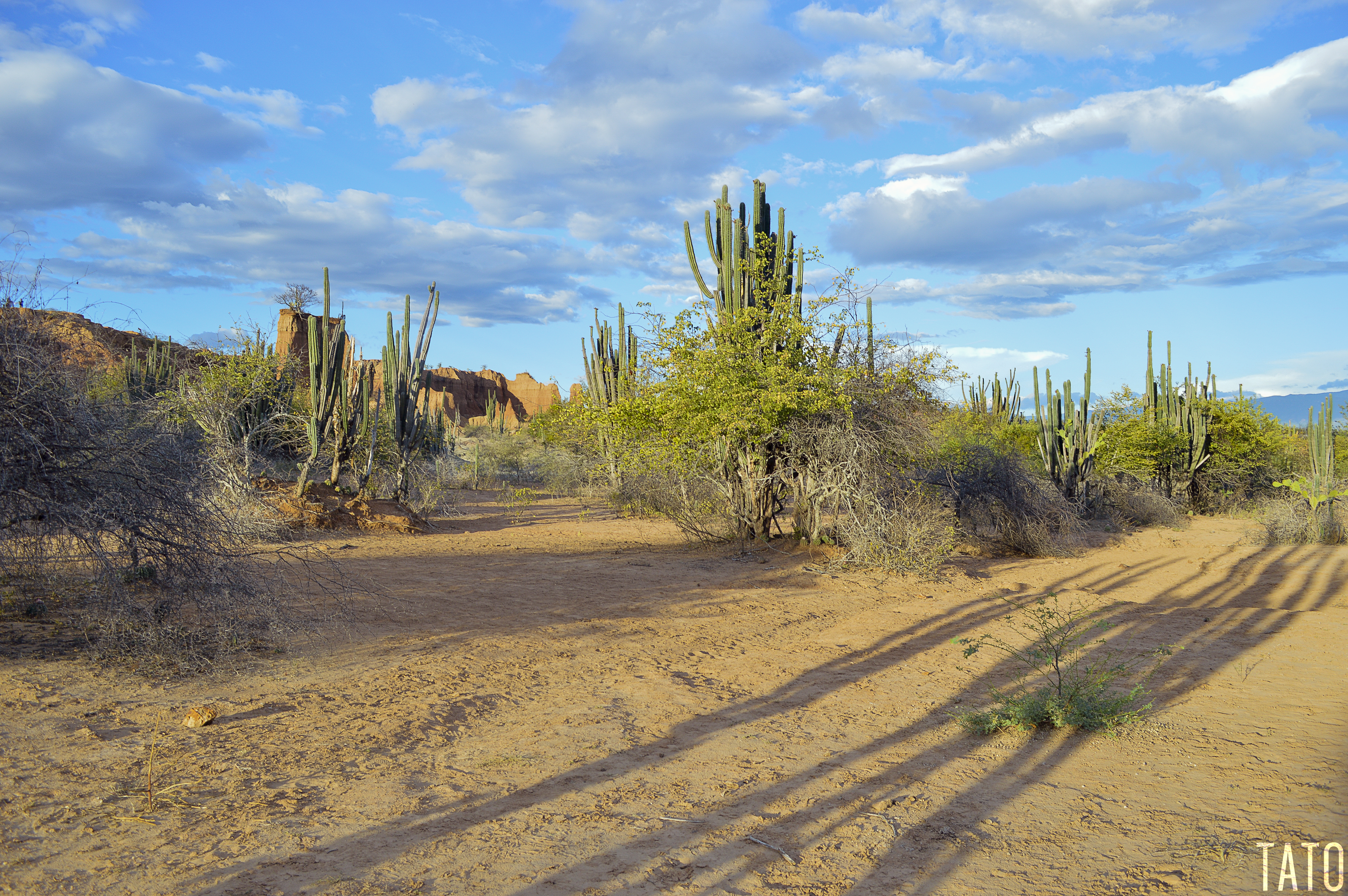
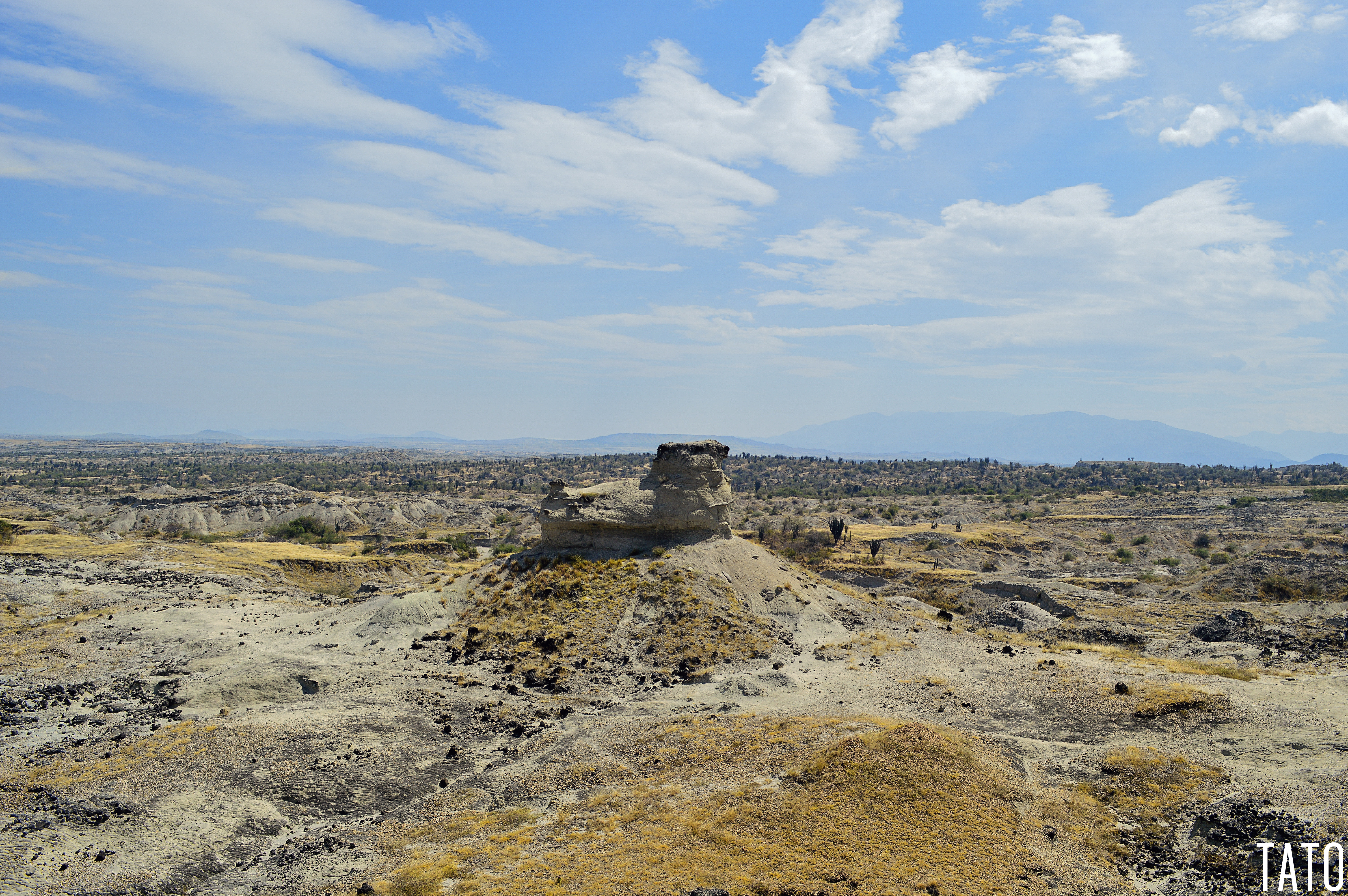
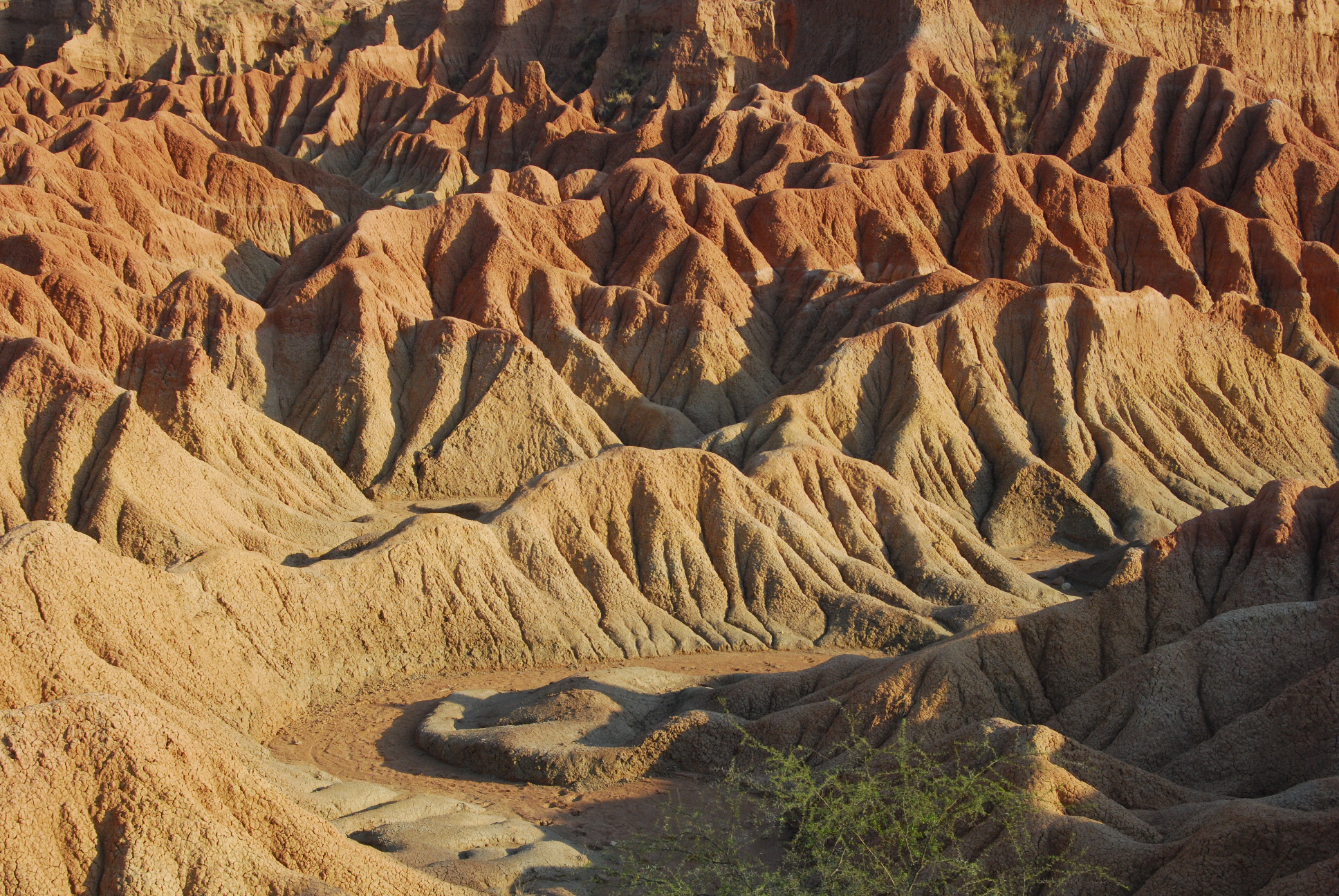
Desierto de la Tatacoa

Desierto 35

Desierto 42

Desierto 69

Desierto 94

Desierto 66

Desierto 133

Desierto 26
Desierto 25

Desierto 2

Desierto 70

Desierto 63

Desierto 130
Desierto de la Tatacoa

Desierto 41
Desierto de la Tatacoa

Desde Otro Lente

Tatacoa Desert
Desierto de la Tatacoa

Las catedrales - The Tatacoa Desert
COL_2015 1406 - Desierto de la Tatacoa - el Cuzco
Topographic Map of Villavieja, Huila, Colombia
Find elevation by address:

Places in Villavieja, Huila, Colombia:
Places near Villavieja, Huila, Colombia:
Recent Searches:
- Elevation of 24, Auburn Bay Crescent SE, Auburn Bay, Calgary, Alberta, T3M 0A6, Canada
- Elevation of Denver, 2314, Arapahoe Street, Five Points, Denver, Colorado, 80205, USA
- Elevation of Community of the Beatitudes, 2924, West 43rd Avenue, Sunnyside, Denver, Colorado, 80211, USA
- Elevation map of Litang County, Sichuan, China
- Elevation map of Madoi County, Qinghai, China
- Elevation of 3314, Ohio State Route 114, Payne, Paulding County, Ohio, 45880, USA
- Elevation of Sarahills Drive, Saratoga, Santa Clara County, California, 95070, USA
- Elevation of Town of Bombay, Franklin County, New York, USA
- Elevation of 9, Convent Lane, Center Moriches, Suffolk County, New York, 11934, USA
- Elevation of Saint Angelas Convent, 9, Convent Lane, Center Moriches, Suffolk County, New York, 11934, USA
- Elevation of 131st Street Southwest, Mukilteo, Snohomish County, Washington, 98275, USA
- Elevation of 304, Harrison Road, Naples, Cumberland County, Maine, 04055, USA
- Elevation of 2362, Timber Ridge Road, Harrisburg, Cabarrus County, North Carolina, 28075, USA
- Elevation of Ridge Road, Marshalltown, Marshall County, Iowa, 50158, USA
- Elevation of 2459, Misty Shadows Drive, Pigeon Forge, Sevier County, Tennessee, 37862, USA
- Elevation of 8043, Brightwater Way, Spring Hill, Williamson County, Tennessee, 37179, USA
- Elevation of Starkweather Road, San Luis, Costilla County, Colorado, 81152, USA
- Elevation of 5277, Woodside Drive, Baton Rouge, East Baton Rouge Parish, Louisiana, 70808, USA
- Elevation of 1139, Curtin Street, Shepherd Park Plaza, Houston, Harris County, Texas, 77018, USA
- Elevation of 136, Sellers Lane, Repton, Monroe County, Alabama, 36475, USA