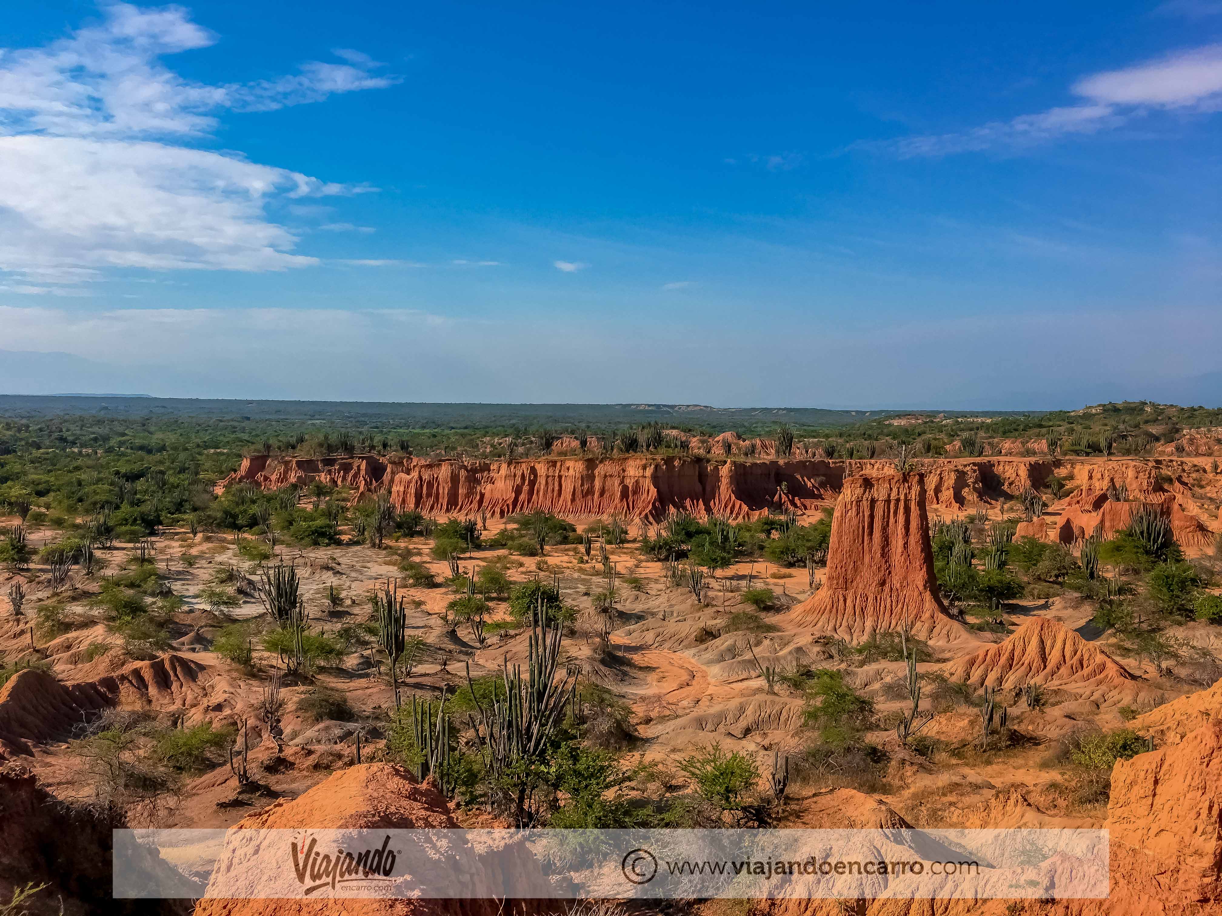
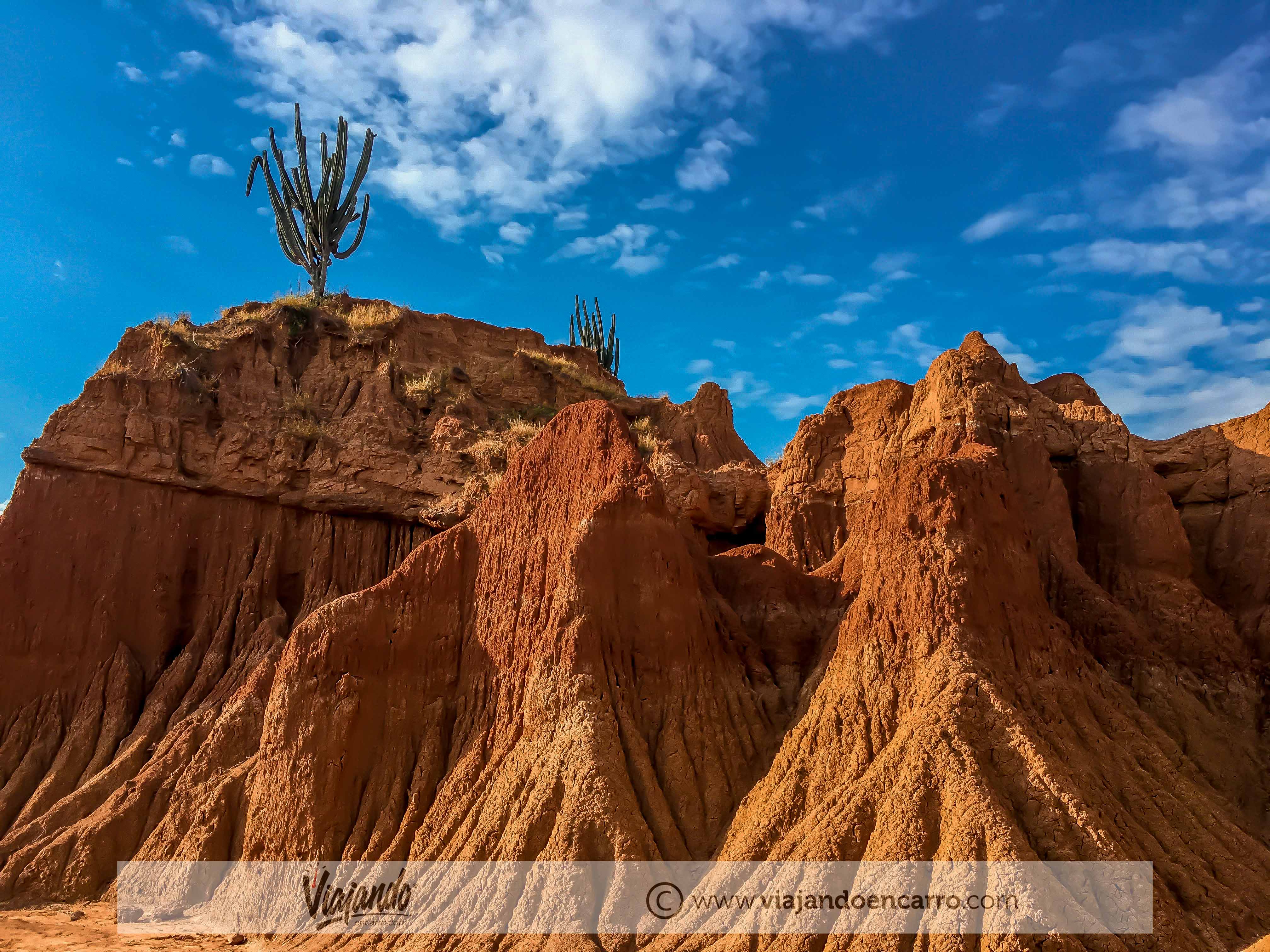
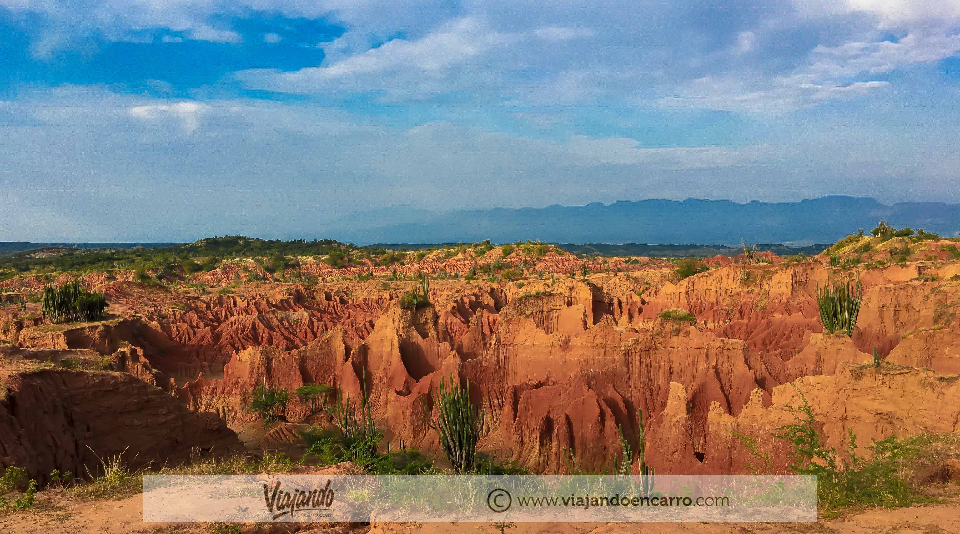
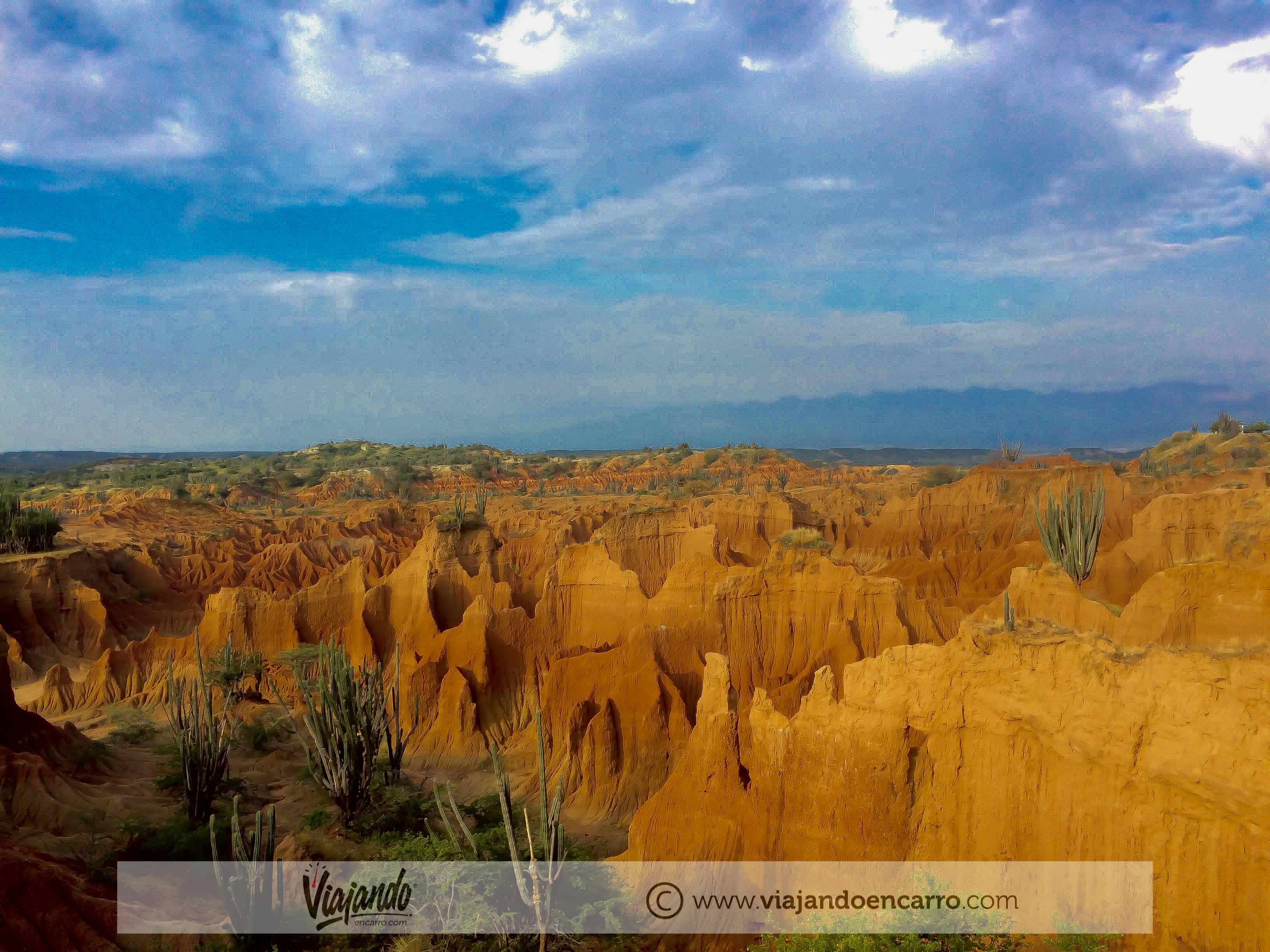
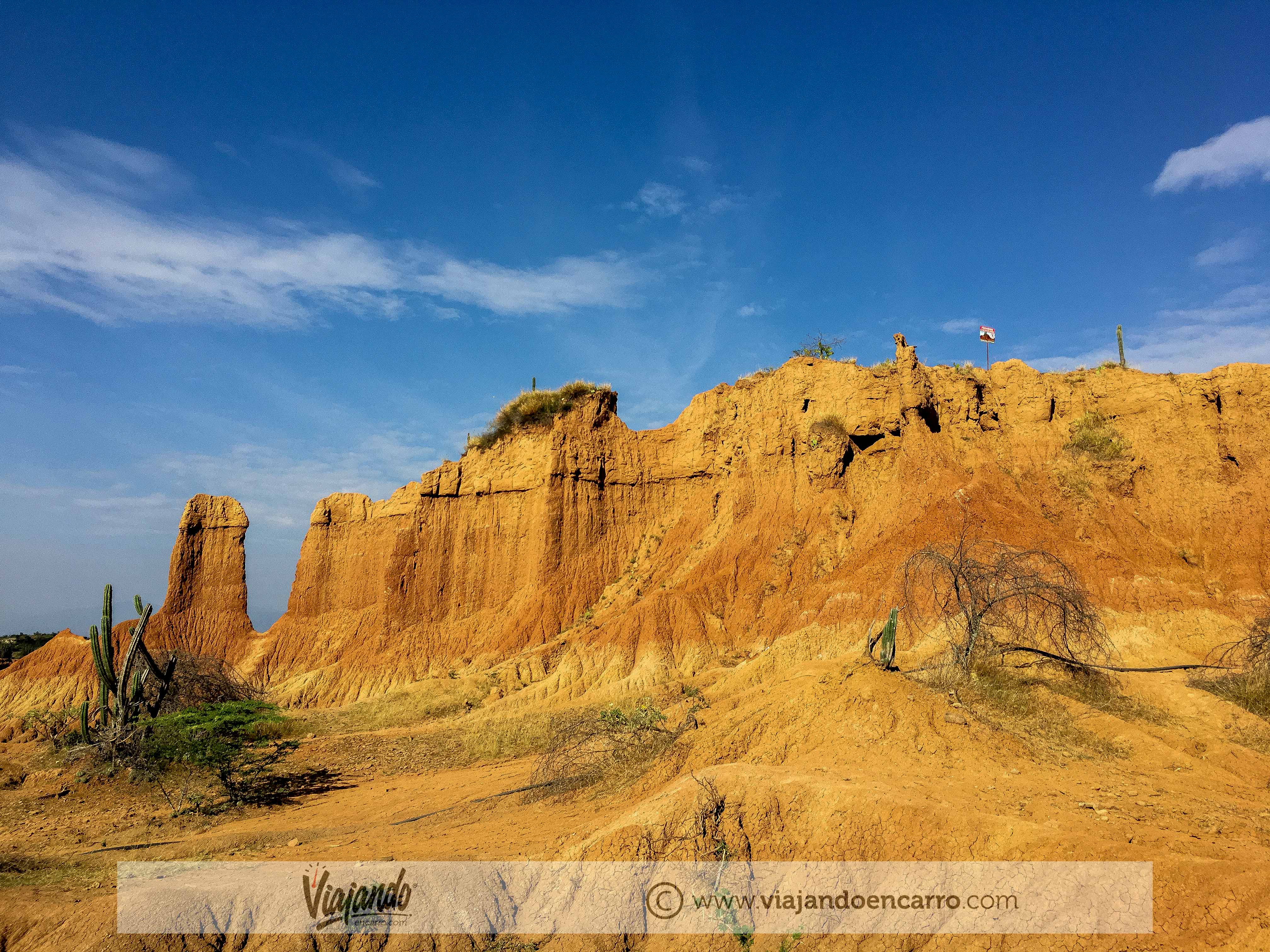
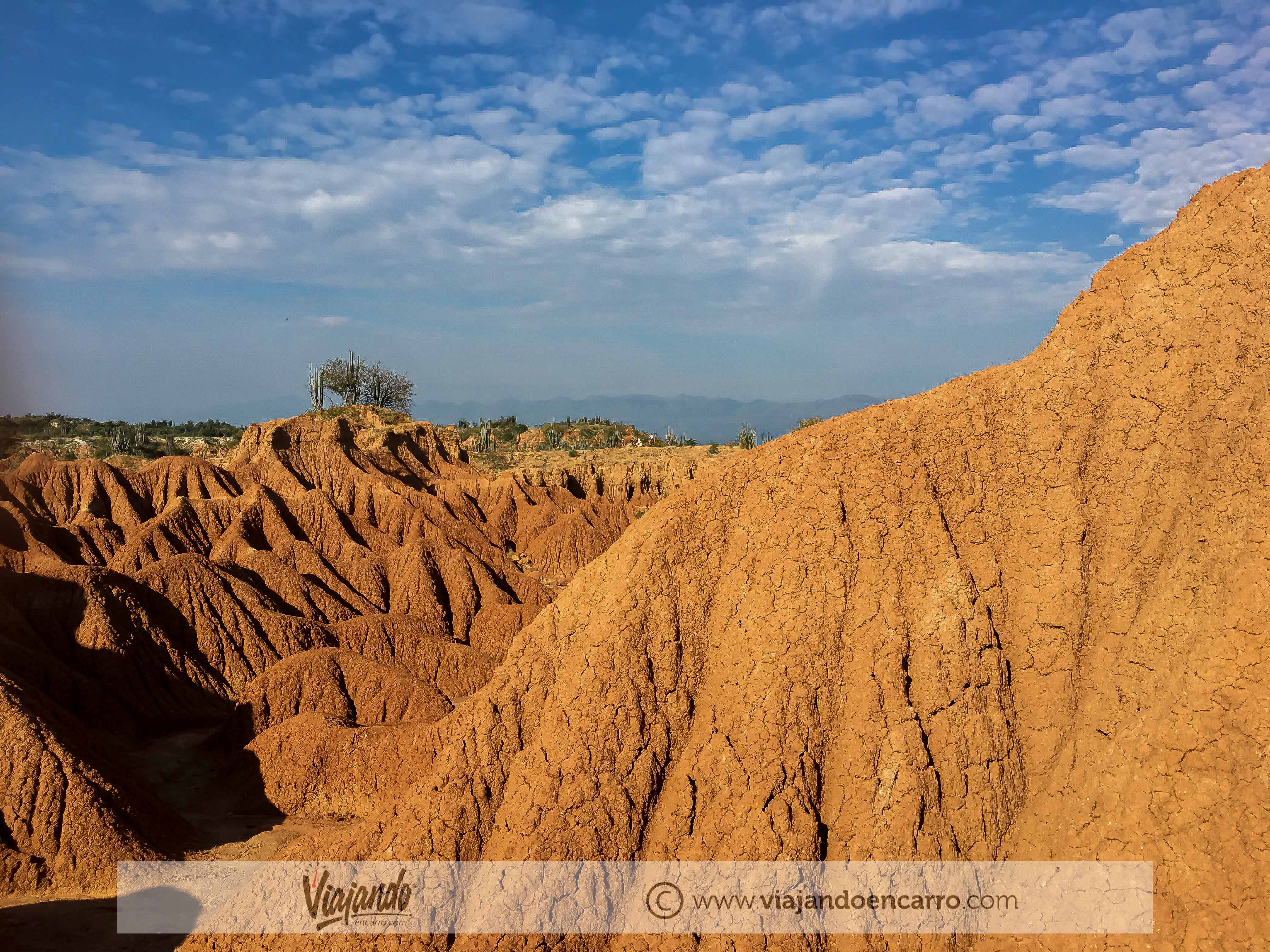
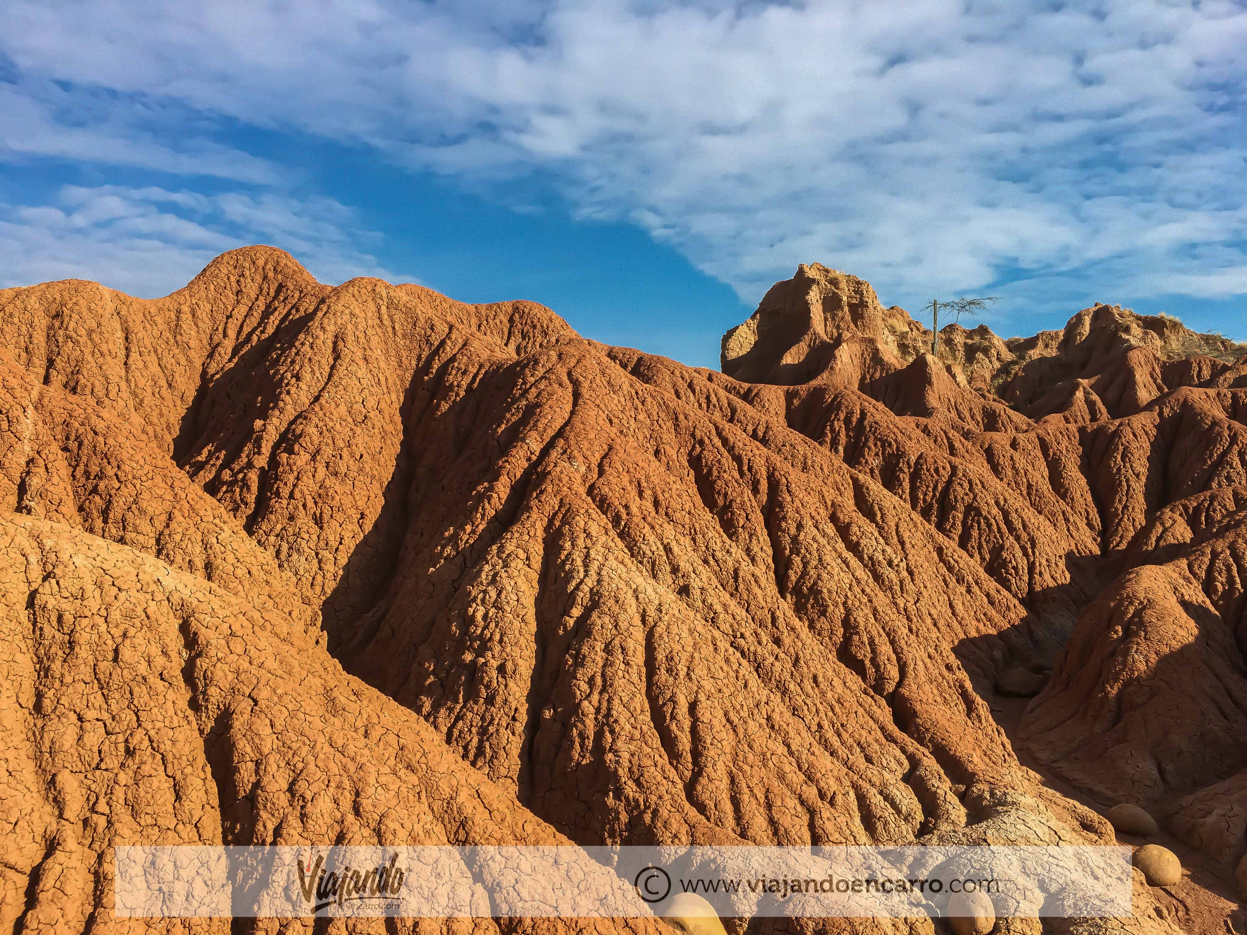
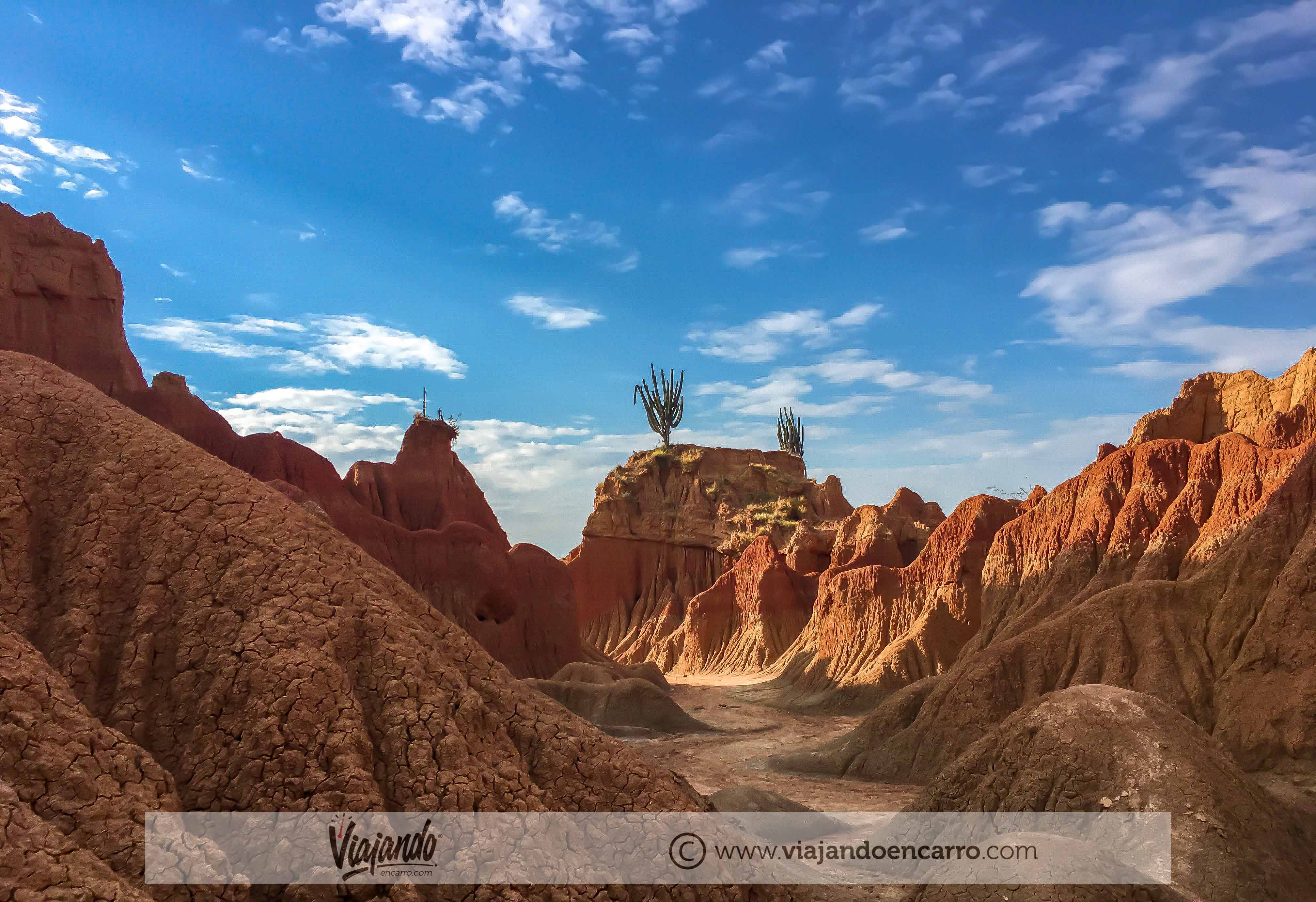
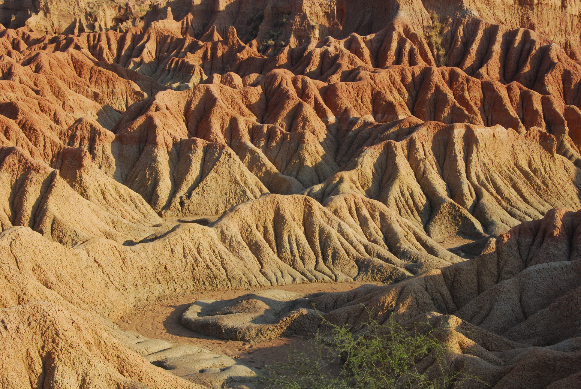
Elevation of Tatacoa Desert, Villavieja, Huila, Colombia
Location: Colombia > Huila > Villavieja >
Longitude: -75.168794
Latitude: 3.2323761
Elevation: 440m / 1444feet
Barometric Pressure: 96KPa
Elevation Map:
Satellite Map:
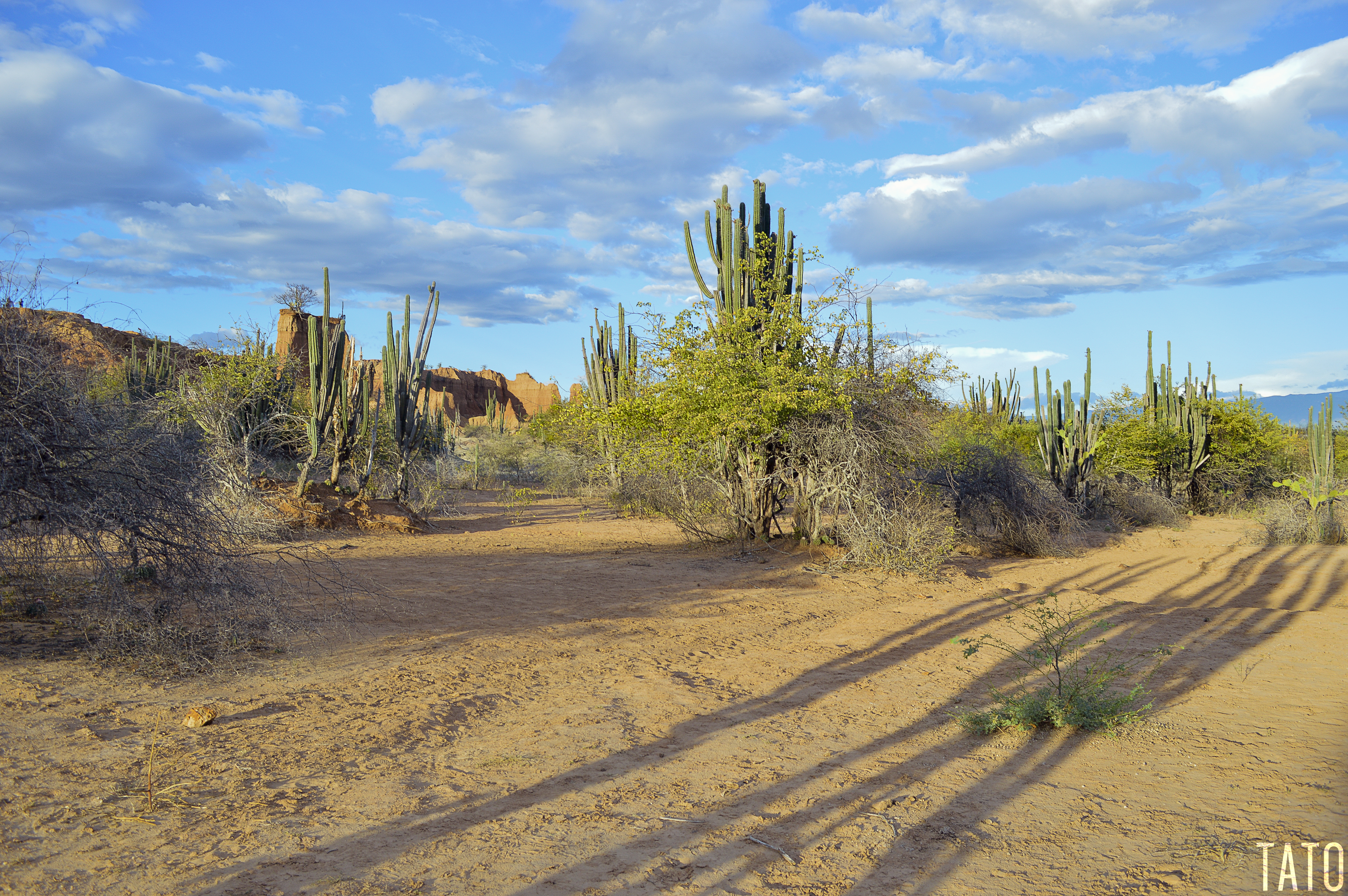
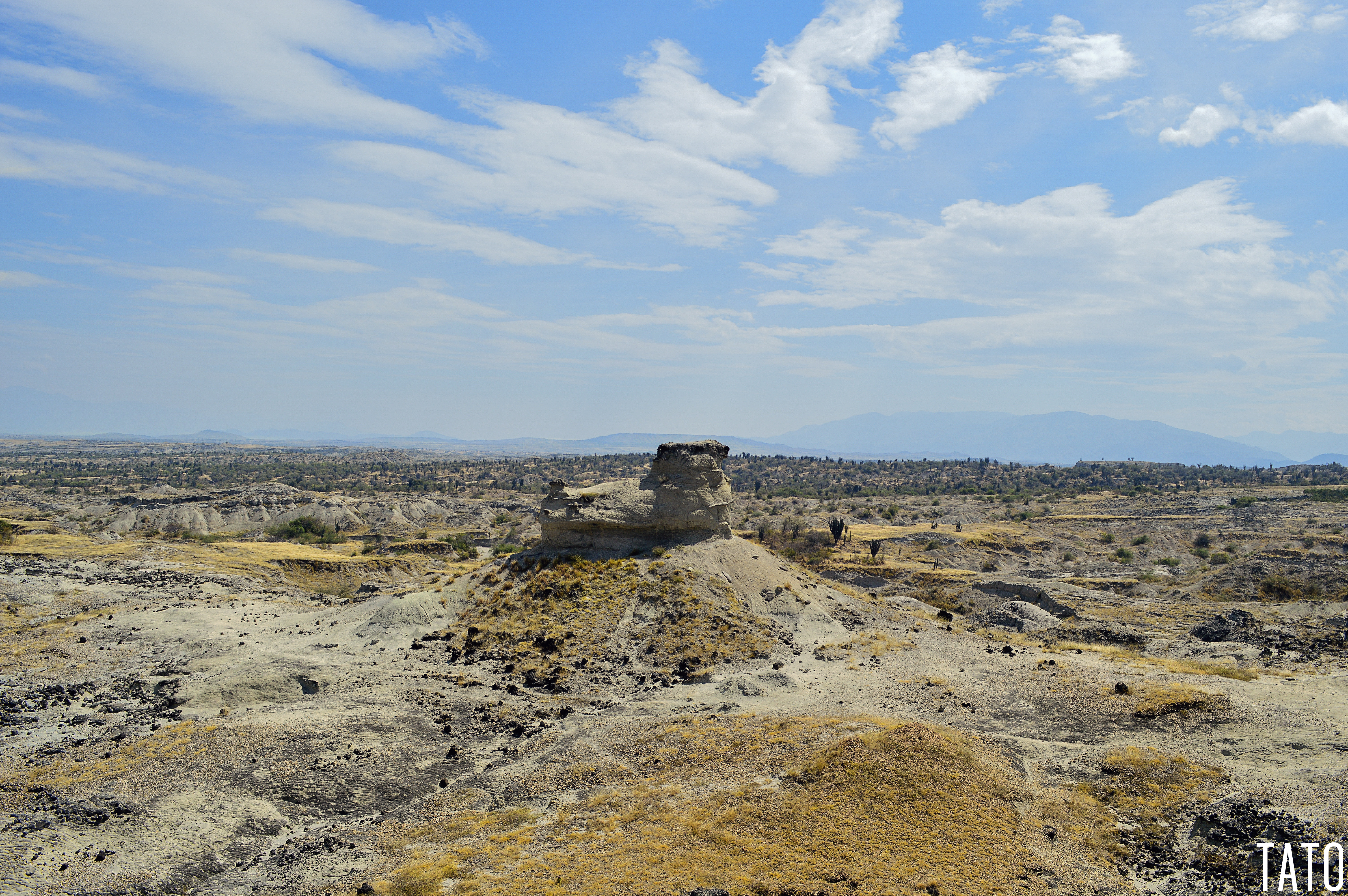
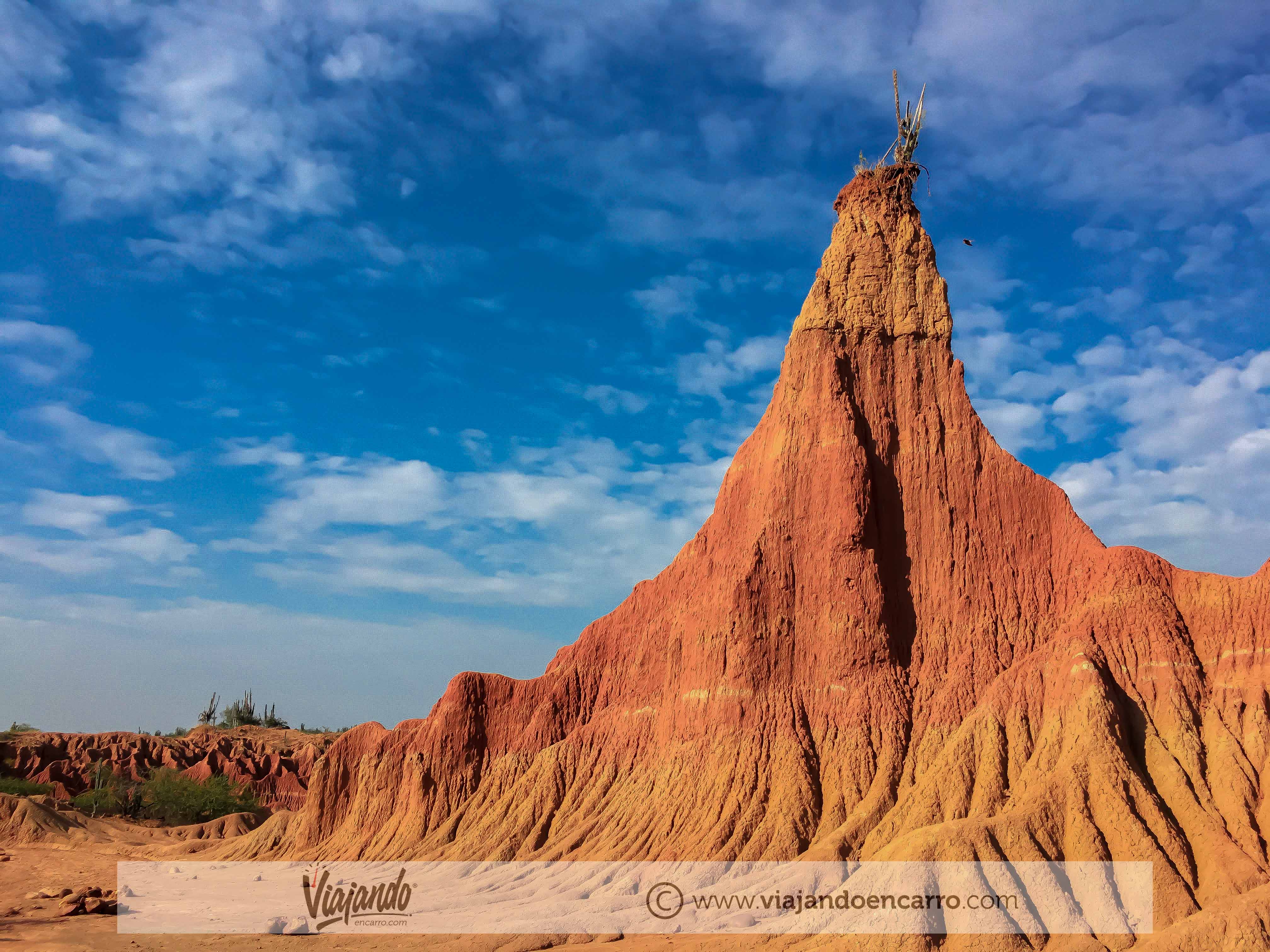
Related Photos:
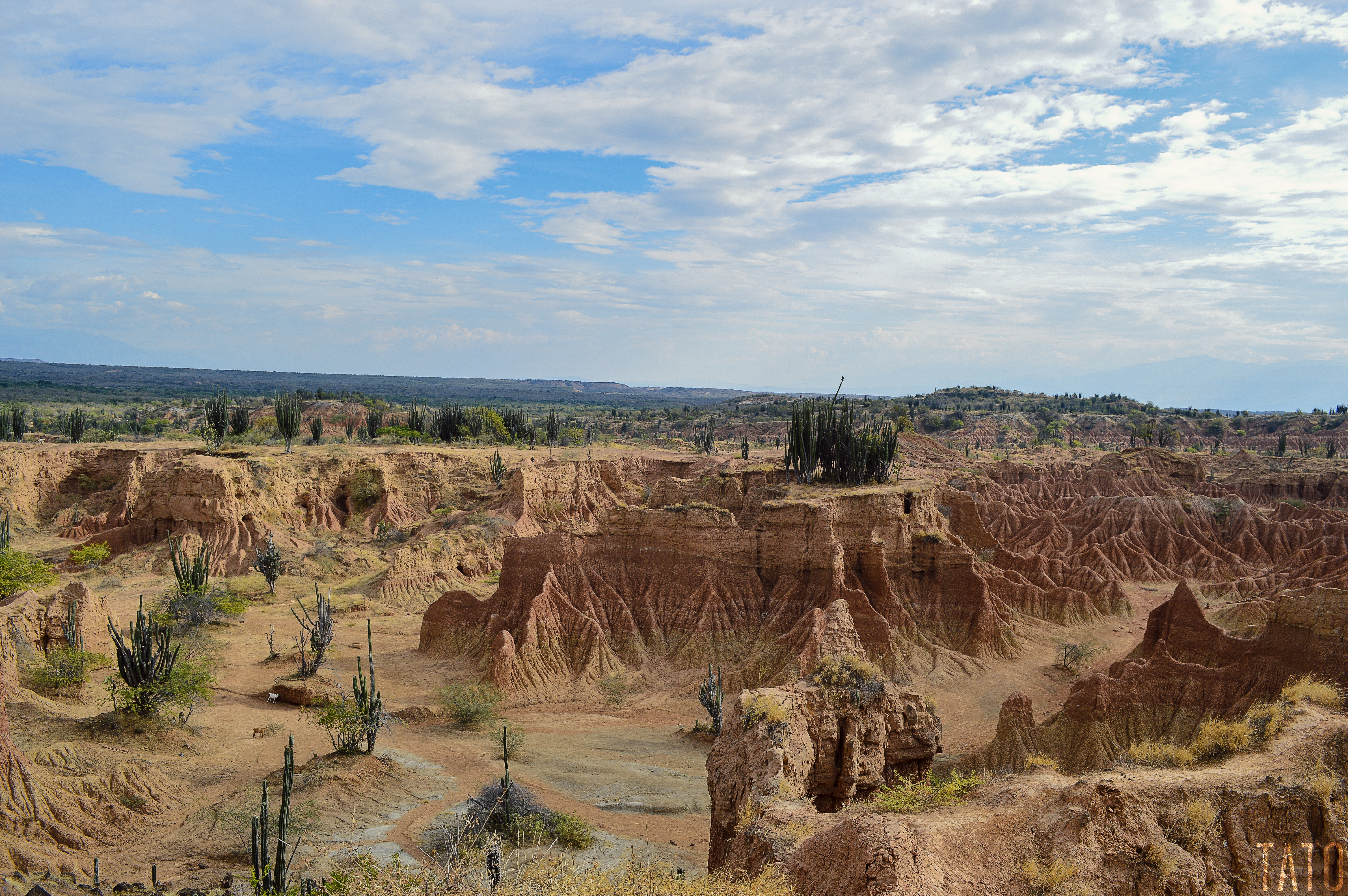
Desierto de la Tatacoa
Desierto de la Tatacoa

Desde Otro Lente
Desierto de la Tatacoa

Desierto de la Tatacoa
Desierto 35
Desierto 42

Desierto 69
Desierto 94
Desierto 66
Desierto 133
Desierto 26
Desierto 25
Desierto 2

Desierto 70

Desierto 63

Desierto 130
Desierto 41

Tatacoa Desert

Las catedrales - The Tatacoa Desert
COL_2015 1406 - Desierto de la Tatacoa - el Cuzco
Topographic Map of Tatacoa Desert, Villavieja, Huila, Colombia
Find elevation by address:

Places near Tatacoa Desert, Villavieja, Huila, Colombia:
Recent Searches:
- Elevation of Corso Fratelli Cairoli, 35, Macerata MC, Italy
- Elevation of Tallevast Rd, Sarasota, FL, USA
- Elevation of 4th St E, Sonoma, CA, USA
- Elevation of Black Hollow Rd, Pennsdale, PA, USA
- Elevation of Oakland Ave, Williamsport, PA, USA
- Elevation of Pedrógão Grande, Portugal
- Elevation of Klee Dr, Martinsburg, WV, USA
- Elevation of Via Roma, Pieranica CR, Italy
- Elevation of Tavkvetili Mountain, Georgia
- Elevation of Hartfords Bluff Cir, Mt Pleasant, SC, USA