Elevation of Village Dr, Bowling Green, OH, USA
Location: United States > Ohio > Wood County > Bowling Green >
Longitude: -83.662034
Latitude: 41.387841
Elevation: 206m / 676feet
Barometric Pressure: 99KPa
Elevation Map:
Satellite Map:
Related Photos:

Bowling Green Soccer Fall Challenge (2013)
Last picture from this view. I'm leaving though bringing with me good moments from this place! Bye #falconspointe #sunset #June

Beautiful view #thanksgiving

Viewing leaves

Maumee River Sunset 3
View from My Gym

Bowling Green Soccer Fall Challenge (2013)

The Old Bridge

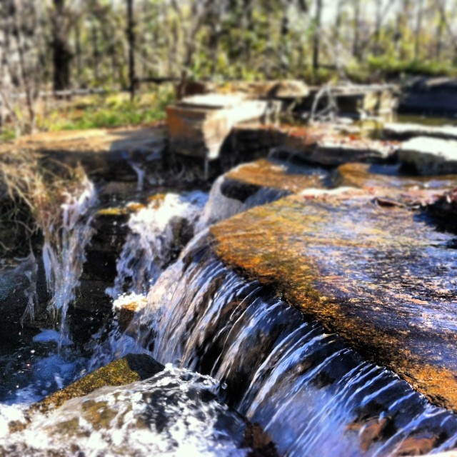
Pot-O-Gold - Explore #32

Nothing Left But The Corn

Funky rainbow two

Trail of Redbuds
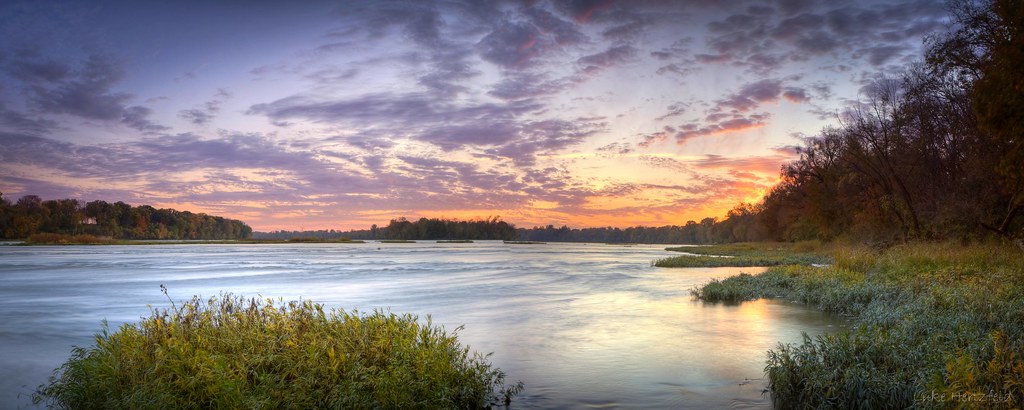
October Skies - Maumee River

Interurban Bridge Sundown

one of several

#bgsu #beautifulday
photo.JPG

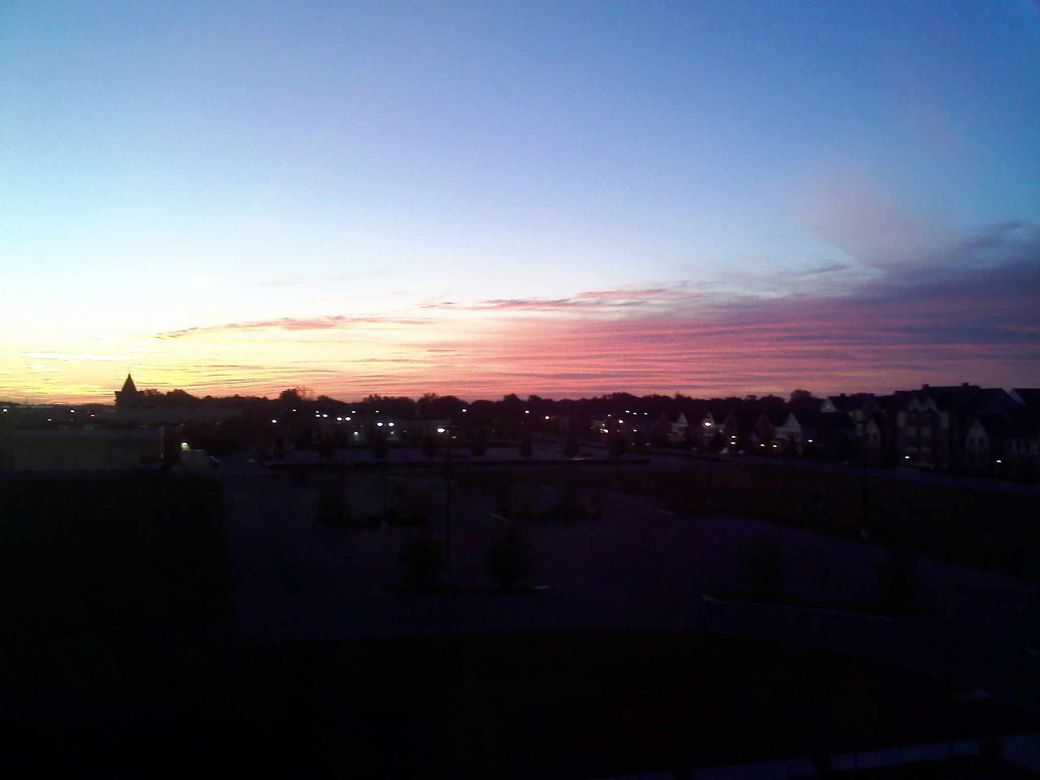
Night falling #Bgsu #landscape #night #lastmoments
..And life goes on like a river flowing down.. • ..E a vida vai passando como um rio seguindo seu fluxo.. #Reflexion #waterfall #FinlayPark #Columbia #SouthCarolina

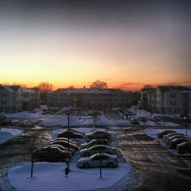
Just Another Sunset
7/9/2010
Skyscraper of the day #Skyscraper #Sky #February #SunSetting #Winter
7/9/2010
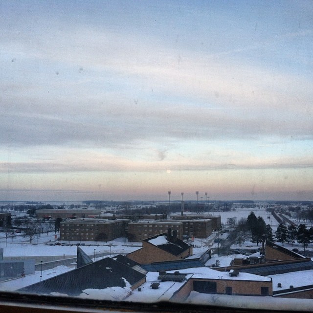
BGSU almost one month ago #bgohio #bgsu #winter #february

Between the Islands
7/9/2010

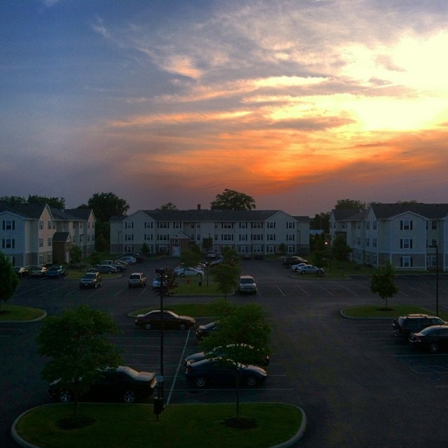
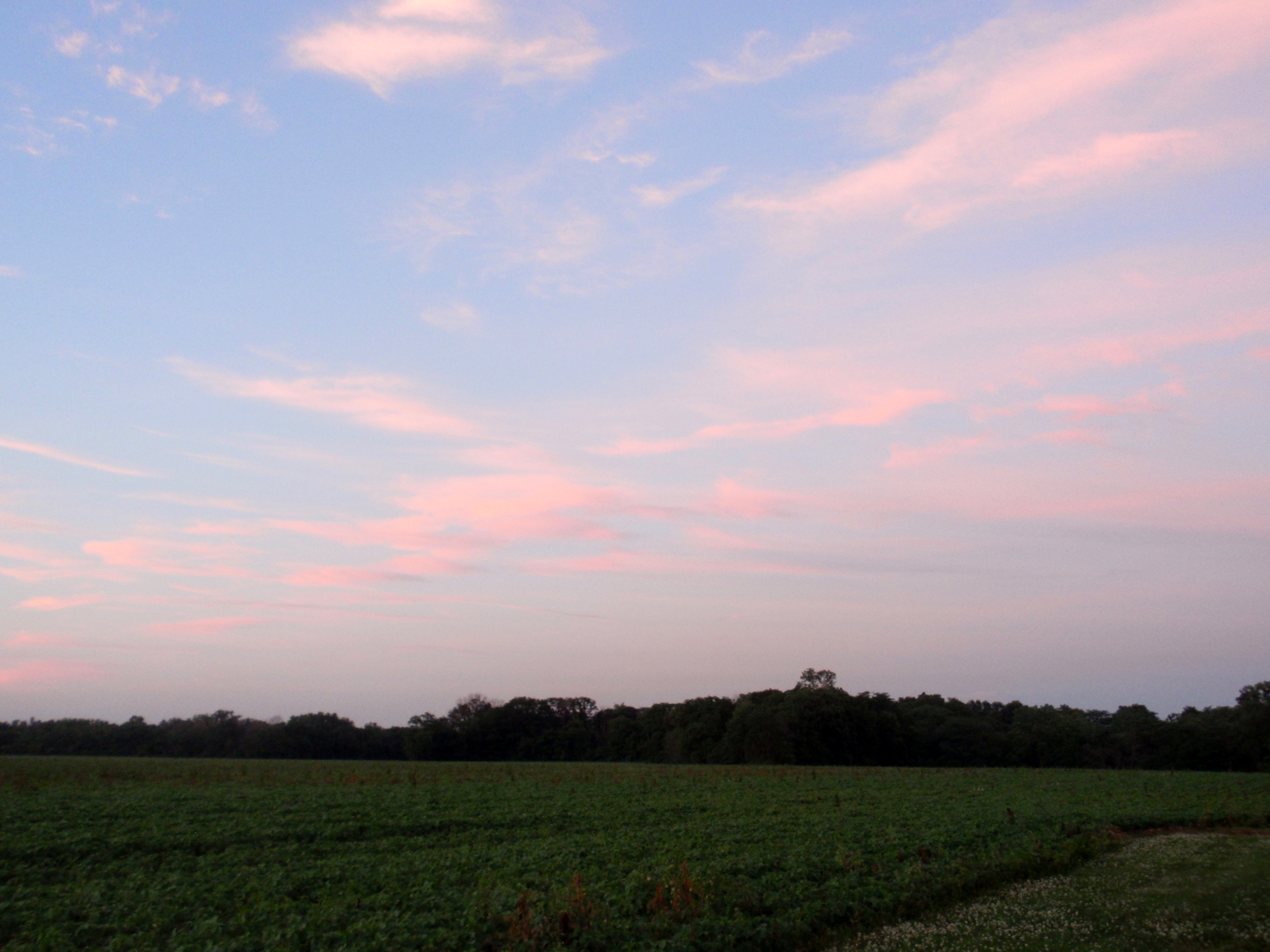
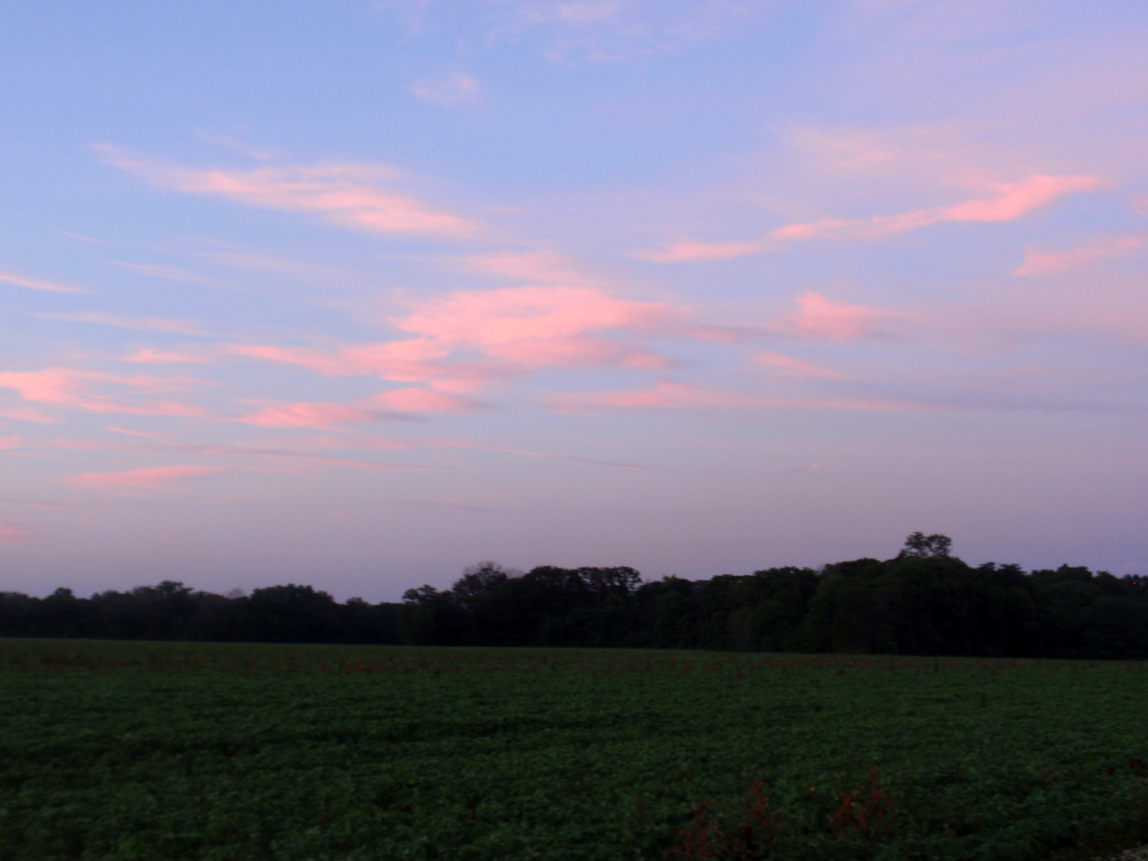
Beautiful sky this morning. Took this while walking down from our apartment
Topographic Map of Village Dr, Bowling Green, OH, USA
Find elevation by address:

Places near Village Dr, Bowling Green, OH, USA:
Wood County Hospital | Bowling Green Hospital
150 Vine St
950 W Wooster St
225 Winfield Dr
800 Pearl St
Bowling Green
Bowling Green
Bowling Green
Bowling Green
Bowling Green
Bowling Green
Bowling Green
Main Street Photo & Portrait Studio
300 Pearl St
209 S Summit St
211 S Enterprise St
Black Swamp Preserve
Bgsu Ice Arena
11854 Newton Rd
Portage
Recent Searches:
- Elevation of Corso Fratelli Cairoli, 35, Macerata MC, Italy
- Elevation of Tallevast Rd, Sarasota, FL, USA
- Elevation of 4th St E, Sonoma, CA, USA
- Elevation of Black Hollow Rd, Pennsdale, PA, USA
- Elevation of Oakland Ave, Williamsport, PA, USA
- Elevation of Pedrógão Grande, Portugal
- Elevation of Klee Dr, Martinsburg, WV, USA
- Elevation of Via Roma, Pieranica CR, Italy
- Elevation of Tavkvetili Mountain, Georgia
- Elevation of Hartfords Bluff Cir, Mt Pleasant, SC, USA