Elevation of Wood County, OH, USA

Location: United States > Ohio >

Longitude: -83.677392

Latitude: 41.3478458

Elevation: 209m / 686feet

Barometric Pressure: 99KPa

Elevation Map:

elevation map of Wood County, OH, USA

Satellite Map:

Satellite map of Wood County, OH, USA

Related Photos:

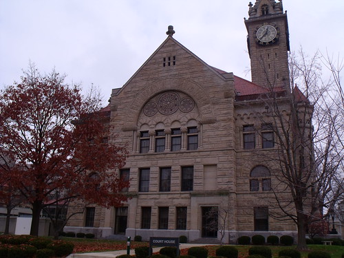
oldbuildings courthouses woodcounty bowlinggreenohio coolhouses smalltownohio
Wood County Court House I
square squareformat iphoneography instagramapp uploaded:by=instagram foursquare:venue=4f9fc793e4b008751da150e7
Last picture from this view. I'm leaving though bringing with me good moments from this place! Bye #falconspointe #sunset #June
square squareformat iphoneography instagramapp uploaded:by=instagram foursquare:venue=4c8444df74d7b60c9be291d8
Beautiful view #thanksgiving
square squareformat rise iphoneography instagramapp uploaded:by=instagram foursquare:venue=4c1e83ab920076b0307ec3e9
Viewing leaves
ohio usa sports soccer bowlinggreen soccertournament youthsports u12b twinsburgacsoccer bowlinggreensoccerfallchallenge
Bowling Green Soccer Fall Challenge (2013)
sunset ohio river view bend toledo waterville maumee metropark lucascounty
Maumee River Sunset 3
ohio usa sports soccer bowlinggreen soccertournament youthsports u12b twinsburgacsoccer bowlinggreensoccerfallchallenge
Bowling Green Soccer Fall Challenge (2013)
park flower tree leaves evening blossom walk trail redbud maumeeriver toledoareametroparks watervilleohio farnsworthmetropark
Trail of Redbuds
gallery2flickr
Funky rainbow two
photo.JPG
bridge ohio abandoned urbandecay toledo urbanexploration urbex maumeeriver rouchedeboeuf
Abandoned Bridge
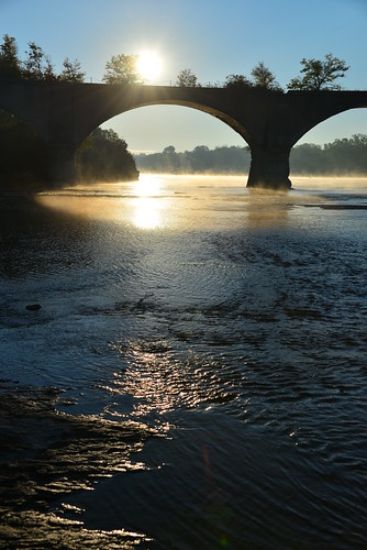
morning bridge trees water clouds reflections river landscape outdoors dawn pier rocks arch roman arches riverbed grasses geology northwestohio discoverohio watervilleohio limatoledotractioncompany oldwatervillebridge
The Old Bridge
landscapes grunge abandonded northwestohio
Nothing Left But The Corn
bridge ohio water clouds canon river landscape maumeeriver lucascounty kmsmith farnsworthmetropark
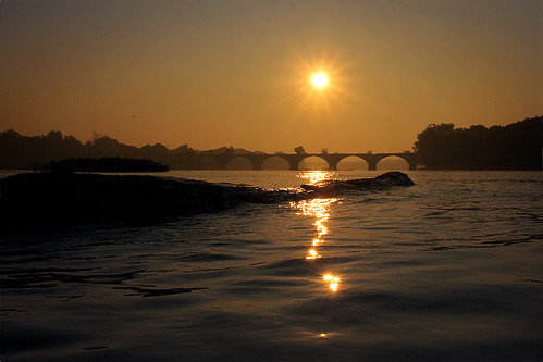
Interurban Bridge Sundown
dynamic fx range decent d600 nikond600 nikon28300mm
one of several
square squareformat iphoneography instagramapp uploaded:by=instagram foursquare:venue=4b79acc8f964a5203c0a2fe3
#bgsu #beautifulday
square squareformat iphoneography instagramapp uploaded:by=instagram foursquare:venue=51c32823498e36978851a82f
Night falling #Bgsu #landscape #night #lastmoments
square squareformat iphoneography instagramapp uploaded:by=instagram
..And life goes on like a river flowing down.. • ..E a vida vai passando como um rio seguindo seu fluxo.. #Reflexion #waterfall #FinlayPark #Columbia #SouthCarolina
sunset
7/9/2010
square squareformat iphoneography instagramapp uploaded:by=instagram foursquare:venue=4f9fc793e4b008751da150e7
Skyscraper of the day #Skyscraper #Sky #February #SunSetting #Winter
sunset
7/9/2010
square squareformat iphoneography instagramapp uploaded:by=instagram foursquare:venue=4ba2c342f964a520211738e3
BGSU almost one month ago #bgohio #bgsu #winter #february
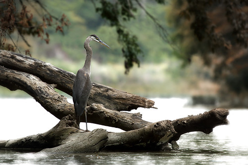
wood reflection bird heron river still logs waterville greatblueheron maumeeriver
Between the Islands
IMG_7663 copy
sunset
7/9/2010
ohio waterville maumeeriver interurbanbridge
Interurban Bridge
abandoned landscape grunge northwestohio
Abandoned Farmhouse Route 582

Topographic Map of Wood County, OH, USA

Find elevation by address:


Places in Wood County, OH, USA:

Places near Wood County, OH, USA:

Recent Searches: