Elevation of Pearl St, Bowling Green, OH, USA
Location: United States > Ohio > Wood County > Bowling Green >
Longitude: -83.661112
Latitude: 41.3715405
Elevation: 210m / 689feet
Barometric Pressure: 99KPa
Elevation Map:
Satellite Map:
Related Photos:

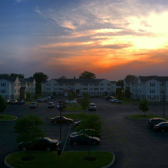
Beautiful view #thanksgiving
Last picture from this view. I'm leaving though bringing with me good moments from this place! Bye #falconspointe #sunset #June
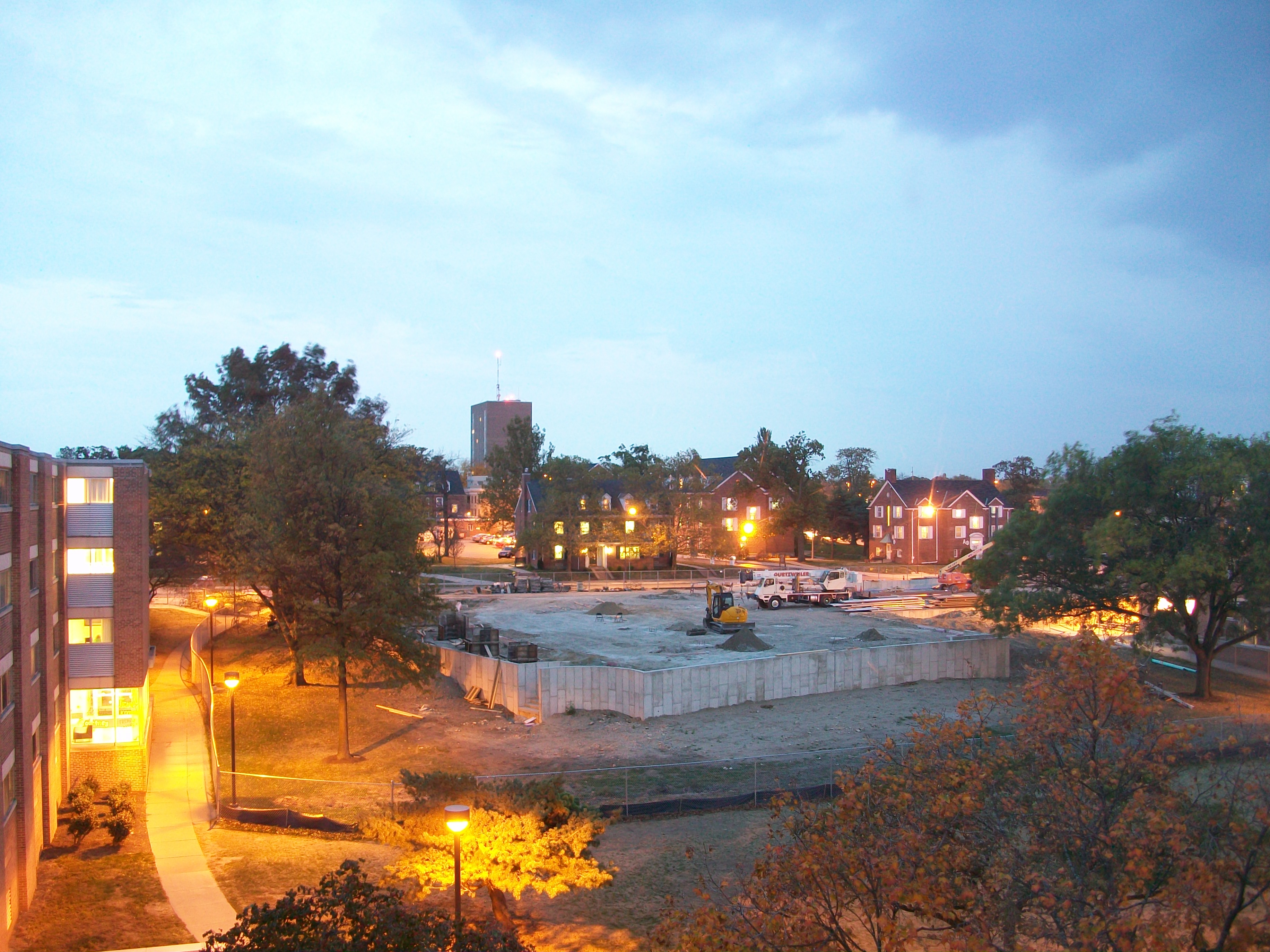
Twilight View (Dorm Room)

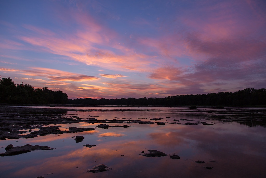
Maumee River Sunset 3

Bowling Green Soccer Fall Challenge (2013)
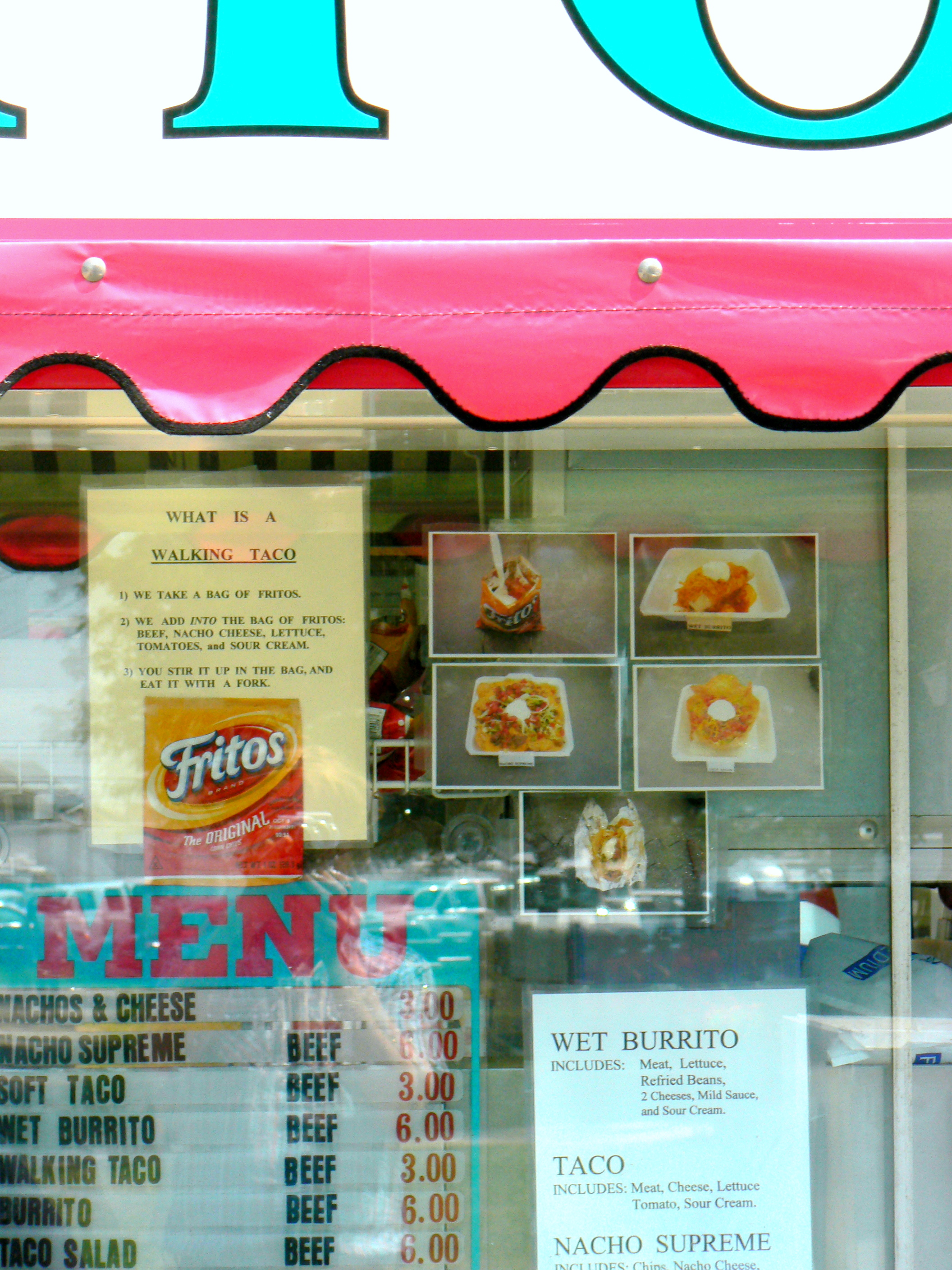
What is a Walking Taco?

Bowling Green Soccer Fall Challenge (2013)

Bowling Green Soccer Fall Challenge (2013)

Bowling Green Soccer Fall Challenge (2013)

Bowling Green Soccer Fall Challenge (2013)

Bowling Green Soccer Fall Challenge (2013)

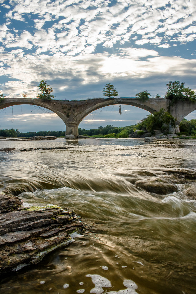
The Old Bridge

Trail of Redbuds
Interurban Bridge Sundown

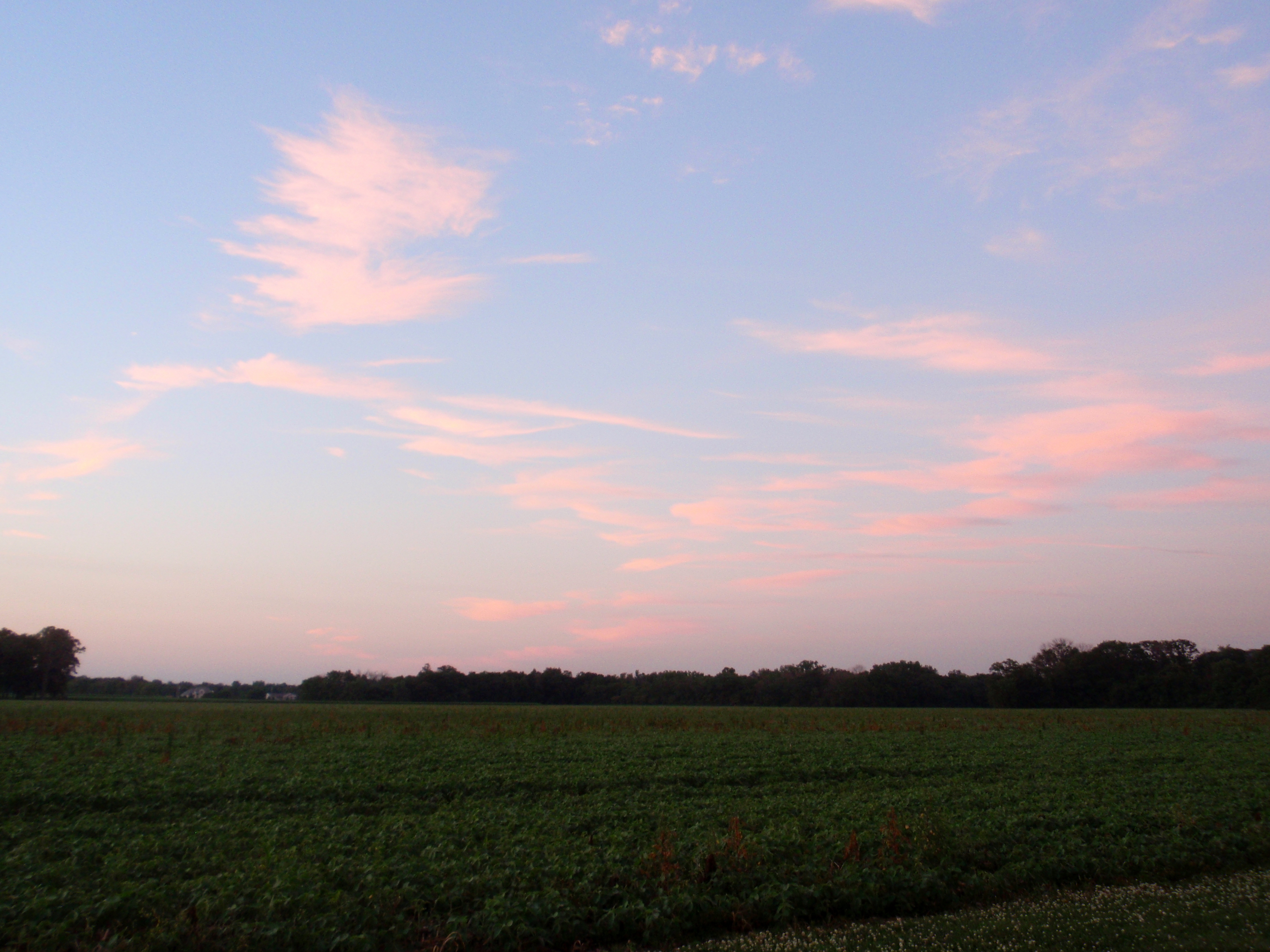
Nothing Left But The Corn

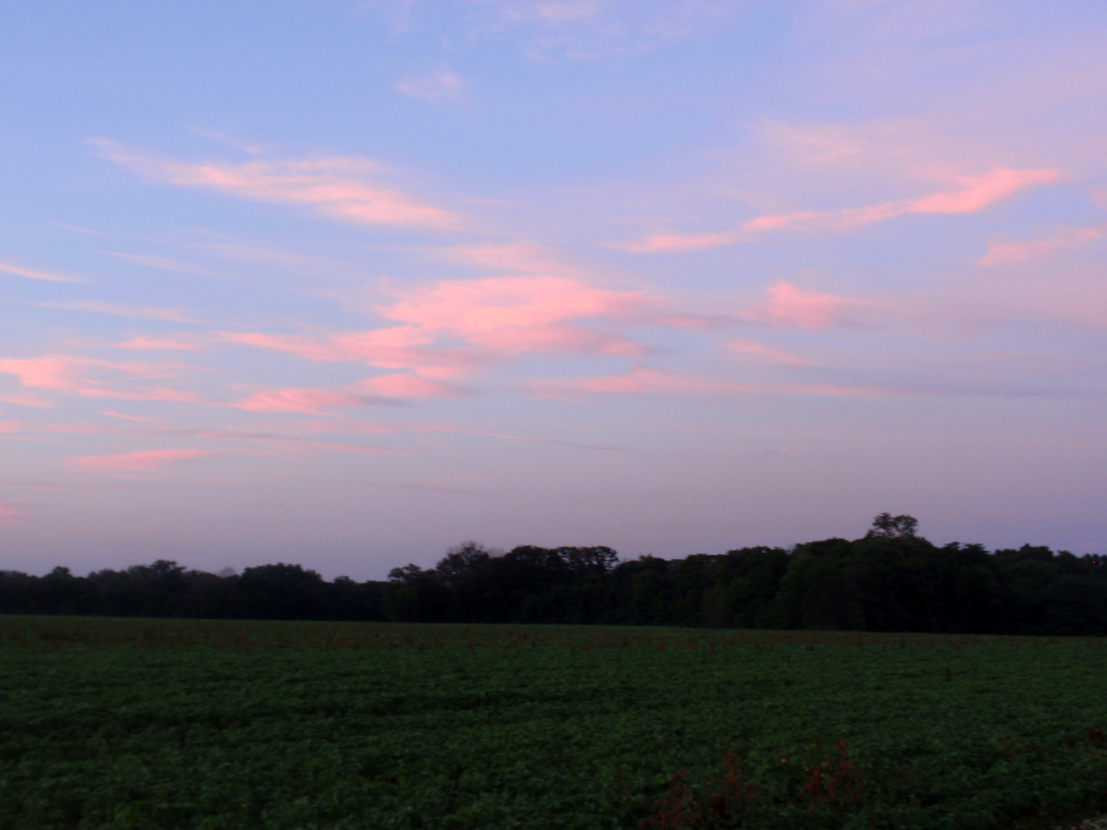
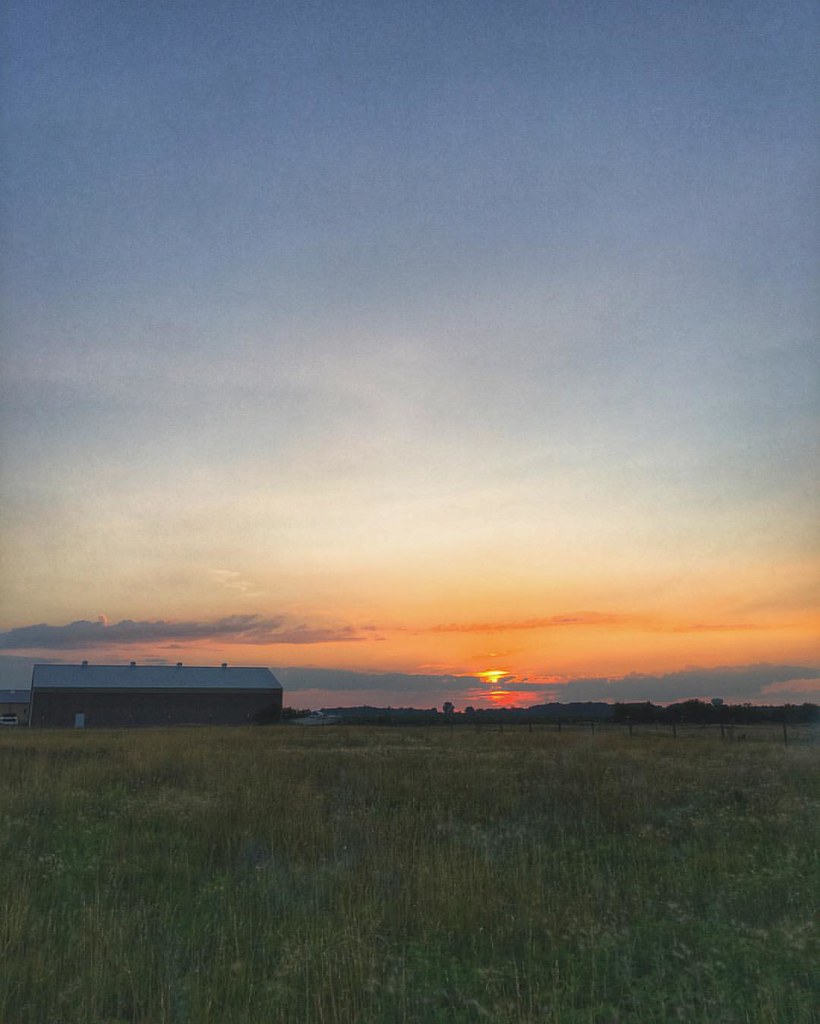
Just Another Sunset
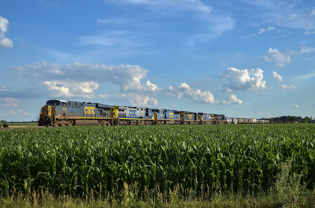
CSX L324 - Tontogany, Ohio
7/9/2010

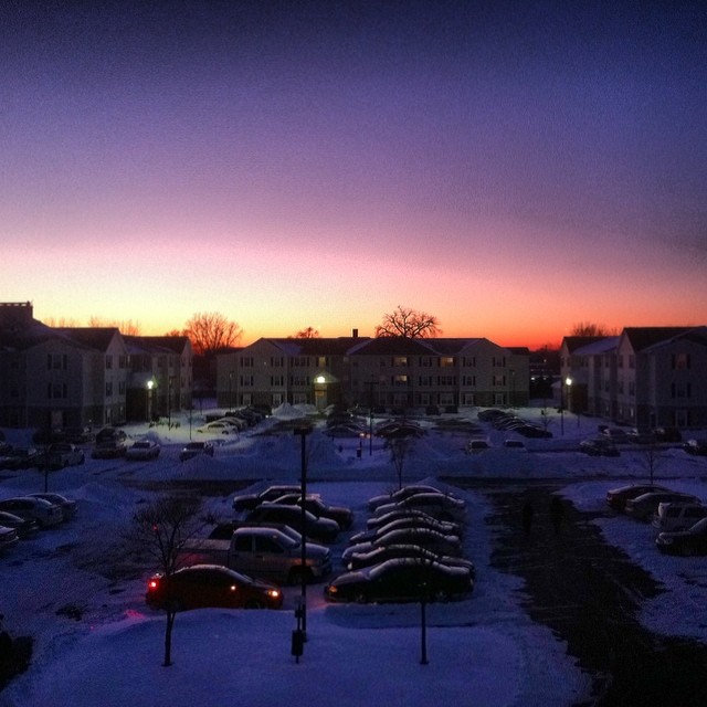
Night falling #Bgsu #landscape #night #lastmoments
7/9/2010
photo.JPG
The sky a few minutes ago #sky #skyscraper #LateAfternoon #winter #february
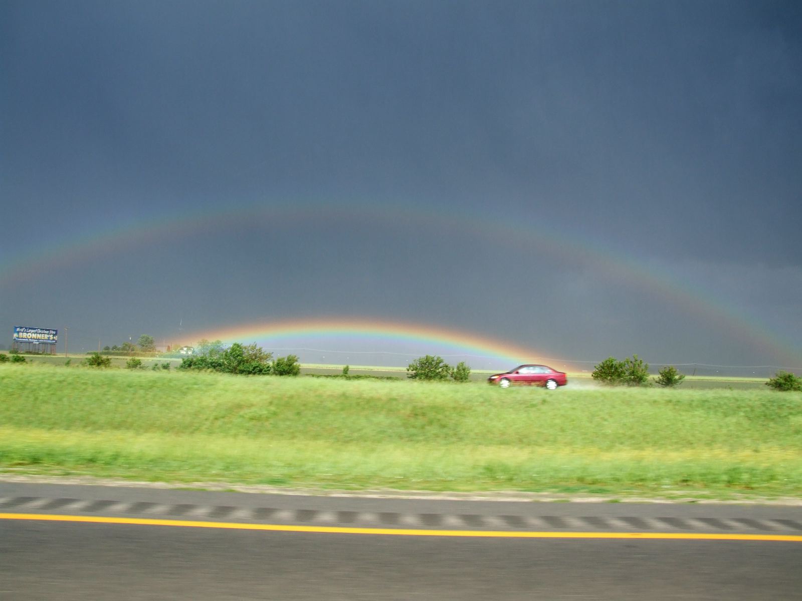
Funky rainbow two
Between the Islands
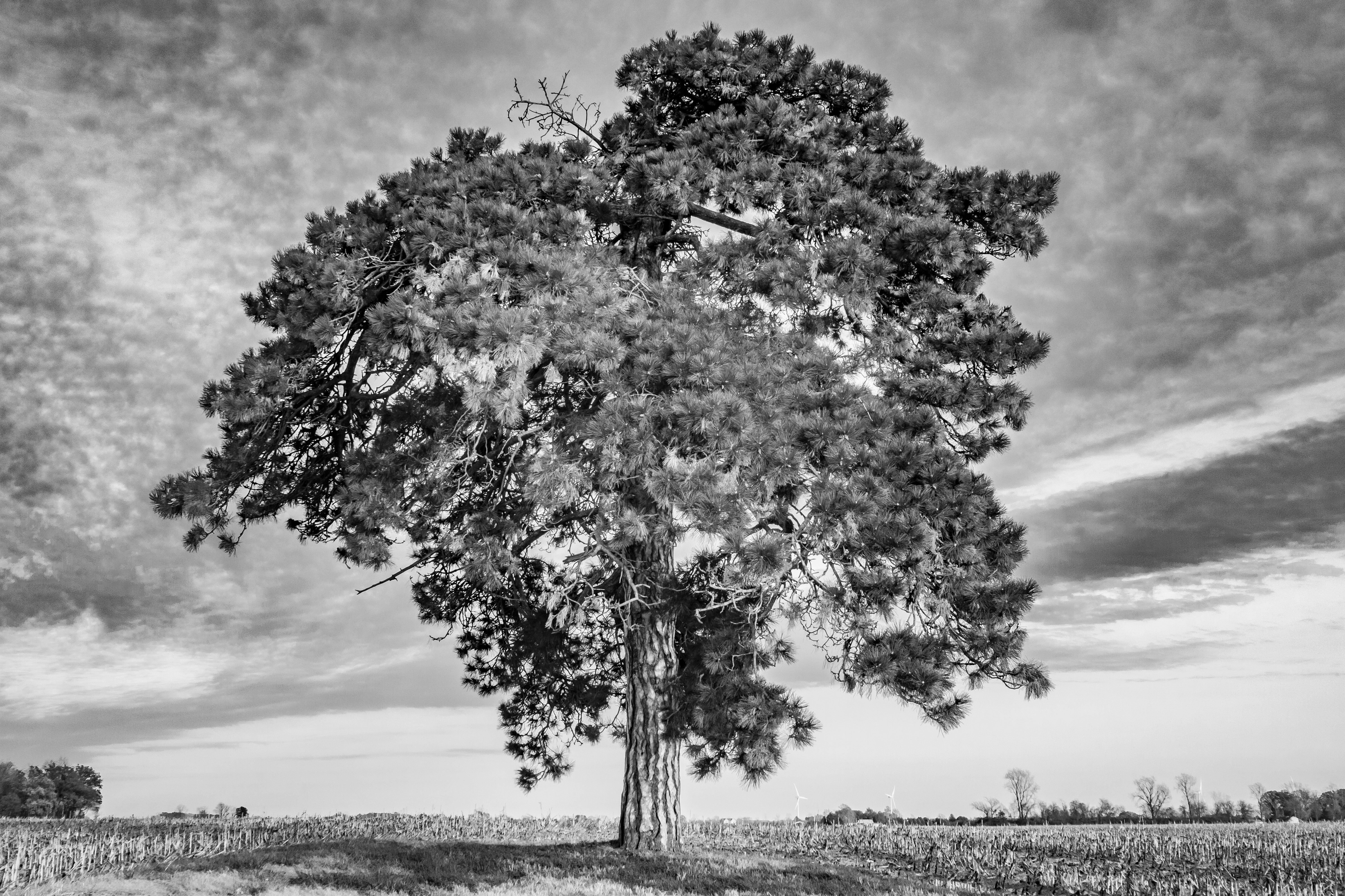
Old Tree
Calm on the water
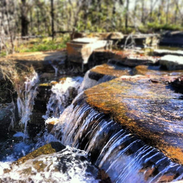
..And life goes on like a river flowing down.. • ..E a vida vai passando como um rio seguindo seu fluxo.. #Reflexion #waterfall #FinlayPark #Columbia #SouthCarolina
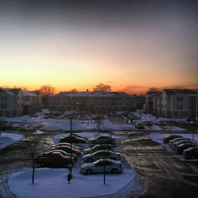
Skyscraper of the day #Skyscraper #Sky #February #SunSetting #Winter
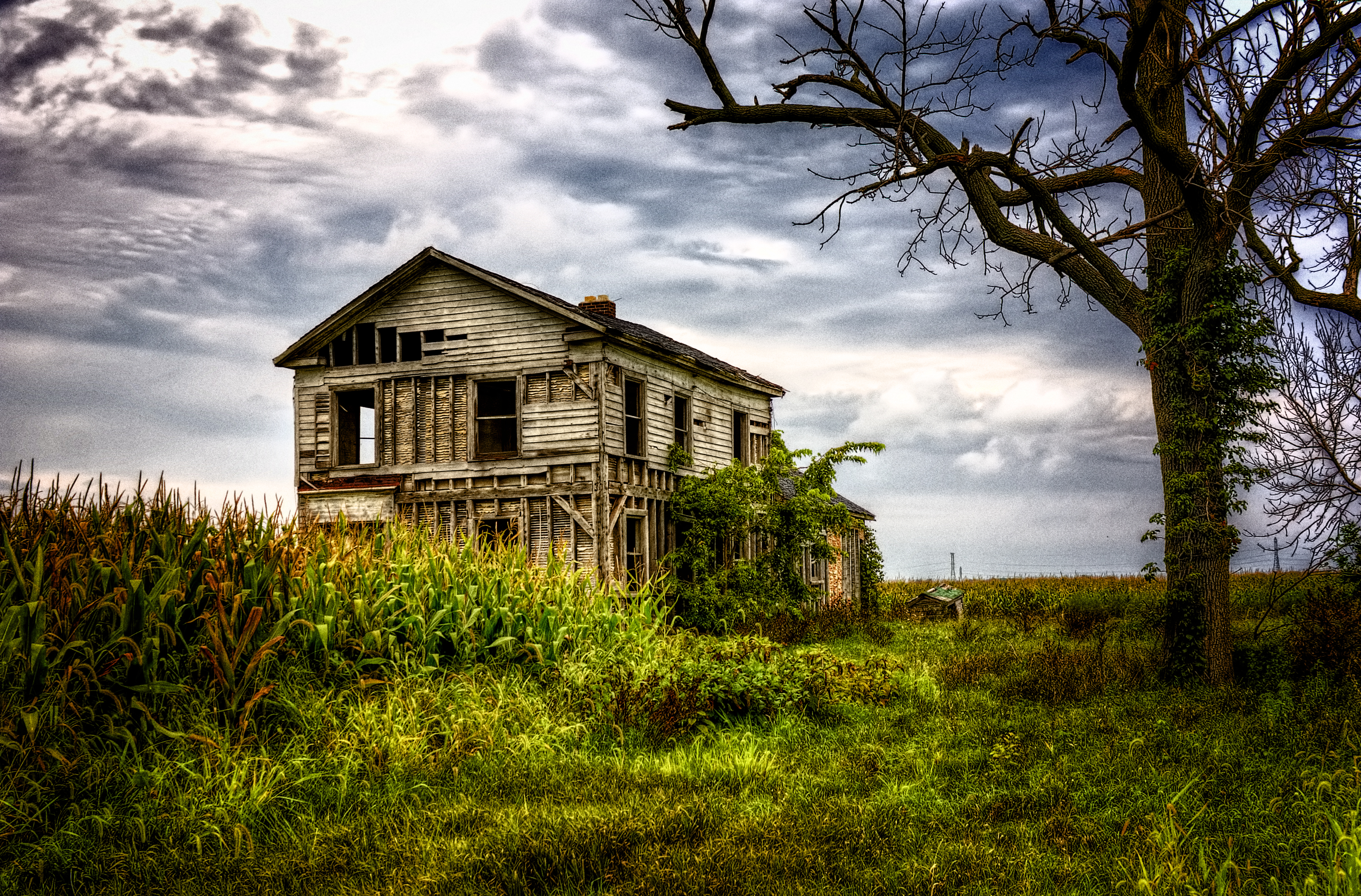
Abandoned Farmhouse Route 582
Summer Nights Rolling In ????????????
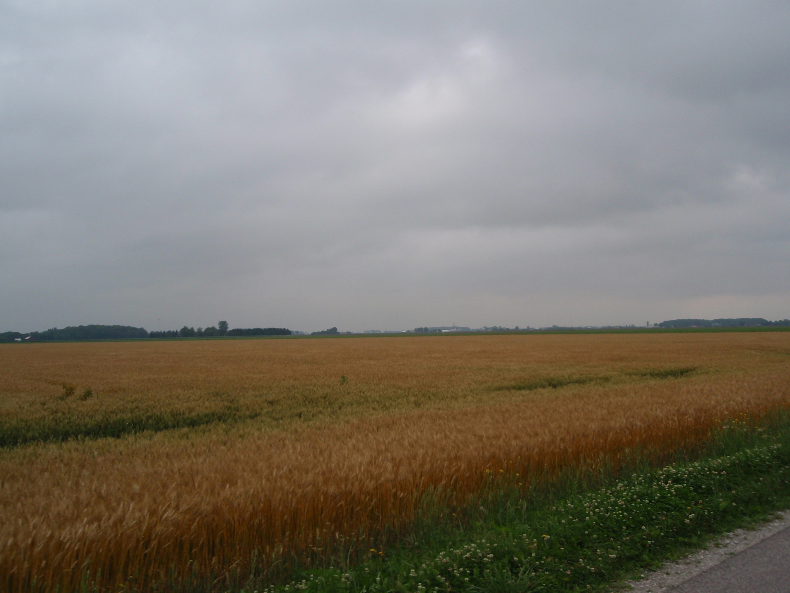
Amber waves of grain
Topographic Map of Pearl St, Bowling Green, OH, USA
Find elevation by address:

Places near Pearl St, Bowling Green, OH, USA:
225 Winfield Dr
150 Vine St
950 W Wooster St
Wood County Hospital | Bowling Green Hospital
300 Pearl St
Main Street Photo & Portrait Studio
Bowling Green
Bowling Green
Bowling Green
Bowling Green
Bowling Green
Bowling Green
Bowling Green
Black Swamp Preserve
209 S Summit St
211 S Enterprise St
Village Dr, Bowling Green, OH, USA
Bgsu Ice Arena
11854 Newton Rd
Portage
Recent Searches:
- Elevation of Corso Fratelli Cairoli, 35, Macerata MC, Italy
- Elevation of Tallevast Rd, Sarasota, FL, USA
- Elevation of 4th St E, Sonoma, CA, USA
- Elevation of Black Hollow Rd, Pennsdale, PA, USA
- Elevation of Oakland Ave, Williamsport, PA, USA
- Elevation of Pedrógão Grande, Portugal
- Elevation of Klee Dr, Martinsburg, WV, USA
- Elevation of Via Roma, Pieranica CR, Italy
- Elevation of Tavkvetili Mountain, Georgia
- Elevation of Hartfords Bluff Cir, Mt Pleasant, SC, USA