Elevation of Viking Mountain Road, Viking Mountain Rd, Tennessee, USA
Location: United States > Tennessee > Greene County > Greeneville >
Longitude: -82.758227
Latitude: 36.0149903
Elevation: 786m / 2579feet
Barometric Pressure: 92KPa
Elevation Map:
Satellite Map:
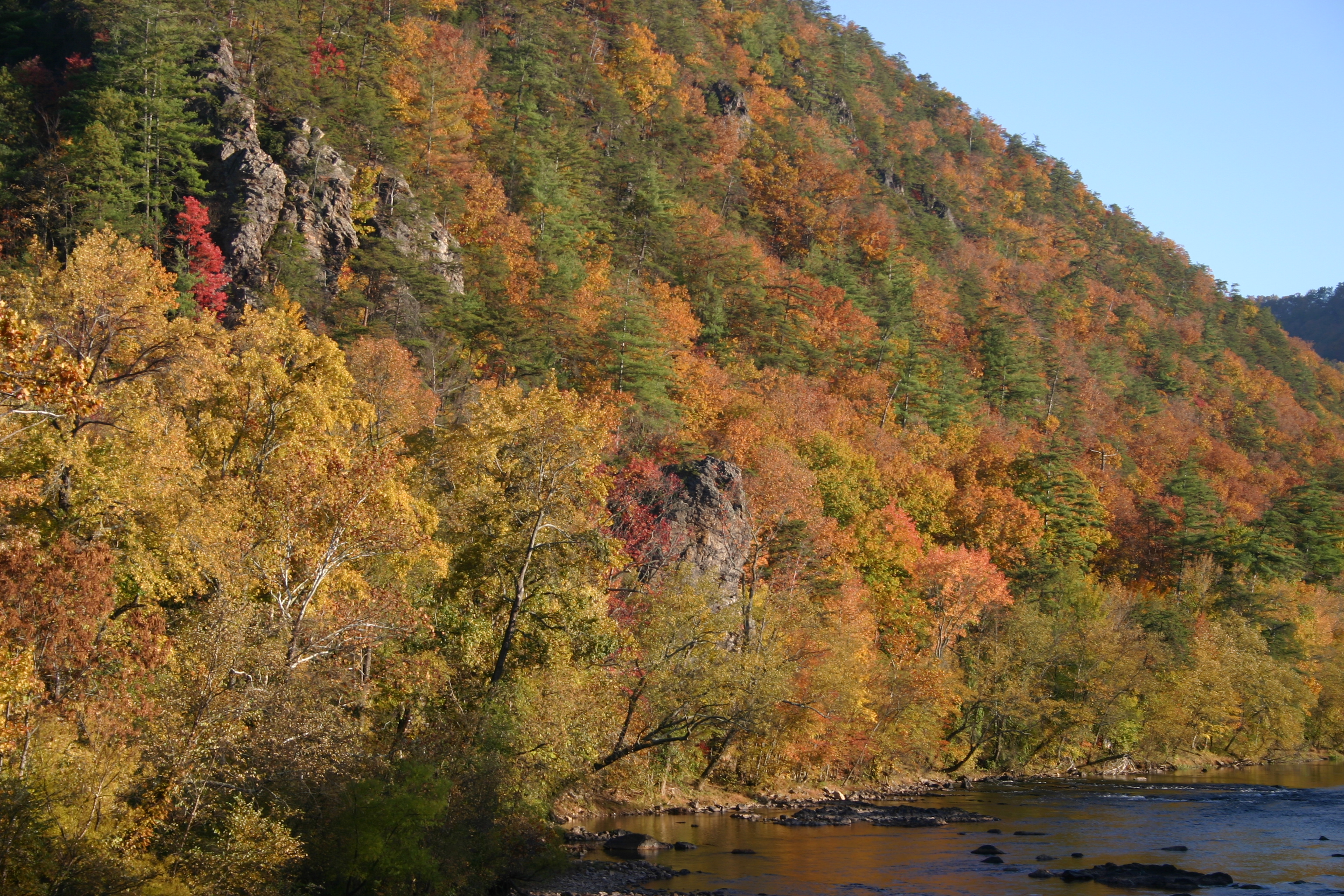
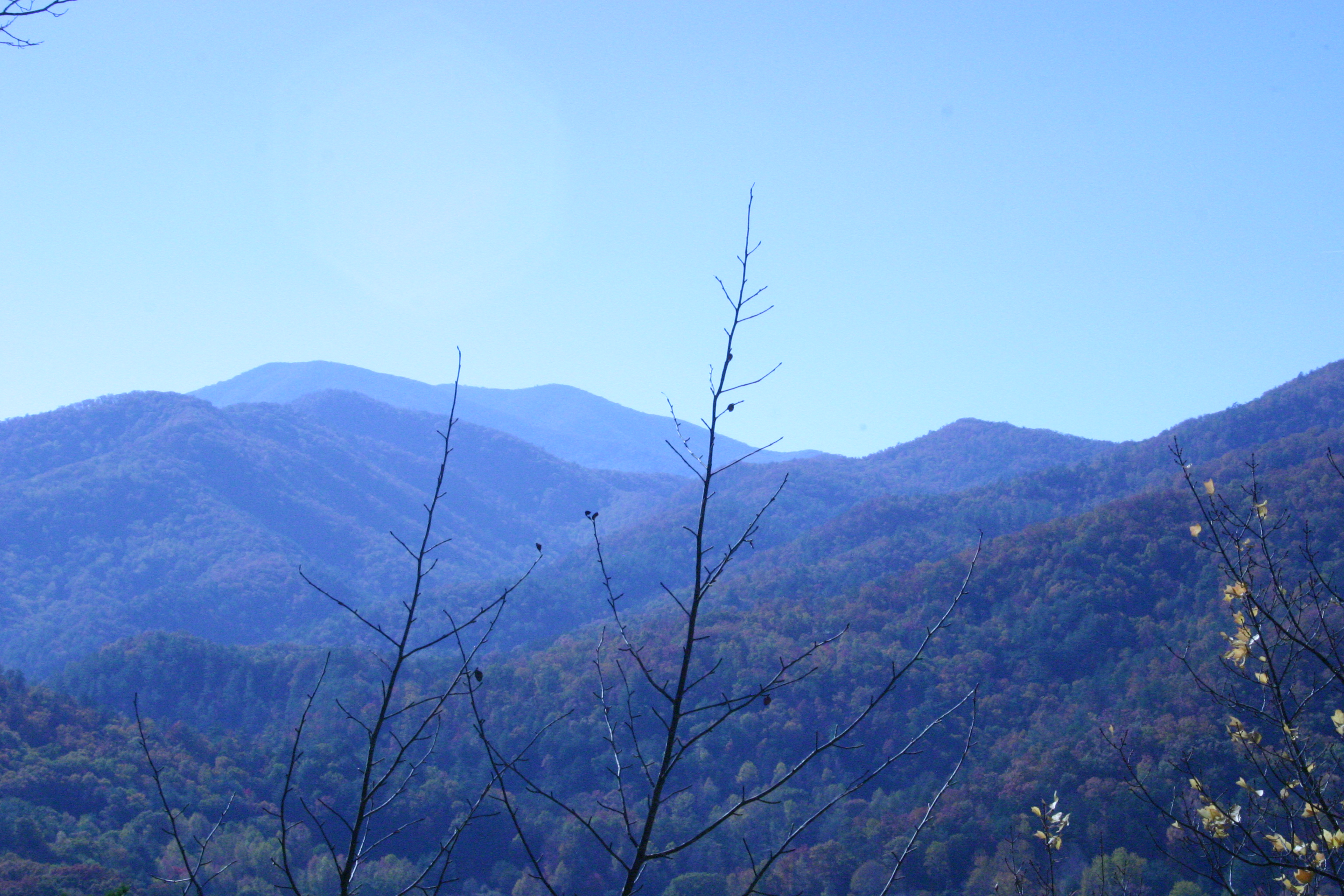
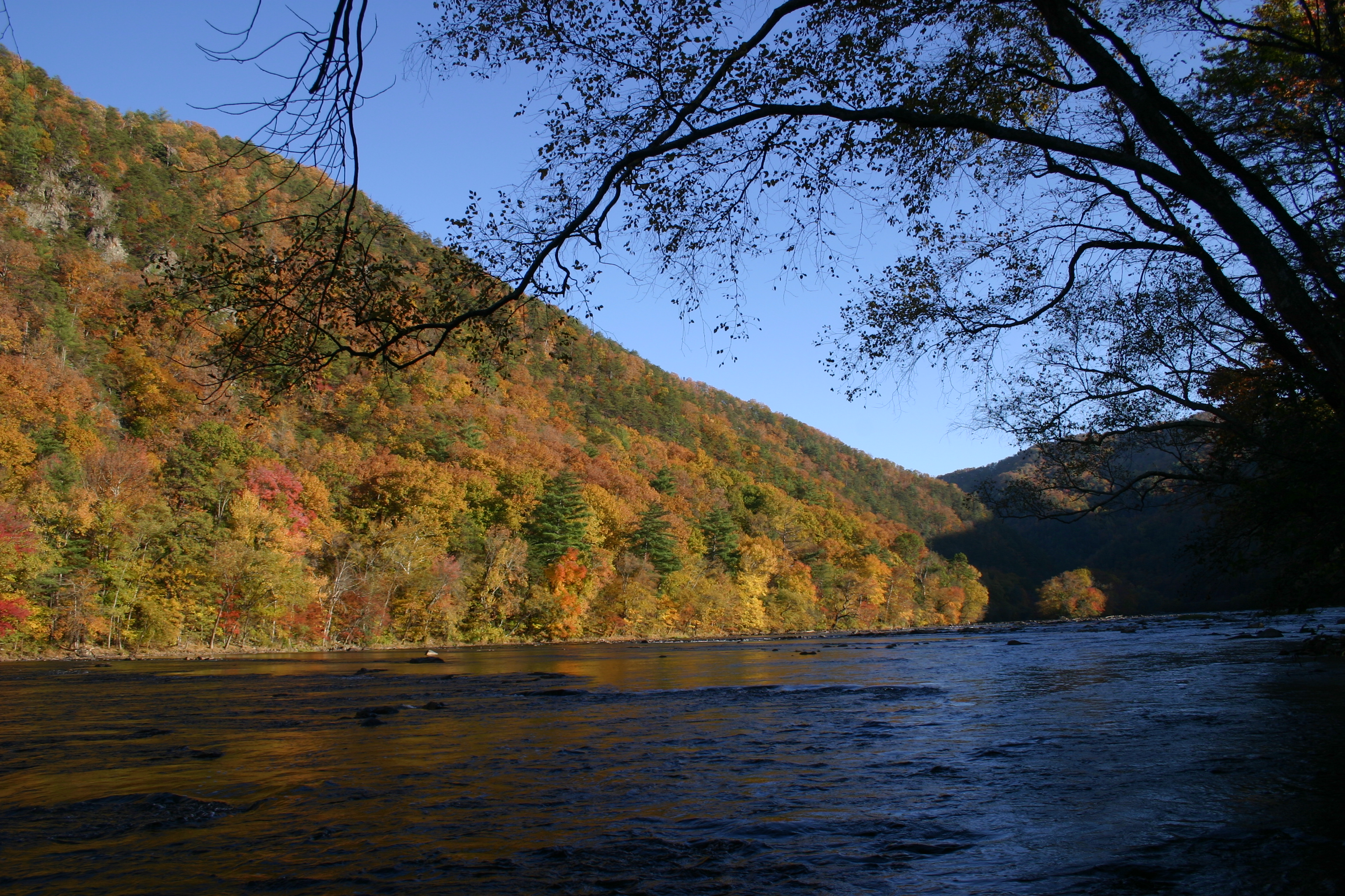
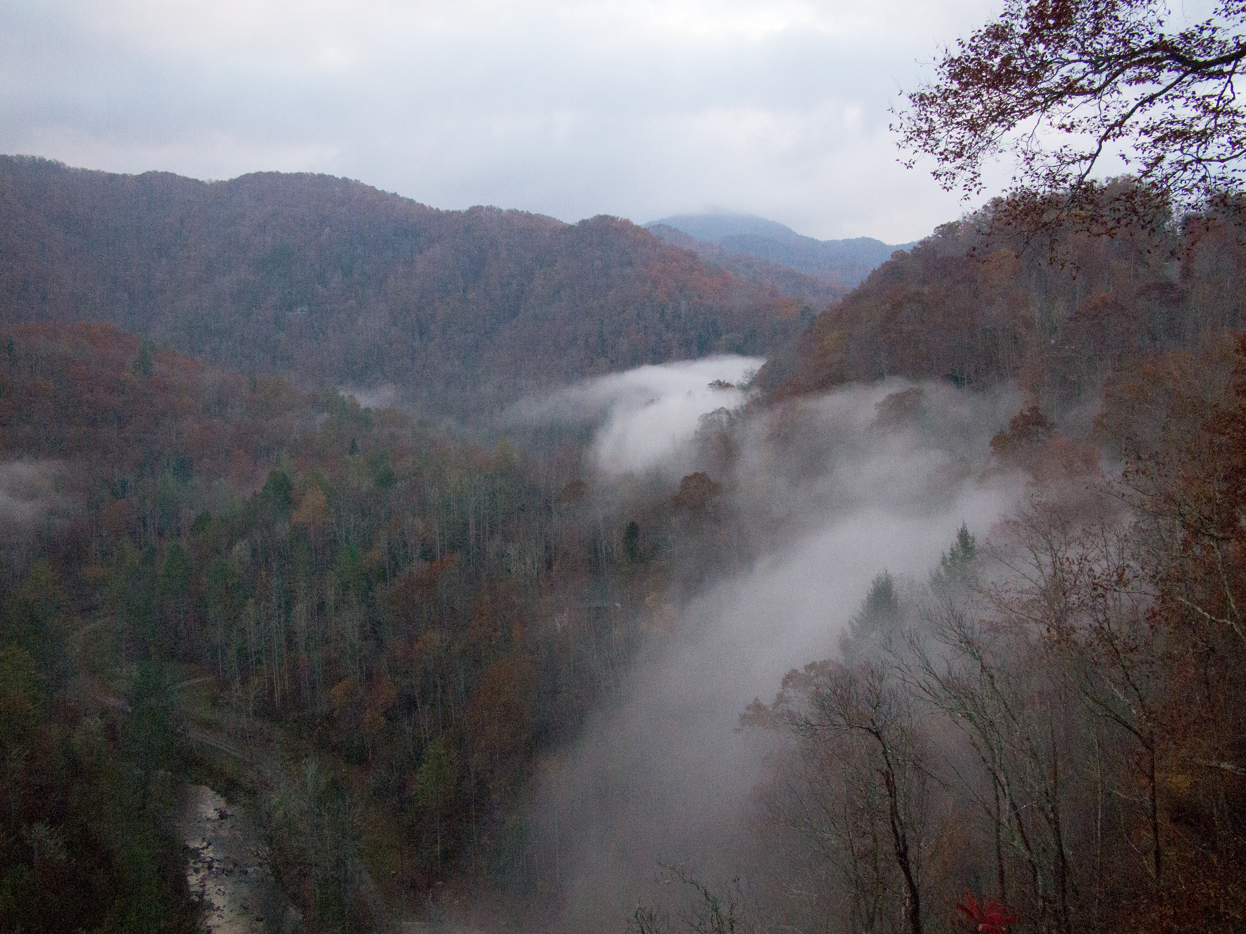
Related Photos:

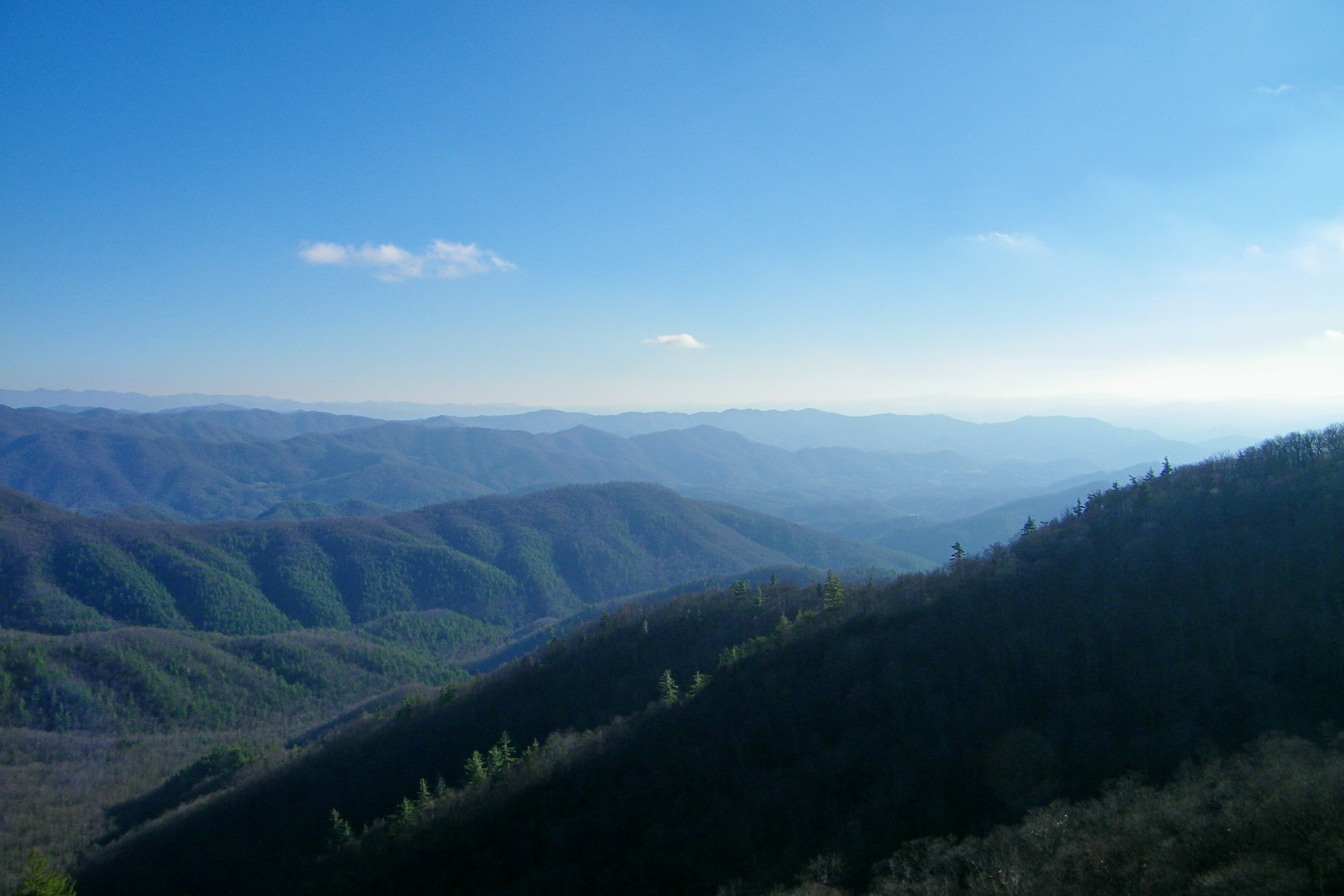
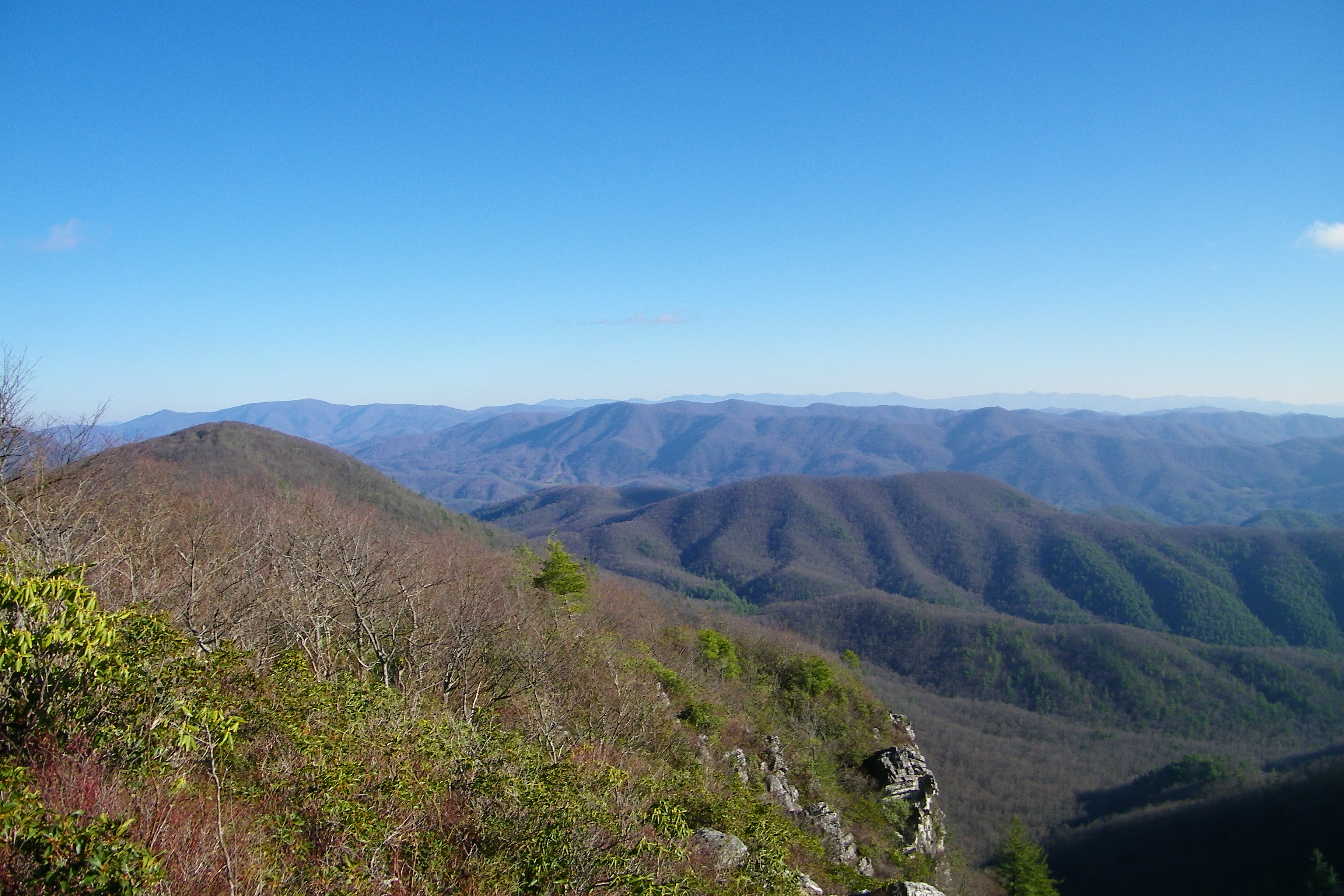
Appalachian Trail

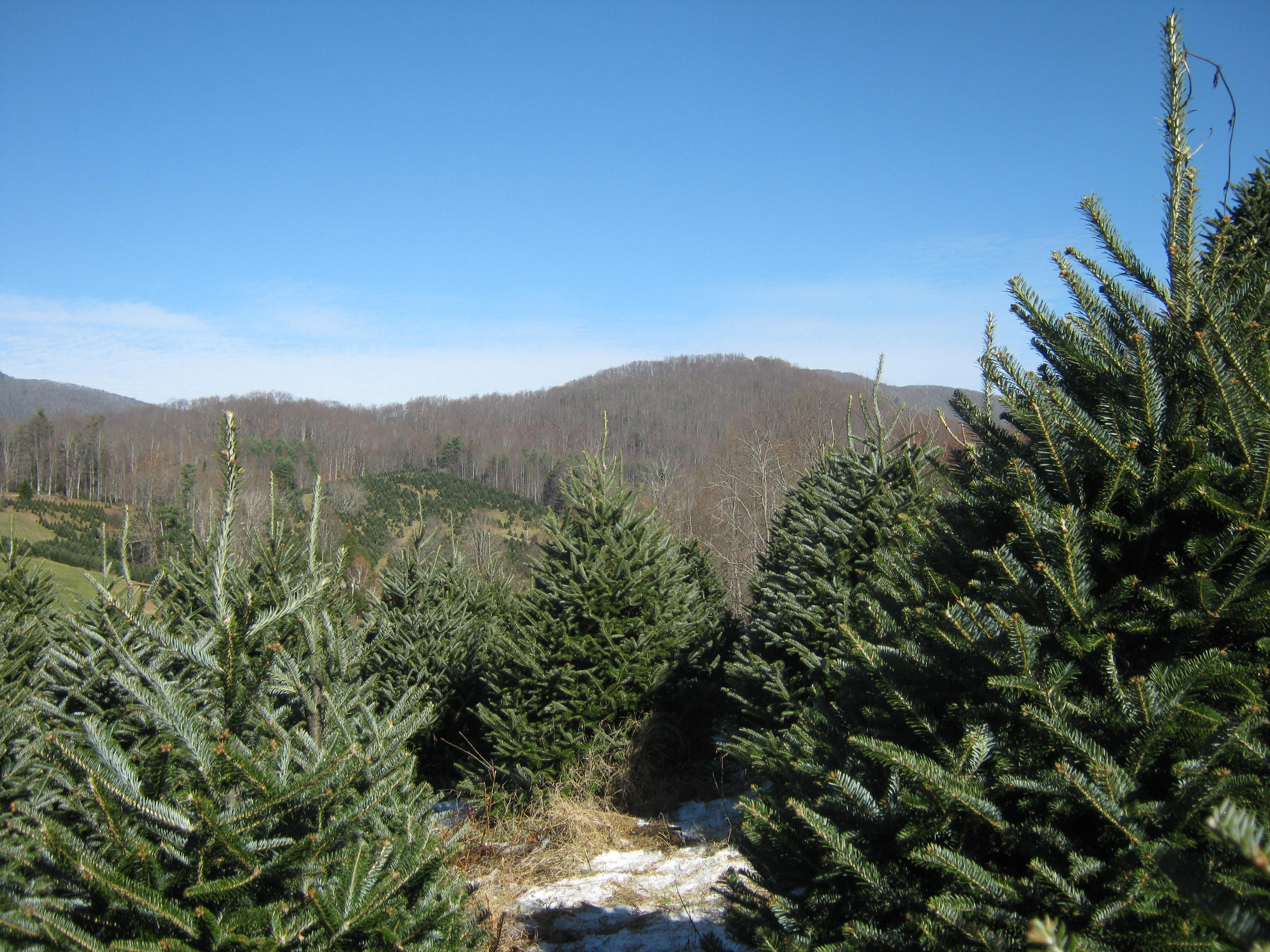
Big Butt - Cold Spring Mountain
Big Butt - Cold Spring Mountain

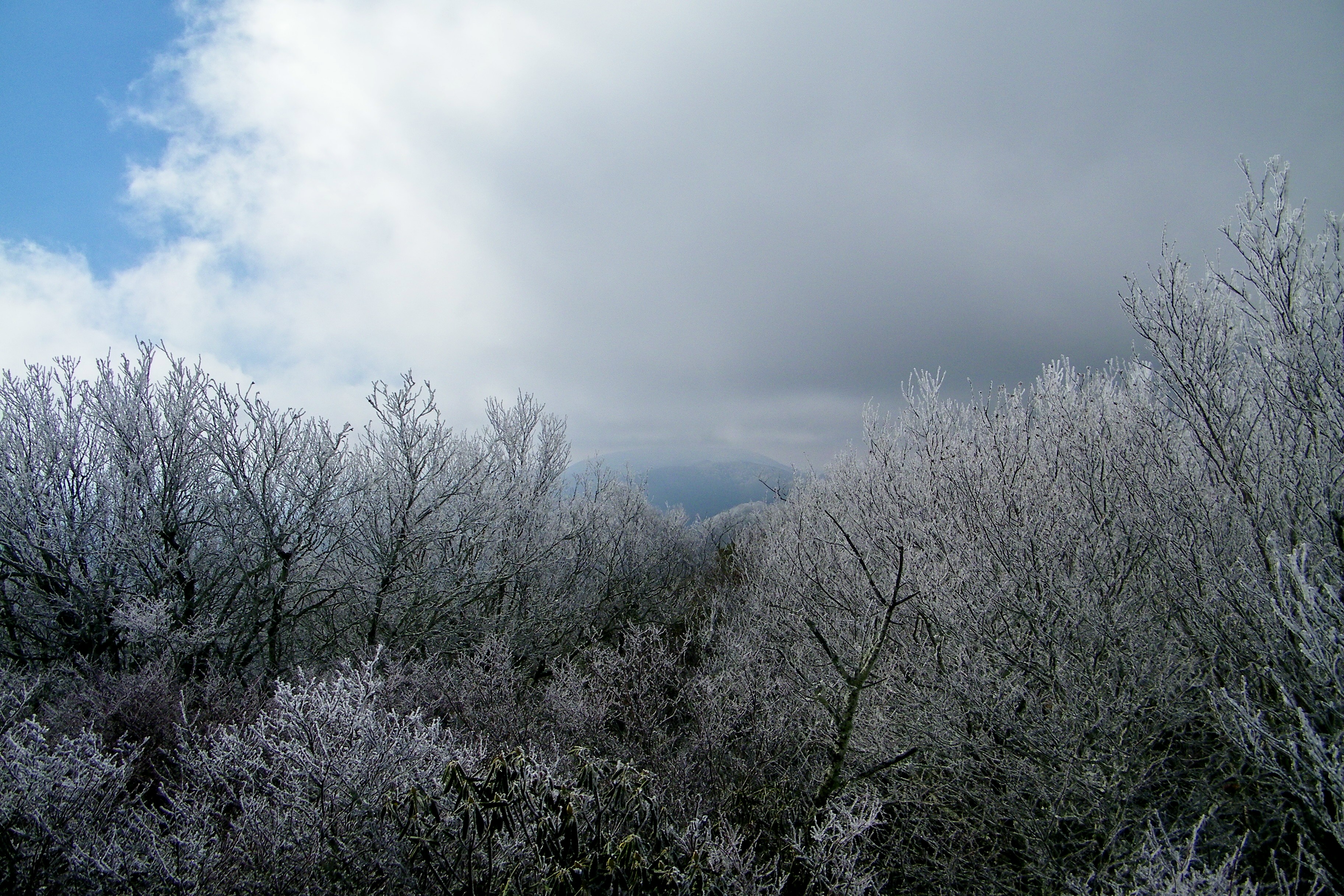
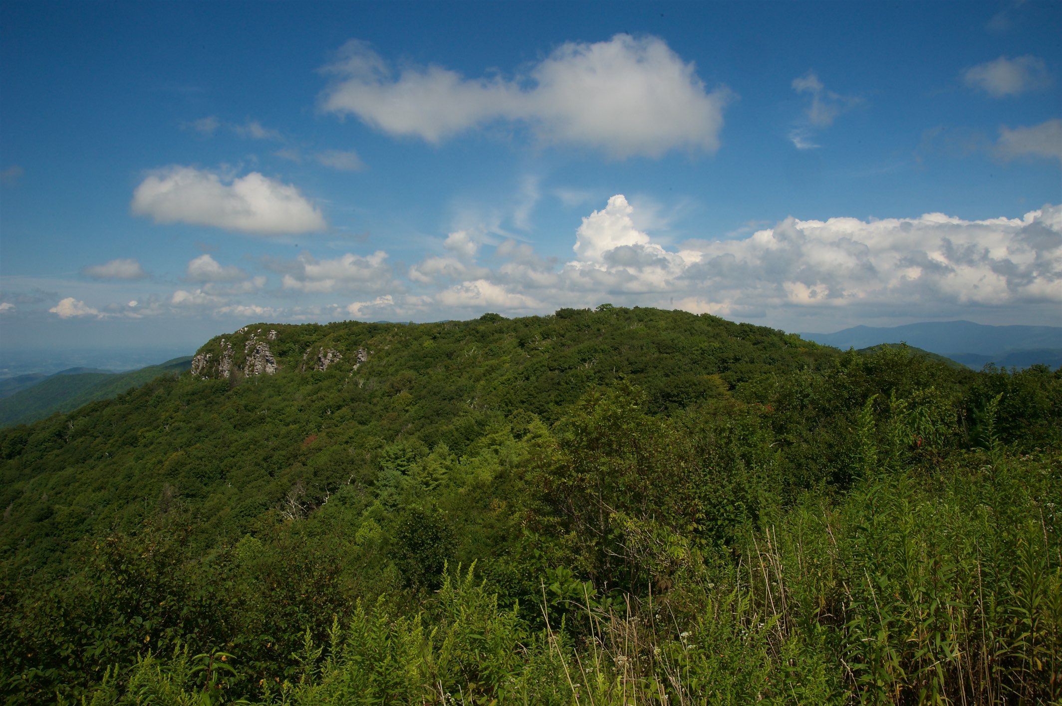
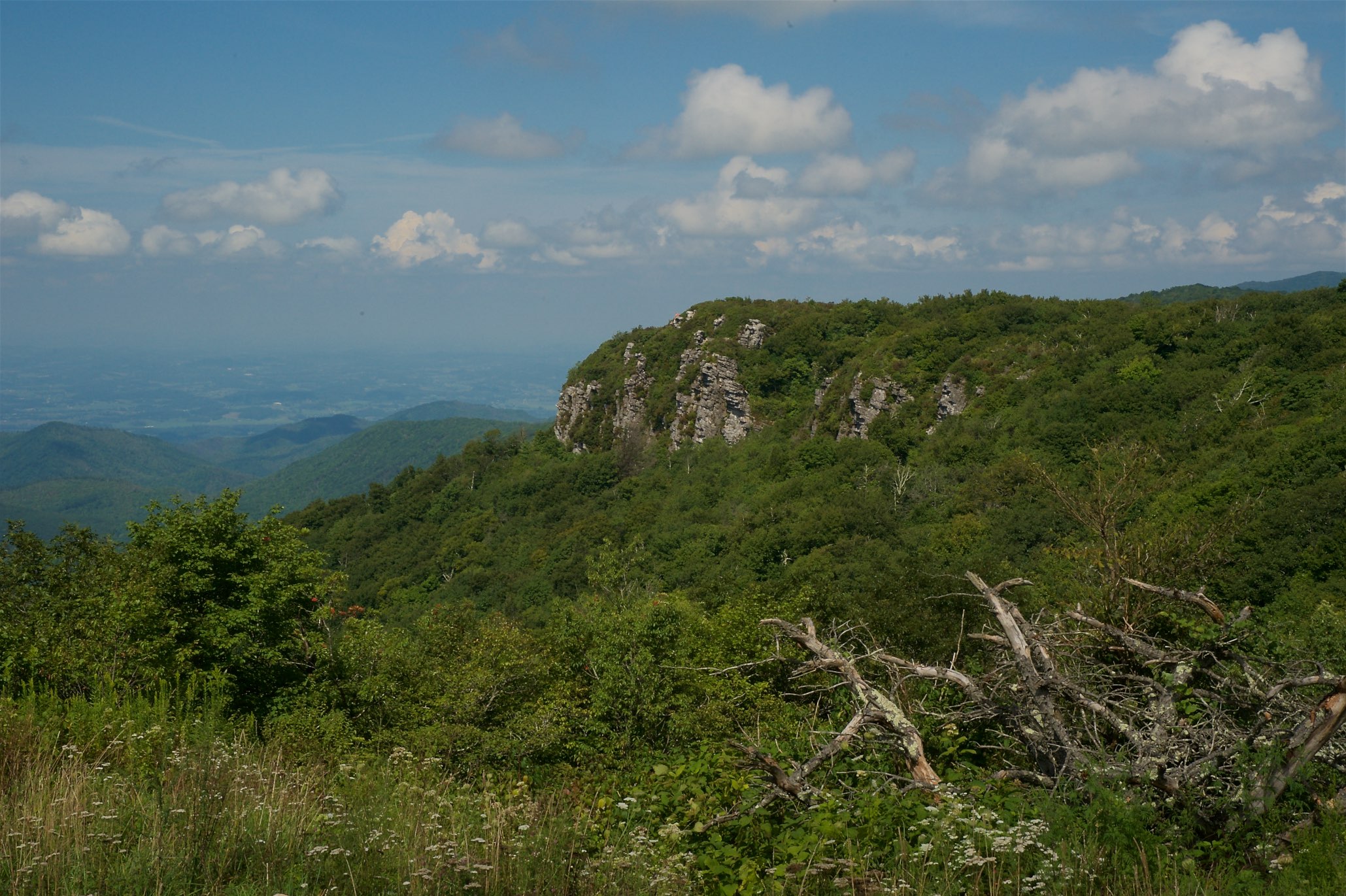
Blackstack Cliffs on Little Firescald Knob
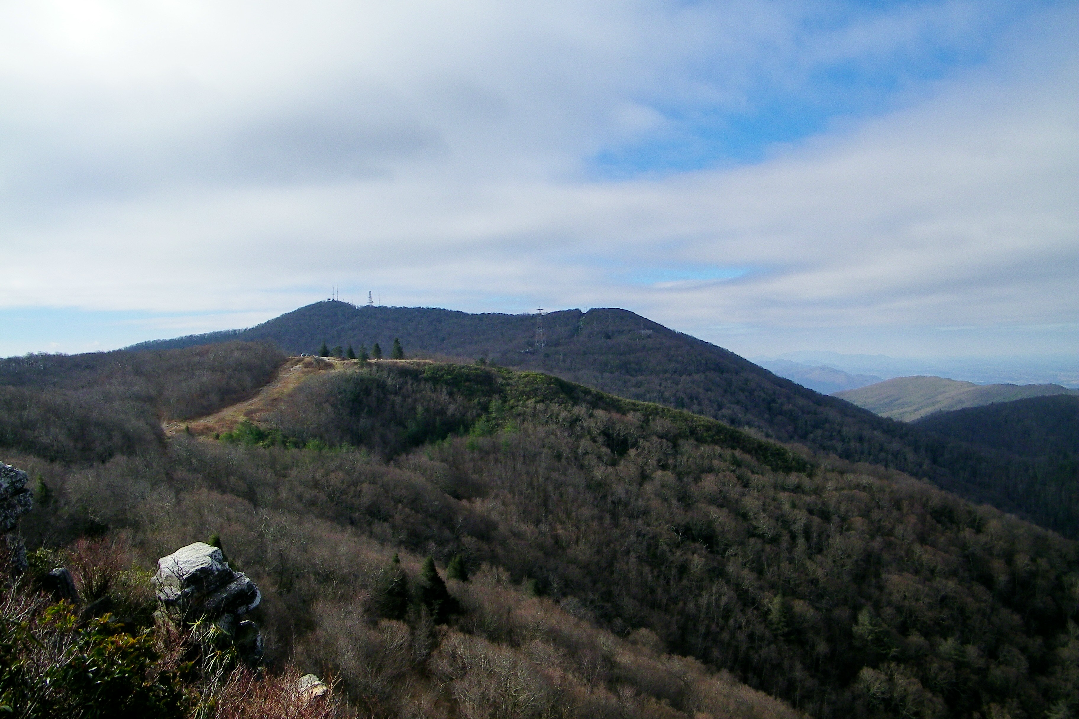
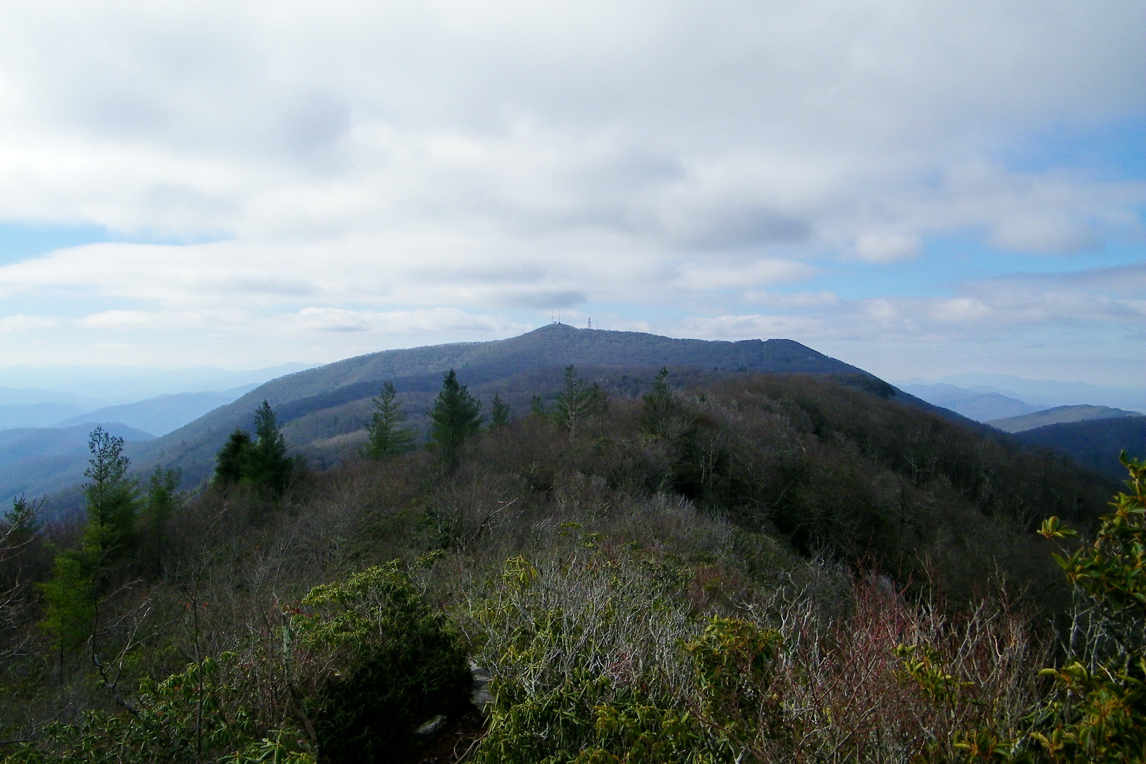
Rich Mountain Fire Tower
Blackstack Cliffs on Little Firescald Knob
Big Firescald Knob
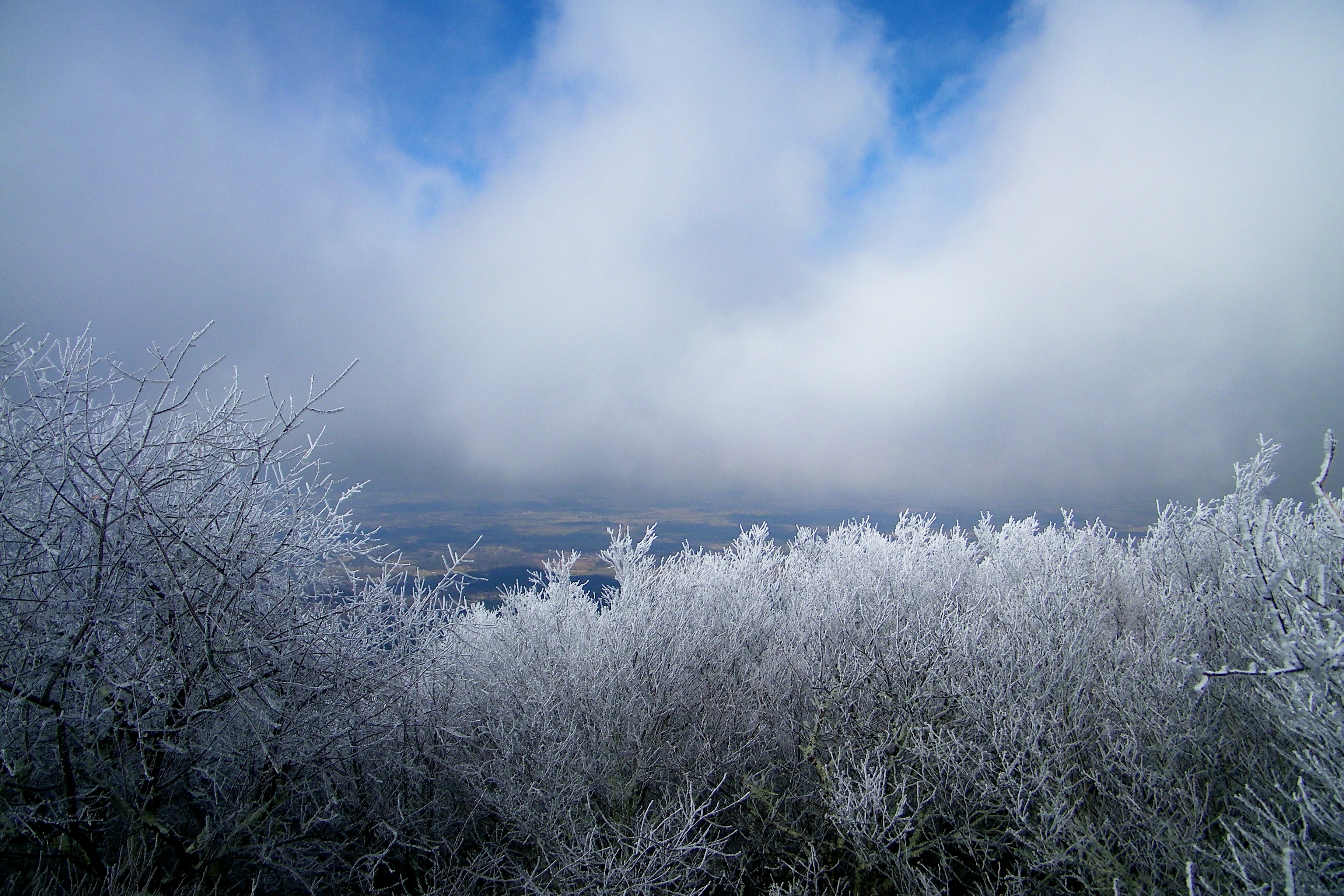
Whiterock Cliffs
View From our Tree
Big Firescald Knob
View of Blackstack Cliffs

Blackstack Cliffs on Little Firescald Knob
Whiterock Cliffs
View of Blackstack Cliffs

Rich Mountain Fire Tower

Rich Mountain Fire Tower
Appalachian Trail
Big Butt - Cold Spring Mountain

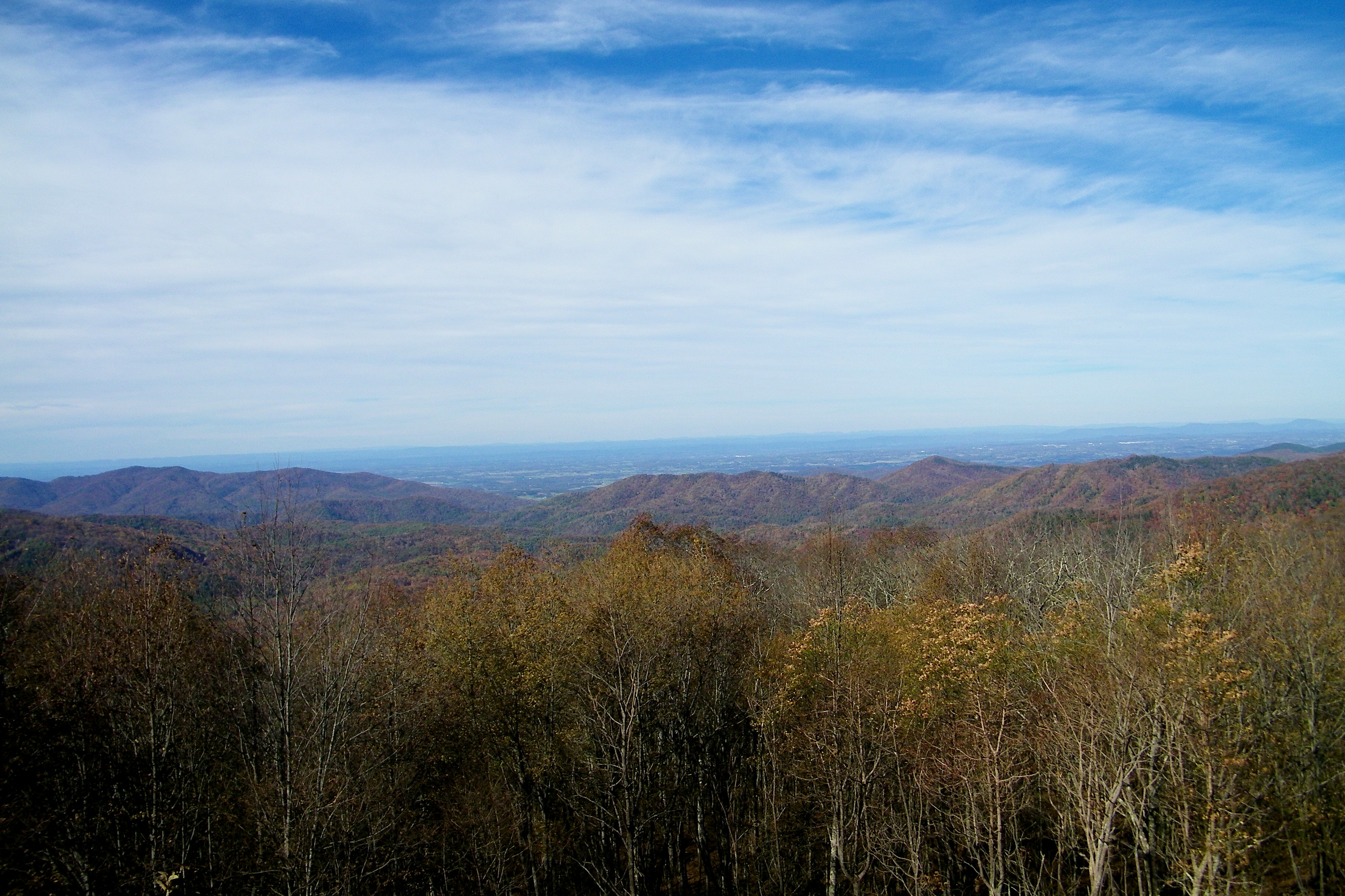
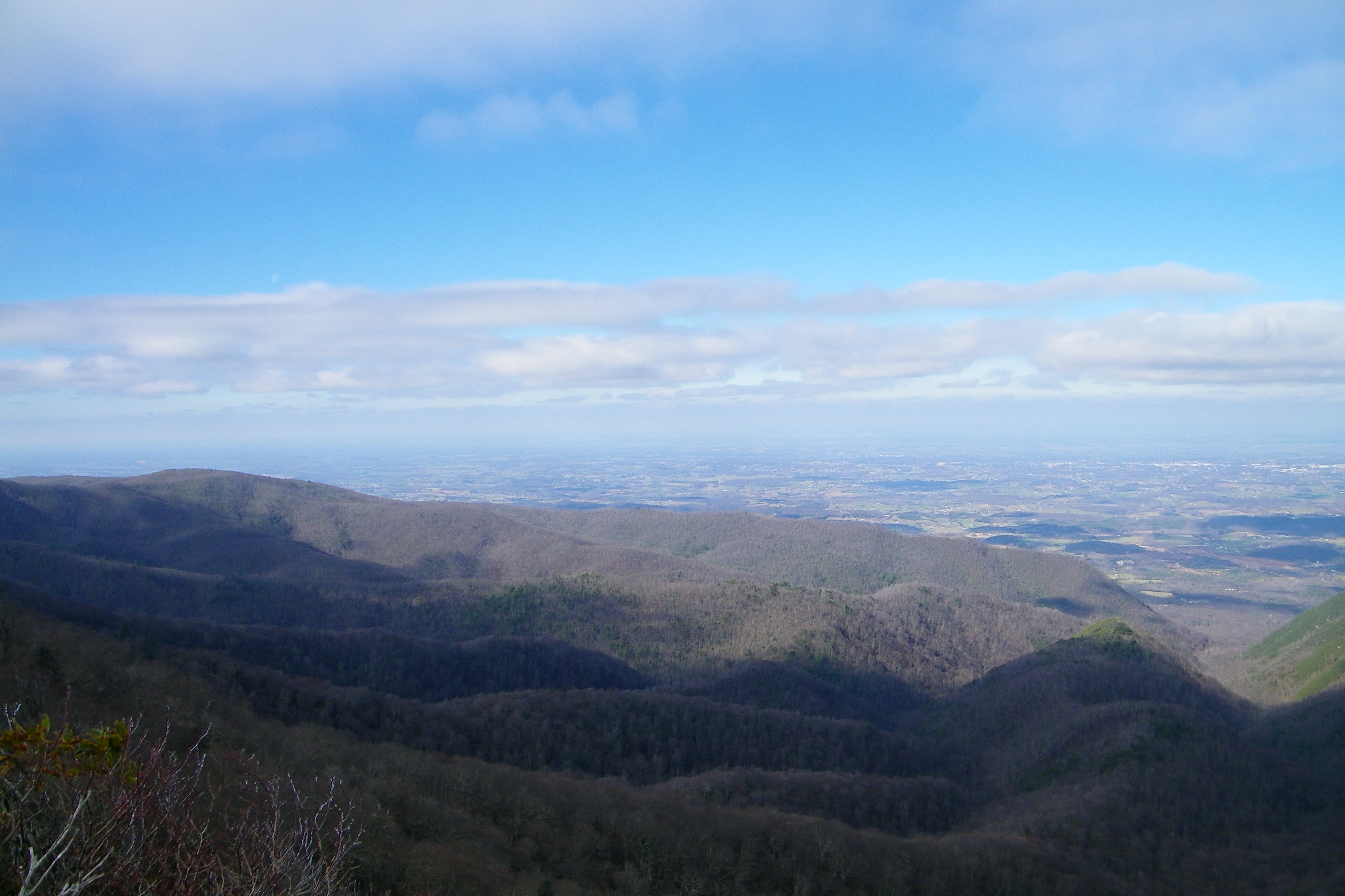
Houston Valley
View from the Rich Mountain lookout tower
Camp Creek Bald Lookout Tower
Down in the Valley
JFRM-2017-04-7044-Pano.jpg
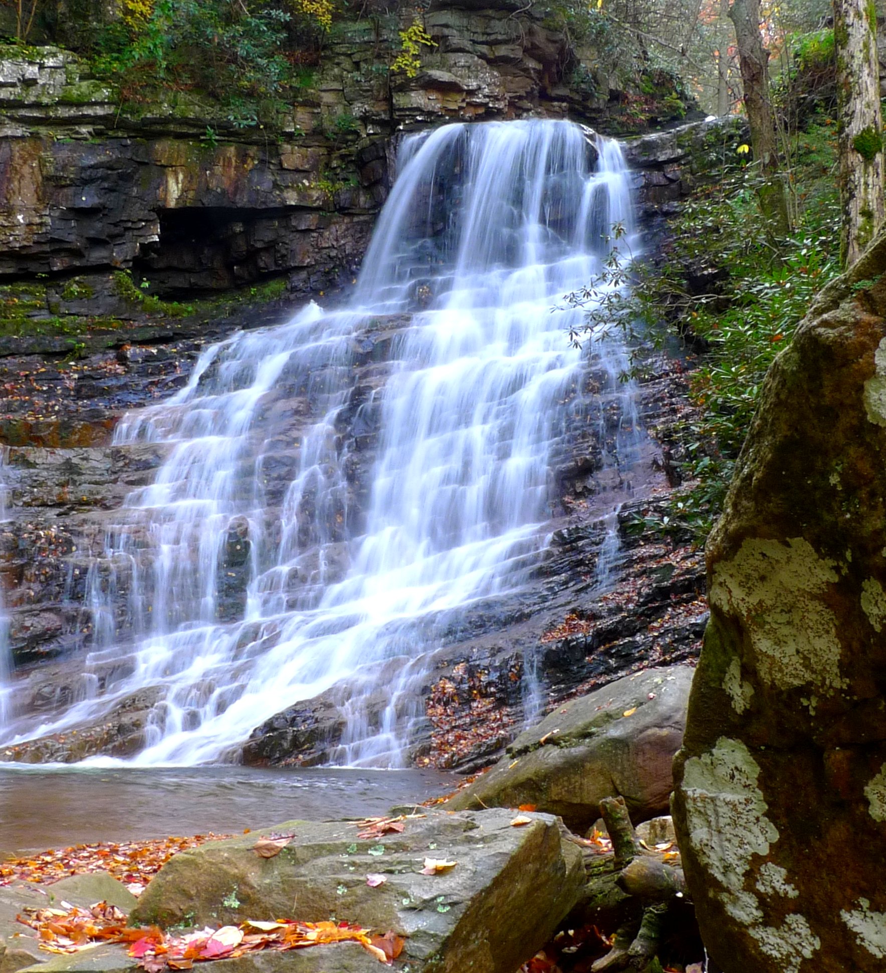
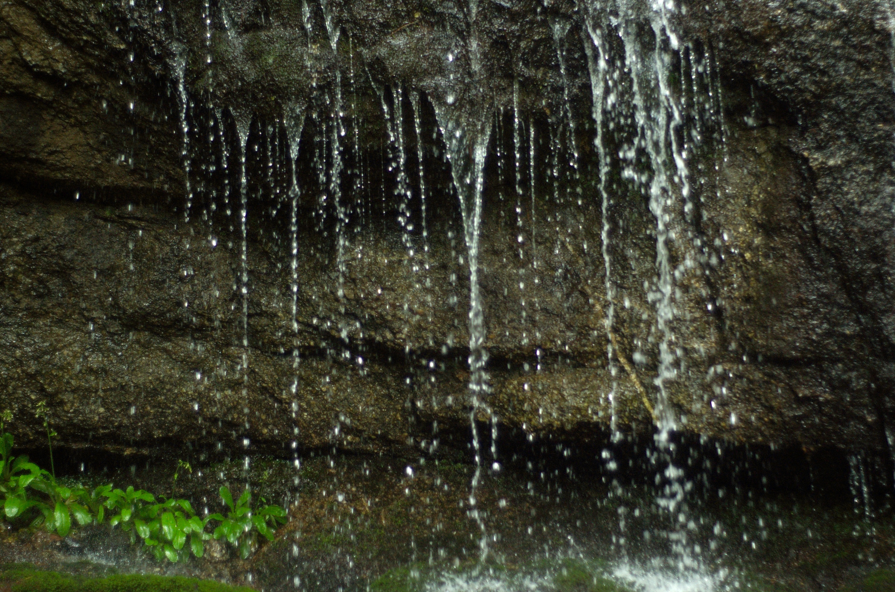
Margarette Falls
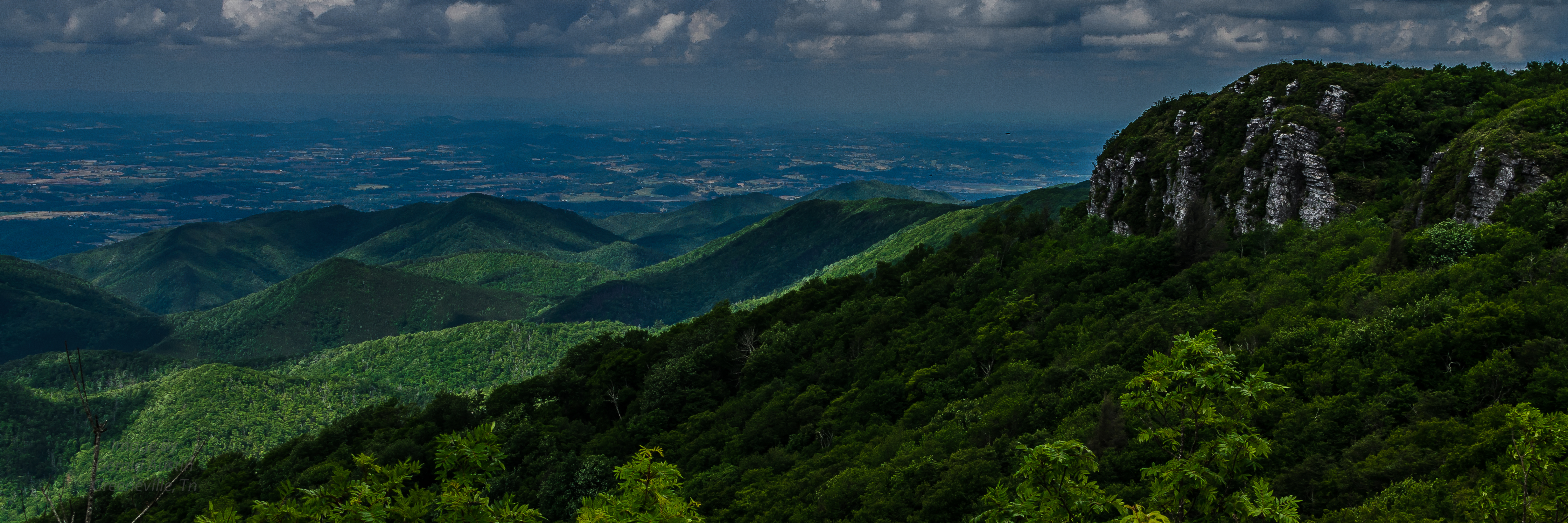
Blackstack Cliffs
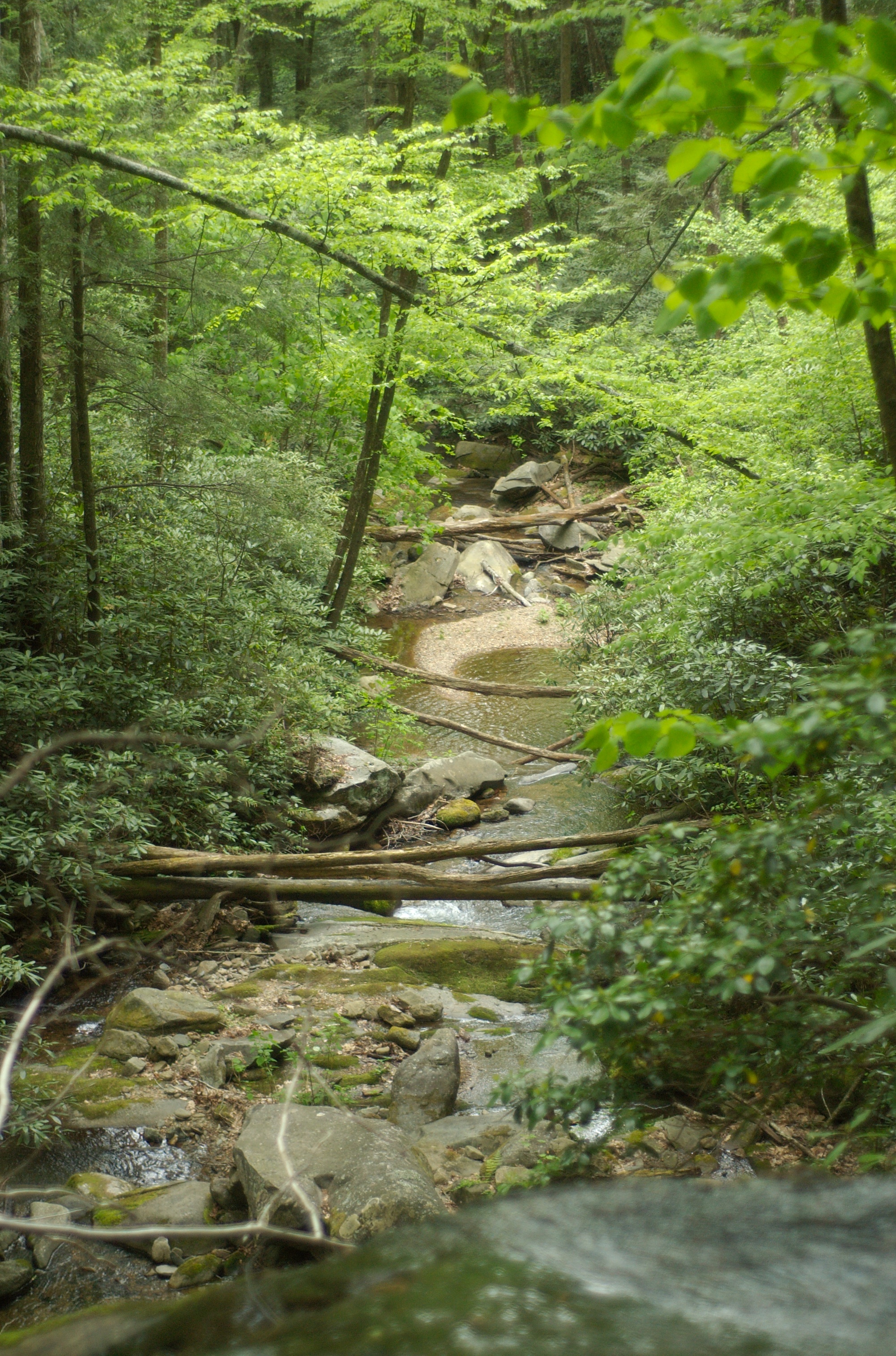
Sampson Mountain Wilderness - Horse Cove - Turkeypen Cove
DSC_0056.jpg

Hot Springs, NC
DSC_0055.jpg

Abandonded Forest Service Road in IR

western north carolina #sky #clouds #appalachian #mountains #landscape

Hot Srings Oct 08 296
DSC_0036.jpg
DSC_0040.jpg
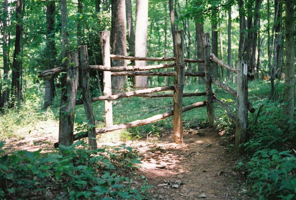
Fence contraption version 1
Hot Srings Oct 08 240
Hot Springs Oct 08 197
Hot Srings Oct 08 228
20131103-PB034447
Hot Srings Oct 08 257
Topographic Map of Viking Mountain Road, Viking Mountain Rd, Tennessee, USA
Find elevation by address:

Places near Viking Mountain Road, Viking Mountain Rd, Tennessee, USA:
Viking Mountain Road
2308 Viking Mountain Rd
445 Log Cabin Rd
1562 Viking Mountain Rd
500 Log Cabin Rd
1600 Viking Mountain Rd
335 Desormeaux Way
8985 Nc-208
541 Viking Mountain Rd
161 Viking Mountain Rd
Allenstand
6659 Nc-208
North Carolina 208
Bryn Mawr Lane
345 Kitchen Branch Rd
Joe Tweed Road
127 Middle Laurel Church Rd
240 Orrick Ln
146 Hazel Shelton Ln
896 Rollins Chapel Rd
Recent Searches:
- Elevation of Corso Fratelli Cairoli, 35, Macerata MC, Italy
- Elevation of Tallevast Rd, Sarasota, FL, USA
- Elevation of 4th St E, Sonoma, CA, USA
- Elevation of Black Hollow Rd, Pennsdale, PA, USA
- Elevation of Oakland Ave, Williamsport, PA, USA
- Elevation of Pedrógão Grande, Portugal
- Elevation of Klee Dr, Martinsburg, WV, USA
- Elevation of Via Roma, Pieranica CR, Italy
- Elevation of Tavkvetili Mountain, Georgia
- Elevation of Hartfords Bluff Cir, Mt Pleasant, SC, USA