Elevation of Viking Mountain Road, Viking Mountain Rd, Greeneville, TN, USA

Location: United States > Tennessee > Greene County > Greeneville >

Longitude: -82.758227

Latitude: 36.0149903

Elevation: -10000m / -32808feet

Barometric Pressure: 295KPa

Elevation Map:

elevation map of Viking Mountain Road, Viking Mountain Rd, Greeneville, TN, USA

Satellite Map:

Satellite map of Viking Mountain Road, Viking Mountain Rd, Greeneville, TN, USA

Related Photos:

mountain big butt coldspring apalachian
Big Butt - Cold Spring Mountain
mountain big butt coldspring apalachian
Big Butt - Cold Spring Mountain
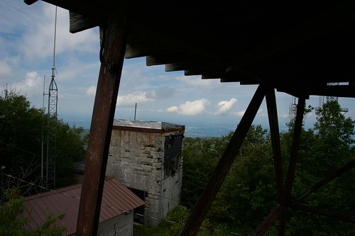
camp tower creek bald lookout
Camp Creek Bald Lookout Tower
little tennessee cliffs appalachian knob greeneville firescald blackstack
Blackstack Cliffs on Little Firescald Knob
camp mountain ski tower creek bald lookout resort viking
Camp Creek Bald Lookout Tower
big appalachian knob firescald
Big Firescald Knob
camp tower creek bald lookout
Camp Creek Bald Lookout Tower
camp tower creek tennessee bald lookout greeneville
Camp Creek Bald Lookout Tower
camp ski creek little bald cliffs resort appalachian knob viking firescald blackstack
Blackstack Cliffs on Little Firescald Knob
big tennessee appalachian knob greeneville firescald
Big Firescald Knob
camp creek bald sota summitsontheair elecraftkx3 ki4svm wh6le 88doublet hardrock50 w4ccm028
View of Blackstack Cliffs
cliffs whiterock appalachian
Whiterock Cliffs
camp creek bald sota summitsontheair elecraftkx3 ki4svm wh6le 88doublet hardrock50 w4ccm028
View of Blackstack Cliffs
camp creek bald sota summitsontheair elecraftkx3 ki4svm wh6le 88doublet hardrock50 w4ccm028
View of Blackstack Cliffs
camp creek bald sota summitsontheair elecraftkx3 ki4svm wh6le 88doublet hardrock50 w4ccm028
View from W4C/CM-028 - Camp Creek Bald
rich mountain fire lookout tower pisgah appalachian
Rich Mountain Fire Tower
appalachian firescold knob blue white
Appalachian Trail
travel mountains
tracks & mountains
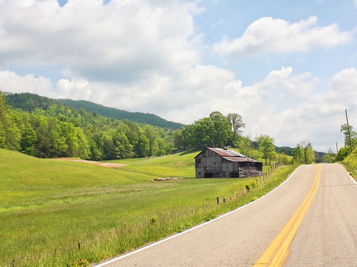
road barn rural farm tennessee greenecounty
Houston Valley
camp creek bald sota summitsontheair elecraftkx3 ki4svm wh6le 88doublet hardrock50 w4ccm028
View of W4C/CM-028 - Camp Creek Bald
camp creek bald sota summitsontheair elecraftkx3 ki4svm wh6le 88doublet hardrock50 w4ccm028
View from W4C/CM-028 - Camp Creek Bald
snow mountains clouds farm tennessee valley snowcovered
Down in the Valley
Paint Creek under starlight
clouds northcarolina best hotsprings appalachiantrail frenchbroadriver loversleap
French Broad River and Hot Springs, North Carolina from Lover's Leap on the Appalachian Trail.
d50 wnc pisgahnatlforest hiking nc blueridgemountains waterfalls hickeycreekfalls luxifurr
DSC_0057.jpg
d50 wnc pisgahnatlforest hiking nc blueridgemountains waterfalls hickeycreekfalls luxifurr
DSC_0055.jpg
tennessee cherokeenationalforest greenvilletn d5100
Blackstack Cliffs
bigfirescaldknob usa panorama appalachiantrail tennessee greeneville northcarolina unitedstates us
JFRM-2017-04-7044-Pano.jpg
Hot Springs, NC
Hot Srings Oct 08 296
d50 wnc pisgahnatlforest hiking nc blueridgemountains waterfalls hickeycreekfalls luxifurr
DSC_0036.jpg
d50 wnc pisgahnatlforest hiking nc blueridgemountains waterfalls hickeycreekfalls luxifurr
DSC_0040.jpg
margarette fallscedited1
Margarette Falls, TN
Hot Srings Oct 08 242
Scribbles AT Hike 2011-05-06 @ 14-17-35
Hot Springs Oct 08 179
{vision}:{outdoor}=0936 {vision}:{sky}=0528
Snowy Creek
maxpatch grassybald travelnorthcarolina hotspringsnorthcarolina
Max Patch - North Carolina - Appalachain Trail
november northcarolina riverdance 2013
20131103-PB034447
Hot Springs Oct 08 197
Hot Springs Oct 08 017