Elevation of NC-, Marshall, NC, USA
Location: United States > North Carolina > Madison County > 1, North Marshall > Marshall >
Longitude: -82.782132
Latitude: 35.9870189
Elevation: 691m / 2267feet
Barometric Pressure: 93KPa
Elevation Map:
Satellite Map:
Related Photos:
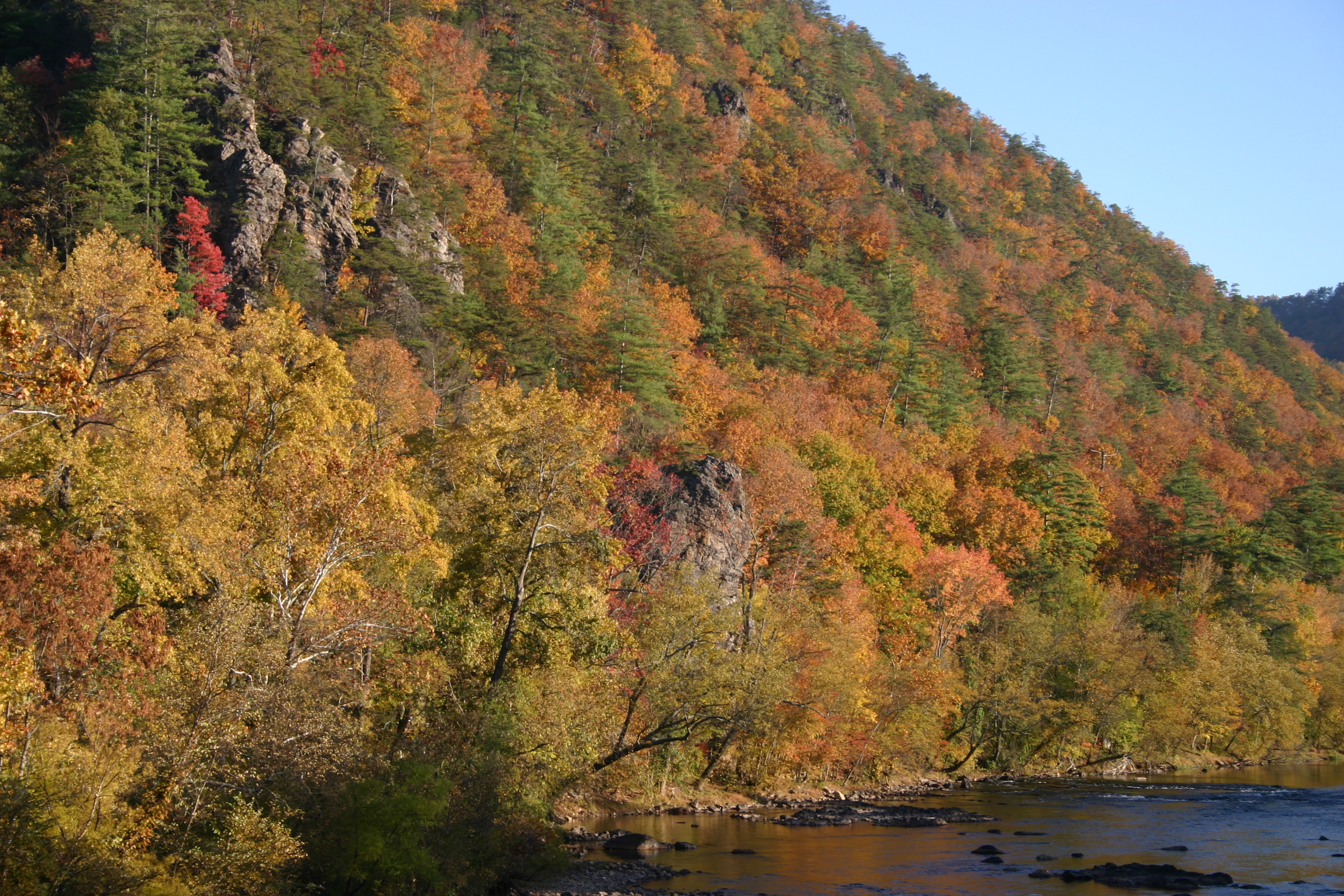
Houston Valley

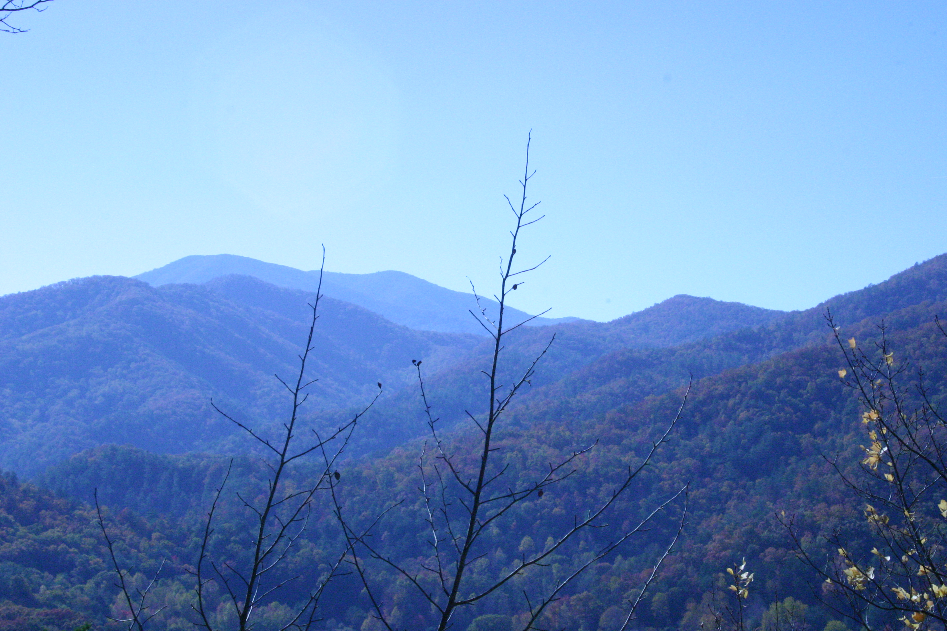
View from the Rich Mountain lookout tower

Big Butt - Cold Spring Mountain

Big Butt - Cold Spring Mountain

NC 209 Scenic View

Camp Creek Bald Lookout Tower

View of W4C/CM-110 Rich Mtn

Blackstack Cliffs on Little Firescald Knob

View of W4C/CM-110 Rich Mtn

Camp Creek Bald Lookout Tower

Blackstack Cliffs on Little Firescald Knob

Big Firescald Knob

View of W4C/CM-035 - Bluff Mtn

View from W4C/CM-028 - Camp Creek Bald

Rich Mountain Fire Tower

Whiterock Cliffs

View From our Tree

Big Firescald Knob

View of Blackstack Cliffs

Blackstack Cliffs on Little Firescald Knob

Whiterock Cliffs
20131103-P1050456

DSC_0056.jpg

DSC_0055.jpg

Abandonded Forest Service Road in IR
JFRM-2017-04-7044-Pano.jpg

Hot Springs, NC

western north carolina #sky #clouds #appalachian #mountains #landscape
Hot Srings Oct 08 296

DSC_0036.jpg

DSC_0040.jpg
Hot Srings Oct 08 240

Allen Branch Pond, Cherokee National Forest, Tennessee

Hot Srings Oct 08 228

20131103-PB034447
Hot Springs Oct 08 197

Margarette Falls

Hot Srings Oct 08 257

Hot Springs Oct 08 017

IMG_1142_Fall.jpg

Hot Springs Oct 08 126
Topographic Map of NC-, Marshall, NC, USA
Find elevation by address:

Places near NC-, Marshall, NC, USA:
161 Viking Mountain Rd
541 Viking Mountain Rd
335 Desormeaux Way
500 Log Cabin Rd
445 Log Cabin Rd
1600 Viking Mountain Rd
1562 Viking Mountain Rd
2308 Viking Mountain Rd
6659 Nc-208
Allenstand
Viking Mountain Road
Viking Mountain Road
North Carolina 208
896 Rollins Chapel Rd
345 Kitchen Branch Rd
900 Rollins Chapel Rd
146 Hazel Shelton Ln
1360 Lower Paint Creek Rd
240 Orrick Ln
611 Coppersnake Holler Rd
Recent Searches:
- Elevation of Corso Fratelli Cairoli, 35, Macerata MC, Italy
- Elevation of Tallevast Rd, Sarasota, FL, USA
- Elevation of 4th St E, Sonoma, CA, USA
- Elevation of Black Hollow Rd, Pennsdale, PA, USA
- Elevation of Oakland Ave, Williamsport, PA, USA
- Elevation of Pedrógão Grande, Portugal
- Elevation of Klee Dr, Martinsburg, WV, USA
- Elevation of Via Roma, Pieranica CR, Italy
- Elevation of Tavkvetili Mountain, Georgia
- Elevation of Hartfords Bluff Cir, Mt Pleasant, SC, USA