Elevation of Viimolantie, Rautjärvi, Finland
Location: Finland > Rautjärvi >
Longitude: 29.1062382
Latitude: 61.3162641
Elevation: 97m / 318feet
Barometric Pressure: 100KPa
Elevation Map:
Satellite Map:
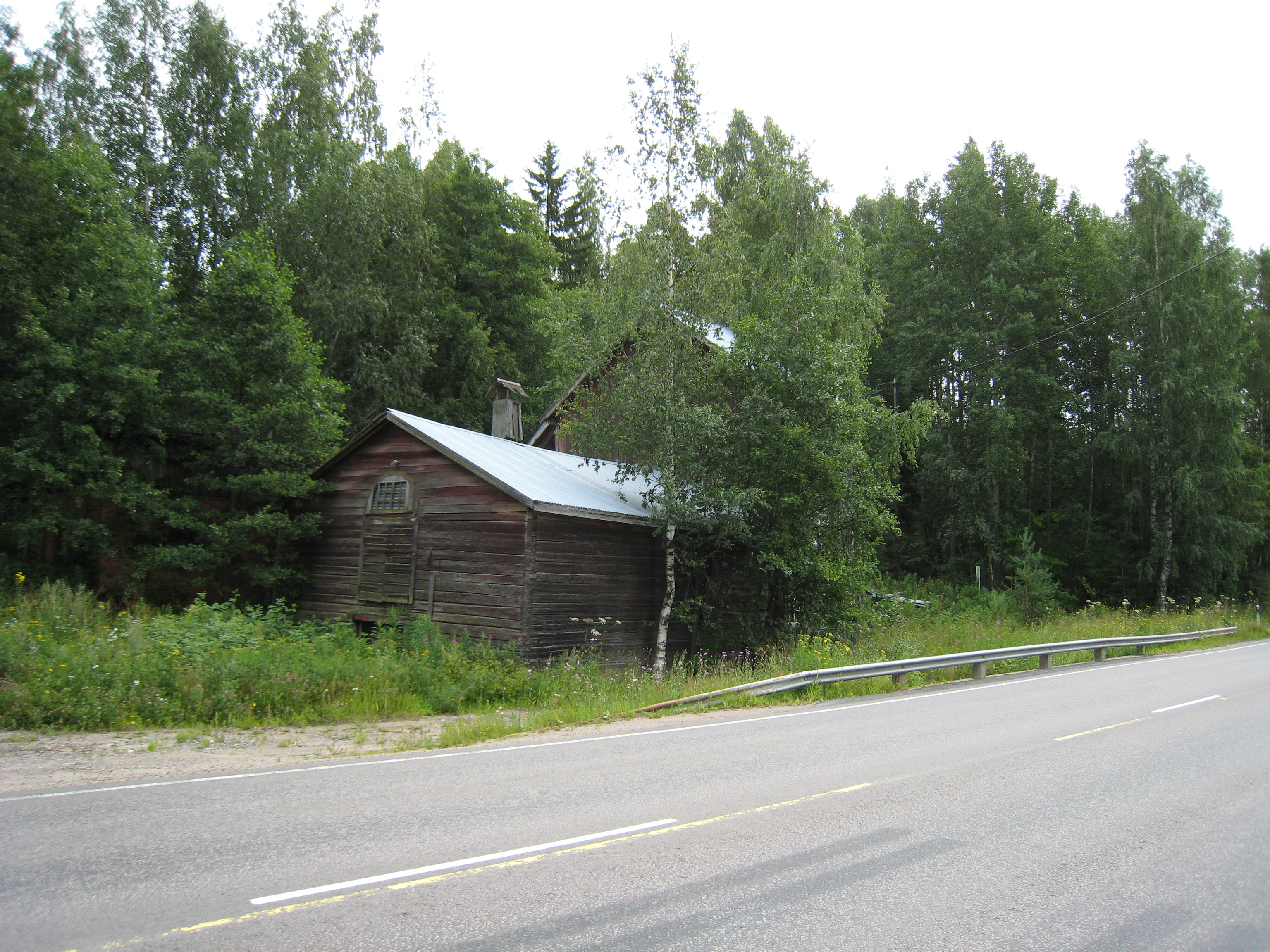
Related Photos:

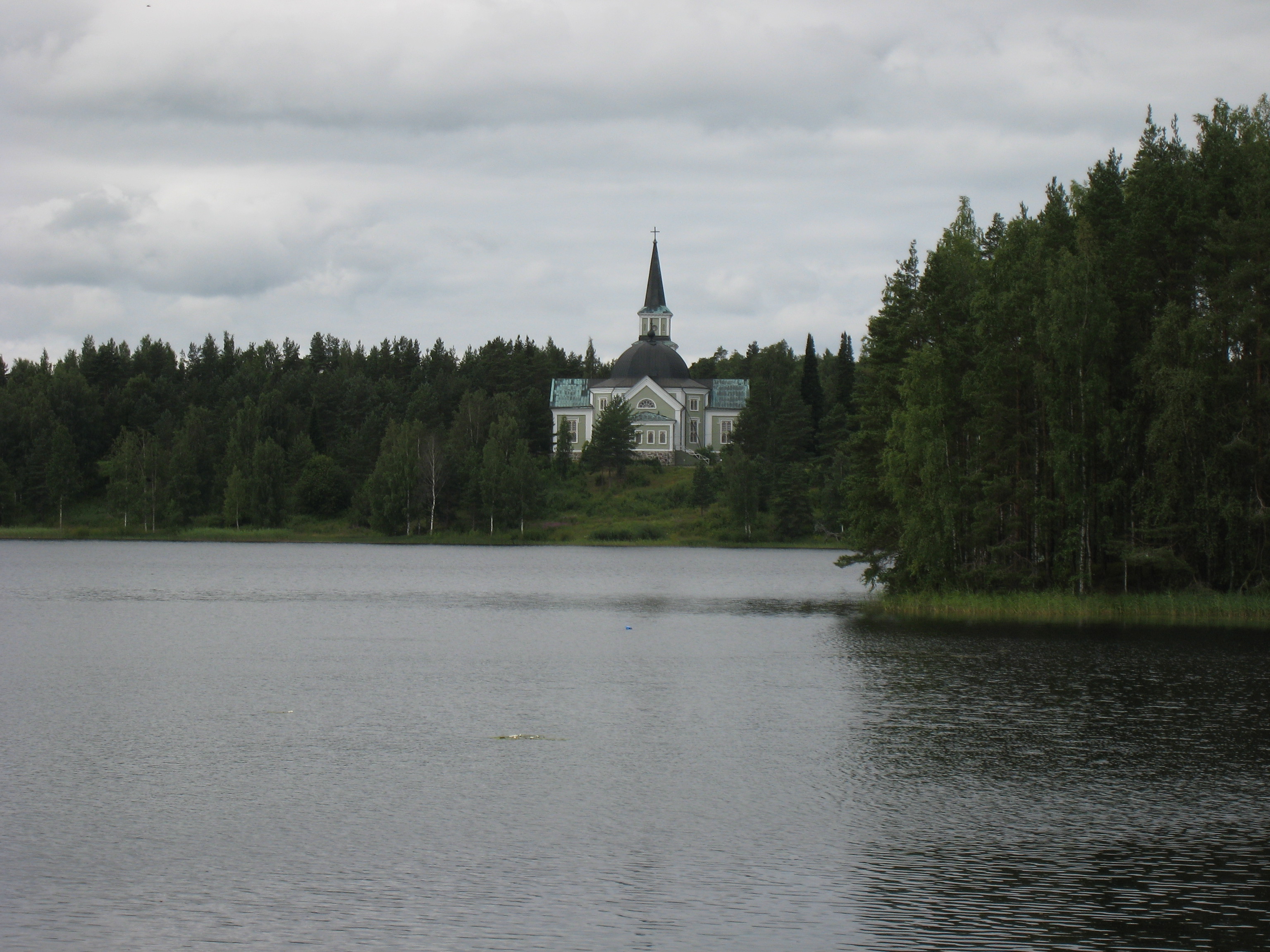
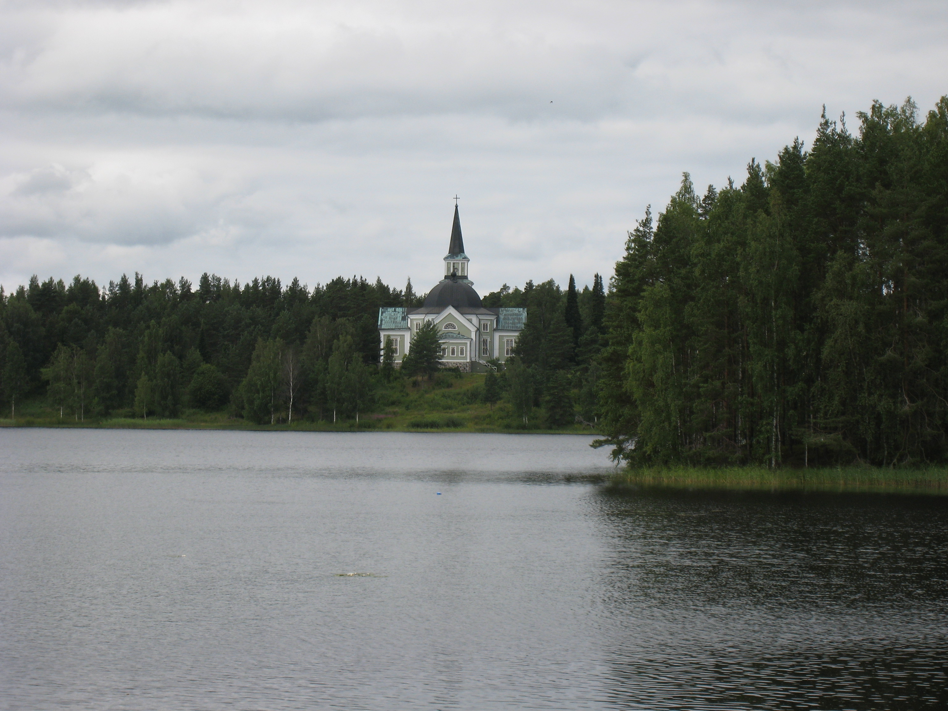
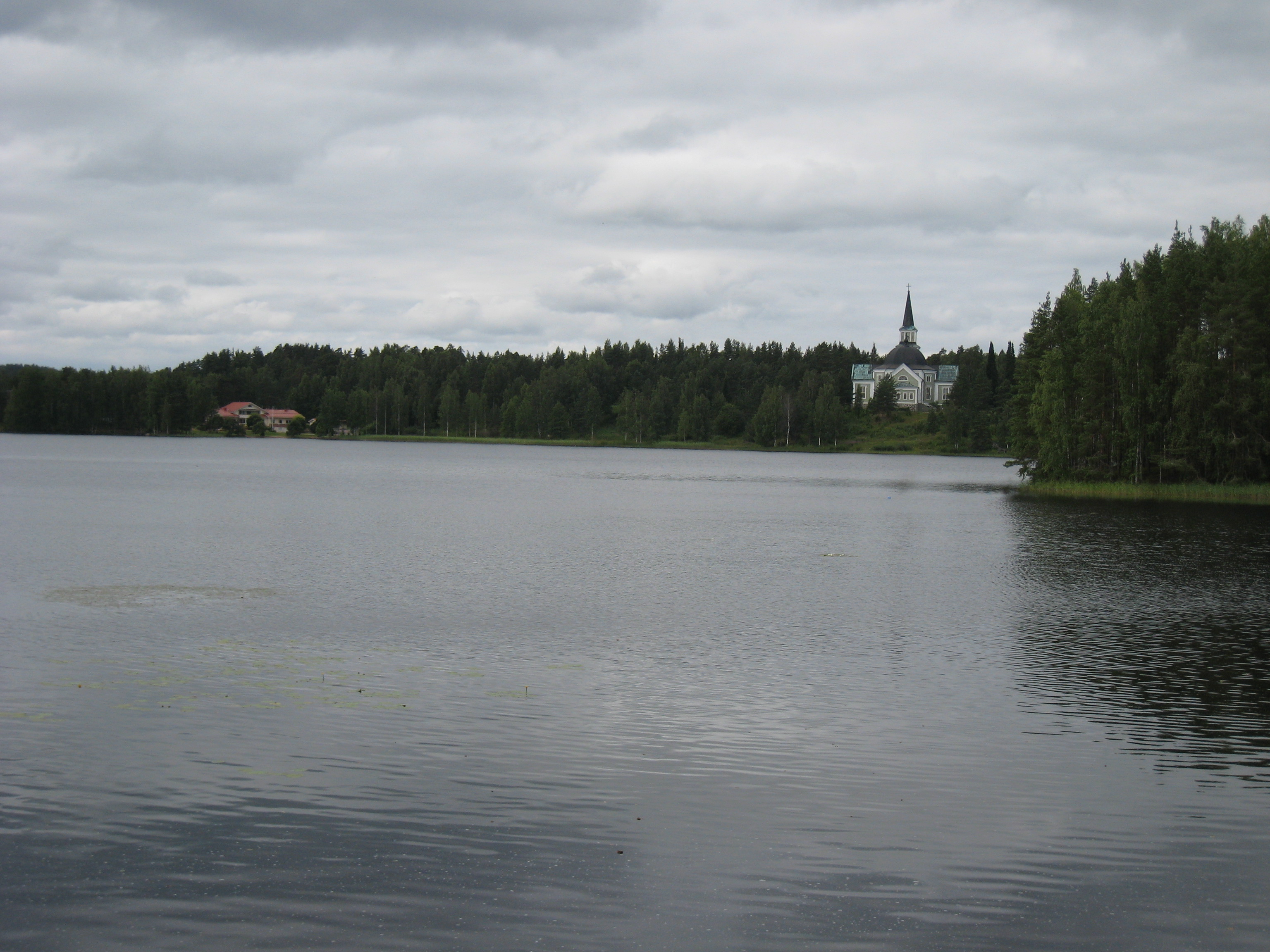
The Church Hill

20080729-090010.JPG

20080729-090255.JPG

20080729-090249.JPG
20080729-090024.JPG
20080729-090018.JPG

20080729-090305.JPG
20080729-090031.JPG
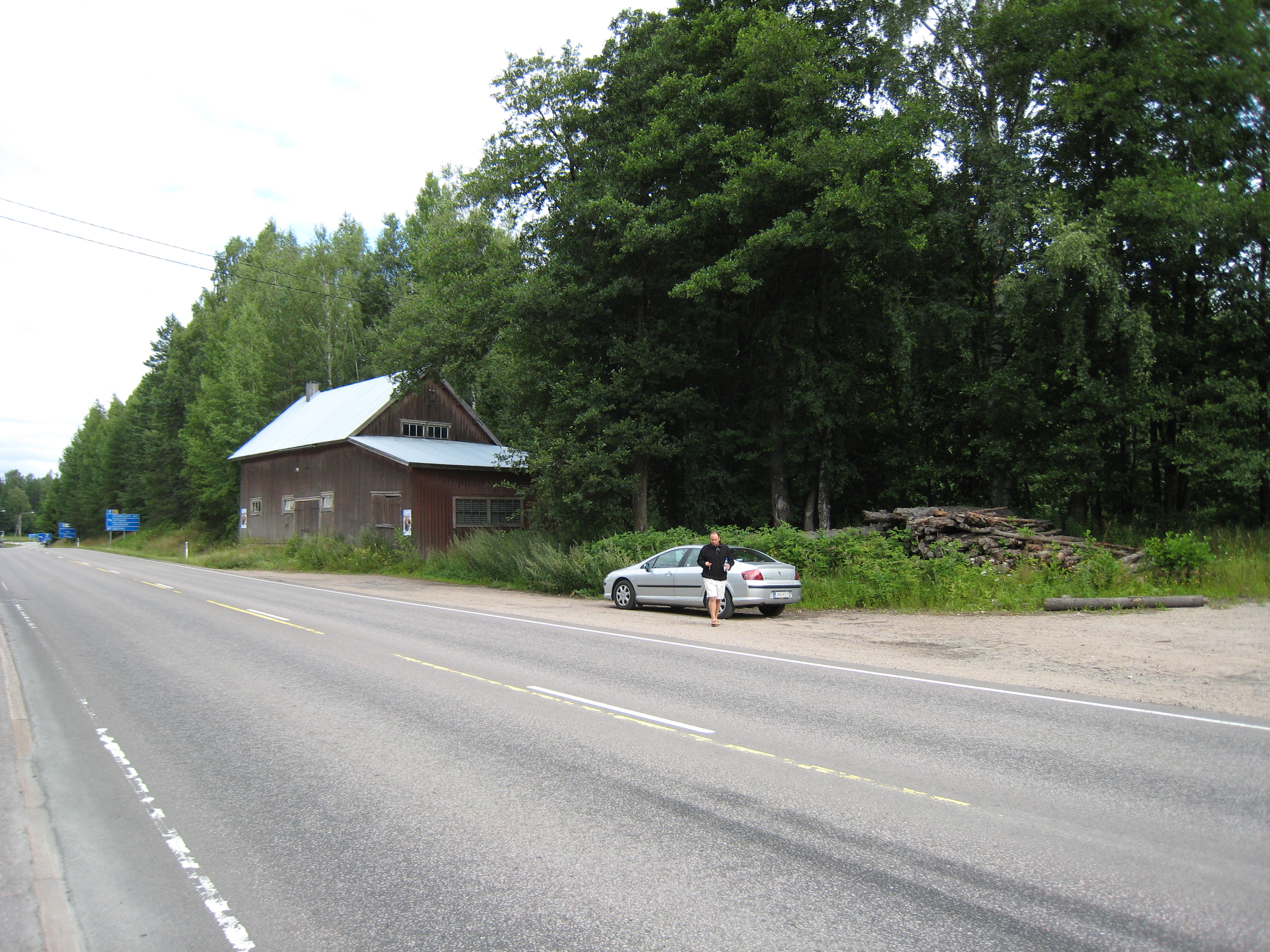
20080729-085931.JPG
20080729-085933.JPG

Lake Saimaa
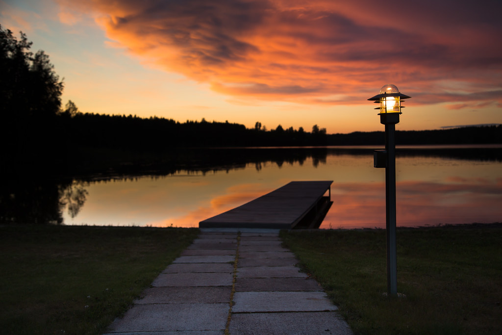
night light
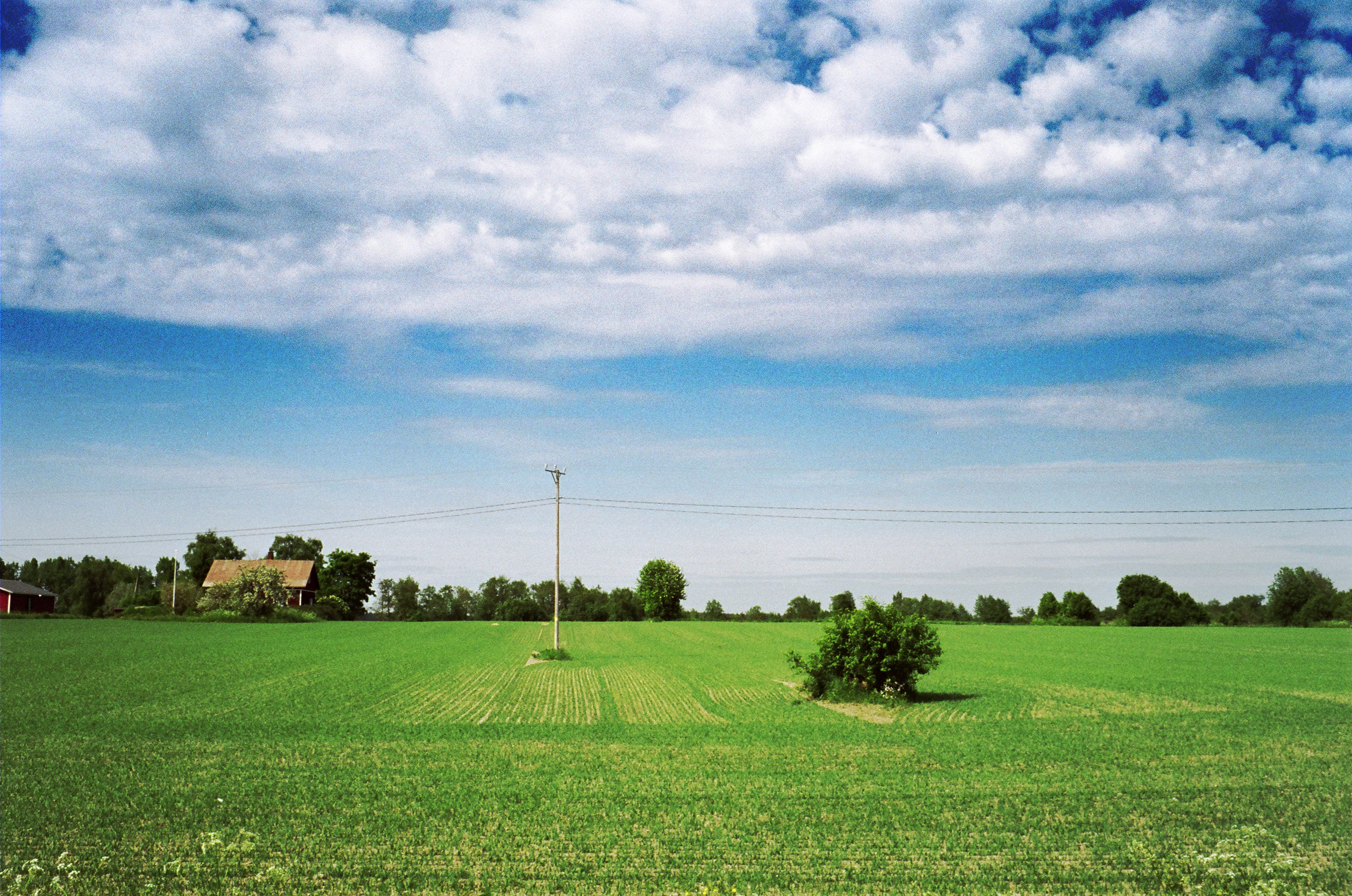
Crop landscape

shroom 2

Laikko Asta-myrskyn jäljiltä

Laikko Asta-myrskyn jäljiltä
Topographic Map of Viimolantie, Rautjärvi, Finland
Find elevation by address:

Places near Viimolantie, Rautjärvi, Finland:
Niska-Pietiläntie, Rautjärvi, Finland
Torsansalontie, Rautjärvi, Finland
Rypäleenkuja 5, Imatra, Finland
Nuotiolammentie 15, Parikkala, Finland
Rautjärvi
Ruokolahti
Jokelantie 35, Rautjärvi, Finland
Saniaiskuja 16, Imatra, Finland
Imatra
Vallinkoskentie, Imatra, Finland
Imatra
Kärpänkatu 4
Parikkala
Rauha
Myllytie, Sulkava, Finland
Soinkalliontie 59, Punkaharju, Finland
Tehtaankatu 14, Savonlinna, Finland
Vanamonkatu 20, Savonlinna, Finland
Varissaari 1, Savonlinna, Finland
Punkaharju
Recent Searches:
- Elevation of Corso Fratelli Cairoli, 35, Macerata MC, Italy
- Elevation of Tallevast Rd, Sarasota, FL, USA
- Elevation of 4th St E, Sonoma, CA, USA
- Elevation of Black Hollow Rd, Pennsdale, PA, USA
- Elevation of Oakland Ave, Williamsport, PA, USA
- Elevation of Pedrógão Grande, Portugal
- Elevation of Klee Dr, Martinsburg, WV, USA
- Elevation of Via Roma, Pieranica CR, Italy
- Elevation of Tavkvetili Mountain, Georgia
- Elevation of Hartfords Bluff Cir, Mt Pleasant, SC, USA