Elevation of Vigil Canyon, Colorado, USA
Location: United States > Colorado >
Longitude: -104.58386
Latitude: 37.780289
Elevation: 1700m / 5577feet
Barometric Pressure: 82KPa
Elevation Map:
Satellite Map:
Related Photos:

A Contrail Framed by a Plane Window
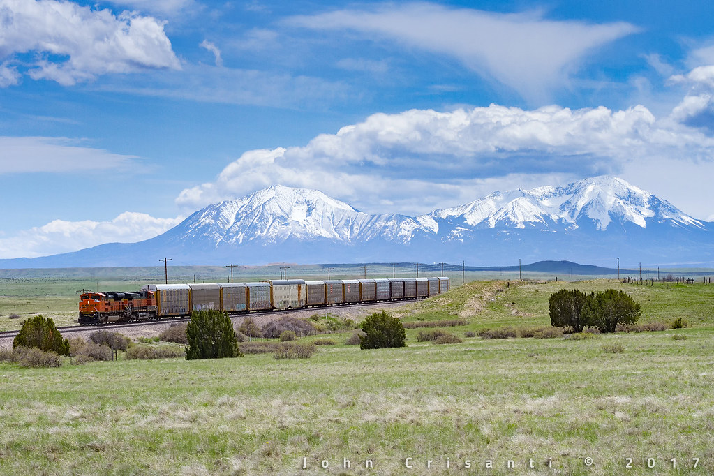
Spanish Peaks Country
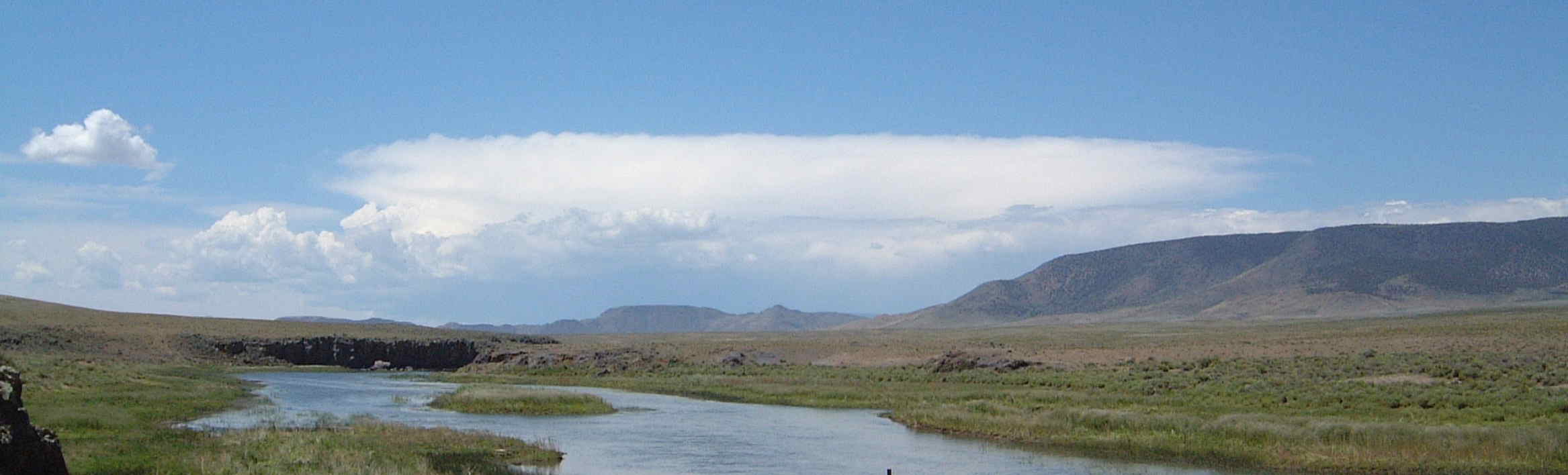
Cumulus Build Up over Southern Colorado
[earth-marathon-blog:00927] 過去
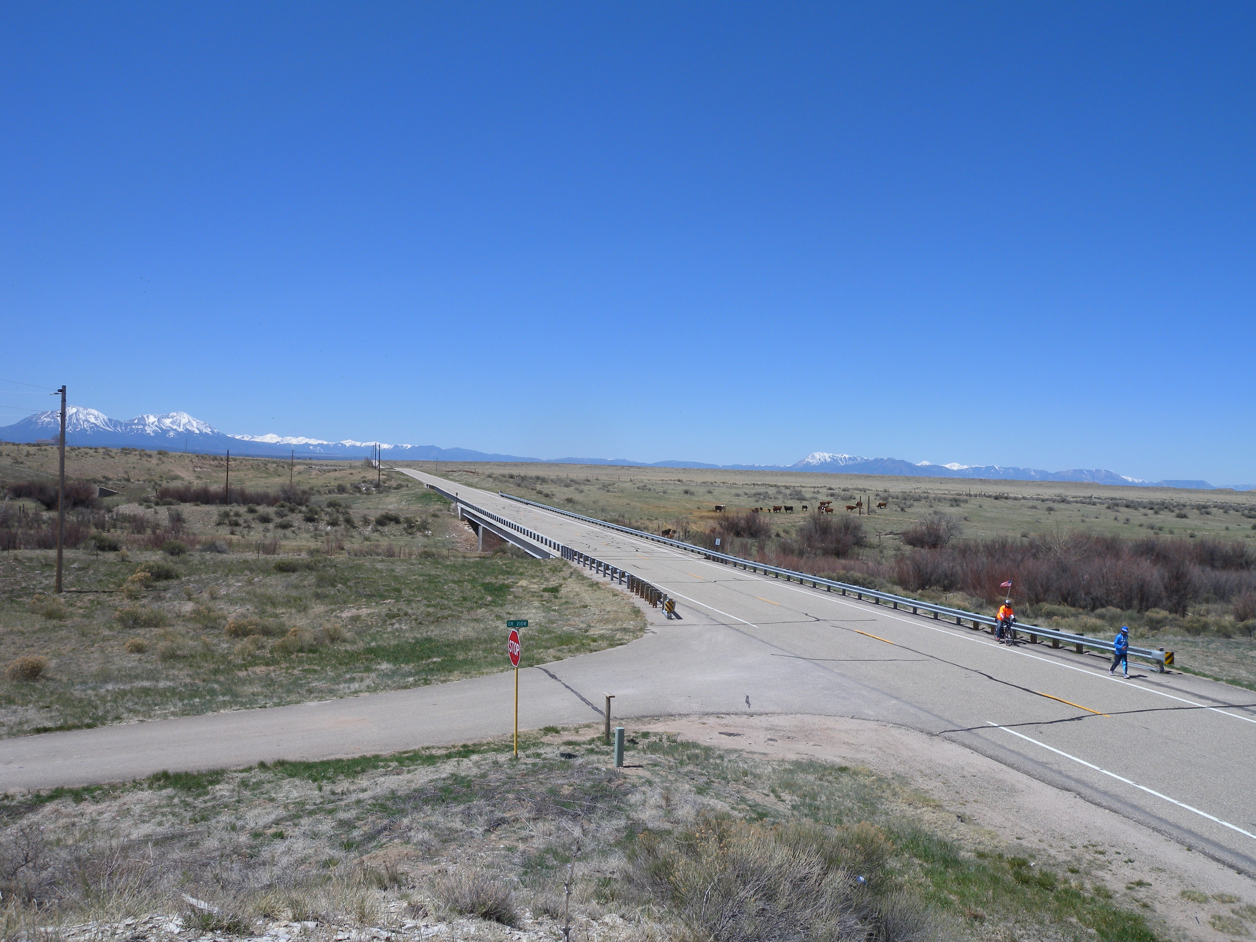
Along the Road

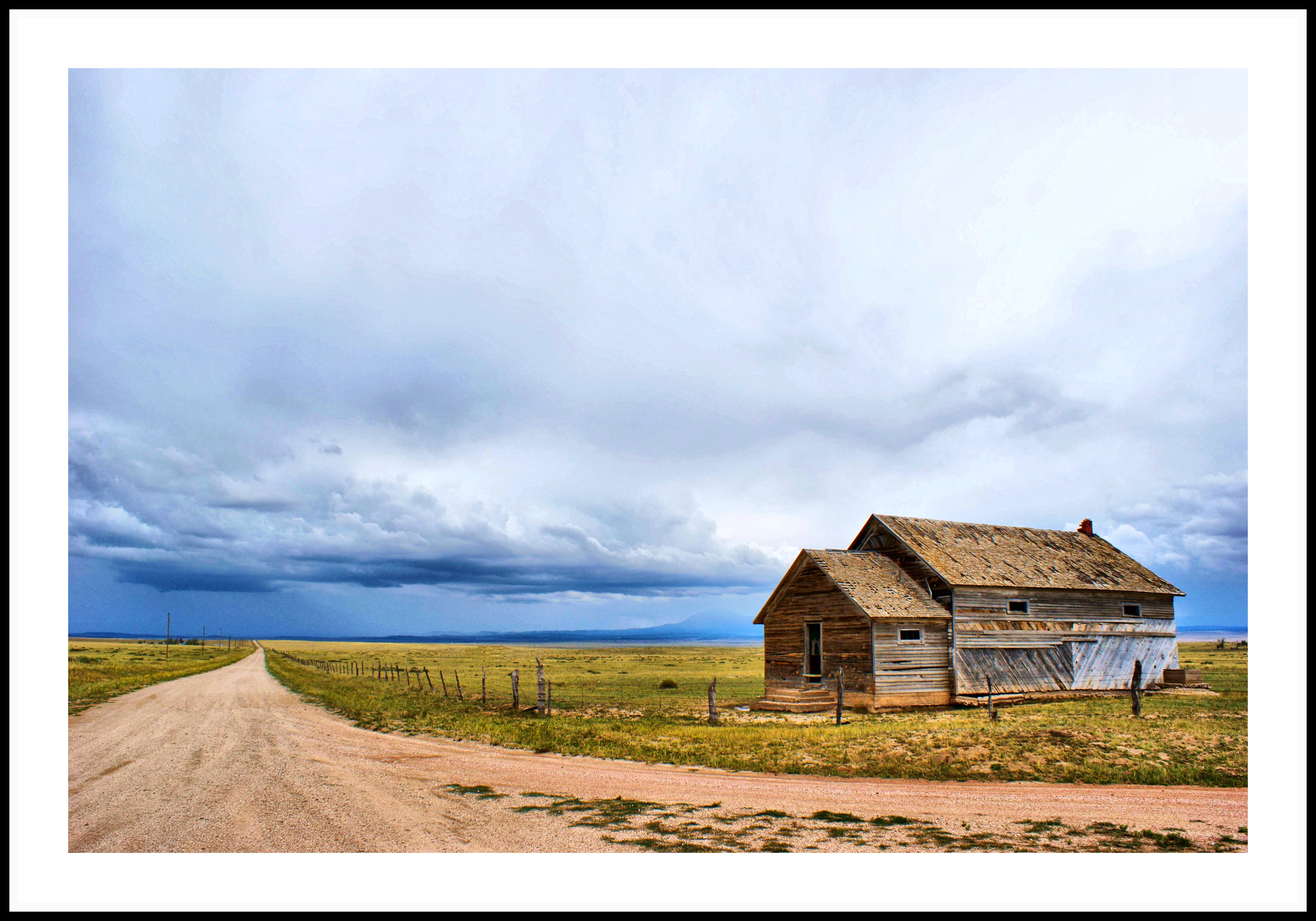
[earth-marathon-blog:00928] 132日目ゴール!!
Topographic Map of Vigil Canyon, Colorado, USA
Find elevation by address:

Places near Vigil Canyon, Colorado, USA:
Cedarwood Rd, Rye, CO, USA
504 Lonesome Whistle Rd
CO-10, Walsenburg, CO, USA
9776 Elk Ridge Ranch Rd
County Road 113
2405 Co Rd 110
1671 Co Rd 110
Walsenburg, CO, USA
Pickney Road
9640 Canyon Point Dr
Farista
107 N Harrison Ave
Walsenburg
330 W Cedar St
Co Rd, Walsenburg, CO, USA
Bear Ridge Ranch
Max's Place
1434 Rowell Rd
CO-10, Fowler, CO, USA
Black Diamond Park
Recent Searches:
- Elevation of Corso Fratelli Cairoli, 35, Macerata MC, Italy
- Elevation of Tallevast Rd, Sarasota, FL, USA
- Elevation of 4th St E, Sonoma, CA, USA
- Elevation of Black Hollow Rd, Pennsdale, PA, USA
- Elevation of Oakland Ave, Williamsport, PA, USA
- Elevation of Pedrógão Grande, Portugal
- Elevation of Klee Dr, Martinsburg, WV, USA
- Elevation of Via Roma, Pieranica CR, Italy
- Elevation of Tavkvetili Mountain, Georgia
- Elevation of Hartfords Bluff Cir, Mt Pleasant, SC, USA