Elevation of CO-10, Fowler, CO, USA
Location: United States > Colorado > Pueblo County > Fowler >
Longitude: -104.29944
Latitude: 37.806879
Elevation: 1673m / 5489feet
Barometric Pressure: 83KPa
Elevation Map:
Satellite Map:
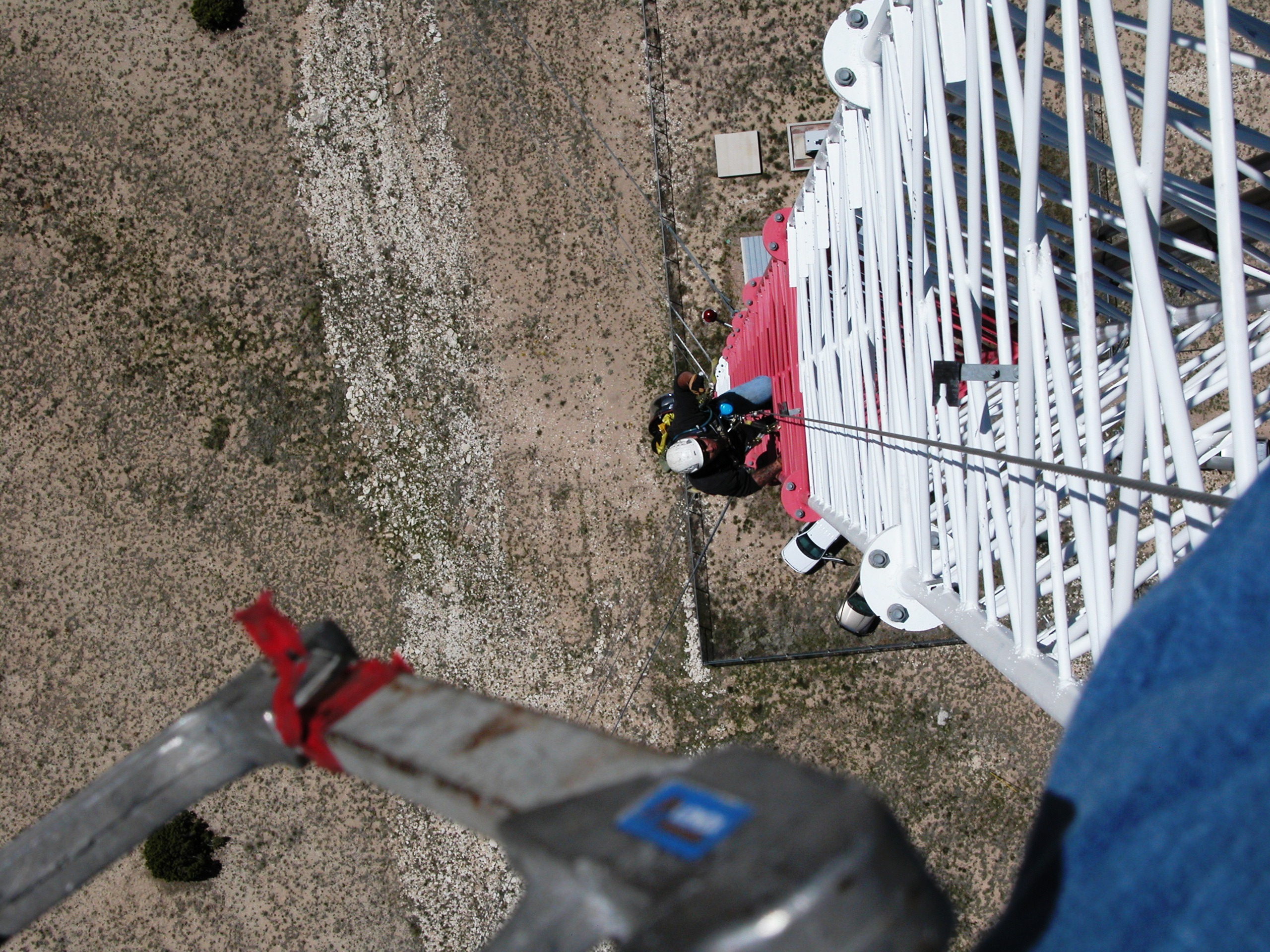
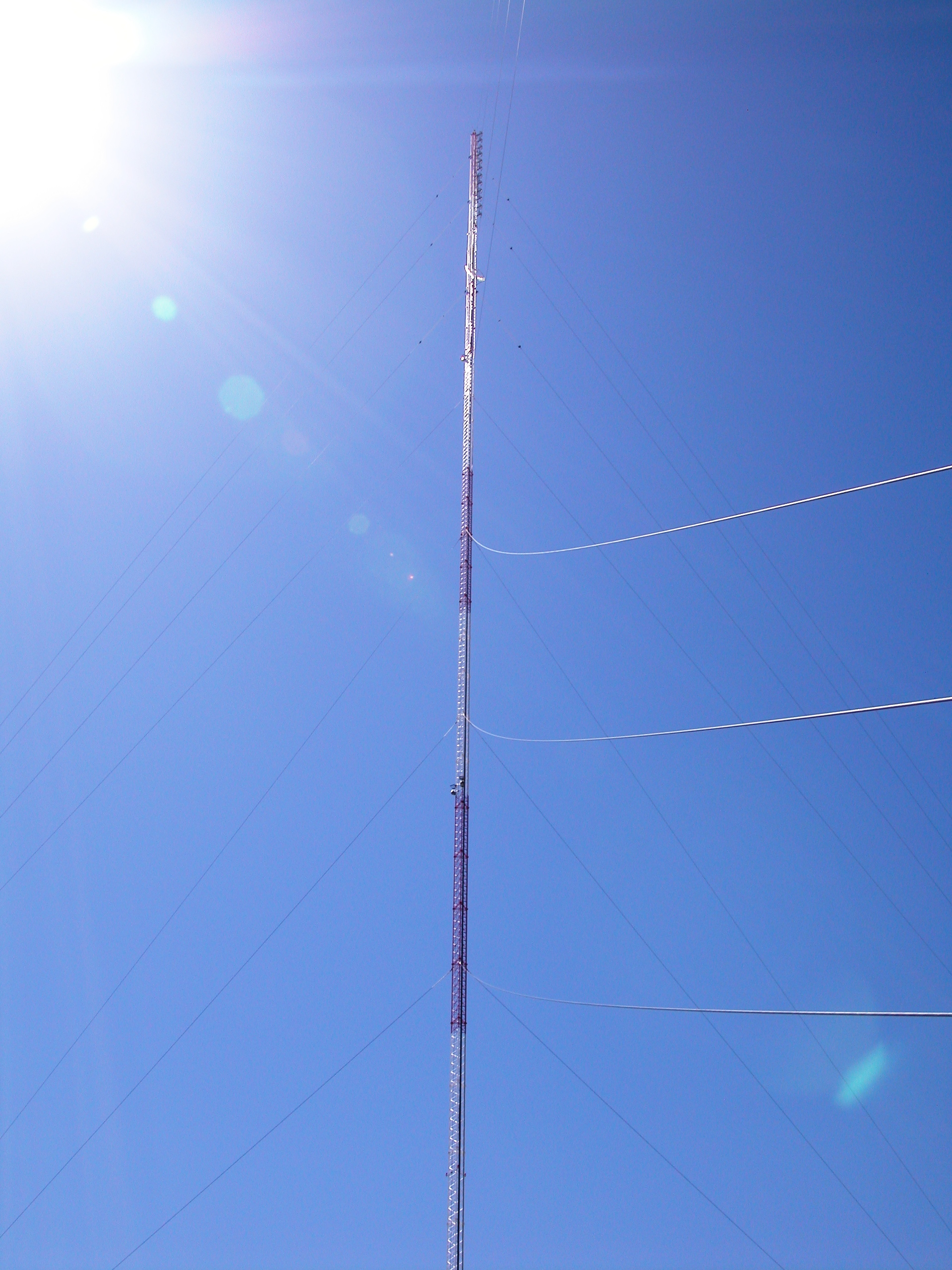
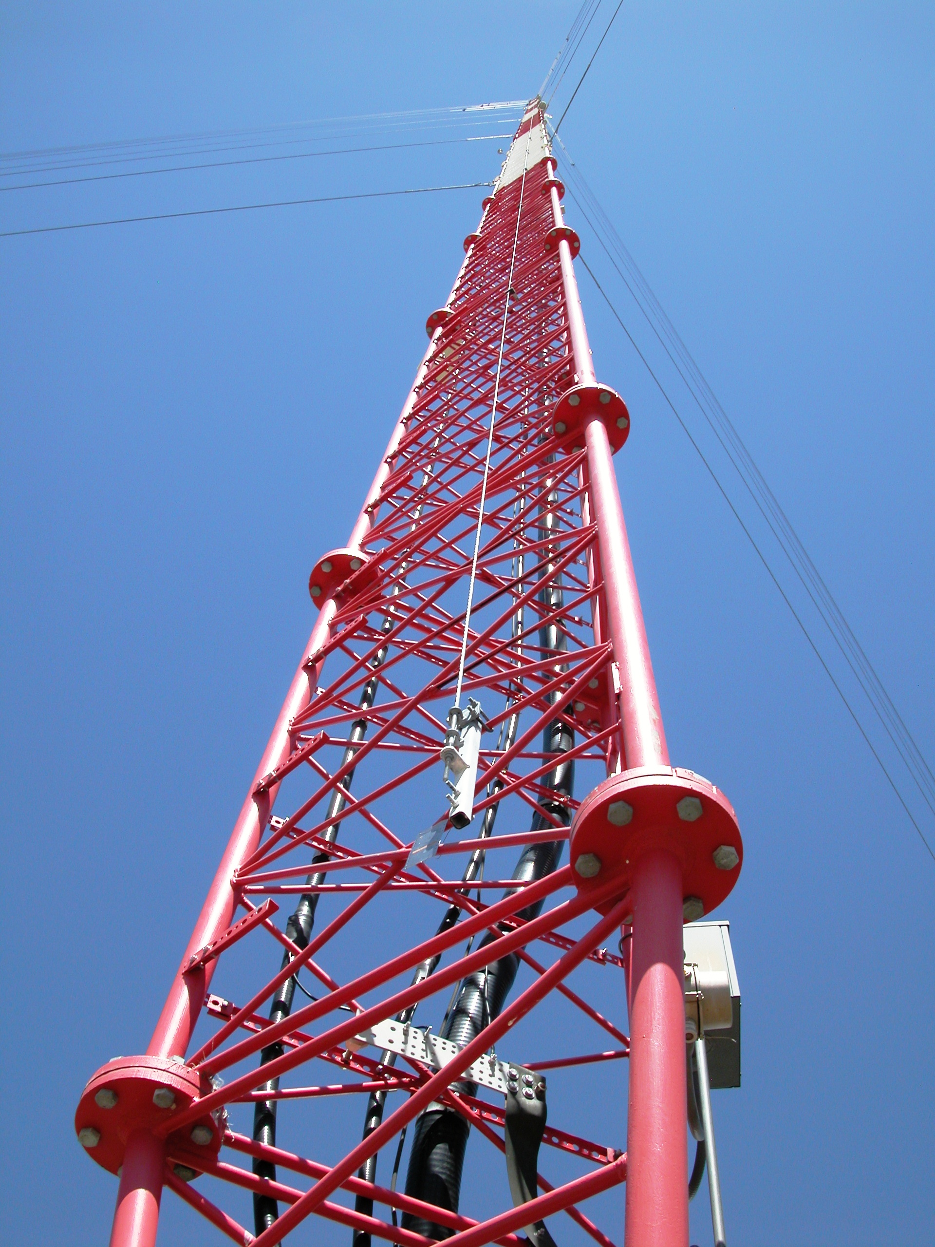
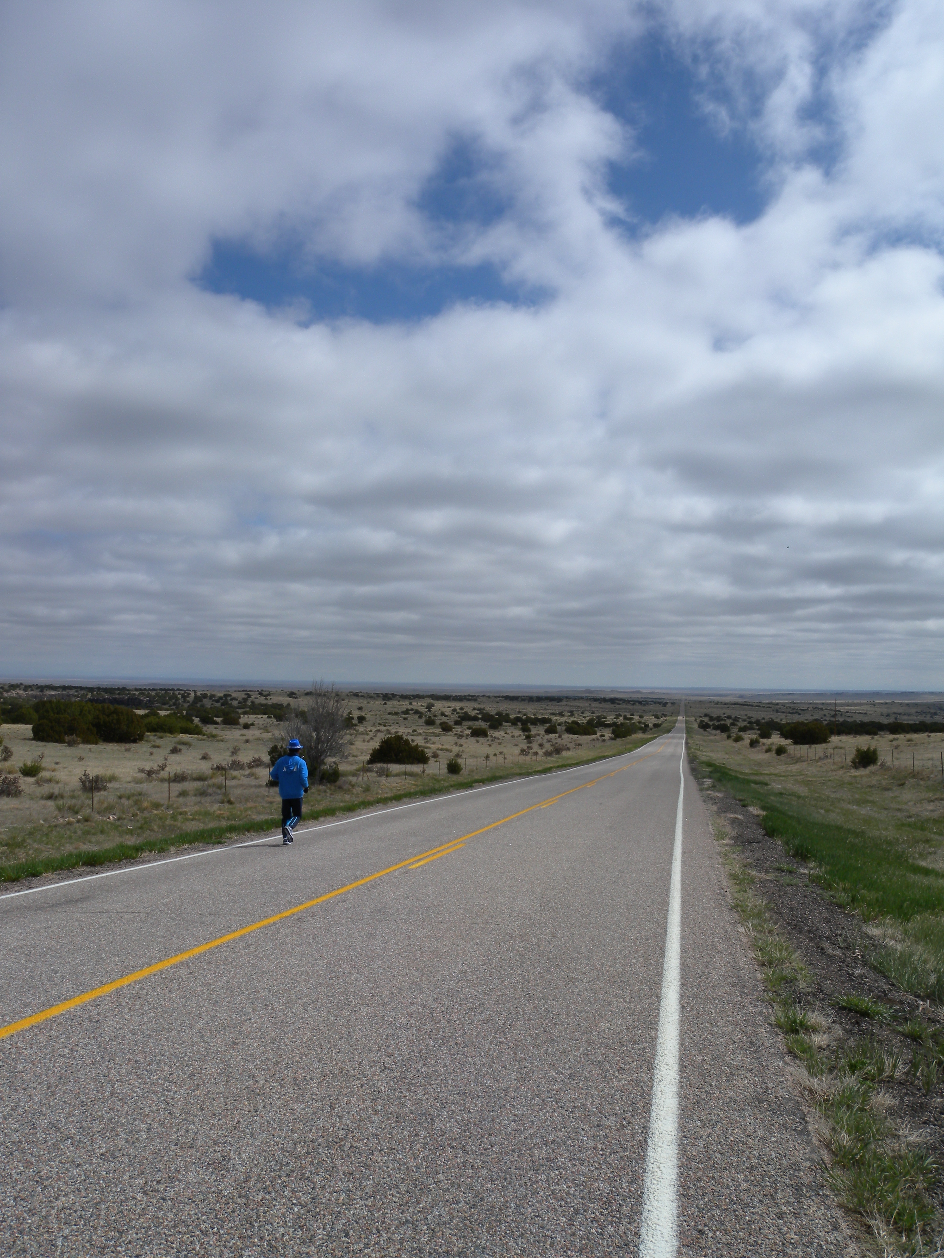
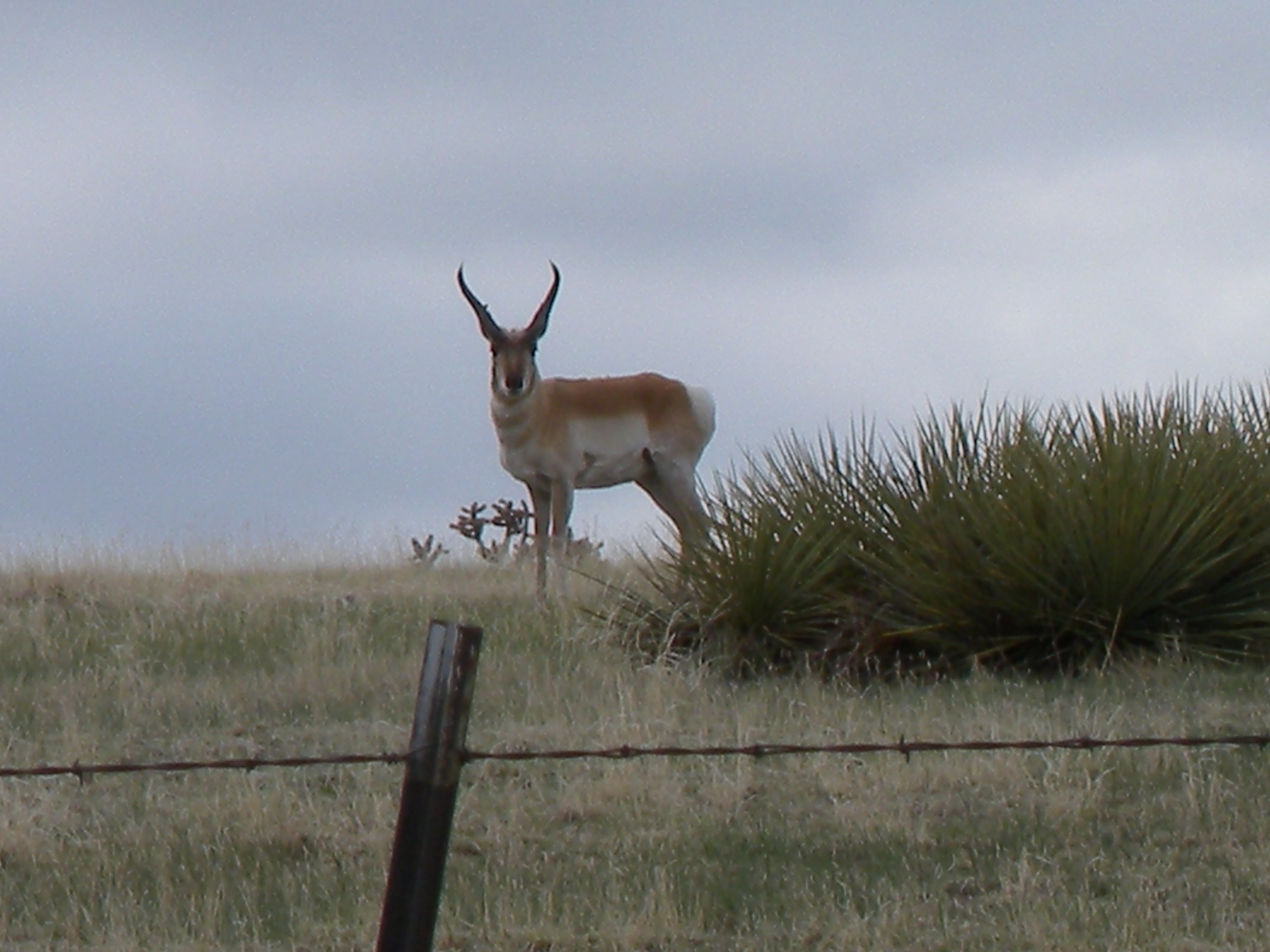
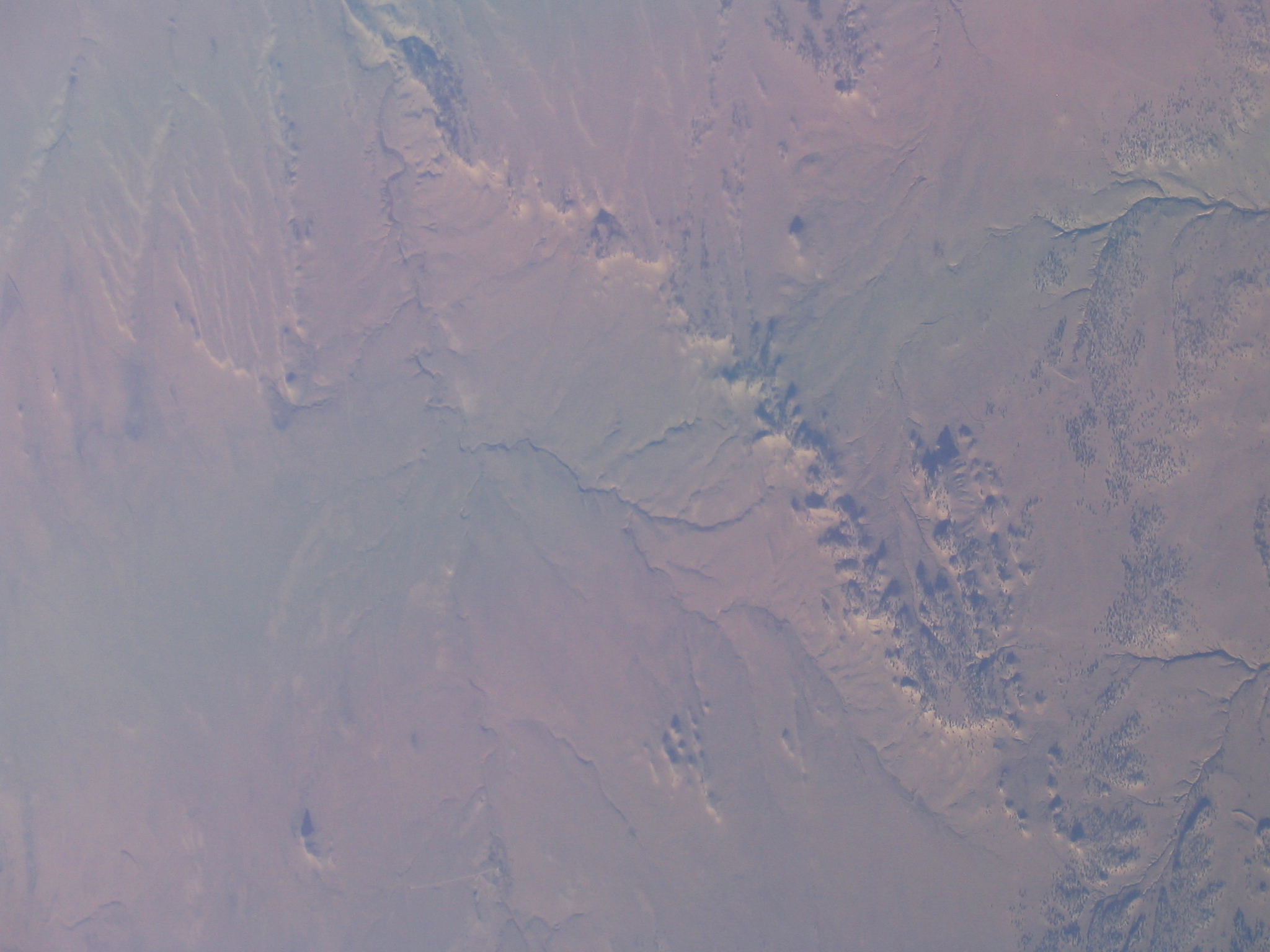
Related Photos:
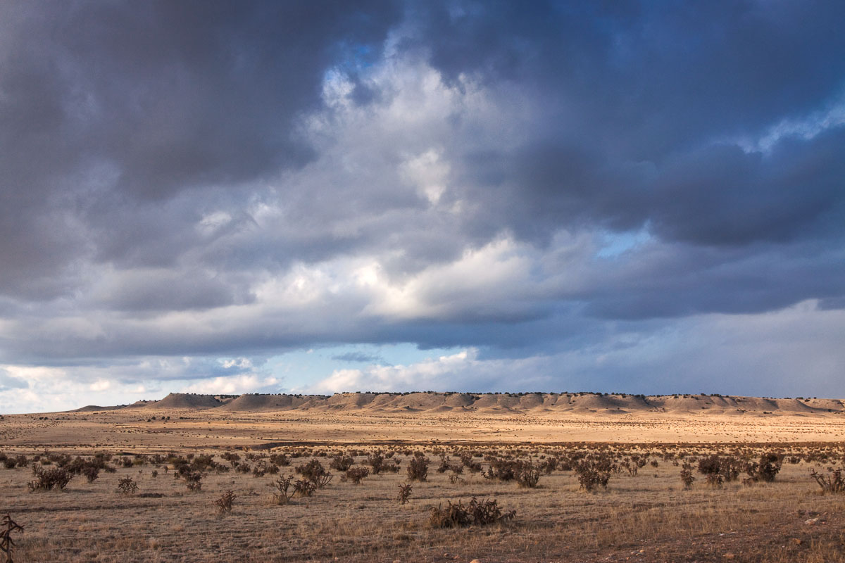
Pueblo County Life
.
.
.
.

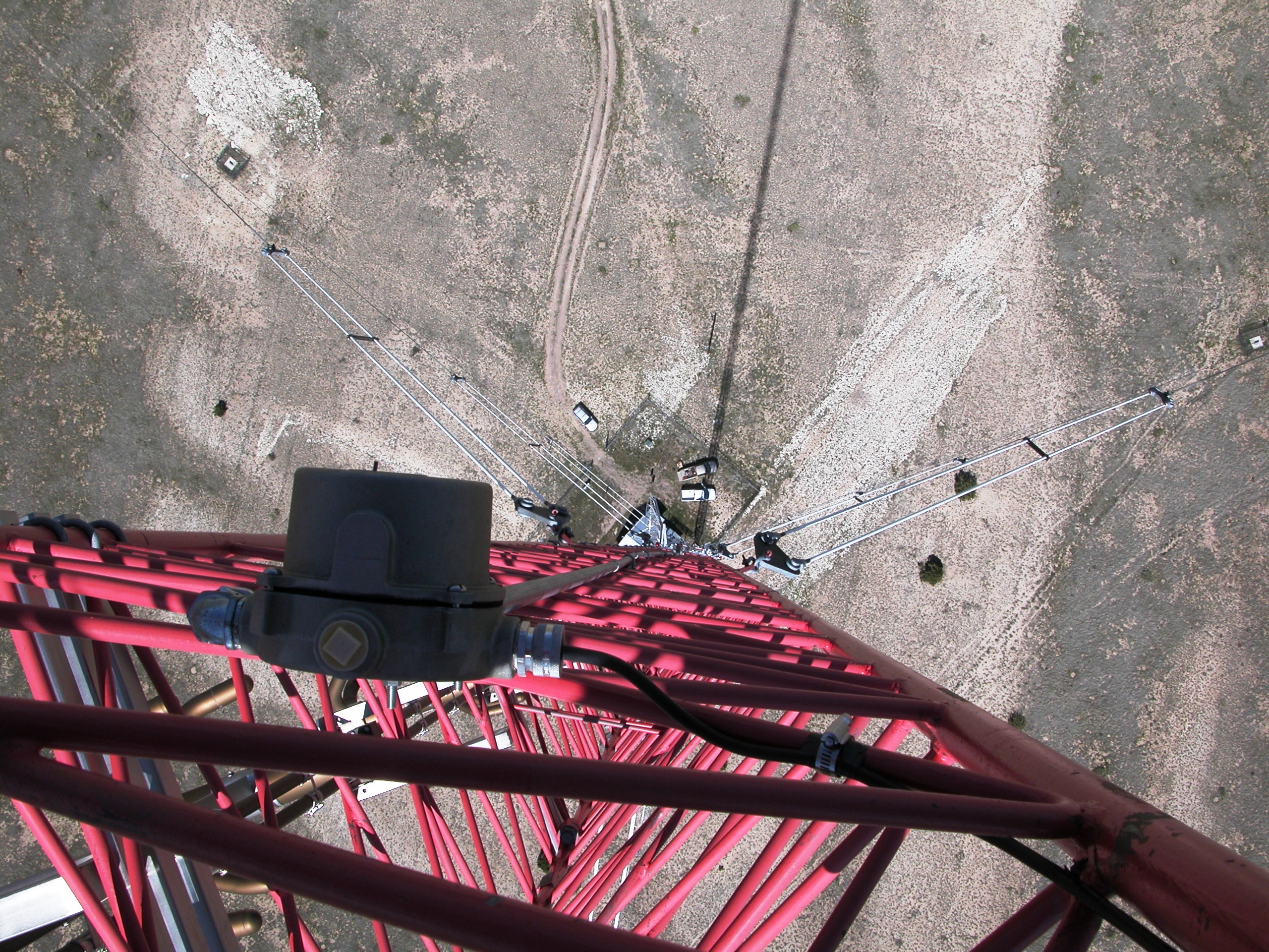
Long way down
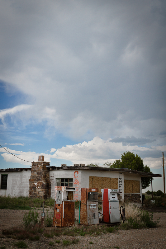
Cafe with Gas
[earth-marathon-blog:00936] ブーム?
[earth-marathon-blog:00935] 続いては…。

[earth-marathon-blog:00934] 何もないのに…。
[earth-marathon-blog:00933] こんな道。
[earth-marathon-blog:00932] 完璧!
IMG_4776.JPG
Topographic Map of CO-10, Fowler, CO, USA
Find elevation by address:

Places near CO-10, Fowler, CO, USA:
Unnamed Road
Vigil Canyon
Cedarwood Rd, Rye, CO, USA
Co Rd 64, Model, CO, USA
9776 Elk Ridge Ranch Rd
33120 Mountain View
CO-10, Walsenburg, CO, USA
County Road 113
Model
US-, Model, CO, USA
504 Lonesome Whistle Rd
2405 Co Rd 110
1671 Co Rd 110
Walsenburg, CO, USA
Pickney Road
9640 Canyon Point Dr
1016 Rolling Hills Ln
Lynn
Co Rd, Walsenburg, CO, USA
107 N Harrison Ave
Recent Searches:
- Elevation of Corso Fratelli Cairoli, 35, Macerata MC, Italy
- Elevation of Tallevast Rd, Sarasota, FL, USA
- Elevation of 4th St E, Sonoma, CA, USA
- Elevation of Black Hollow Rd, Pennsdale, PA, USA
- Elevation of Oakland Ave, Williamsport, PA, USA
- Elevation of Pedrógão Grande, Portugal
- Elevation of Klee Dr, Martinsburg, WV, USA
- Elevation of Via Roma, Pieranica CR, Italy
- Elevation of Tavkvetili Mountain, Georgia
- Elevation of Hartfords Bluff Cir, Mt Pleasant, SC, USA