Elevation map of Verde River, Arizona, USA
Location: United States > Arizona > Yavapai County >
Longitude: -111.72765
Latitude: 34.141714
Elevation: 664m / 2178feet
Barometric Pressure: 94KPa
Elevation Map:
Satellite Map:
Related Photos:

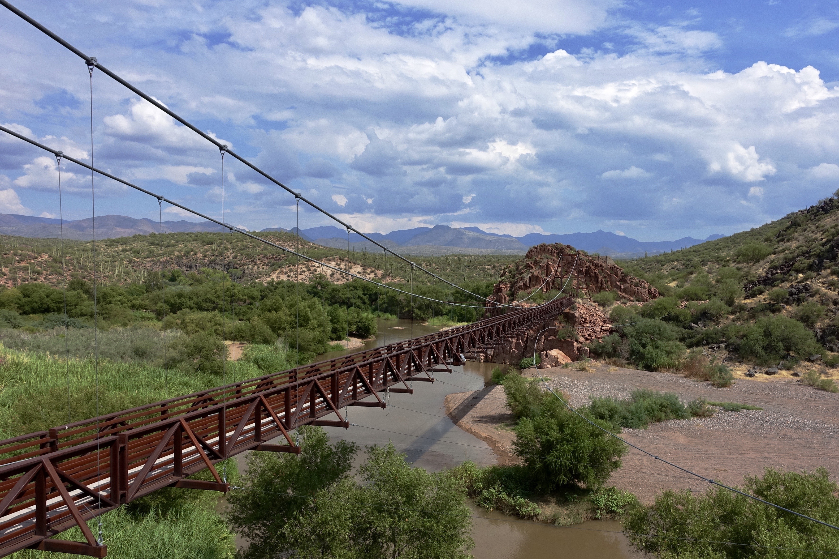
Sheep Bridge
AZXC at the Sheep Bridge

Sheep Bridge, First Glimpse

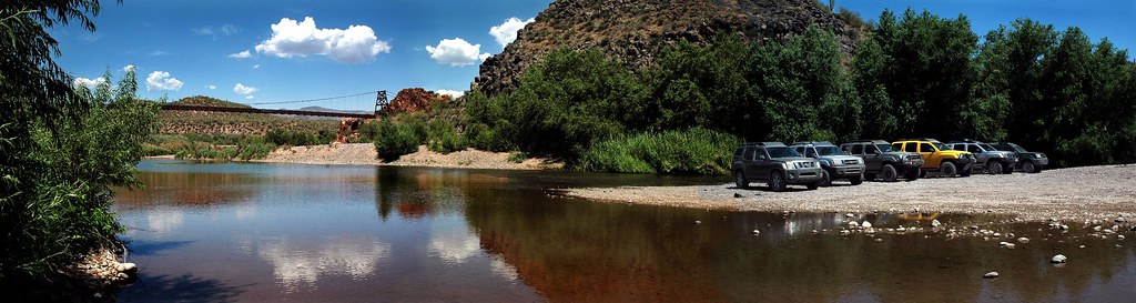
Sheep Bridge Pano
437. A view from the Old Verde River Sheep Bridge ruin
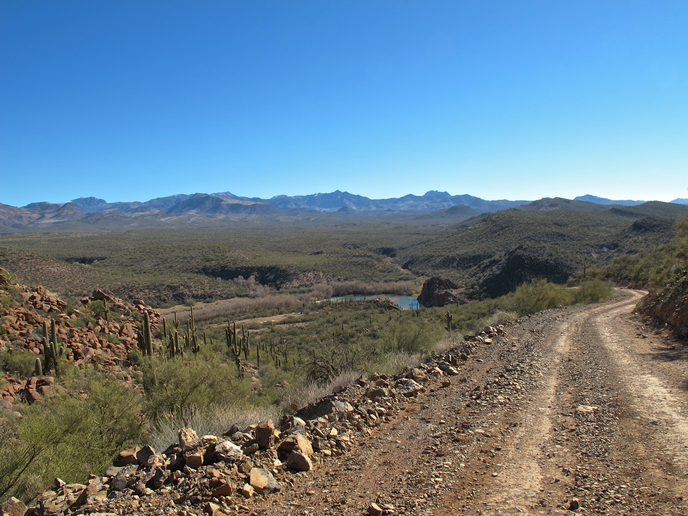
130. View toward Verde River and Sheep Bridge from FR 269
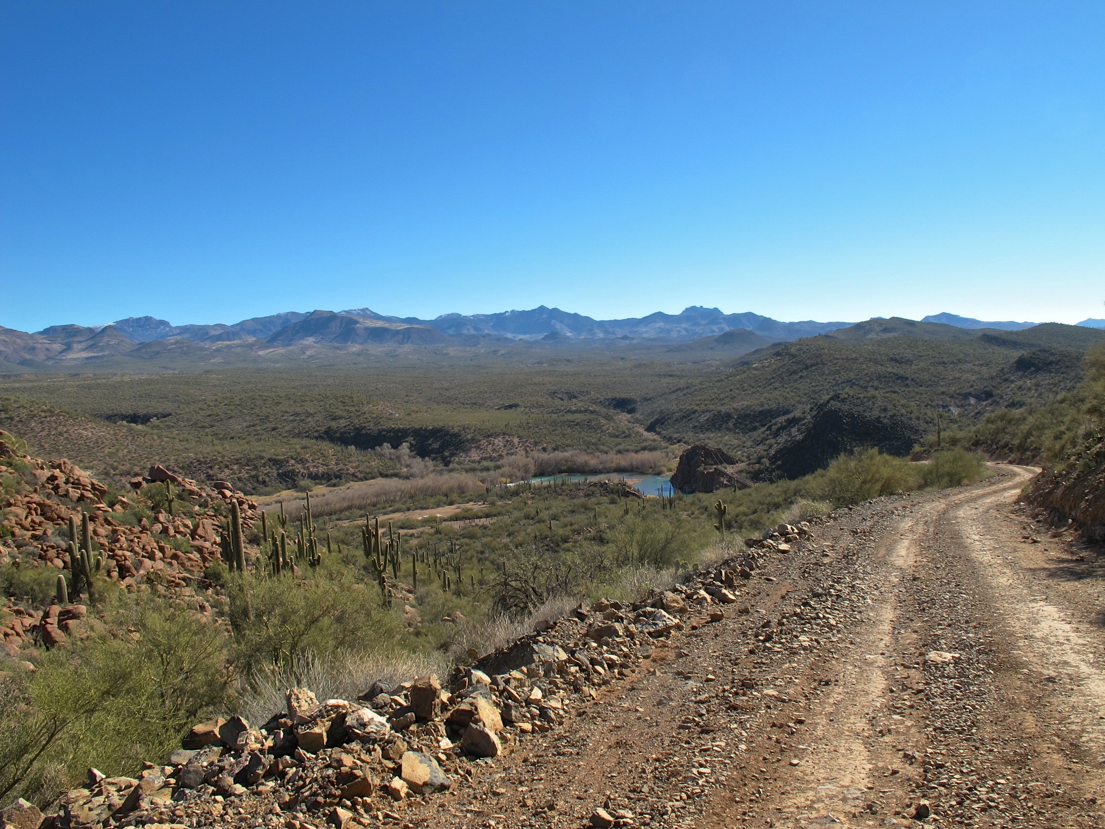
130. View toward Verde River and Sheep Bridge from FR 269

167. View along FR 269 near south fork of Mud Spring Creek
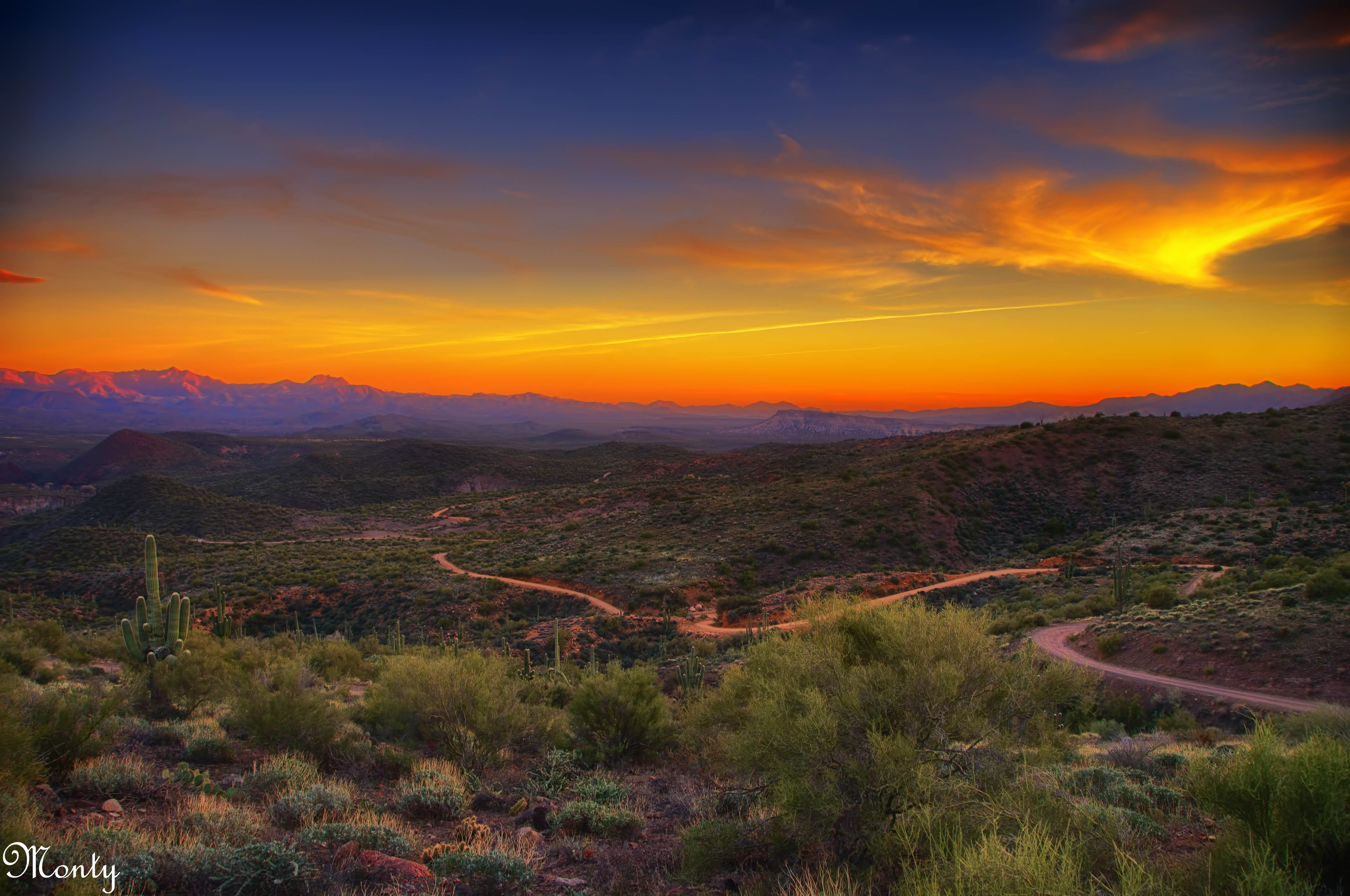
Bloody Basin, Verde River, Arizona
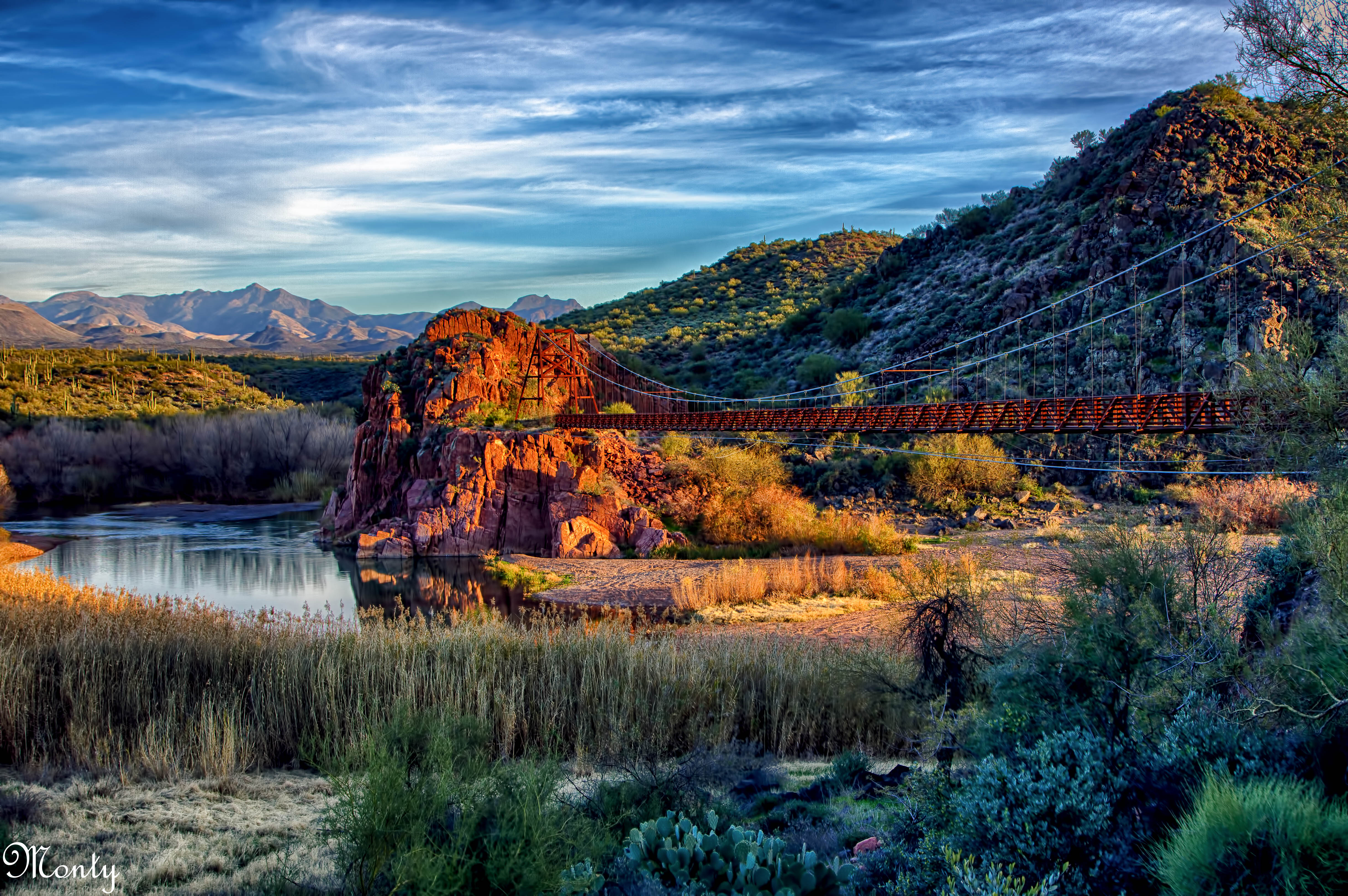
Replica of the Sheep Herders Bridge, Verde River, Arizona

Petrified Forest Desert (Explore 6/28/12)

Sheep Bridge, Verde River in AZ
Bloody Basin, AZ

Bloody Basin, AZ

Sheep Bridge, Verde River in AZ
Sheep Bridge, Verde River in AZ

Bloody Basin, AZ

Sheep Bridge, Verde River in AZ

Sheep Bridge, Verde River in AZ

Bloody Basin, AZ

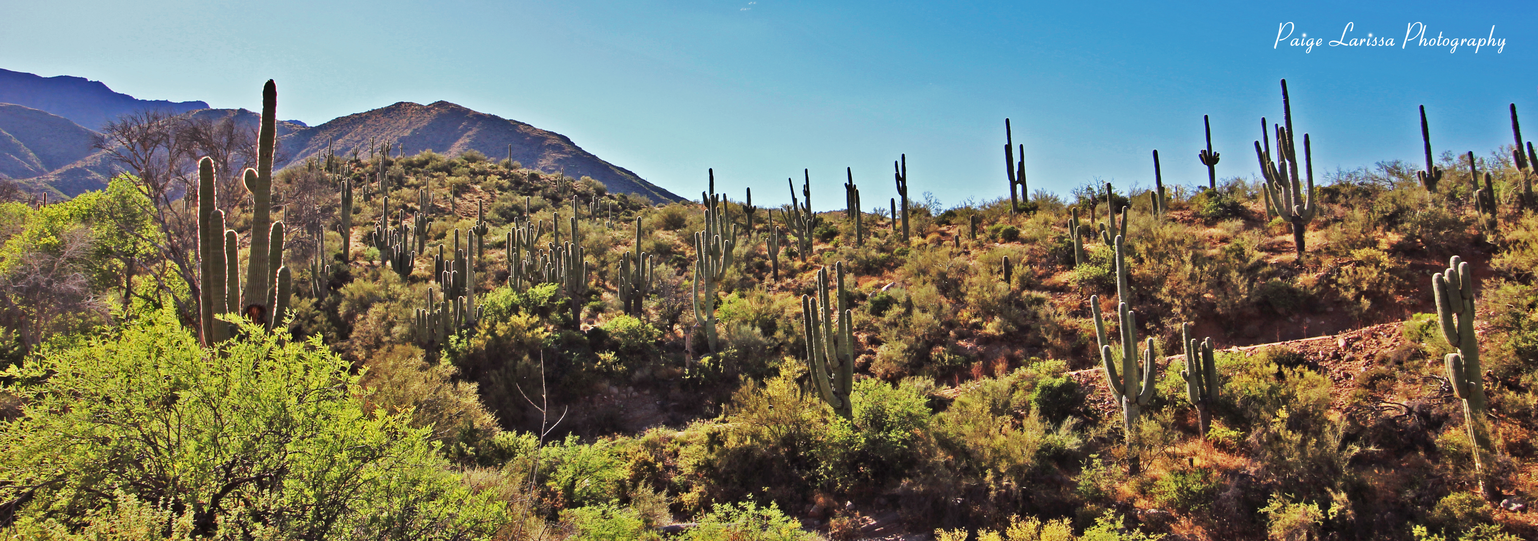
Desert Forest

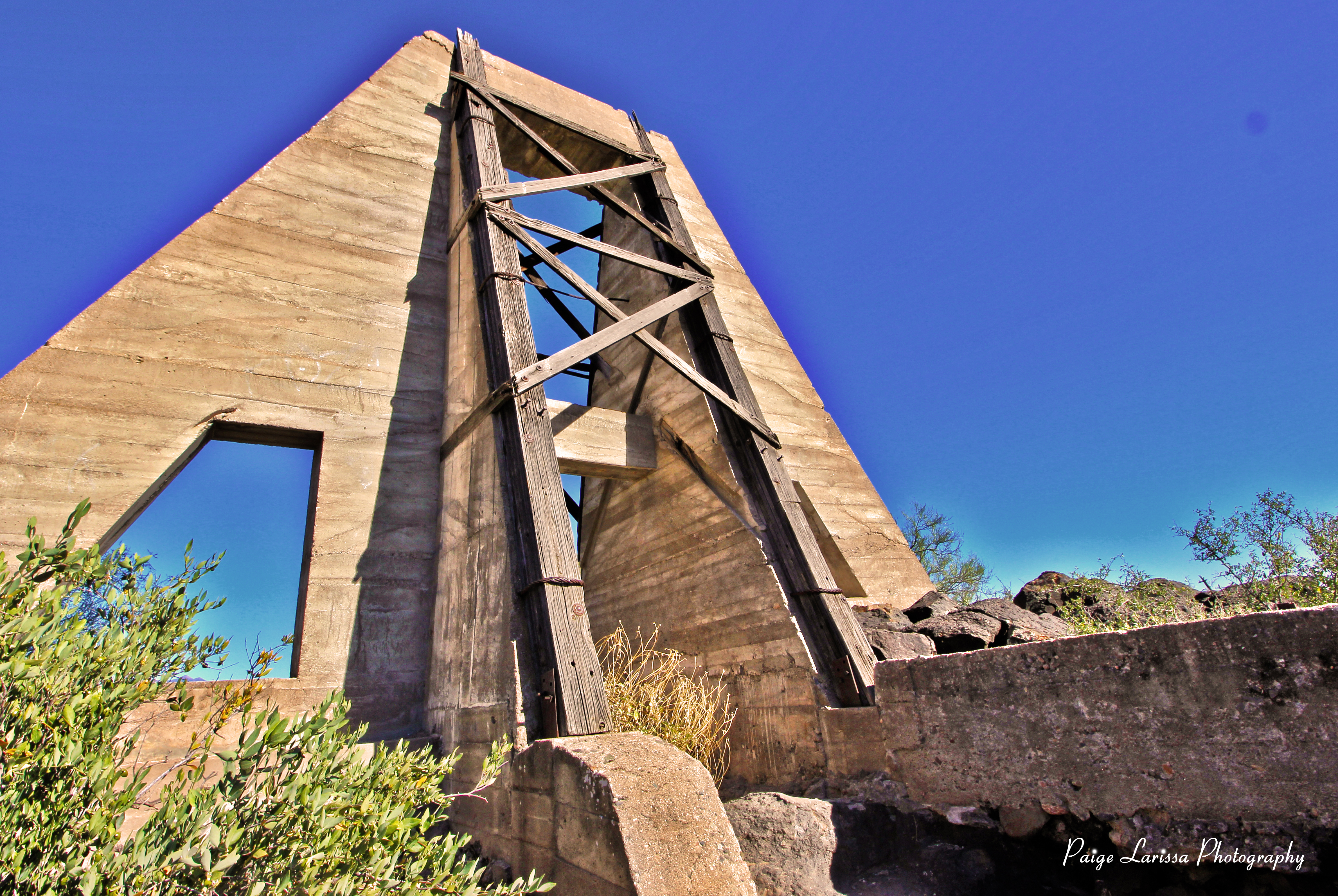
22. Atlantis West ruin site with potsherds in foreground and Sunset Mountain as backdrop

Bloody Basin, AZ

Bloody Basin, AZ

Bloody Basin, AZ

Sheep Bridge, Verde River in AZ

Bloody Basin, AZ

1. Rover Peak as seen southeasterly from FR 2019 off FR 1059

Bloody Basin, AZ
Topographic Map of Verde River, Arizona, USA
Find elevation by address:

Places near Verde River, Arizona, USA:
Camp Creek
North Peak
N Seven Springs Rd, Scottsdale, AZ, USA
46200 N Seven Springs Rd
46200 N Seven Springs Rd #19
46200 N Seven Springs Rd
46200 N Seven Springs Rd
Mazatzal Peak
11802 E Blue Wash Rd
Tonto Hills
43031 N 111th Pl
42220 N La Plata Rd
42208 N La Plata Rd
42401 N Old Mine Rd
42029 N La Plata Rd #47
North Deer Trail Road
Desert Mountain, Apache Peak
42725 North 102nd Street
41777 N 111th Pl
42088 N 108th Pl
Recent Searches:
- Elevation of Corso Fratelli Cairoli, 35, Macerata MC, Italy
- Elevation of Tallevast Rd, Sarasota, FL, USA
- Elevation of 4th St E, Sonoma, CA, USA
- Elevation of Black Hollow Rd, Pennsdale, PA, USA
- Elevation of Oakland Ave, Williamsport, PA, USA
- Elevation of Pedrógão Grande, Portugal
- Elevation of Klee Dr, Martinsburg, WV, USA
- Elevation of Via Roma, Pieranica CR, Italy
- Elevation of Tavkvetili Mountain, Georgia
- Elevation of Hartfords Bluff Cir, Mt Pleasant, SC, USA