Elevation of N Seven Springs Rd #19, Scottsdale, AZ, USA
Location: United States > Arizona > Maricopa County > Scottsdale >
Longitude: -111.8169759
Latitude: 33.9056367
Elevation: 1036m / 3399feet
Barometric Pressure: 0KPa
Related Photos:

Pink Snow Cactus

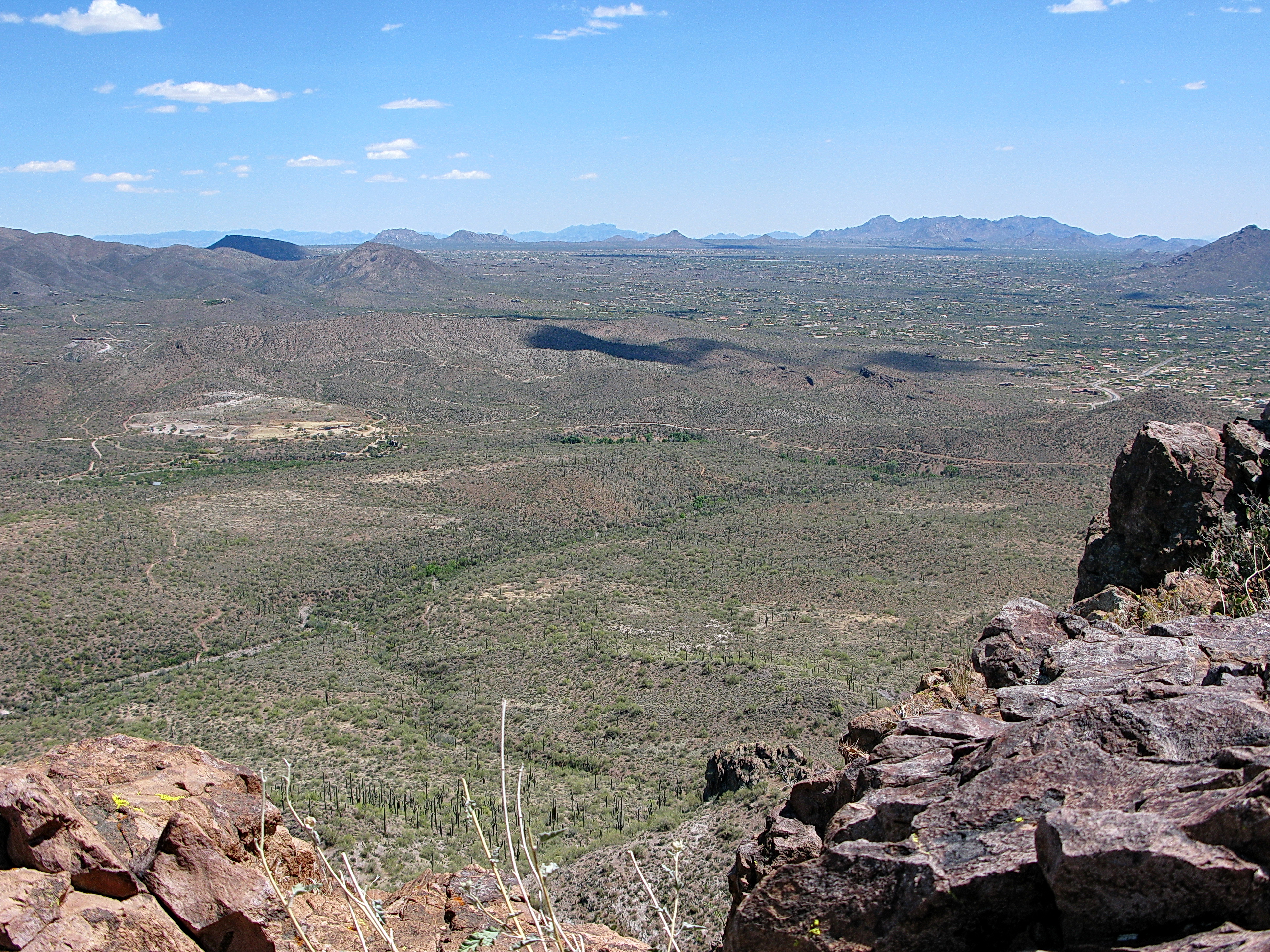
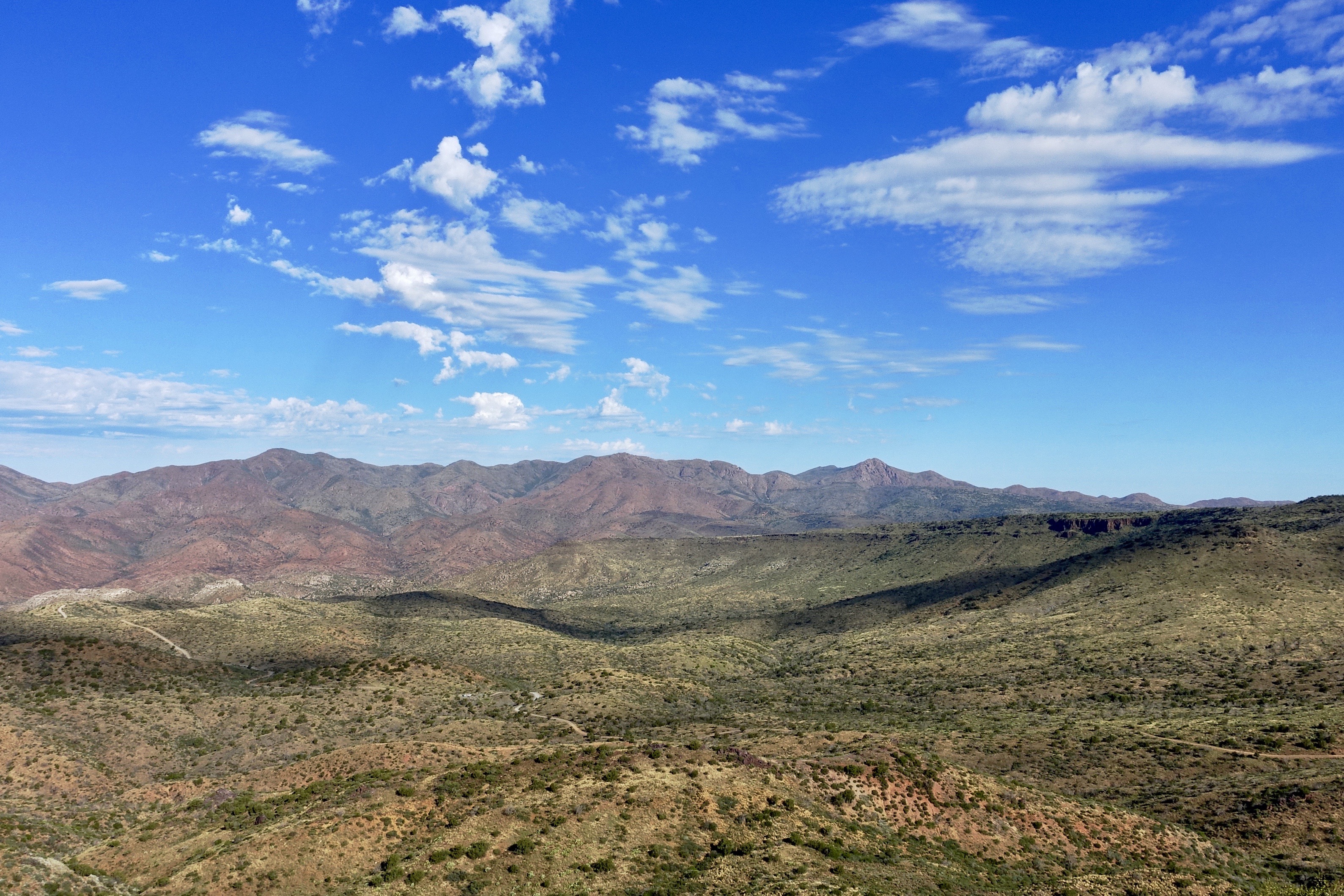
The evening view from Black Mountain.

Sunrise Cactus

Cool Retro Diner Arrow Sign: Big Earl's Greasy Eats, Cave Creek, Close-up, West View

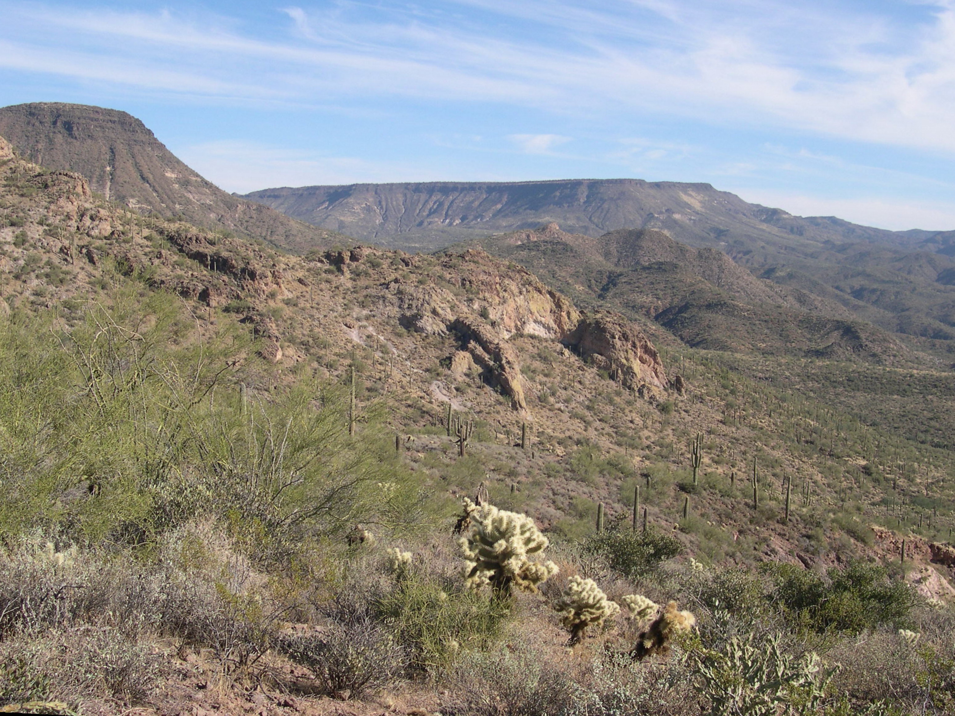
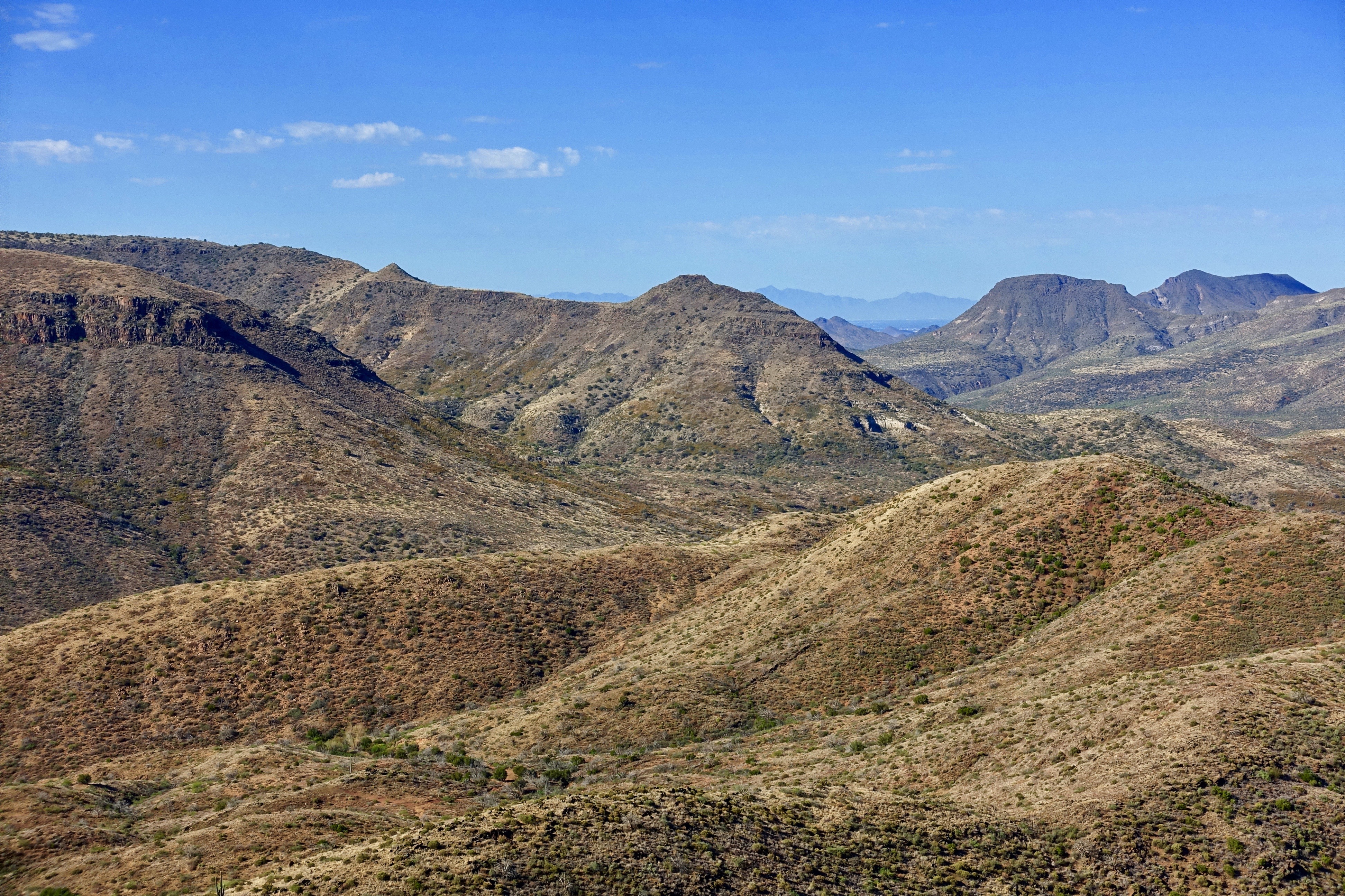
470. Panoramic view from hilltop west of old stone ruin along FR 468
El Niño Desert
431. View from hilltop below Grapevine Mesa with Red Mountain as the predominant feature

Elephant Mountain Sunrise
432. View from hilltop below Grapevine Mesa with New River Mountains as backdrop

View to southwest approaching Black Mesa - Spur Cross

Cool Retro AZ Diner Sign: Big Earl's Greasy Eats, Cave Creek, View to the East
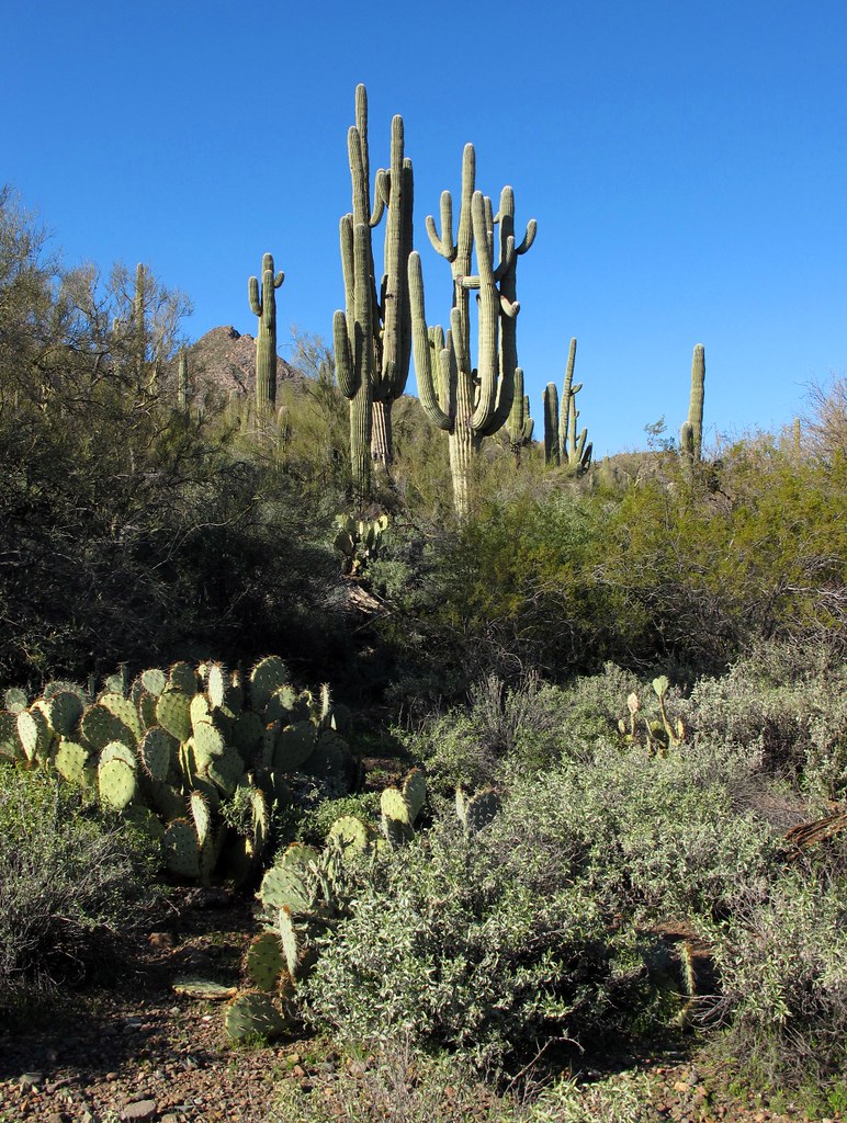
Desert Green Scene

Sugarloaf Mountain and Skull Mesa from Black Mesa Trail - Spur Cross
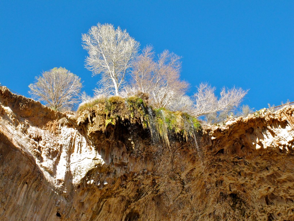
39. A landscape view looking south from underneath the Tonto Natural Bridge
Elephant Mountain view to east south east

Retro Diner, Red Arrow Sign: Big Earl's Greasy Eats, Cave Creek, Street View to West, Cave Creek, AZ

Adventures in Wildflowerland
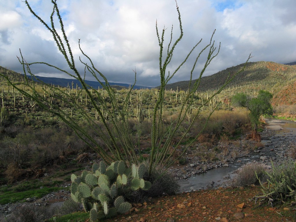
Water Course

377. Portrait view of Sugarloaf Mountain with saguaros in the foreground
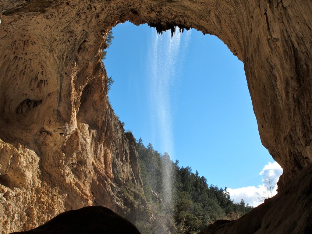
33. Zoomed in view of waterfall descending from the Tonto Natural Bridge
Elephant Mountain in the Spur Cross Ranch looking NE at Skull Mesa in the Tonto National Forest
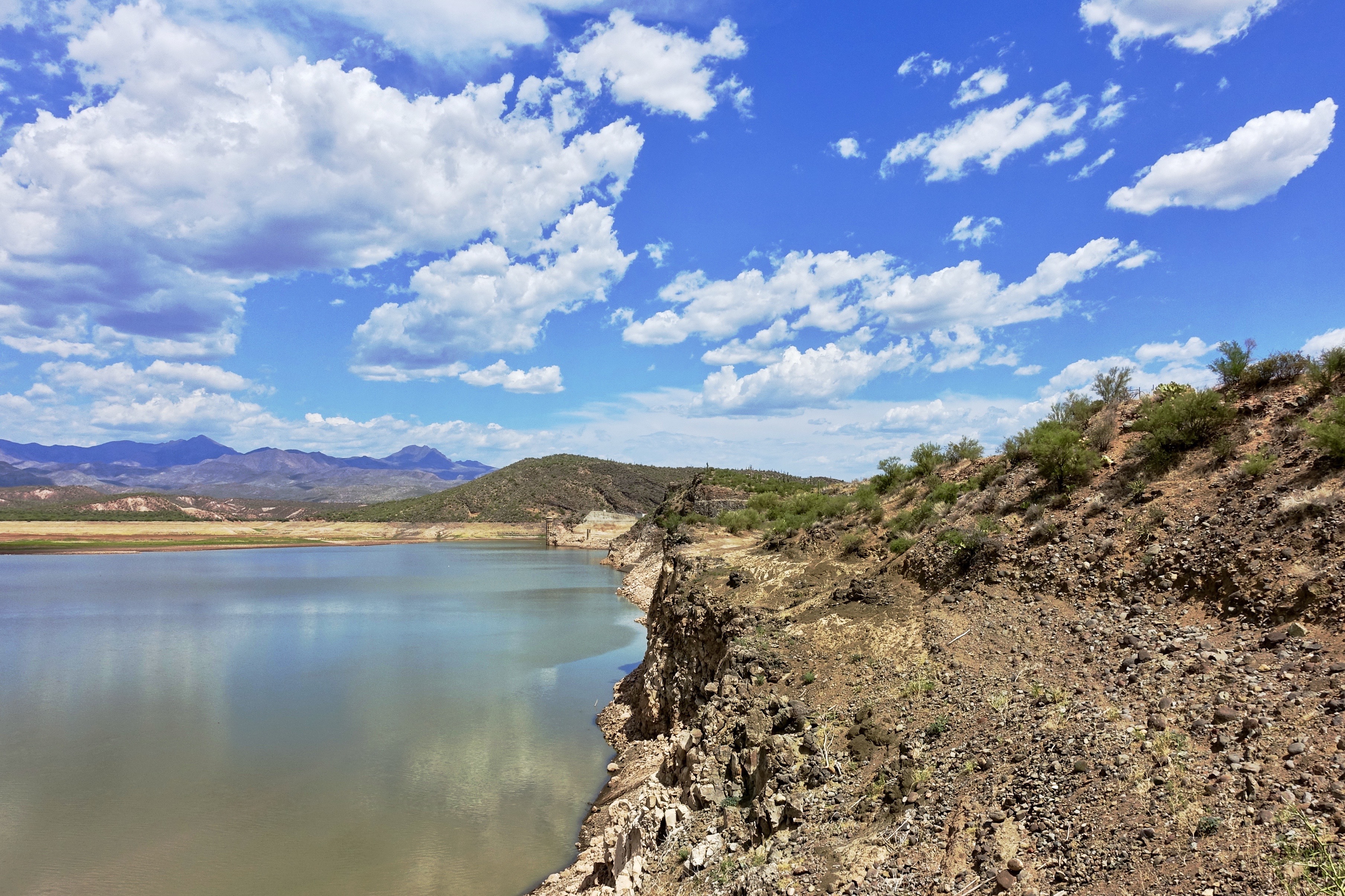
79. Horseshoe Reservoir at about 2% capacity on July 7th
371. View from atop Quien Sabe summit centered on Black Mountain in the distance
Horseshoe and Humboldt
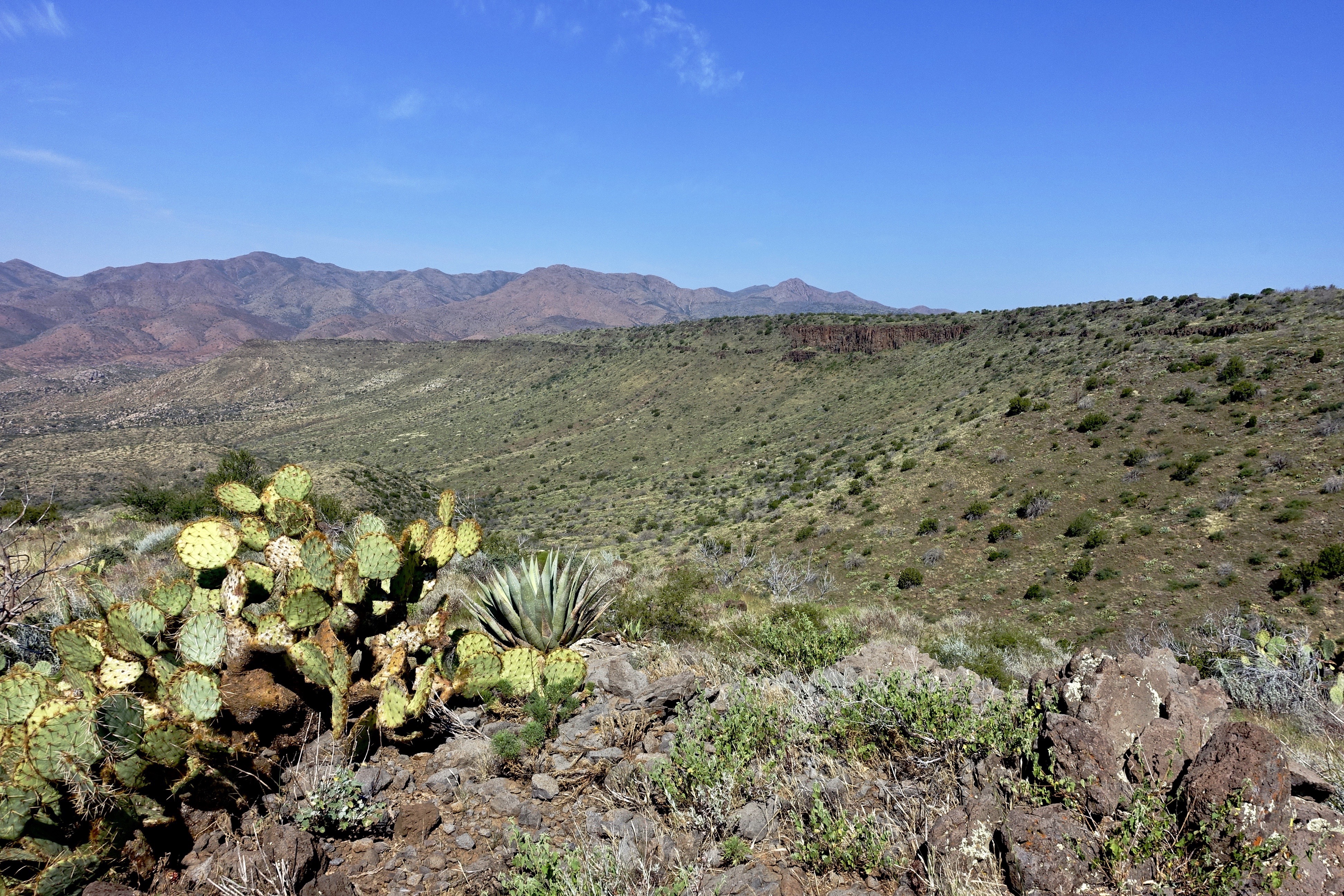
471. Skull Mesa - Sugarloaf - Elephant Mountain as seen from hilltop off FR 468
farewell cave creek
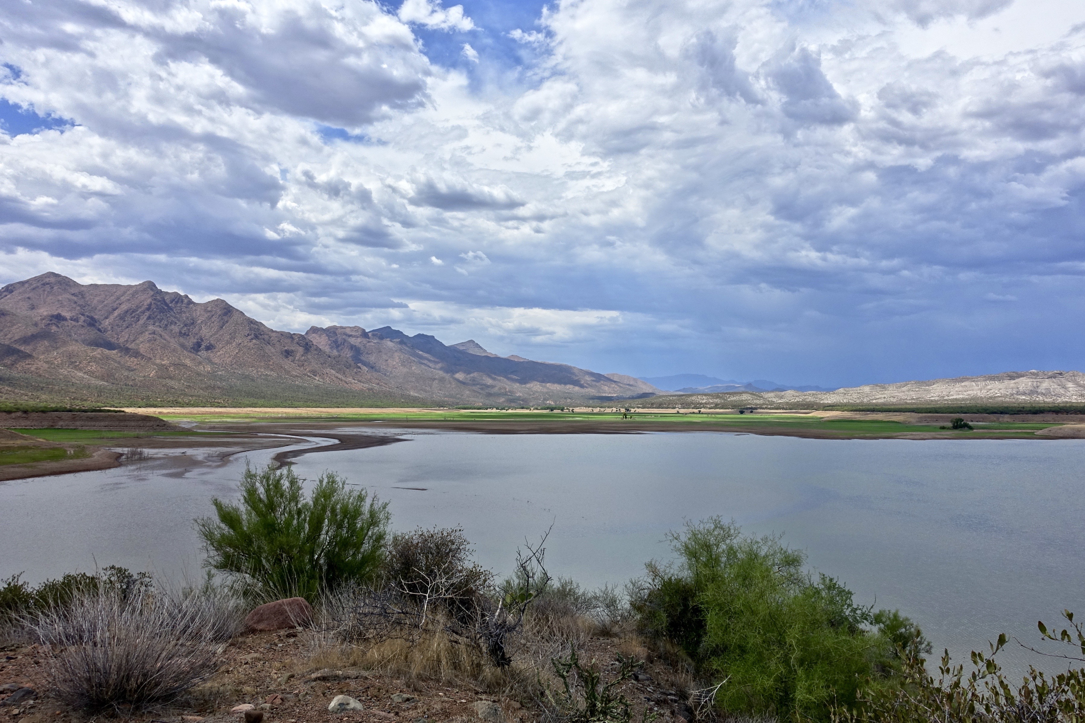
77. Horseshoe Reservoir at 2% capacity on July 7th
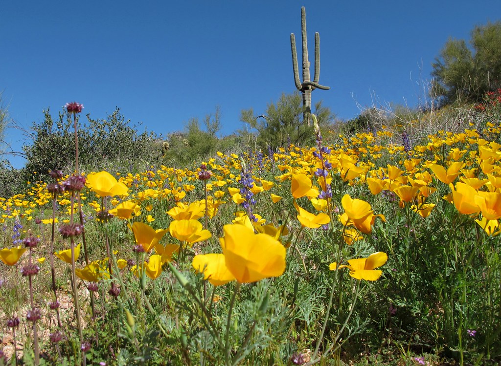
Spring Has Sprung!

476. Skull Mesa - Sugarloaf Mountain - Elephant Mountain - Black Mesa

474. Looking back at my return hike along FR 468 from hilltop west of old stone ruin
475. Sun flare captured over FR 468 in the Tonto National Forest
IMG_1219.JPG

Winter wash
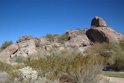
Boulder Rock
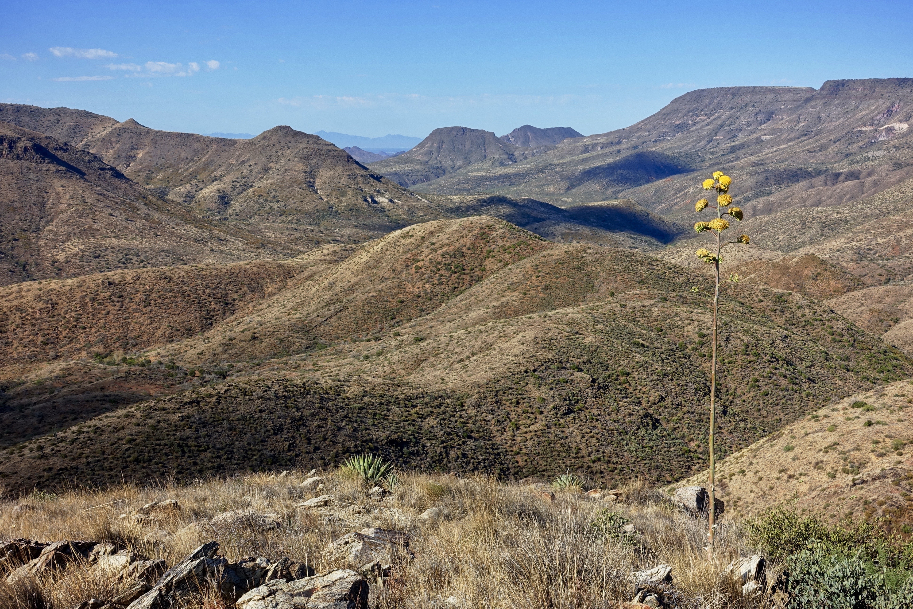
469. Blooming century plant in foreground of Skull Mesa - Sugarloaf Mountain - Elephant Mountain - Black Mesa
Welcome to Arizona. Here's a (tone)Map of the Area!
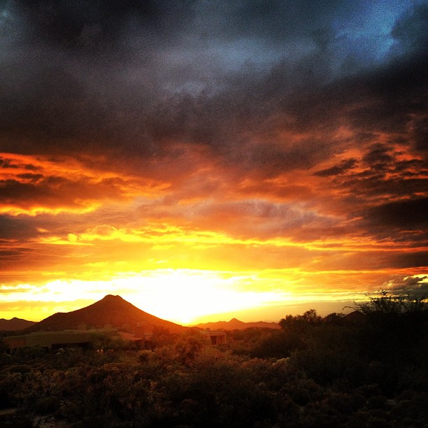
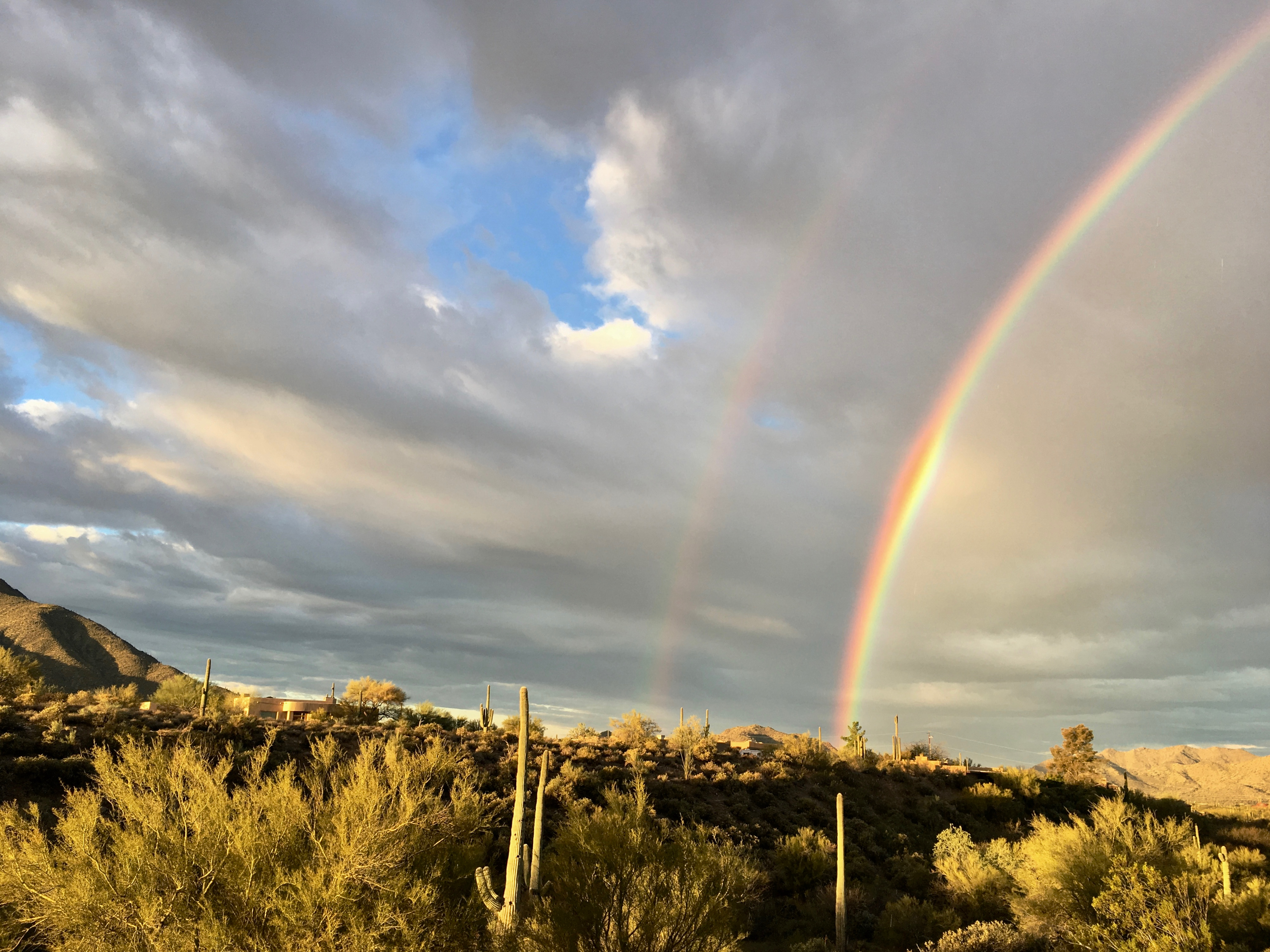
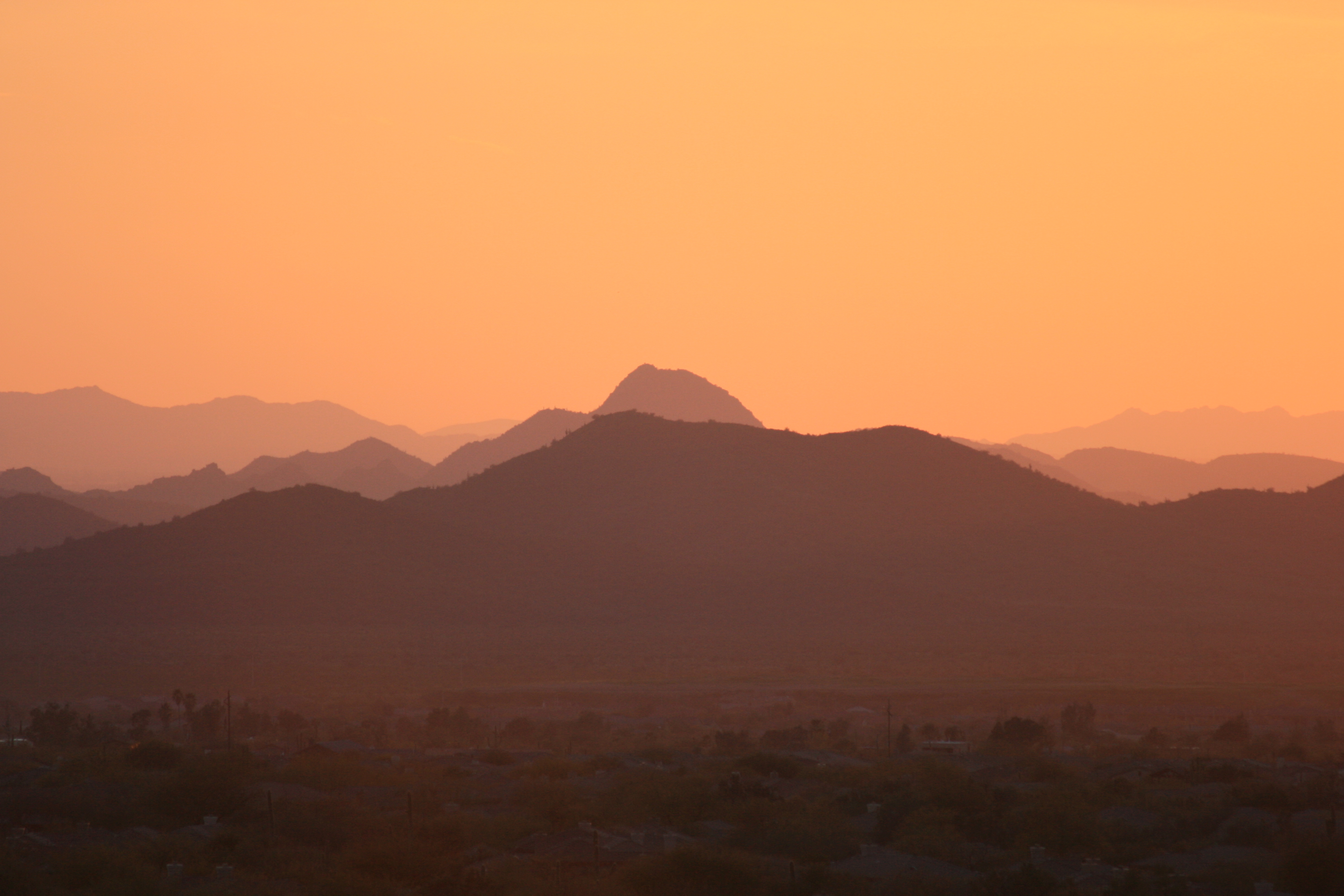
Sky on fire.

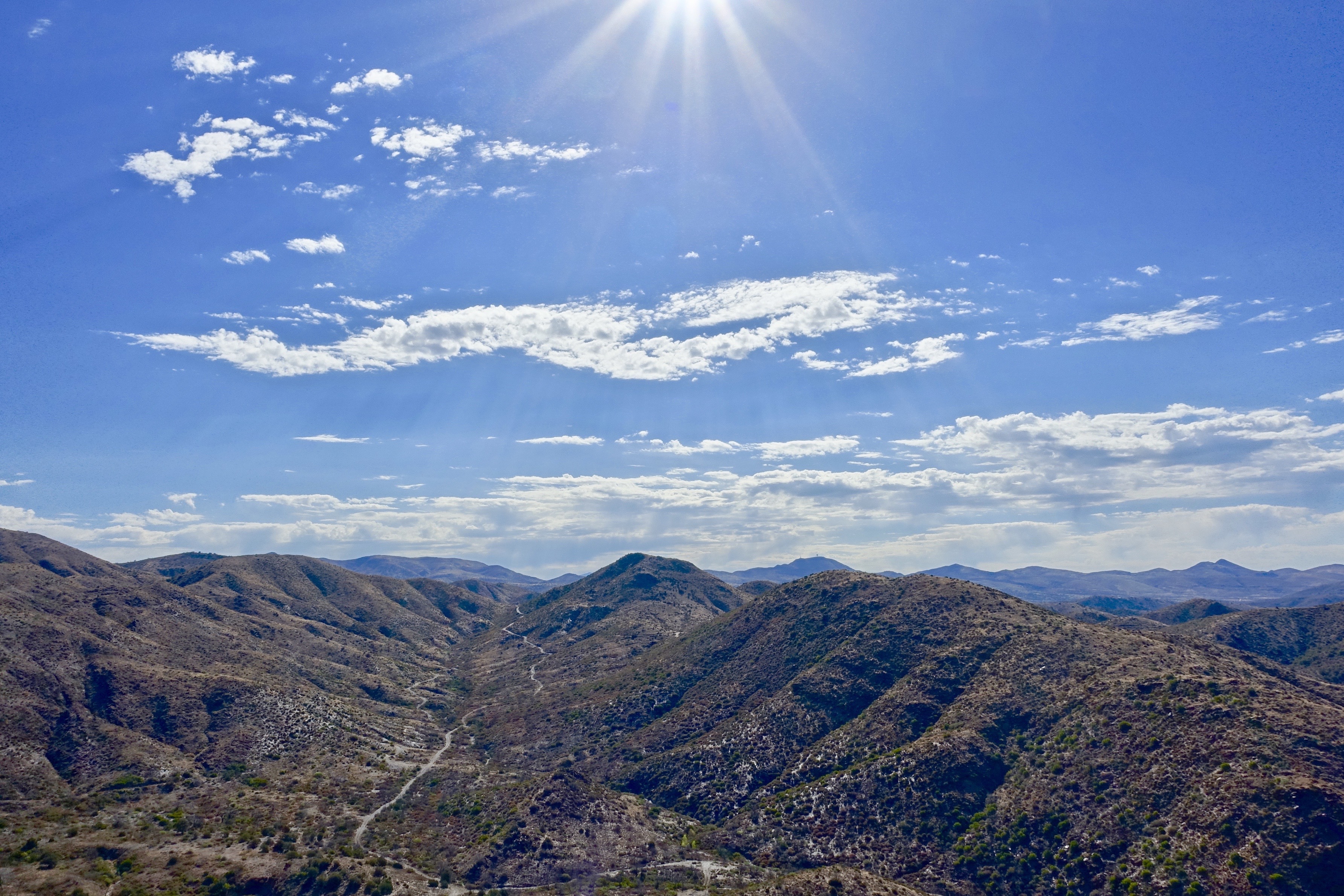
372. Panorama of distant mountaintop landmarks as seen from summit of Quien Sabe
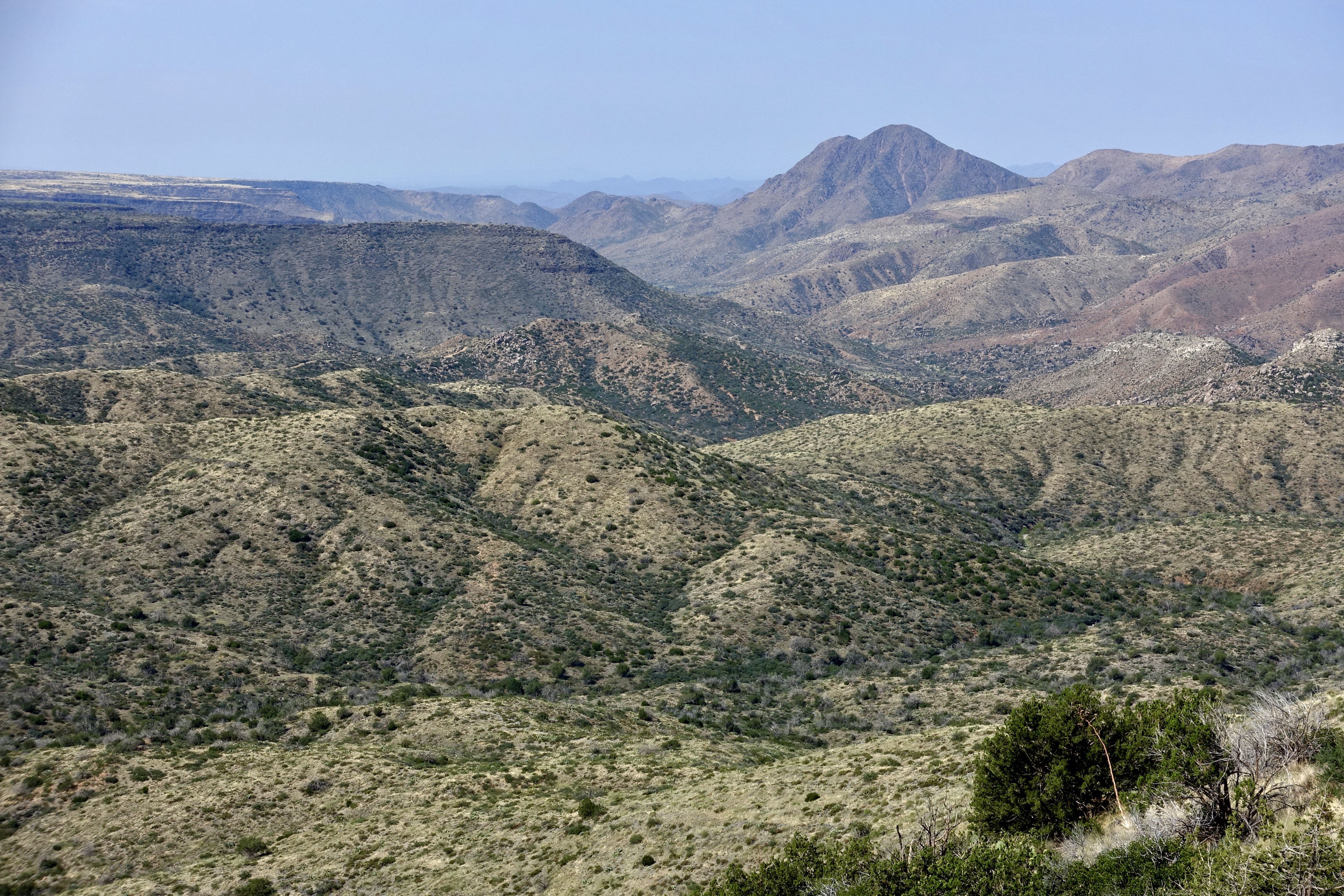
411. New River Mountains and Grapevine Mesa as seen from south of FR 3193
Topographic Map of N Seven Springs Rd #19, Scottsdale, AZ, USA
Find elevation by address:

Places near N Seven Springs Rd #19, Scottsdale, AZ, USA:
46200 N Seven Springs Rd
46200 N Seven Springs Rd
N Seven Springs Rd, Scottsdale, AZ, USA
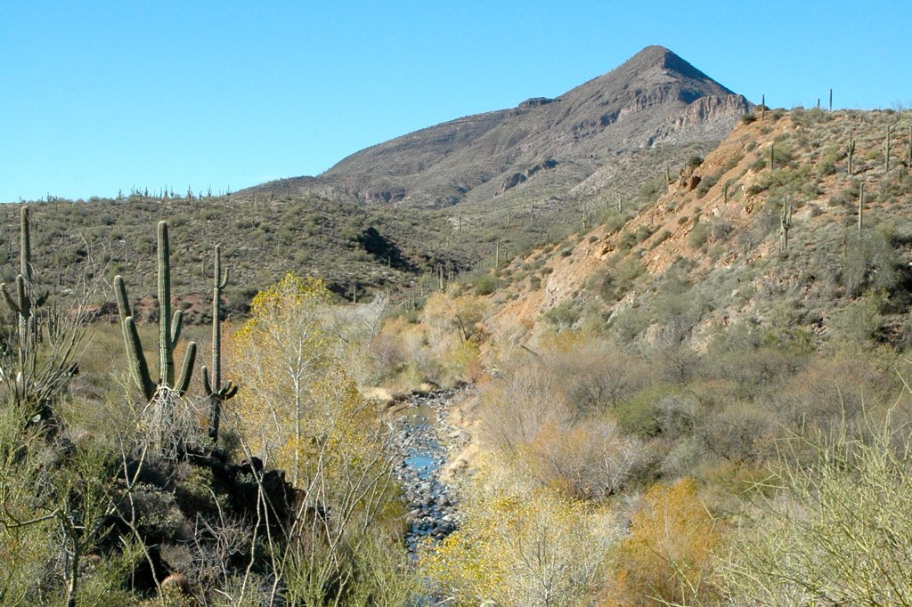
Camp Creek
46200 N Seven Springs Rd
11802 E Blue Wash Rd
Tonto Hills
43031 N 111th Pl
42220 N La Plata Rd
42208 N La Plata Rd
42401 N Old Mine Rd
42029 N La Plata Rd #47
North Deer Trail Road
Desert Mountain, Apache Peak
41777 N 111th Pl
42088 N 108th Pl
41212 N 111th St
42725 North 102nd Street
11157 E Mesquite Dr
10992 E Oatman Dr
Recent Searches:
- Elevation map of Greenland, Greenland
- Elevation of Sullivan Hill, New York, New York, 10002, USA
- Elevation of Morehead Road, Withrow Downs, Charlotte, Mecklenburg County, North Carolina, 28262, USA
- Elevation of 2800, Morehead Road, Withrow Downs, Charlotte, Mecklenburg County, North Carolina, 28262, USA
- Elevation of Yangbi Yi Autonomous County, Yunnan, China
- Elevation of Pingpo, Yangbi Yi Autonomous County, Yunnan, China
- Elevation of Mount Malong, Pingpo, Yangbi Yi Autonomous County, Yunnan, China
- Elevation map of Yongping County, Yunnan, China
- Elevation of North 8th Street, Palatka, Putnam County, Florida, 32177, USA
- Elevation of 107, Big Apple Road, East Palatka, Putnam County, Florida, 32131, USA
- Elevation of Jiezi, Chongzhou City, Sichuan, China
- Elevation of Chongzhou City, Sichuan, China
- Elevation of Huaiyuan, Chongzhou City, Sichuan, China
- Elevation of Qingxia, Chengdu, Sichuan, China
- Elevation of Corso Fratelli Cairoli, 35, Macerata MC, Italy
- Elevation of Tallevast Rd, Sarasota, FL, USA
- Elevation of 4th St E, Sonoma, CA, USA
- Elevation of Black Hollow Rd, Pennsdale, PA, USA
- Elevation of Oakland Ave, Williamsport, PA, USA
- Elevation of Pedrógão Grande, Portugal