Elevation of Vellakoil, Tamil Nadu, India
Location: India > Tamil Nadu > Tiruppur >
Longitude: 77.7125767
Latitude: 10.9459614
Elevation: 234m / 768feet
Barometric Pressure: 99KPa
Elevation Map:
Satellite Map:
Related Photos:

Praveen J R

Meenakshi Iyer

2014-12-31_09-42-36

2014-12-31_09-42-36

Joel & Durai

Rajendra prasad kovi
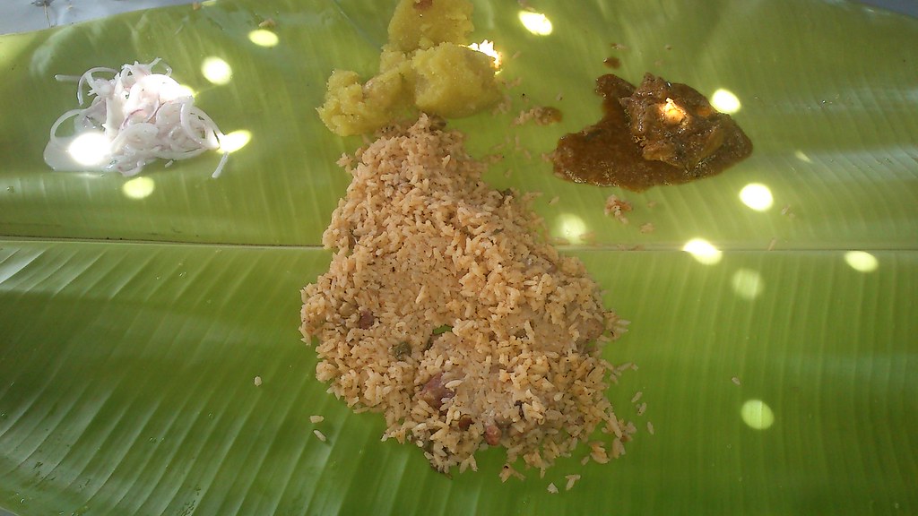
Biriyani @ Thalayur
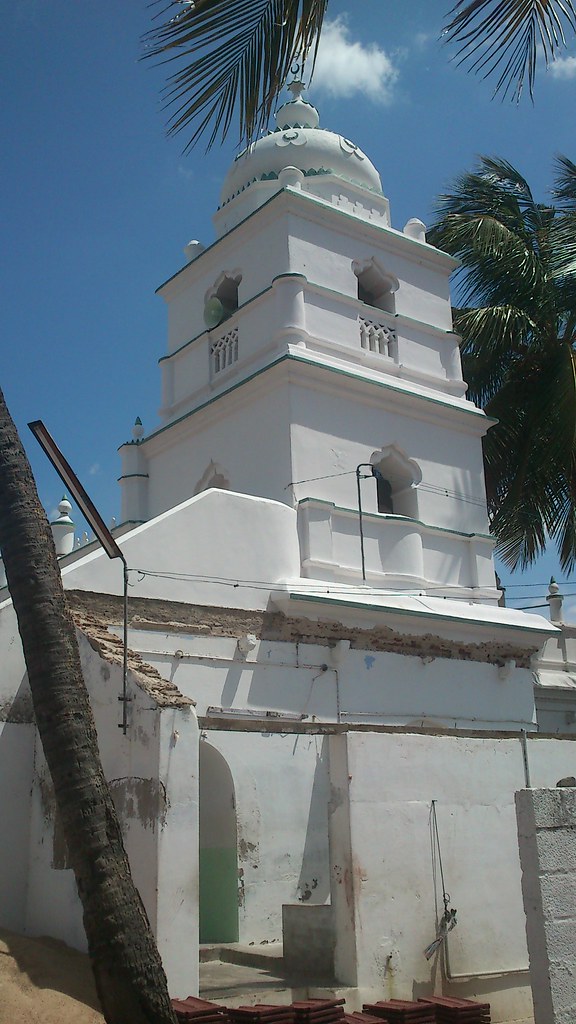
Masjid @ Thalayur

Water Tank at Thalayur

Water Tank at Thalayur
Topographic Map of Vellakoil, Tamil Nadu, India
Find elevation by address:

Places near Vellakoil, Tamil Nadu, India:
Mulanur
Kangayam
Kodumudi
Kundadam
Dharapuram
Pallapatti
Modakurichi
Lord Malligarjuna Swamy Temple
Tiruppur
Pongalur
Uthukuli
Ranga Malai
Karur
Vadamalai
Government Hospital
Palayakadu
Pillayar Kovil St
Noyyal
Tirupur Tirupur - Old Busstand
Tiruppur Corporation Office
Recent Searches:
- Elevation of Corso Fratelli Cairoli, 35, Macerata MC, Italy
- Elevation of Tallevast Rd, Sarasota, FL, USA
- Elevation of 4th St E, Sonoma, CA, USA
- Elevation of Black Hollow Rd, Pennsdale, PA, USA
- Elevation of Oakland Ave, Williamsport, PA, USA
- Elevation of Pedrógão Grande, Portugal
- Elevation of Klee Dr, Martinsburg, WV, USA
- Elevation of Via Roma, Pieranica CR, Italy
- Elevation of Tavkvetili Mountain, Georgia
- Elevation of Hartfords Bluff Cir, Mt Pleasant, SC, USA