Elevation map of Tiruppur, Tamil Nadu, India
Location: India > Tamil Nadu >
Longitude: 77.3783789
Latitude: 10.8985415
Elevation: 364m / 1194feet
Barometric Pressure: 97KPa
Elevation Map:
Satellite Map:
Related Photos:

Saravana kumar Palanisamy
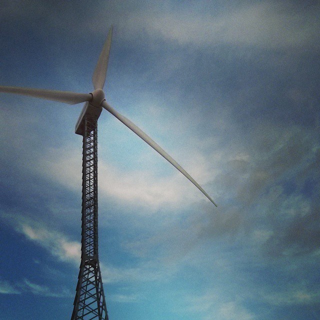
#Windmill #sky #blue #clouds #white #roadtrip #nexus #wind

Insane taxi driver who tried to run over a woman

my album

Common Crow (Euploea core)

Common Crow (Euploea core)

On a highway in Coimbatore District

Post-Event-Scrutiny
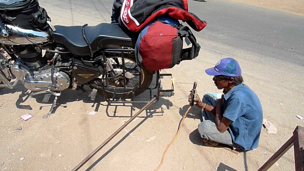
Bike repairs.
Topographic Map of Tiruppur, Tamil Nadu, India
Find elevation by address:

Places in Tiruppur, Tamil Nadu, India:
Tiruppur
Ward 3
Dharapuram
Kangayam
Udumalpet
Gudimangalam
Kundadam
Mulanur
Pongalur
Uthukuli
Vellakoil
Andigoundanur
Anamalai R.f.
Ramanathapuram
Sinnaripalayam
Kudiraiar And Kookal R.f.
Avinashi
Places near Tiruppur, Tamil Nadu, India:
Pongalur
Kundadam
Government Hospital
Tirupur Tirupur - Old Busstand
Tiruppur Corporation Office
Noyyal
Kangayam
Palayakadu
Pillayar Kovil St
Dharapuram
Uthukuli
Vellakoil
Ward 3
Madathukulam
Mulanur
Thoppampatti
Lord Malligarjuna Swamy Temple
Palani Home
Anna Nagar
Palani
Recent Searches:
- Elevation of Corso Fratelli Cairoli, 35, Macerata MC, Italy
- Elevation of Tallevast Rd, Sarasota, FL, USA
- Elevation of 4th St E, Sonoma, CA, USA
- Elevation of Black Hollow Rd, Pennsdale, PA, USA
- Elevation of Oakland Ave, Williamsport, PA, USA
- Elevation of Pedrógão Grande, Portugal
- Elevation of Klee Dr, Martinsburg, WV, USA
- Elevation of Via Roma, Pieranica CR, Italy
- Elevation of Tavkvetili Mountain, Georgia
- Elevation of Hartfords Bluff Cir, Mt Pleasant, SC, USA