Elevation of Mulanur, Tamil Nadu, India
Location: India > Tamil Nadu > Tiruppur >
Longitude: 77.7080064
Latitude: 10.7929874
Elevation: 222m / 728feet
Barometric Pressure: 99KPa
Elevation Map:
Satellite Map:
Related Photos:

Praveen J R

Meenakshi Iyer

Joel & Durai

Rajendra prasad kovi

Biriyani @ Thalayur
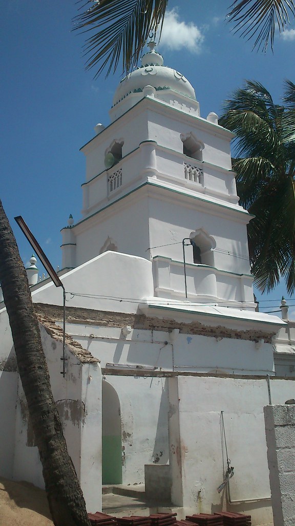
Masjid @ Thalayur

Water Tank at Thalayur

Water Tank at Thalayur
Topographic Map of Mulanur, Tamil Nadu, India
Find elevation by address:

Places near Mulanur, Tamil Nadu, India:
Vellakoil
Lord Malligarjuna Swamy Temple
Dharapuram
Pallapatti
Ranga Malai
Kangayam
Vadamalai
Kundadam
Thoppampatti
Oddanchatram
Kodumudi
Dindigul
Tiruppur
Vedasandur
Pongalur
Palani Home
Anna Nagar
Palani
Giri Veethi
Arulmigu Dhandayuthapani Swamy Temple
Recent Searches:
- Elevation of Corso Fratelli Cairoli, 35, Macerata MC, Italy
- Elevation of Tallevast Rd, Sarasota, FL, USA
- Elevation of 4th St E, Sonoma, CA, USA
- Elevation of Black Hollow Rd, Pennsdale, PA, USA
- Elevation of Oakland Ave, Williamsport, PA, USA
- Elevation of Pedrógão Grande, Portugal
- Elevation of Klee Dr, Martinsburg, WV, USA
- Elevation of Via Roma, Pieranica CR, Italy
- Elevation of Tavkvetili Mountain, Georgia
- Elevation of Hartfords Bluff Cir, Mt Pleasant, SC, USA