Elevation of Vehkaperäntie, Kyyjärvi, Finland
Location: Finland > Kyyjärvi >
Longitude: 24.339919
Latitude: 63.0005302
Elevation: 199m / 653feet
Barometric Pressure: 99KPa
Elevation Map:
Satellite Map:
Related Photos:

Tuija-Liisa
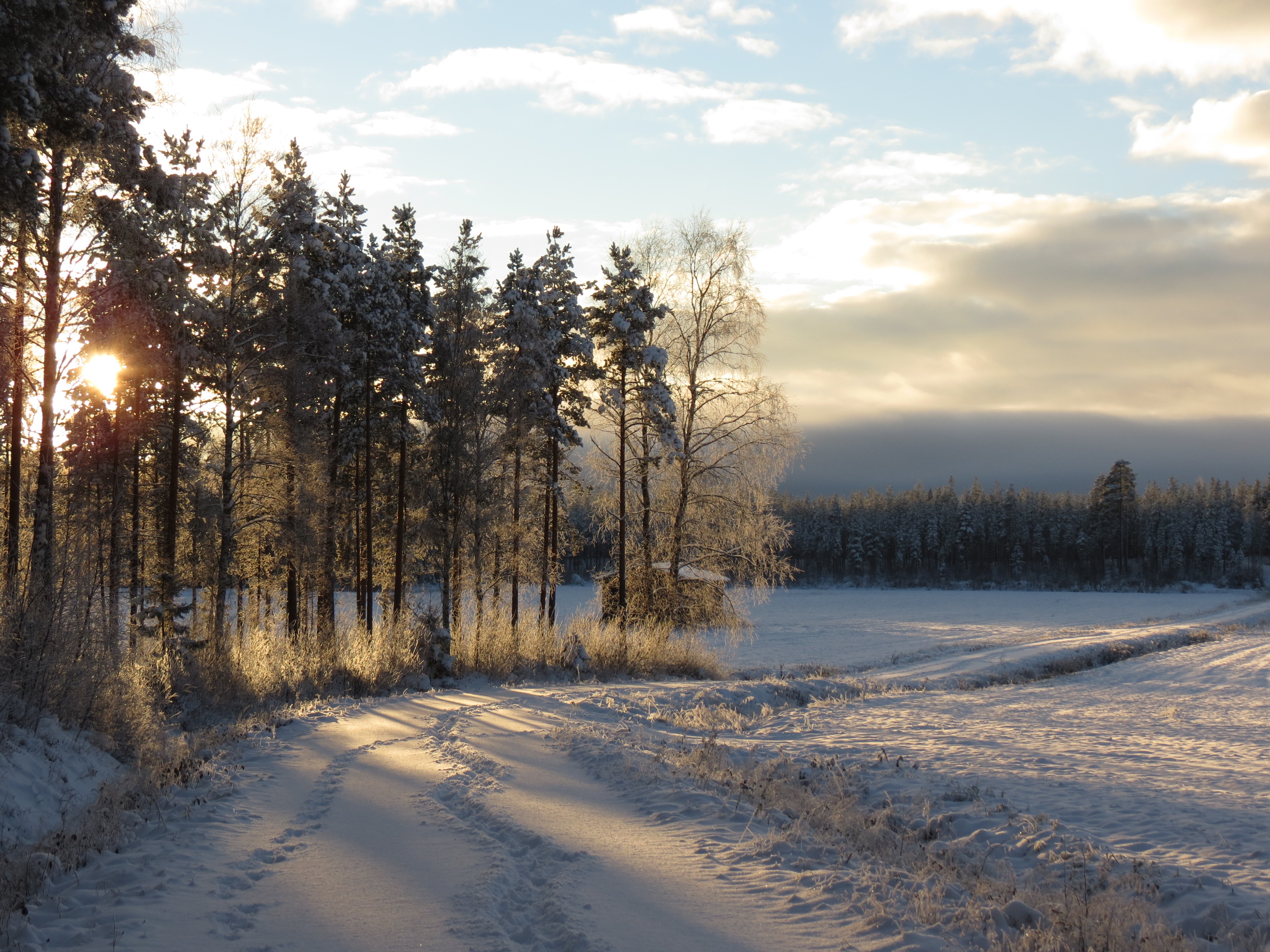
October in field
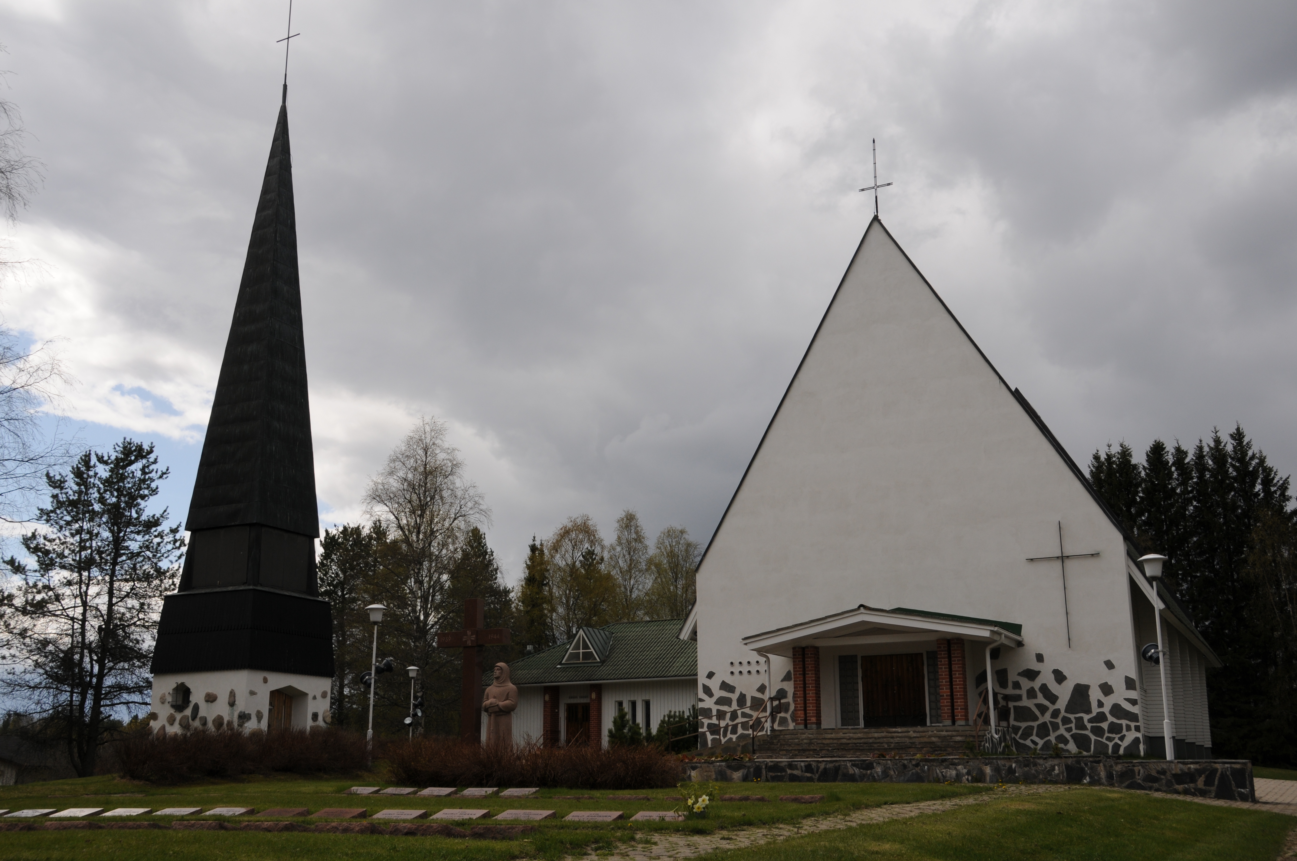
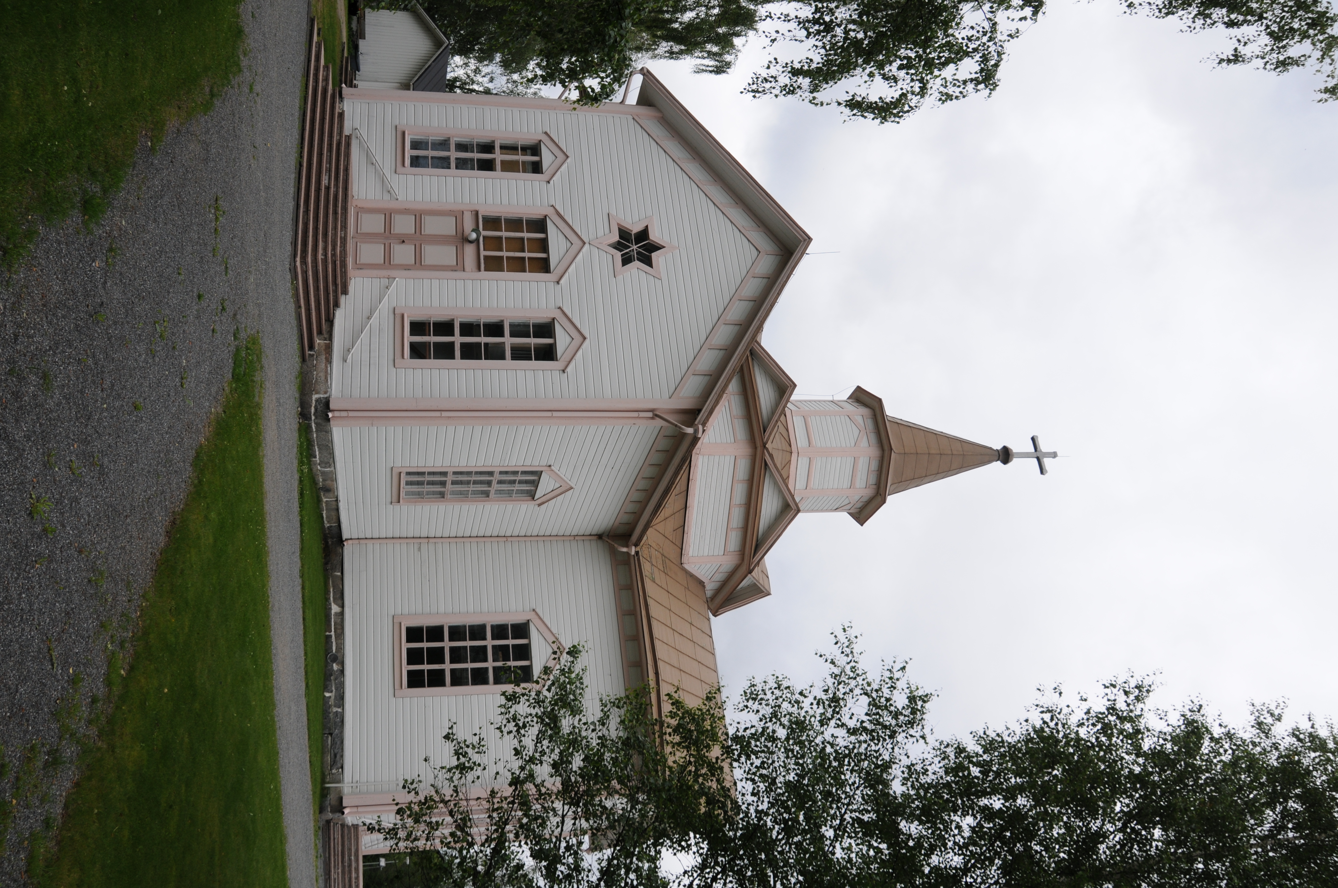
Kyyjärven kirkko

Kicksled sign
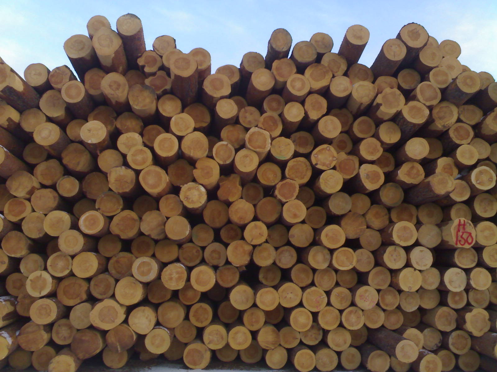
Timber!

Katri s
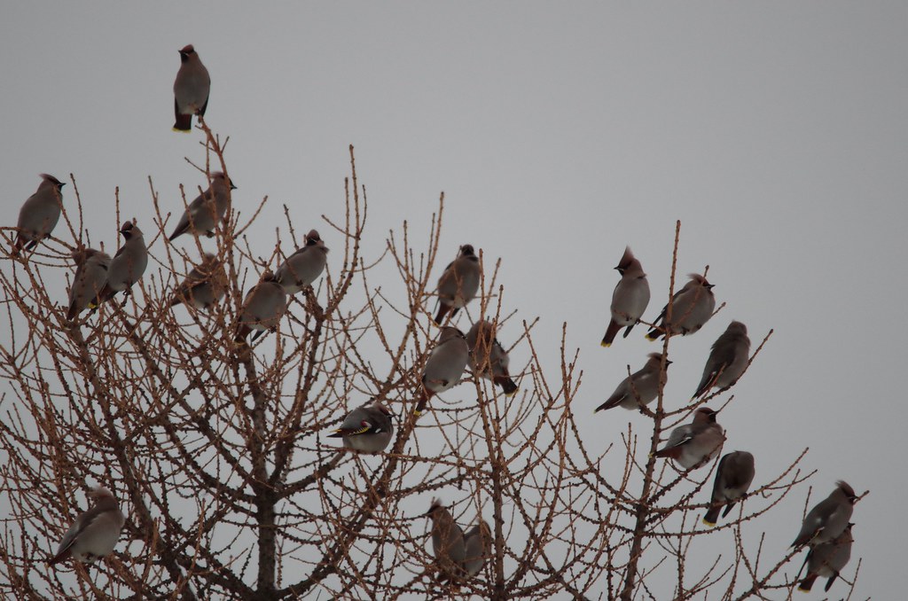
Bombycilla garrulus

Bombycilla garrulus

Dripping paints manicure
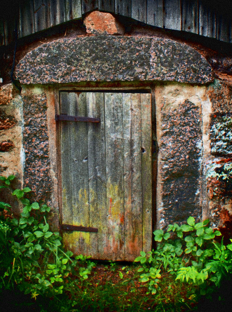
Karstula Icehouse

May sky
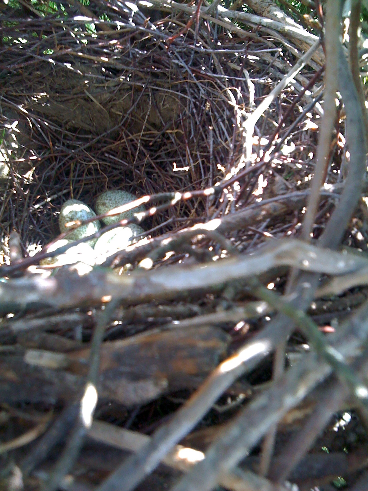
Magpie's nest
Soinin kirkko

Soinin kirkon vaivaisakka
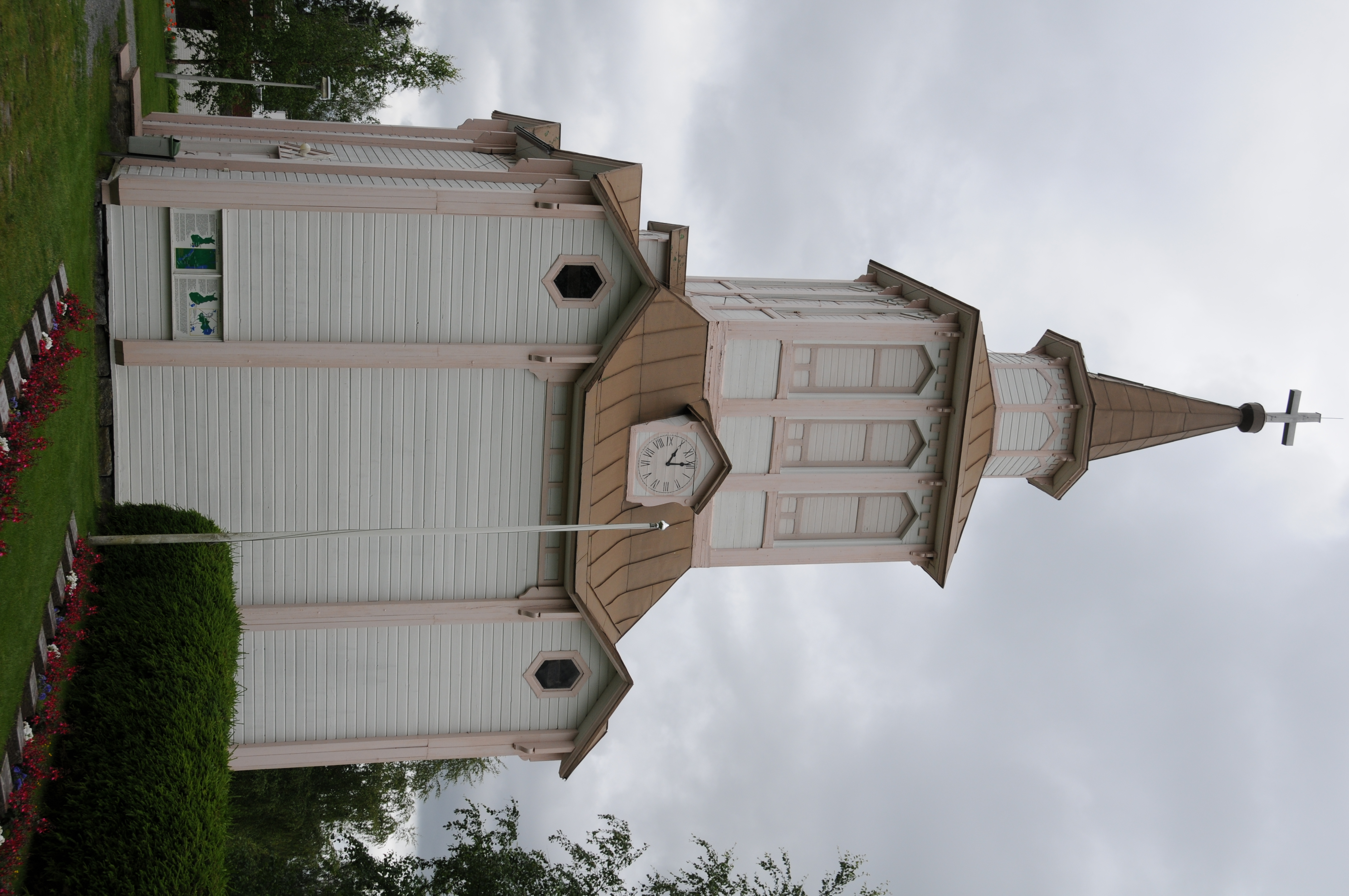
Soinin kirkon kellotapuli
Topographic Map of Vehkaperäntie, Kyyjärvi, Finland
Find elevation by address:

Places near Vehkaperäntie, Kyyjärvi, Finland:
Möksyntie, Soini, Finland
Kyyjärvi
Karstulantie 3, Soini, Finland
Mäntyniementie 46, Kyyjärvi, Finland
Taipaleentie, Perho, Finland
Soini
Perho
Peltokankaantie 2, Perho, Finland
Lehtimäki
Ähtäri
Karstula
Luosantie, Ähtäri, Finland
Karstula
Myllymäentie, Saarijärvi, Finland
Valkeajärvenraitti 7, Keuruu, Finland
Valkeajärventie, Keuruu, Finland
Kaakkomäentie, Keuruu, Finland
Keuruu
Lehtolantie, Saarijärvi, Finland
Saarijärvi
Recent Searches:
- Elevation of Corso Fratelli Cairoli, 35, Macerata MC, Italy
- Elevation of Tallevast Rd, Sarasota, FL, USA
- Elevation of 4th St E, Sonoma, CA, USA
- Elevation of Black Hollow Rd, Pennsdale, PA, USA
- Elevation of Oakland Ave, Williamsport, PA, USA
- Elevation of Pedrógão Grande, Portugal
- Elevation of Klee Dr, Martinsburg, WV, USA
- Elevation of Via Roma, Pieranica CR, Italy
- Elevation of Tavkvetili Mountain, Georgia
- Elevation of Hartfords Bluff Cir, Mt Pleasant, SC, USA