Elevation of Taipaleentie, Perho, Finland
Location: Finland > Perho >
Longitude: 24.4685075
Latitude: 63.1840073
Elevation: 158m / 518feet
Barometric Pressure: 99KPa
Elevation Map:
Satellite Map:
Related Photos:

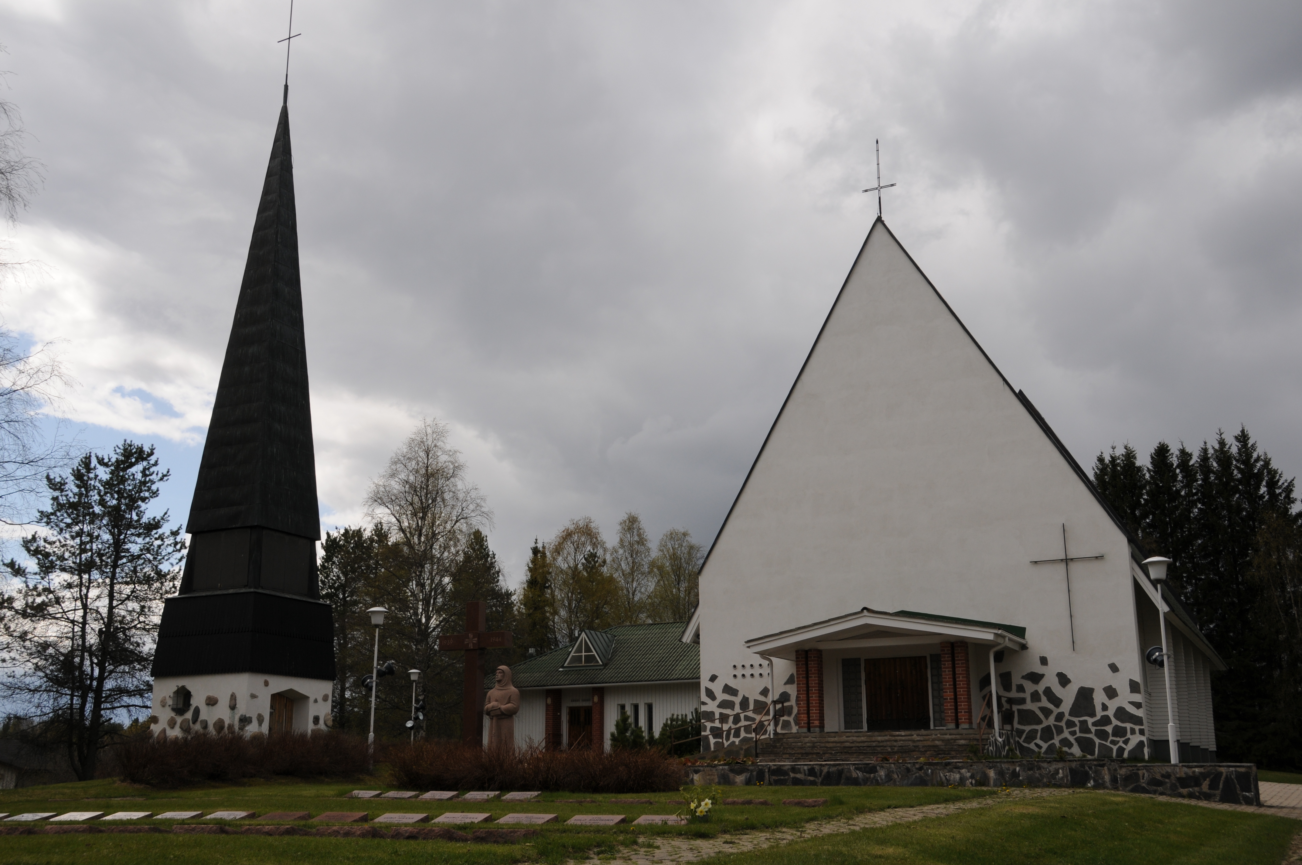
Perhon kirkko

Tuija-Liisa

Juhani ja Minna

Jermu ja Tatu.

kastell's showman

Kohta on kait joulu? #xmas #candy

Perhonjokilaakso, lukijan lyhyet 10.10. #greenpeace #lgbt

Riippumaton isäntä.

October in field

lehmä ja kukka
Kyyjärven kirkko
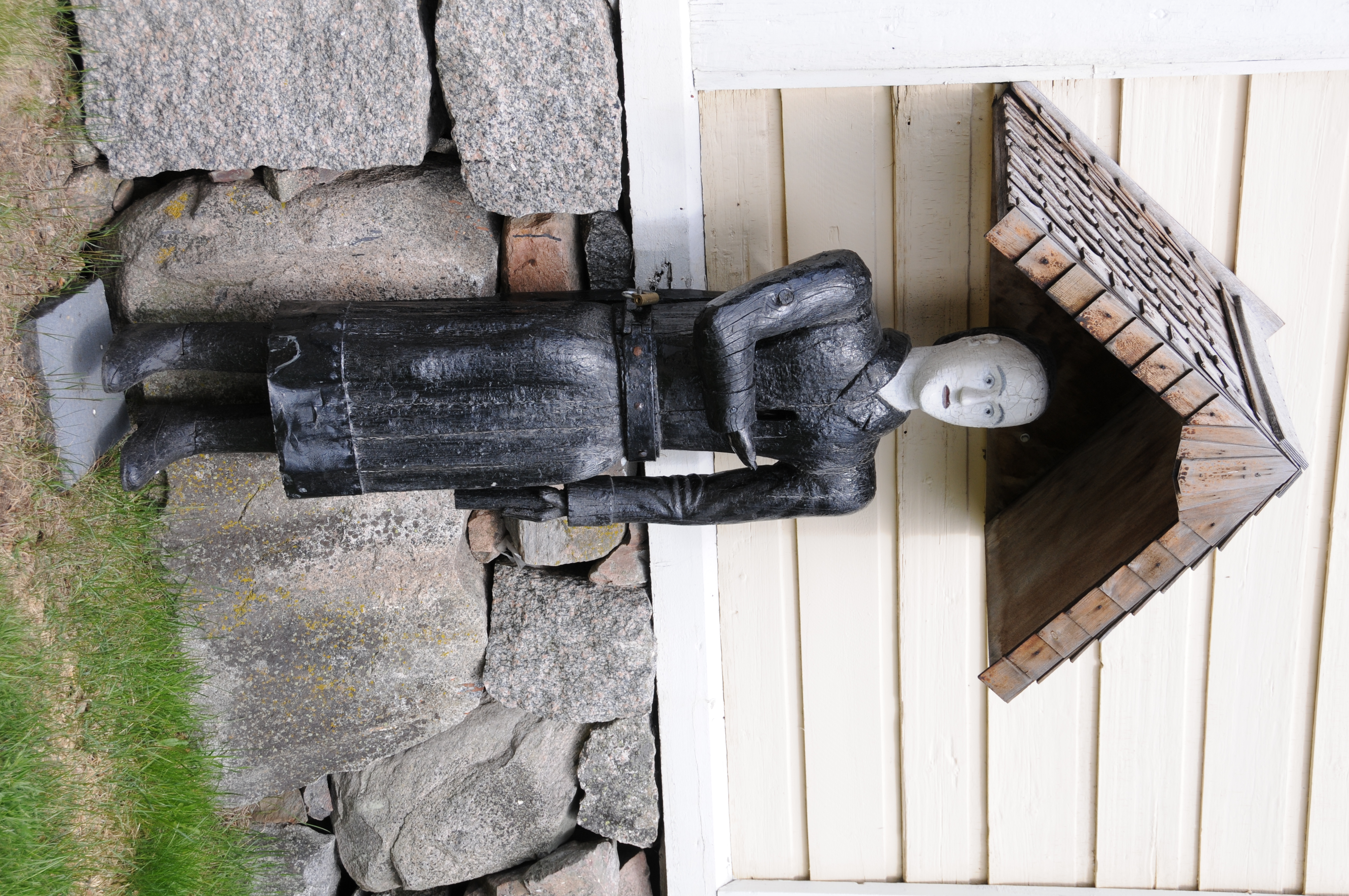
Perhon vaivaisukko

Timber!
11/03/2007 leaks...
03/03/2007 dive case
03/03/2007 dive case

03/03/2007 dive case

03/03/2007 dive case

03/03/2007 dive case

03/03/2007 dive case

03/03/2007 perho
Topographic Map of Taipaleentie, Perho, Finland
Find elevation by address:

Places near Taipaleentie, Perho, Finland:
Perho
Mäntyniementie 46, Kyyjärvi, Finland
Kyyjärvi
Peltokankaantie 2, Perho, Finland
Vehkaperäntie, Kyyjärvi, Finland
Möksyntie, Soini, Finland
Karstulantie 3, Soini, Finland
Karstula
Karstula
Soini
Myllymäentie, Saarijärvi, Finland
Lehtimäki
Ähtäri
Luosantie, Ähtäri, Finland
Valkeajärvenraitti 7, Keuruu, Finland
Lehtolantie, Saarijärvi, Finland
Valkeajärventie, Keuruu, Finland
Leppälänkyläntie 5, Kannonkoski, Finland
Kannonkoski
Saarijärvi
Recent Searches:
- Elevation of Corso Fratelli Cairoli, 35, Macerata MC, Italy
- Elevation of Tallevast Rd, Sarasota, FL, USA
- Elevation of 4th St E, Sonoma, CA, USA
- Elevation of Black Hollow Rd, Pennsdale, PA, USA
- Elevation of Oakland Ave, Williamsport, PA, USA
- Elevation of Pedrógão Grande, Portugal
- Elevation of Klee Dr, Martinsburg, WV, USA
- Elevation of Via Roma, Pieranica CR, Italy
- Elevation of Tavkvetili Mountain, Georgia
- Elevation of Hartfords Bluff Cir, Mt Pleasant, SC, USA