Elevation of Ähtäri, Finland
Location: Finland >
Longitude: 24.229734
Latitude: 62.5665451
Elevation: 188m / 617feet
Barometric Pressure: 99KPa
Elevation Map:
Satellite Map:
Related Photos:
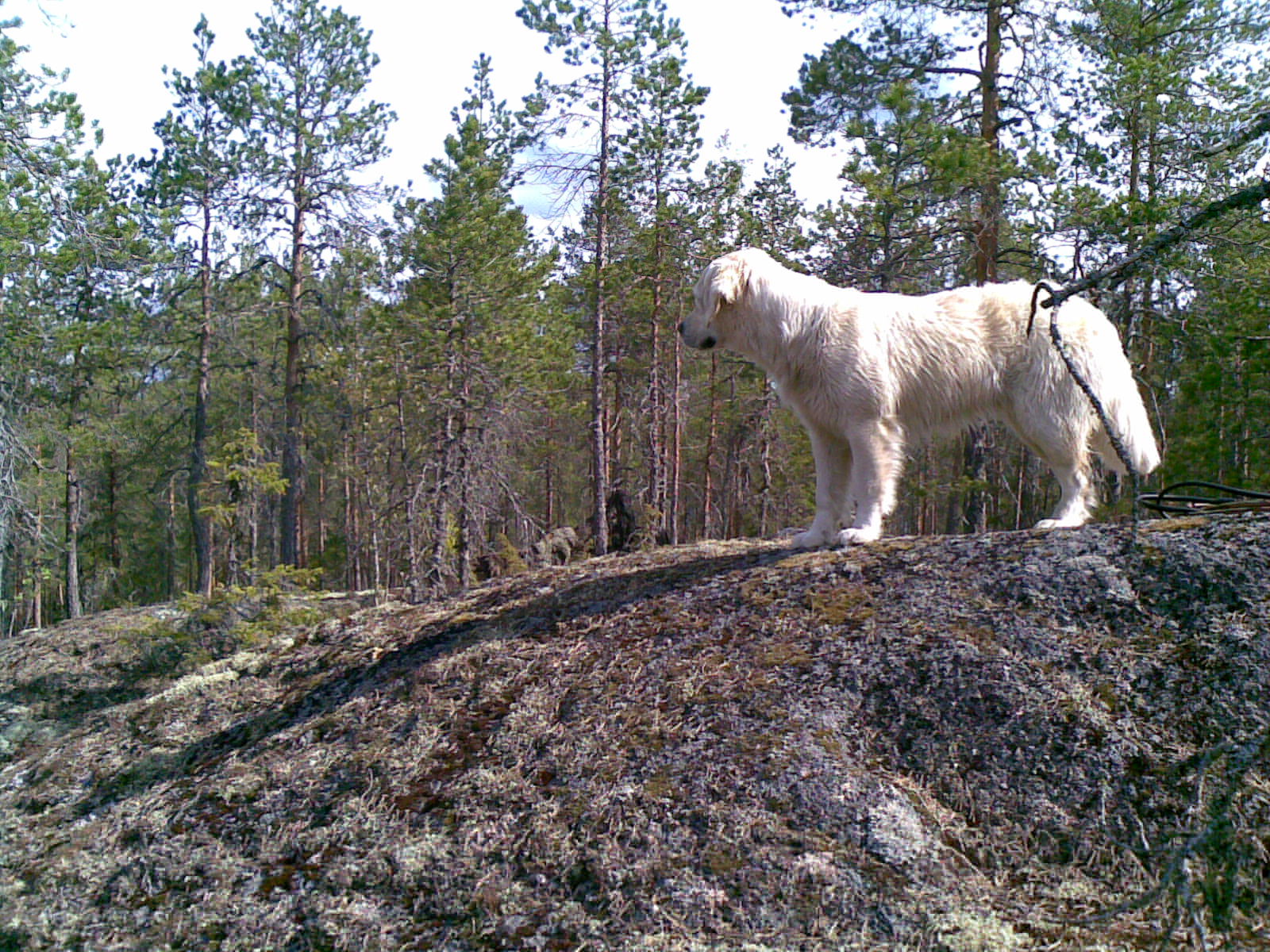
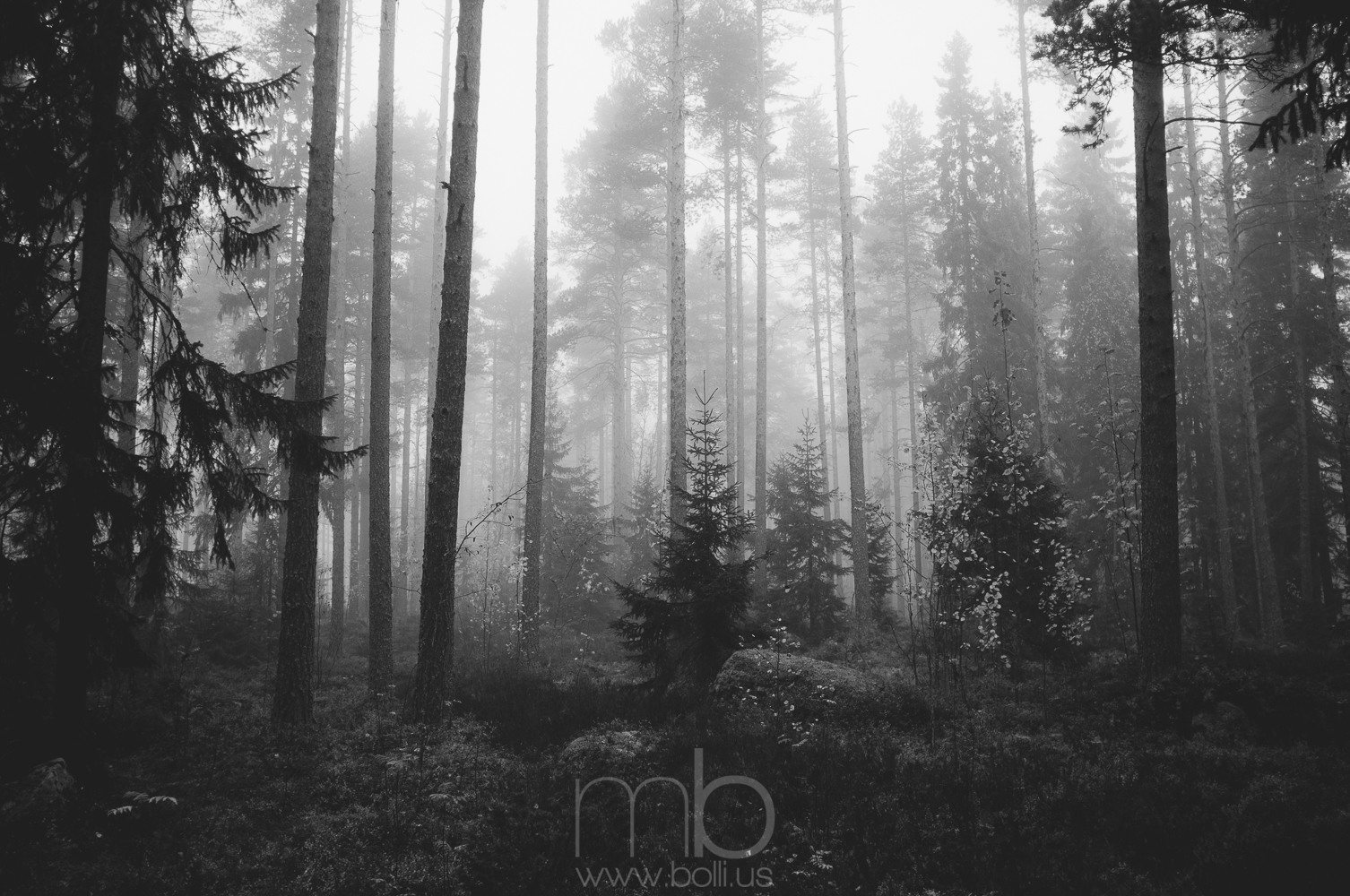
Fire mountain
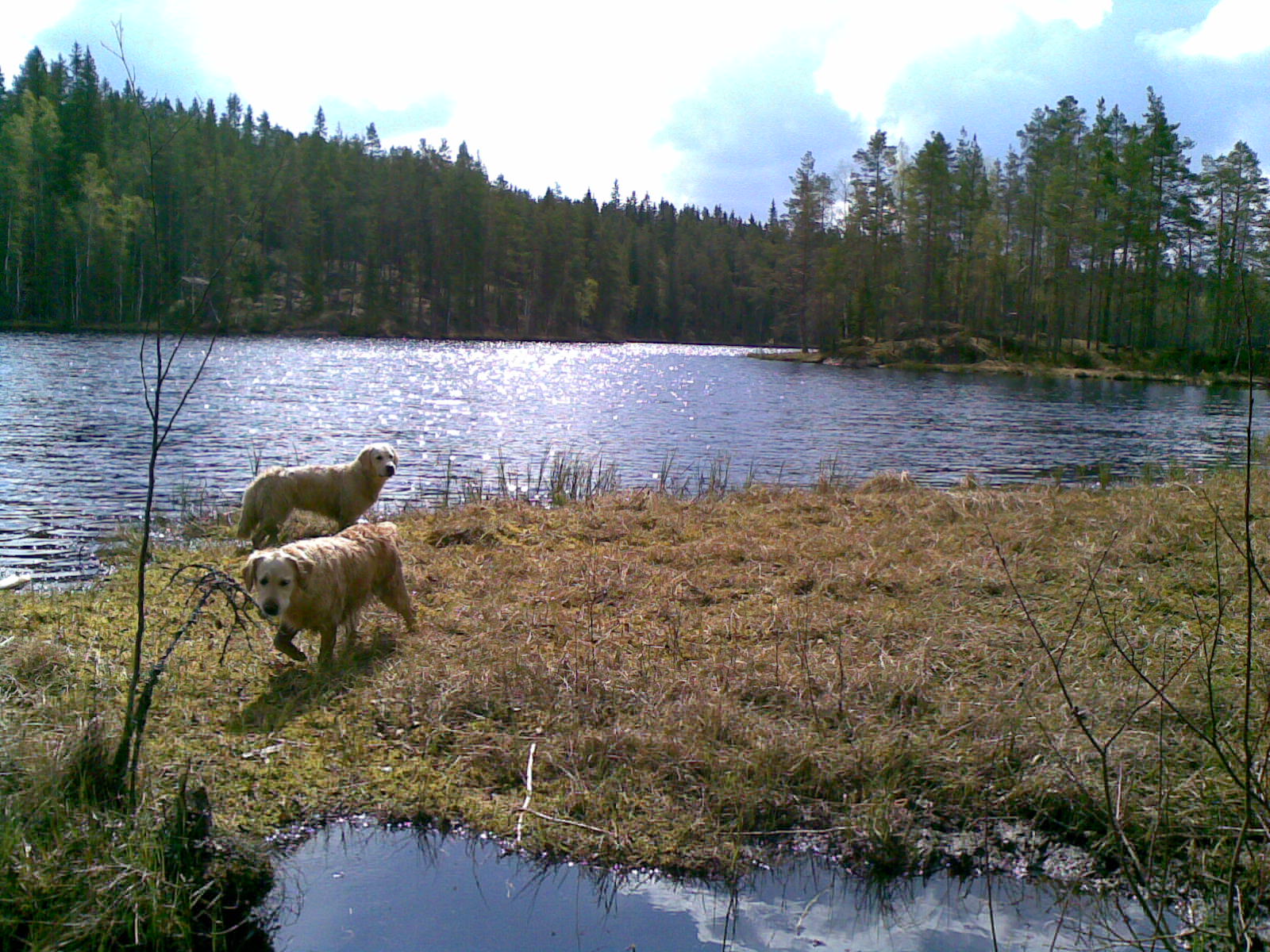
swampy lake
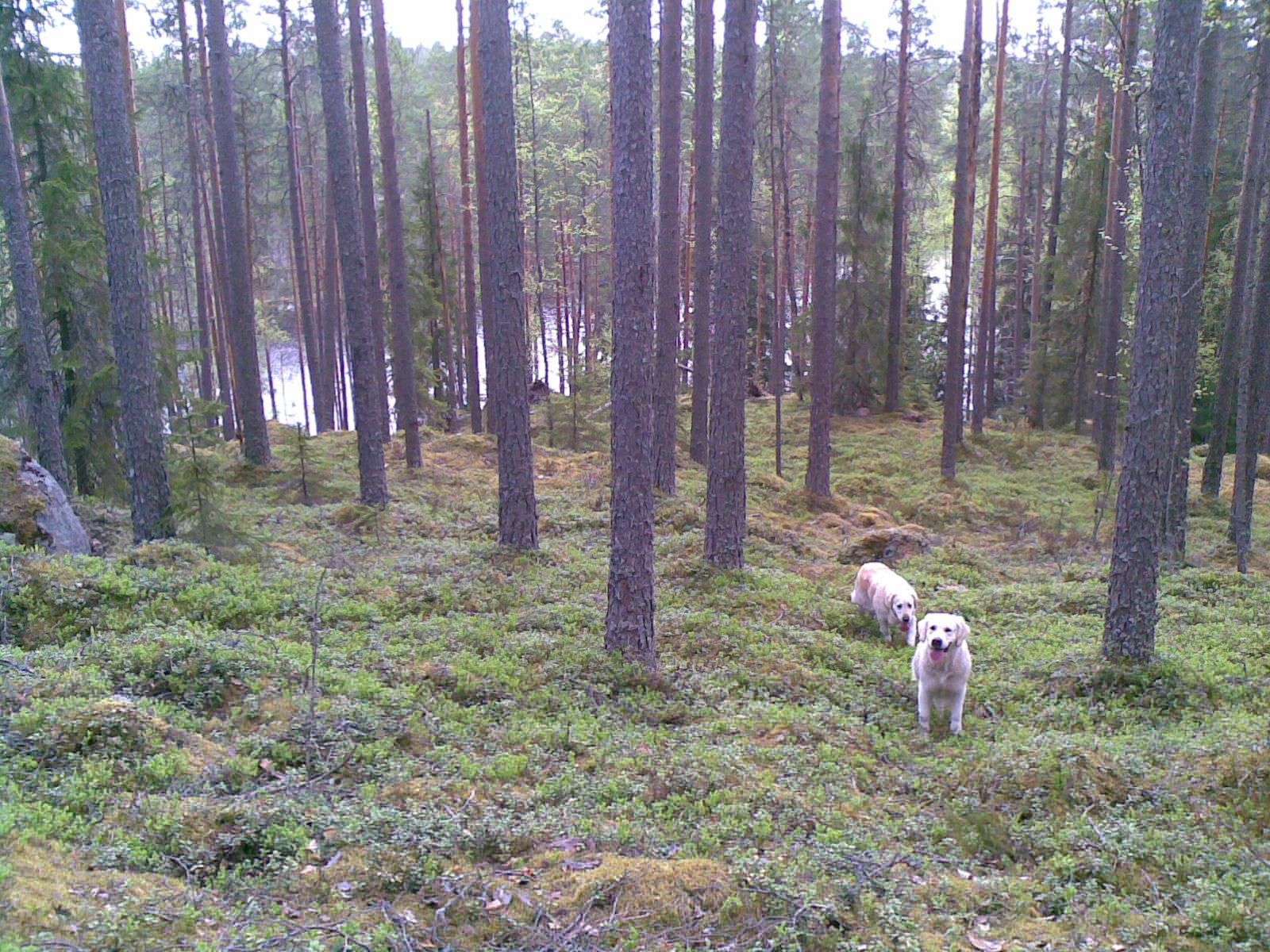
Happy dogs in a forest

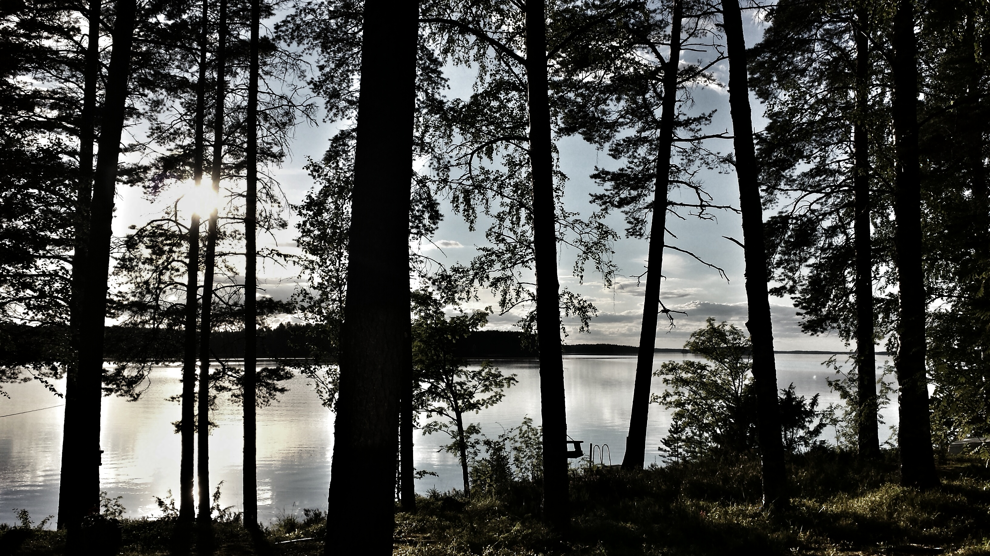
Sunset in Ähtäri
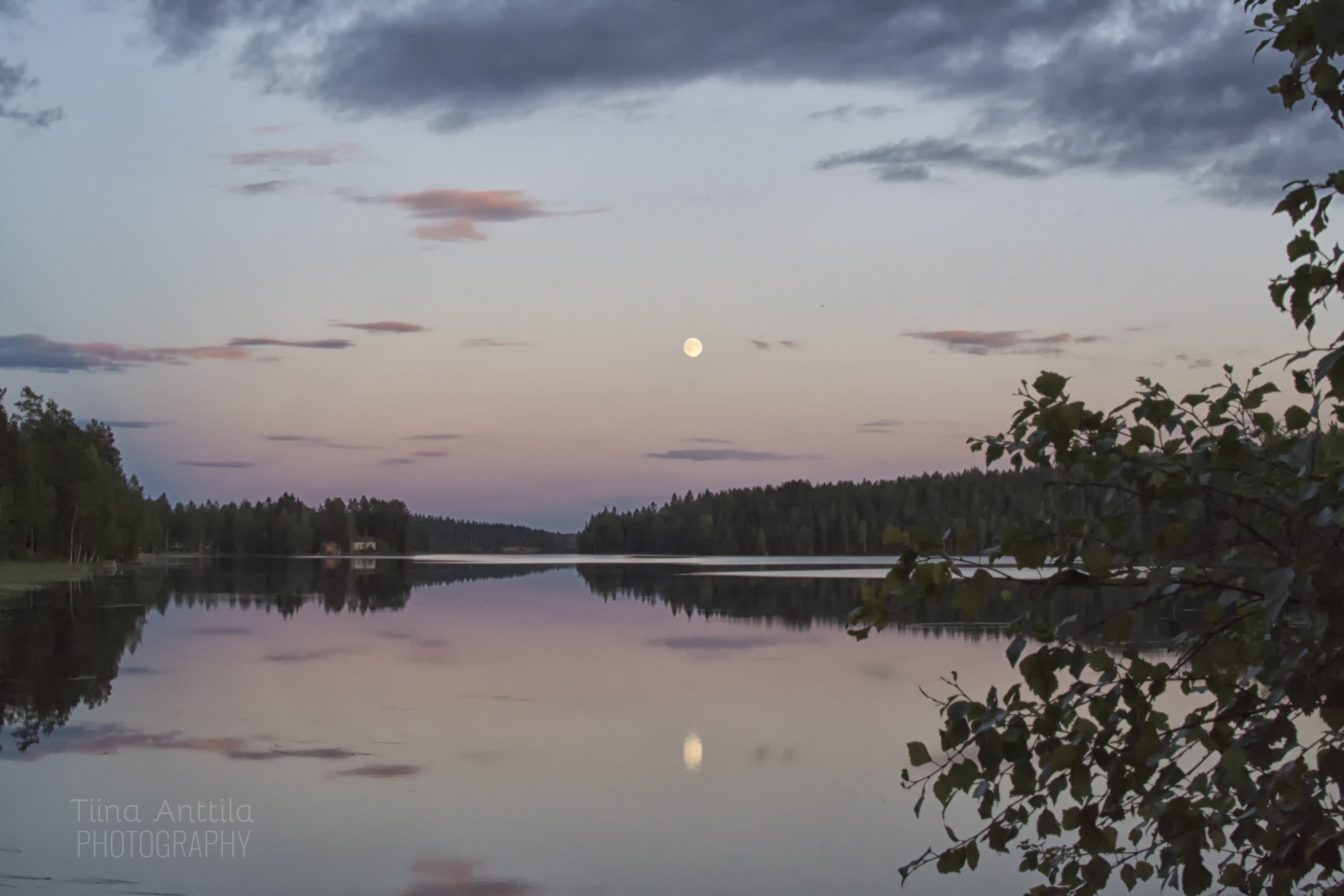
Full moon
20141003-105508

An old boat house
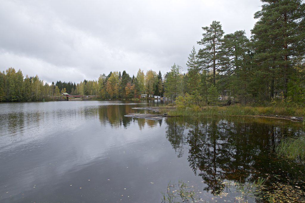
Mörskänlahti bay

A moose family

White-tailed Deer
20150804_202906-01

20150804_113700-01
Topographic Map of Ähtäri, Finland
Find elevation by address:

Places in Ähtäri, Finland:
Places near Ähtäri, Finland:
Valkeajärvenraitti 7, Keuruu, Finland
Valkeajärventie, Keuruu, Finland
Soini
Kaakkomäentie, Keuruu, Finland
Karstulantie 3, Soini, Finland
Luosantie, Ähtäri, Finland
Lehtimäki
Möksyntie, Soini, Finland
Keuruu
Vehkaperäntie, Kyyjärvi, Finland
Myllymäentie, Saarijärvi, Finland
Alastalontie 14, Ruovesi, Finland
Kyyjärvi
Ruovesi
Mäntyniementie 46, Kyyjärvi, Finland
Väärinmajantie, Ruovesi, Finland
Ruhalantie, Ruovesi, Finland
Karstula
Pakantie 39, Ruovesi, Finland
Karstula
Recent Searches:
- Elevation of Corso Fratelli Cairoli, 35, Macerata MC, Italy
- Elevation of Tallevast Rd, Sarasota, FL, USA
- Elevation of 4th St E, Sonoma, CA, USA
- Elevation of Black Hollow Rd, Pennsdale, PA, USA
- Elevation of Oakland Ave, Williamsport, PA, USA
- Elevation of Pedrógão Grande, Portugal
- Elevation of Klee Dr, Martinsburg, WV, USA
- Elevation of Via Roma, Pieranica CR, Italy
- Elevation of Tavkvetili Mountain, Georgia
- Elevation of Hartfords Bluff Cir, Mt Pleasant, SC, USA