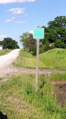
Elevation of Van Wert, IA, USA
Location: United States > Iowa > Decatur County > Long Creek >
Longitude: -93.792999
Latitude: 40.8697209
Elevation: 357m / 1171feet
Barometric Pressure: 97KPa
Related Photos:
Topographic Map of Van Wert, IA, USA
Find elevation by address:

Places in Van Wert, IA, USA:
Places near Van Wert, IA, USA:
E 1st St, Van Wert, IA, USA
10611 240th Ave
Long Creek
Decatur County
Doyle St, Osceola, IA, USA
Knox
Lacelle Rd, Osceola, IA, USA
th Ave, Osceola, IA, USA
Clarke County
Osceola, IA, USA
205th Avenue
1000 Jeffreys Dr
1071 Harken Hills Dr
S Main St, Osceola, IA, USA
Osceola
Ward
Osceola
Franklin
5th St, Murray, IA, USA
Murray
Recent Searches:
- Elevation of Corso Fratelli Cairoli, 35, Macerata MC, Italy
- Elevation of Tallevast Rd, Sarasota, FL, USA
- Elevation of 4th St E, Sonoma, CA, USA
- Elevation of Black Hollow Rd, Pennsdale, PA, USA
- Elevation of Oakland Ave, Williamsport, PA, USA
- Elevation of Pedrógão Grande, Portugal
- Elevation of Klee Dr, Martinsburg, WV, USA
- Elevation of Via Roma, Pieranica CR, Italy
- Elevation of Tavkvetili Mountain, Georgia
- Elevation of Hartfords Bluff Cir, Mt Pleasant, SC, USA


