Elevation of Murray, IA, USA
Location: United States > Iowa > Clarke County > Troy >
Longitude: -93.949324
Latitude: 41.0417646
Elevation: 372m / 1220feet
Barometric Pressure: 97KPa
Elevation Map:
Satellite Map:
Related Photos:

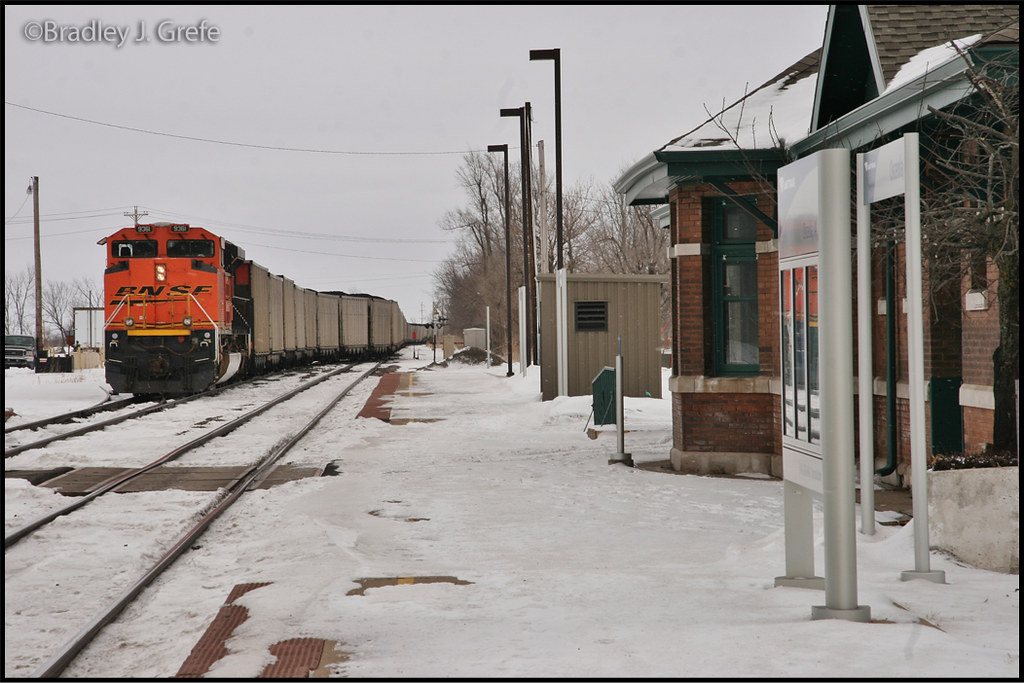
BNSF 5803
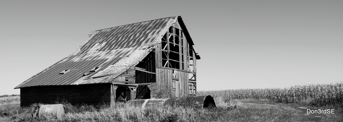
Lonely Barn
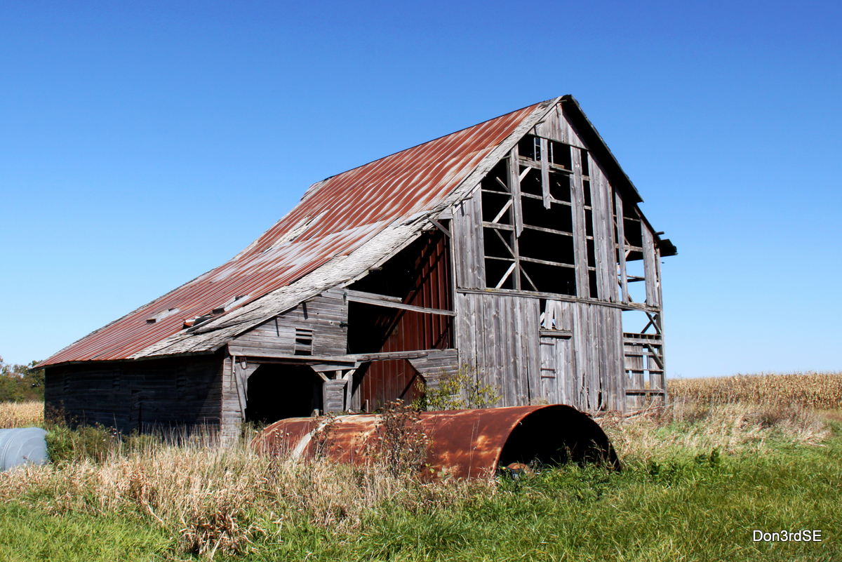
Lonely Barn - In Color
Osceola IA .. E3_20150202_143839_0847_v01
BNSF 9361 - Osceola, IA

BNSF 7820 - Talmage, IA
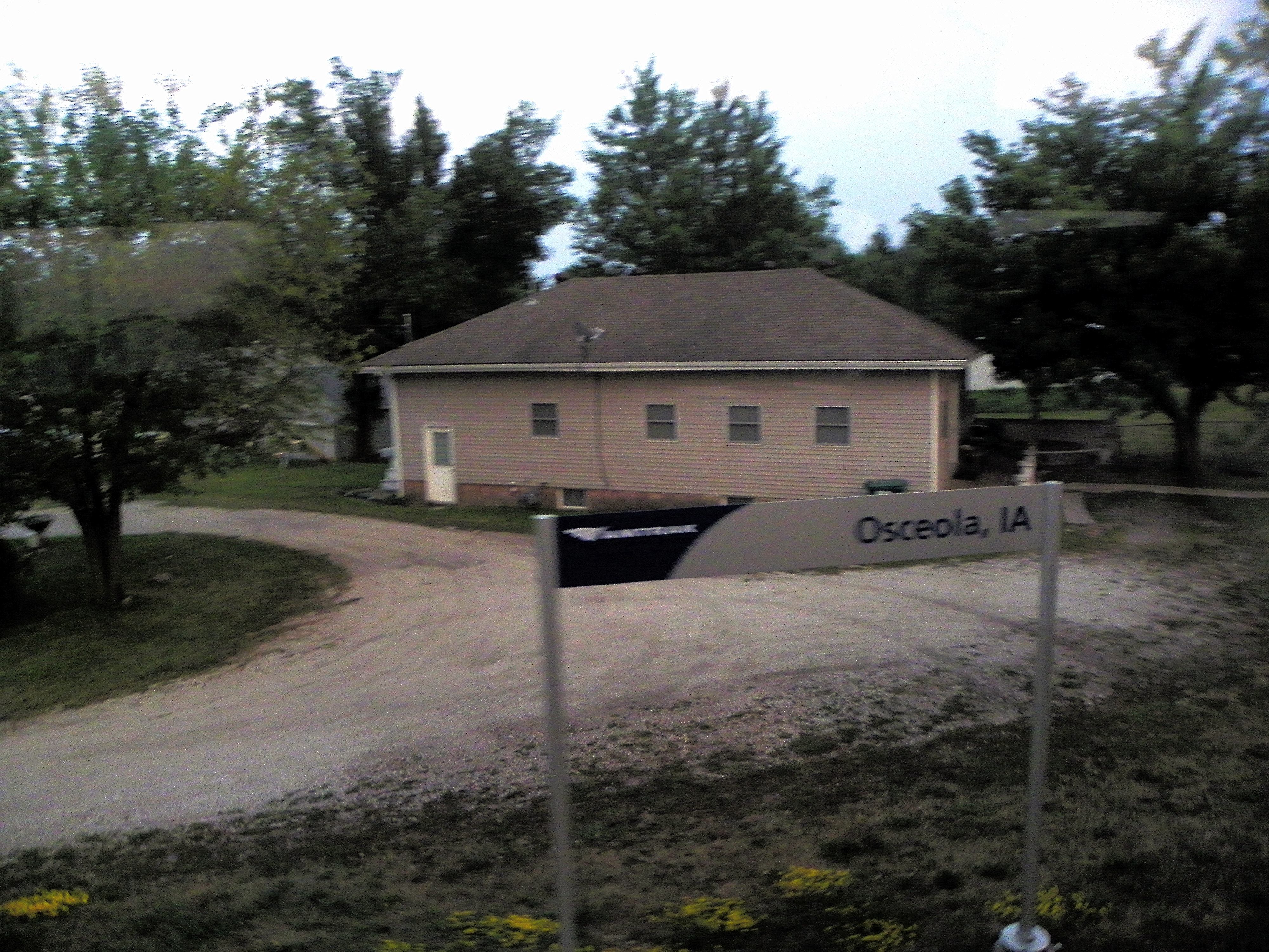
Osceola, Clark County, Iowa
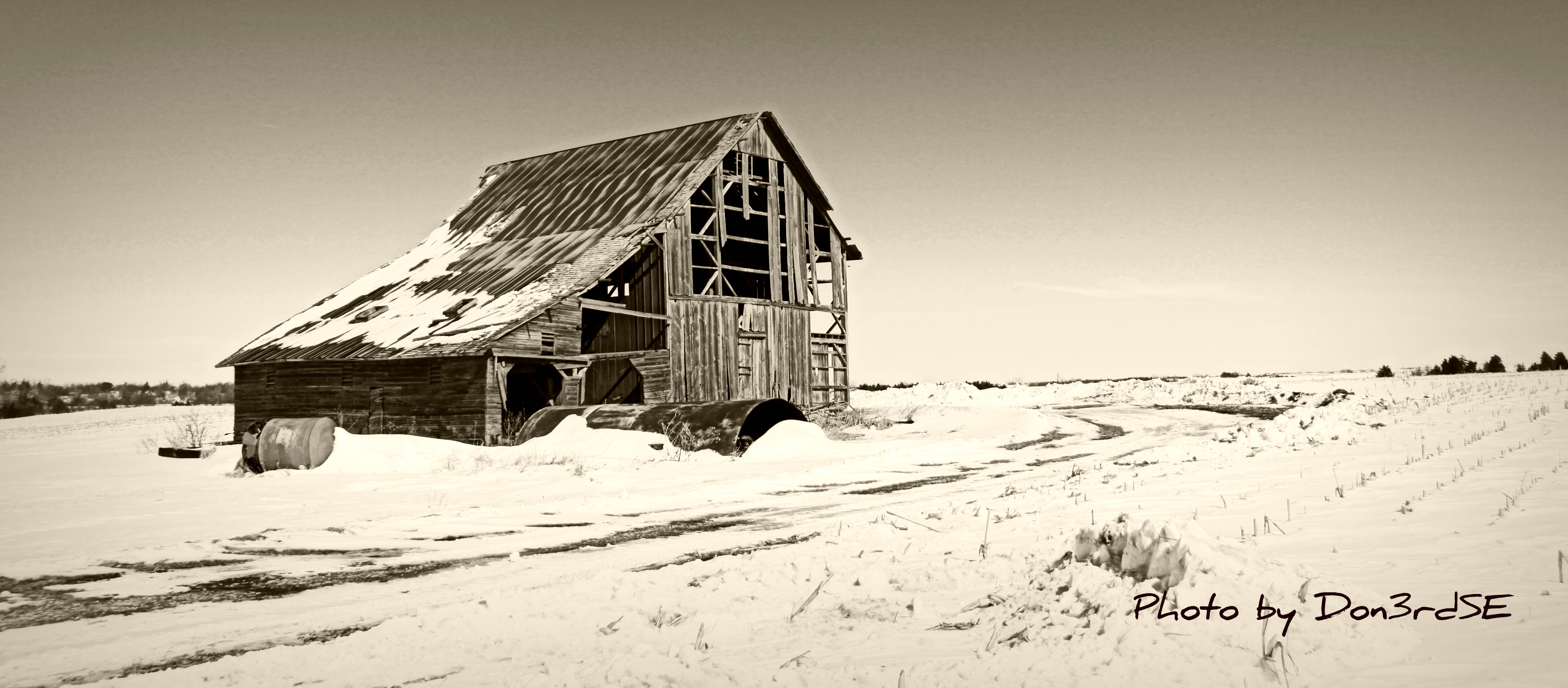
Sepia Barn - Murray, Iowa
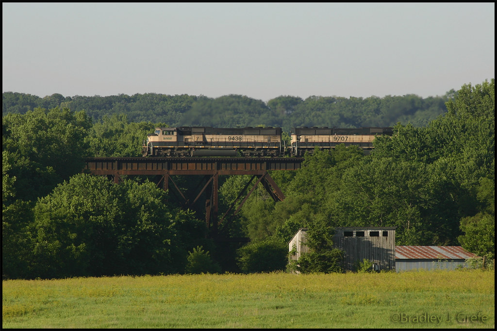
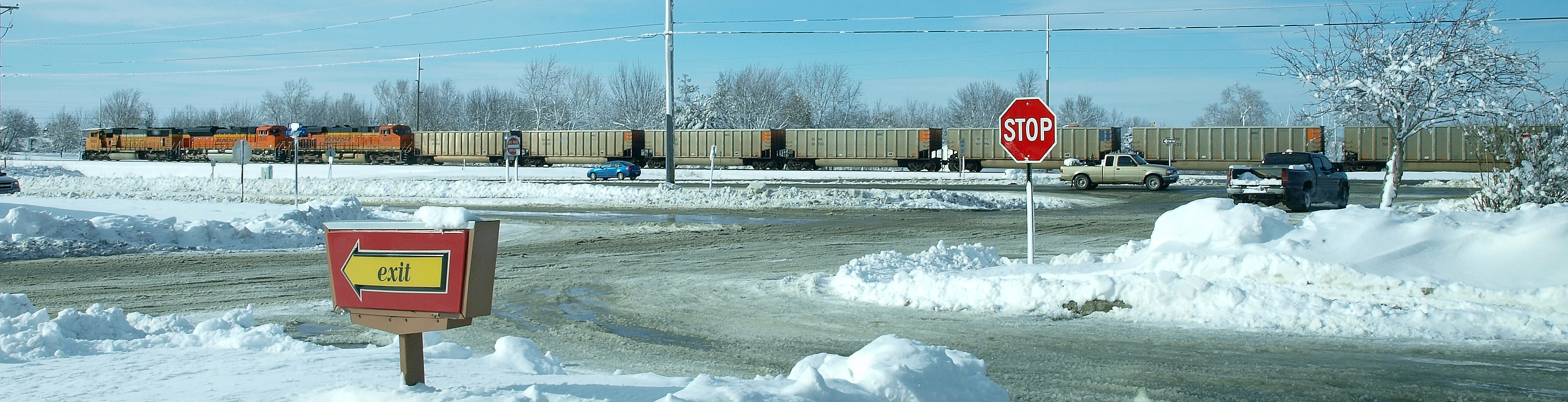
BNSF 9439 - Talmage Bridge
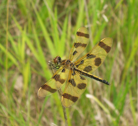
Halloween Pennant (Celithemis eponina)

Tawny-edged Skipper (Polites themistocles themistocles)
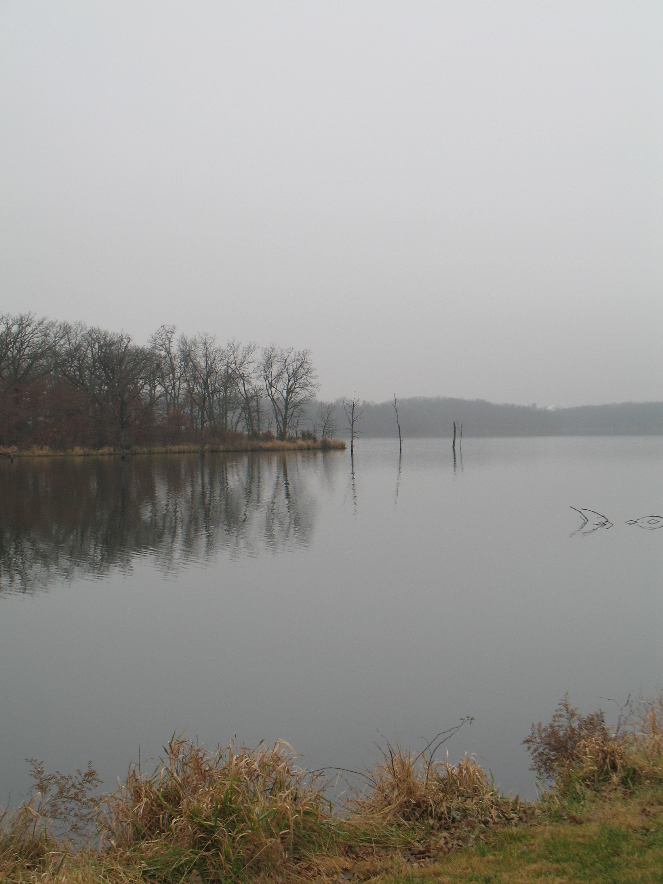
West Lake

2016:08:28 17:47:55 Flickr-035

2016:08:28 17:47:55 Flickr-036

Regal Fritillary (Speyeria idalia occidentalis)
Topographic Map of Murray, IA, USA
Find elevation by address:

Places in Murray, IA, USA:
Places near Murray, IA, USA:
5th St, Murray, IA, USA
Troy
Ward
Lacelle Rd, Osceola, IA, USA
1913 Orange St
205th Avenue
Knox
Walnut
Clarke County
Osceola, IA, USA
th Ave, Osceola, IA, USA
1000 Jeffreys Dr
Doyle St, Osceola, IA, USA
Osceola
S Main St, Osceola, IA, USA
Florence Ave, East Peru, IA, USA
East Peru
Long Creek
1071 Harken Hills Dr
Union
Recent Searches:
- Elevation of Corso Fratelli Cairoli, 35, Macerata MC, Italy
- Elevation of Tallevast Rd, Sarasota, FL, USA
- Elevation of 4th St E, Sonoma, CA, USA
- Elevation of Black Hollow Rd, Pennsdale, PA, USA
- Elevation of Oakland Ave, Williamsport, PA, USA
- Elevation of Pedrógão Grande, Portugal
- Elevation of Klee Dr, Martinsburg, WV, USA
- Elevation of Via Roma, Pieranica CR, Italy
- Elevation of Tavkvetili Mountain, Georgia
- Elevation of Hartfords Bluff Cir, Mt Pleasant, SC, USA