Elevation of Decatur County, IA, USA
Location: United States > Iowa >
Longitude: -93.824824
Latitude: 40.8146492
Elevation: 338m / 1109feet
Barometric Pressure: 97KPa
Elevation Map:
Satellite Map:
Related Photos:

RAGBRAI 2016

RAGBRAI 2016

RAGBRAI 2016

Iowa, Leon, Telephone Building
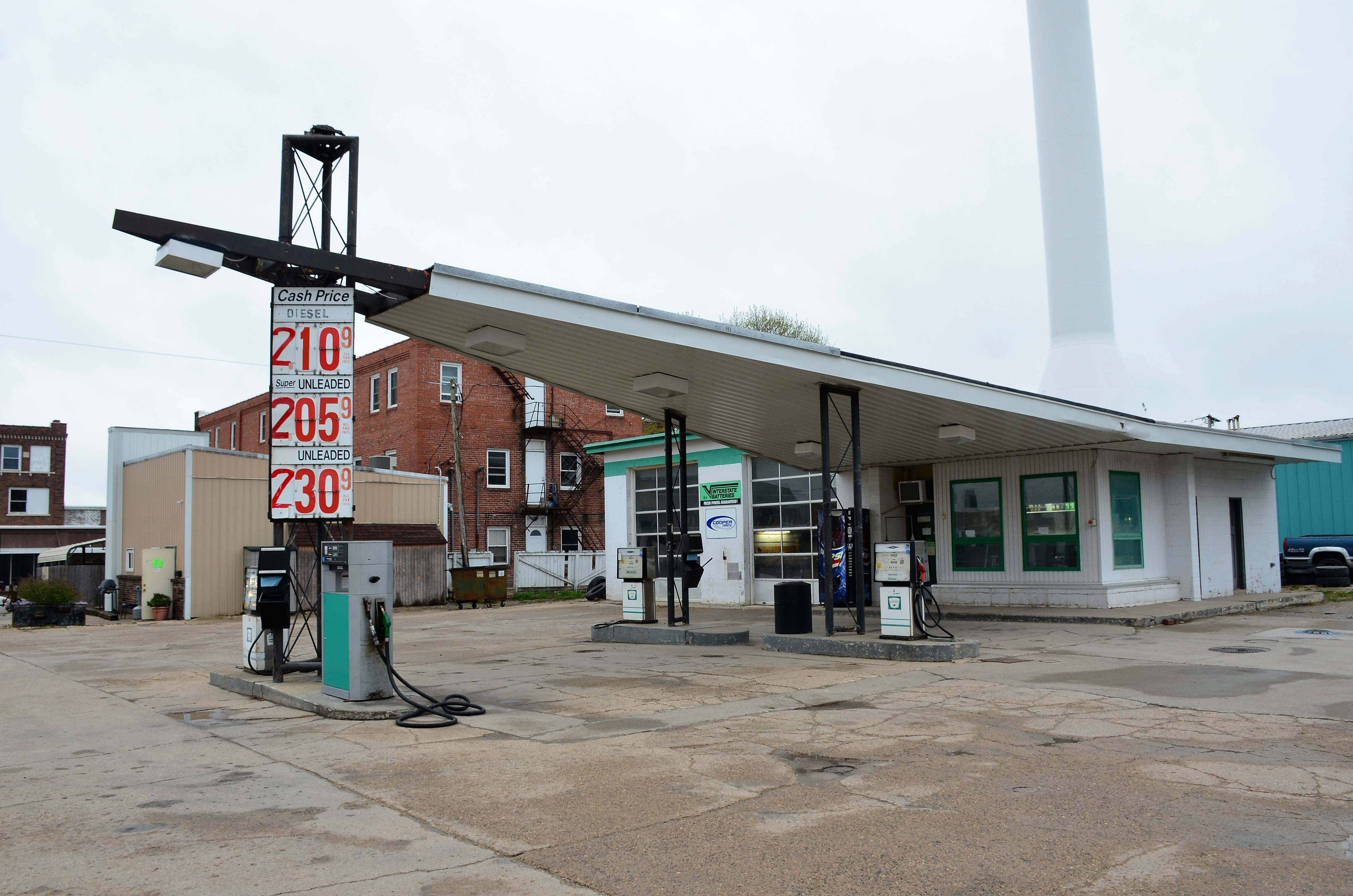
Iowa, Leon, (former) Phillips 66 Gas Station

RAGBRAI 2016

RAGBRAI 2016

RAGBRAI 2016
White Motor Company truck at sundown
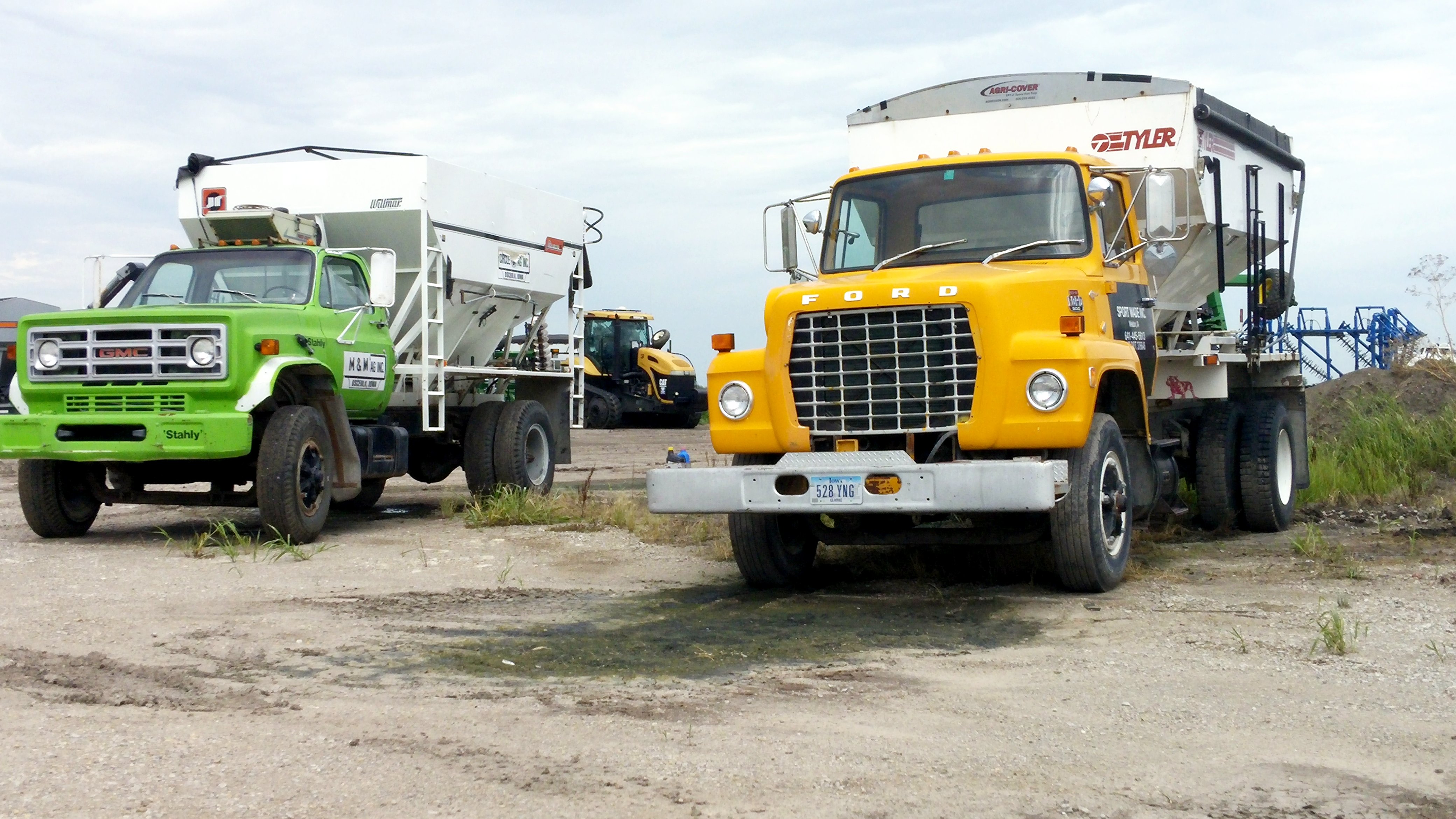
GMC and Ford Feed Truck

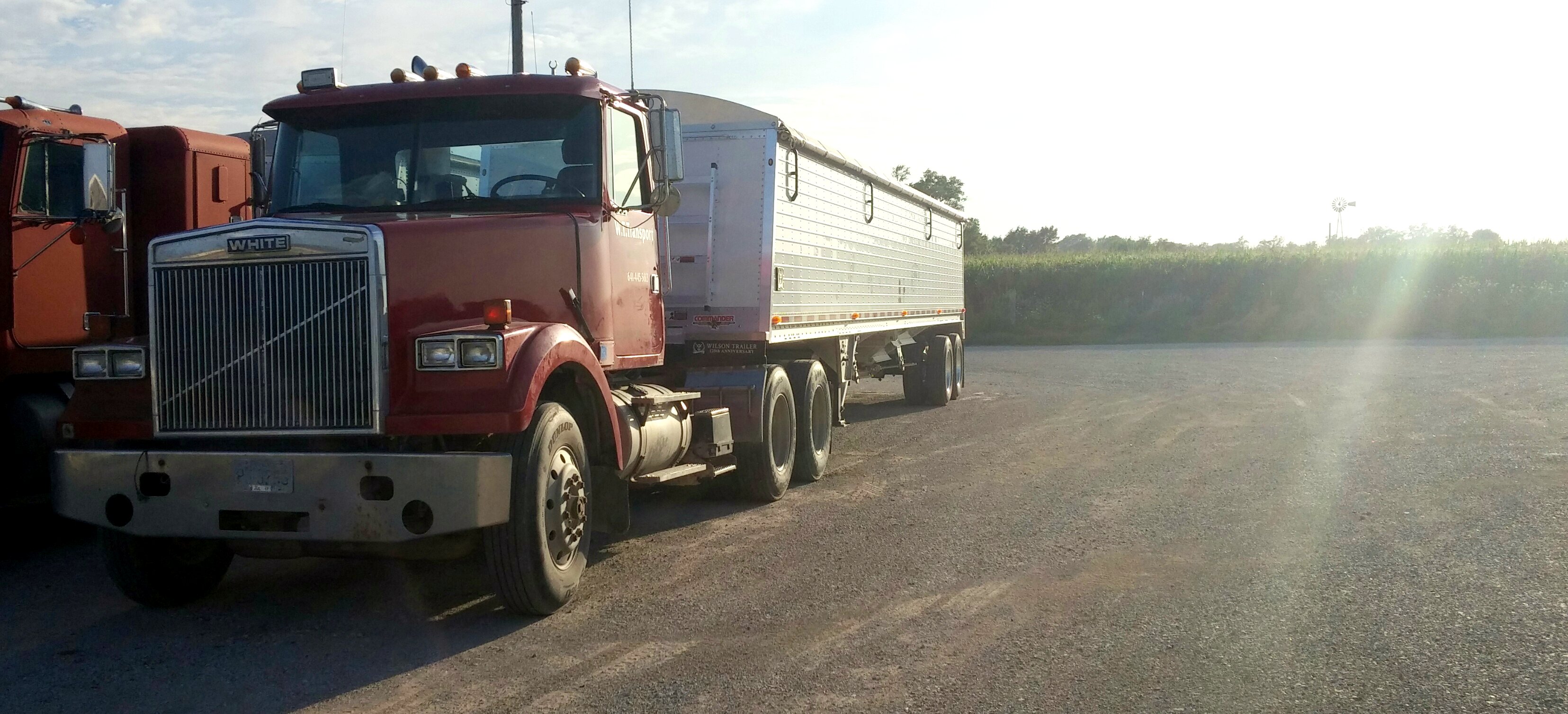
White Motor Company (red) truck
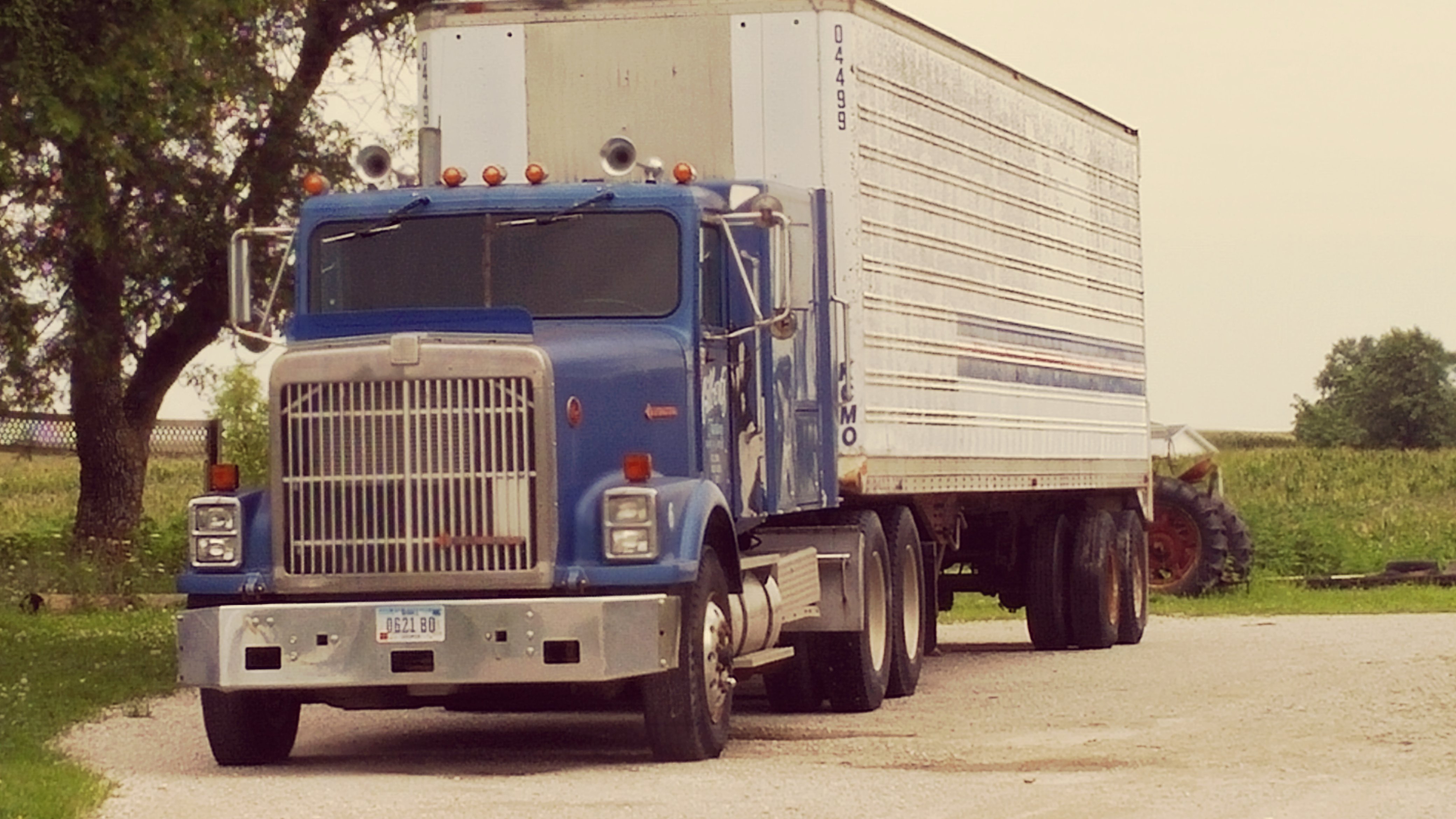
Blue International truck
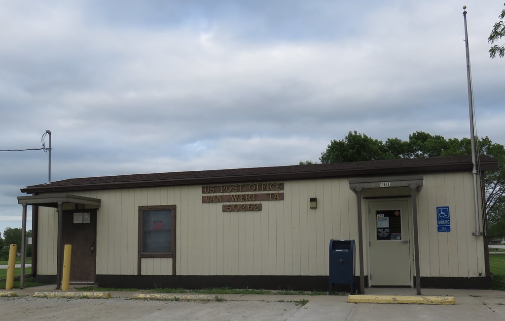
Post Office 50262 (Van Wert, Iowa)

Muddied Tahoe by the pond
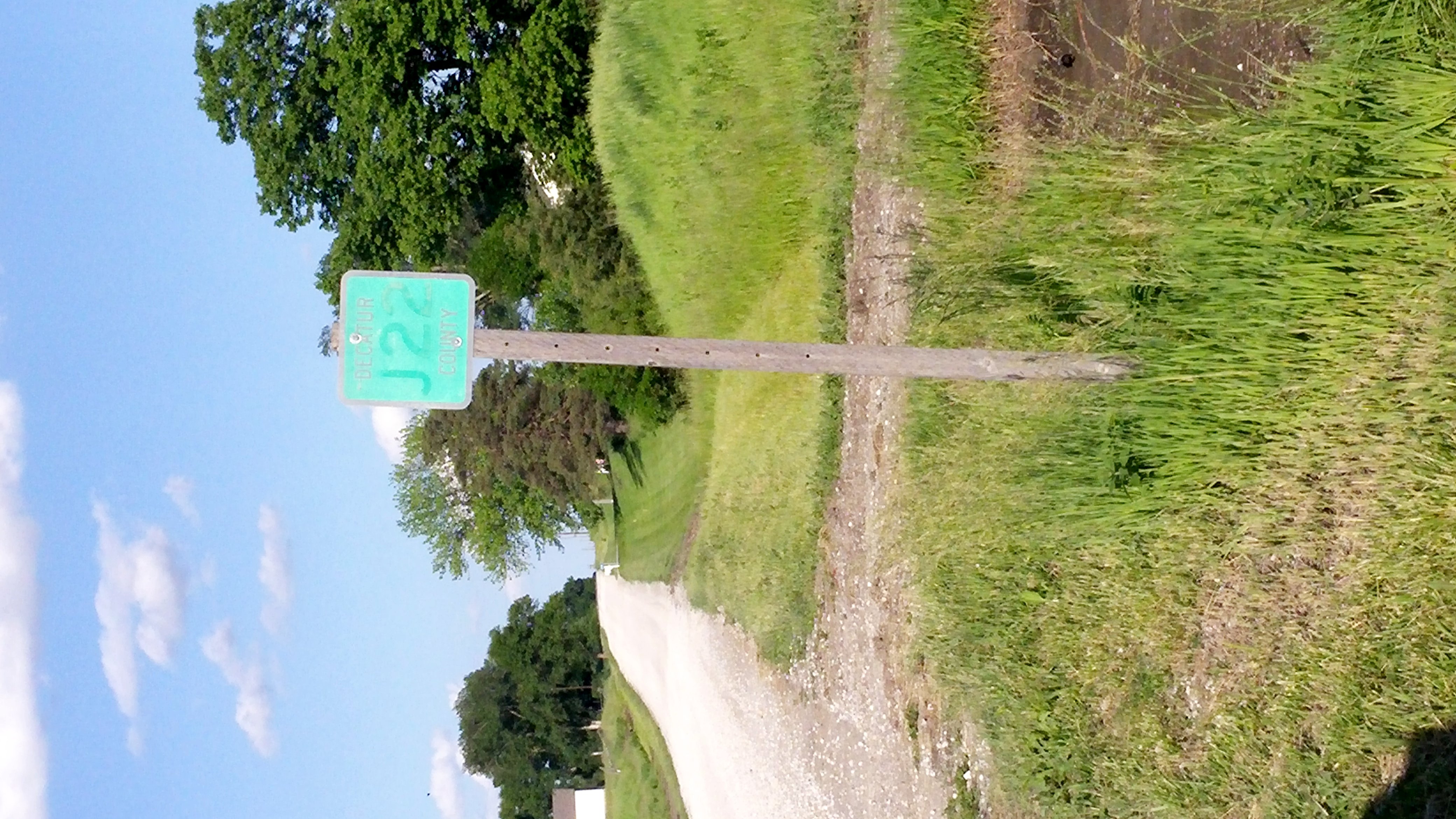
J22 Decatur County road

Lamoni Police Chevrolet Tahoe
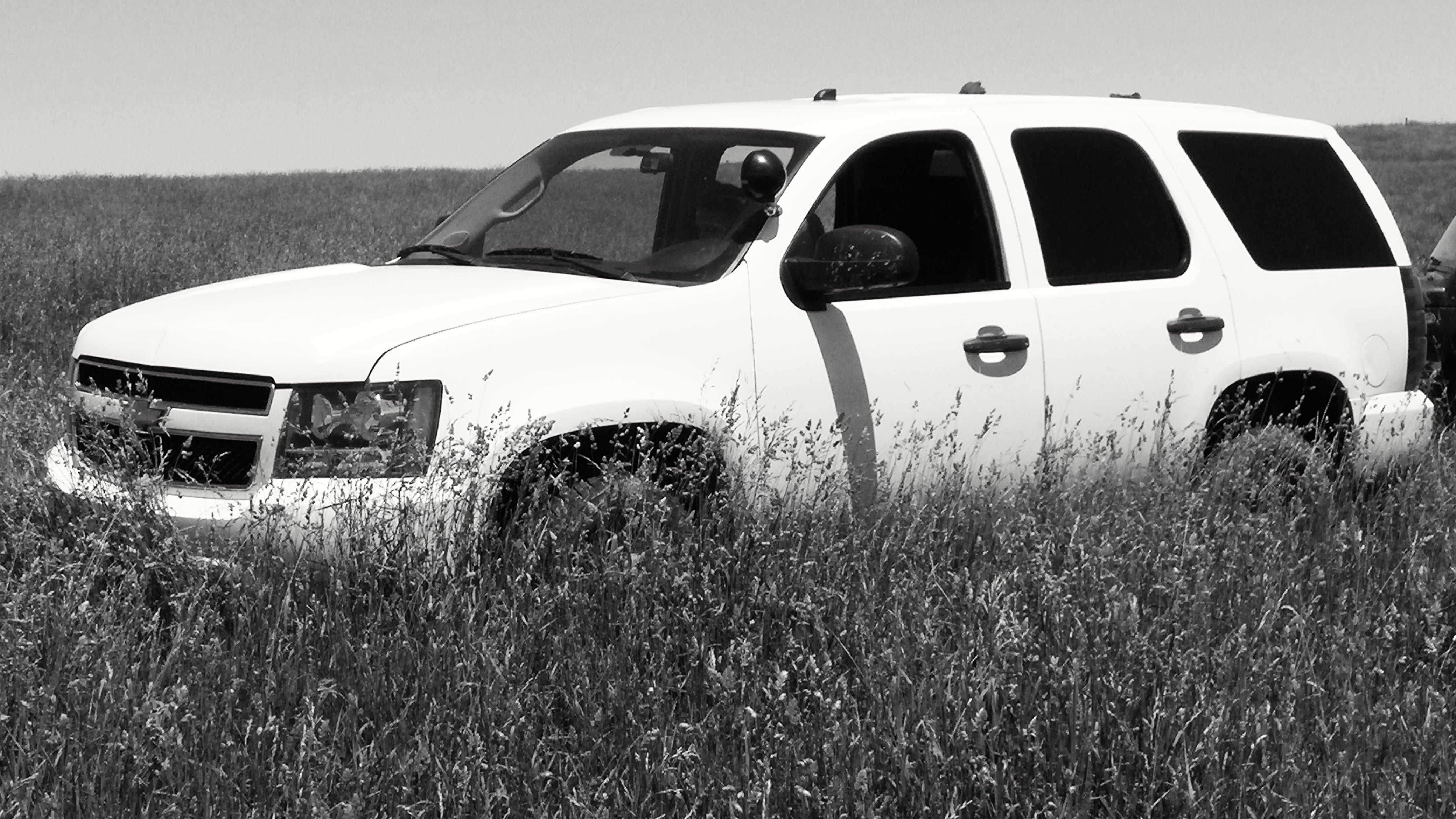
Tahoe in the long grass

2009 Jeep Wrangler X and 2010 Chevrolet Tahoe SSV

Ford F700 Dump truck

Abandoned Jeep
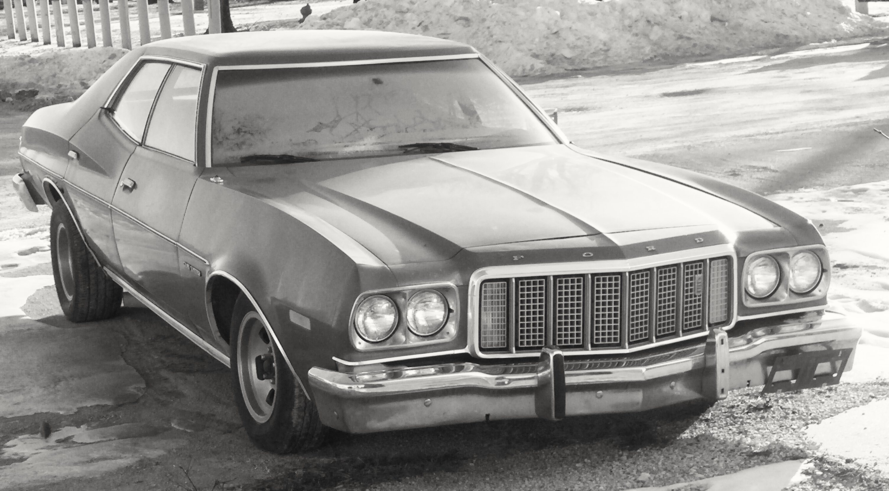
Ford Gran Torino
Topographic Map of Decatur County, IA, USA
Find elevation by address:

Places in Decatur County, IA, USA:
Places near Decatur County, IA, USA:
E 1st St, Van Wert, IA, USA
Long Creek
Van Wert
10611 240th Ave
Doyle St, Osceola, IA, USA
Knox
Lacelle Rd, Osceola, IA, USA
th Ave, Osceola, IA, USA
Clarke County
Osceola, IA, USA
205th Avenue
1000 Jeffreys Dr
Ward
1071 Harken Hills Dr
S Main St, Osceola, IA, USA
Osceola
Franklin
Osceola
5th St, Murray, IA, USA
Murray
Recent Searches:
- Elevation of Corso Fratelli Cairoli, 35, Macerata MC, Italy
- Elevation of Tallevast Rd, Sarasota, FL, USA
- Elevation of 4th St E, Sonoma, CA, USA
- Elevation of Black Hollow Rd, Pennsdale, PA, USA
- Elevation of Oakland Ave, Williamsport, PA, USA
- Elevation of Pedrógão Grande, Portugal
- Elevation of Klee Dr, Martinsburg, WV, USA
- Elevation of Via Roma, Pieranica CR, Italy
- Elevation of Tavkvetili Mountain, Georgia
- Elevation of Hartfords Bluff Cir, Mt Pleasant, SC, USA