Elevation of Valley Ridge Rd, Gaston, SC, USA
Location: United States > South Carolina > Lexington County > Gaston >
Longitude: -81.010436
Latitude: 33.8023568
Elevation: 99m / 325feet
Barometric Pressure: 100KPa
Elevation Map:
Satellite Map:
Related Photos:

Stretching Towards the Light

creek view
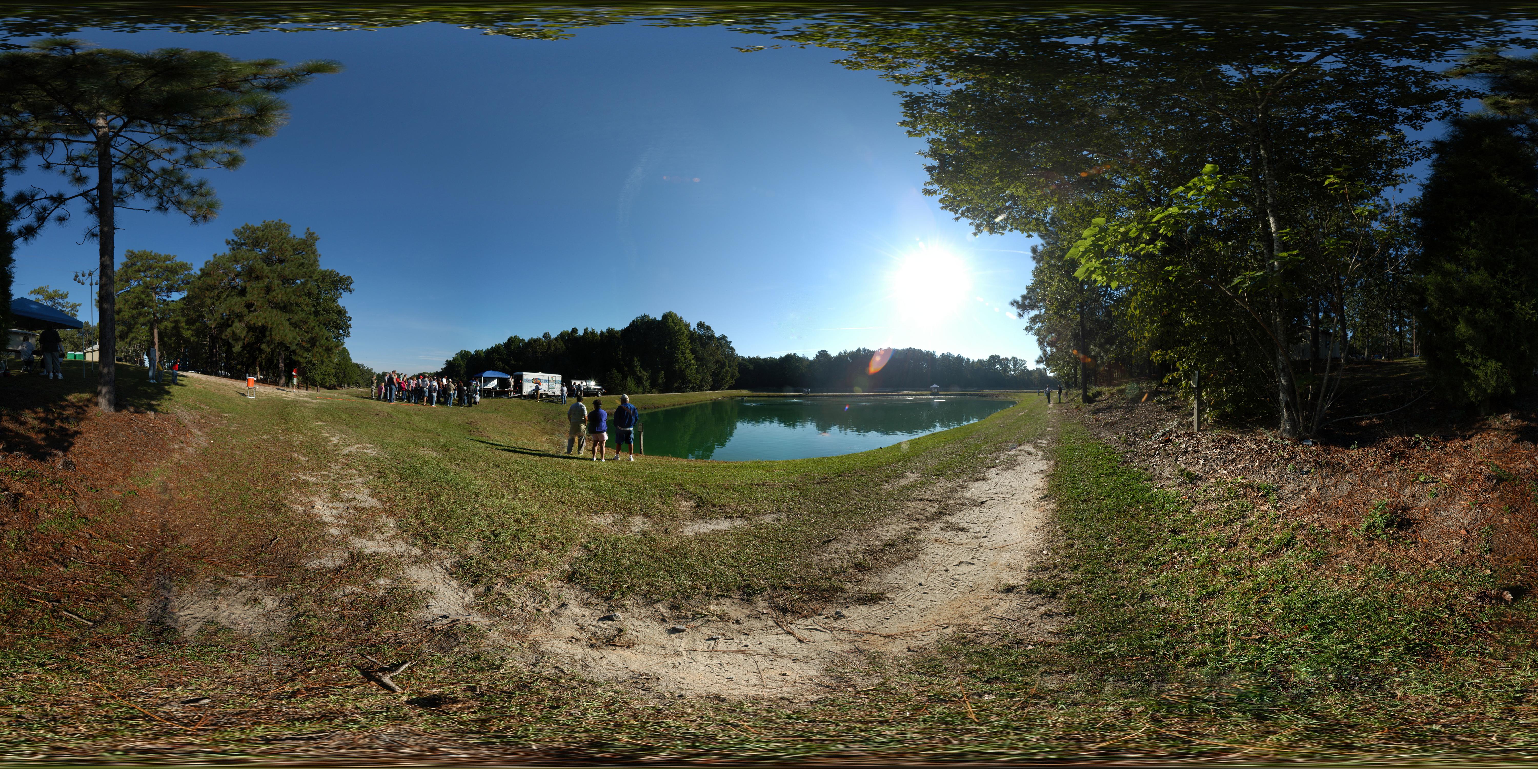
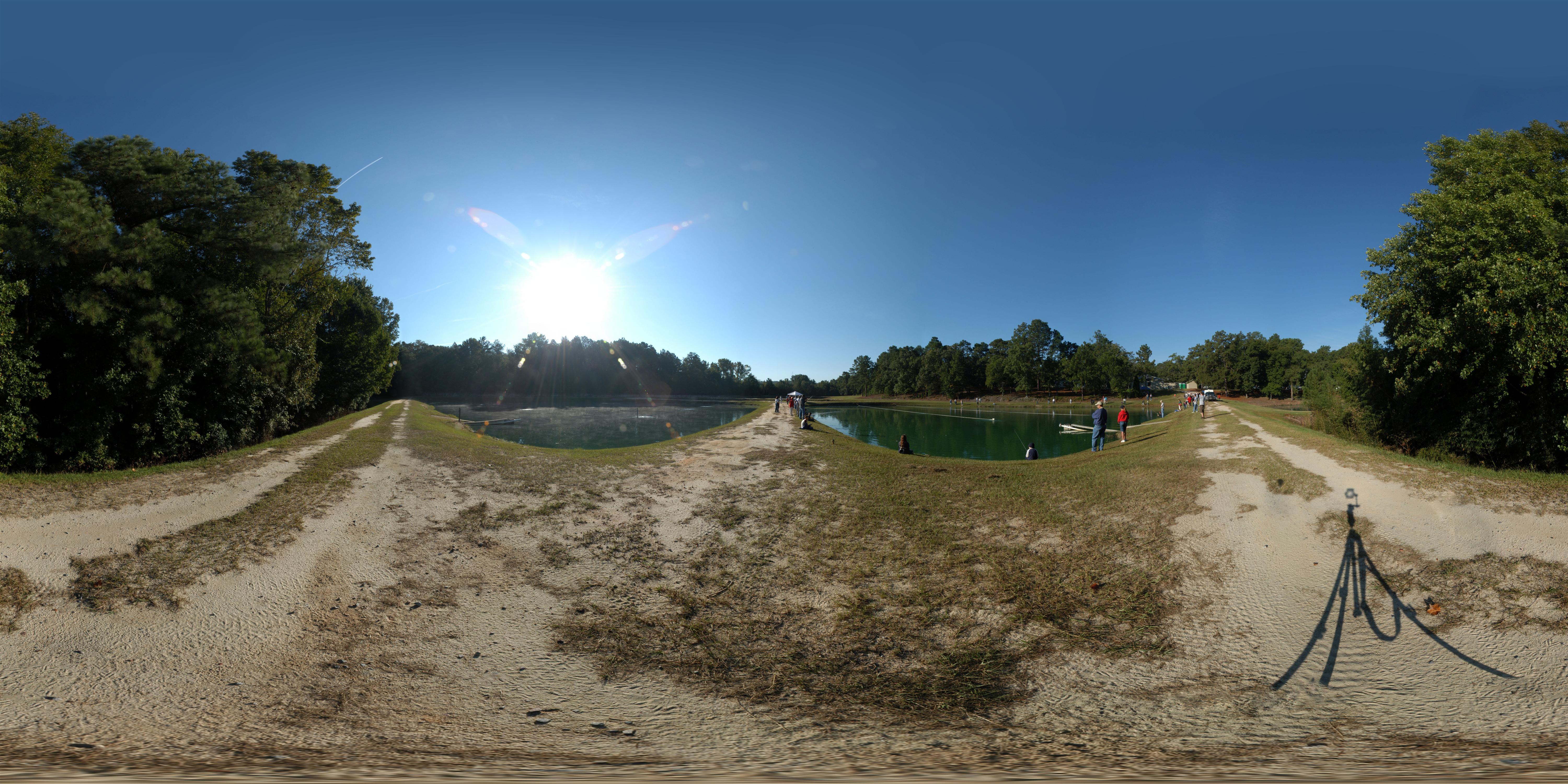
Cohen Campbell Fish Hatchery
on the Congaree
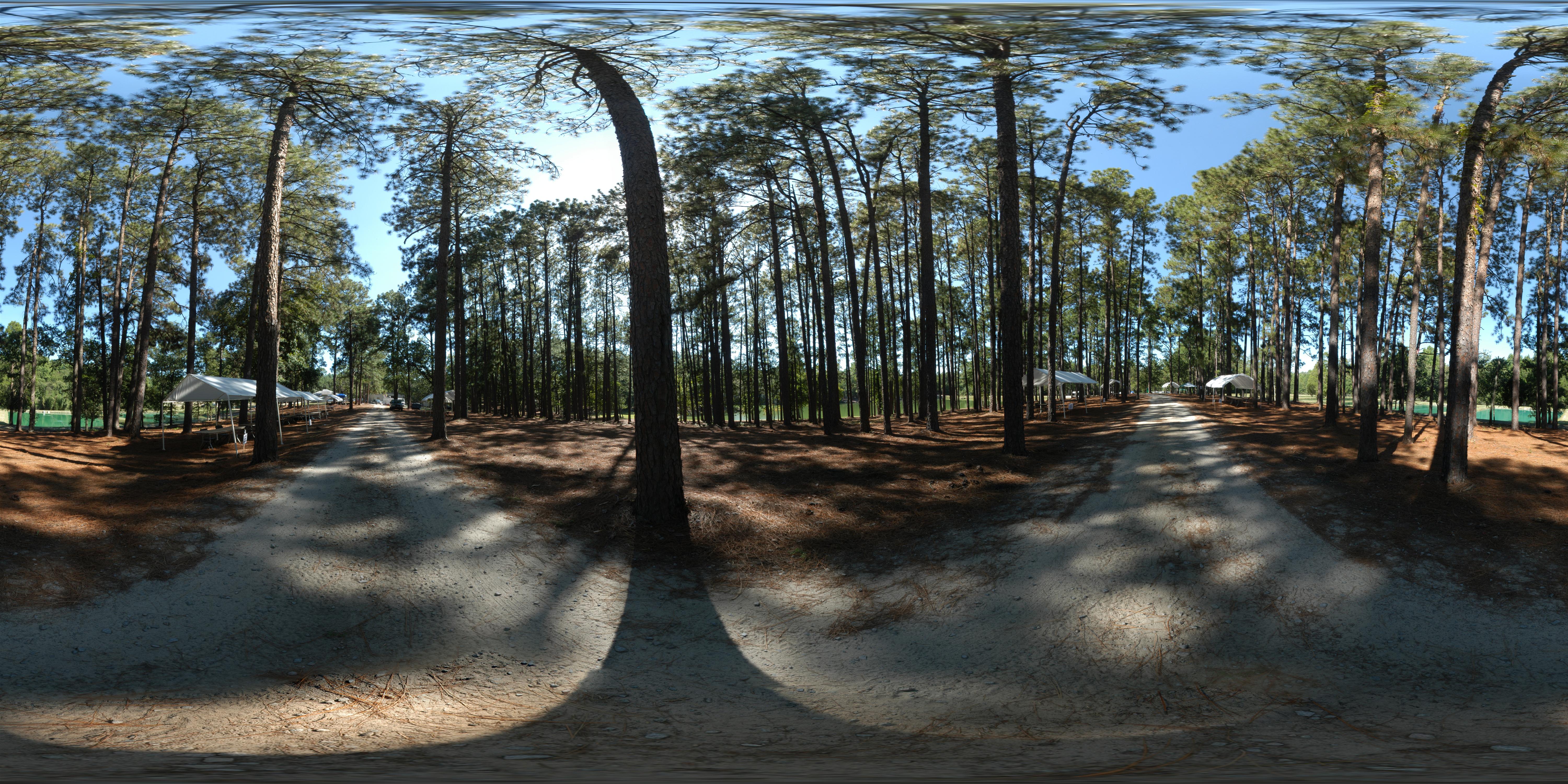
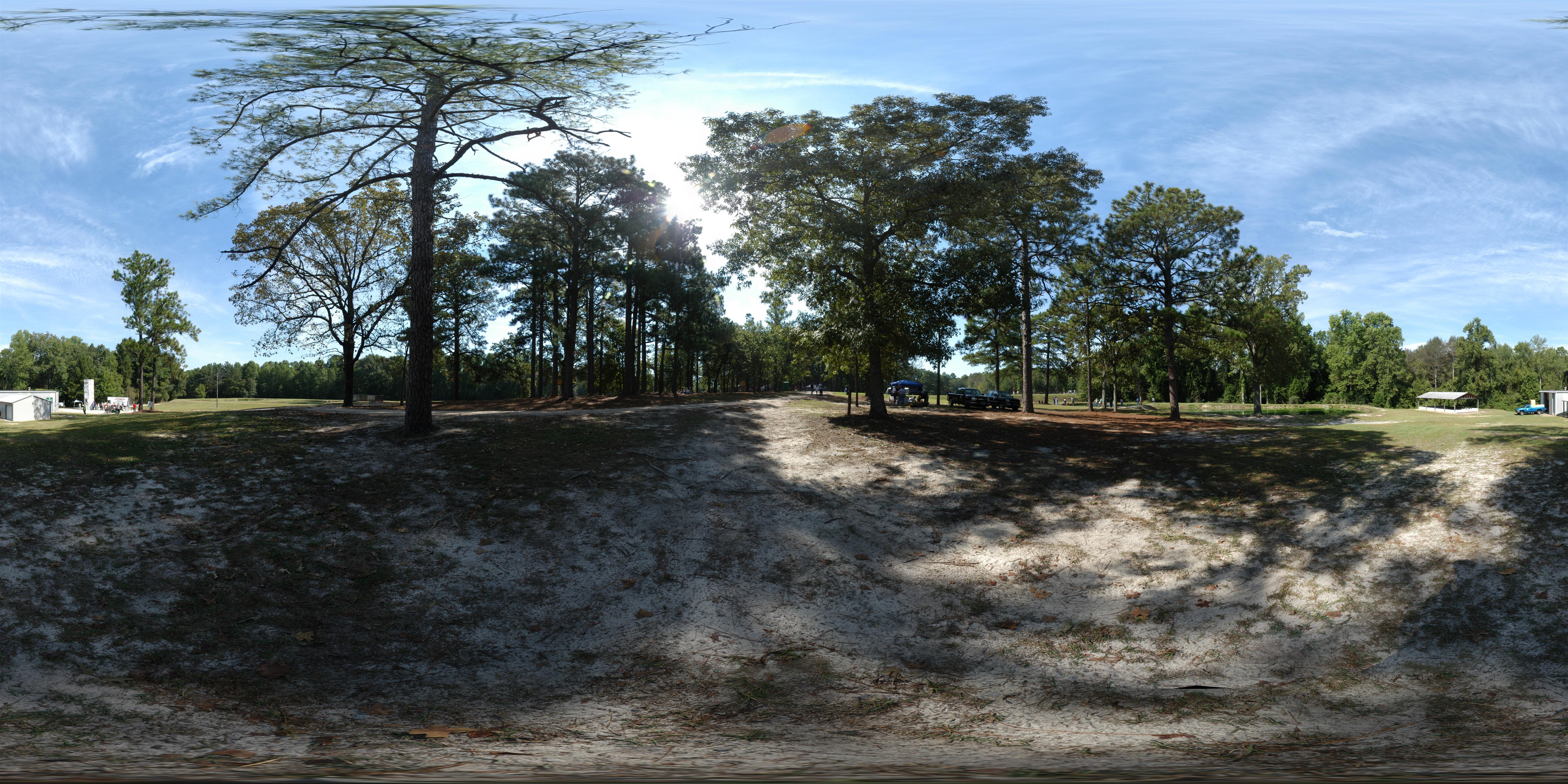
180 x 360 Panorama - Outdoor Family Adventure Day
180 x 360 Panorama - Outdoor Family Adventure Day

Cohen Campbell Fish Hatchery
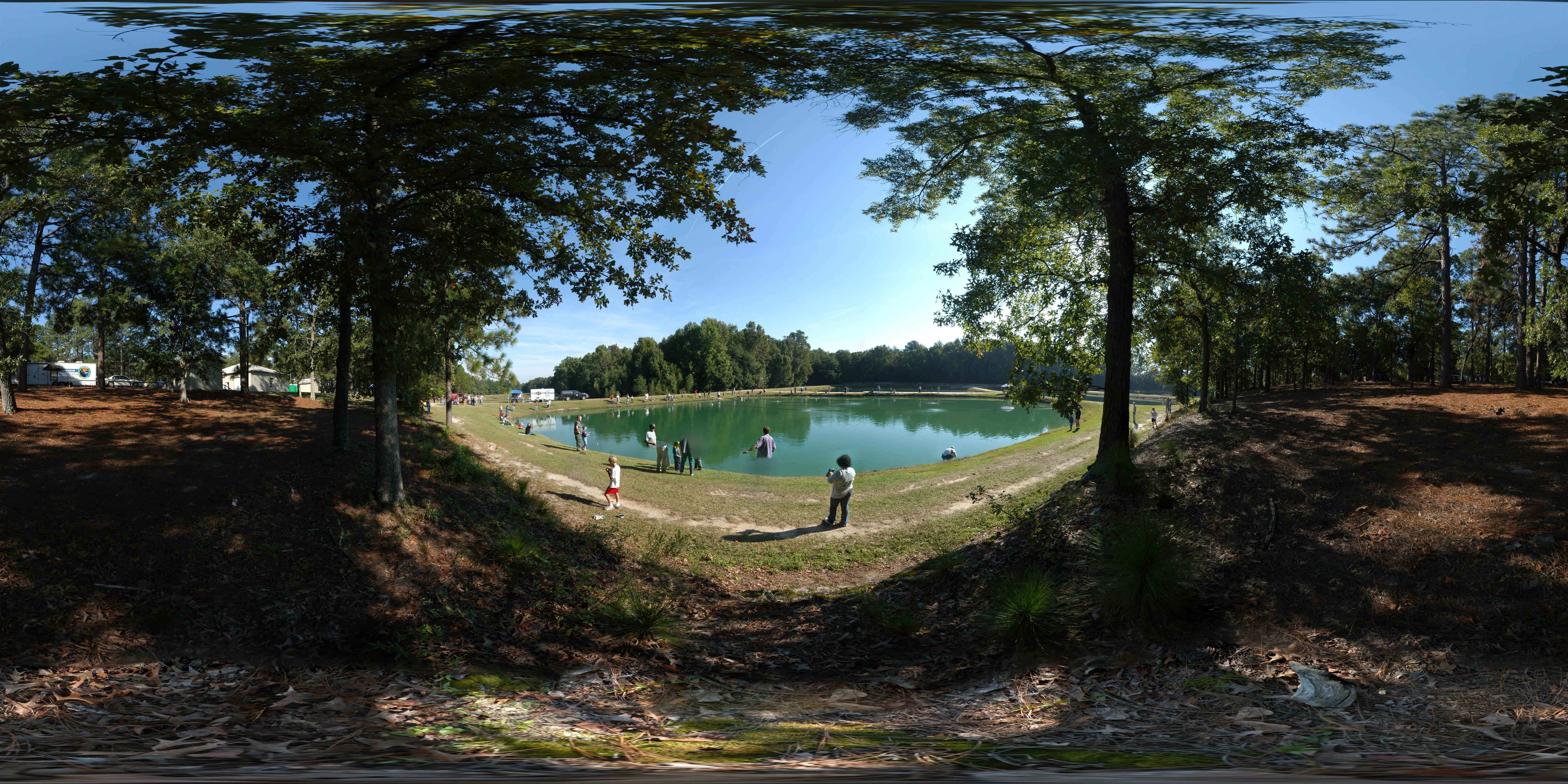
Outdoor Family Adventure Day

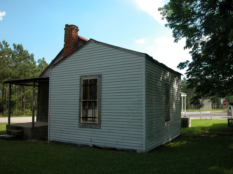
Cohen Campbell Fish House
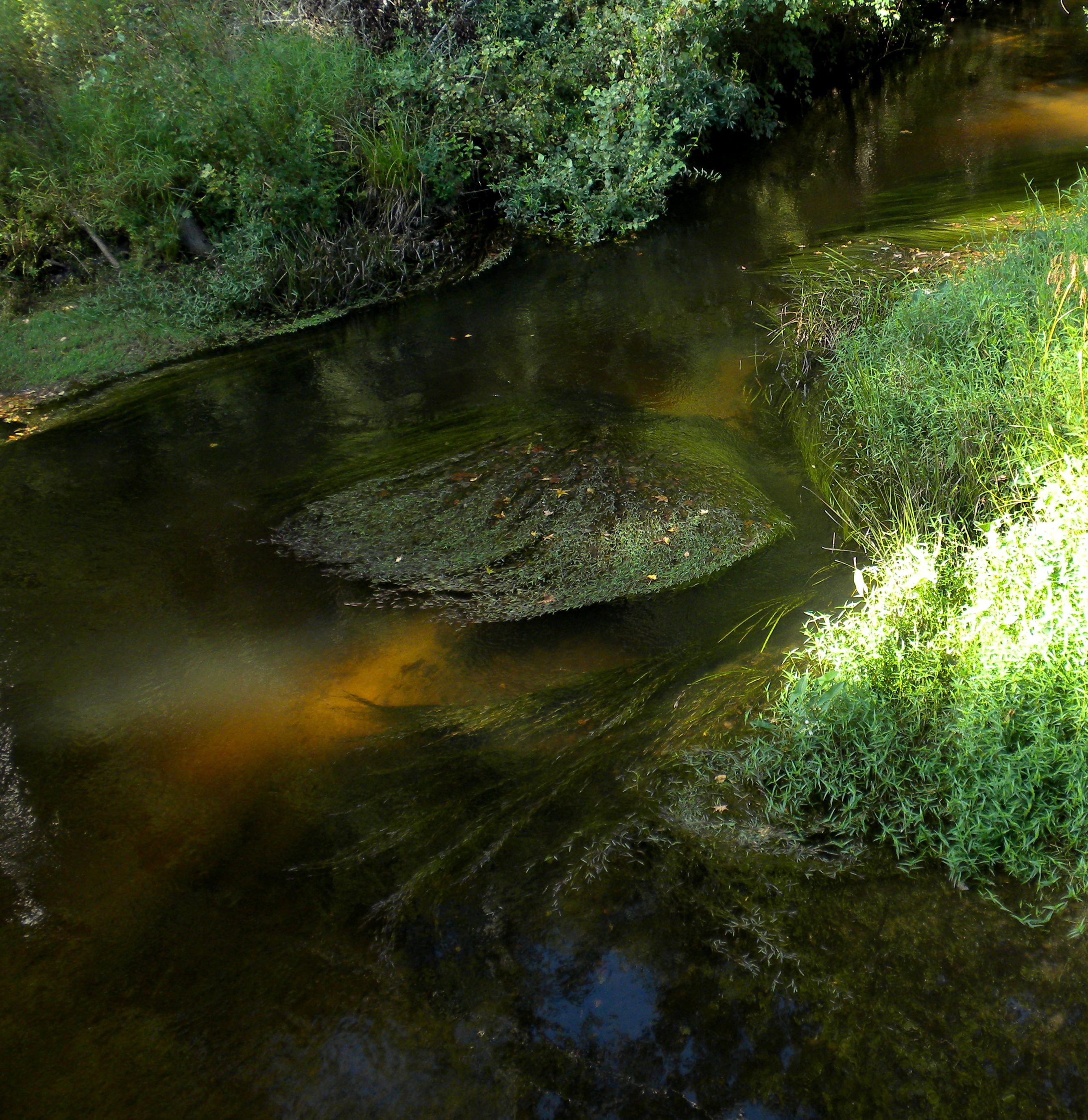
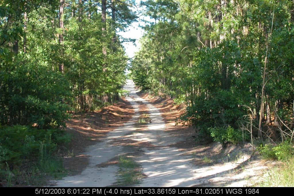
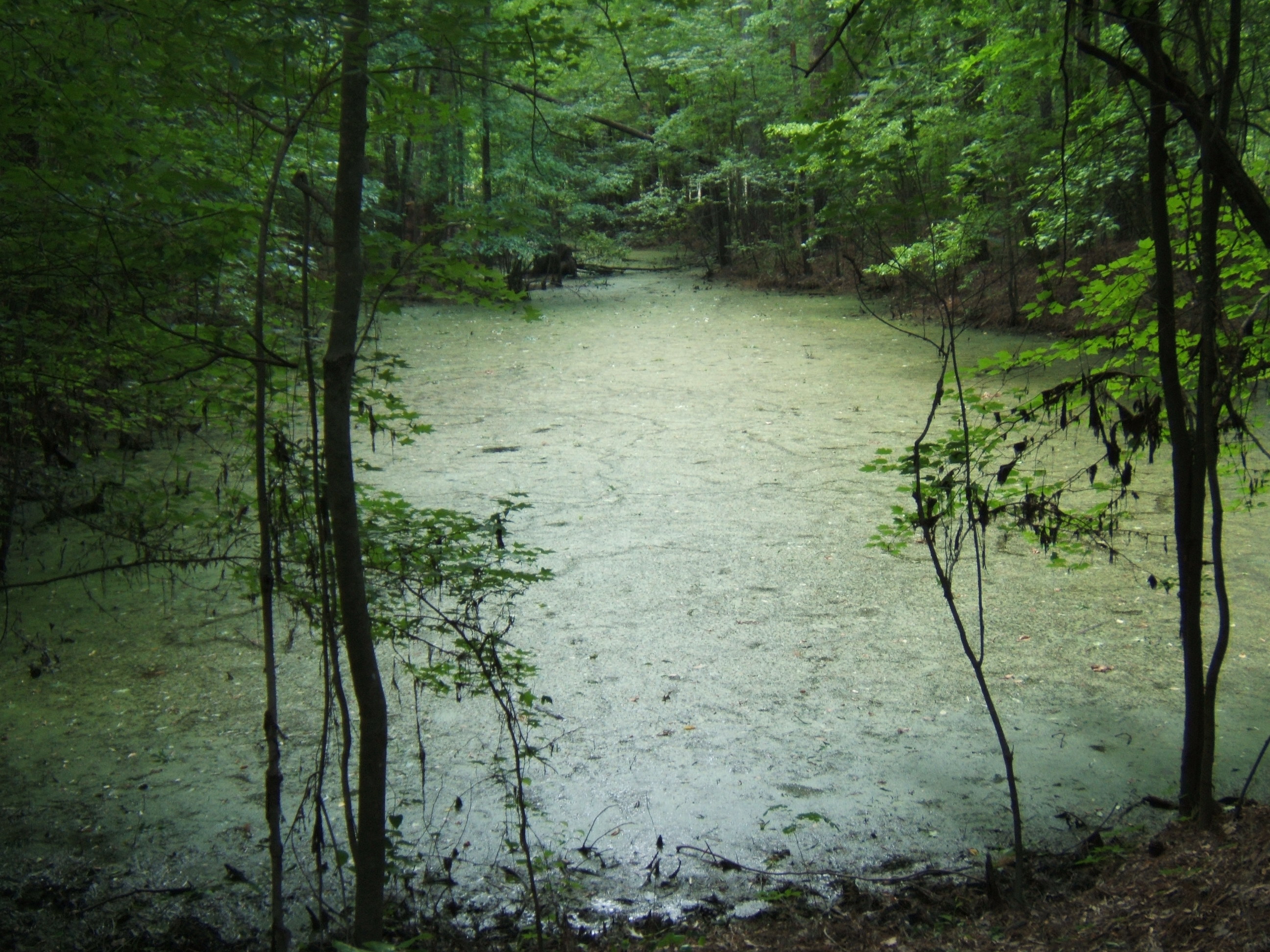
blackwater creek
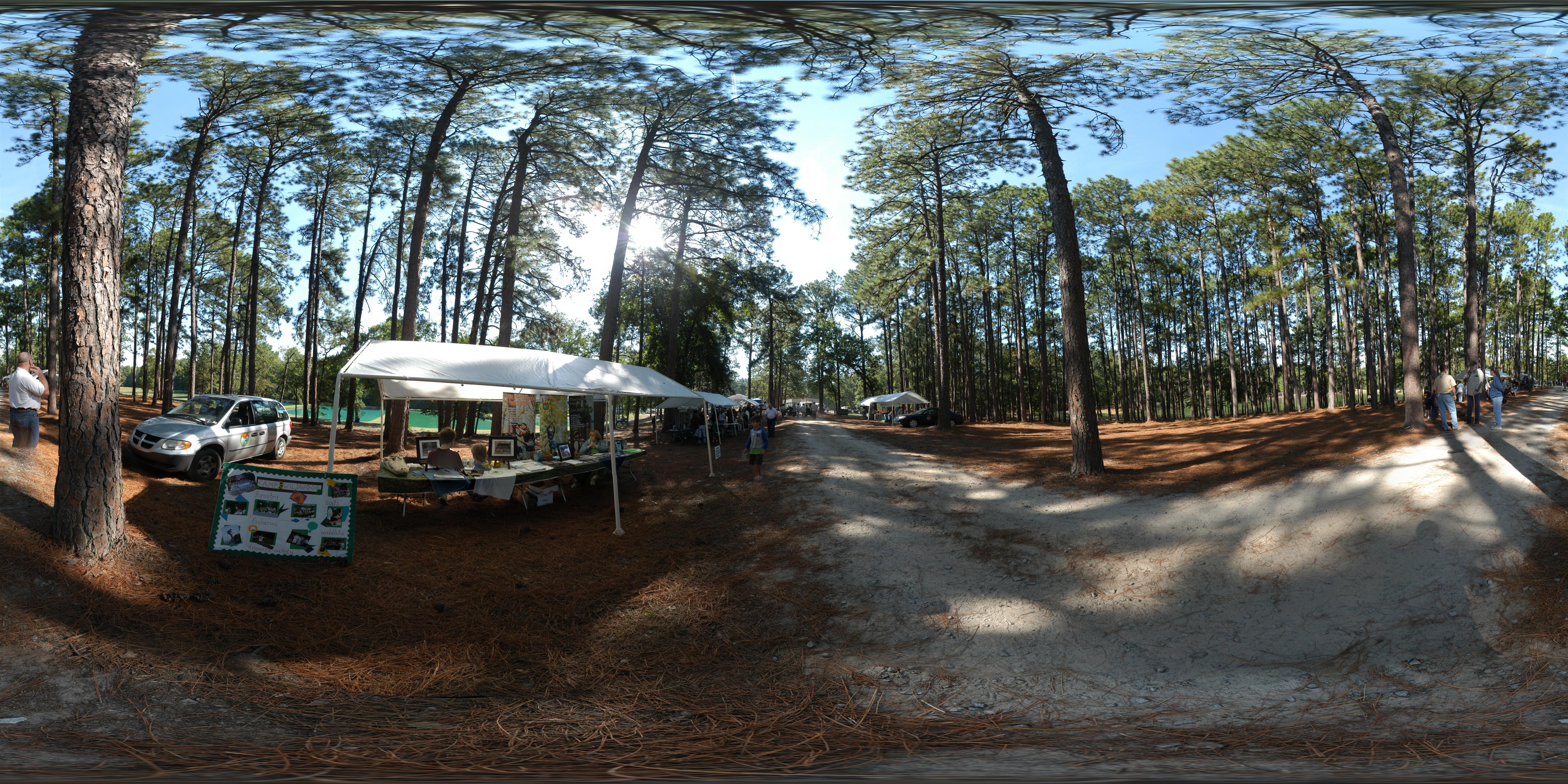
180 x 360 Panorama - Outdoor Family Adventure Day
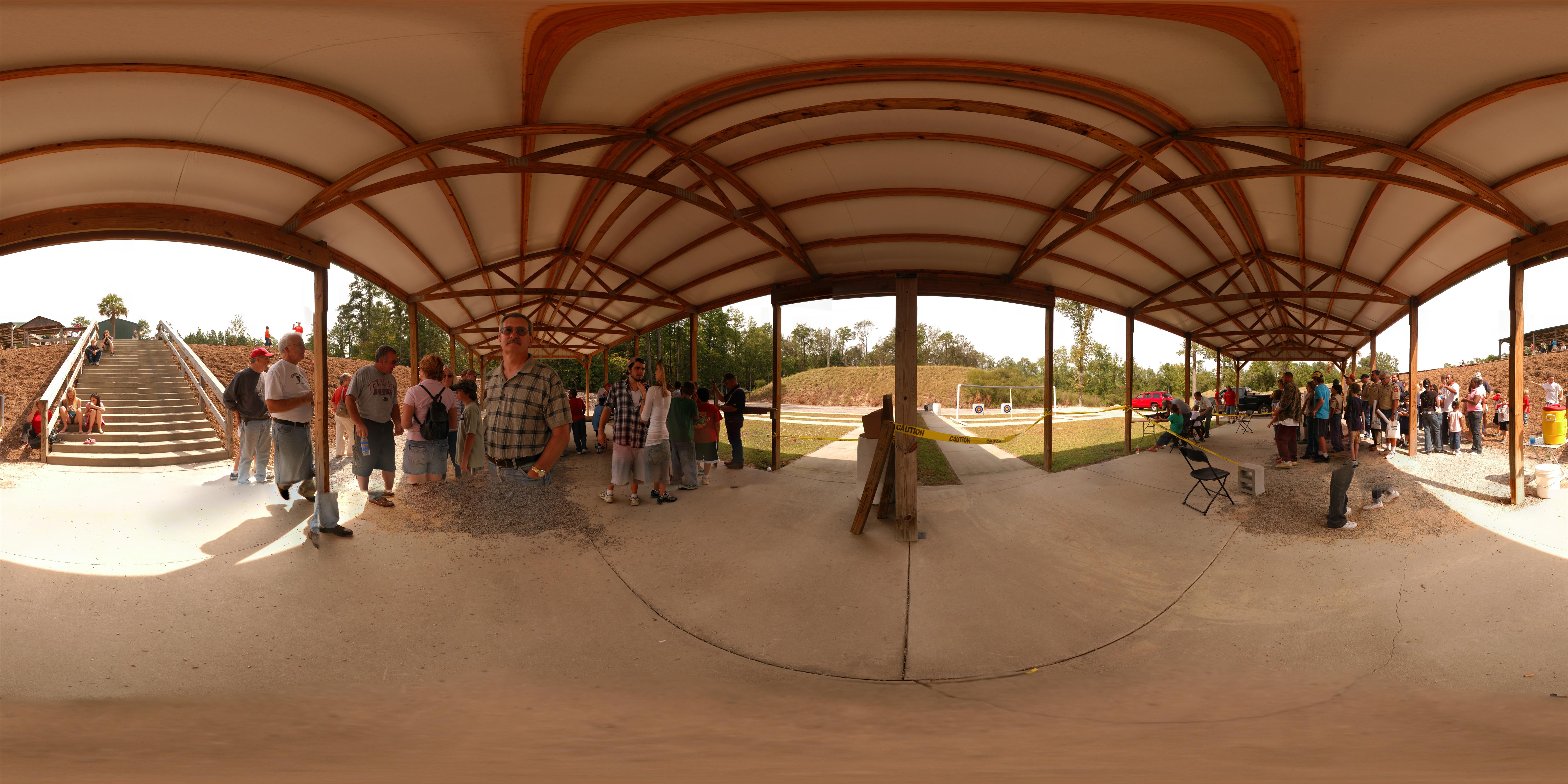
180 x 360 Panorama - Outdoor Family Adventure Day
180 x 360 Panorama - Outdoor Family Adventure Day
geiger3.JPG
DSCN1450.JPG
geiger8.JPG
geiger7.JPG
DSCN1447.JPG
geiger12.JPG
geiger5.JPG
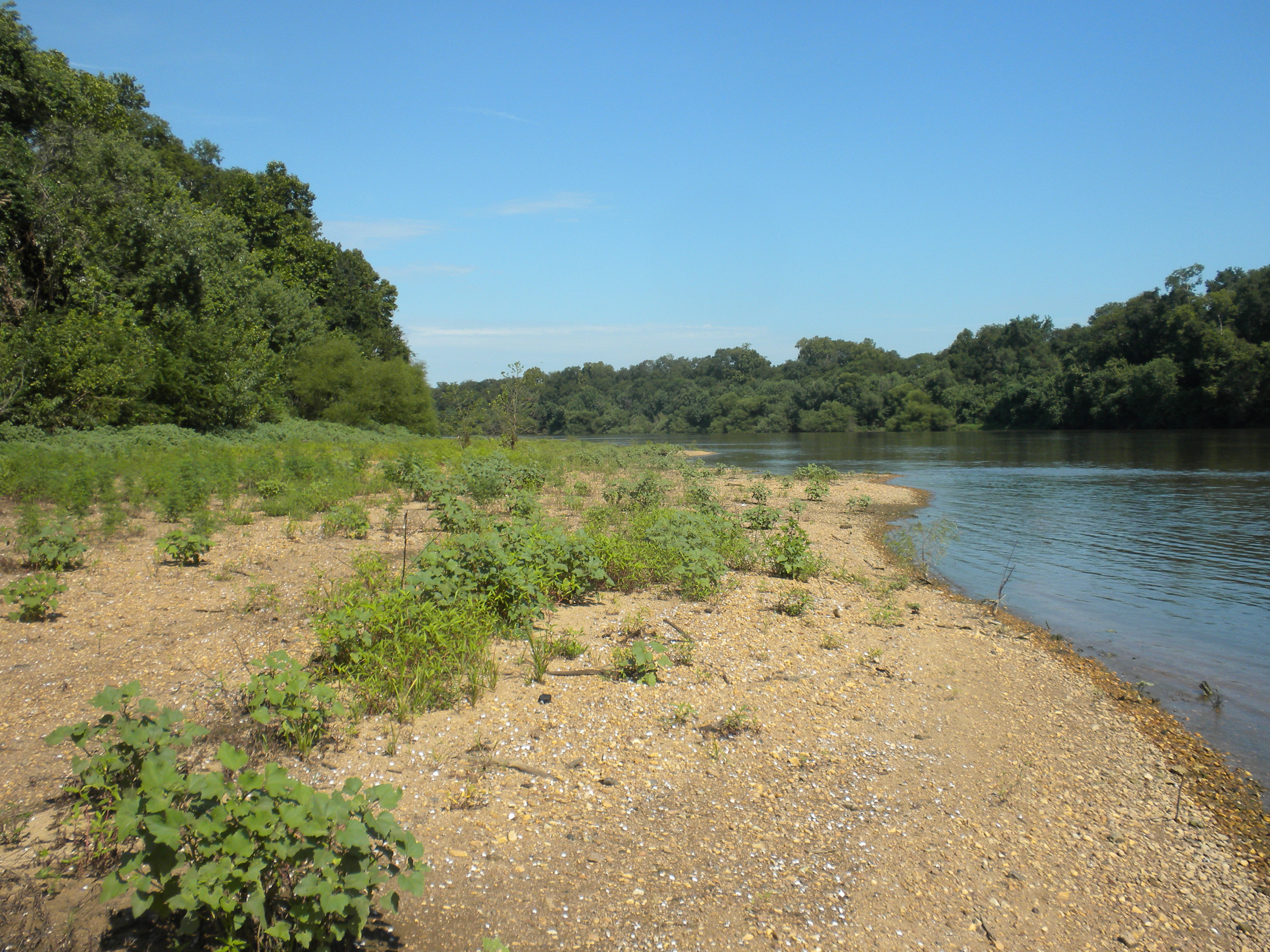
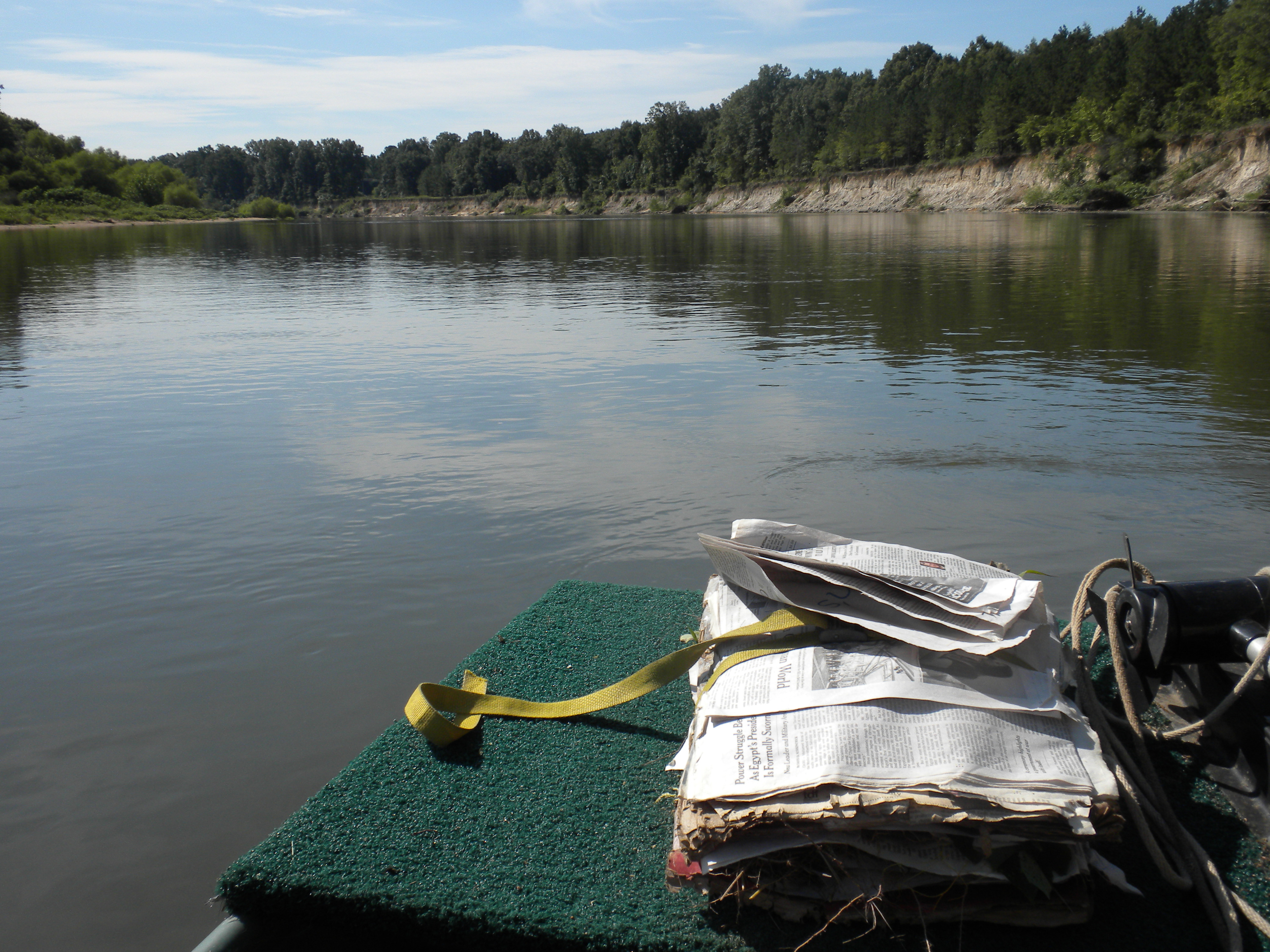
on the Congaree

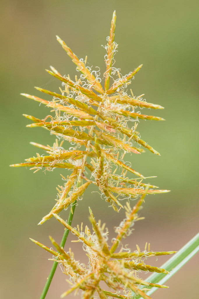
Echinochloa muricata (Tough Barnyard-grass)
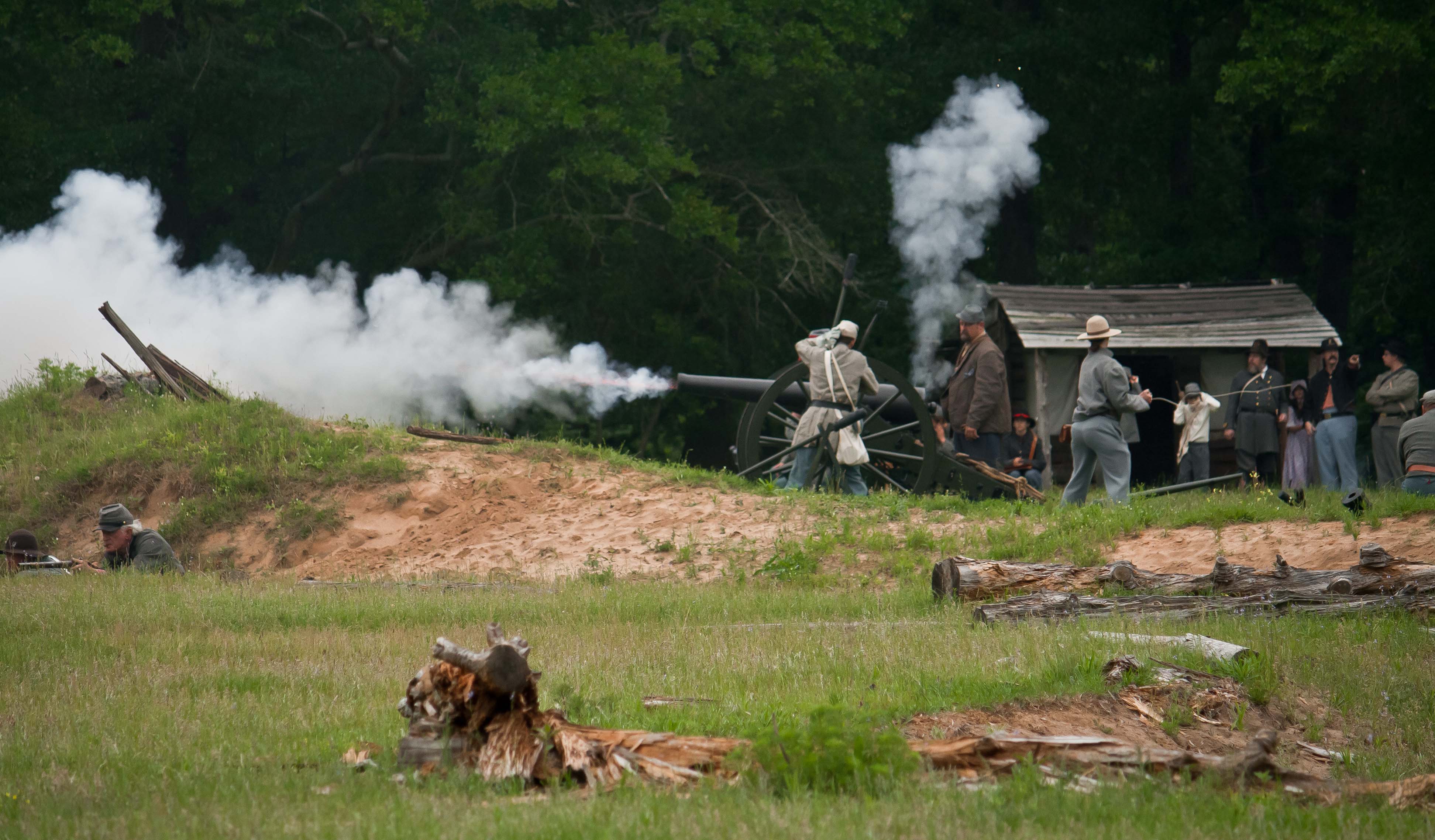
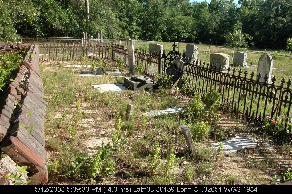
Confederate Cannons
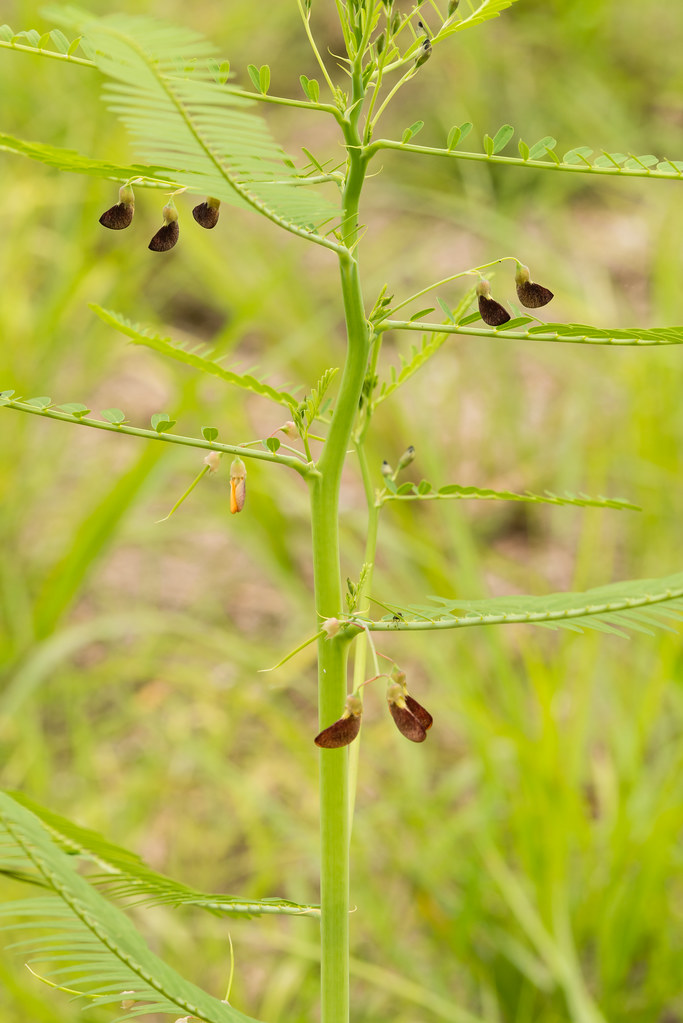
Sesbania herbacea (Danglepod)
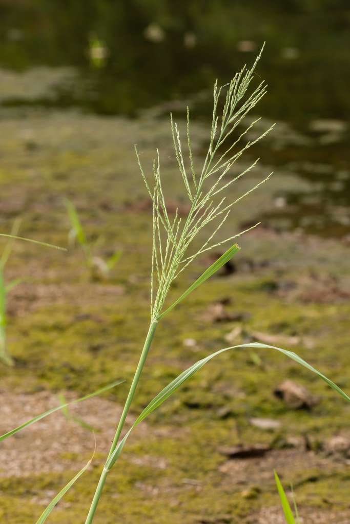
Diplachne uninervia (Mexican sprangletop)

MVC-010F.JPG
Congaree Swamp
MVC-008F.JPG
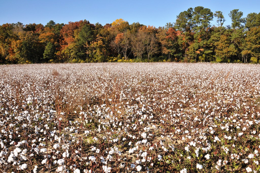
Cotton field
Cyperus esculentus (Yellow nut sedge)
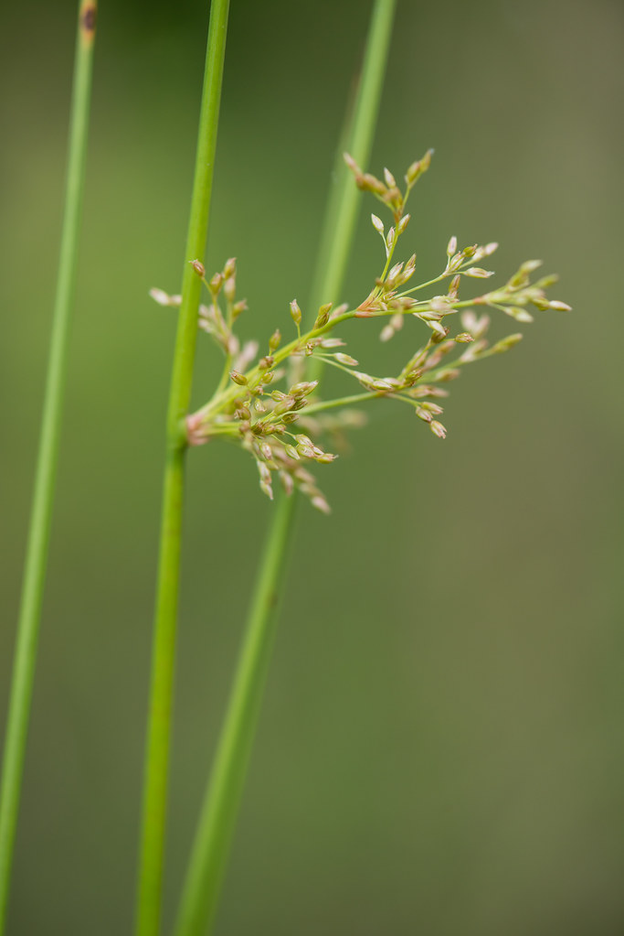
Juncus effusus ssp. solutus (Common Rush)
Topographic Map of Valley Ridge Rd, Gaston, SC, USA
Find elevation by address:

Places near Valley Ridge Rd, Gaston, SC, USA:
1730 Pine Plain Rd
150 Haigs Hill Rd
556 Old Swamp Rd
Silver Lake
Gaston
Gardners Terrace Rd, West Columbia, SC, USA
608 Forest Dr
3965 Bachman Rd
130 Casa Dell Rd
Pineridge
218 Bramblewood Cir
127 Boyd Shumpert Rd
Harmony Church Ln, Gaston, SC, USA
470 Courtney Dr
Pine Ridge
325 State Rd S-32-364
Placid Valley Road
South Carolina
South Congaree
702 Main St
Recent Searches:
- Elevation of Corso Fratelli Cairoli, 35, Macerata MC, Italy
- Elevation of Tallevast Rd, Sarasota, FL, USA
- Elevation of 4th St E, Sonoma, CA, USA
- Elevation of Black Hollow Rd, Pennsdale, PA, USA
- Elevation of Oakland Ave, Williamsport, PA, USA
- Elevation of Pedrógão Grande, Portugal
- Elevation of Klee Dr, Martinsburg, WV, USA
- Elevation of Via Roma, Pieranica CR, Italy
- Elevation of Tavkvetili Mountain, Georgia
- Elevation of Hartfords Bluff Cir, Mt Pleasant, SC, USA