Elevation of Casa Dell Rd, Gaston, SC, USA
Location: United States > South Carolina > Lexington County > Gaston >
Longitude: -81.147394
Latitude: 33.843687
Elevation: 147m / 482feet
Barometric Pressure: 100KPa
Elevation Map:
Satellite Map:
Related Photos:

Time and distance
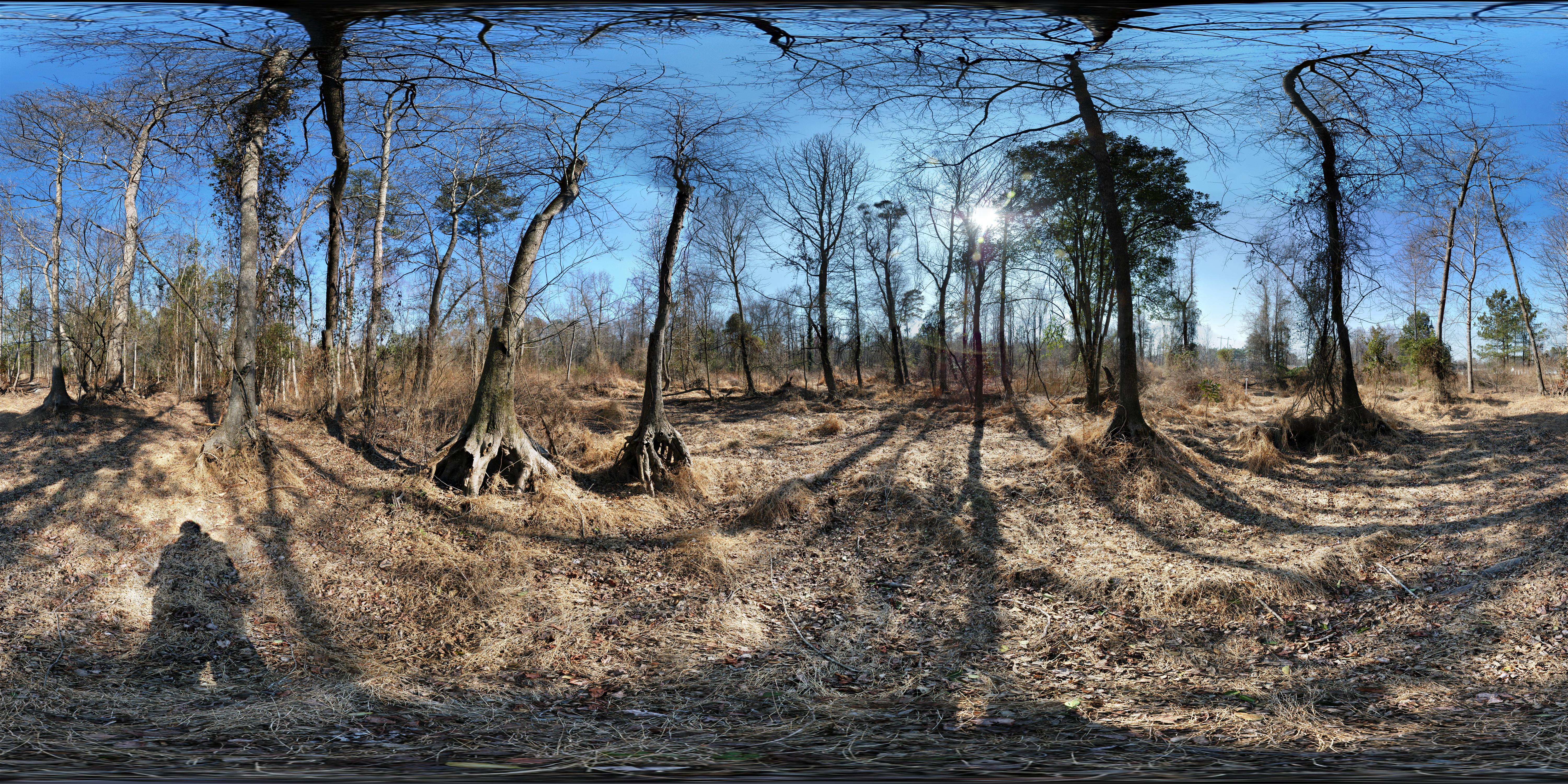
Dr. Taylor's Mitigation Bank (before restoration) 360° x 180°

Cohen Campbell Fish Hatchery
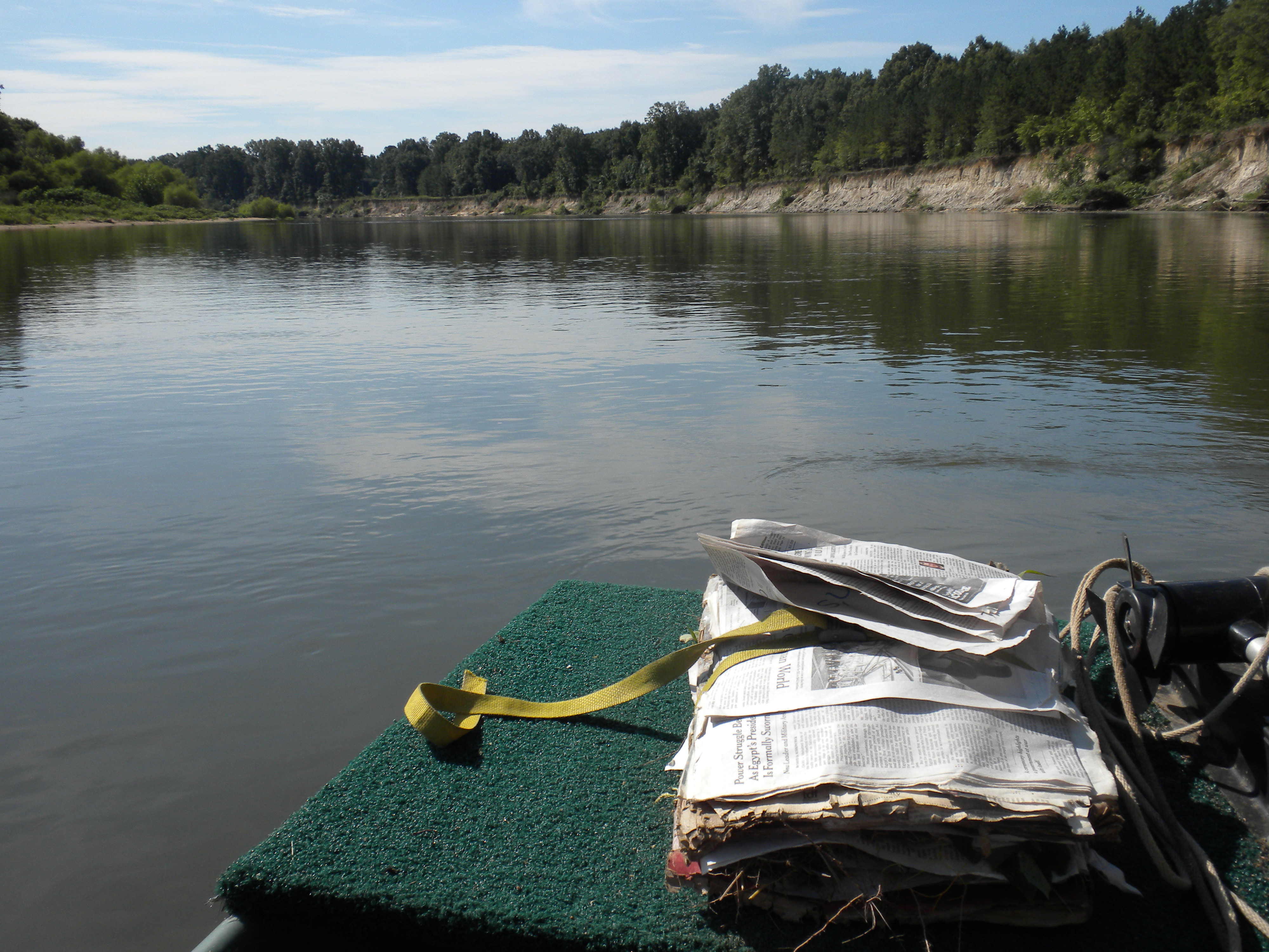
on the Congaree

180 x 360 Panorama - Outdoor Family Adventure Day

180 x 360 Panorama - Outdoor Family Adventure Day

Cohen Campbell Fish Hatchery

Outdoor Family Adventure Day

Cohen Campbell Fish House
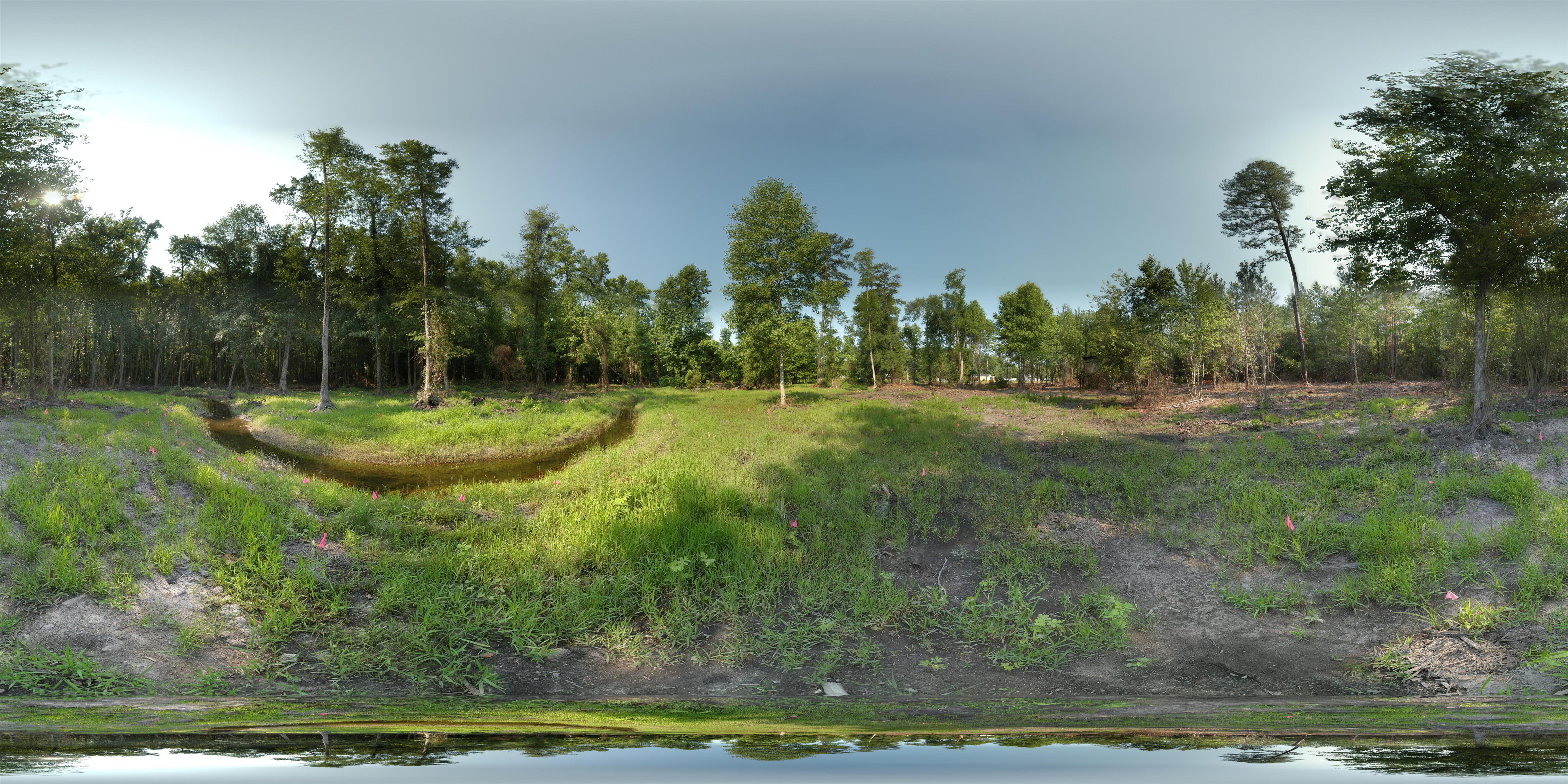
Dr. Taylor's Mitigation Bank (after restoration) 360° x 180°

180 x 360 Panorama - Outdoor Family Adventure Day

180 x 360 Panorama - Outdoor Family Adventure Day

View out of front door of Reed Hall on a summer's day

Takeoff from Columbia

Peachtree Rock-7306

Takeoff from Columbia

Where the heart is

geiger3.JPG

Christmas Peddler Panorama1

room with a view

geiger8.JPG

Congaree Creek Afternoon

Sprouts-7677

Symplocos tinctoria (Sweetleaf)

Botany field trip
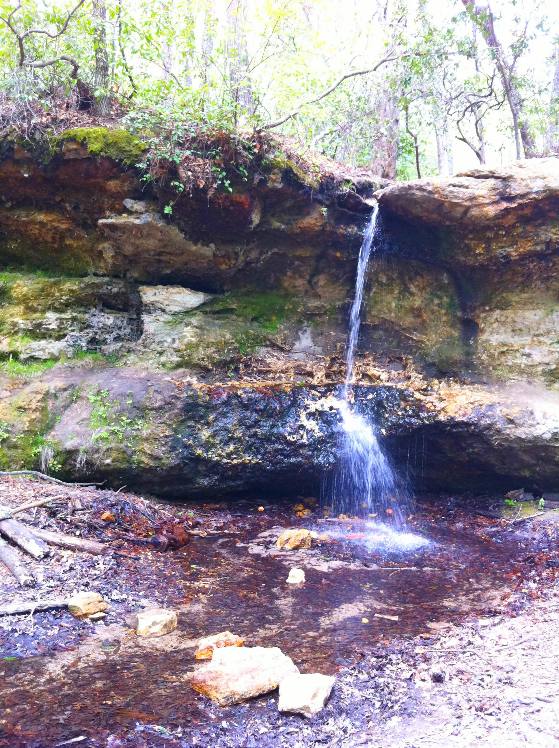
Waterfall at Peach Tree Rock

Lone purple flowers in a sea of yellow flowers on the campus of Midland's Tech, Airport campus.

2012-11-10_10-23-31_588
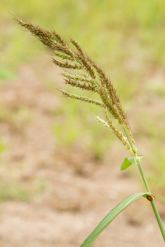
Echinochloa muricata (Tough Barnyard-grass)

Cyperus iria (Rice-field Flatsedge)

MTC campus

#411db

The only natural waterfall in central SC.

Prunus alabamensis (Alabama Black Cherry)
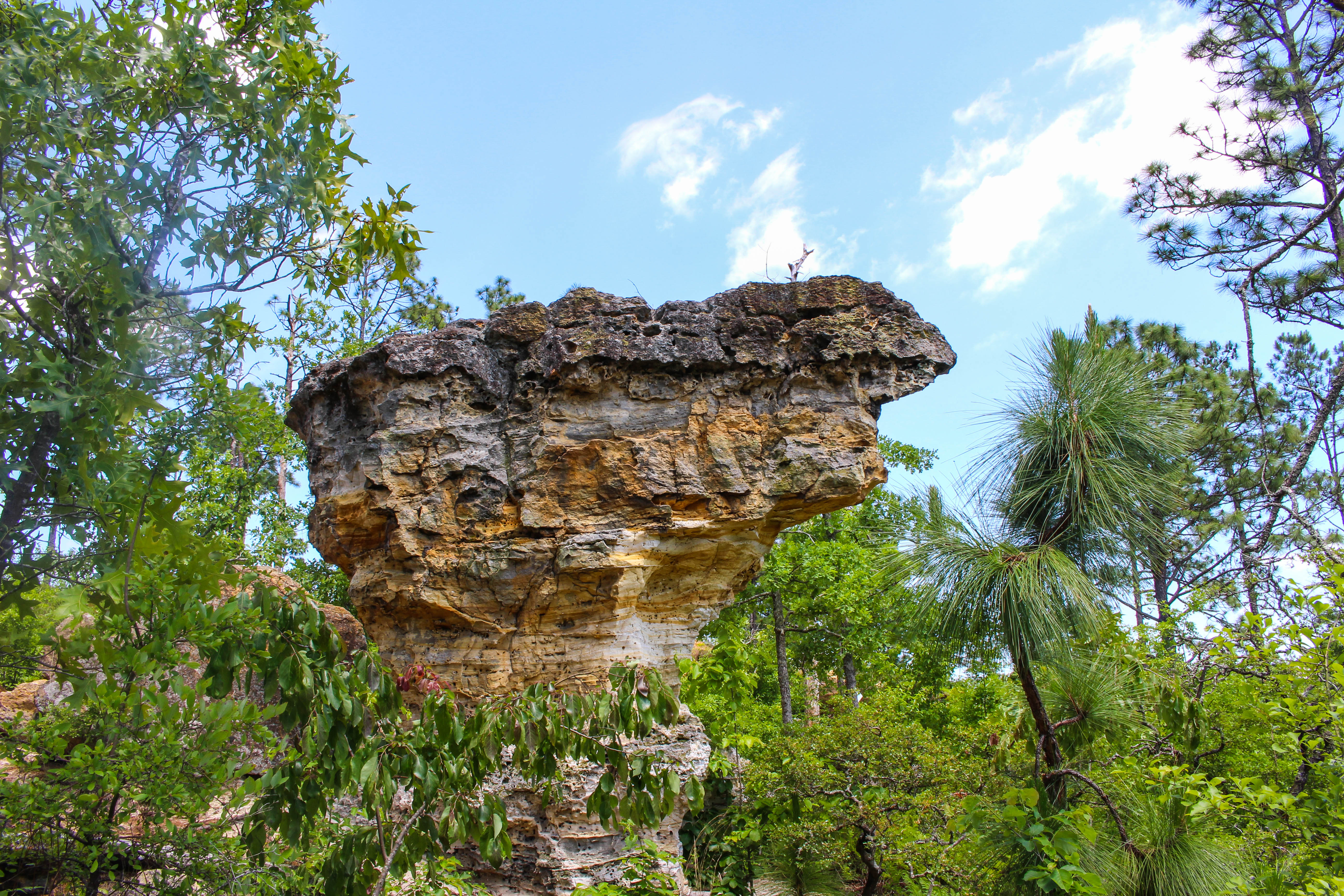
Little Peachtree Rock

Spring Flora class 2012

Cyperus erythrorhizos (Redroot Flatsedge)

Carex tenax (Wire sedge)
Topographic Map of Casa Dell Rd, Gaston, SC, USA
Find elevation by address:

Places near Casa Dell Rd, Gaston, SC, USA:
Placid Valley Road
South Carolina
127 Boyd Shumpert Rd
Harmony Church Ln, Gaston, SC, USA
608 Forest Dr
727 Peachtree Rock Rd
Gaston
Edmund
Crystal Ln, West Columbia, SC, USA
Crystal View
2682 S Lake Dr
3965 Bachman Rd
South Congaree
702 Main St
470 Courtney Dr
5231 Fish Hatchery Rd
Pineridge
Sams Elbow Rd, West Columbia, SC, USA
Pine Ridge
325 State Rd S-32-364
Recent Searches:
- Elevation of Corso Fratelli Cairoli, 35, Macerata MC, Italy
- Elevation of Tallevast Rd, Sarasota, FL, USA
- Elevation of 4th St E, Sonoma, CA, USA
- Elevation of Black Hollow Rd, Pennsdale, PA, USA
- Elevation of Oakland Ave, Williamsport, PA, USA
- Elevation of Pedrógão Grande, Portugal
- Elevation of Klee Dr, Martinsburg, WV, USA
- Elevation of Via Roma, Pieranica CR, Italy
- Elevation of Tavkvetili Mountain, Georgia
- Elevation of Hartfords Bluff Cir, Mt Pleasant, SC, USA