Elevation of S Lake Dr, Lexington, SC, USA

Location: United States > South Carolina > Lexington County > Lexington >

Longitude: -81.208685

Latitude: 33.8682919

Elevation: 138m / 453feet

Barometric Pressure: 100KPa

Elevation Map:

elevation map of S Lake Dr, Lexington, SC, USA

Satellite Map:

Satellite map of S Lake Dr, Lexington, SC, USA

Related Photos:

panorama fish state bass pano harvest southcarolina 360 striped hatchery fishhatchery equirectangular cohencampbell
Cohen Campbell Fish House
autumn fall yellow gold fallcolor tunnel autumnleaves walkway autumncolor goldenhills golfcartpath
03NOV13: into the light
panorama fish state bass pano harvest southcarolina 360 striped hatchery fishhatchery equirectangular cohencampbell
On the fish truck
fallleaves leaves yellow autumnleaves fallenleaf lowview 30mmlens
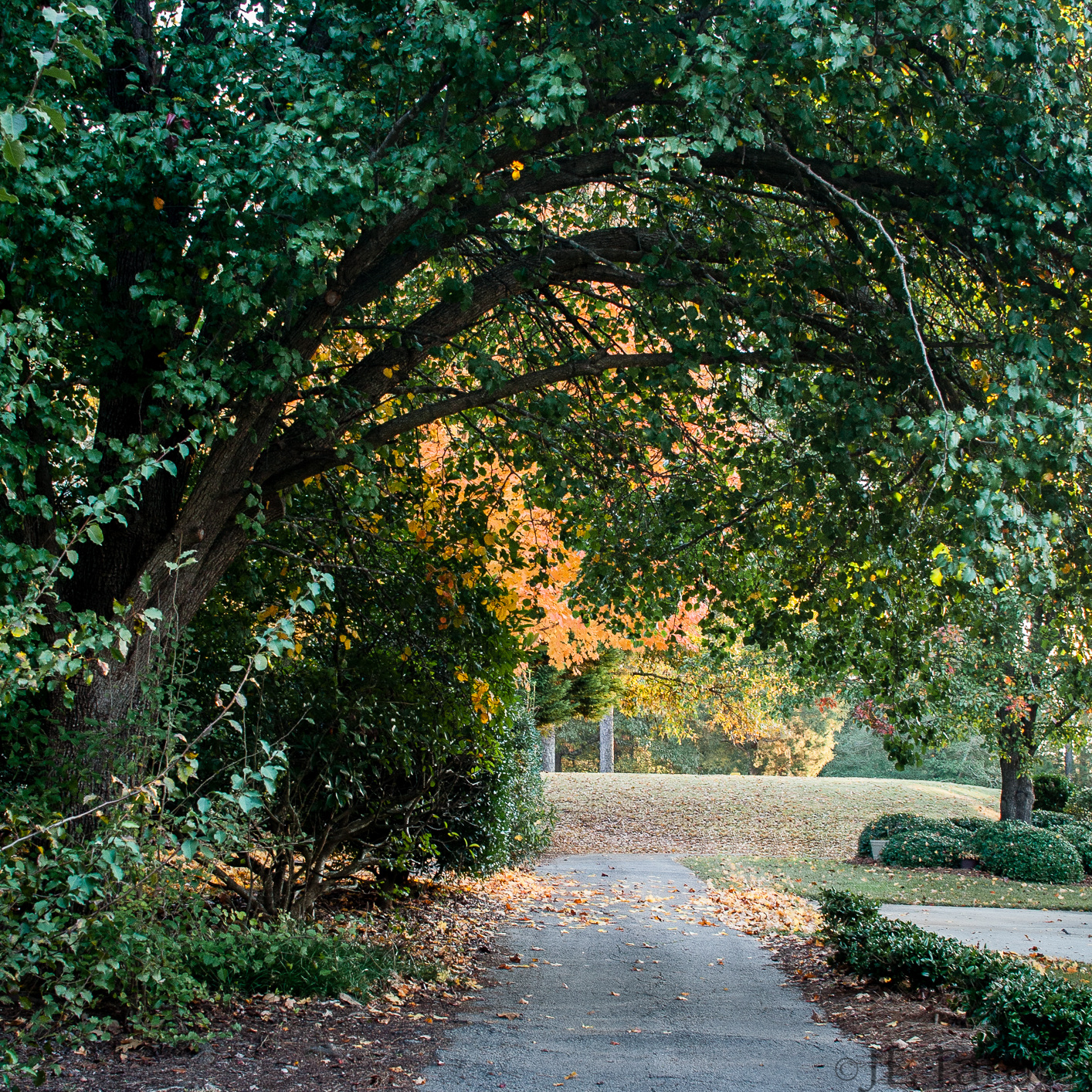
28OCT13: little yellow leaf
privatedetective privatedetectivelexingtonsc privateinvestigator privateinvestigatorlexingtonsc privateinvestigators lexington sc unitedstates austria usa divorce dissolve separate separation child sion for children view back look search alimony alimentszahlung alone educators visitation rights parent role educate education family policy people peoplesoft custody maintenance dear father paternity boy money young benefit allowances son
Private Detective SC
brick sc architecture pov bricks southcarolina pointofview smokestack historical lexingtonsc
Looking Up the Old Lexington Mill Tower in Lexington South Carolina
sunset sky simplicity darksky lateafternoon leaflesstrees
Simplicity: torch
panorama fish geotagged interestingness interesting pano 360 cohen campbell hatchery fishhatchery equirectangular cohencampbell cohencampbellfishhatchery geolon81103005 geolat33917762
Cohen Campbell Fish Hatchery
panorama geotagged fishing outdoor pano hunting southcarolina adventure national cohen campbell hatchery equirectangular outdoorfamilyadventureday cohencampbell geolon81101374 geolat33917321
180 x 360 Panorama - Outdoor Family Adventure Day
autostitch panorama geotagged pano bank 360 columbia sphere restoration wetland mitigation equirectangular 180x360 geolat33946590301034 geolon810710720789
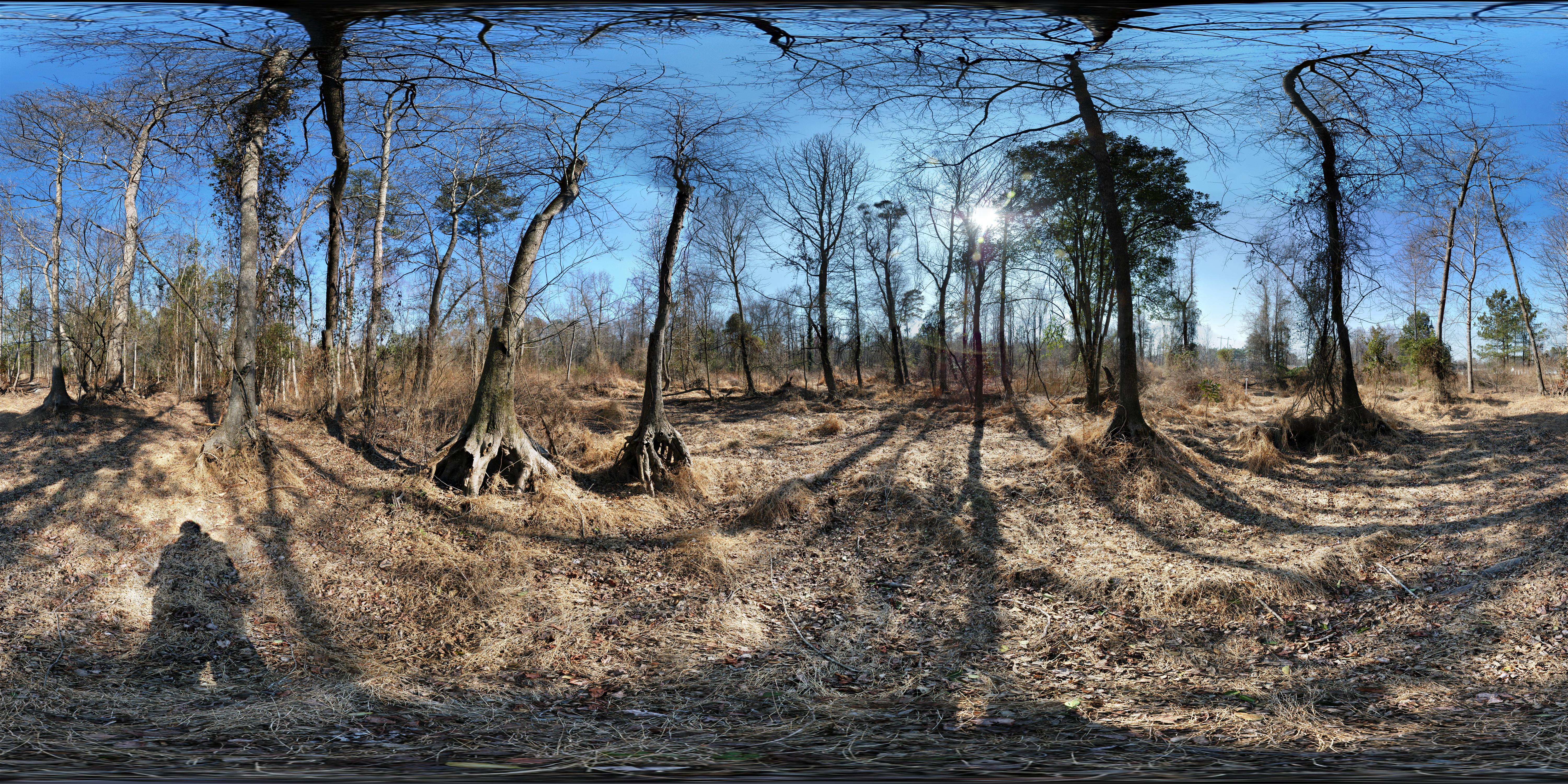
Dr. Taylor's Mitigation Bank (before restoration) 360° x 180°
autostitch panorama geotagged stream pano bank 360 columbia sphere restoration wetland mitigation equirectangular 180x360 geolat33946357281718 geolon8107043366971
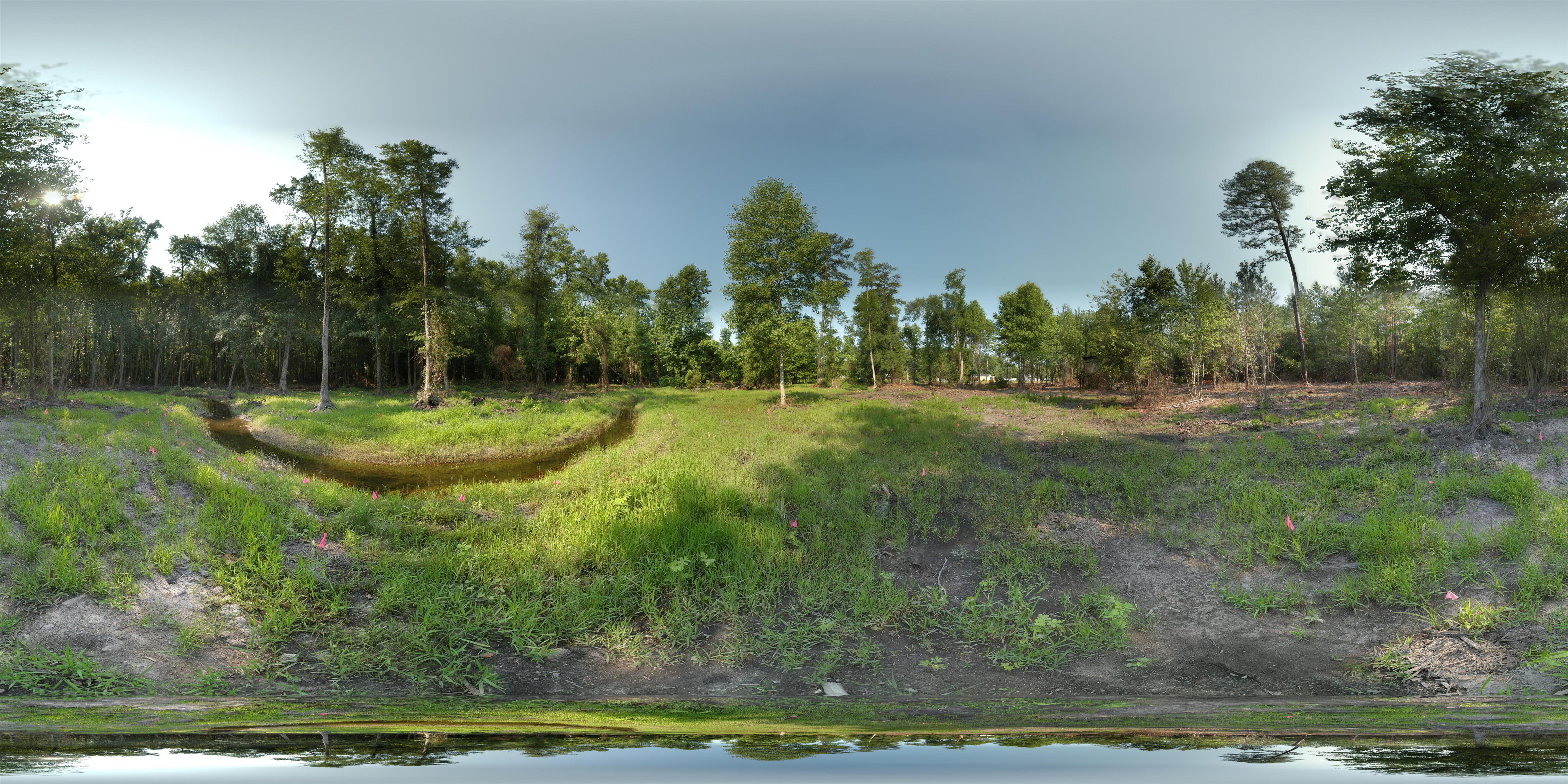
Dr. Taylor's Mitigation Bank (after restoration) 360° x 180°
moon planet nightsky
07SEP13: planet and moon
panorama fish geotagged fishing outdoor pano hunting 360 adventure national cohen campbell hatchery equirectangular outdoorfamilyadventureday cohencampbell geolon81102179 geolat33916876
Outdoor Family Adventure Day
fish geotagged fishing outdoor hunting columbia adventure national cohen campbell hatchery dnr equirectangular scdnr outdoorfamilyadventureday geolon81101932 geolat33916903
180 x 360 Panorama - Outdoor Family Adventure Day
panorama kids geotagged fishing gun outdoor pano hunting southcarolina 360 adventure national styx crossbow pineridge equirectangular scdnr outdoorfamilyadventureday geolon81109796 geolat3391823
180 x 360 Panorama - Outdoor Family Adventure Day
gardens backyard neighborhood goldenhills
11AUG13: backyards
panorama fish geotagged interestingness interesting pano 360 cohen campbell hatchery fishhatchery equirectangular cohencampbell cohencampbellfishhatchery geolon81103252 geolat33919258
Cohen Campbell Fish Hatchery
panorama geotagged fishing outdoor pano hunting southcarolina 360 adventure national cohen styx campbell pineridge hatchery equirectangular scdnr outdoorfamilyadventureday geolon81103659 geolat33919307
180 x 360 Panorama - Outdoor Family Adventure Day
sand golfcourse goldenhills twelvemilecreek
20AUG13: sand
lighting lights
29AUG13: check
green plants backyard wet rain american flag pallet distortion
American Backyard
dusk sunset nature sundown trees
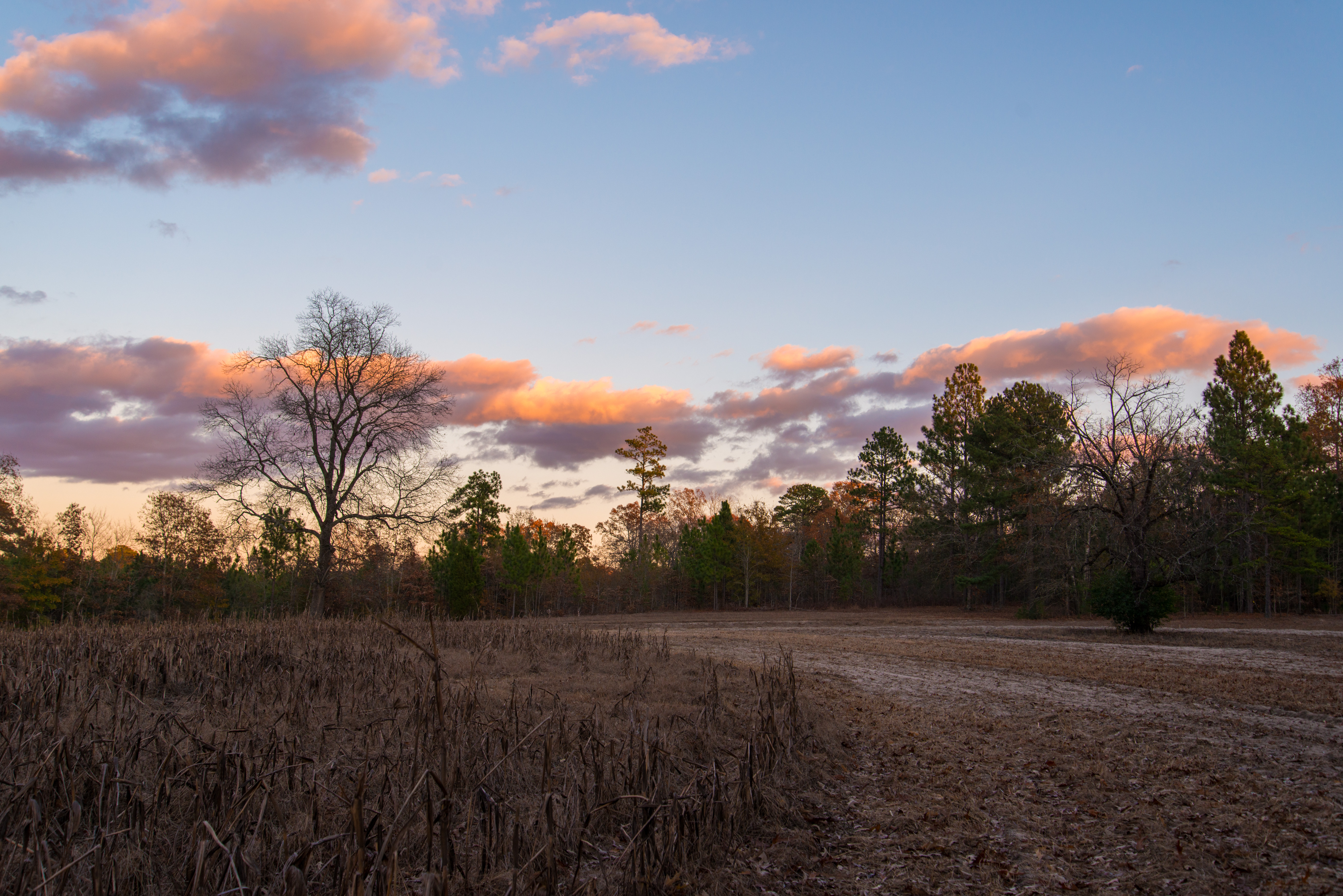
A Wave of Dusk Clouds
ericaceae endemic rare dicots raynersblueberry vacciniumsempervirens
Vaccinium sempervirens (Rayner's blueberry)
tree native cupressaceae cones atlanticwhitecedar chamaecyparisthyoides gymnosperms cupressusthyoides
Chamaecyparis thyoides (Atlantic white cedar)
native monocots cyperaceae carextenax wiresedge hallerianae
Carex tenax (Wire sedge)
yellow woods poisonivy indiansummer sunstar goldenhills 30mmlens
30OCT13: Indian summer
grass grasses backlit backlighting 30mmlens
29OCT13: golden
dicots aquifoliaceae ilexglabra gallberry
Ilex glabra Gallberry)
sc south carolina macrodreams
Sprouts-7677
flood pentax lexington southcarolina damage oldmill tamron18200 pentaxk30 scflood
Lexington Old Mill Dam Break
sc scenic southcarolina lexingtonsc
Man Made Waterfall At the Old Lexington Mill in Lexington South Carolina
tree native bark trunk cupressaceae atlanticwhitecedar chamaecyparisthyoides gymnosperms cupressusthyoides
Chamaecyparis thyoides (Atlantic white cedar)
flood pentax lexington southcarolina damage oldmill tamron18200 pentaxk30 scflood
Lexington Old Mill Dam Pond
lexingtonsc originalfilter uploaded:by=flickrmobile flickriosapp:filter=original
Country Land
tree native cupressaceae atlanticwhitecedar chamaecyparisthyoides gymnosperms cupressusthyoides
Chamaecyparis thyoides (Atlantic white cedar)
tolkien clarkcemetery itwasmadebythosewhoaredead andthedeadkeepit
Walled city
flower tree native flowering inflorescence rosaceae dicots alabamablackcherry padusalabamensis padusaustralis paduscuthbertii prunusalabamensis prunusserotinavaralabamensis prunusserotinassphirsuta
Prunus alabamensis (Alabama Black Cherry)
travel 35mm suburban air south columbia neighborhood carolina windowseat
Suburban Landscape (1989)
uploaded:by=flickrmobile flickriosapp:filter=toucan toucanfilter
MTC campus
native shrub dicots aquifoliaceae ilexcoriacea biggallberry sweetgallberry
Ilex coriacea (Big gallberry)
southcarolina gaston lexingtoncounty nikond800
141127-4653 Gaston
cloud storm stormcloud goldenhillsgolfandcountryclub
07JUN14: looming