Elevation of Haigs Hill Rd, Swansea, SC, USA
Location: United States > South Carolina > Lexington County > Swansea >

Longitude: -80.937167

Latitude: 33.8102578

Elevation: -10000m / -32808feet

Barometric Pressure: 295KPa

Elevation Map:

elevation map of Haigs Hill Rd, Swansea, SC, USA

Satellite Map:

Satellite map of Haigs Hill Rd, Swansea, SC, USA

Related Photos:

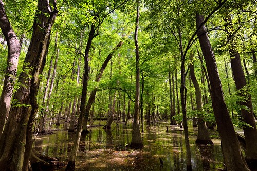
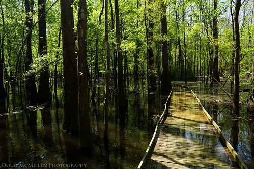
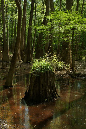
arc reflection trees swamp wetland congaree sc water botany creek bark foliage spring marionburnside millaree richlandcounty fieldtrip wood leaves ripple shine shadow light dark love air scene science biology nyssa algae aquatic natural nature gum tupelo botánica
creek view
nikond800e congareenationalparkandatlanta triptocongareenationalparkandatlanta congareenationalpark lookingsouth azimuth200 day1 piedmontsoutheastcoast piedmont westerncarolinapiedmont boardwalklooptrail capturenx2edited colorefexpro witharsenal imagecapturewitharsenal sunny bluesskieswithclouds partlycloudy nature outside landscape travel trees oldgrowthbottomlandhardwoodforest bottomlandhardwoodforest oneofhighesttemperatedeciduousforestcanopy congareefloodplain internationalbiospherereserve usbiospherereserve boardwalkloop talltrees talltreesallaround cypresstrees baldcypresstrees glasslikereflections lakereflectionsonwater reflections reflectionsonlake reflectionsonpond reflectionsonwater waterreflections waterreflectionsoftrees freeversepoetry poemsused poetryandprose southcarolina unitedstates
Do You Want to Visit Nature (Congaree National Park)
trees light green sc nature leaves d50 nikon branches southcarolina competition columbia april limbs 2008 stretching marc50
Stretching Towards the Light
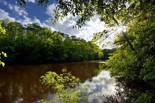
nikond800e congareenationalparkandatlanta triptocongareenationalparkandatlanta congareenationalpark westonlake lookingwest azimuth250 day1 piedmontsoutheastcoast piedmont westerncarolinapiedmont westonlakelooptrail lake oxbowlake sun blueskieswithclouds sunshiningthroughtrees sunthroughtrees trees cloudreflections cloudreflectionsonwater lakereflectionsonwater reflections reflectionsonlake reflectionsonpond reflectionsonwater waterreflections waterreflectionsofclouds waterreflectionsoftrees freeversepoetry poemsused poetryandprose capturenx2edited colorefexpro witharsenal imagecapturewitharsenal blueskies bluesskieswithclouds partlycloudy sunny nature outside landscape travel glasslikereflections project365 portfolio canvas eccezionale southcarolina unitedstates
The Calm Waters of Lake Captured Reflections of Colors and Shadows (Congaree National Park)
blackwater creek stream water flowing plant botany wetland sand clear sandhills lexington sc carolina sedge grass cyperaceae poaceae taxonomy schoenoplectus nature nikon love snake splash flow weed botanical view camera rural biology fish critters insects amphibians snakes botánica culebra serpente entomología
blackwater creek
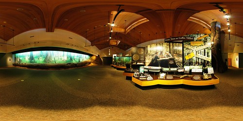
park panorama monument geotagged interestingness interesting pano harry 360 indoor center explore national sphere hampton visitor congaree equirectangular geolon8082347 geolat33829664
Congaree National Park - Harry Hampton Building
park autostitch tree forest river geotagged 360 180 national congaree equirectangular psphere geolat337702 geolon807866
Congaree River (180 x 360 degree panorama)
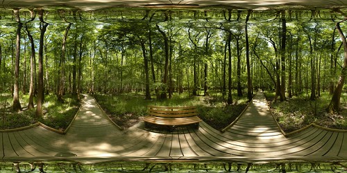
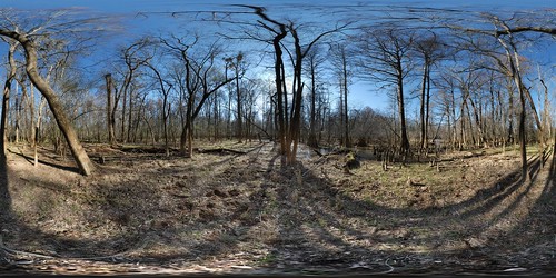
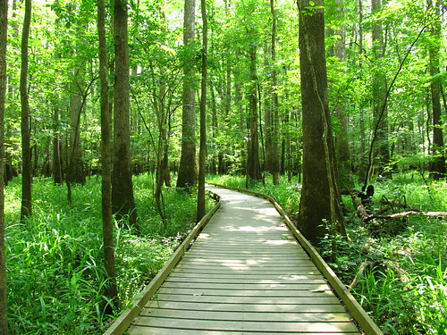
park autostitch panorama monument forest geotagged nationalpark pano 360 national sphere swamp boardwalk hardwood congaree equirectangular 180x360 geolat33822448057752 geolon80826088142397
Congaree National Park - Low Boardwalk (360° x 180°)
park panorama copyright lake geotagged pano 360 national sphere oxbow congaree deadriver ptgui enblend equirectangular geolon80773619 geolat33779726
Congaree National Park - Dead River Lake (360 Panorama)
botany botanist boat press plantpress strap river erosion bank curve bend sc carolina congaree outofafghanistan botánica
on the Congaree
park autostitch tree forest geotagged 360 180 national congaree equirectangular psphere geolat337801 geolon807733
Congaree National Park - Dead River Lake (180 x 360 degree panorama)
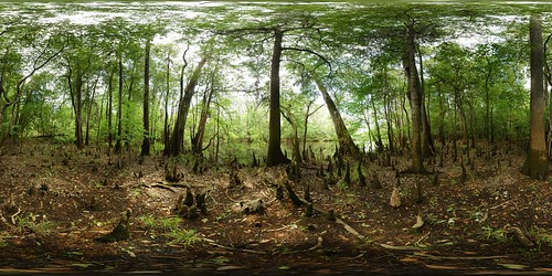
park panorama lake tree monument geotagged pano 360 national cypress knee weston congaree equirectangular geo:lat=33820938 geo:lon=80816287
Congaree National Park - Weston lake - Full sphere (360° x 180°) panorama
park old autostitch panorama forest river geotagged dead gut pano 360 national congaree geolat337823 geolon807729
Congaree National Park - Dead River Gut (360 degree panorama)
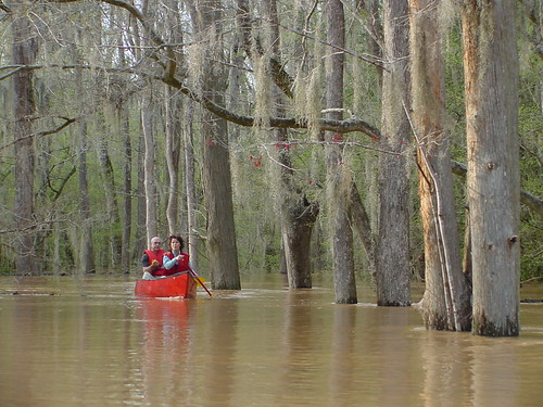
congaree national park swamp monument canoe flood floodplain nature geotagged geolat338149 geolon8082685 nationalpark
Canoe Trip (Cedar Creek)
park lake monument geotagged elle projection national swamp weston congaree stereographic geo:lon=80817768 geo:lat=33821602
A Stereographic Elle
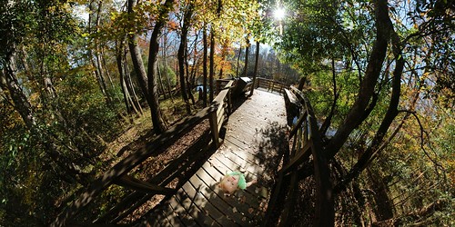
park autostitch panorama geotagged nationalpark pano 360 national boardwalk congaree geolat338282 geolon8082435
Congaree National Park Low Boardwalk (360 Pano)
park panorama monument pine geotagged pano south 360 national carolina congaree loblolly pinus pinustaeda equirectangular psphere taeda geo:lon=80818347 geo:lat=33822012
Congaree National Park - Champion Loblolly Pine - Full sphere (360° x 180°) panorama
park autostitch tree metal geotagged national congaree geolat337825 olddeadriver geolon8077275
2006-02-26 Congaree NP - Dead River Metal Tree
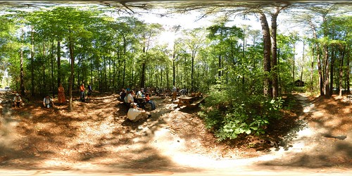
park panorama tom pano 360 national technologies 2007 primitive congaree equirectangular psphere manke naturefest
Naturefest - Full sphere (360° x 180°) panorama
usa nikon southcarolina parks national congareenationalpark d80 gaugamela
Congaree National Park 1
park panorama pano 360 national technologies 2007 primitive congaree equirectangular psphere naturefest
Naturefest - Full sphere (360° x 180°) panorama
park tree green sc nature leaf exposure nps hiking south southcarolina sigma wideangle columbia multipleexposure trail national cedar swamp carolina imagination cypress fusion nationalparkservice 8mm et ef cypresstree congaree uwa potofgold columbiasc floodedforest baldcypress 6xp congareeriver usdepartmentoftheinterior flickraward exposurefusion phantasmata eoskissx4 canoneos550d eos550d canoneosrebelt2i rebelt2i canoneoskissx4 eosrebelt2i sigma816 flickrtravelaward congareenatinalpark congareeindians hallglorymorningwayaug2011
Congaree National Park
nationalpark nature landscape bottomland congaareenationalpark sc southcarolina
Congaree National Park Landscape
lake surface
reflection underwater southcarolina swamp congaree congareenationalpark april2014
High Water
southcarolina columbia swamp richland congaree congareenationalpark congareenp
Lower Boardwalk Trail, Congaree National Park (5)
park green national cypress congaree floodplain
Congaree National Park
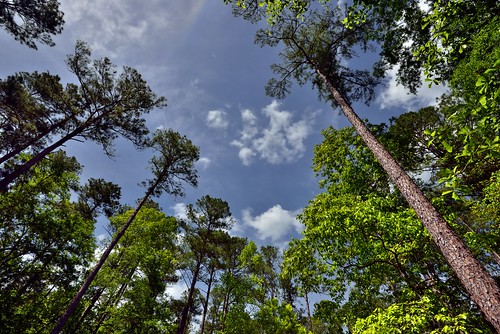
nikond800e congareenationalparkandatlanta triptocongareenationalparkandatlanta congareenationalpark lookingeast azimuth106 day1 capturenx2edited colorefexpro blueskies bluesskieswithclouds partlycloudy sunny parkingarea outsidevisitorcenternature outside landscape travel trees evergreentrees evergreens talltrees talltreesallaround lookingup lookingupatsky lookingupatskythroughtrees lookingupatskythrutrees lookinguptosky project365 portfolio canvas southcarolina unitedstates
A National Park Experience Can Start in the Parking Lot if One Remembers to Look Around and Up! (Congaree National Park)
park green flood south national carolina cypress congaree
Congaree National Park
square squareformat iphoneography instagramapp uploaded:by=instagram
#congaree #hiking #landscape #wh15
Spring growth
square squareformat iphoneography instagramapp uploaded:by=instagram
#congaree #hiking #landscape #sc #wh15
ecosystems
Congaree National Park's flooded boardwalk
IMG_0924The not-so-secret location where the mosquitos are raising their army to take over the swamp
Bald Cypress
geotagged geo:lat=338217593339913 geo:lon=808177249979993
IMGP2965.jpg
dcfilm hipstamatic bettiexllens
Congaree National Park, SC