Elevation of Valencia, Santa Clarita, CA, USA
Location: United States > California > Los Angeles County > Santa Clarita >
Longitude: -118.57133
Latitude: 34.4560447
Elevation: 433m / 1421feet
Barometric Pressure: 96KPa
Elevation Map:
Satellite Map:
Related Photos:

Down Town L. A. From Oat Mountain
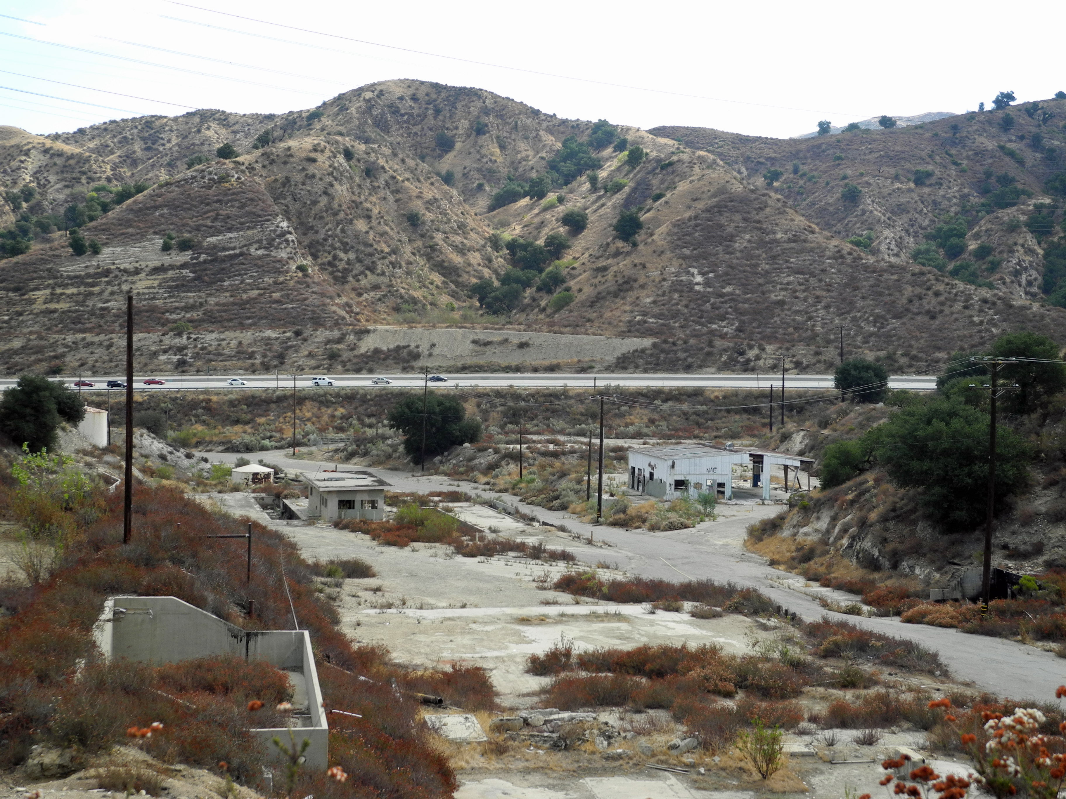
Abandoned Oil Refinery Santa Clarita

my way to work

Park View - Santa Clarita, Ca
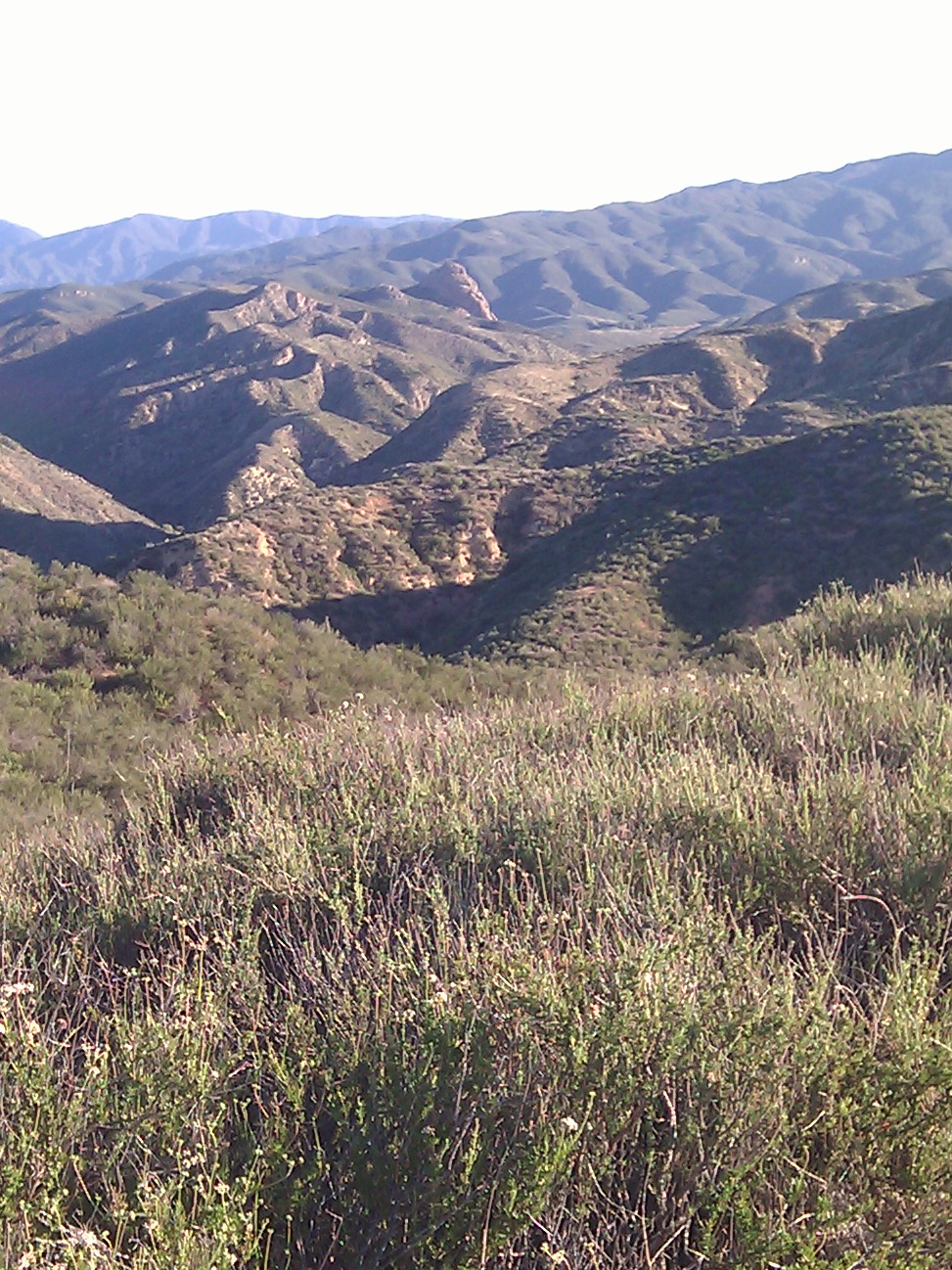
view from the top

Castaic Aquaduct View

Elsmere Canyon in Santa Clarita, CA
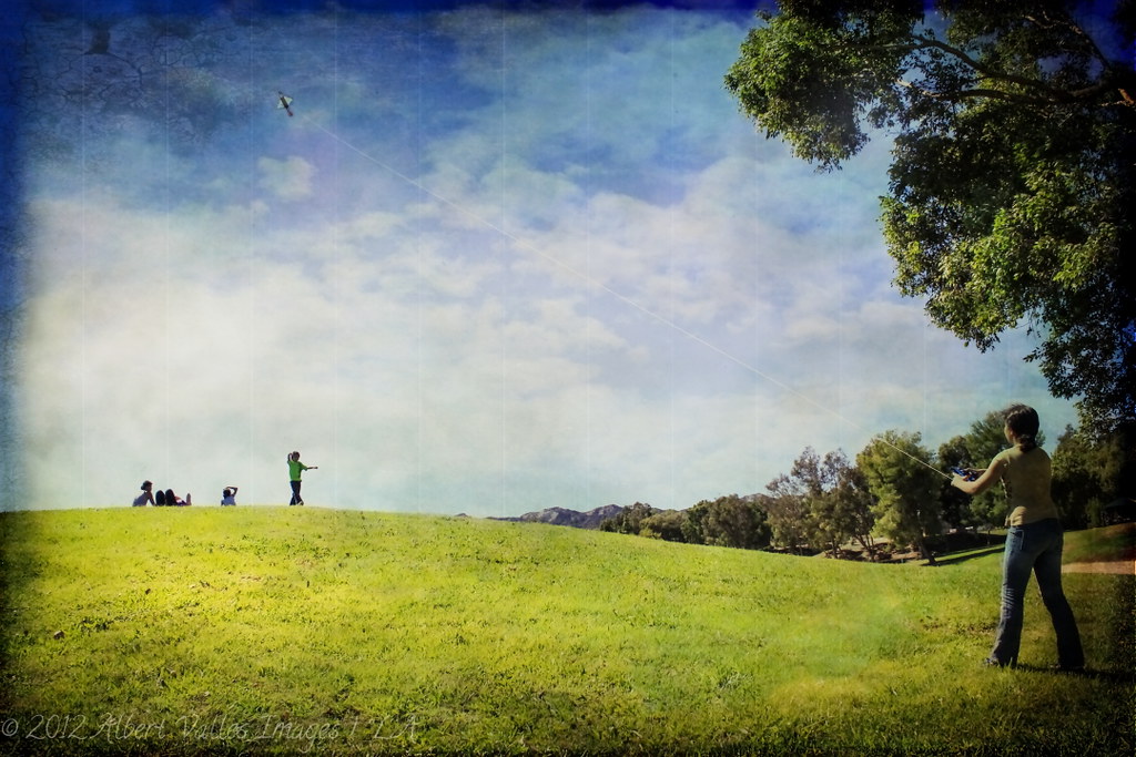
Palying with the Discovery!

Screen shot of the multitouch Google/Flickr mashup showing the precipitation KML overlay
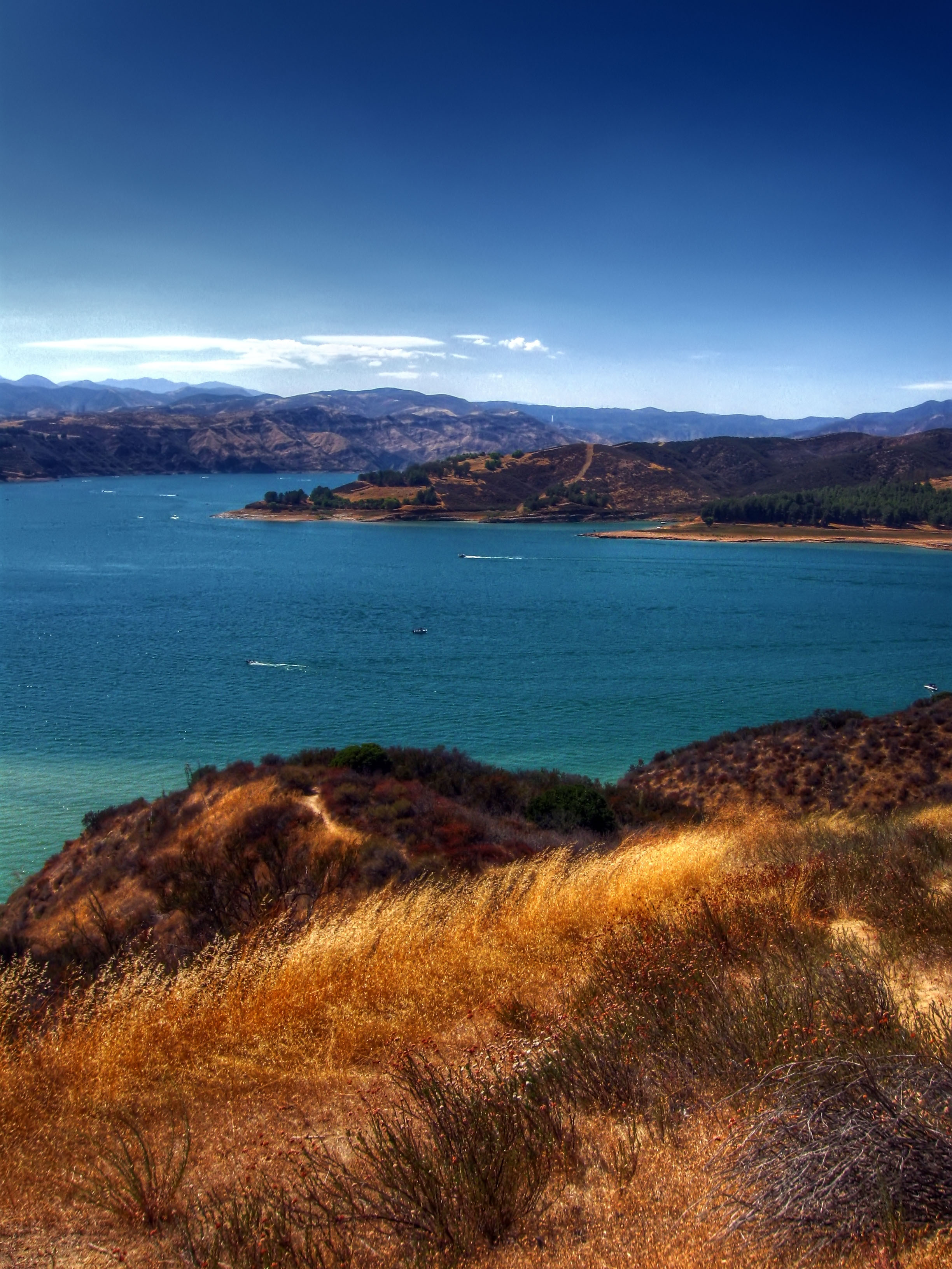
Overlooking Castaic Lake
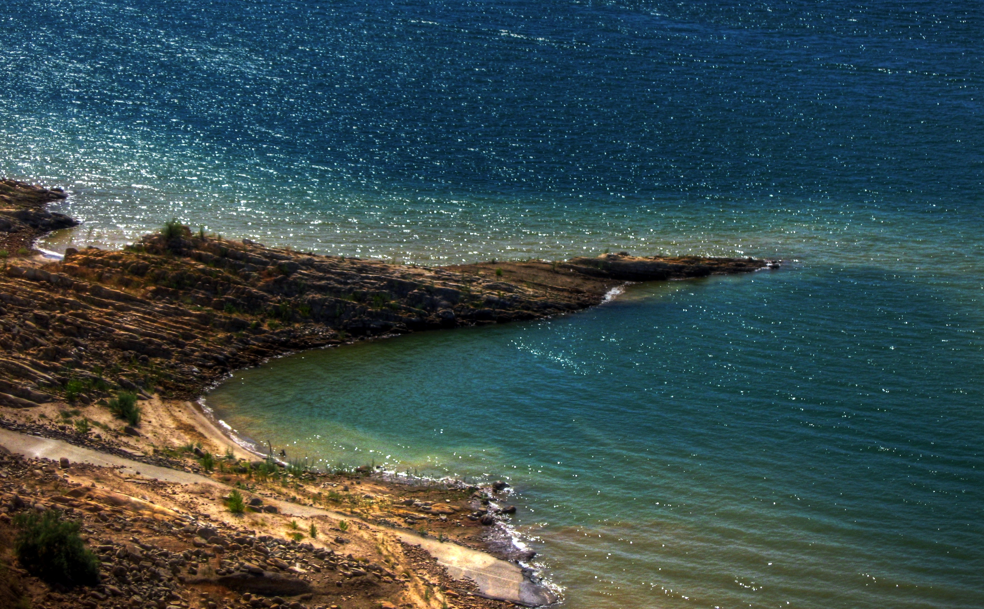
CASTAIC LAKE

Forest around Castaic Lake
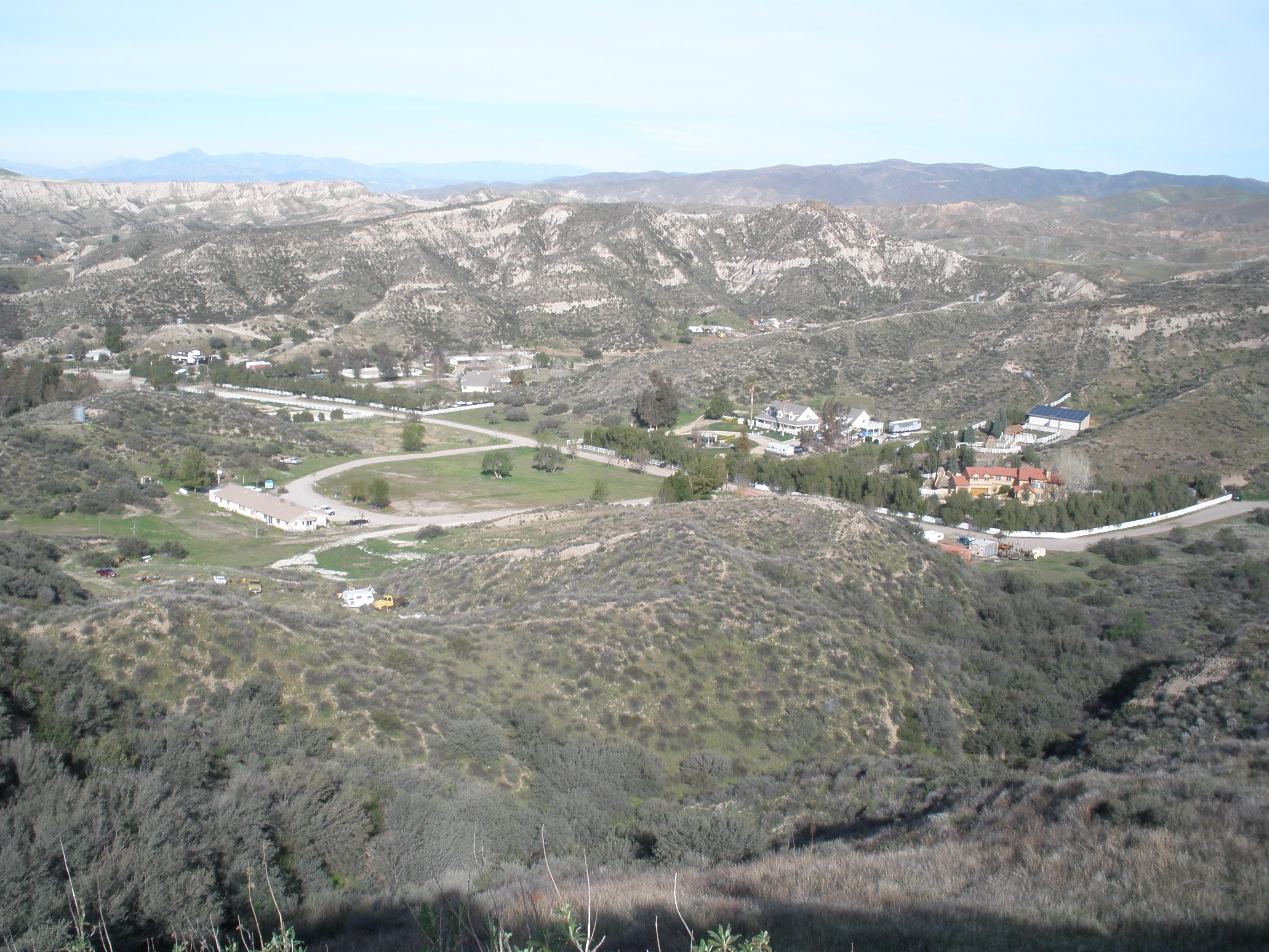
Canyon Country
St. Francis Dam Remains
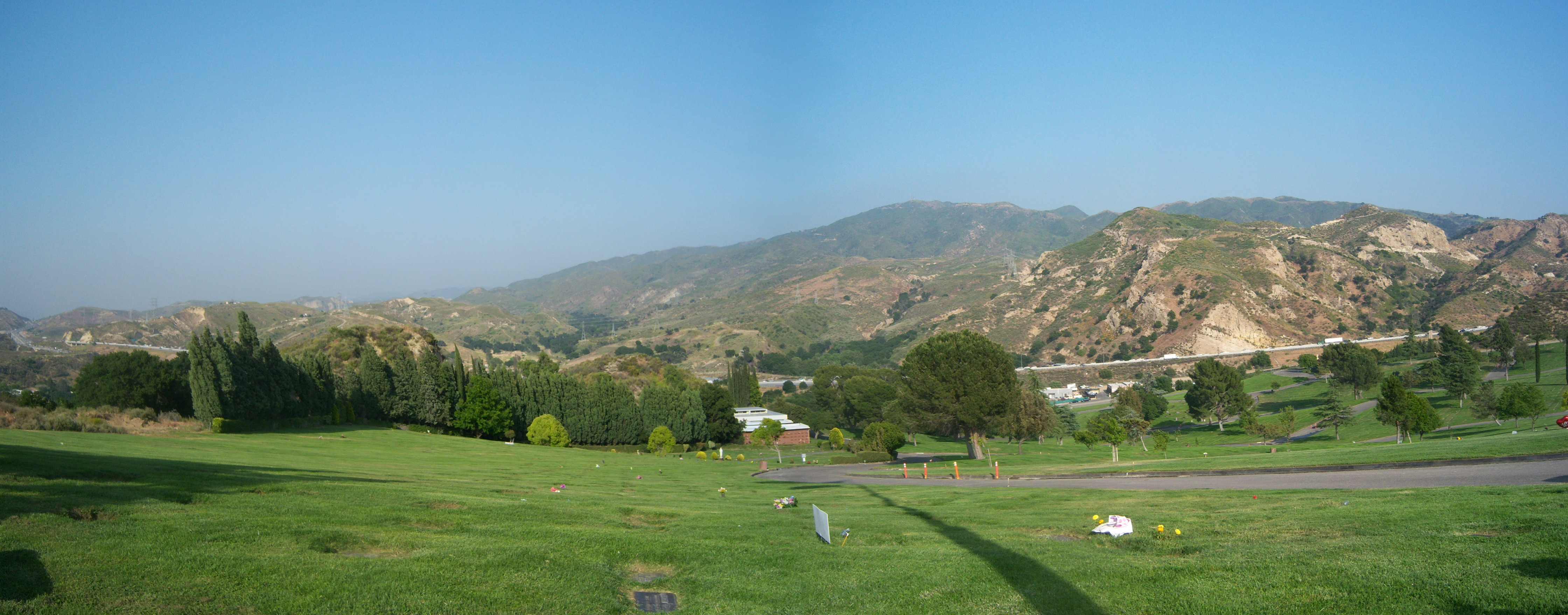
View from Eternal Valley Cemetery
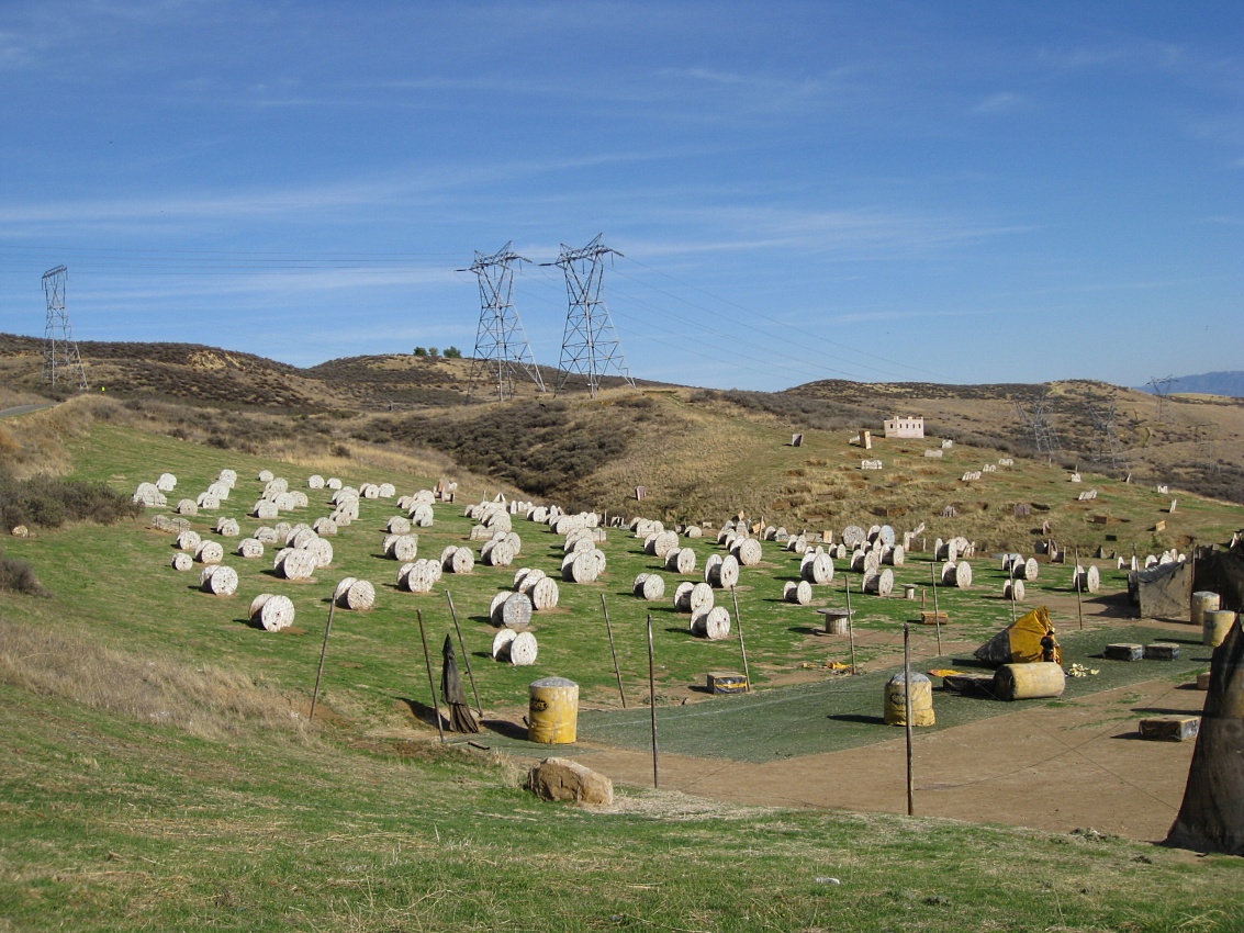
Castaic: I-5 Paintball Park (Baghdad) 1476a
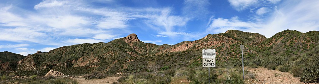
California Canyon County
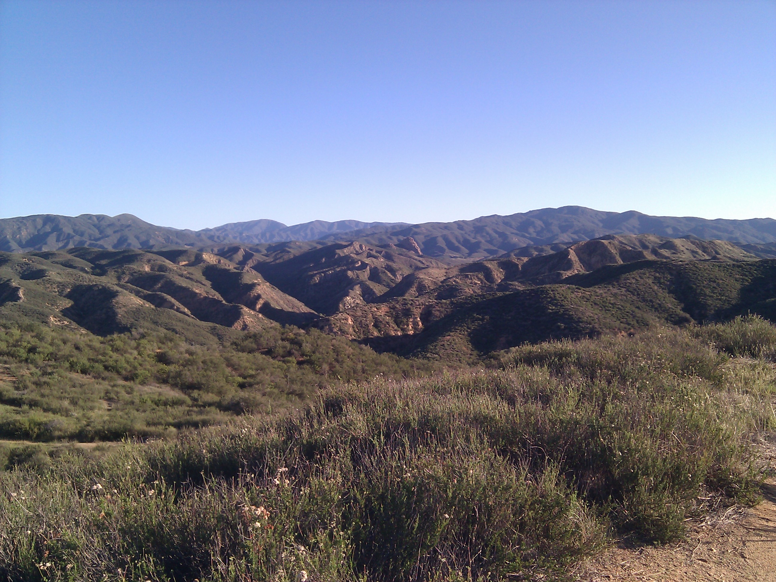
View from Upper G-Out MTB Trail

View from Upper G-Out MTB Trail
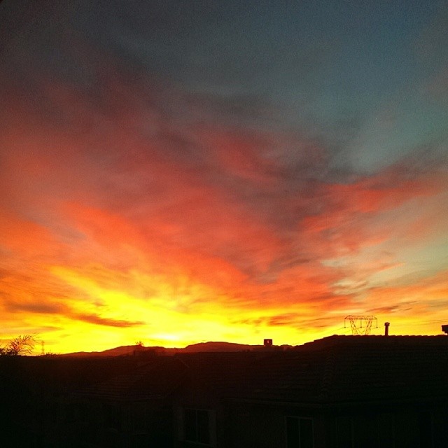
Tuesday morning #sunrise view from the bedroom.
View from Upper G-Out MTB Trail
Topographic Map of Valencia, Santa Clarita, CA, USA
Find elevation by address:

Places in Valencia, Santa Clarita, CA, USA:
Places near Valencia, Santa Clarita, CA, USA:
24308 La Montura Dr
Valencia, CA, USA
28005 Memory Ln
22931 Banyan Pl
28323 Seco Canyon Rd
22707 Copper Hill Dr
27716 Bridlewood Dr
The Old Rd, Castaic, CA, USA
27908 Ron Ridge Dr
Pinewood Court
N Bluesky Way, Castaic, CA, USA
31214 Arena Dr
Castaic
27656 Redwood Way
32031 Emerald Ln
29036 St Tropez Pl
30508 Terraza Ct
28780 Shadow Valley Ln
32615 The Old Rd
32738 The Old Rd
Recent Searches:
- Elevation of Corso Fratelli Cairoli, 35, Macerata MC, Italy
- Elevation of Tallevast Rd, Sarasota, FL, USA
- Elevation of 4th St E, Sonoma, CA, USA
- Elevation of Black Hollow Rd, Pennsdale, PA, USA
- Elevation of Oakland Ave, Williamsport, PA, USA
- Elevation of Pedrógão Grande, Portugal
- Elevation of Klee Dr, Martinsburg, WV, USA
- Elevation of Via Roma, Pieranica CR, Italy
- Elevation of Tavkvetili Mountain, Georgia
- Elevation of Hartfords Bluff Cir, Mt Pleasant, SC, USA