Elevation of Copper Hill Dr, Santa Clarita, CA, USA

Location: United States > California > Los Angeles County > Santa Clarita >

Longitude: -118.53194

Latitude: 34.460906

Elevation: 421m / 1381feet

Barometric Pressure: 96KPa

Elevation Map:

elevation map of Copper Hill Dr, Santa Clarita, CA, USA

Satellite Map:

Satellite map of Copper Hill Dr, Santa Clarita, CA, USA

Related Photos:

la losangeles cityscape sanfernandovalley jeffmuth
Down Town L. A. From Oat Mountain
instagramapp square squareformat iphoneography uploaded:by=instagram
Sunrise view from the Valencia hills on my morning trail run.
sky orange fire wind smoke palm explore palmtree brushfire blowininthewind wildfire santaclarita aguadulce yahoonews saugus castaic canyoncountry scv 5000views santaanas explored buckweedfire danwatsonphotography nothingsignified
Santa Clarita, California. 10.21.07.
mountain valencia geotagged disneyland flag magic favorites shot4 magicmountain 199605disneyland 610216530442 negpage0168 roll861 cd35 geo:country=unitedstatesofamerica image:shot=4 geo:state=ca camera:make=nikon 1996april event:type=disneyland image:rating=2 camera:model=nikon event:code=199605disneyland roll:num=861 roll:type=gold1005 roll:envelope=122300 neg:page=0168 geo:city=valencia Image:CD=3516 event:Group=traceywb cd:id=610216530442 cd:num=35 address:Tag=magicmountain image:CD=35016 image:CDID=610216530442 image:NegPage=0168 image:Roll=861
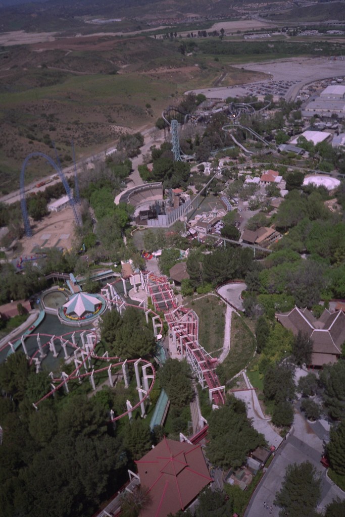
Magic Mountain, Six Flags
world california ca camera travel copyright tourism apple nature beautiful digital america canon matt bench landscape outdoors photography flickr raw view hiking exploring united adventure trail states dslr lightroom hovland santaclarita scenicview greatoutdoors 650d t4i canon650d elsmerecanyon canont4i
Elsmere Canyon in Santa Clarita, CA
light sunset rain barrels arena santaclaritaca donebrookfarms yesweknowweareshootingintothelight
No Barrel Racin' today... just rain!
california kite texture children downtownla digitalphotography lasunrise ilovela creativephotography canoneosdigitalslr “flickraward” discoverlosangeles rebelt2i albertvalles castaiclakepark girlplayingwiththediscovery
Palying with the Discovery!
sky rooftop rain clouds rainbow afternoon cloudy hills santaclarita bessknight projectweather knightimecreationsbybess
1ST RAIN IN 6 MONTHS (EXPLORE 2014 Nov 7)
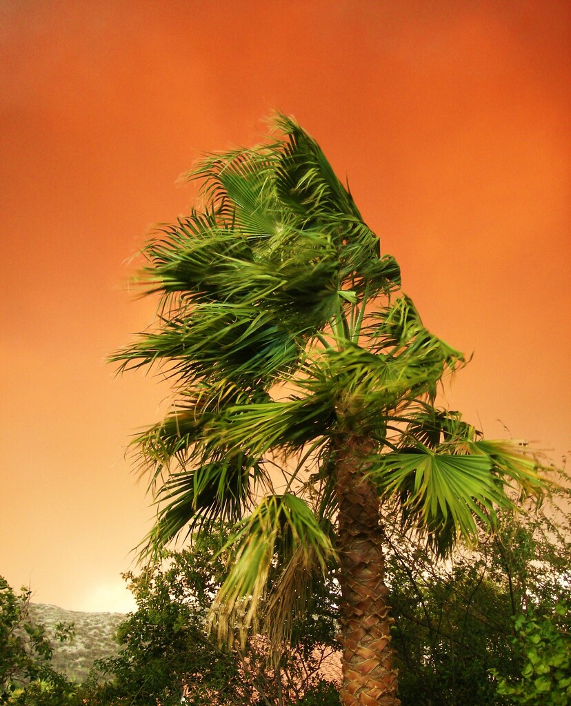
california above sunset shadow sky orange usa sun sunlight mountain mountains field cali digital dark nikon shadows view unitedstates sundown dusk unitedstatesofamerica sunny depthoffield clear pointofview beyond mountainview depth californian settingsun mountainrange d600 castonguay nikond600 beyondtheprism jpcastonguay jeanphilippecastonguay stevestonranch
Wild Mountain Honey
square lofi squareformat iphoneography instagramapp uploaded:by=instagram foursquare:venue=4d4480391b62b1f7508ff3e2
View from #Tapia canyon #mountain
california santa red storm valencia fire smoke country canyon southern burning clarita
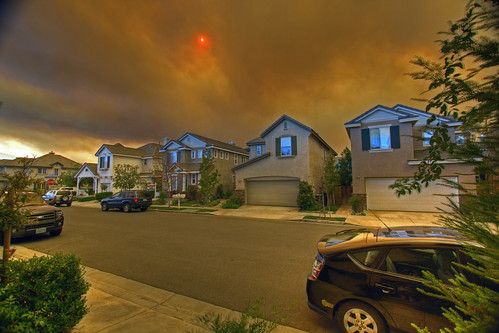
Canyon Country Fire, Santa Clarita, California
canon landscape interesting hike castaiclake canonpowershota590is
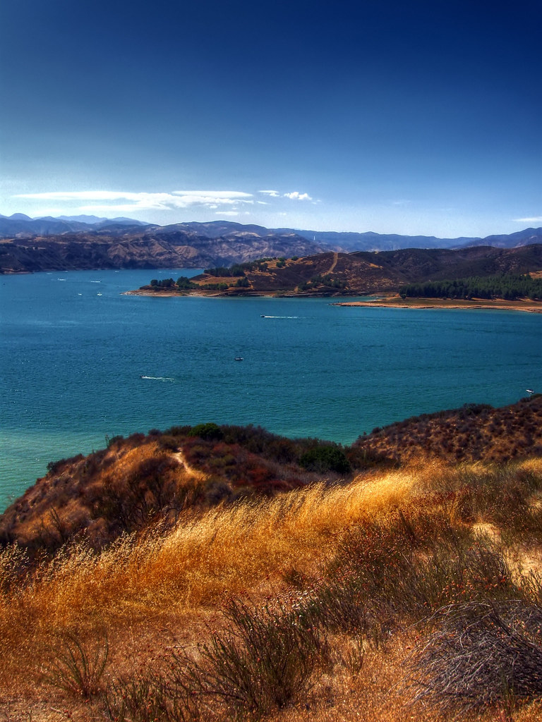
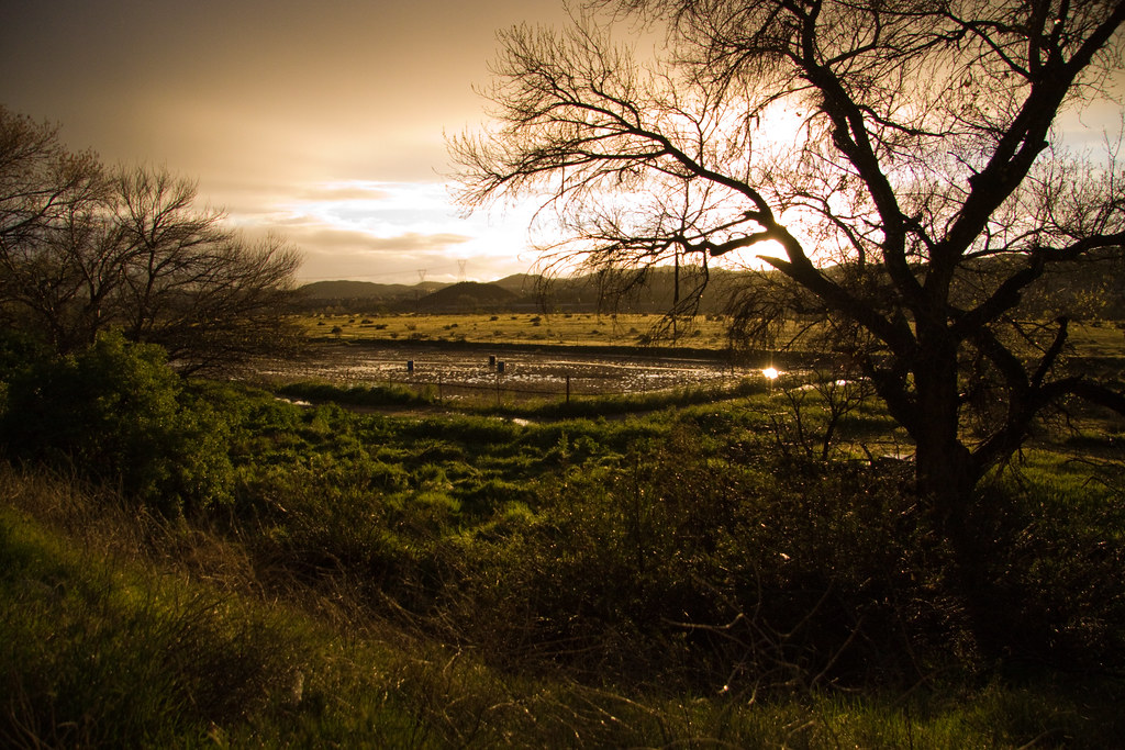
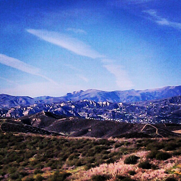
Overlooking Castaic Lake
square squareformat rise iphoneography instagramapp uploaded:by=instagram foursquare:venue=4c38b0b61e06d13a942d783e
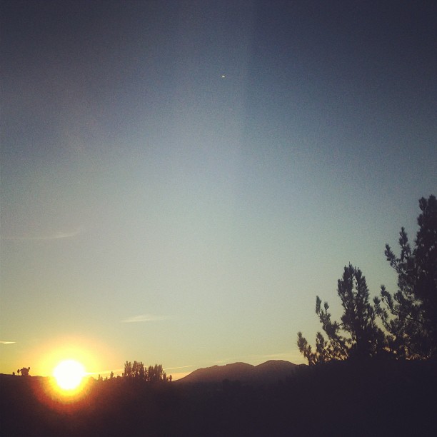
#sunrise #series #valencia #view from window good saturday #morning
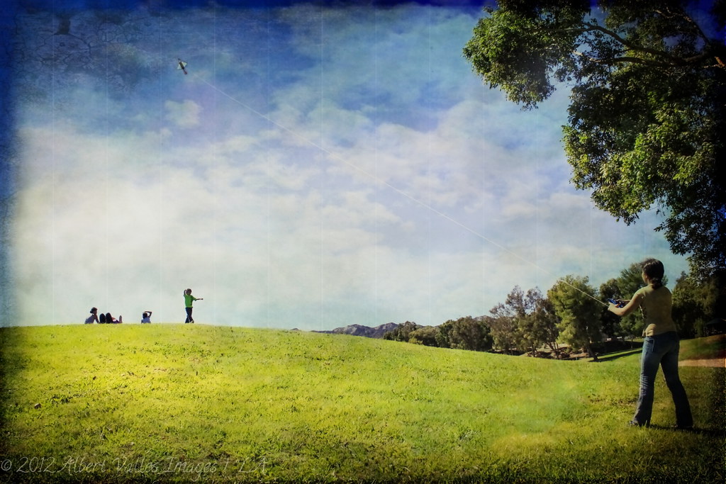
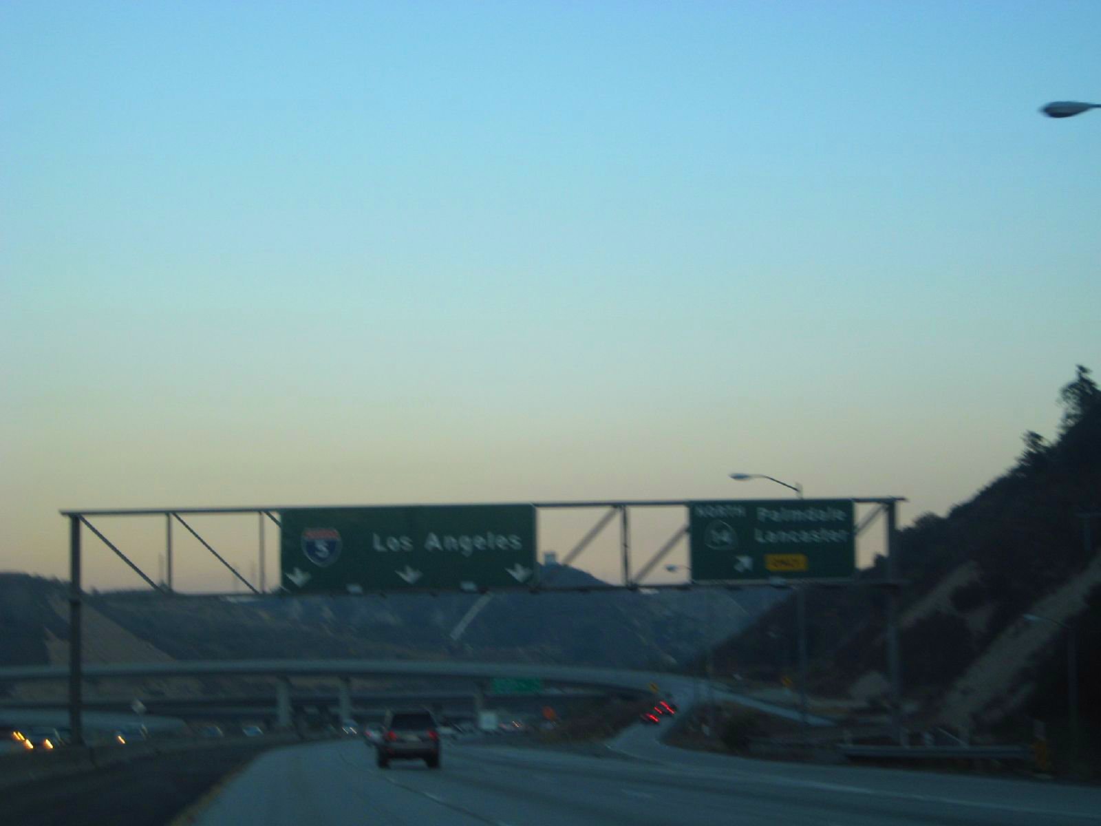
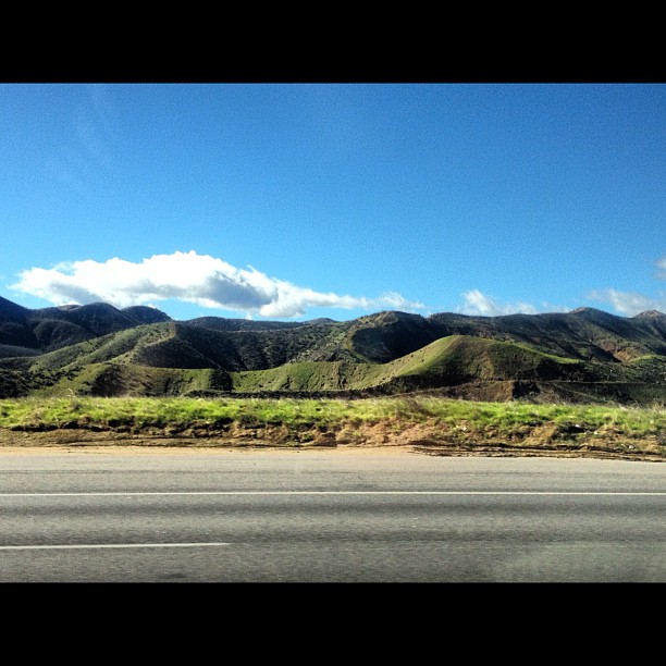
street mountains clouds work wow landscape losangles
my way to work
california losangeles i5 olympus infrastructure dslr zuiko 43 spillway interstate5 sylmar losangelescounty watersupply thecascades zd fourthirds 40150mm f456 losangelesaqueduct e410 chrisgrossman zuiko40150mmf456 secondlosangelesaqueduct
The Cascades - Second Los Angeles Aqueduct - Olympus E-410 - Zuiko 40-150mm F/4-5.6
square squareformat iphoneography instagramapp uploaded:by=instagram foursquare:venue=4bb7bfa31261d13a7dd0e798
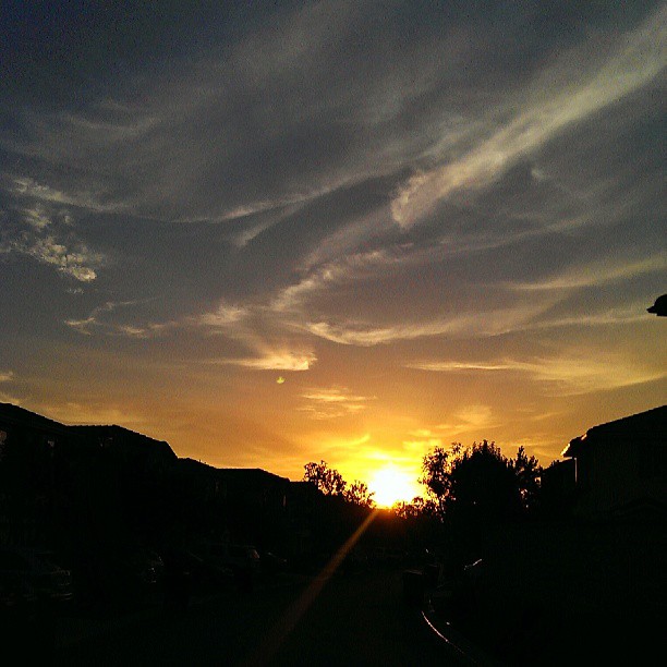
Saturday morning #sunrise view from the bedroom
california trip blue sky brown mountains green smog losangeles tour traffic i5 overpass hills valley views freeway farms guardrail hillside suv lightpost divided sanjoaquin excursion centralvalley interchange lanes grazed sightsee freewaysigns seqouianatlpk state14
down to LA smog
square squareformat normal iphoneography instagramapp uploaded:by=instagram foursquare:venue=4bb7bfa31261d13a7dd0e798
One more awesome #sunrise view
california nikon socal aquaduct losangelescounty castaic theoldroad castaiccalifornia nikond5100
Castaic Aquaduct View
square squareformat iphoneography instagramapp uploaded:by=instagram foursquare:venue=4d4480391b62b1f7508ff3e2
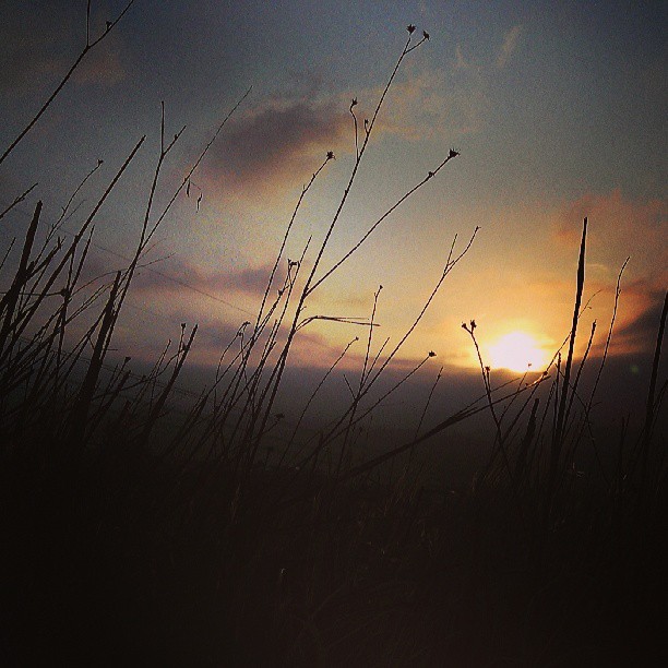
#sunrise view on my morning #trail #run to #Tapia Canyon
square squareformat normal htc iphoneography instagramapp uploaded:by=instagram htcone foursquare:venue=4d4480391b62b1f7508ff3e2
Enjoying the smoky #sunset view from #Tapia Canyon
400mm california castaic losangeles wildfire castaiclake fineartphotojournalism fire haze incident lake mist morning nature panorama panoramic smoke steam sunrise wildlandfire
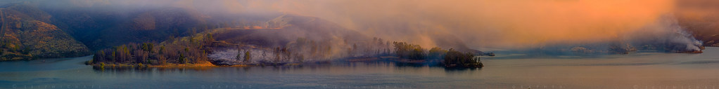
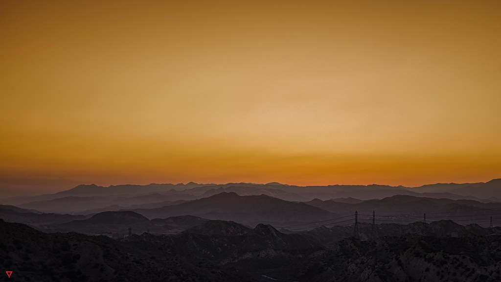
Castaic Lake Wildland fire sunrise panorama
bw white black monotone bnw sunsetcliffssunset cliffssandiegosan diegocaliforniacacliffbeachoceanpacificpacific oceansunsetdusksundownsocalwestcoastwaveslightroomrawcanoncanon650d650dt4icanont4idslrhovlandmatthovlandvacationtraveltourismadventuresceniclandscapescenerysunsummer diegocaliforniaca
San Diego, CA Monochrome
california longexposure bw white black detail water monochrome contrast digital silver landscape ir la blackwhite waterfall losangeles los nikon diptych long exposure angle angeles wide drinking aqueduct filter cascades infrared nik mountainside nikkor pour sanfernandovalley dwp schneider bustour clui 093 ladwp sylmar blacksky centerforlanduseinterpretation tapwater angeleno granadahills alienskin irfilter eyetwist efex bw093 losangelesaqueduct 1024mm d7000 capturenx2 silverefex eyetwistkevinballuff nikond7000 1024mmf3545g
the cascades, infrared diptych. sylmar, ca. 2013.
square squareformat iphoneography instagramapp uploaded:by=instagram foursquare:venue=4dbe0fc6f7b1ab37dd857156
On the other side
ucla water landscape aqueduct tonemapped mulholland dam cascades cascade
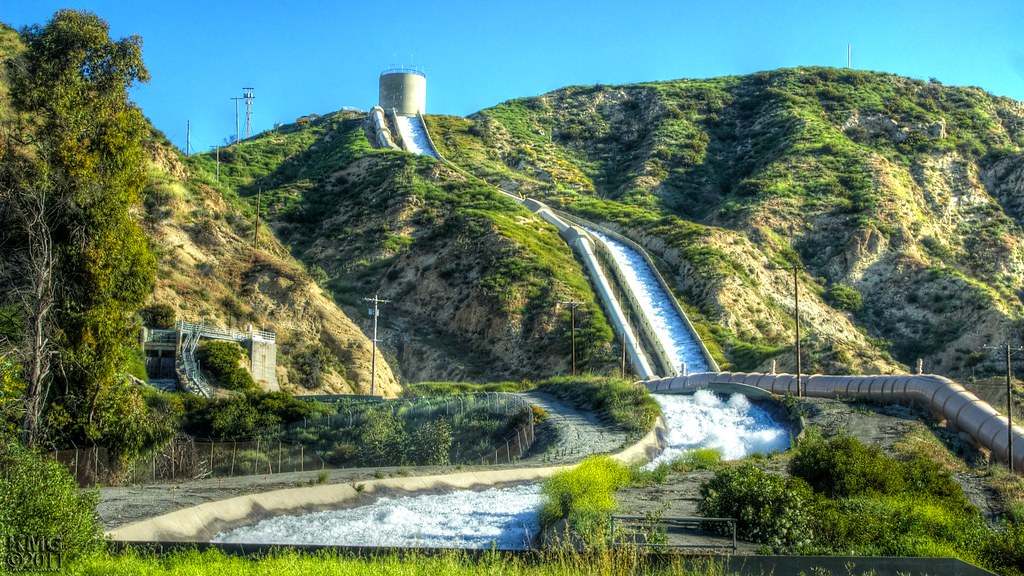
Cascades of LA Aqueduct and San Fernando Dam
santaclarita california unitedstates us
Upper Placerita Canyon
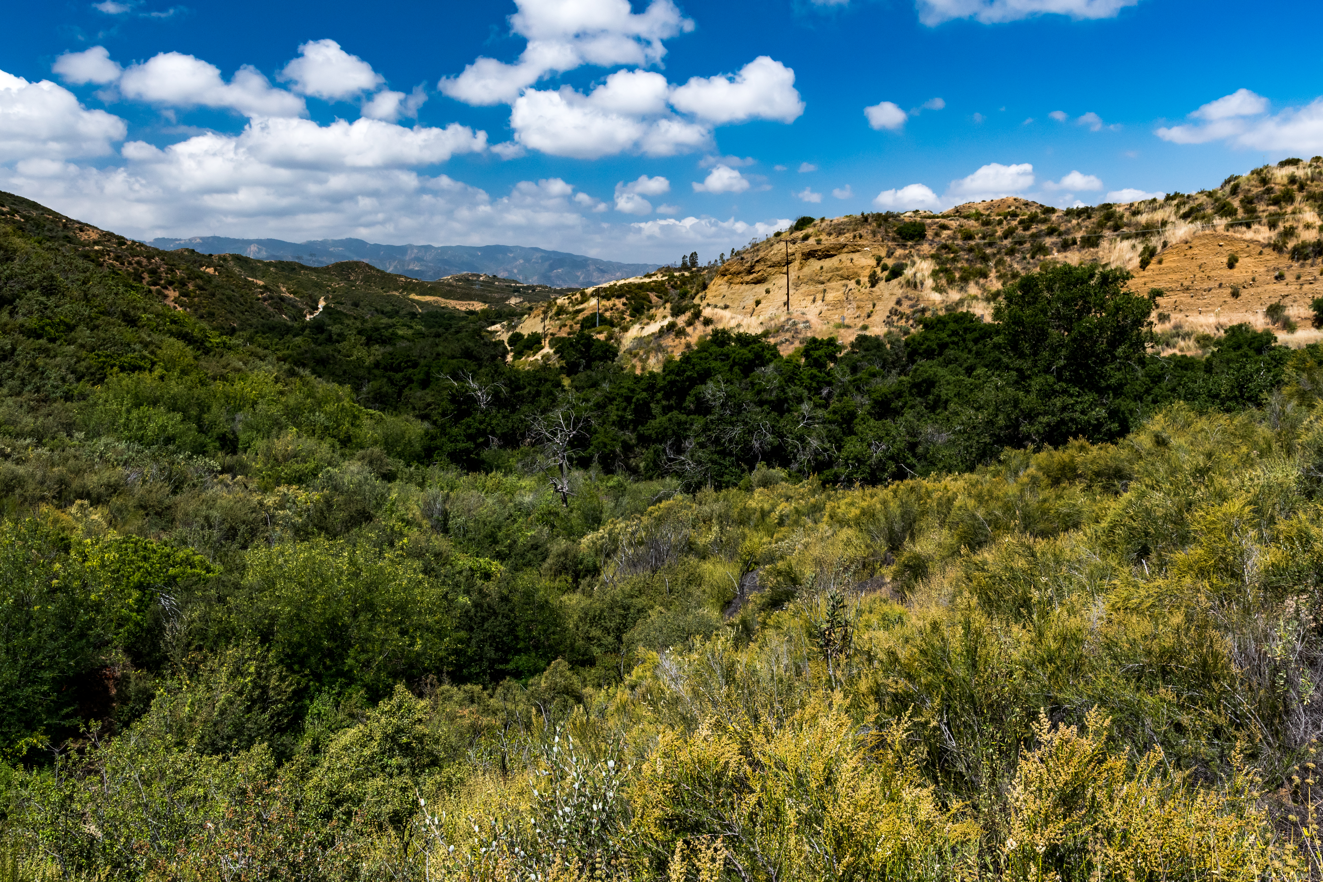
california unitedstates us
Placerita Canyon
Castaic 2017 - 02 The Lagoon
square squareformat iphoneography instagramapp xproii uploaded:by=instagram
Great Expanse
After the Fire
november autumn fall nature clouds canon outdoors hiking hills peaks southerncalifornia sl1 ridges sangabrielmountains angelesnationalforest losangelescounty placeritacanyonstatepark sigma18250mmf3563dcmacrooshsm
There's so much to know
square lofi squareformat iphoneography instagramapp uploaded:by=instagram
My Favorite Colors
california trees sun valencia fog submitted sunrise landscape 2009 muzzlehatch getchkb inttag
That Obdurate Morning
square squareformat normal iphoneography instagramapp uploaded:by=instagram
The Range
square squareformat normal iphoneography instagramapp uploaded:by=instagram
The Mist part deaux ✨✌✨