Elevation of Vía Nuve, Murrieta, CA, USA
Location: United States > California > Riverside County > Murrieta >
Longitude: -117.35934
Latitude: 33.5090647
Elevation: 615m / 2018feet
Barometric Pressure: 94KPa
Elevation Map:
Satellite Map:
Related Photos:

February Sky

#country #sky at the #lake #mountain #view

Unidentified Grass Skipper portrait R0182 San Juan Loop Trail, CA PFN

#country #sky at the #lake #mountain #view

The Day After the Last Day of Winter

My new #sunset and #stargazing #spot with a #lake #view

#evening #walk in the #country with a #lake view
Camera tricks
Murrieta Sunset

SRP 2012-11-021
Carrows Murrieta is now gone...
Water Green #2

Vesper Sparrow (Pooecetes gramineus)

C'mon... Who Want's a Kiss?

View of Durlings Nursery in Fallbrook CA 1
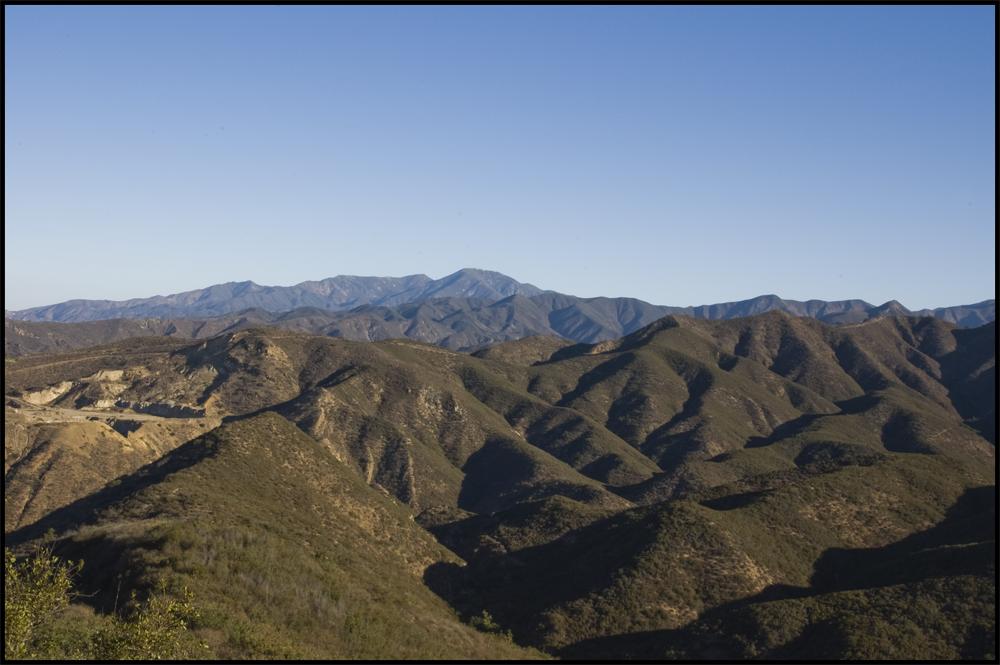
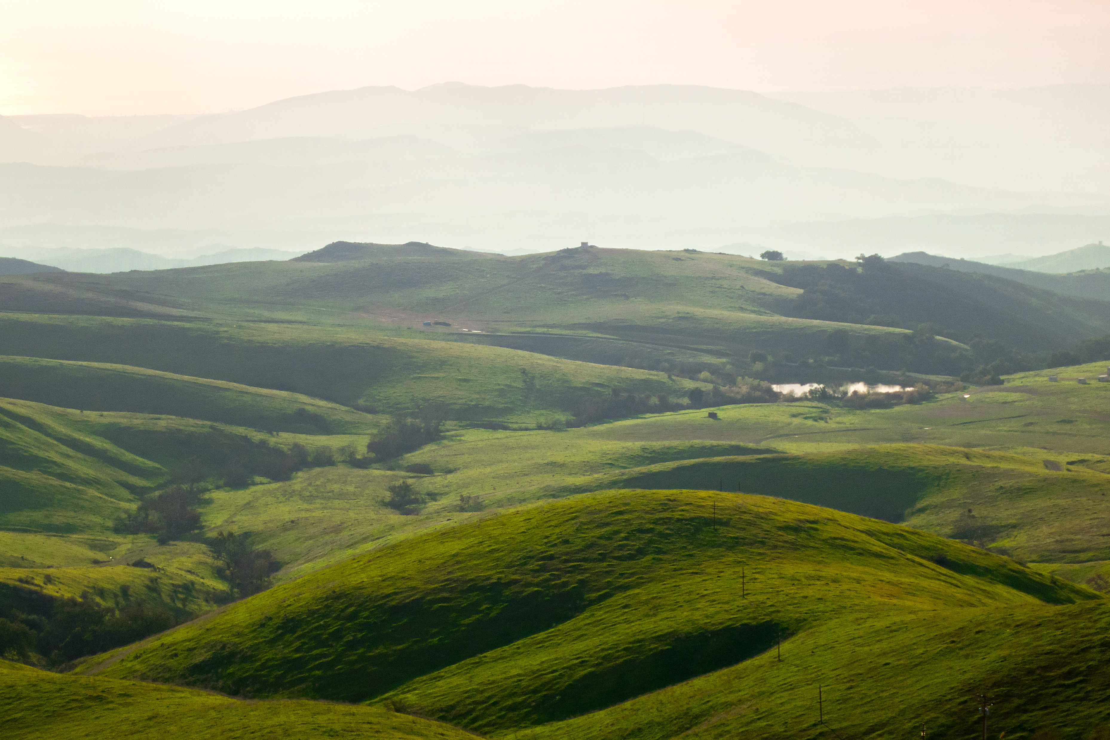
Mountain Range - Lake Elsinore, CA
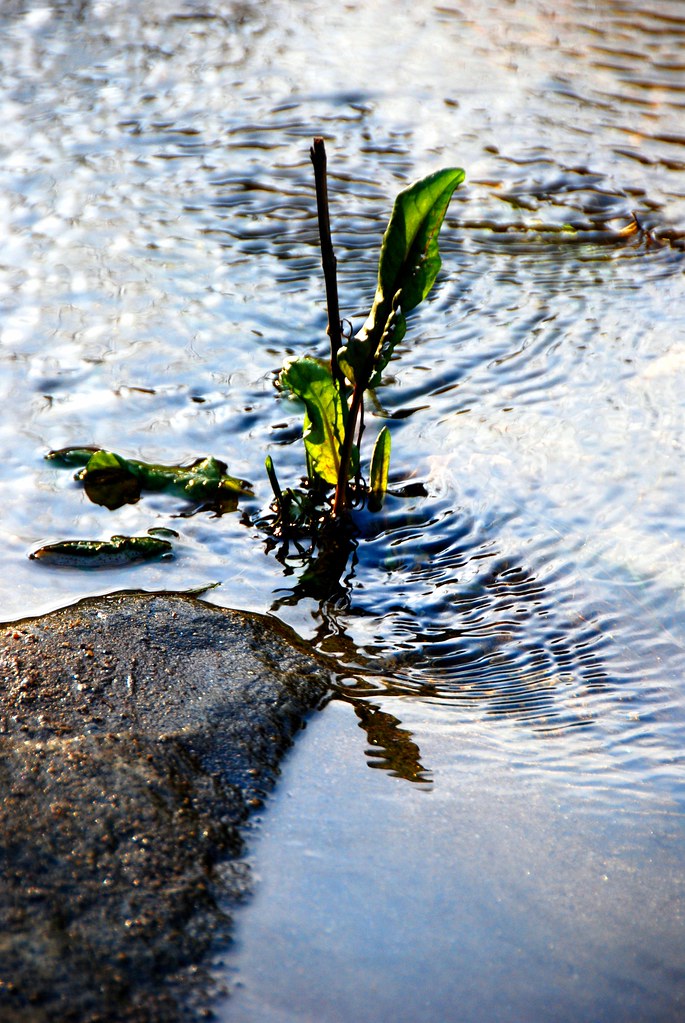
Water Green #1
SRP 2012-11-022
Tenaja Falls 04-09 IMG_2989
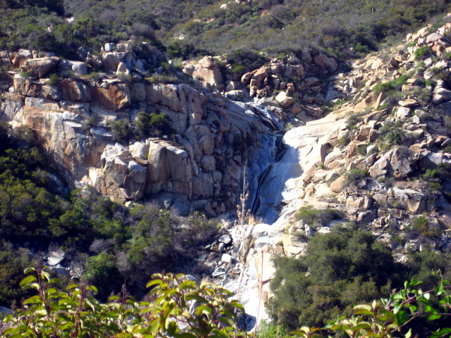
Tenaja Falls 04-09 IMG_2975
Tenaja Falls 04-09 IMG_2991
Santa Margarita Mountains and Pacific Ocean
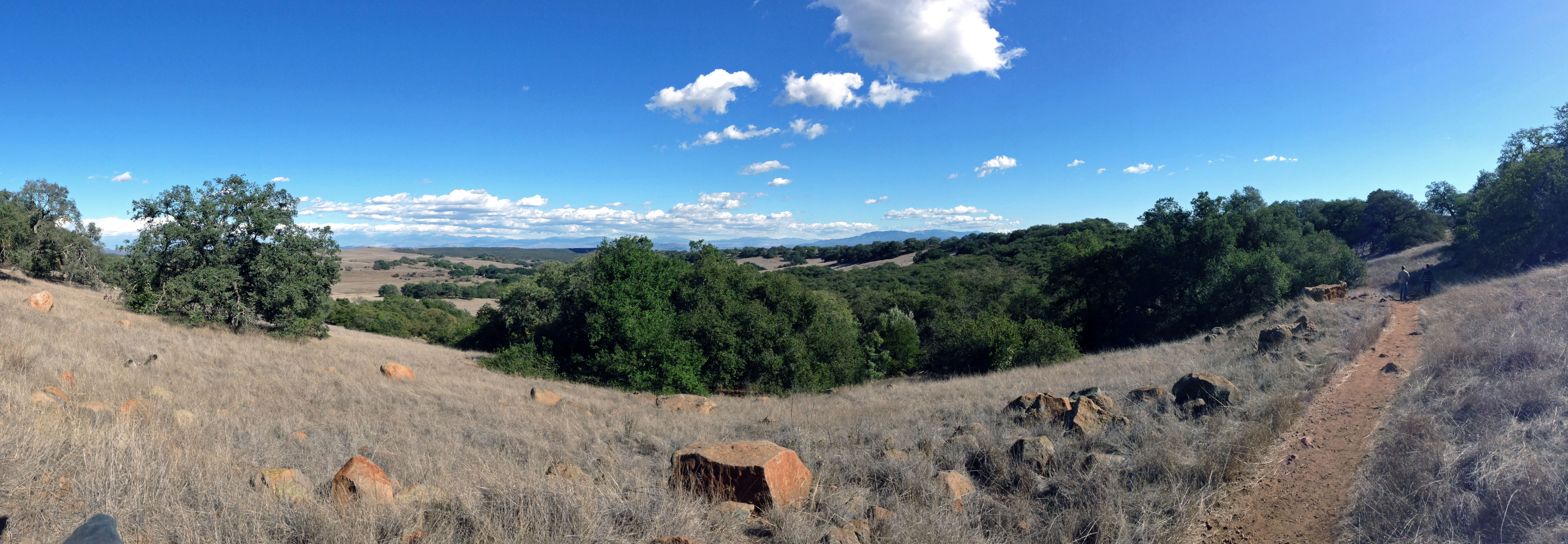
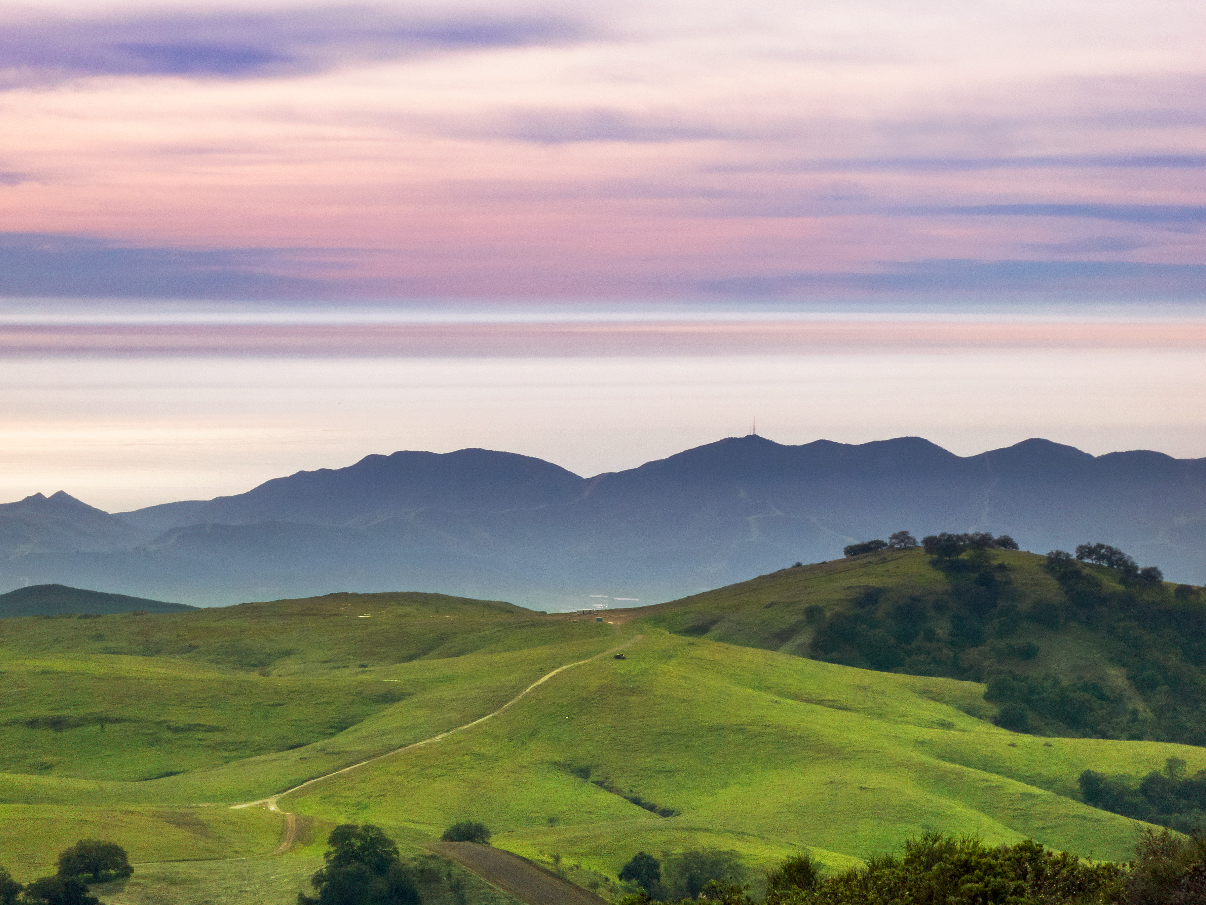
The Rolling Green West of Margarita
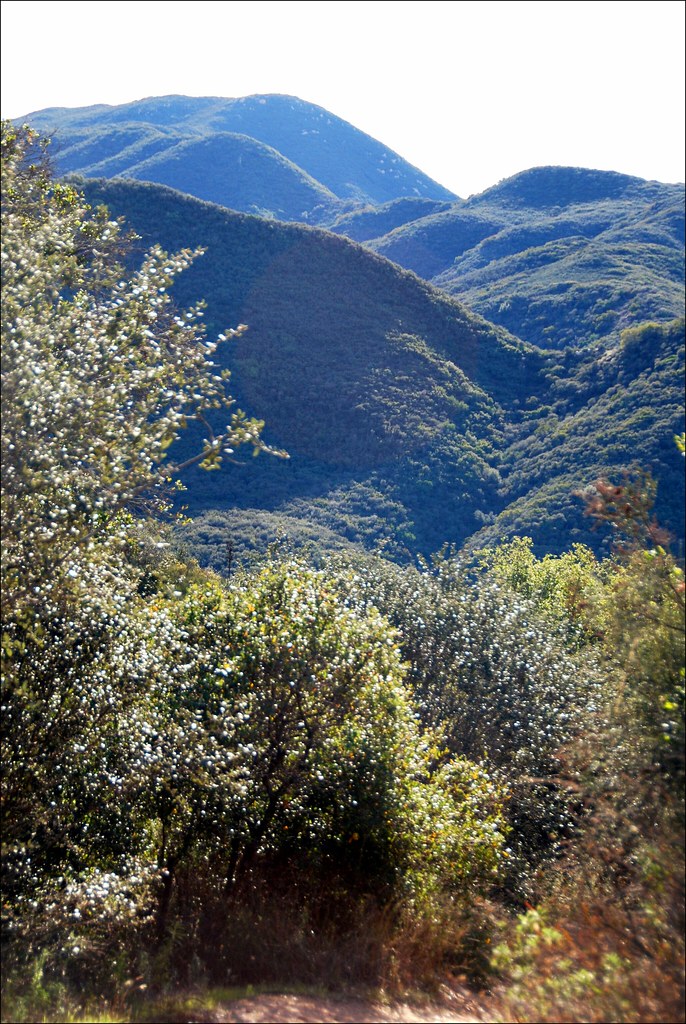
North to the San Mateo Wilderness

Yerba Santa, Santa Margarita Mountains
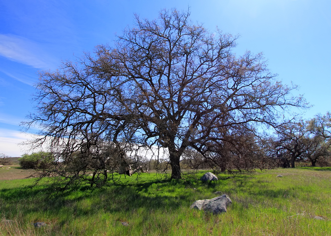
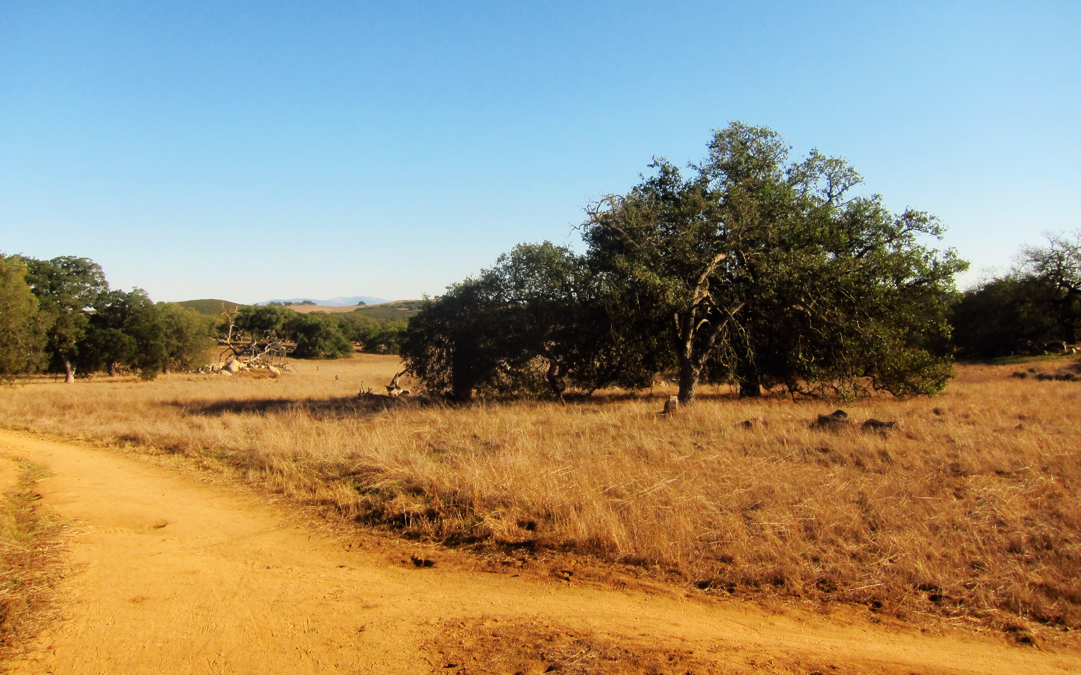
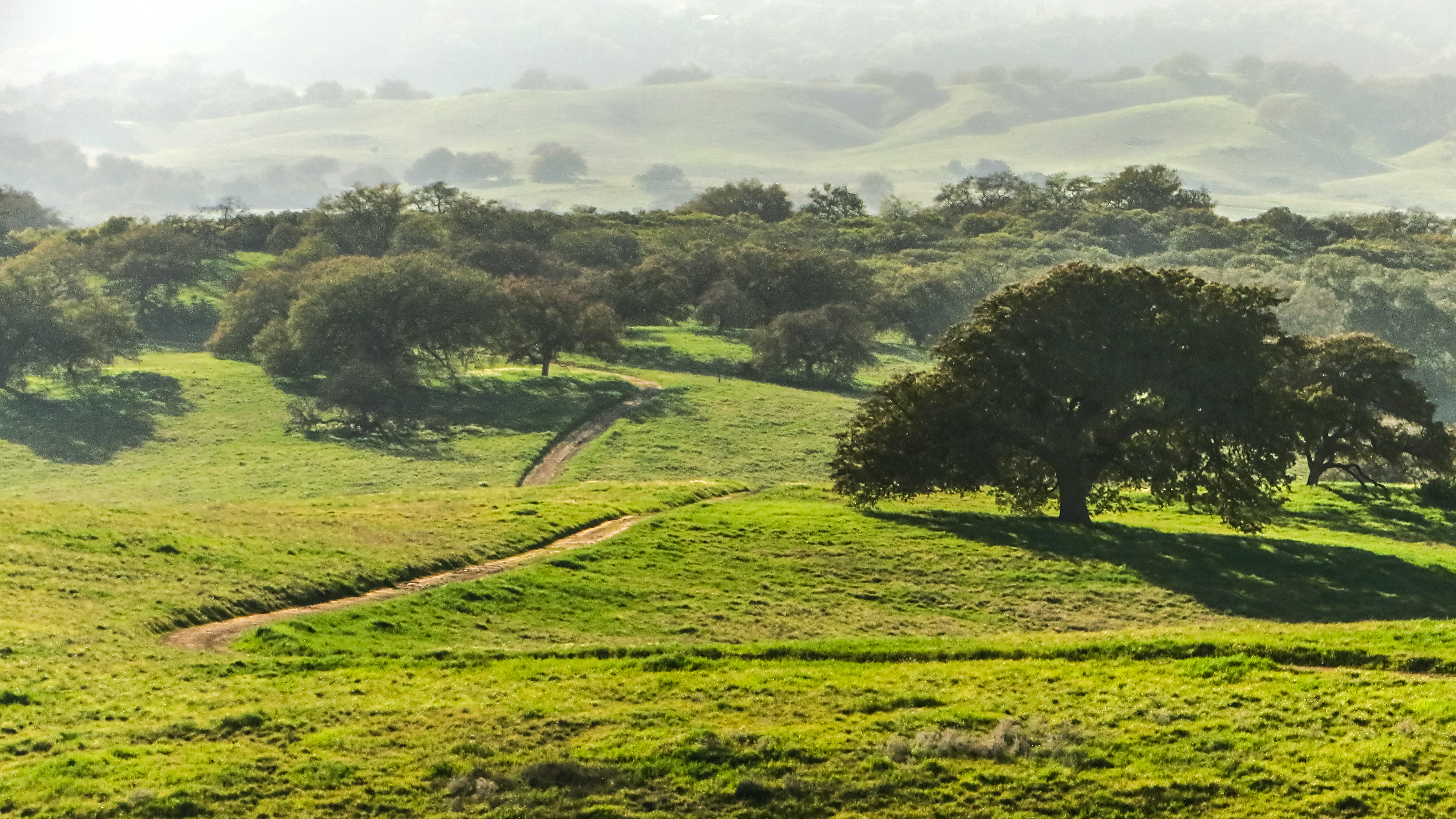
A Lone Oak on the Santa Rosa Plateau
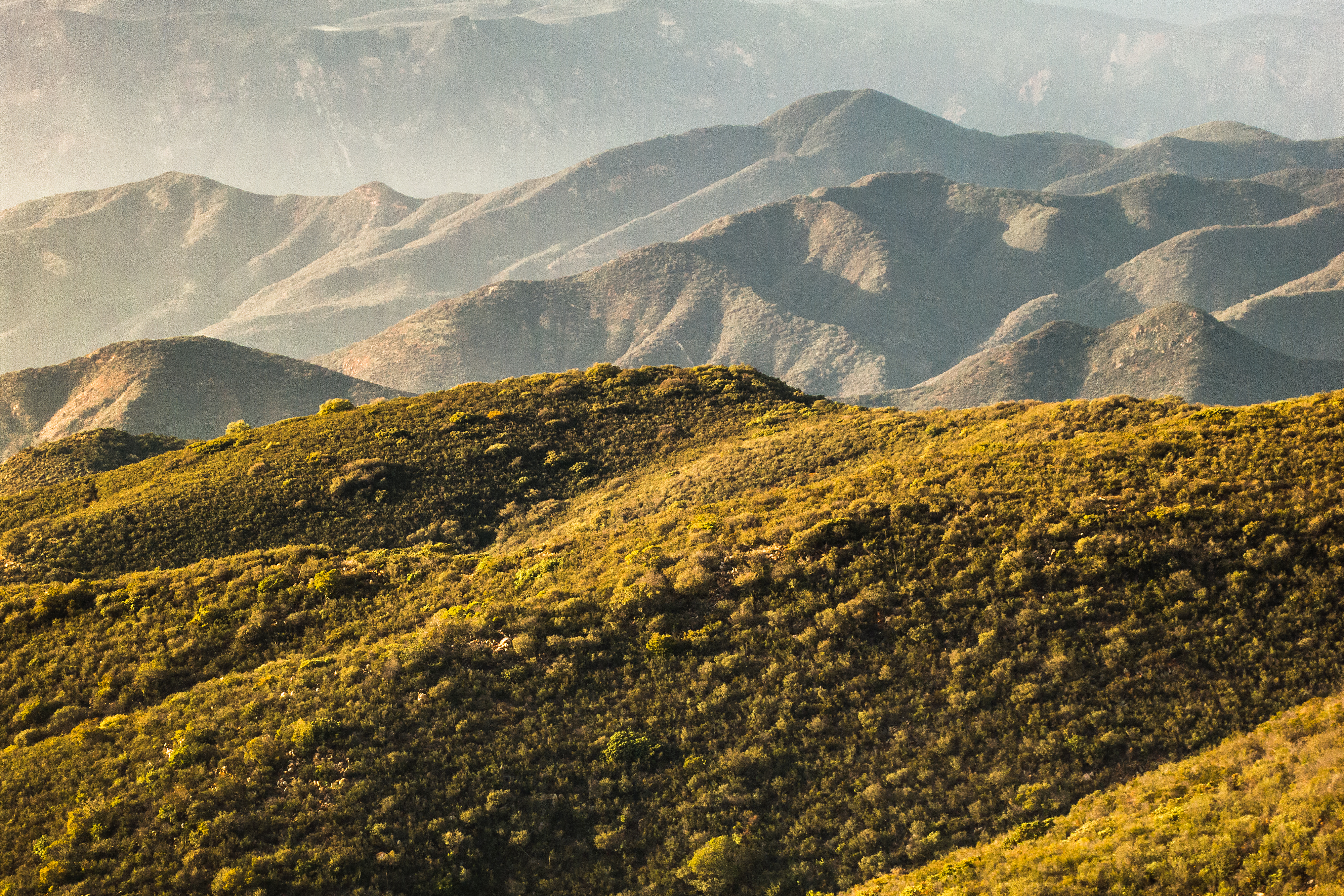
Mountains with Chaparral
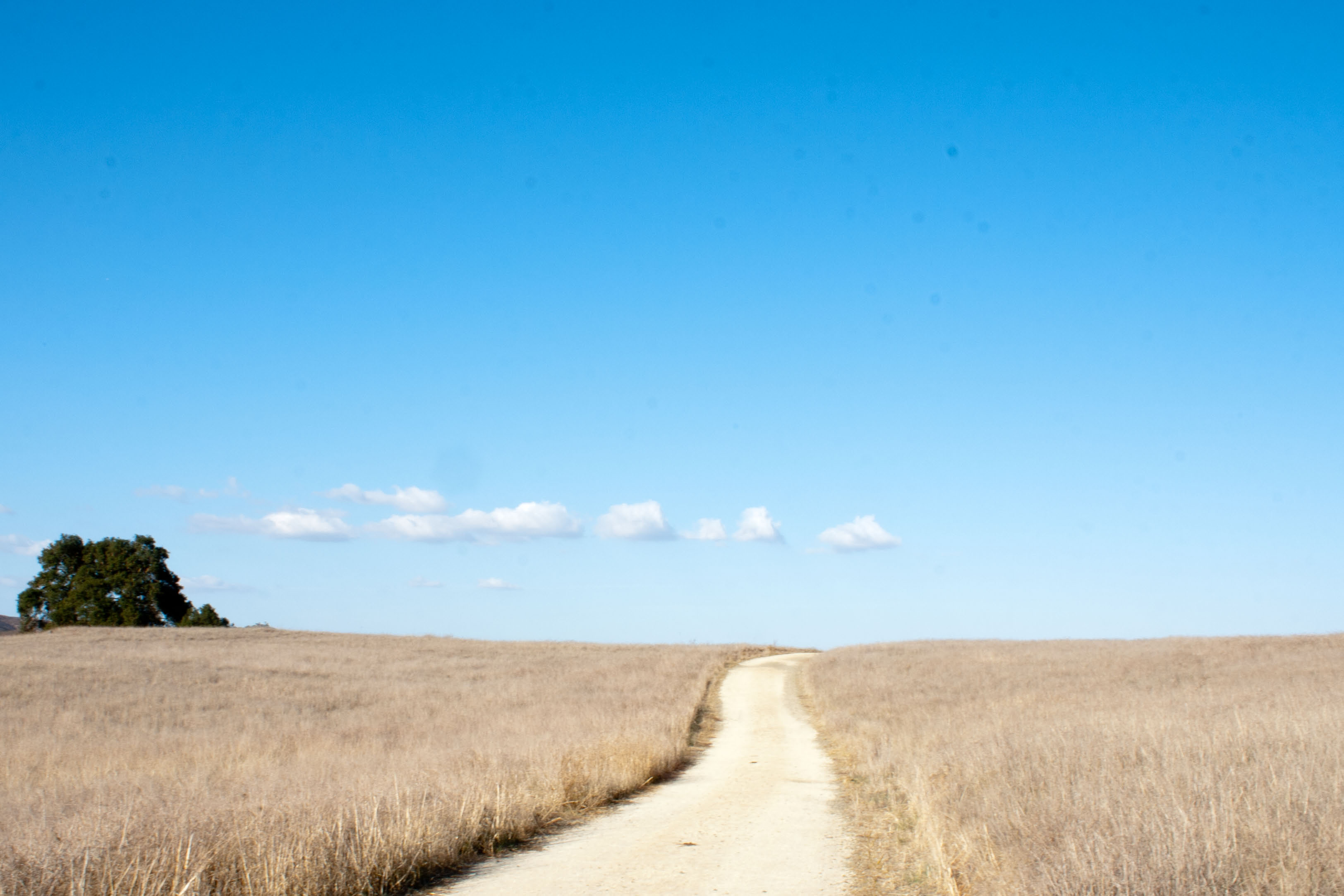
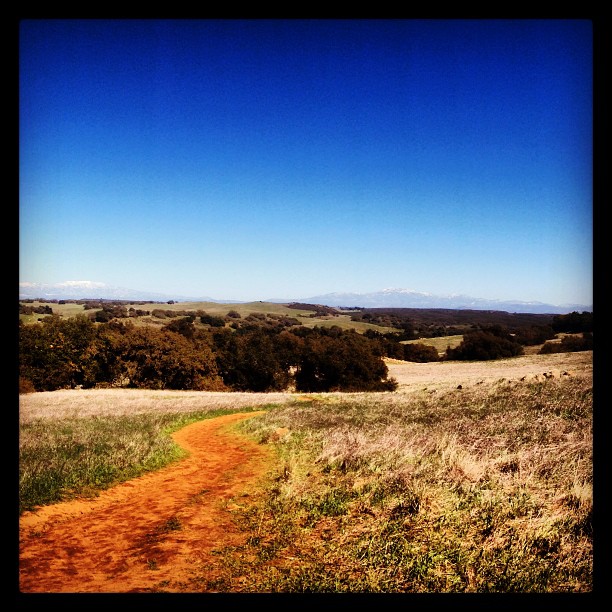
Road to the Horizon
Somewhere, Out There, I Still Wander

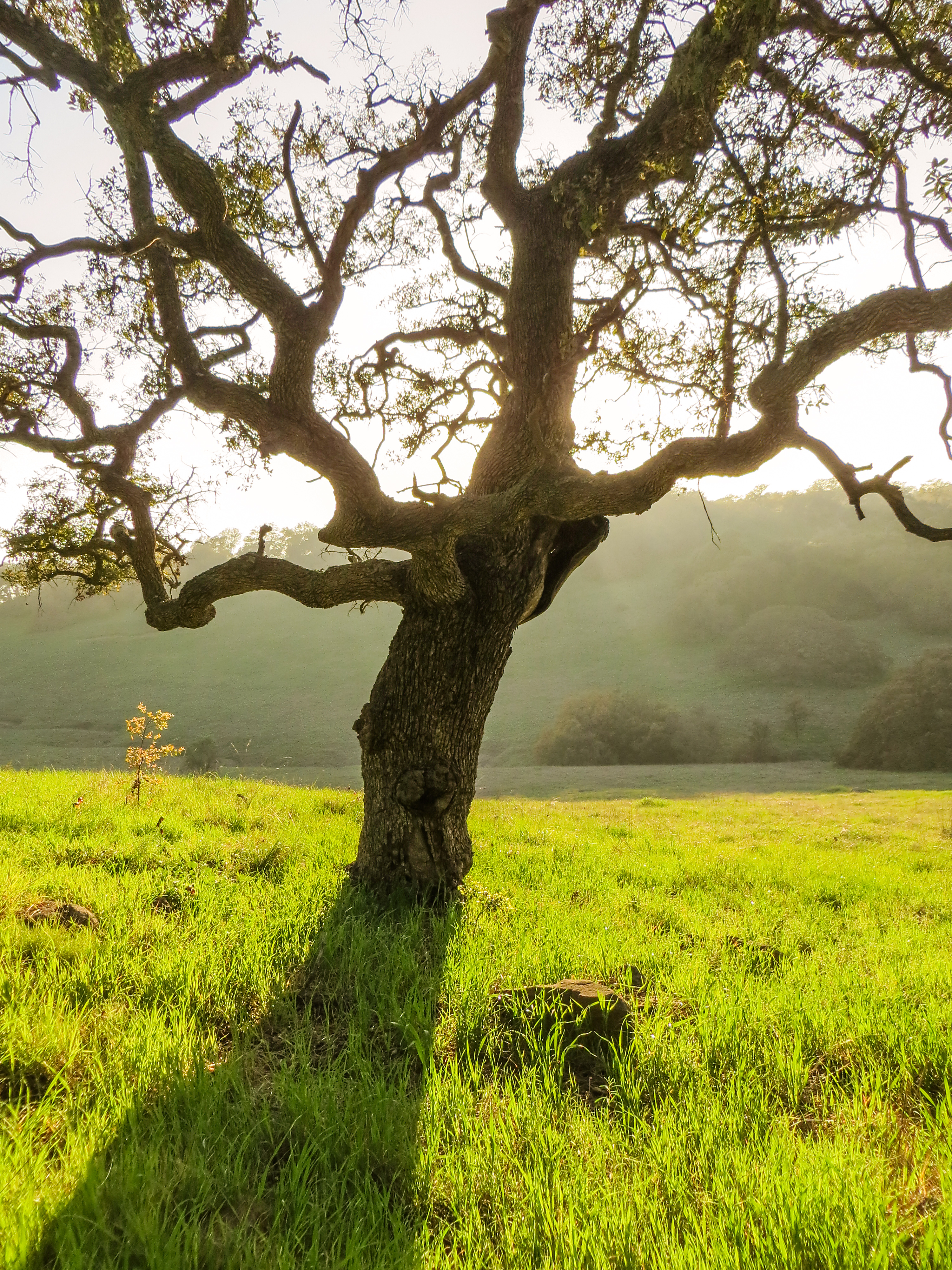
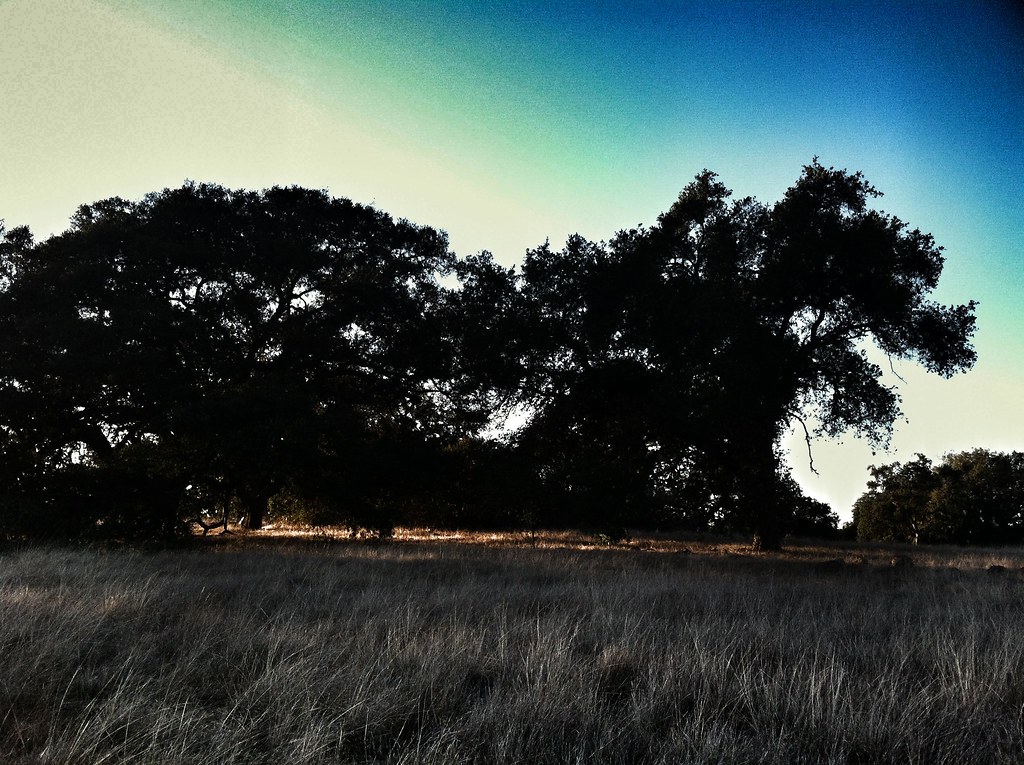
Fog shrouded Oak Tree
Springtime, Santa Rosa Plateau
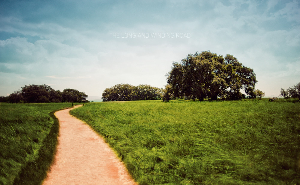
The Long and Winding Road

Blowing in the Wind
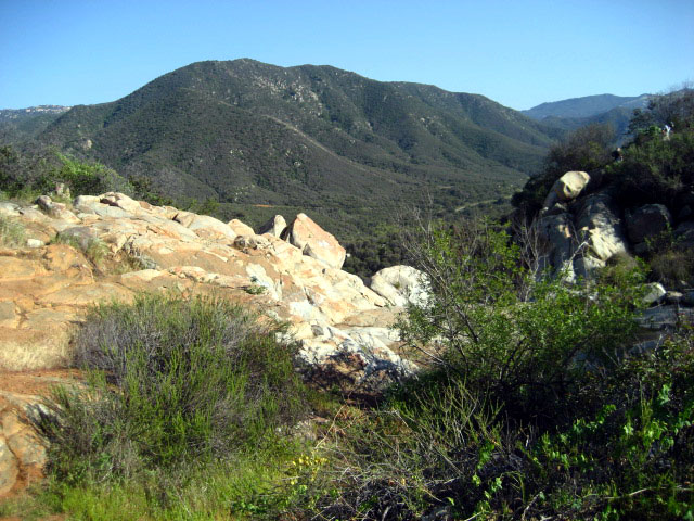
Another beautiful day at Santa Rosa Plateau!

#sunset at my #farm

Santa Rosa Plateau Vernal Pool (Explored)
Bear Canyon Trail "Soft Sculptures"
Santa Rosa Path
Santa Rosa 60
iPhone 4
To the place I belong, Project 365: 75/365
iPhone 4
Topographic Map of Vía Nuve, Murrieta, CA, USA
Find elevation by address:

Places near Vía Nuve, Murrieta, CA, USA:
41780 Cll Parama
Hacienda Dr, Murrieta, CA, USA
Tenaja Truck Trail
Cll De Suenos, Murrieta, CA, USA
44410 Los Gatos Rd
De Luz Murrieta Road
Carancho Rd, Temecula, CA, USA
Deluz
Avenida De Arboles, Murrieta, CA, USA
39819 Jones Rd
40150 Avenida Del Tiendas
21110 Lillian Ln
39339 Daily Rd
39400 Clinton Keith Rd
43689 Casalero Dr
43689 Casalero Dr
39184 Daily Rd
40436 Little Ross Rd
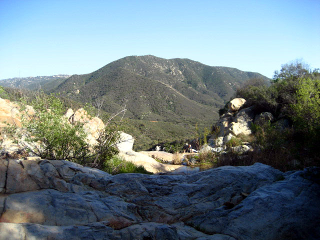
Santa Rosa Plateau
40505 Sandia Creek Dr
Recent Searches:
- Elevation of Corso Fratelli Cairoli, 35, Macerata MC, Italy
- Elevation of Tallevast Rd, Sarasota, FL, USA
- Elevation of 4th St E, Sonoma, CA, USA
- Elevation of Black Hollow Rd, Pennsdale, PA, USA
- Elevation of Oakland Ave, Williamsport, PA, USA
- Elevation of Pedrógão Grande, Portugal
- Elevation of Klee Dr, Martinsburg, WV, USA
- Elevation of Via Roma, Pieranica CR, Italy
- Elevation of Tavkvetili Mountain, Georgia
- Elevation of Hartfords Bluff Cir, Mt Pleasant, SC, USA