Elevation map of Uttarkashi, Uttarakhand, India
Location: India > Uttarakhand >
Longitude: 78.4751945
Latitude: 30.9286572
Elevation: 3454m / 11332feet
Barometric Pressure: 66KPa
Elevation Map:
Satellite Map:
Related Photos:
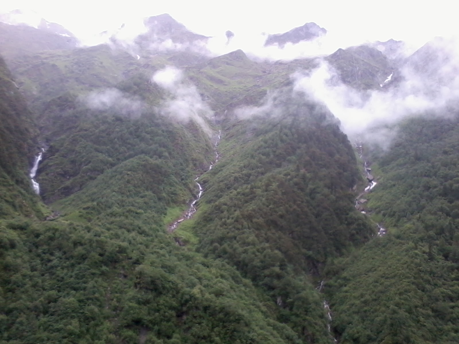
Streams @ Yamunotri
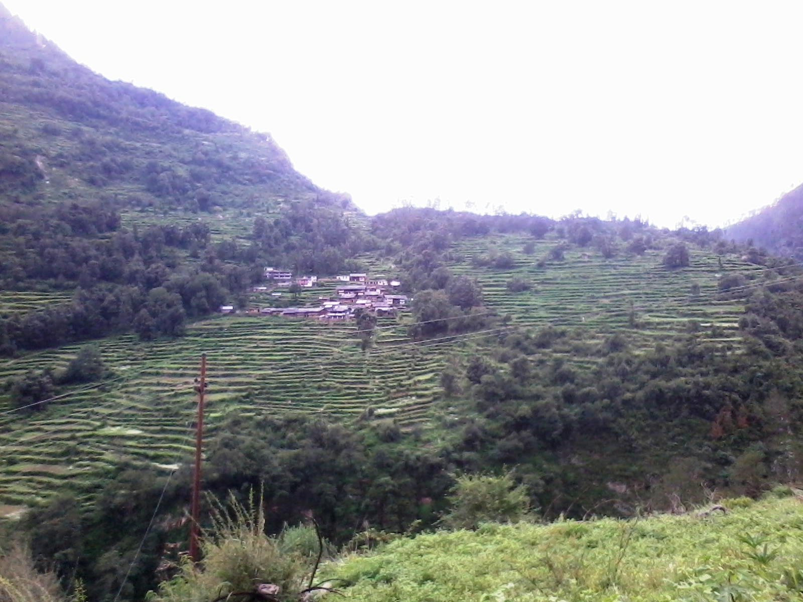
Steep Rice Field- Way to Yamunotri
Misty Mountain@ Yamunotri
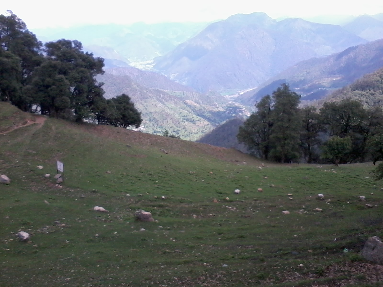
Hill Top Near Uttarakashi

Far From The Madding Crowd
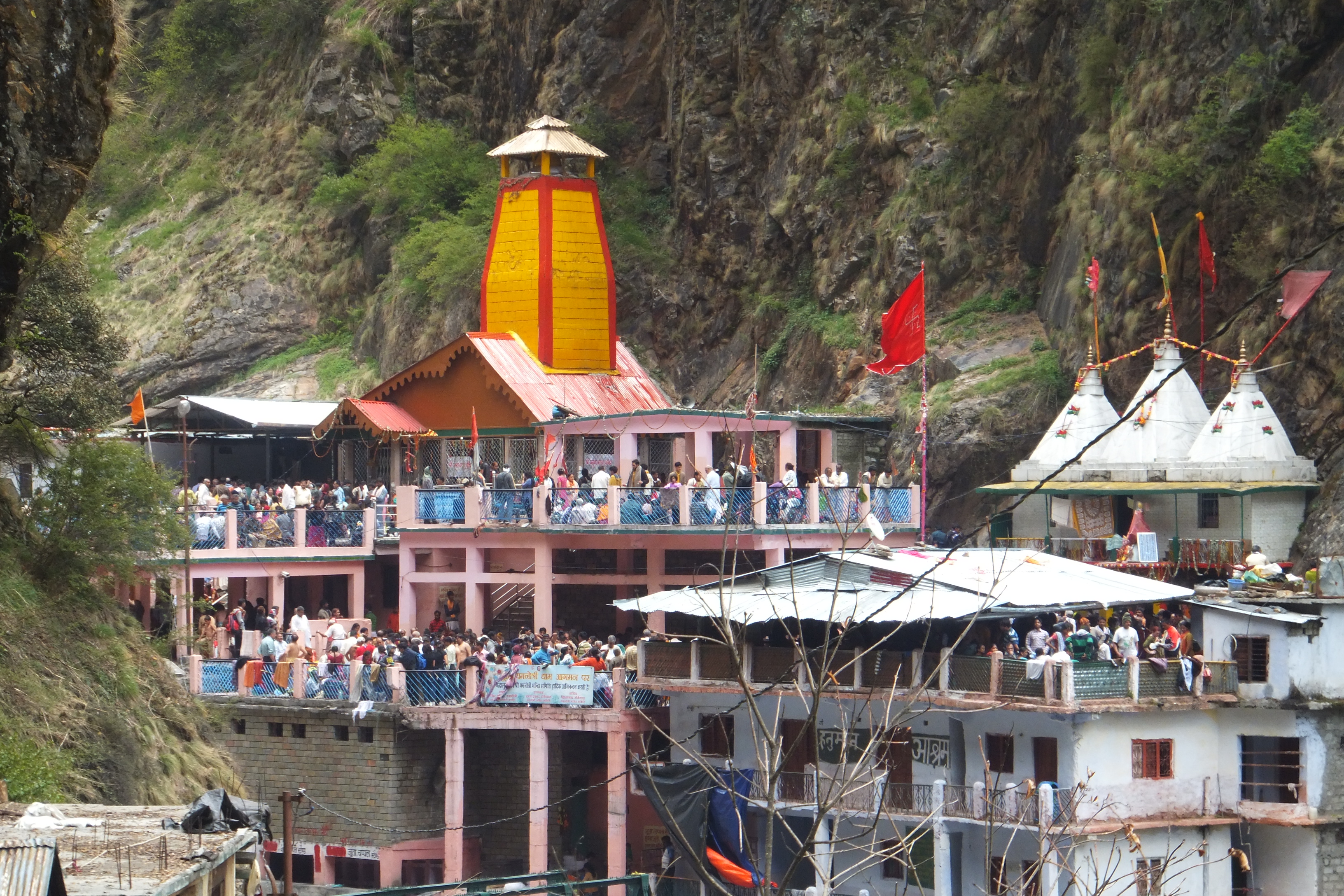
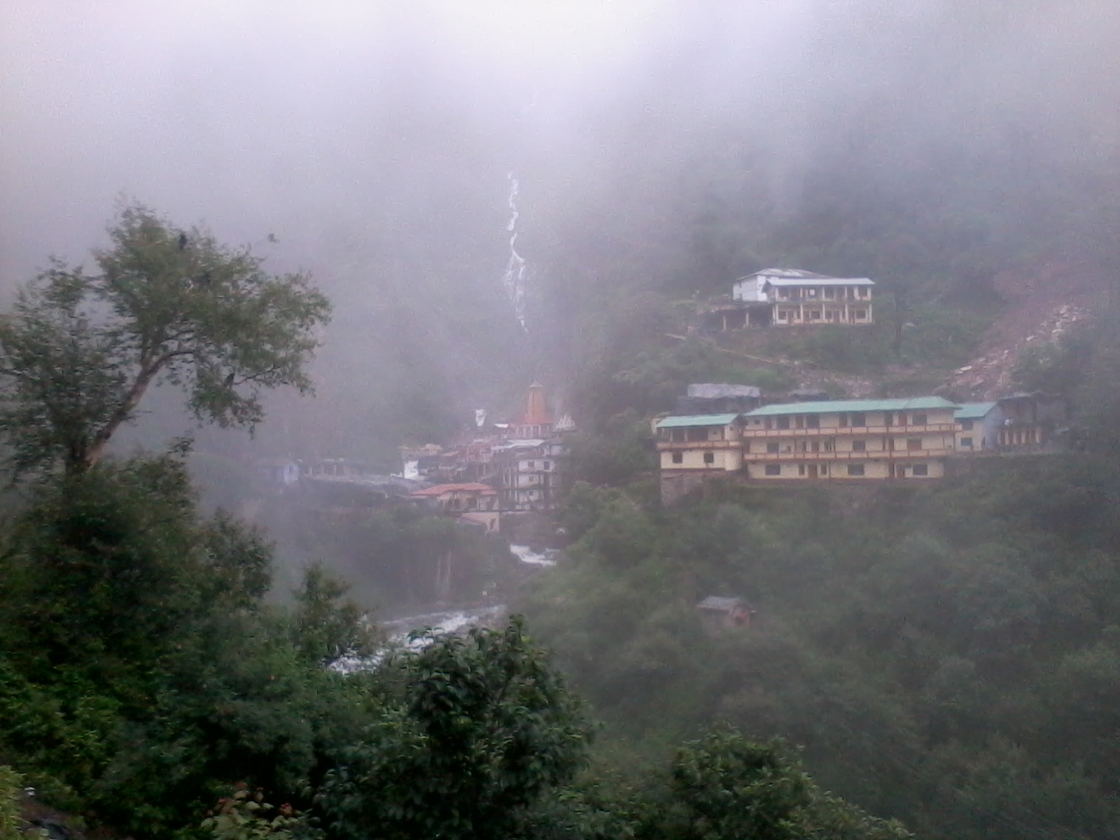
Yamnotri Temple
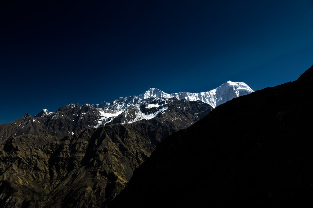
Just a peak (HDR)
Topographic Map of Uttarkashi, Uttarakhand, India
Find elevation by address:

Places in Uttarkashi, Uttarakhand, India:
Sankari Range
Supin Range
Barahat Range
Gangotri
Sankri
Taluka
Uttarkashi
Raithal
Nakuri
Matli
Kedarkantha
Purola
Hanol
Koti Banal
Dharali
Harsil
Dhaula - Sewa Road
Kalap
Yamunotri
Barkot
Hanuman Chatti
Tiuni
Places near Uttarkashi, Uttarakhand, India:
Dodital
Hanuman Chatti
Barahat Range
Dayara Bugyal
Raithal
The Goat Village
Uttarkashi
Matli
Nakuri
Sarnaul
Koti Banal
Barkot
Mukhem
Uttarakhand, India
Purola
Bhigun
Laluri
Kandikhal
Kaudia Range
Kanatal
Recent Searches:
- Elevation of Corso Fratelli Cairoli, 35, Macerata MC, Italy
- Elevation of Tallevast Rd, Sarasota, FL, USA
- Elevation of 4th St E, Sonoma, CA, USA
- Elevation of Black Hollow Rd, Pennsdale, PA, USA
- Elevation of Oakland Ave, Williamsport, PA, USA
- Elevation of Pedrógão Grande, Portugal
- Elevation of Klee Dr, Martinsburg, WV, USA
- Elevation of Via Roma, Pieranica CR, Italy
- Elevation of Tavkvetili Mountain, Georgia
- Elevation of Hartfords Bluff Cir, Mt Pleasant, SC, USA