Elevation of The Goat Village, Raithal, Uttarakhand, India
Location: India > Uttarakhand > Uttarkashi > Raithal >
Longitude: 78.6014823
Latitude: 30.8179698
Elevation: 2167m / 7110feet
Barometric Pressure: 78KPa
Elevation Map:
Satellite Map:
Related Photos:

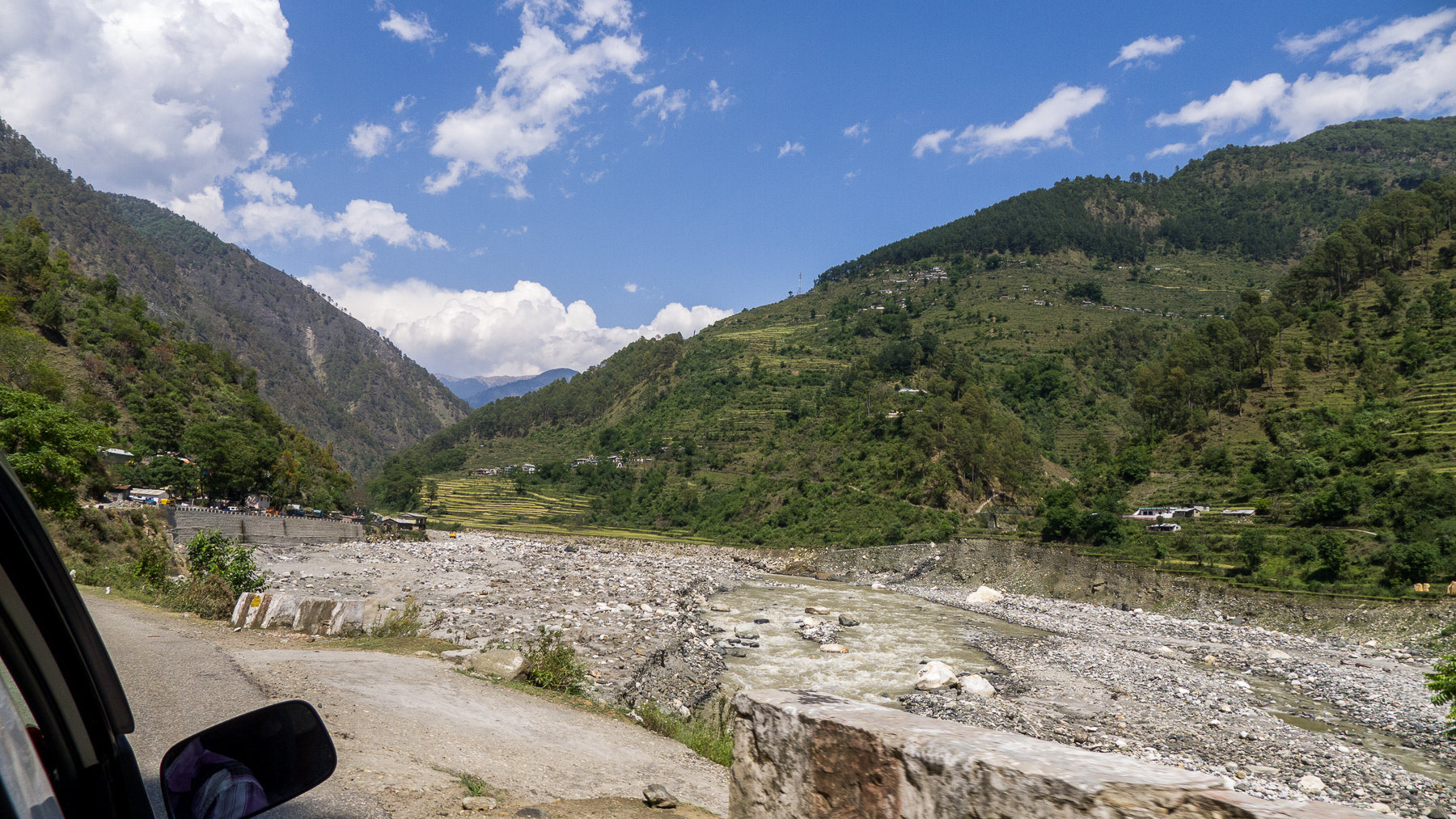
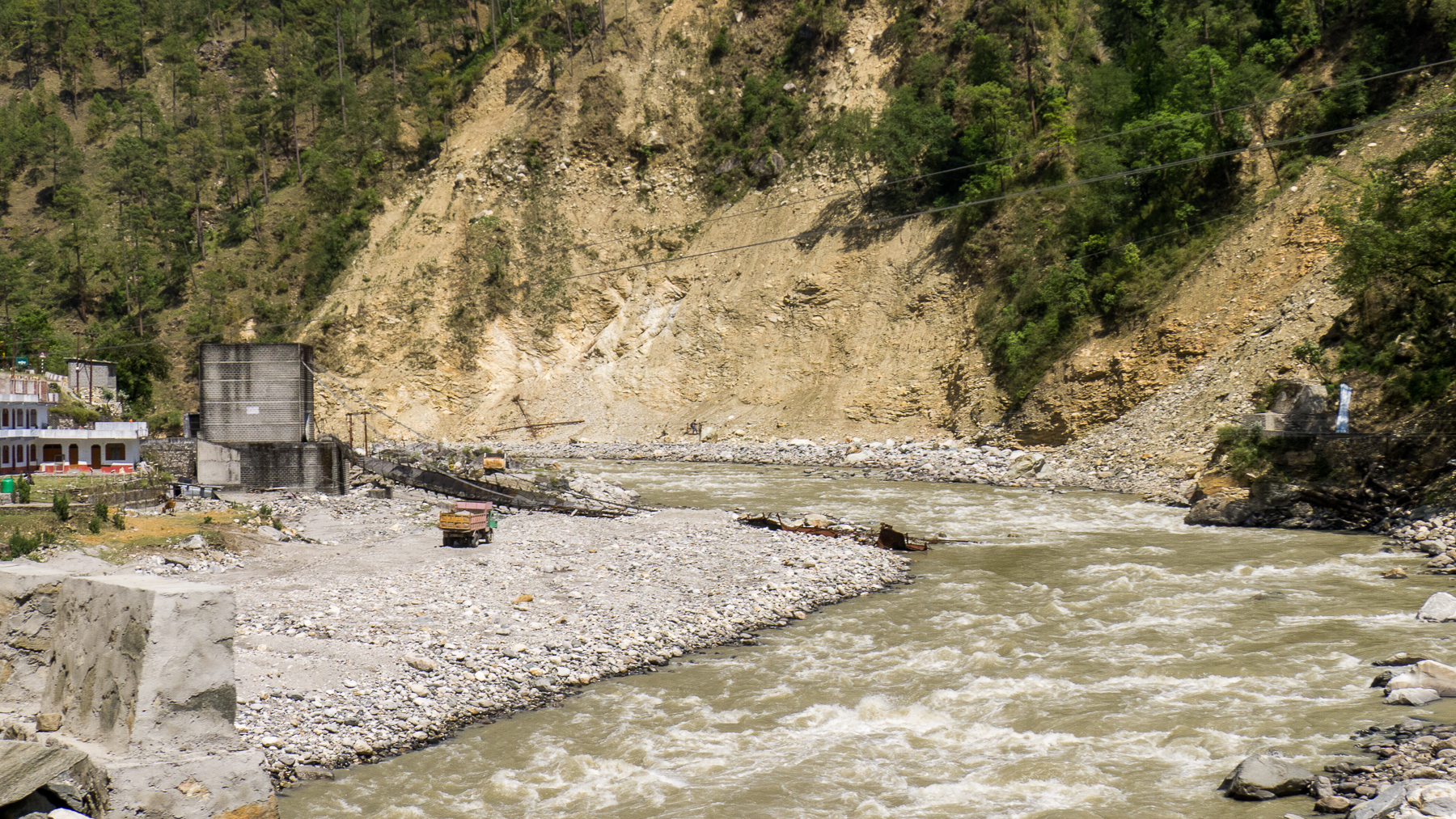
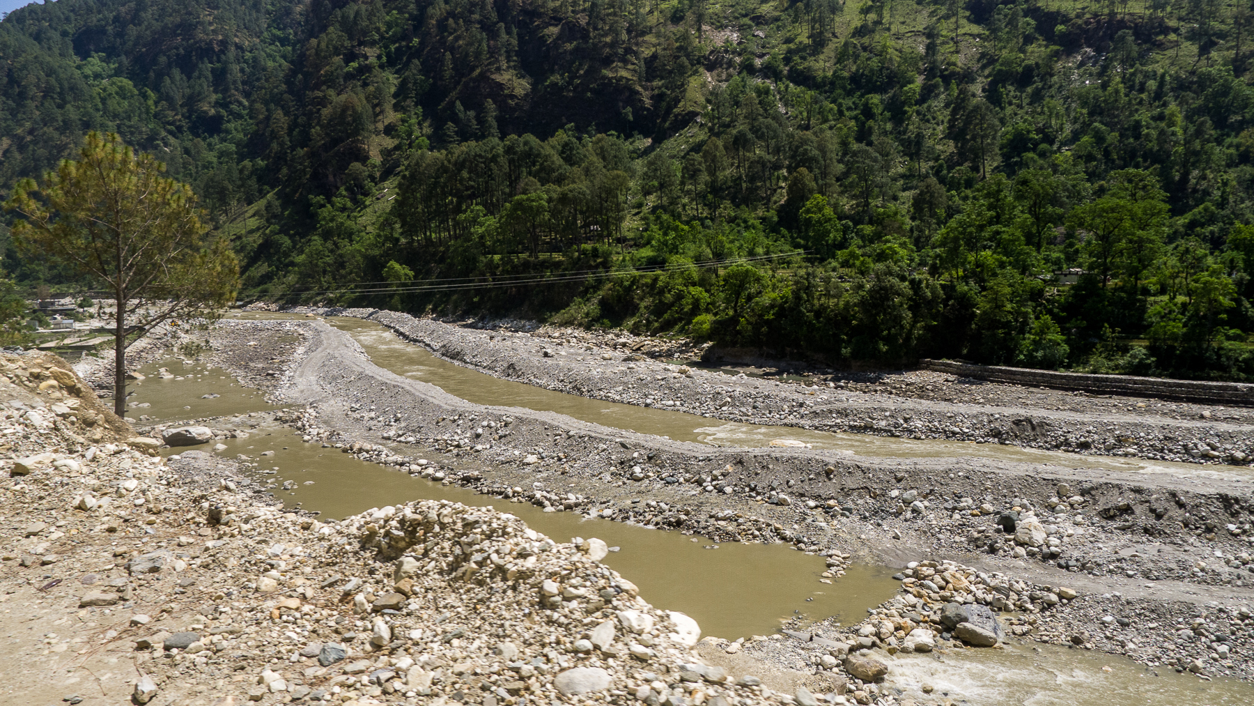
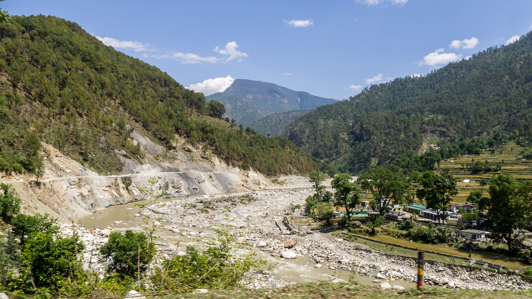
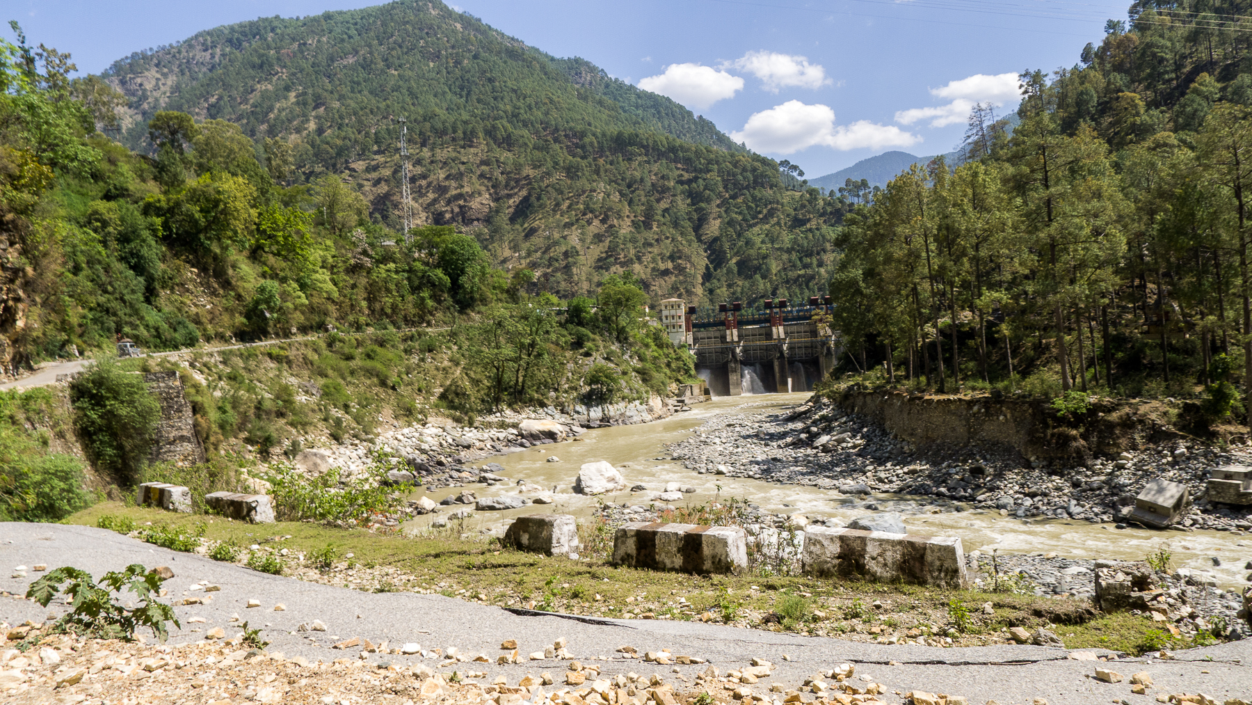
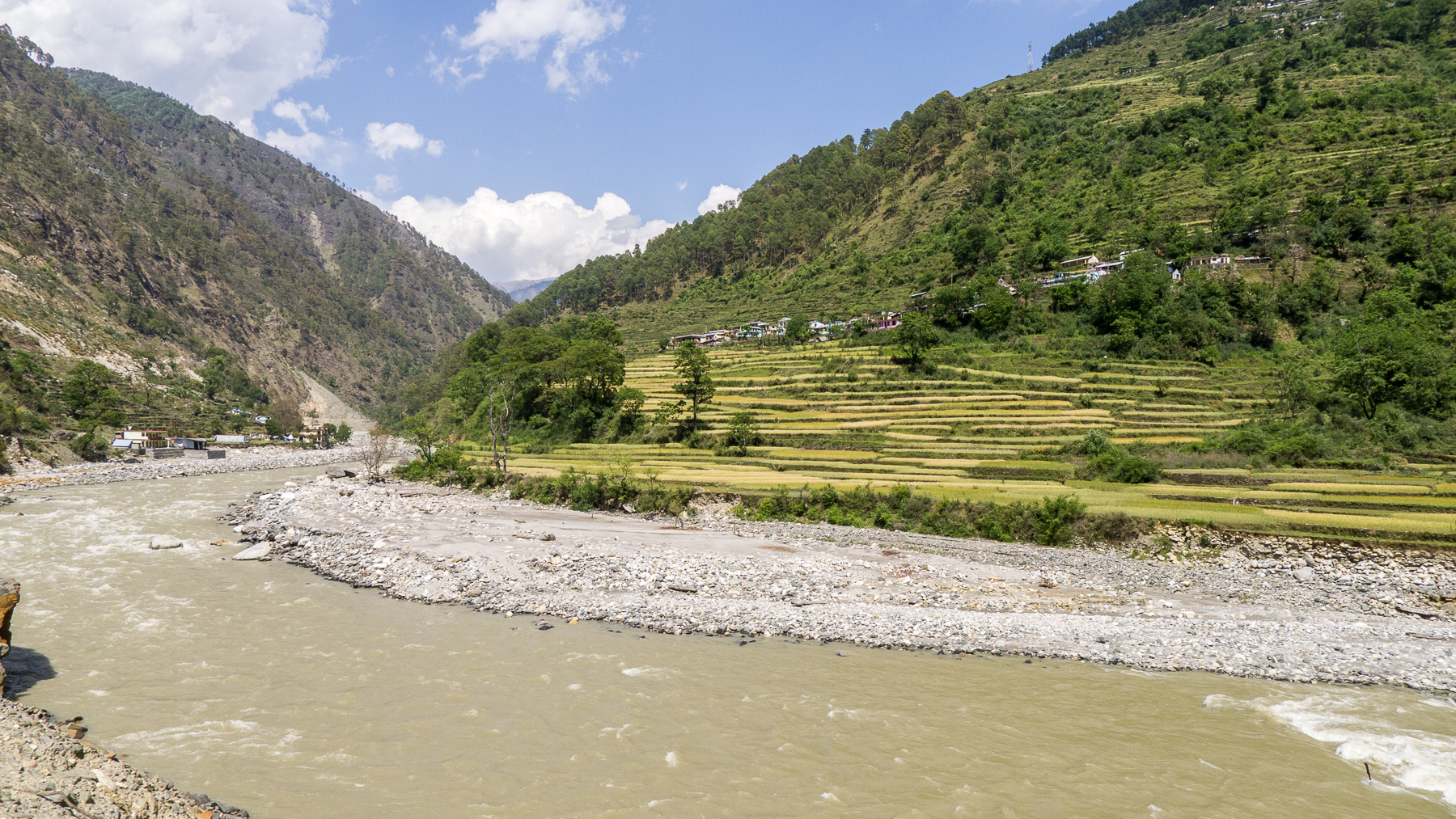
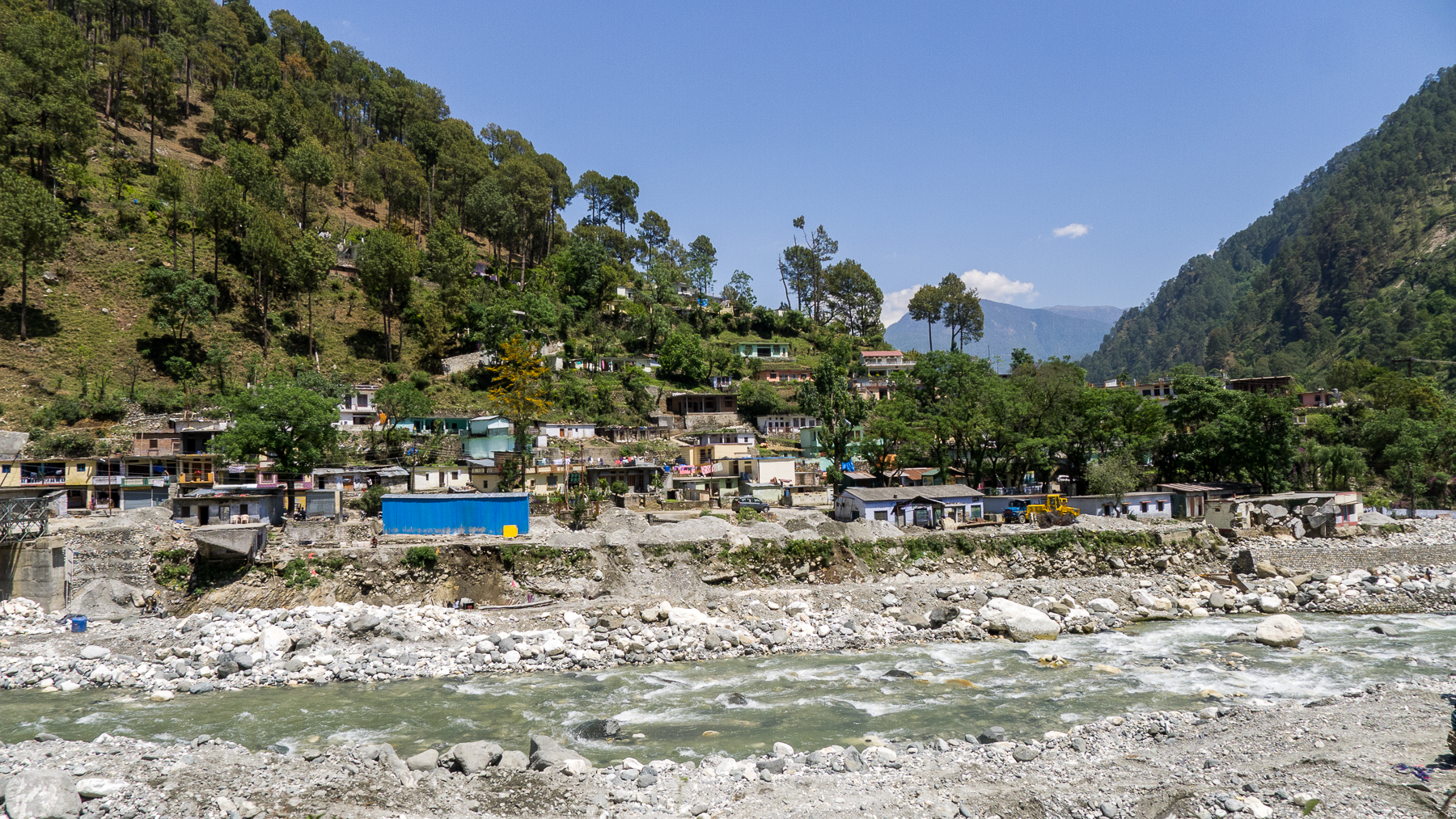
DSCN2135.jpg

DSCN2108.jpg

DSCN2196.jpg
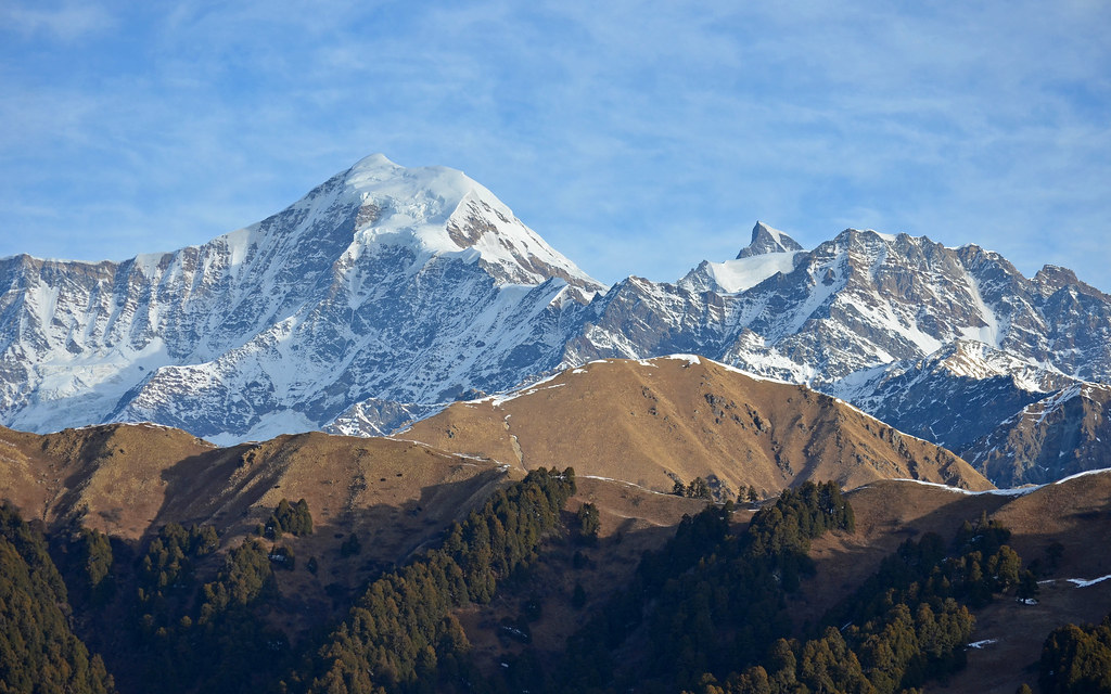
Bandarpunch and Kalanag Peaks
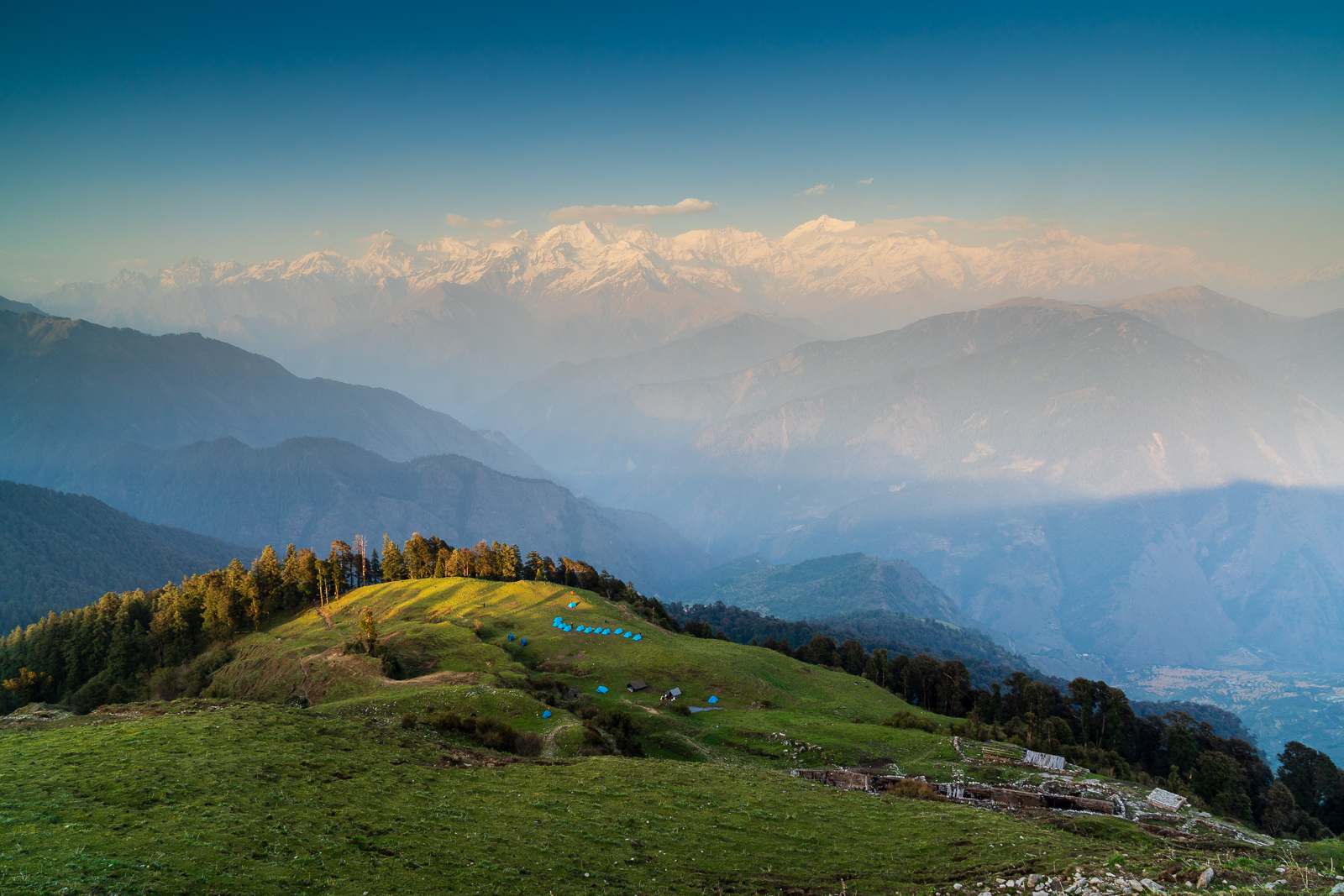
The camp below
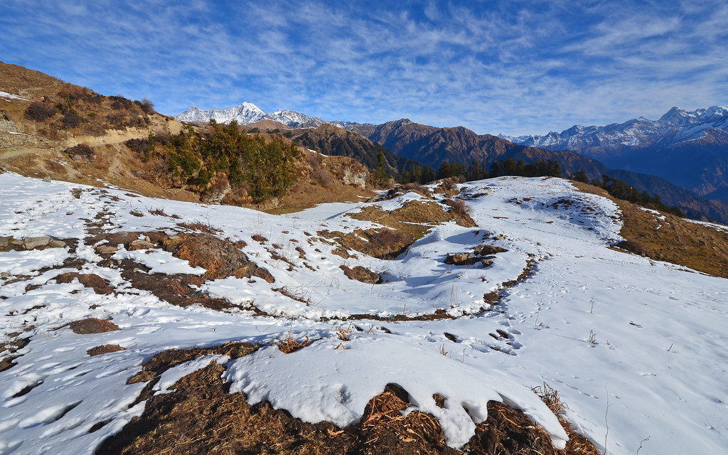
Dayara Bugyal Trek 3969
L1180630.jpg
L1180573.jpg

L1180595.jpg
L1180584.jpg
L1180560.jpg
L1180562.jpg
L1180567.jpg
L1180576.jpg
L1180556.jpg
L1180633.jpg
L1180580.jpg
L1180554.jpg
DSCN2228.jpg

DSCN2190.jpg
DSCN2246.jpg
Topographic Map of The Goat Village, Raithal, Uttarakhand, India
Find elevation by address:

Places near The Goat Village, Raithal, Uttarakhand, India:
Raithal
Dayara Bugyal
Dodital
Barahat Range
Uttarkashi
Uttarkashi
Uttarakhand, India
Matli
Hanuman Chatti
Bhigun
Nakuri
Mukhem
Sarnaul
Koti Banal
Laluri
Barkot
Bhilangna River
Musankiri
Kandikhal
Tipri
Recent Searches:
- Elevation of Corso Fratelli Cairoli, 35, Macerata MC, Italy
- Elevation of Tallevast Rd, Sarasota, FL, USA
- Elevation of 4th St E, Sonoma, CA, USA
- Elevation of Black Hollow Rd, Pennsdale, PA, USA
- Elevation of Oakland Ave, Williamsport, PA, USA
- Elevation of Pedrógão Grande, Portugal
- Elevation of Klee Dr, Martinsburg, WV, USA
- Elevation of Via Roma, Pieranica CR, Italy
- Elevation of Tavkvetili Mountain, Georgia
- Elevation of Hartfords Bluff Cir, Mt Pleasant, SC, USA