Elevation of Sarnaul, Uttarakhand, India
Location: India > Uttarakhand >
Longitude: 78.2333743
Latitude: 30.9264882
Elevation: 2472m / 8110feet
Barometric Pressure: 75KPa
Elevation Map:
Satellite Map:
Related Photos:

IMG_0715

IMG_0541

IMG_0591

IMG_0739

IMG_0571
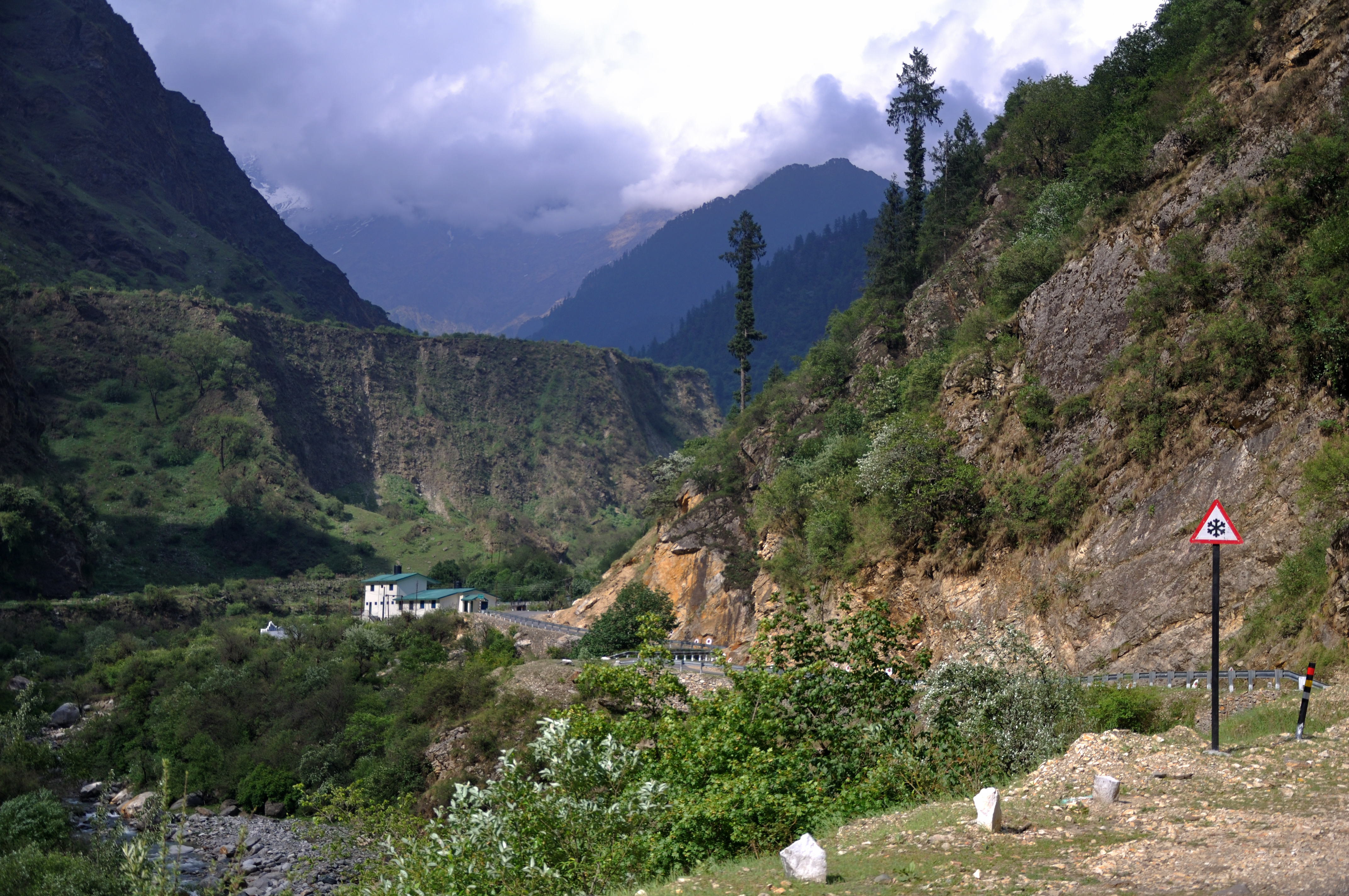
Enroute Yamunotri

Hills Of Uttarakhand

Ganges flows in the hilly regions of Uttarakhand

L1180536.jpg

L1180532.jpg

L1180545.jpg

L1180541.jpg

L1180535.jpg

L1180526.jpg

L1180528.jpg

L1180517.jpg

L1180543.jpg

Houses on Mountain

On palettes... as Autumn recedes, the winterline is throwing up its usual twilight riot of colours... #himalayas #nature #clouds #sunset #silhouette #landscape #twilight #garhwal #uttarakhand

River Yamuna

Dense Forest @Yamunotri

L1180538.jpg

L1180515.jpg

L1180516.jpg

My first trekking moments

of abandoned abodes... the migration blues of uttarakhand... yamunotri valley, 'Oct 15... #travel #photography #yamunabasin #yamunotriroute #uttarakhand #Himalayas #sunset #landscape #ruralindia #ruralmigration #iphone4s #iphonography
Topographic Map of Sarnaul, Uttarakhand, India
Find elevation by address:

Places near Sarnaul, Uttarakhand, India:
Koti Banal
Barkot
Purola
Hanuman Chatti
Nakuri
Matli
Uttarkashi
Barahat Range
Uttarkashi
Dodital
Dayara Bugyal
Laluri
Raithal
The Goat Village
Mohana
Mukhem
Deoban
Bisoi
Chakrata
Chakrata Hill Station
Recent Searches:
- Elevation of Corso Fratelli Cairoli, 35, Macerata MC, Italy
- Elevation of Tallevast Rd, Sarasota, FL, USA
- Elevation of 4th St E, Sonoma, CA, USA
- Elevation of Black Hollow Rd, Pennsdale, PA, USA
- Elevation of Oakland Ave, Williamsport, PA, USA
- Elevation of Pedrógão Grande, Portugal
- Elevation of Klee Dr, Martinsburg, WV, USA
- Elevation of Via Roma, Pieranica CR, Italy
- Elevation of Tavkvetili Mountain, Georgia
- Elevation of Hartfords Bluff Cir, Mt Pleasant, SC, USA