Elevation of Uthangarai, Tamil Nadu, India
Location: India > Tamil Nadu > Krishnagiri >
Longitude: 78.5352248
Latitude: 12.2660328
Elevation: 343m / 1125feet
Barometric Pressure: 97KPa
Elevation Map:
Satellite Map:
Related Photos:
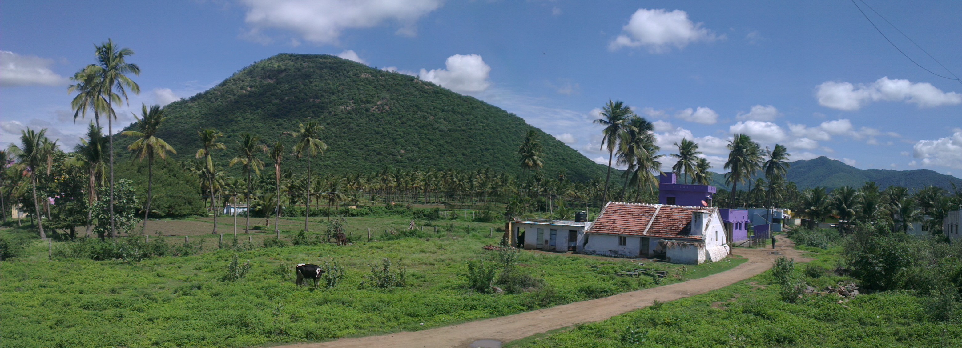
IMAG2245
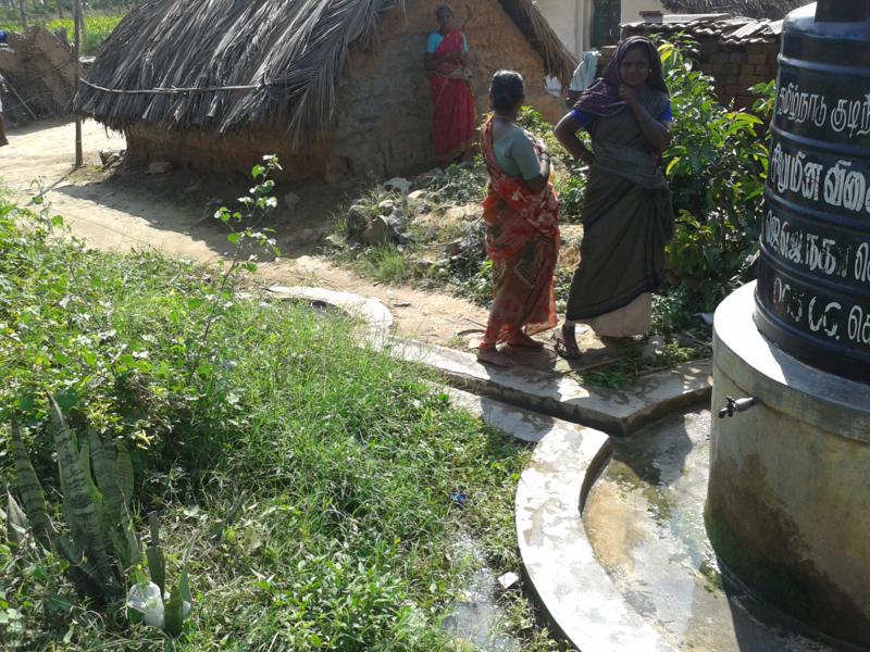
Iluppakuttaipatti File#W02A ADD SNo.17 2013-01-09 11.04.55 (4)_800x600
Topographic Map of Uthangarai, Tamil Nadu, India
Find elevation by address:

Places near Uthangarai, Tamil Nadu, India:
Merkathiyanur
Mathur
Pochampalli
Harur
Padasalai
Tirupattur
Agaram
Jolarpet
Yelagiri
Don Bosco College / Centre
Hill Fort Hotels & Resorts Yelagiri
Kaveripattinam
Mangalam R.f.
Dharmapuri
Pappireddipatti
Krishnagiri
Thirthagira R.f.
Kalrayan Hills
Dharmapuri
Nallur
Recent Searches:
- Elevation of Corso Fratelli Cairoli, 35, Macerata MC, Italy
- Elevation of Tallevast Rd, Sarasota, FL, USA
- Elevation of 4th St E, Sonoma, CA, USA
- Elevation of Black Hollow Rd, Pennsdale, PA, USA
- Elevation of Oakland Ave, Williamsport, PA, USA
- Elevation of Pedrógão Grande, Portugal
- Elevation of Klee Dr, Martinsburg, WV, USA
- Elevation of Via Roma, Pieranica CR, Italy
- Elevation of Tavkvetili Mountain, Georgia
- Elevation of Hartfords Bluff Cir, Mt Pleasant, SC, USA