Elevation of Pappireddipatti, Tamil Nadu, India
Location: India > Tamil Nadu > Dharmapuri >
Longitude: 78.3657342
Latitude: 11.9135833
Elevation: 441m / 1447feet
Barometric Pressure: 96KPa
Elevation Map:
Satellite Map:
Related Photos:
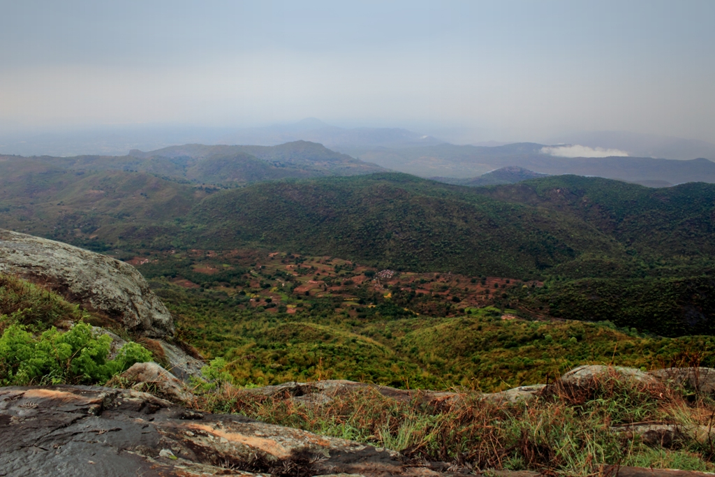
View from Heavens Ledge - Yercaud

C T R

Ranjith niruba
Topographic Map of Pappireddipatti, Tamil Nadu, India
Find elevation by address:

Places near Pappireddipatti, Tamil Nadu, India:
Nallur
Kottachedu Kari Raman Temple
Manjakuttai View Point
Manjakuttai
Pelathur
Talai Cholai
Whispering Winds
Shevaroy Temple
Harur
Fernhill Cottage Road
Pilleri
Kombaikkadu
Pagoda Point Road
30/68, Ondikadai
Yercaud Lake
The Cliff Resort - Yercaud
Yercaud
Vellur
Great Trails Yercaud By Grt Hotels
Tipperary Estate
Recent Searches:
- Elevation of Corso Fratelli Cairoli, 35, Macerata MC, Italy
- Elevation of Tallevast Rd, Sarasota, FL, USA
- Elevation of 4th St E, Sonoma, CA, USA
- Elevation of Black Hollow Rd, Pennsdale, PA, USA
- Elevation of Oakland Ave, Williamsport, PA, USA
- Elevation of Pedrógão Grande, Portugal
- Elevation of Klee Dr, Martinsburg, WV, USA
- Elevation of Via Roma, Pieranica CR, Italy
- Elevation of Tavkvetili Mountain, Georgia
- Elevation of Hartfords Bluff Cir, Mt Pleasant, SC, USA