Elevation map of Dharmapuri, Tamil Nadu, India
Location: India > Tamil Nadu >
Longitude: 78.2020387
Latitude: 12.0933225
Elevation: 497m / 1631feet
Barometric Pressure: 95KPa
Elevation Map:
Satellite Map:
Related Photos:
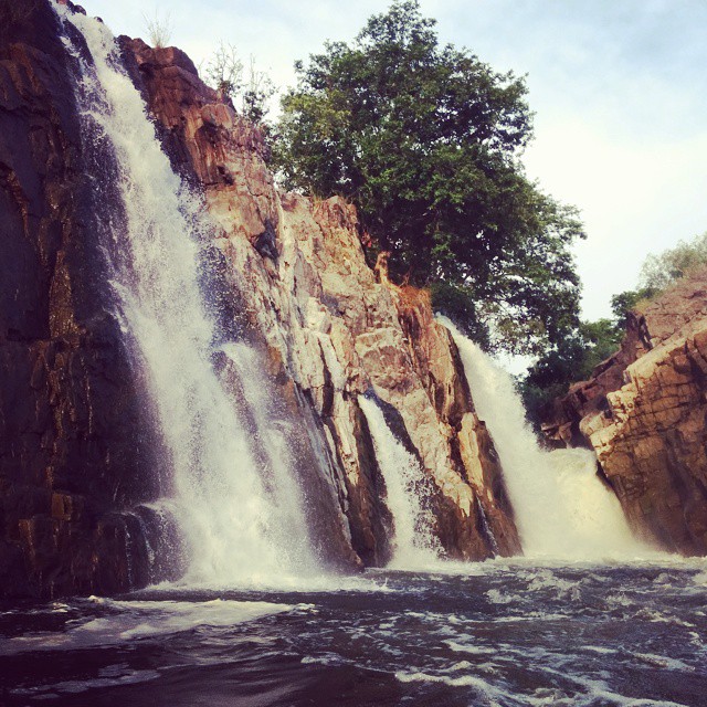
Peace with #waterfall ;)

Tamil Nadu, September 2010
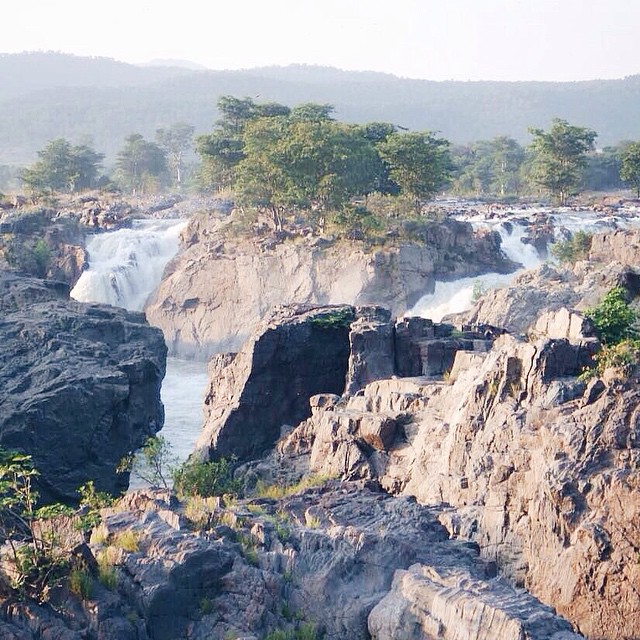
A #niagara of #Tamilnadu... ????????#VSCOcam #travel #throwback #life #light #India #happiness
Vathalmalai Water Falls

Silhouette!
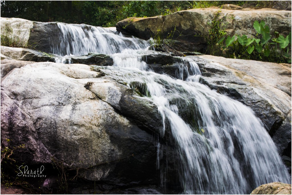
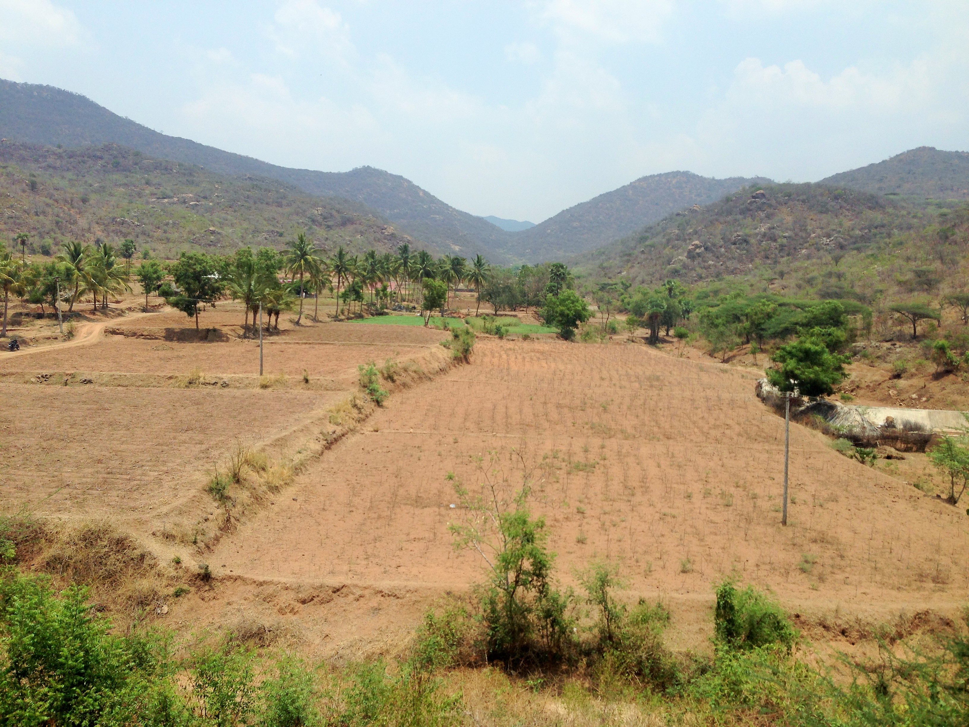
Landscape of Vathalmalai
Silhouette!
Peace!

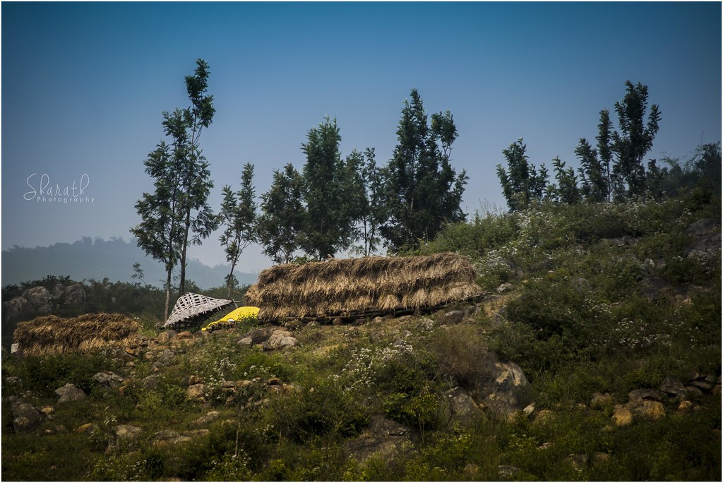
Culture @ Vathalmalai, Dharmapuri
Streets @ Vathalmalai, Dharmapuri

Single @ Vathalmalai, Dharmapuri
S I N G L E
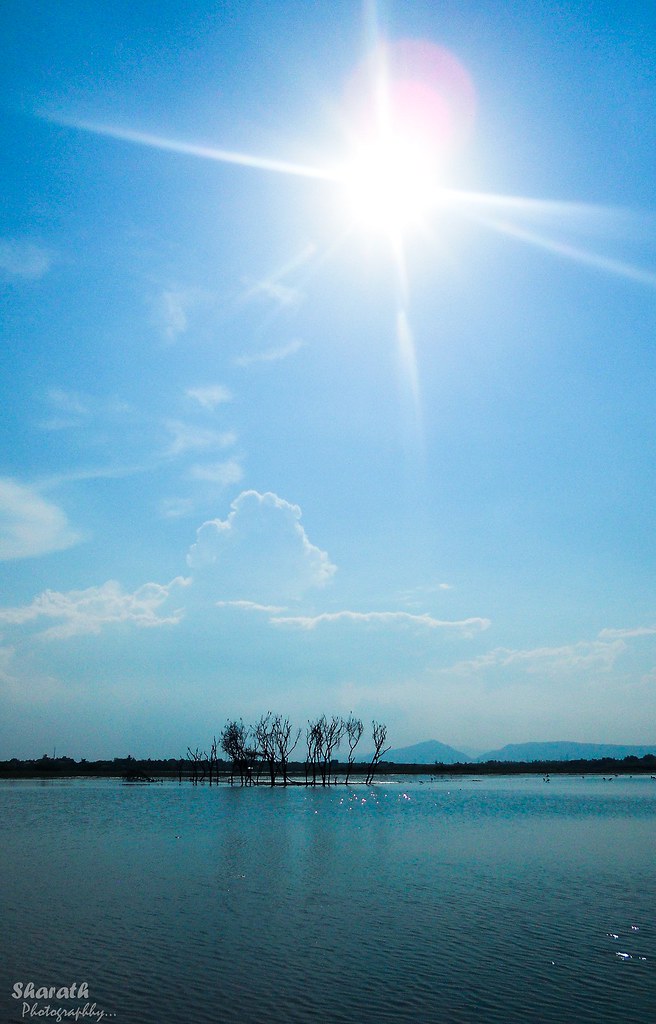
Ramakkal Lake - Dharmapuri

All you need in a bamboo #boat :)
In the Shevaroy Hills
Topographic Map of Dharmapuri, Tamil Nadu, India
Find elevation by address:

Places in Dharmapuri, Tamil Nadu, India:
Dharmapuri
Pappireddipatti
Pennagaram
Harur
Pochampalli
Kaveripattinam
Perumbalai
Hogenakkal
Bettamugilalam
Agaram
Places near Dharmapuri, Tamil Nadu, India:
Dharmapuri
Pappireddipatti
Nallur
Whispering Winds
Agaram
Manjakuttai
Manjakuttai View Point
Shevaroy Temple
Kottachedu Kari Raman Temple
Harur
Fernhill Cottage Road
Pochampalli
Perumbalai
Kombaikkadu
The Cliff Resort - Yercaud
Pennagaram
Yercaud Lake
30/68, Ondikadai
Vellur
Pagoda Point Road
Recent Searches:
- Elevation of Corso Fratelli Cairoli, 35, Macerata MC, Italy
- Elevation of Tallevast Rd, Sarasota, FL, USA
- Elevation of 4th St E, Sonoma, CA, USA
- Elevation of Black Hollow Rd, Pennsdale, PA, USA
- Elevation of Oakland Ave, Williamsport, PA, USA
- Elevation of Pedrógão Grande, Portugal
- Elevation of Klee Dr, Martinsburg, WV, USA
- Elevation of Via Roma, Pieranica CR, Italy
- Elevation of Tavkvetili Mountain, Georgia
- Elevation of Hartfords Bluff Cir, Mt Pleasant, SC, USA