Elevation of UT-, Panguitch, UT, USA
Location: United States > Utah > Garfield County >
Longitude: -112.62281
Latitude: 37.7136745
Elevation: 2515m / 8251feet
Barometric Pressure: 75KPa
Elevation Map:
Satellite Map:
Related Photos:

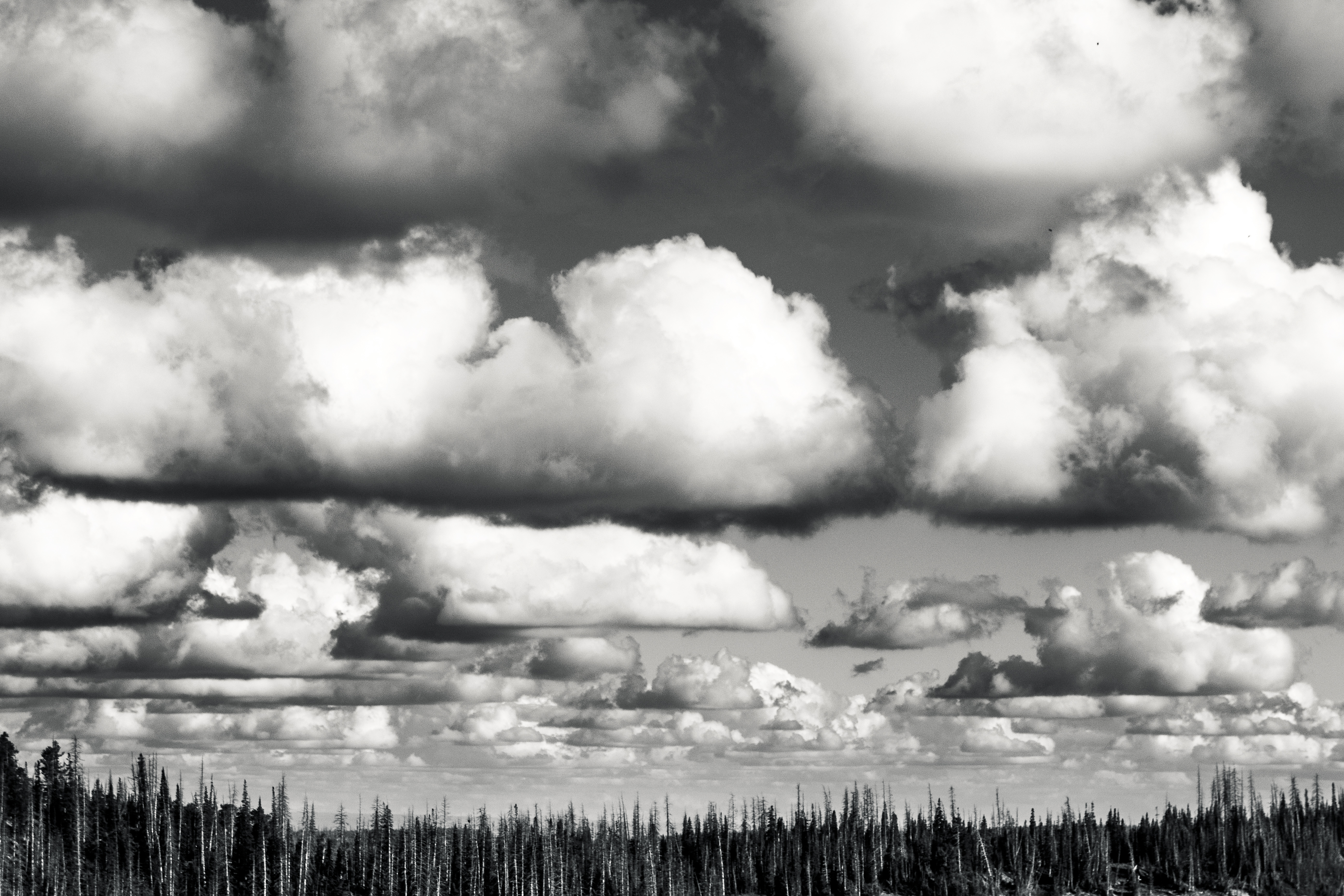
Amazing clouds
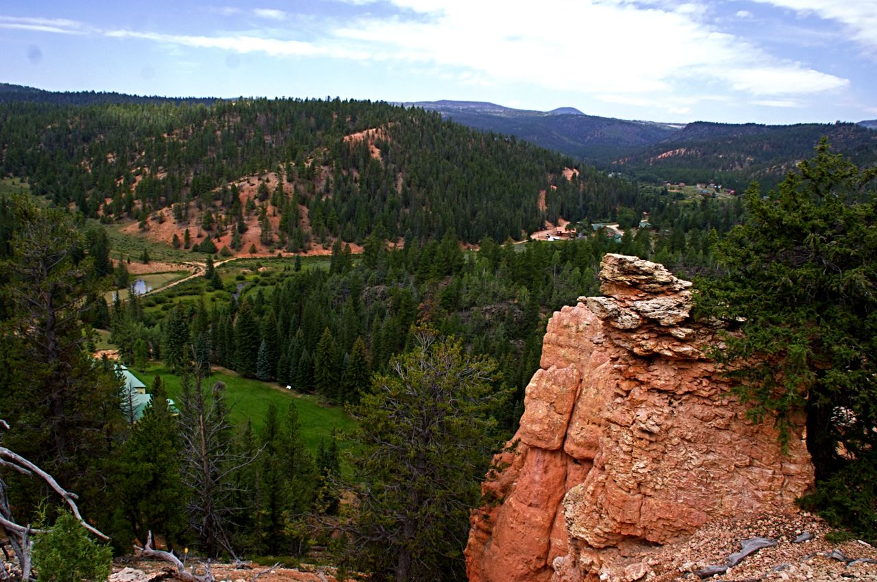
View from Snoopy Rock, Mammoth Creek, UT

IMG_1367.JPG
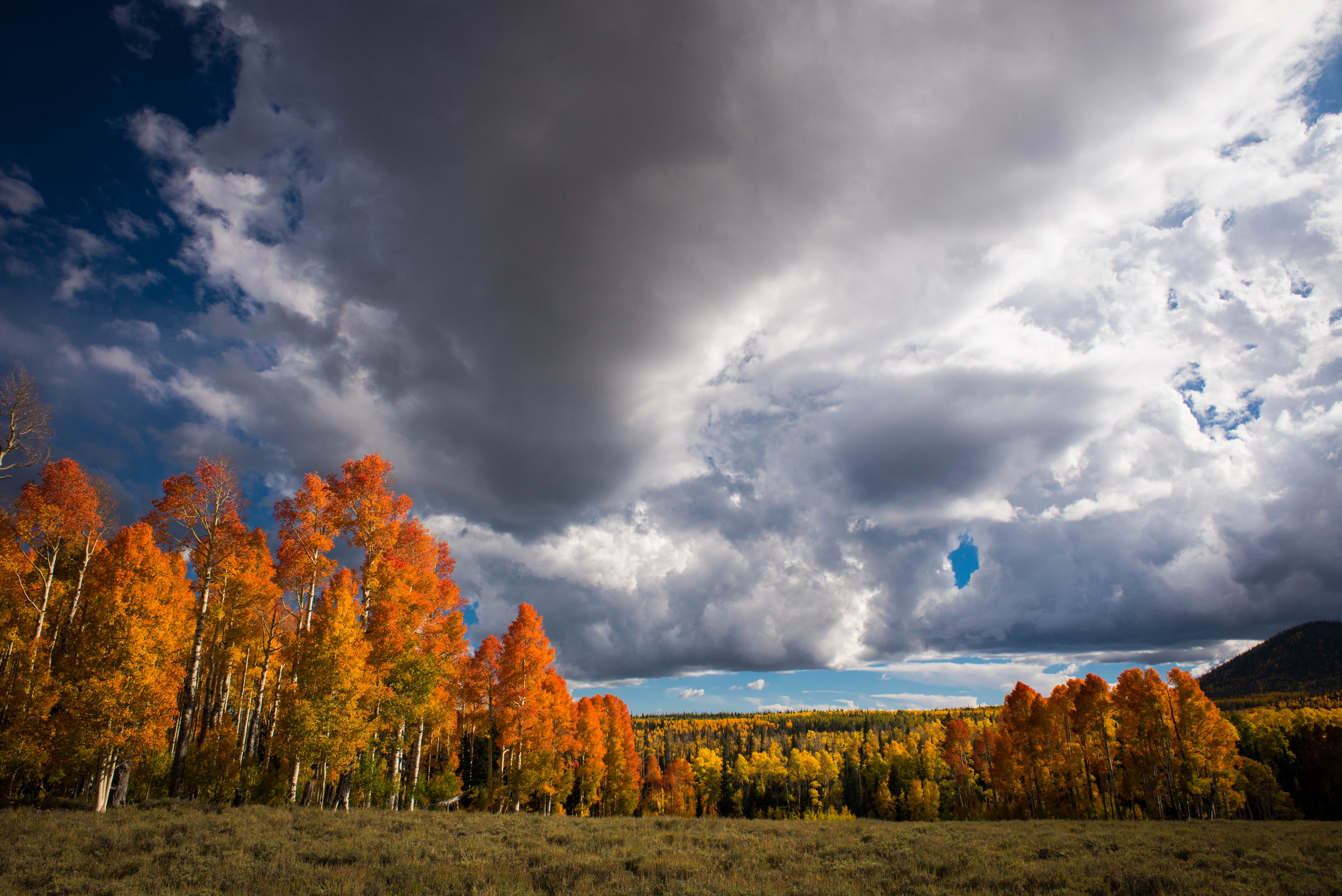
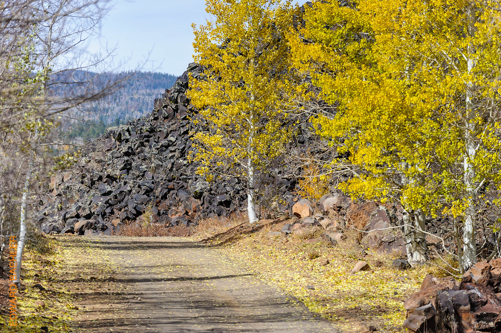
Fall with clouds
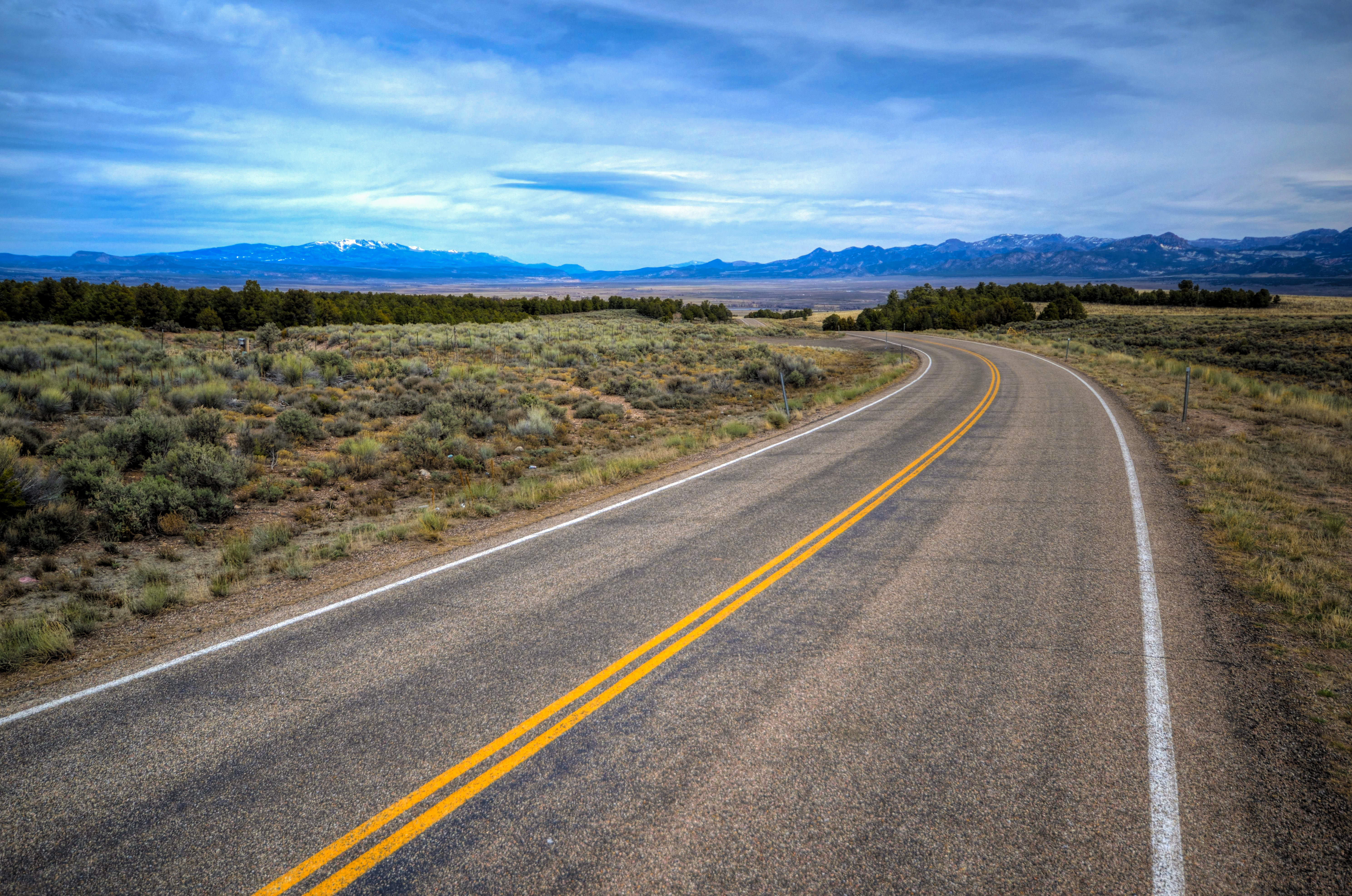
Mountain Road, Utah
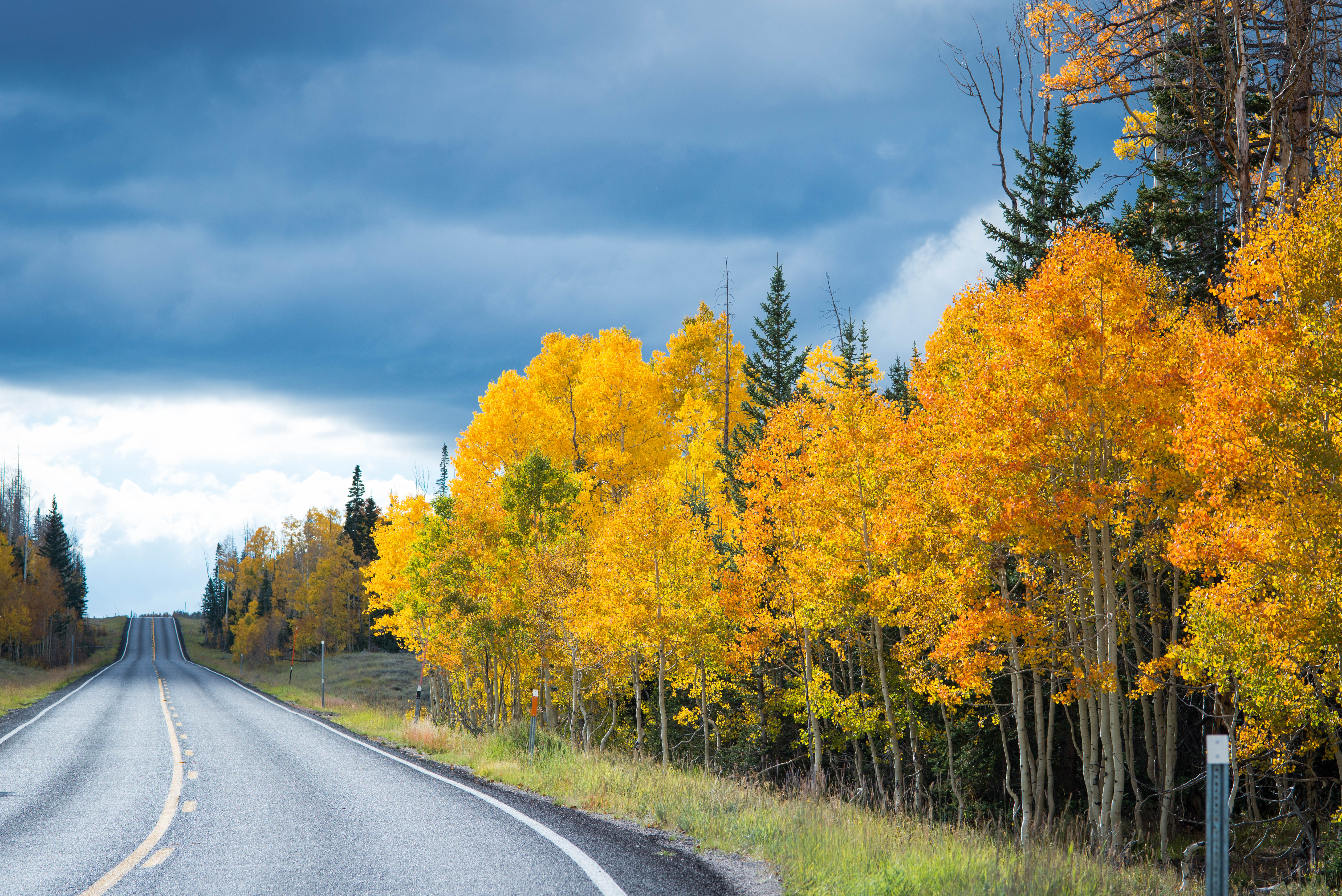
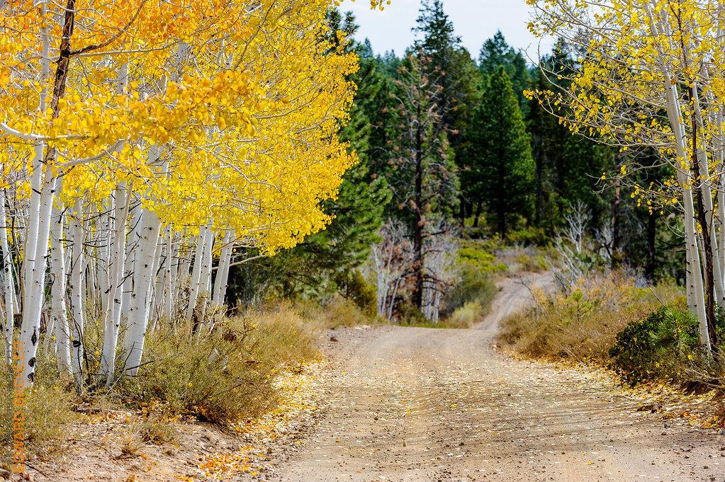
Beautiful fall road
The days pass by

IMG_3291.JPG

Camera Roll-1090

5/25/08 11:32 PM

USA West

5/25/08 11:31 PM

5/25/08 11:29 PM

The Grove

IMG_2490.JPG
USA West

IMG_3292.JPG

IMG_3266.JPG

5/23/08 05:31 AM

IMG_3271.JPG

IMG_3276.JPG
USA West

IMG_3295.JPG

IMG_3424.JPG
Topographic Map of UT-, Panguitch, UT, USA
Find elevation by address:

Places near UT-, Panguitch, UT, USA:
782 E Fishin Cove Cir
Panguitch Lake
225 Fr080
305 Fr080
305 Fr080
414 Elk Dr
94 S Buck Horn Dr
Creek Front Drive
South Yankee Meadow Road
Uinta Flat
Asay Creek
2275 South
Duck Creek Village
G8fm+gr
2nd Left Hand Road
3595 Cherokee Ln
Uinta Flat Designated Dispersed Camping Area
Blue Jay Way
1640 Strawberry Creek Dr
Duck Creek Ridge Road
Recent Searches:
- Elevation of Corso Fratelli Cairoli, 35, Macerata MC, Italy
- Elevation of Tallevast Rd, Sarasota, FL, USA
- Elevation of 4th St E, Sonoma, CA, USA
- Elevation of Black Hollow Rd, Pennsdale, PA, USA
- Elevation of Oakland Ave, Williamsport, PA, USA
- Elevation of Pedrógão Grande, Portugal
- Elevation of Klee Dr, Martinsburg, WV, USA
- Elevation of Via Roma, Pieranica CR, Italy
- Elevation of Tavkvetili Mountain, Georgia
- Elevation of Hartfords Bluff Cir, Mt Pleasant, SC, USA