Elevation of E Fishin Cove Cir, Panguitch, UT, USA
Location: United States > Utah > Garfield County > Panguitch >
Longitude: -112.63720
Latitude: 37.7061884
Elevation: 2508m / 8228feet
Barometric Pressure: 75KPa
Elevation Map:
Satellite Map:
Related Photos:

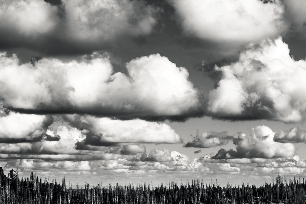
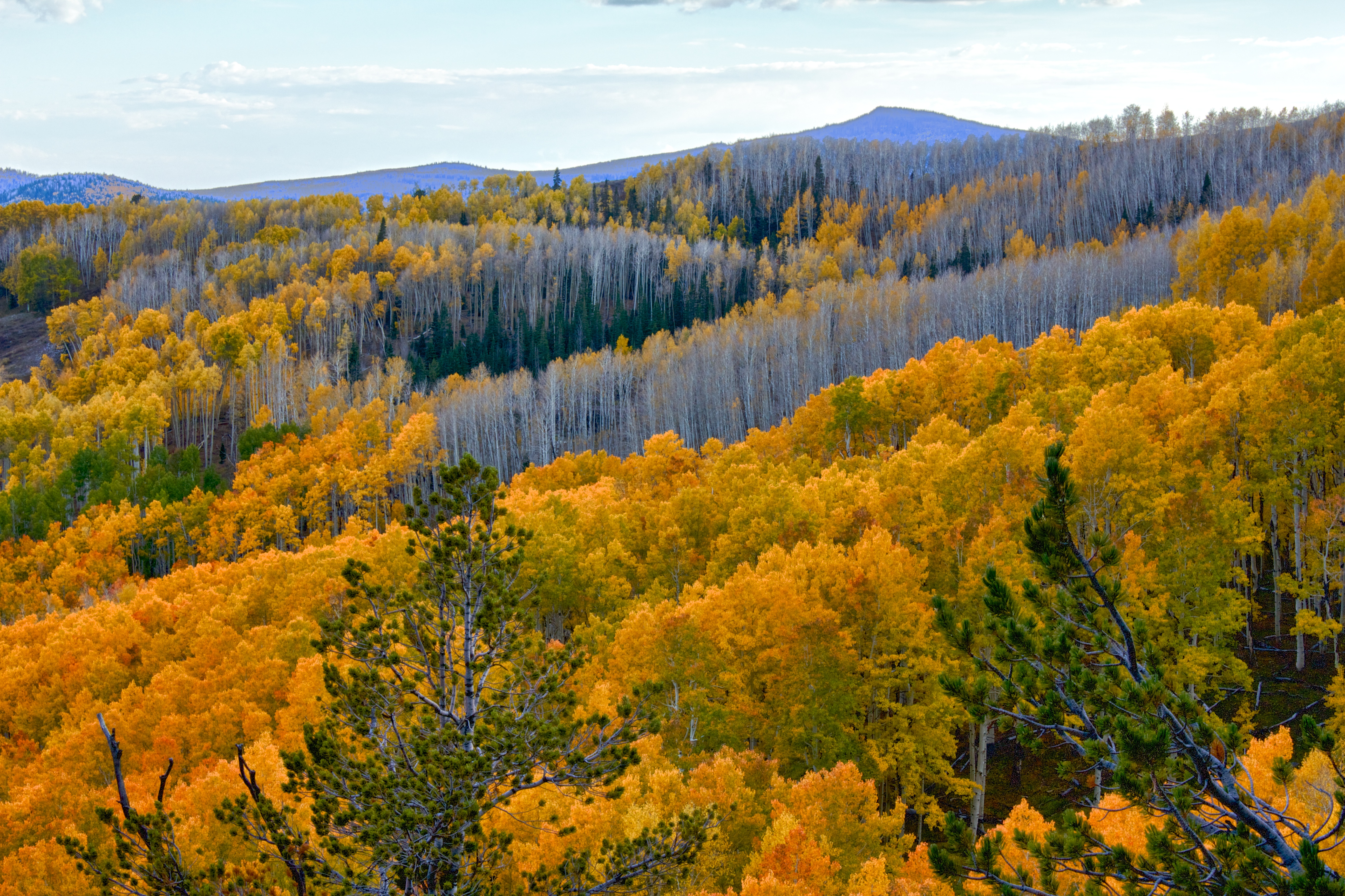
Amazing clouds
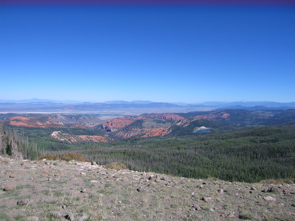
Utah Countryside
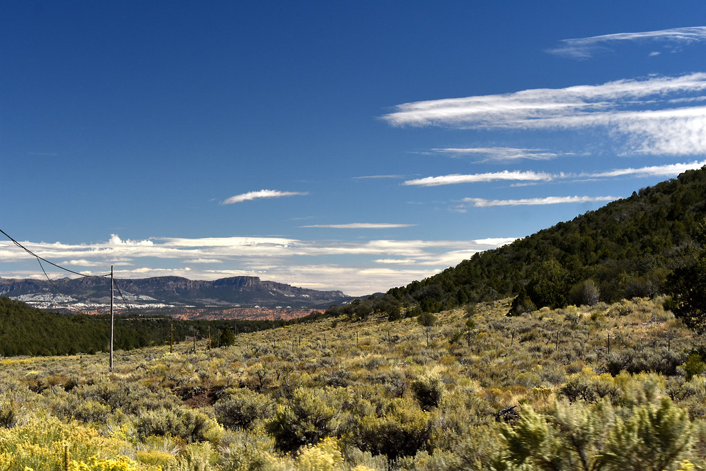
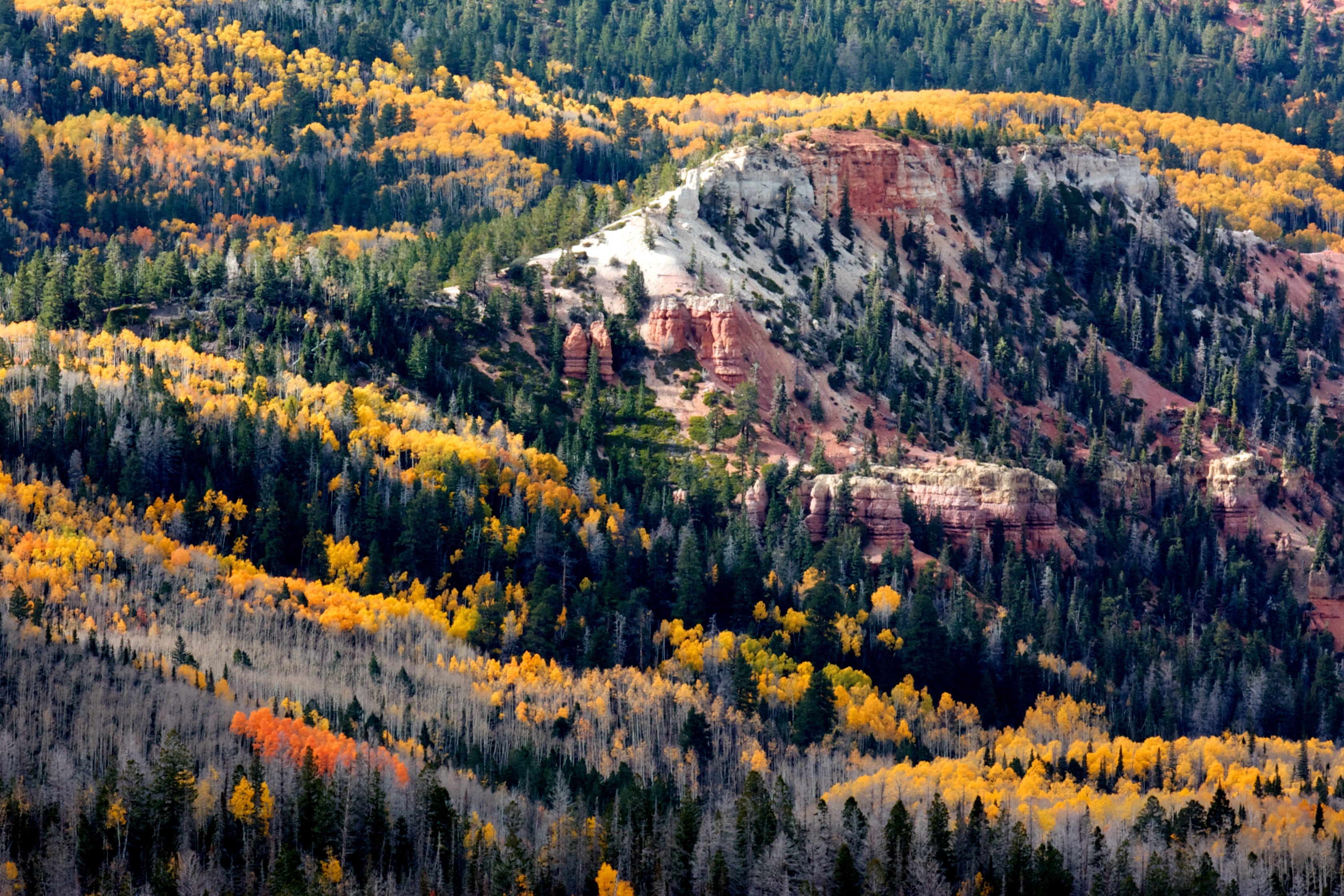
What a View
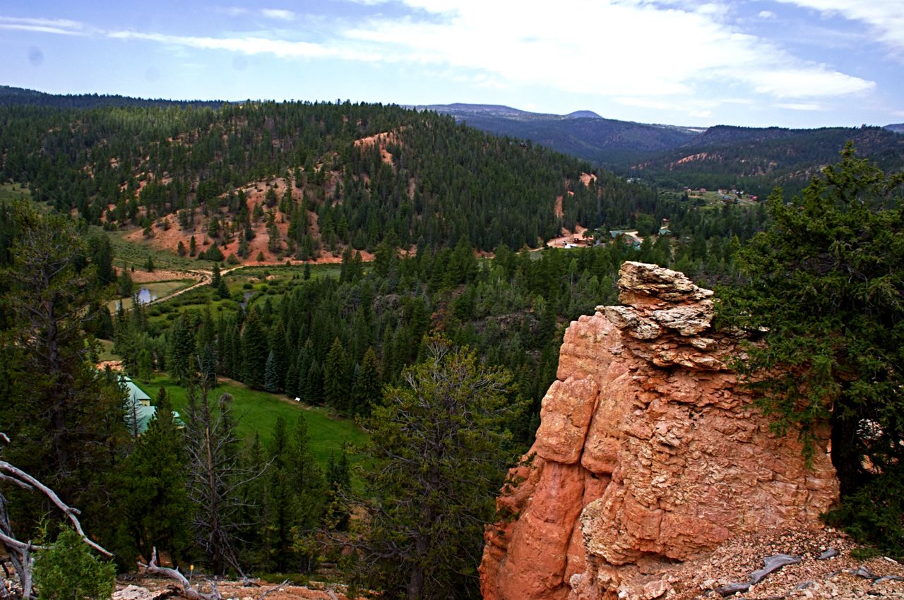
View from Snoopy Rock, Mammoth Creek, UT
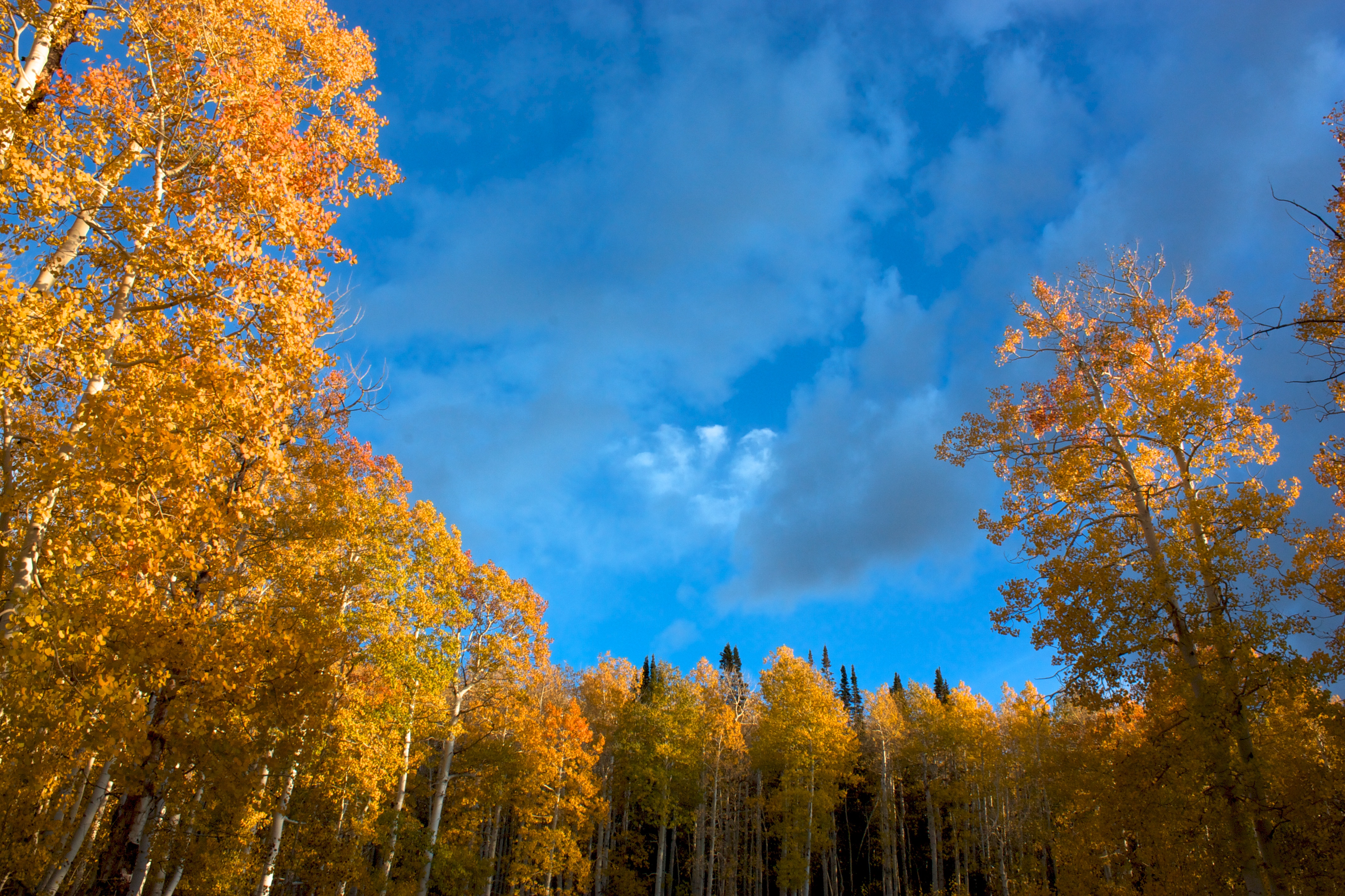
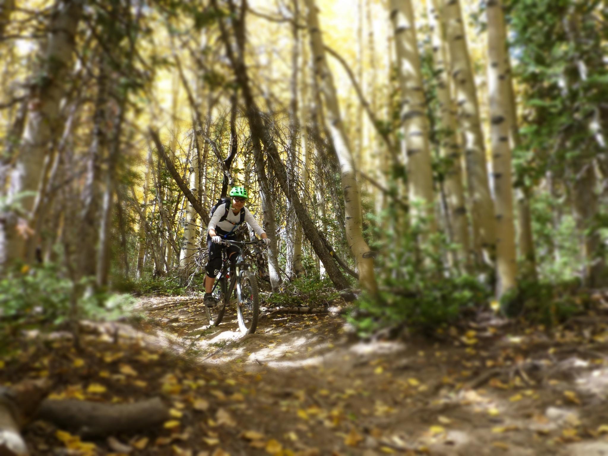
Dixie NF - Sidney Valley RD Aspens
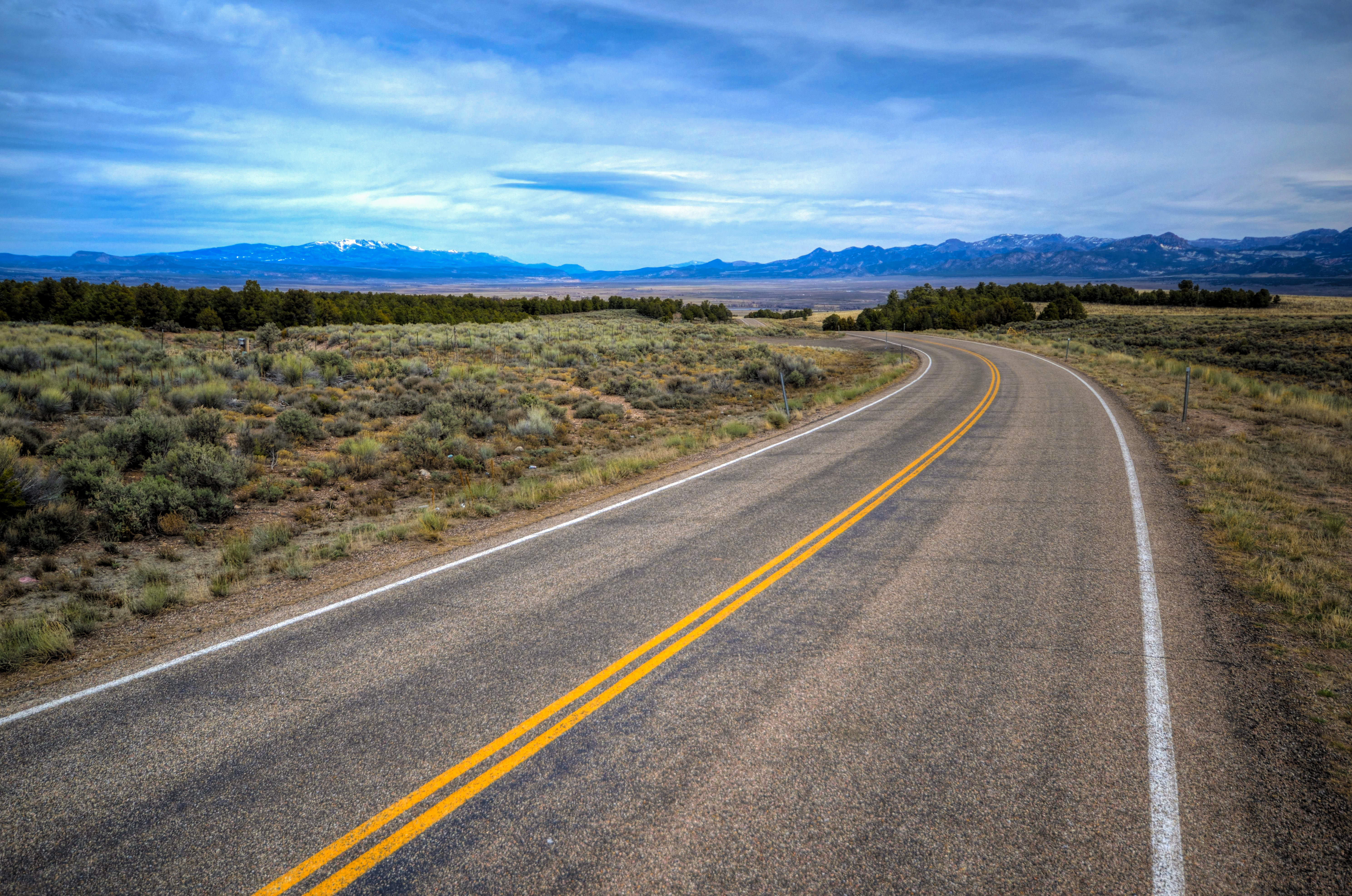
Mountain Road, Utah
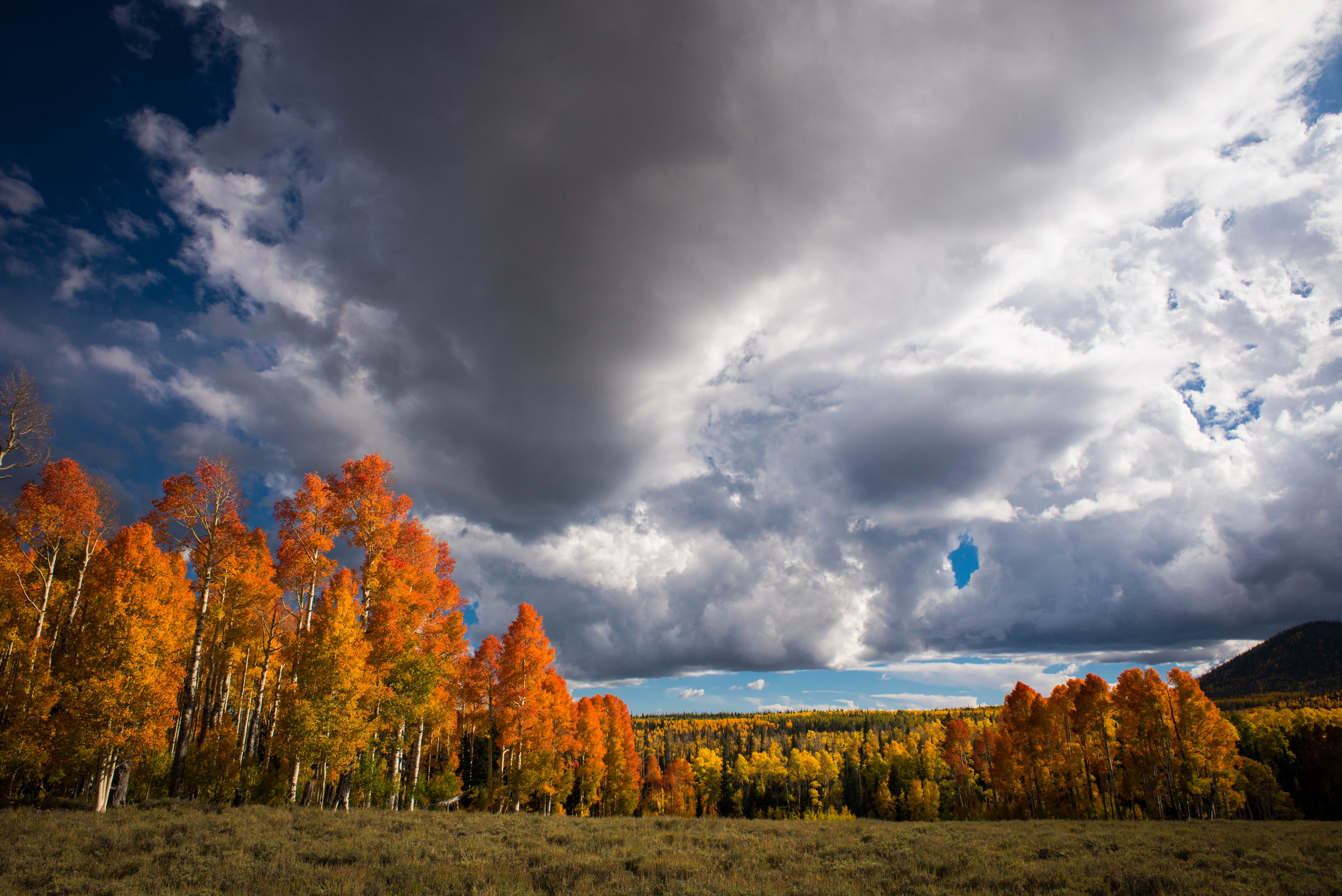
Fall with clouds
The days pass by
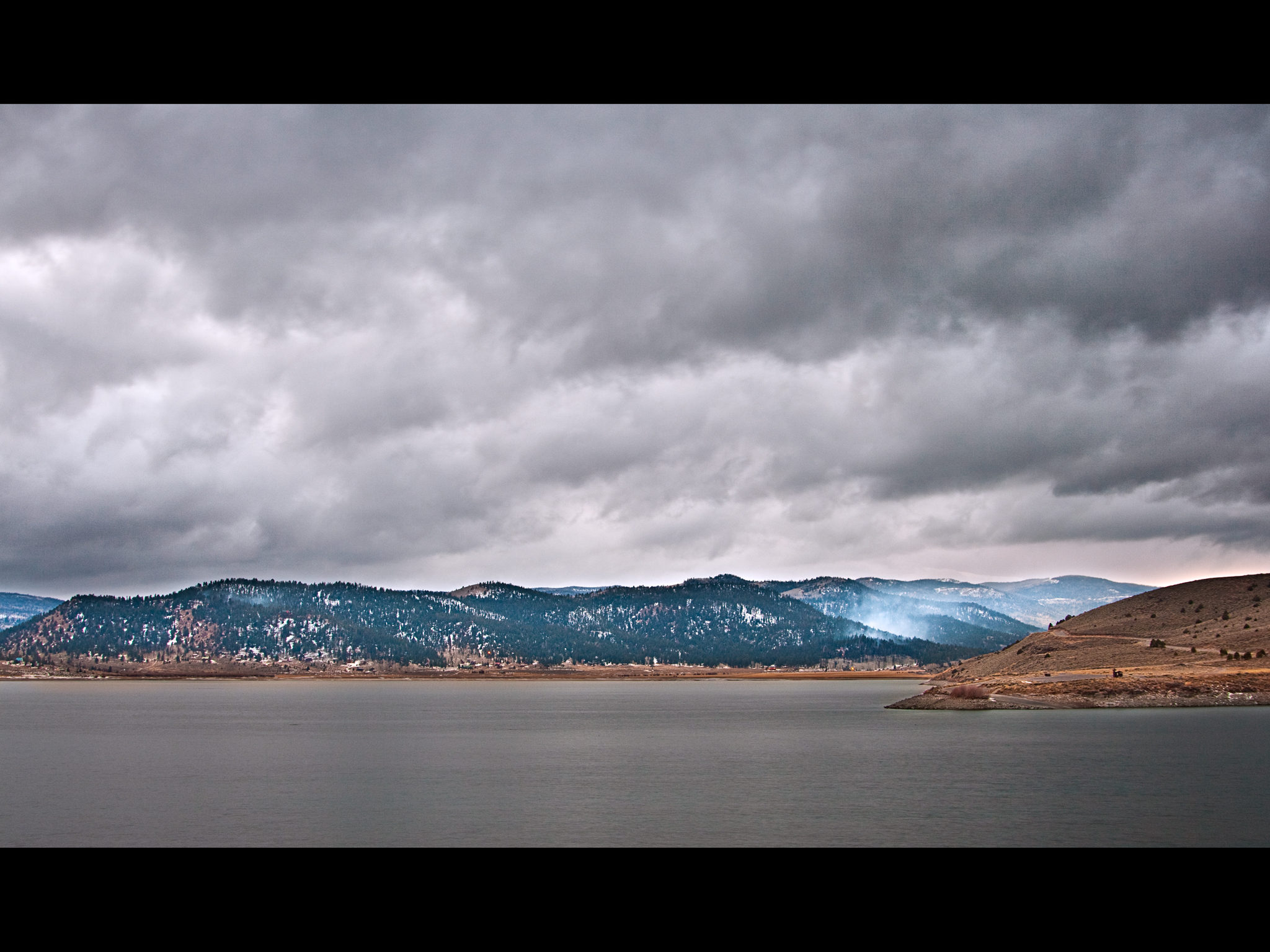
Storm clouds over Panguitch Lake
Dixie National Forest rt 143

USA West
USA West
Cedar Breaks_54
Dixie NF - Sidney Valley RD Sunset2

2010-10-06 at 14-16-22 - C5D2_0193
Bunker Creek - Right Fork
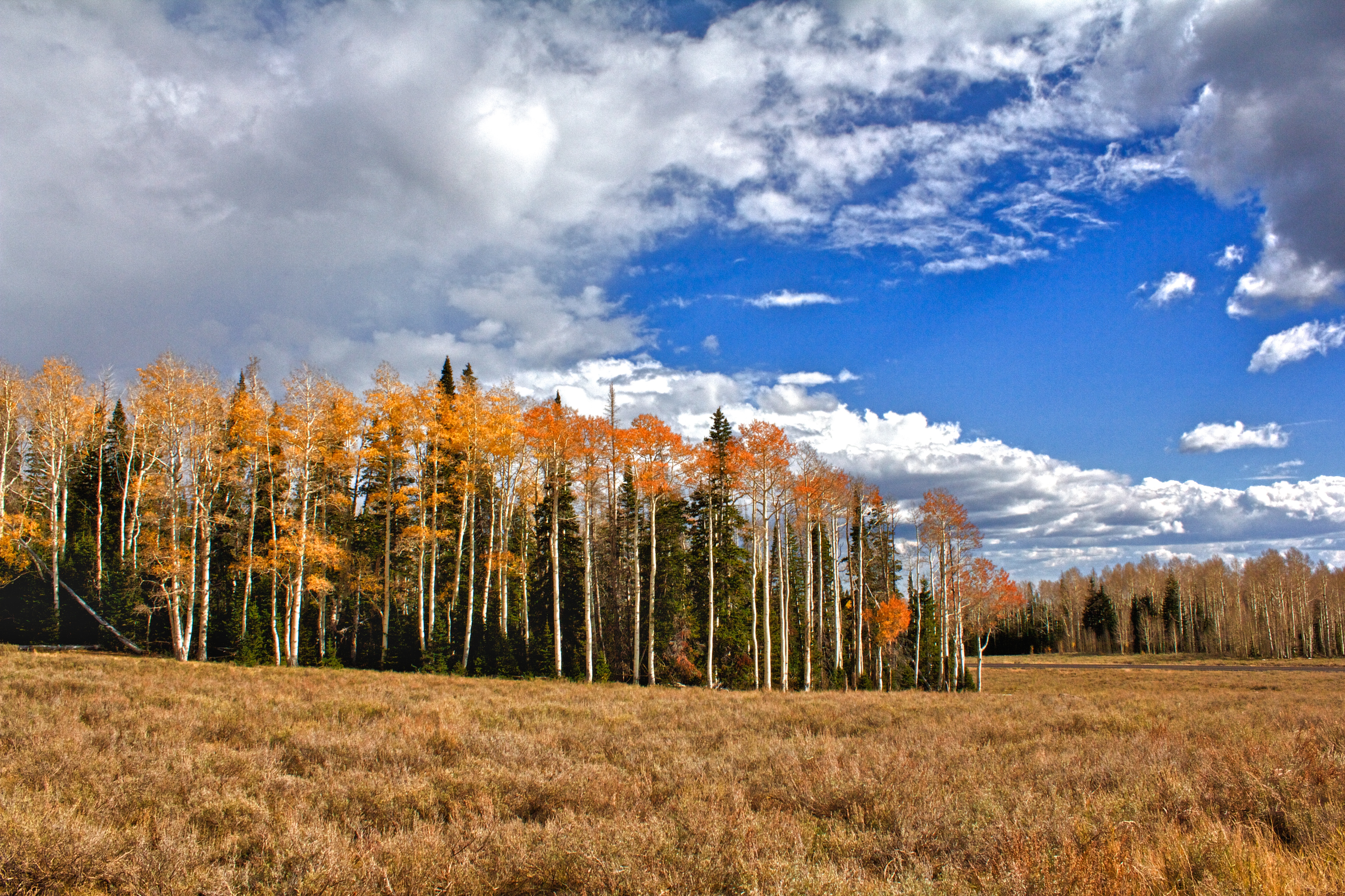
Dixie NF - Sidney Valley RD Fallscape
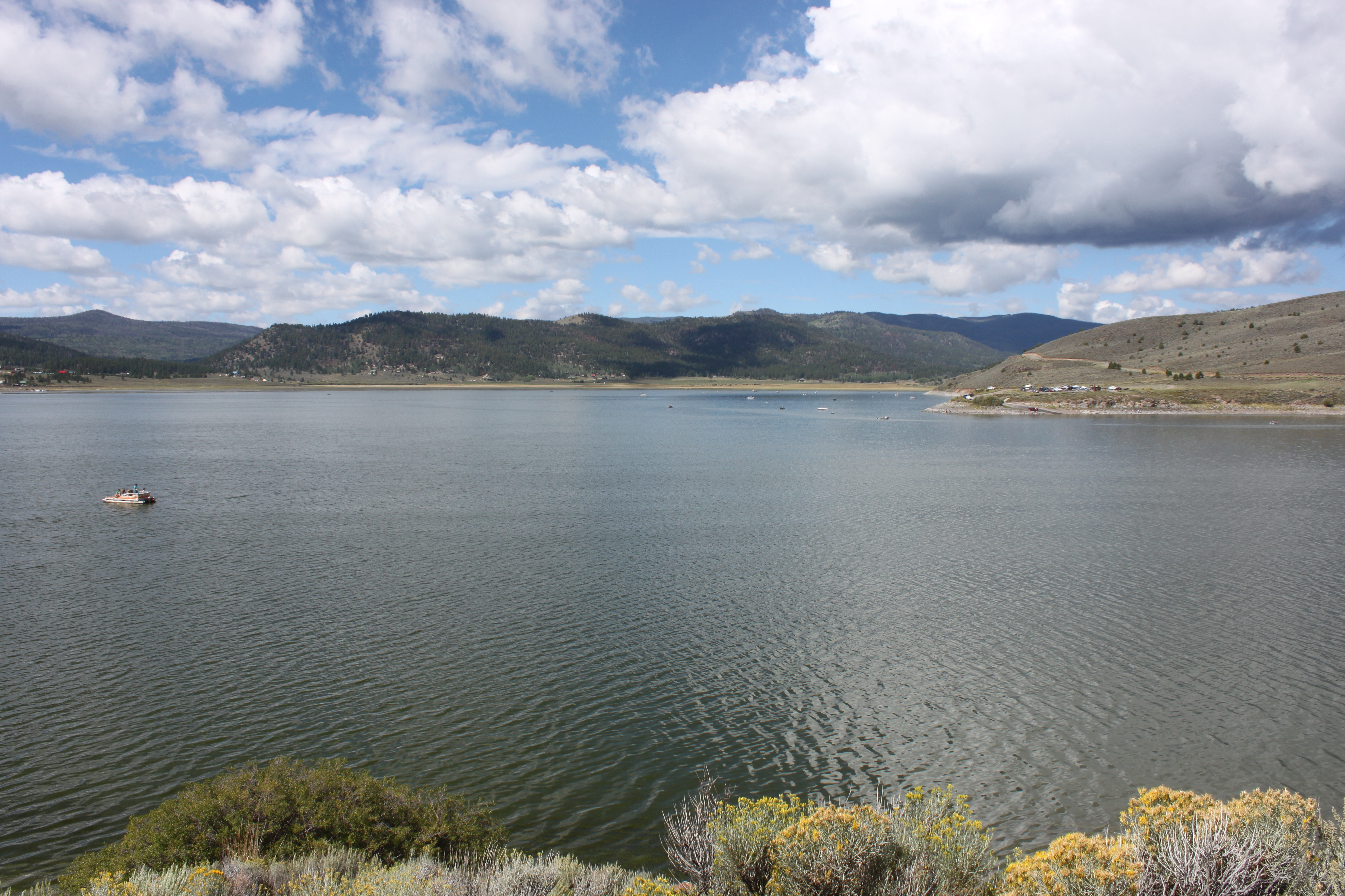
Panguitch Lake
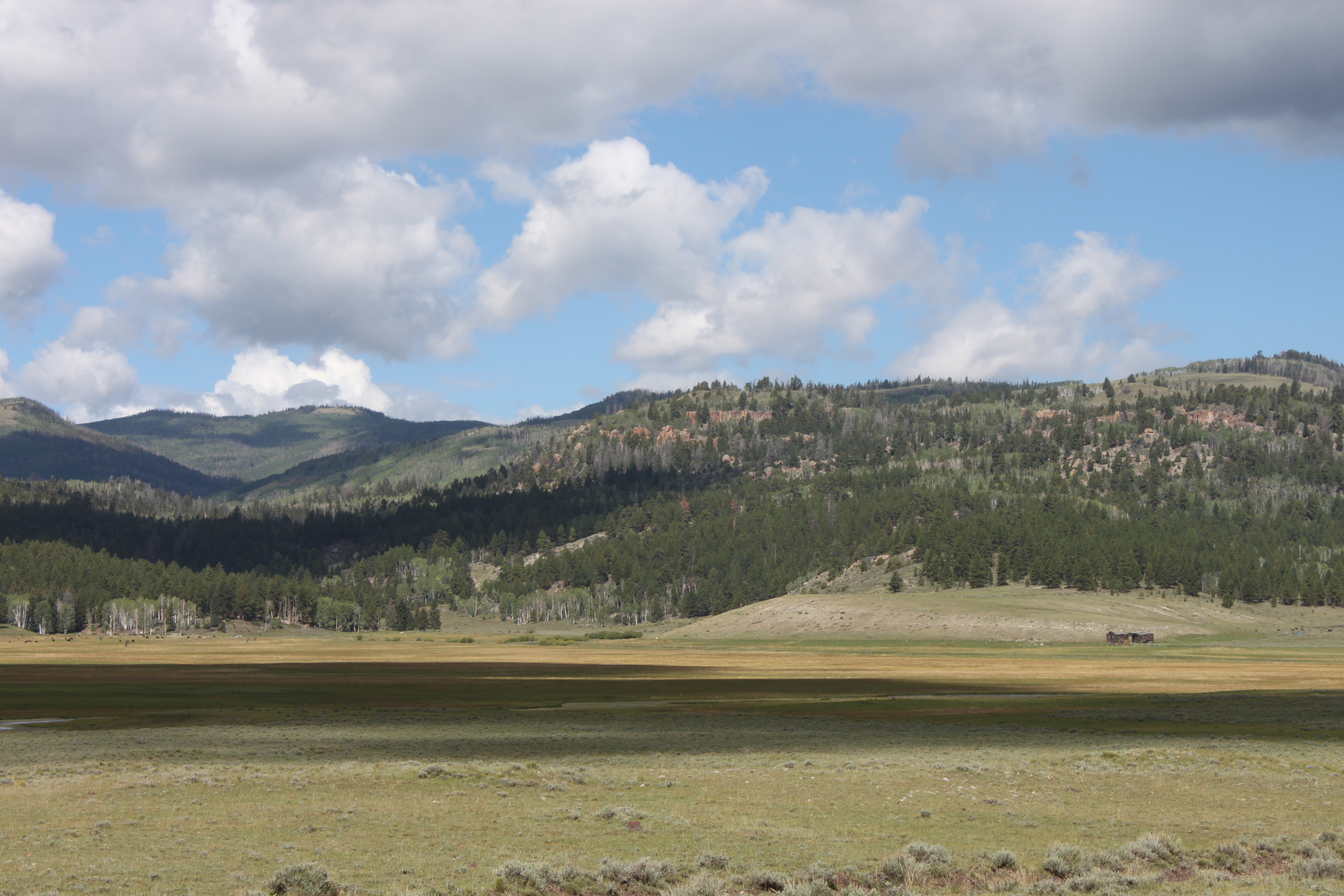
Blue Spring Valley
Cedar Breaks NM Aspen Groves

Yankee Meadows before the Brian Head fire scorched it.
S.R. 143 Between Cedar Breaks National Monument and Panguitch, Utah (15)
S.R. 143 Between Cedar Breaks National Monument and Panguitch, Utah (17)
S.R. 143 Between Cedar Breaks National Monument and Panguitch, Utah (14)
Dixie NF - Sidney Valley RD Shaded Apens2
Topographic Map of E Fishin Cove Cir, Panguitch, UT, USA
Find elevation by address:

Places near E Fishin Cove Cir, Panguitch, UT, USA:
Panguitch Lake
UT-, Panguitch, UT, USA
225 Fr080
305 Fr080
305 Fr080
414 Elk Dr
94 S Buck Horn Dr
South Yankee Meadow Road
Creek Front Drive
2275 South
Uinta Flat
Duck Creek Village
G8fm+gr
2nd Left Hand Road
Asay Creek
3595 Cherokee Ln
Blue Jay Way
Uinta Flat Designated Dispersed Camping Area
Duck Creek Ridge Road
1640 Strawberry Creek Dr
Recent Searches:
- Elevation of Corso Fratelli Cairoli, 35, Macerata MC, Italy
- Elevation of Tallevast Rd, Sarasota, FL, USA
- Elevation of 4th St E, Sonoma, CA, USA
- Elevation of Black Hollow Rd, Pennsdale, PA, USA
- Elevation of Oakland Ave, Williamsport, PA, USA
- Elevation of Pedrógão Grande, Portugal
- Elevation of Klee Dr, Martinsburg, WV, USA
- Elevation of Via Roma, Pieranica CR, Italy
- Elevation of Tavkvetili Mountain, Georgia
- Elevation of Hartfords Bluff Cir, Mt Pleasant, SC, USA