Elevation of Asay Creek, Utah, USA
Location: United States > Utah > Garfield County > Hatch >
Longitude: -112.52032
Latitude: 37.5617542
Elevation: 2158m / 7080feet
Barometric Pressure: 78KPa
Elevation Map:
Satellite Map:
Related Photos:

Zion Overlook, Markagunt High Plateau Scenic Byway, Utah

The Way Out - Kane County, UT USA

View from Snoopy Rock, Mammoth Creek, UT

Hatch, Utah

Aspin Mirror

Bryce Canyon (23)

Mirrors Edge

DSC_7531.JPG

Route 9

Zion 2018-3.jpg

Camera phones are improving

Route 9

Duck Creek

DSC_7533.JPG

Route 9

Image created with #Snapseed #thenarrows #zionnationalpark #zion #trail #roadtrip

"Little Bryce" Along Hwy. 89, UT

Bryce Canyon sunrise

DSC_7543.JPG

Camera Roll-868
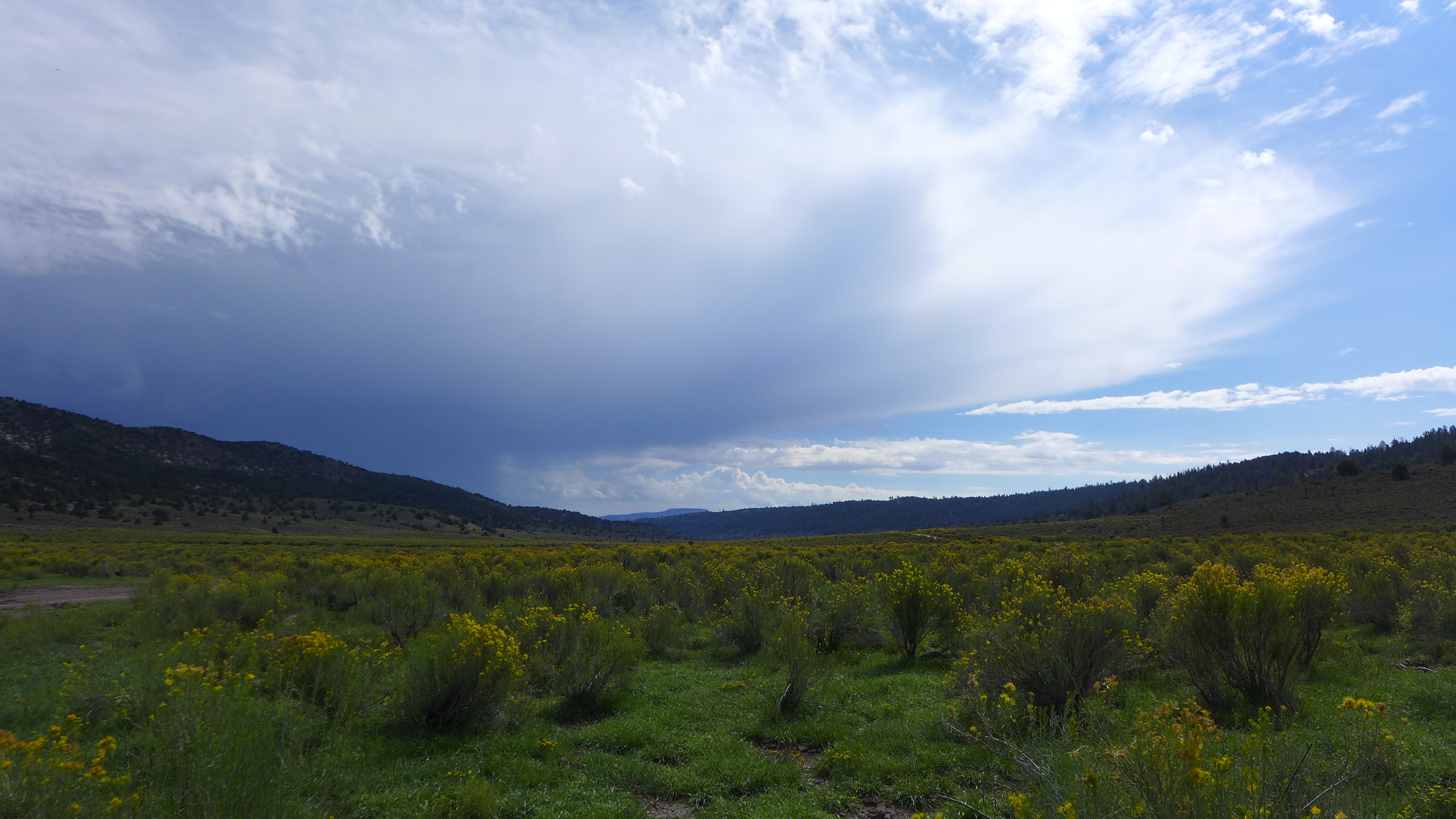
Monsoon and Rabbitbrush

USA_Day07-Red_Canyon_03

Southern Utah Country
Topographic Map of Asay Creek, Utah, USA
Find elevation by address:

Places near Asay Creek, Utah, USA:
Creek Front Drive
1351 Elkridge Dr
Uinta Flat
Uinta Flat Designated Dispersed Camping Area
Swains Creek Airport-ut00
1640 Strawberry Creek Dr
150 Apache Trail
3595 Cherokee Ln
Duck Creek Village
G8fm+gr
Duck Creek Ridge Road
UT-, Panguitch, UT, USA
Bryce Zion Campground
782 E Fishin Cove Cir
Panguitch Lake
225 Fr080
305 Fr080
305 Fr080
414 Elk Dr
94 S Buck Horn Dr
Recent Searches:
- Elevation of Corso Fratelli Cairoli, 35, Macerata MC, Italy
- Elevation of Tallevast Rd, Sarasota, FL, USA
- Elevation of 4th St E, Sonoma, CA, USA
- Elevation of Black Hollow Rd, Pennsdale, PA, USA
- Elevation of Oakland Ave, Williamsport, PA, USA
- Elevation of Pedrógão Grande, Portugal
- Elevation of Klee Dr, Martinsburg, WV, USA
- Elevation of Via Roma, Pieranica CR, Italy
- Elevation of Tavkvetili Mountain, Georgia
- Elevation of Hartfords Bluff Cir, Mt Pleasant, SC, USA