Elevation of US-, Hoquiam, WA, USA
Location: United States > Washington > Grays Harbor County > Hoquiam >
Longitude: -123.91135
Latitude: 47.1824269
Elevation: 42m / 138feet
Barometric Pressure: 101KPa
Elevation Map:
Satellite Map:
Related Photos:
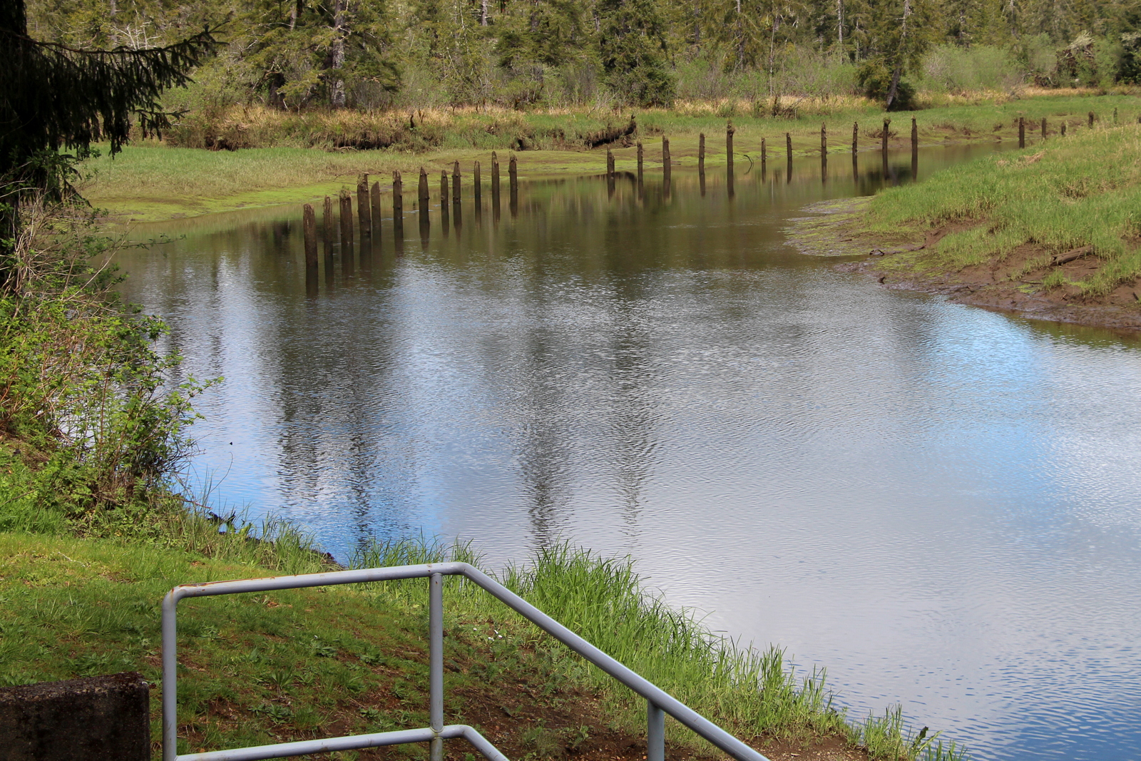
West Hoquiam River

Humptulips River

DSC_5079.JPG

DSC_5077.JPG

DSC_5089.JPG

DSC_5086.JPG

DSC_5083.JPG

DSC_5096.JPG

DSC_5212.JPG

DSC_5118.JPG

DSC_5241.JPG

DSC_5253.JPG

DSC_5261.JPG

DSC_5303.JPG

DSC_5335.JPG

DSC_5361.JPG

DSC_5326.JPG

DSC_5398.JPG

DSC_5362.JPG

DSC_5437.JPG

DSC_5429.JPG
Topographic Map of US-, Hoquiam, WA, USA
Find elevation by address:

Places near US-, Hoquiam, WA, USA:
66 Walker Rd
Bowes Road
566 Walker Rd
Middle Fork Hoquiam River
143 Kirkpatrick Rd
4687 Wishkah Rd
1608 E Hoquiam Rd
1518 Ocean Beach Rd
33 Robertson School Rd
Powell Rd, Hoquiam, WA, USA
1634 Ocean Beach Rd
Ocean Beach Road
64 Leutz Rd
Copalis Crossing
Panhandle Road
210 Brant Ln
1380 Wa-109
2011 Broadway Ave
903 Monroe St
344 Gale St
Recent Searches:
- Elevation of Corso Fratelli Cairoli, 35, Macerata MC, Italy
- Elevation of Tallevast Rd, Sarasota, FL, USA
- Elevation of 4th St E, Sonoma, CA, USA
- Elevation of Black Hollow Rd, Pennsdale, PA, USA
- Elevation of Oakland Ave, Williamsport, PA, USA
- Elevation of Pedrógão Grande, Portugal
- Elevation of Klee Dr, Martinsburg, WV, USA
- Elevation of Via Roma, Pieranica CR, Italy
- Elevation of Tavkvetili Mountain, Georgia
- Elevation of Hartfords Bluff Cir, Mt Pleasant, SC, USA