Elevation of US-, Harpersville, AL, USA
Location: United States > Alabama > Talladega County > Harpersville >
Longitude: -86.4603863
Latitude: 33.348473
Elevation: 151m / 495feet
Barometric Pressure: 0KPa
Related Photos:
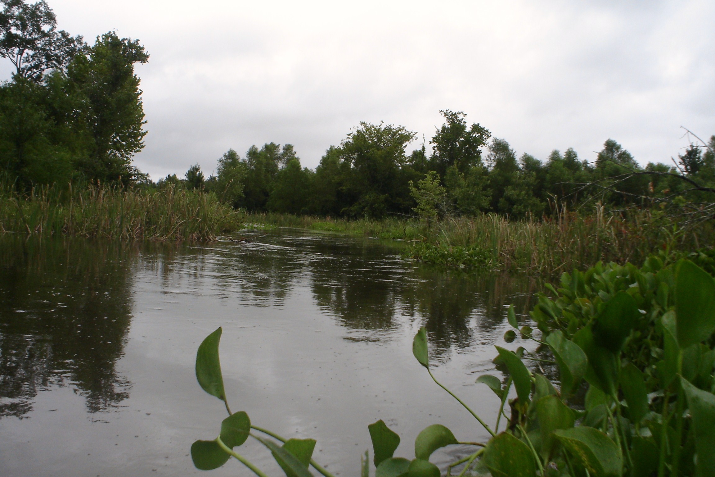
Swolen Creek North View
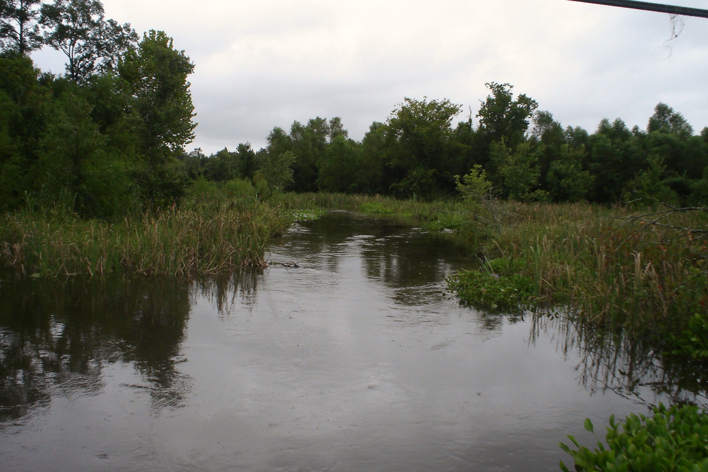
Swolen Creek South View

Beautiful View from Hargis

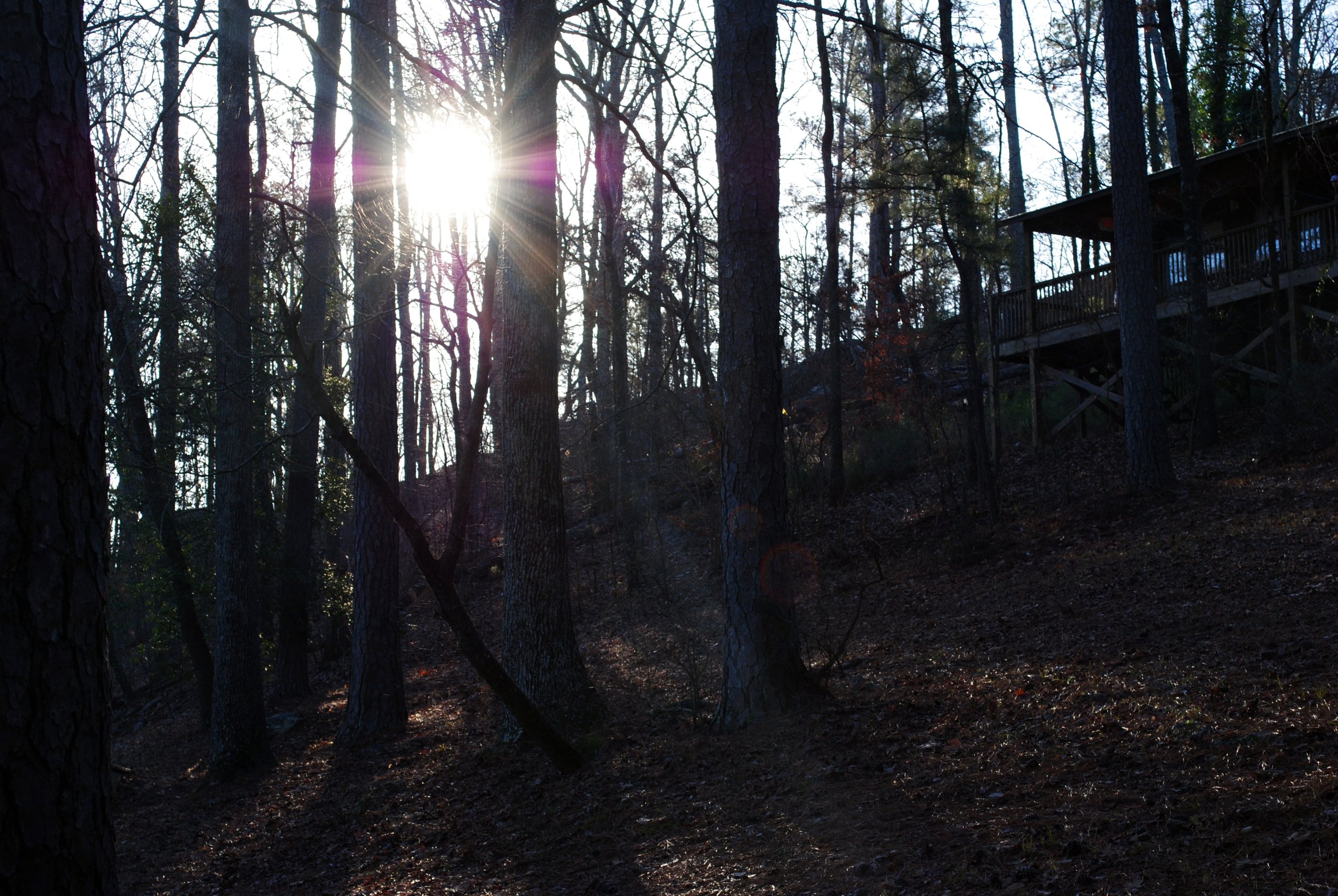
View from the Hill

The Meet
Kymulga Covered Bridge
Distant red shack #Seed preps for takeoff
Sun.
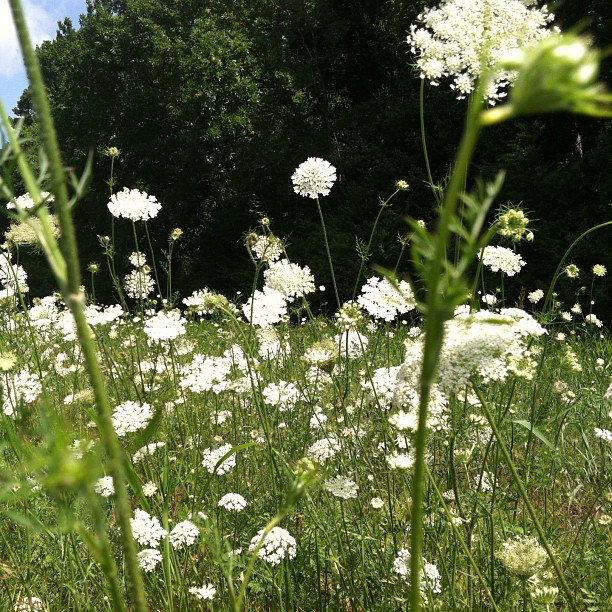
Saint Ann's Lace

sunset 6

sunset 2

Friday sunset

2010-03-07 RlyX at SBRP

2010-03-07 RlyX at SBRP
Chicken Coop

2010-03-07 RlyX at SBRP

2010-03-07 RlyX at SBRP

2010-03-07 RlyX at SBRP

198 Eastbound
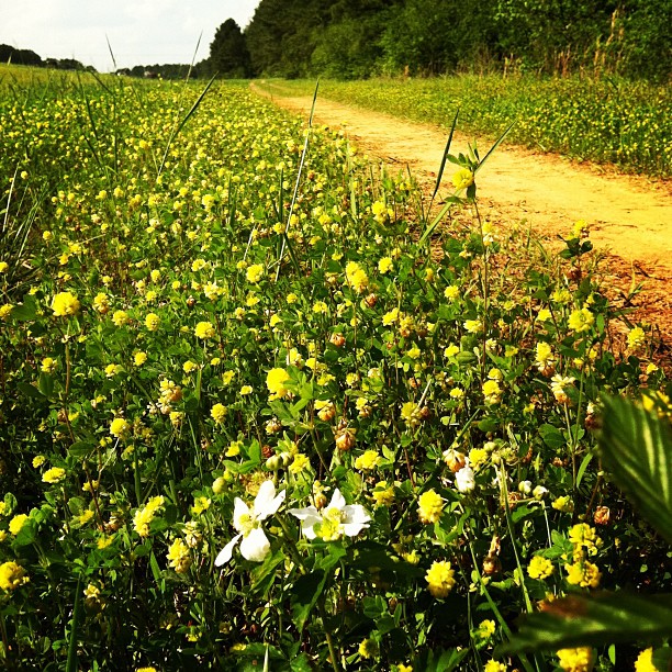
Blackberry Blossom in #yellow clover #country

2010-03-07 RlyX at SBRP
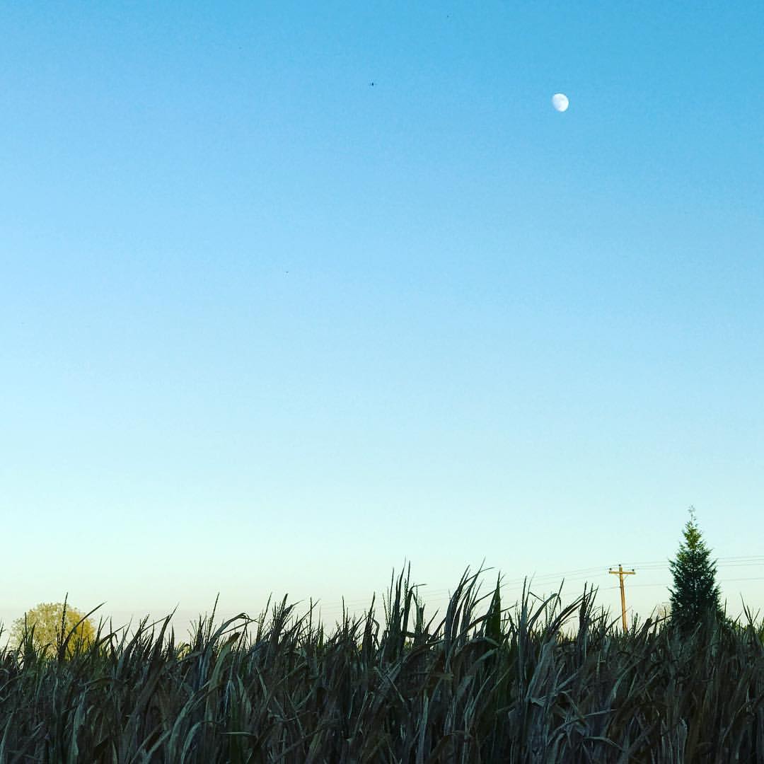
Autumn moon.
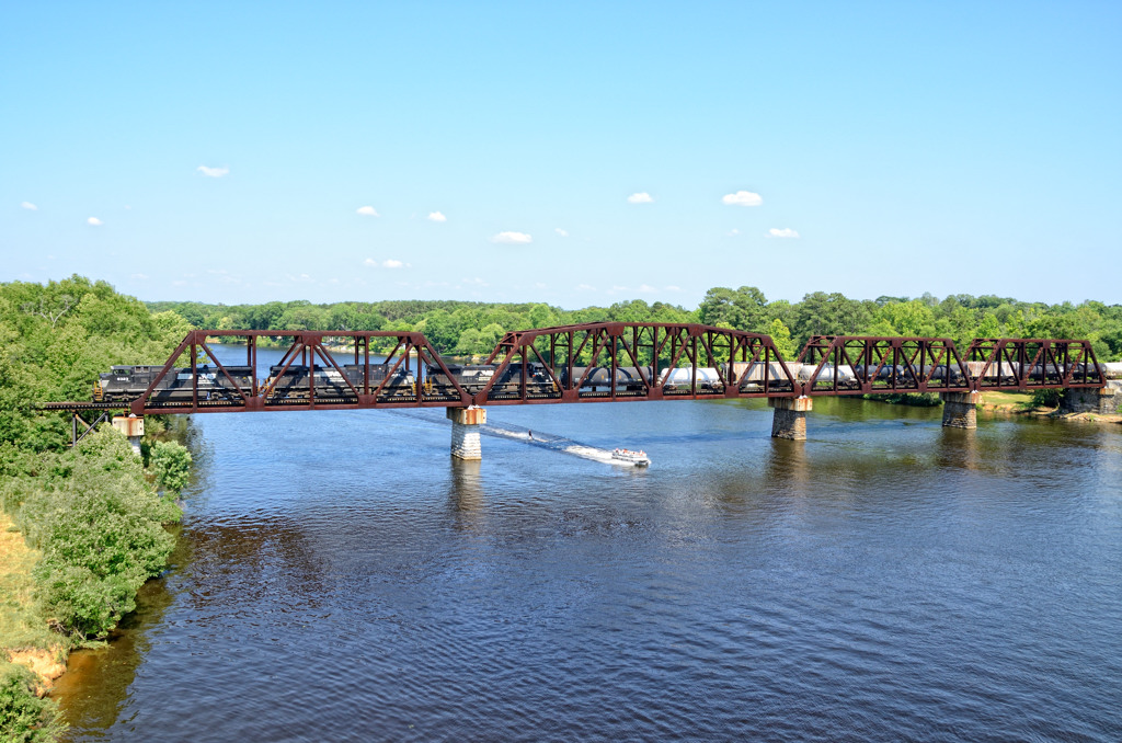
Coosa River Crossing

Caught in the Glow
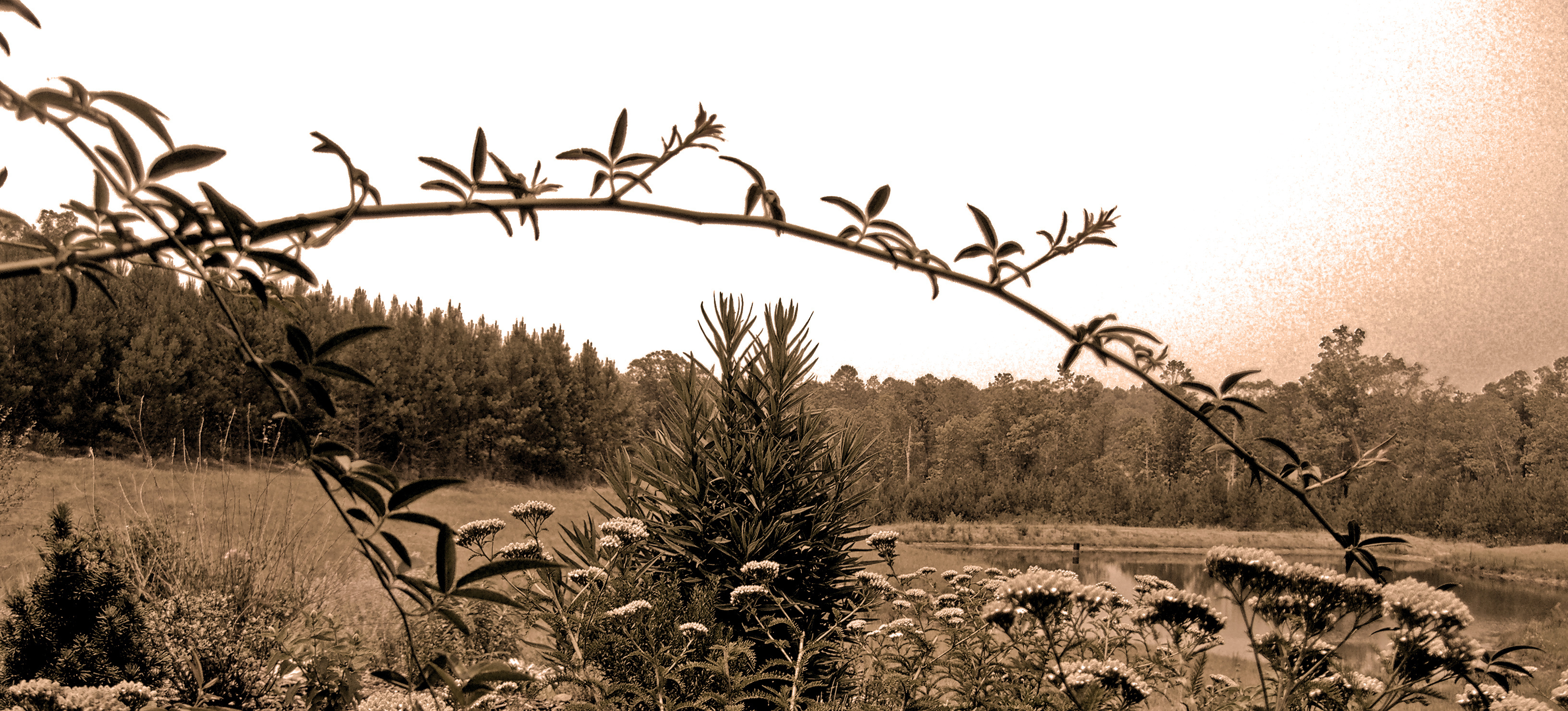
Fighting for Skyline
Topographic Map of US-, Harpersville, AL, USA
Find elevation by address:

Places near US-, Harpersville, AL, USA:
5431 Rock School Rd
Harpersville
Deerwood Lake Drive
Vincent
1377 Glaze Ferry Rd
County Rd 62, Vincent, AL, USA
Sun Valley Rd, Harpersville, AL, USA
Plant Rd, Harpersville, AL, USA
120 River Run Rd
Wilsonville
2 Lessor Dr, Childersburg, AL, USA
Valentine Trail, Wilsonville, AL, USA
Childersburg
320 1st St Se
Renfroe Rd, Alpine, AL, USA
Kings Chapel Rd, Alpine, AL, USA
Coleman Bridge Rd, Sylacauga, AL, USA
235 Old Georgia Cir
8215 Plant Rd
Plantersville Rd, Alpine, AL, USA
Recent Searches:
- Elevation map of Greenland, Greenland
- Elevation of Sullivan Hill, New York, New York, 10002, USA
- Elevation of Morehead Road, Withrow Downs, Charlotte, Mecklenburg County, North Carolina, 28262, USA
- Elevation of 2800, Morehead Road, Withrow Downs, Charlotte, Mecklenburg County, North Carolina, 28262, USA
- Elevation of Yangbi Yi Autonomous County, Yunnan, China
- Elevation of Pingpo, Yangbi Yi Autonomous County, Yunnan, China
- Elevation of Mount Malong, Pingpo, Yangbi Yi Autonomous County, Yunnan, China
- Elevation map of Yongping County, Yunnan, China
- Elevation of North 8th Street, Palatka, Putnam County, Florida, 32177, USA
- Elevation of 107, Big Apple Road, East Palatka, Putnam County, Florida, 32131, USA
- Elevation of Jiezi, Chongzhou City, Sichuan, China
- Elevation of Chongzhou City, Sichuan, China
- Elevation of Huaiyuan, Chongzhou City, Sichuan, China
- Elevation of Qingxia, Chengdu, Sichuan, China
- Elevation of Corso Fratelli Cairoli, 35, Macerata MC, Italy
- Elevation of Tallevast Rd, Sarasota, FL, USA
- Elevation of 4th St E, Sonoma, CA, USA
- Elevation of Black Hollow Rd, Pennsdale, PA, USA
- Elevation of Oakland Ave, Williamsport, PA, USA
- Elevation of Pedrógão Grande, Portugal